Not the best night listening to traffic on the motorway which is only 800 metres away. Those trucks seem to run all night. Wake to a clear blue sky forecast to be quite warm
As most of the riders had not done the scenic stuff yesterday like I did - we did the bridges loop out of town
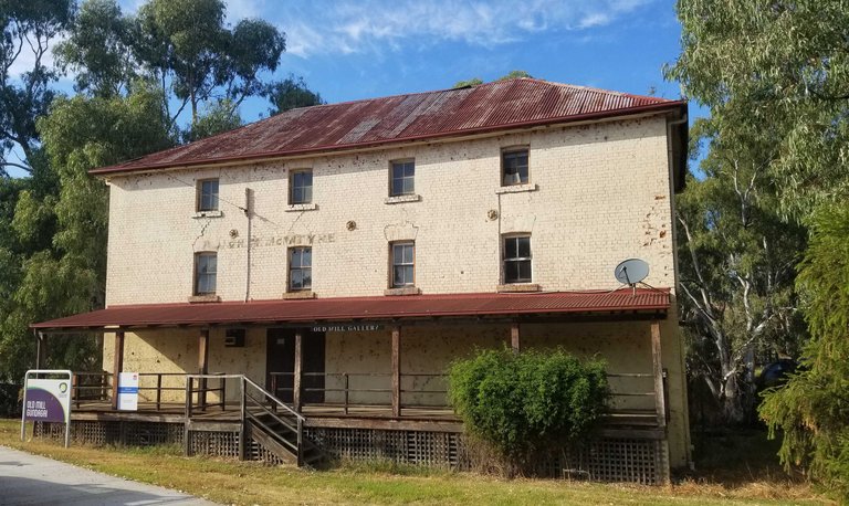
Did add in the photo of the old mill
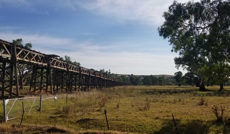
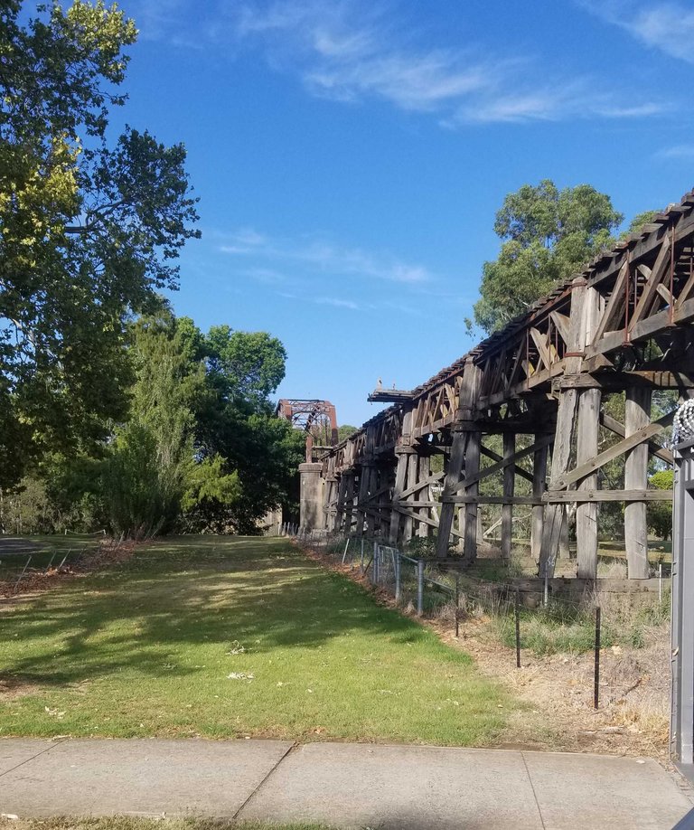
Started out on the Brungle Road - view back along the railway viaduct toward town
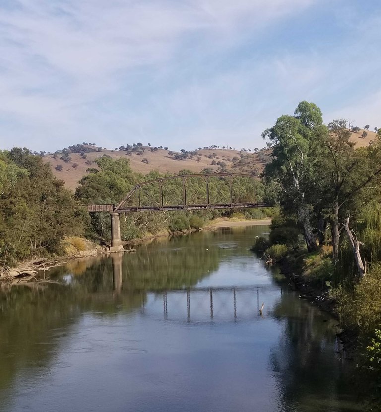
View down the Murrumbidgee River from the remain riad bridge to the rail suspension bridge
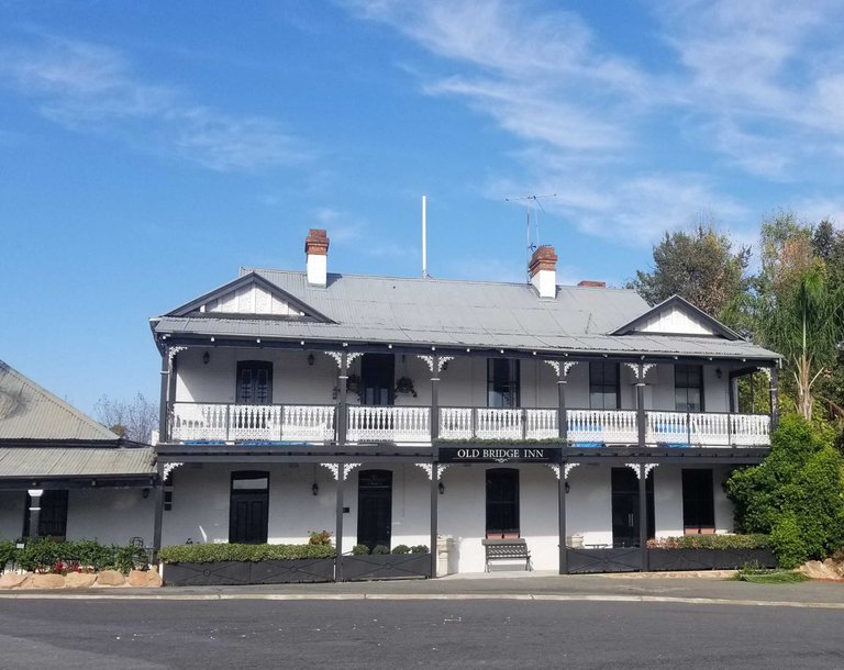
Bridge Inn in South Gundagai - does not look like it is used as an inn anymore. Route ran along the south bank for a bit before rejoining the north-south Hume Highway
Was rising on the bike path. Saw some cat head plants in the join between bike path and road. Went right over it. Stopped straight away to check. Sure enough - got one. Hoping that quick discovery and extraction was enough. 400 metres later the front ryre was down
What is a cat head? Aussie name is triple jack. Where I come from they call them a dubbeltjie. A hard seed thorn that has 3 points. Whichever way it lays on the grouhd there is a spike facing up. The irony is they arrived in cattle feed brought in from where I came from in the first world war
Got it fixed. The other riders waited down the road. Pumped up - checked for proper seating of the bead. Ride - bump - bump. Not beaded right - stop and fix.
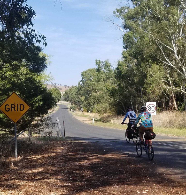
10kms on a quiet Hume Highway and then off to Tumblong - rest break at Adelong Crossing Hotel. Photo is riders starting on Tumblong Rd
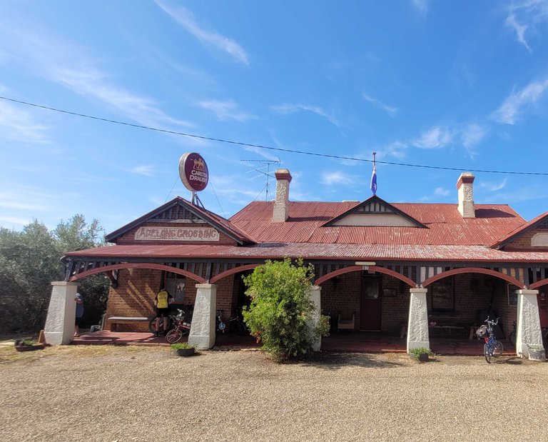
Hotel was once a staging post for Cobb and Co stagecoaches
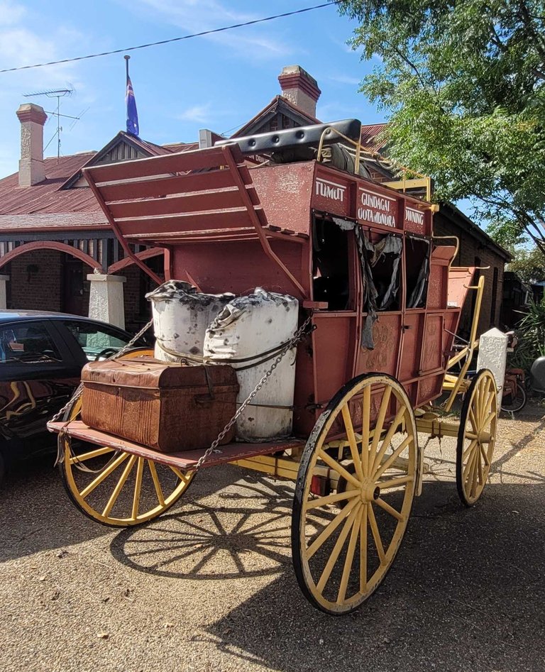
One still standing
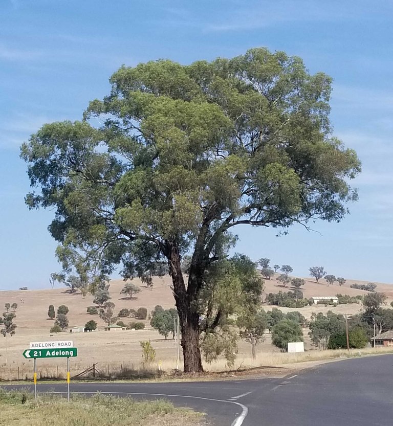
Turn left before thinking about a climb over the hill ahead
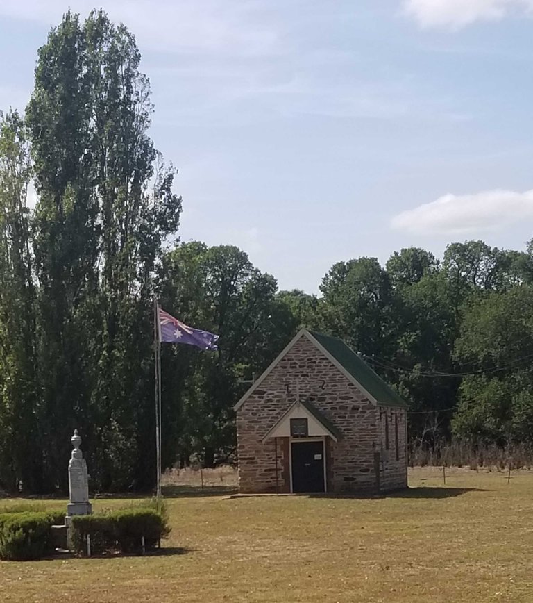
Tumblong Memorial. I Googled after we stopped if there were any Commonwelath War Graves in the cemetery - none but the first name on the memorial from WWI is buried in the same cemetery in France as the great uncle of a friend. We visited his grave together a few years back
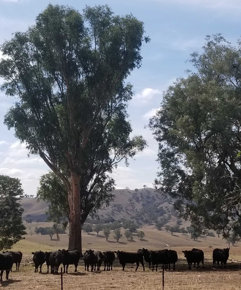
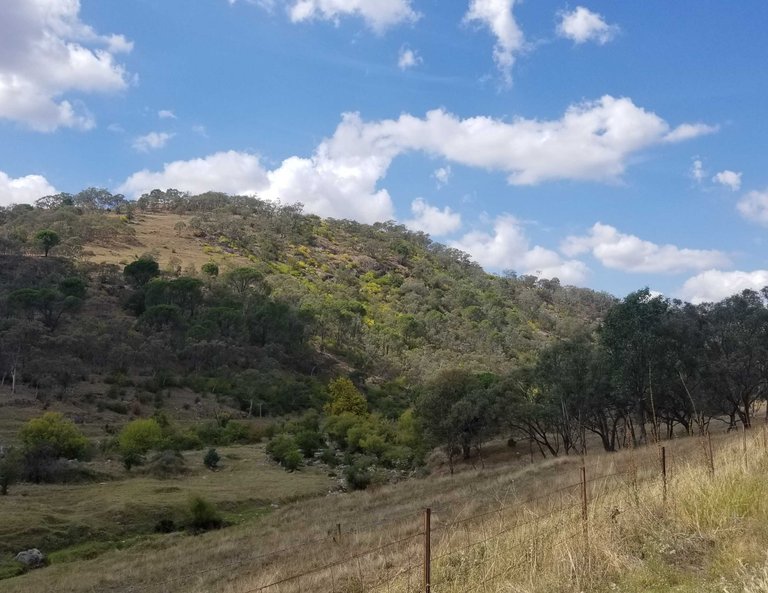
A distinctive sight here is the black Angus cattle . Photo framing of the big trees and Mt Oberme behind
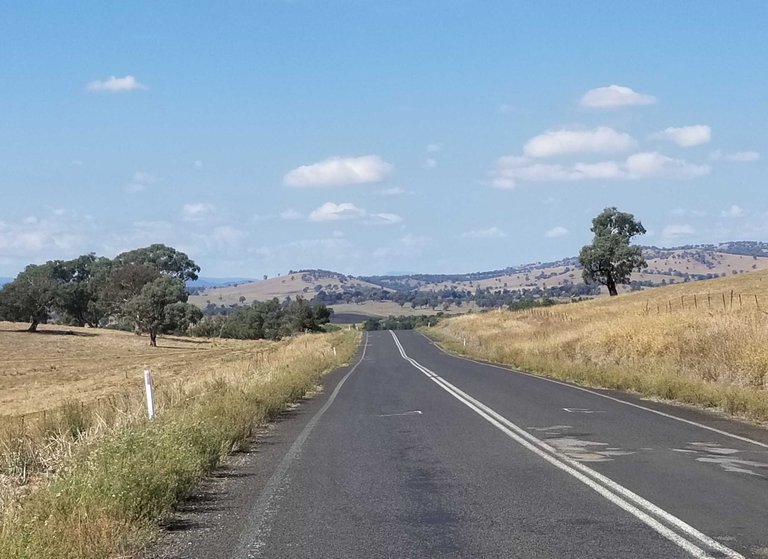
Rolling hills as we head toward the foothills of the big mountains - going upstream
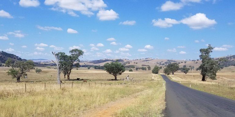
The colour is brown and the bends wide and lazy
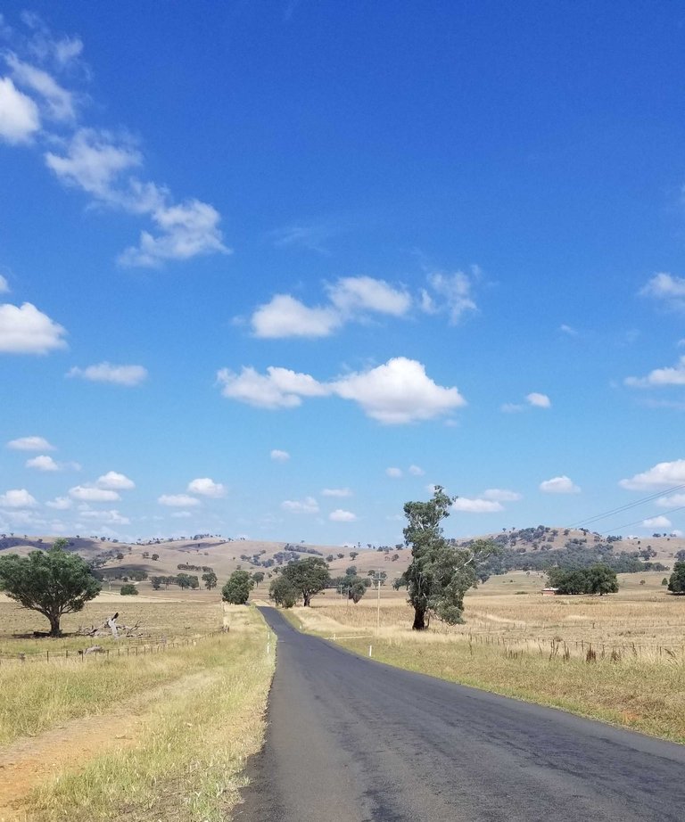
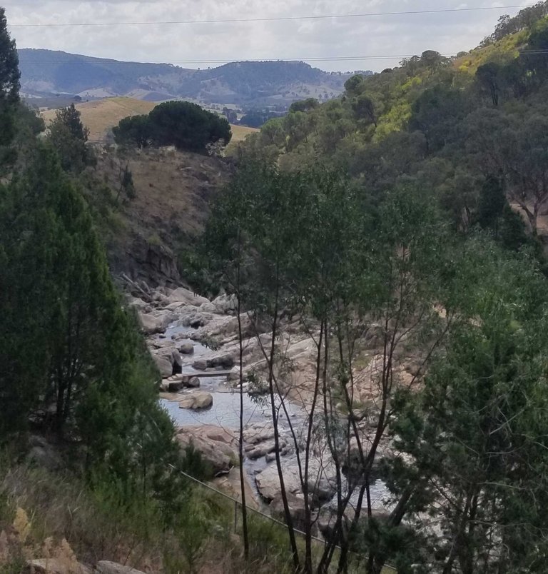
Two photos - one landscape for the vista and one portrait for the profile ahead
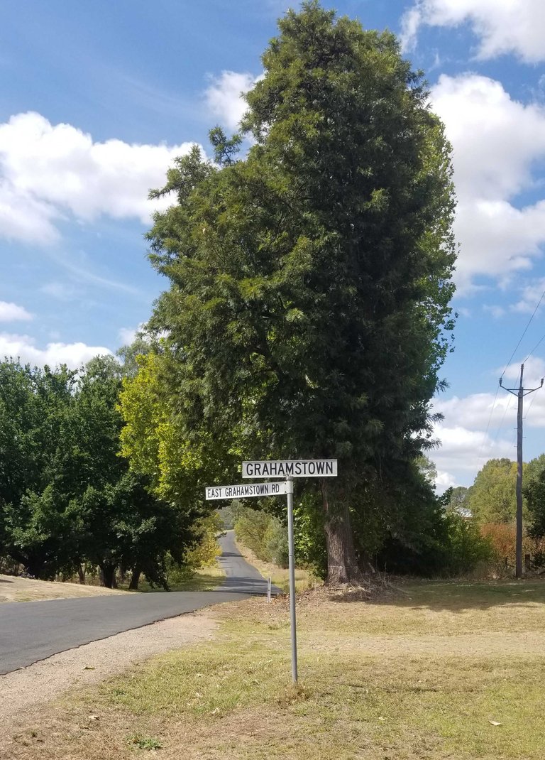
Locality shot had to happen - I did my military service in South Africa in Grahamstown. This tiny town in New South Wales will have been named after the same guy. He served in both countries
Country greening up a bit
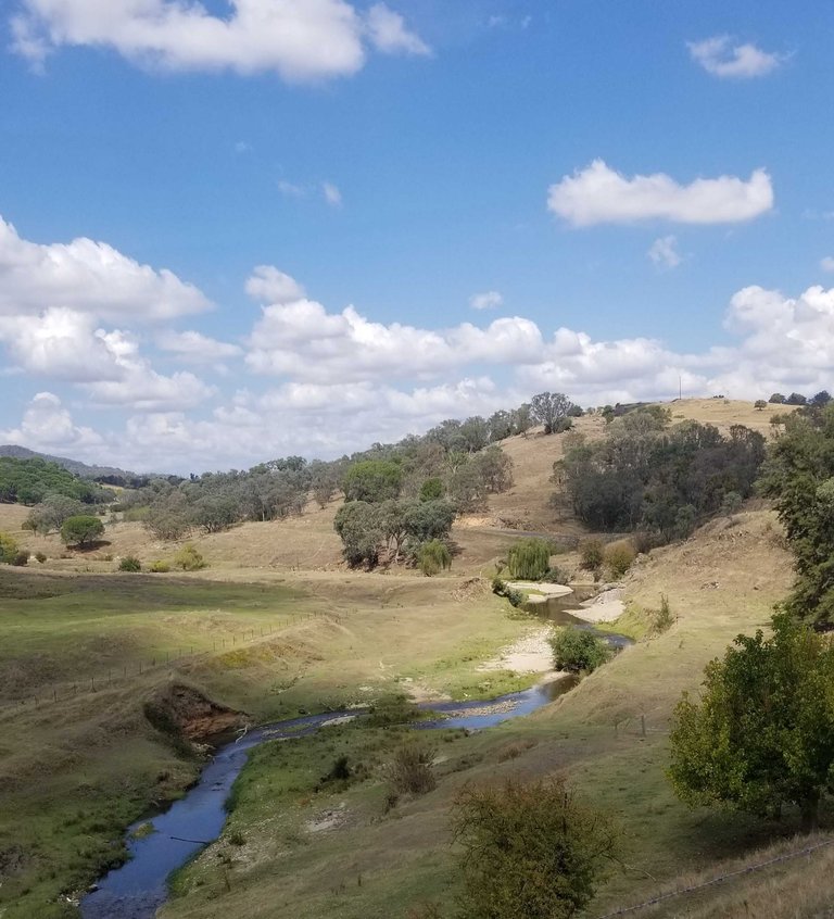
Fab views of the bubbling creek not far from our target
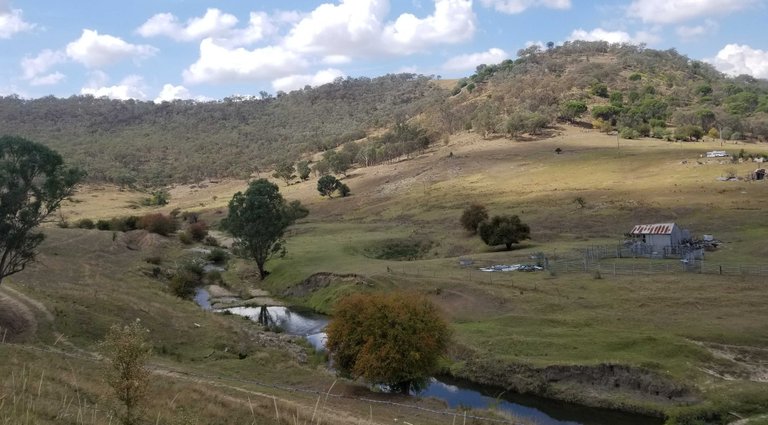
Looking back
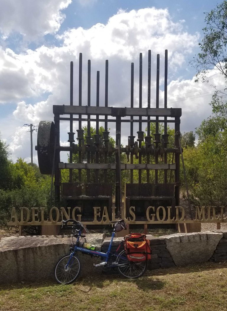
Plan was to take lunch at Adelong Falls - where they built crushing mills for gold driven by water wheels
Views from the top down to the old workings
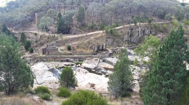
The old stamper
This report was published via Actifit app (Android | iOS). Check out the original version here on actifit.io


Height183.0 cm |  | Weight90.0 kg |  | Body Fat% |  |
Waistcm |  | Thighscm |  | Chestcm |  |


!discovery 30
This post was shared and voted inside the discord by the curators team of discovery-it
Join our Community and follow our Curation Trail
Discovery-it is also a Witness, vote for us here
Delegate to us for passive income. Check our 80% fee-back Program
Niceeee
I wonder how you remember the explanation of each pictures you took
They look great!
I talk to myself about the picture when I frame it. And I am writing about stuff the day before. The sequence if photos is key too as it reminds where I was. I do not get them all right
#hive #posh