perhaps because the earth isn't what they say?
if found this here
Truth is staring us in the face.
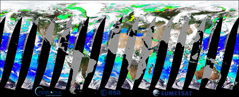
If the earth were a ball, and a satellite where circling as the picture indicates... the map should reconnect as it is at the top at the bottom as well.
Congratulations @klevn! You received a personal award!
You can view your badges on your Steem Board and compare to others on the Steem Ranking