BAKER RIVER
English
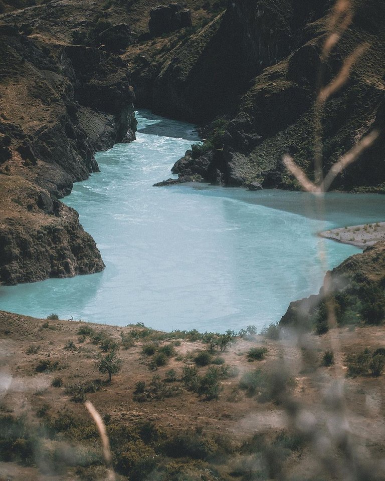
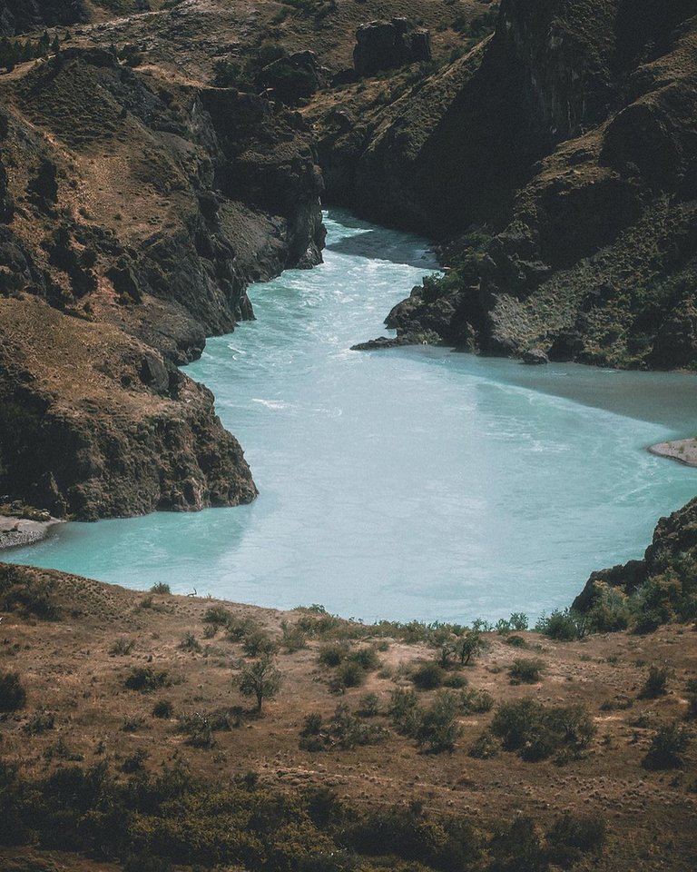
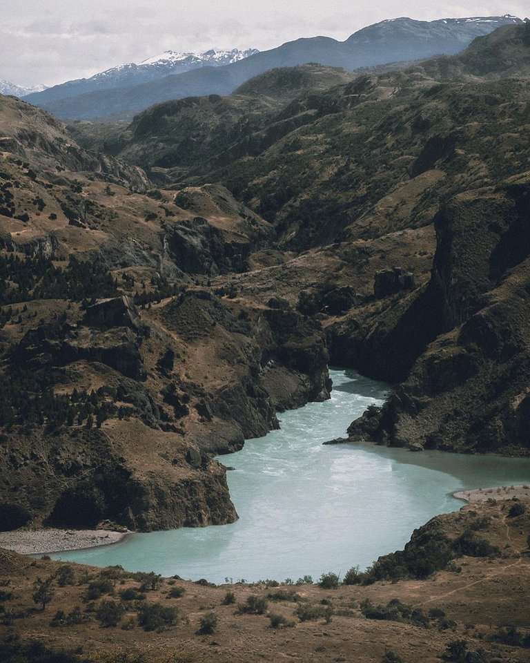
The Baker River is a natural watercourse that originates in Lake Bertrand and flows in a general southern direction in the Aysén del General Carlos Ibáñez del Campo Region until it empties into the Pacific Ocean.
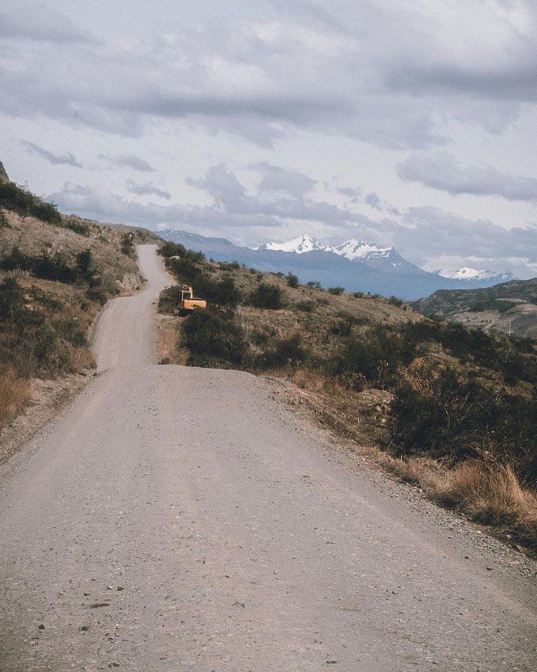
Its basin covers 20,436 km² and is shared by Chile and Argentina, forming an exceptional territory due to the heterogeneity, uniqueness, environmental quality, social and territorial importance of the aquatic systems that constitute it.
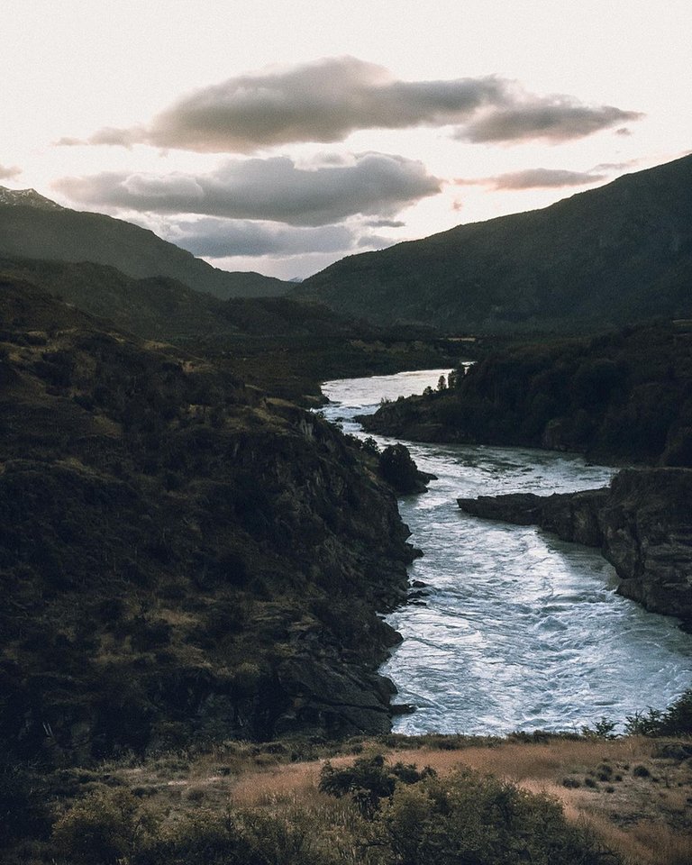
It has a total length of 370 km: from Lake General Carrera (the second largest lake in South America) to its mouth it measures only 175 km. However, if it is measured from the farthest point from which it originates, which is the Fénix Chico River in Argentina, a tributary of Lake Buenos Aires, then its length rises to 370 km.
Among its tributaries are the Nef, Chacabuco, Cochrane, Del Salto, Colonia, Los Ñadis, Ventisquero and Vargas rivers. The Murta, Ibáñez and Avellano rivers also flow into the Baker, connected through Lake General Carrera.
At its mouth in Bajo Pisagua it forms a delta with two main branches, of which only the northern one is navigable.
Español
El río Baker es un curso natural de agua que nace en el lago Bertrand y fluye con dirección general sur en la Región de Aysén del General Carlos Ibáñez del Campo hasta desembocar en el océano Pacífico
Su cuenca abarca 20.436 km² y es compartida por Chile y Argentina formando un territorio excepcional por la heterogeneidad, singularidad, calidad ambiental, importancia social y territorial de los sistemas acuáticos que lo constituyen.
Tiene una longitud total de 370 km: desde el lago General Carrera (el segundo más grande de Sudamérica), hasta su desembocadura mide sólo 175 km. Sin embargo si se mide desde el punto más alejado desde el cual proviene, que es el río Fénix Chico en Argentina tributario del lago Buenos Aires, entonces su largo asciende a 370 km.1
Entre sus afluentes destacan los ríos Nef, Chacabuco, Cochrane, Del Salto, Colonia, Los Ñadis, Ventisquero y Vargas. Vierten también en el Baker, conectados a través del lago General carrera, los ríos Murta, Ibáñez y el Avellano.
En su desembocadura en Bajo Pisagua forma un delta con dos brazos principales, de los cuales sólo el norte es navegable.

arriba MEXICO!
Tienes un trabajo muy profesional, excelentes fotografías amigo! Sigue compartiendo tu trabajo, desde ahora te seguiré. Un saludo y cuídate, arriba Uruguay, arriba América LATINA!!!
Congratulations, your post has been added to Pinmapple! 🎉🥳🍍
Did you know you have your own profile map?
And every post has their own map too!
Want to have your post on the map too?
Interesting shots! @nicolasdosse