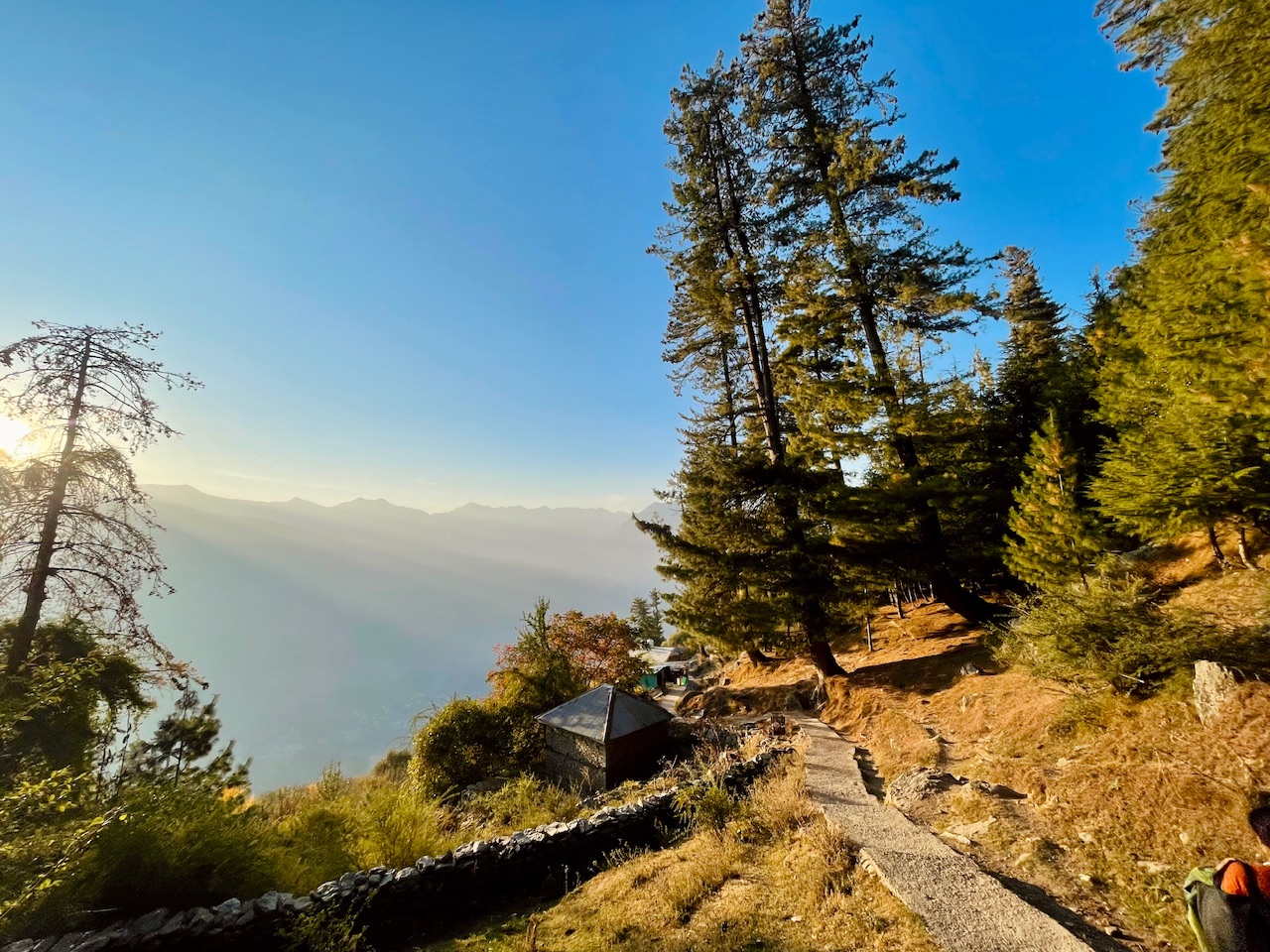
Can we be still
Still for a moment
like a frozen ice
like a frozen leaf of the fall
It was the place that made us wonder it all...
Julley Everyone,
A beautiful day out here in Kullu a main town of Manali Region Himalayas, We been thinking about where to go, which peak to hike up and which place to explore. As the world has a lot to see and to share so we began.
Had a plan of exploring the Kullu Valley this week. Can’t do the whole valley for sure in a single week as it would take years and years to explore this magnificent and mysterious yet beautiful valley.
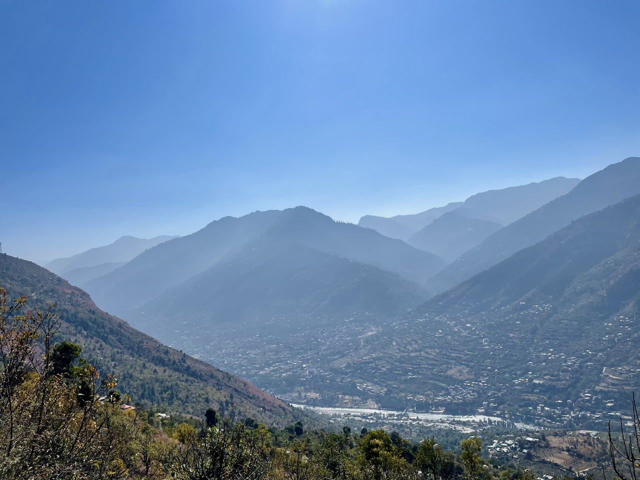
For the day we decided and planned an expedition to the Kharal Valley. The valley onto the left banks of River Beas. It was a more than 20kms of steep uphill drive as even the altitude was quite high as compare to the Kullu Town. There were several curves on the roads and the road and the places were even distinguished by the curves.
Shangri Bagh, Kullu
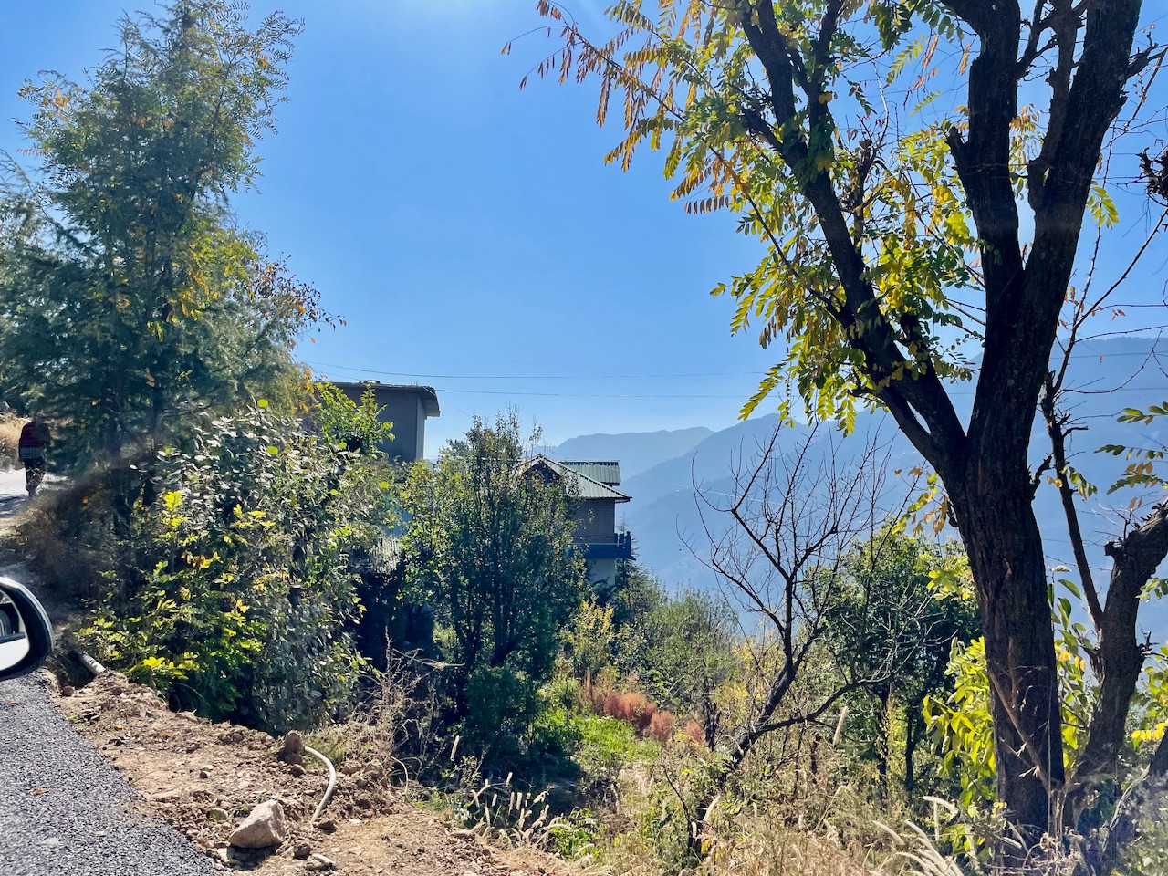
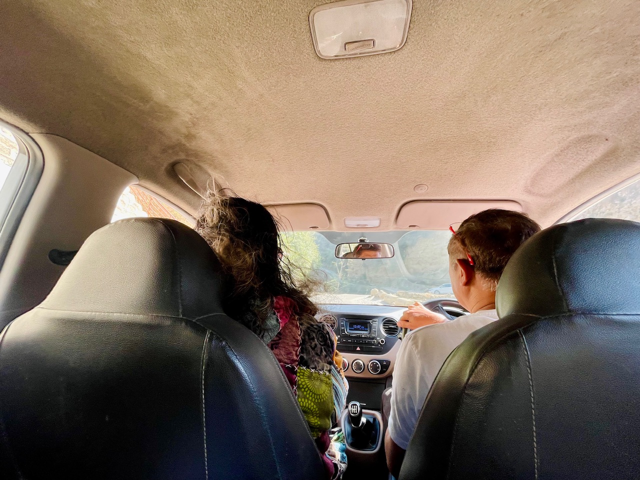
Stated our journey to the Kharal Rd. and Beyond. It was to explore the top of the mountain peak and reach to the isolated and hidden villages of the Himalayas were life was still a life as compare to the todays hustle and bustle.
The first village after Ramshilla Kullu was Shangri Bagh and then followed by the village Deo Dar. Which was named after the Himalaynan Native trees of Deo Dar more than 30-40 feet tall and of age more than 200-300 years.
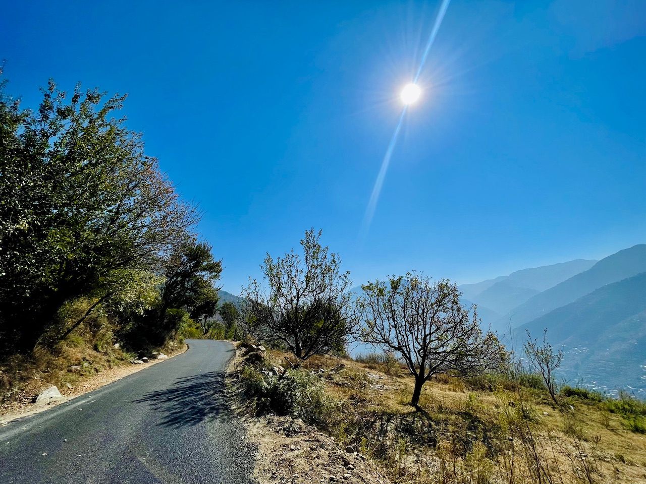
The road seemed quite fine as there was a newly construction of the road and new tiring took place fixing up the old patchy road that I hear from the locals.
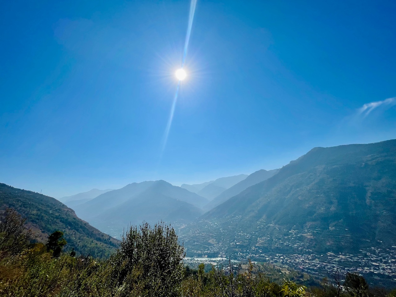
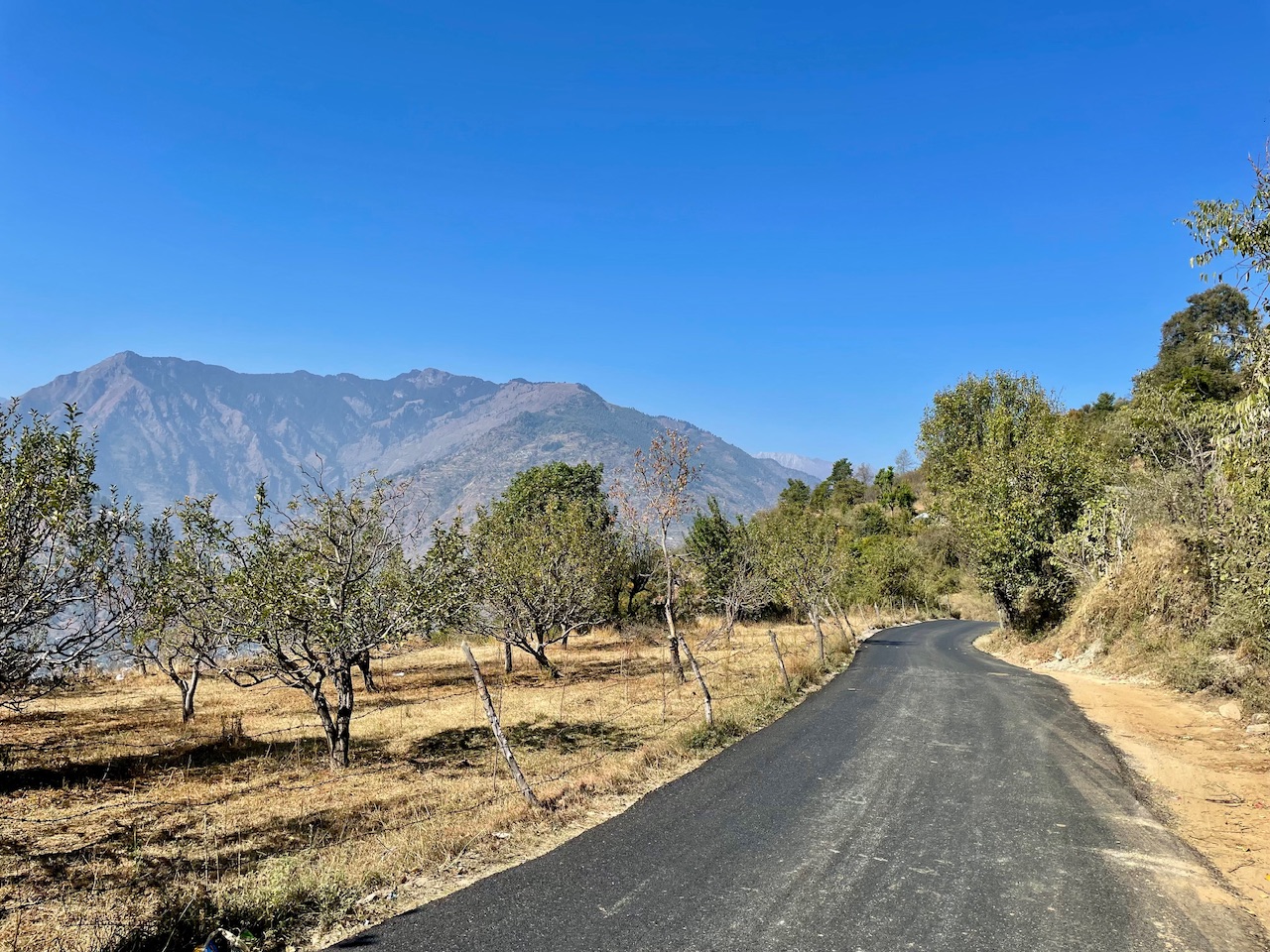
Straight onto our was the peak of Bhekhli Region and beyond that was the Beyasar Region of Kullu Valley. It was quite an isolated place as I had heard from the locals even I had not visited this part of the valley and very few of the locals even know about this place.
The road, Kharal Rd. was nearly constructed by the side of the mountain making it accessible to reach to the top of the mountain peak in just a single go otherwise it used to take a lot of hours hiking tht whole peak right from Kullu and now the road had made it a relief.
The End of the Road.
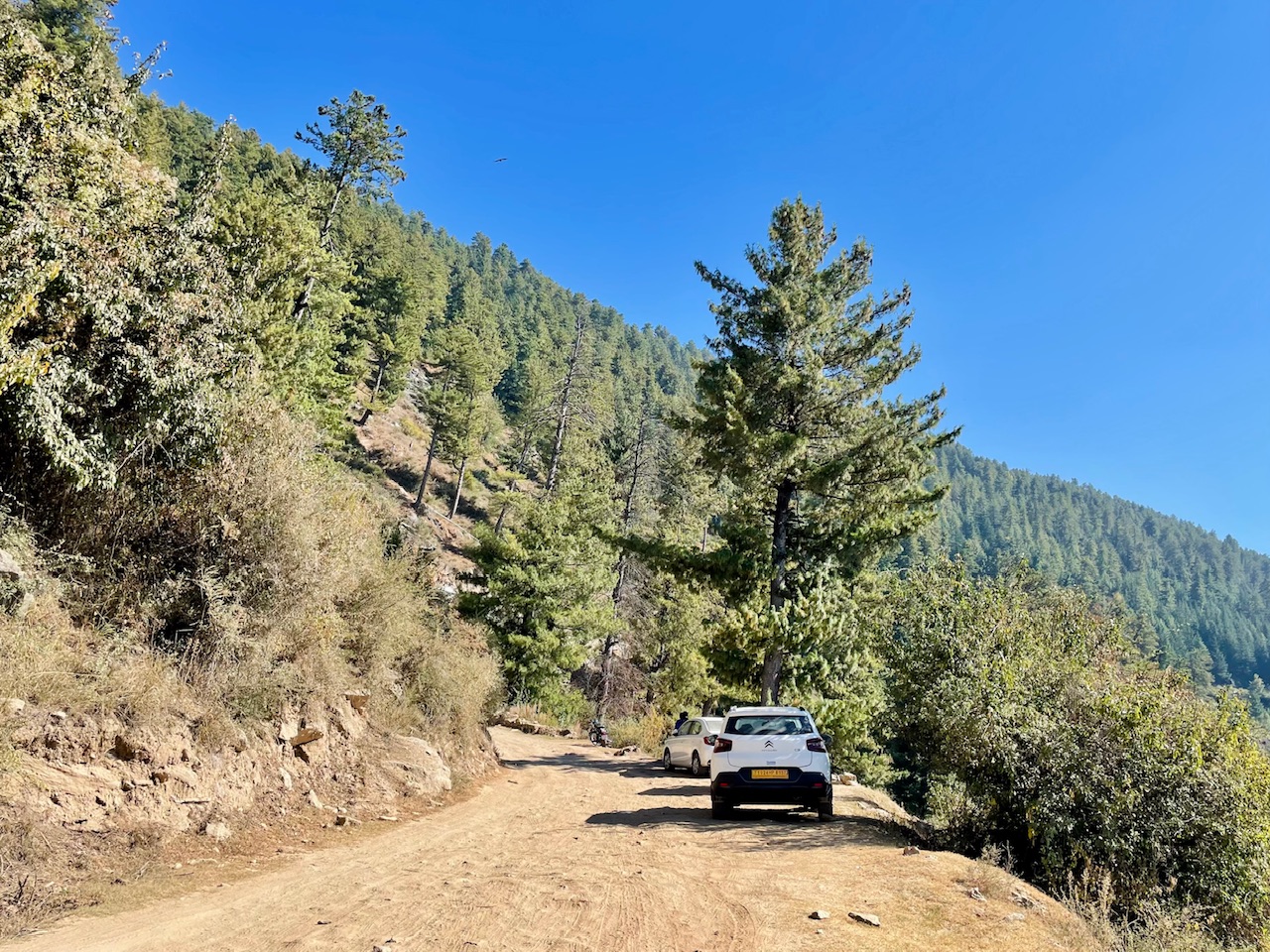
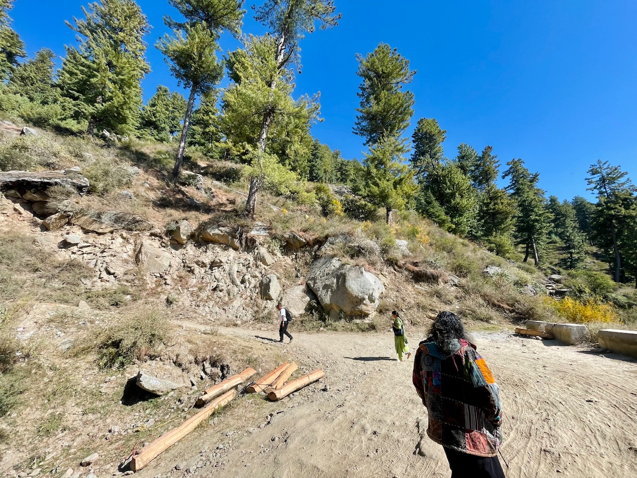
It had been a while us driving through the Kharal Rd. and at this point even the road seemed like that it it came to and end. There was no tiring on the road neither the filling work. It was just a trail that let us to the top of the Mountain peak. It had been more than 18Kms since we started our journey on the wheels and reached this place.

As when we reached at this point what we felt was a sudden drop in the temperature which was due to the change in altitude that we had gain. We even noticed that the climate too had a little change as the trees over here seemed more yellow and had a fall vibe in it as compared to Kullu and that too was due to the altitude and climate of the place. It seemed like that we came ahead it time as the fall season was yet to start in the plains of the Valley.
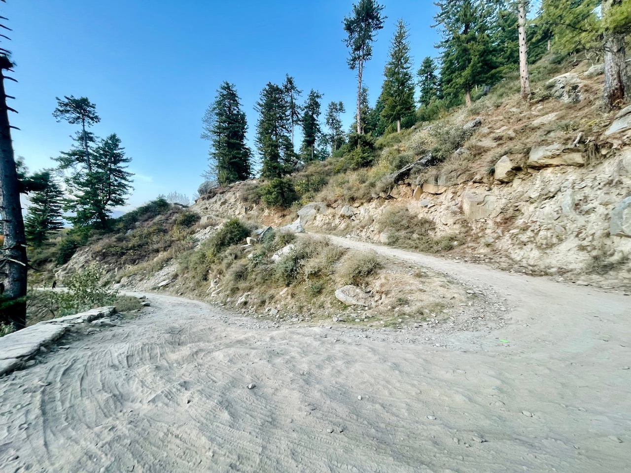
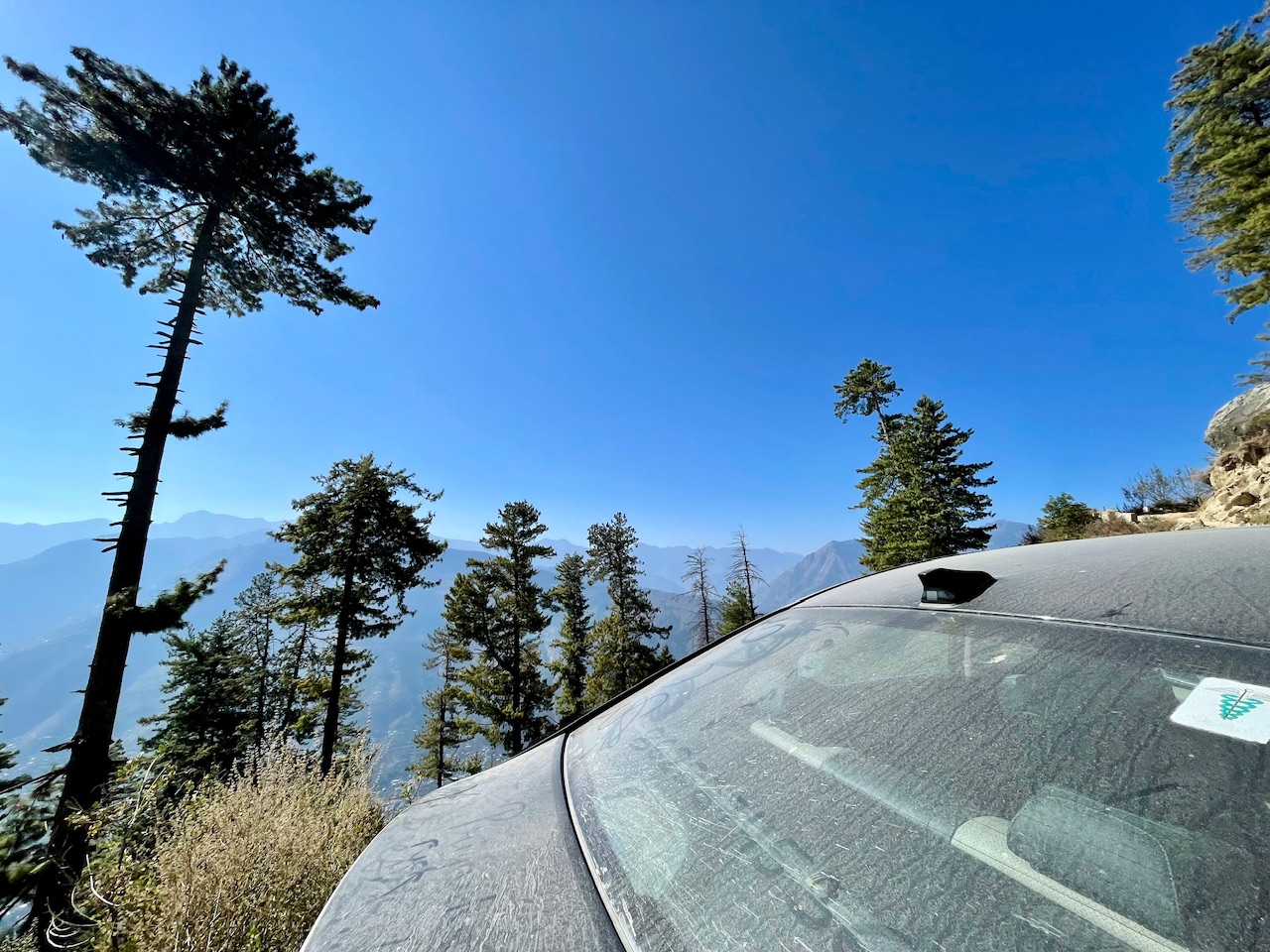
The fall.
In the Woods.
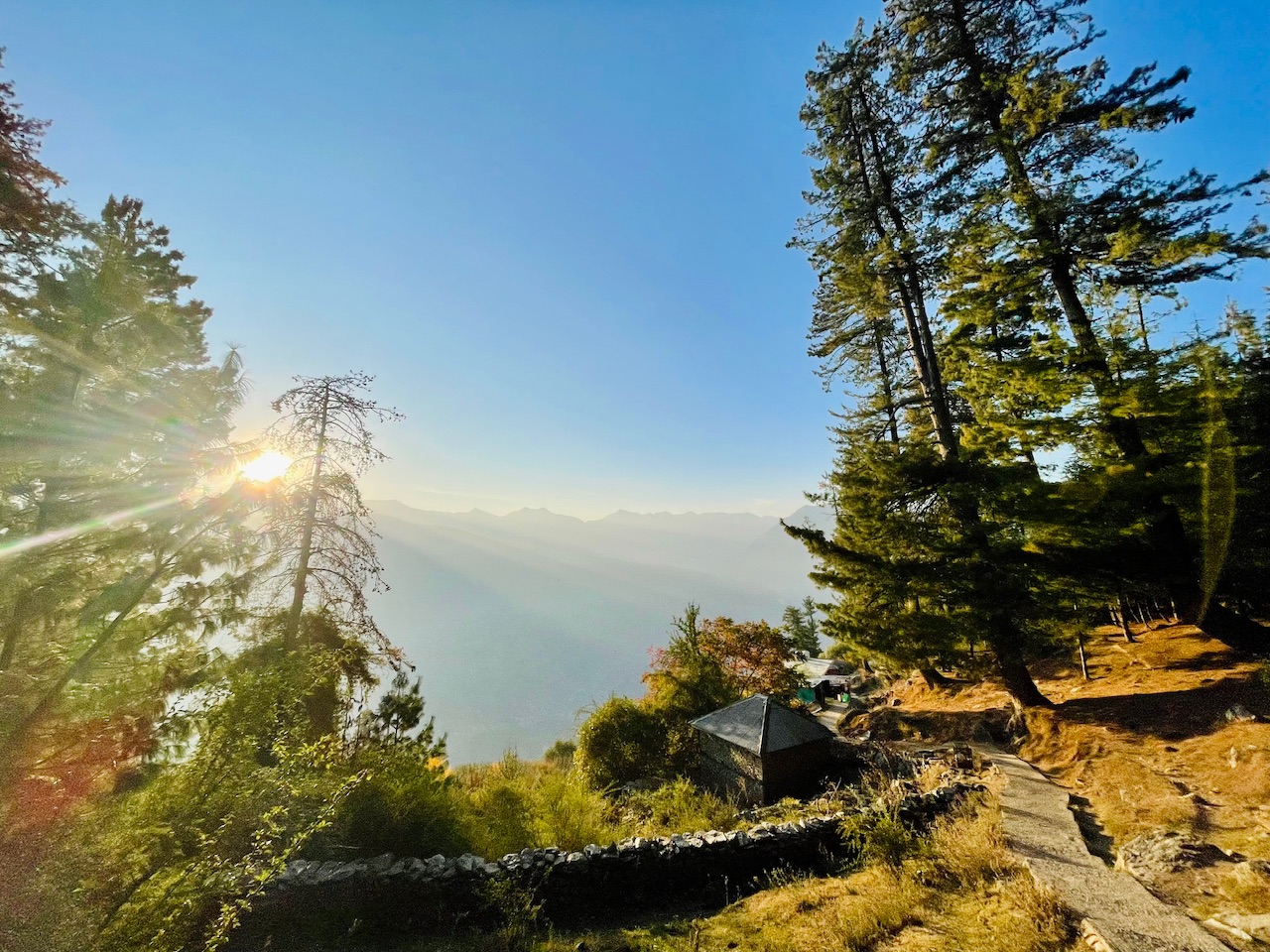
It was what we could see beyond. Just a few houses. and not even a single person staying. The houses were quite old enough nearly more than 5 decades. And the villages due to the extreme harsh climatic conditions would had maybe shifted closer to the town.
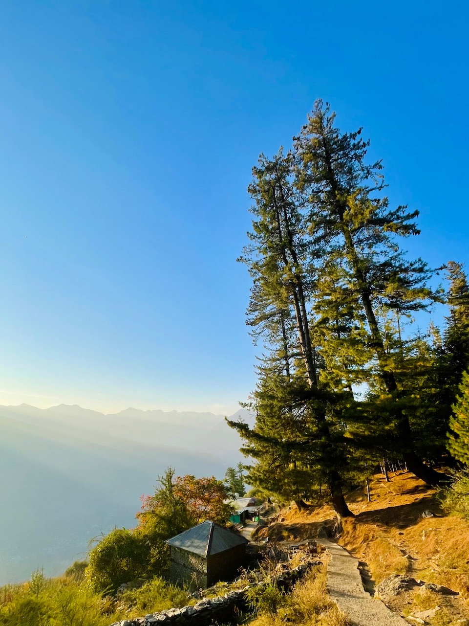
This place was truly a gem. It felt like that the Peace was flowing in the wind. Every breadth that I took felt like a breadth of life. The true meaning of life being so closer to the nature.
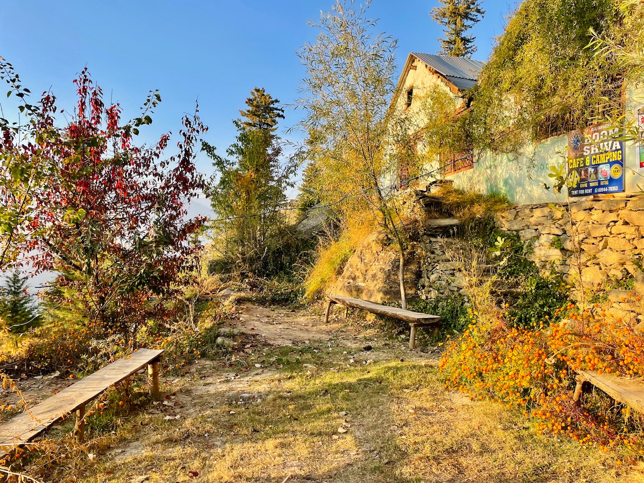
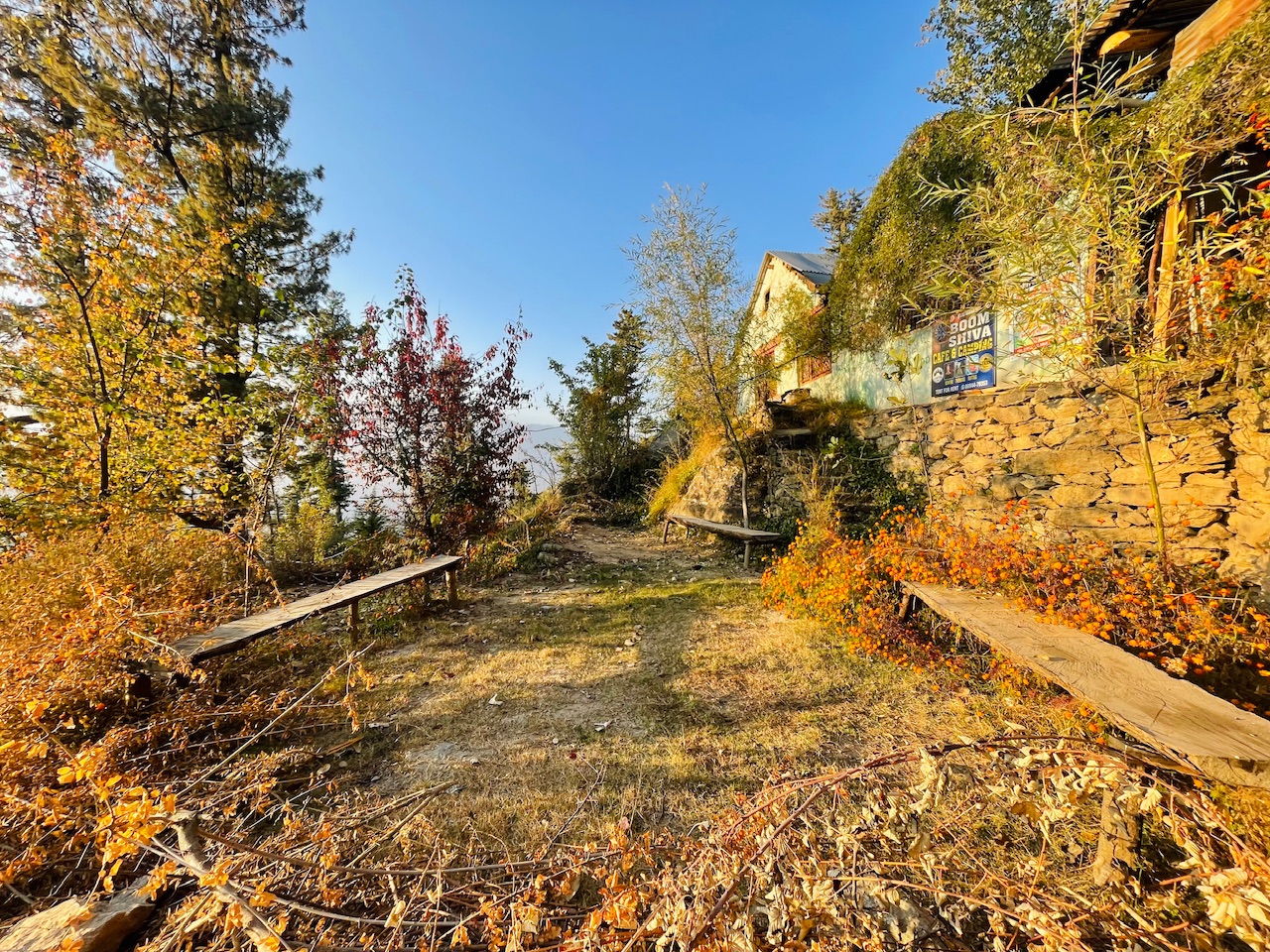
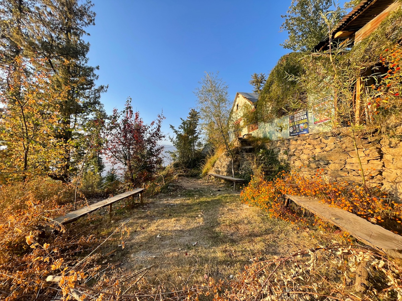
Magical Evenings.
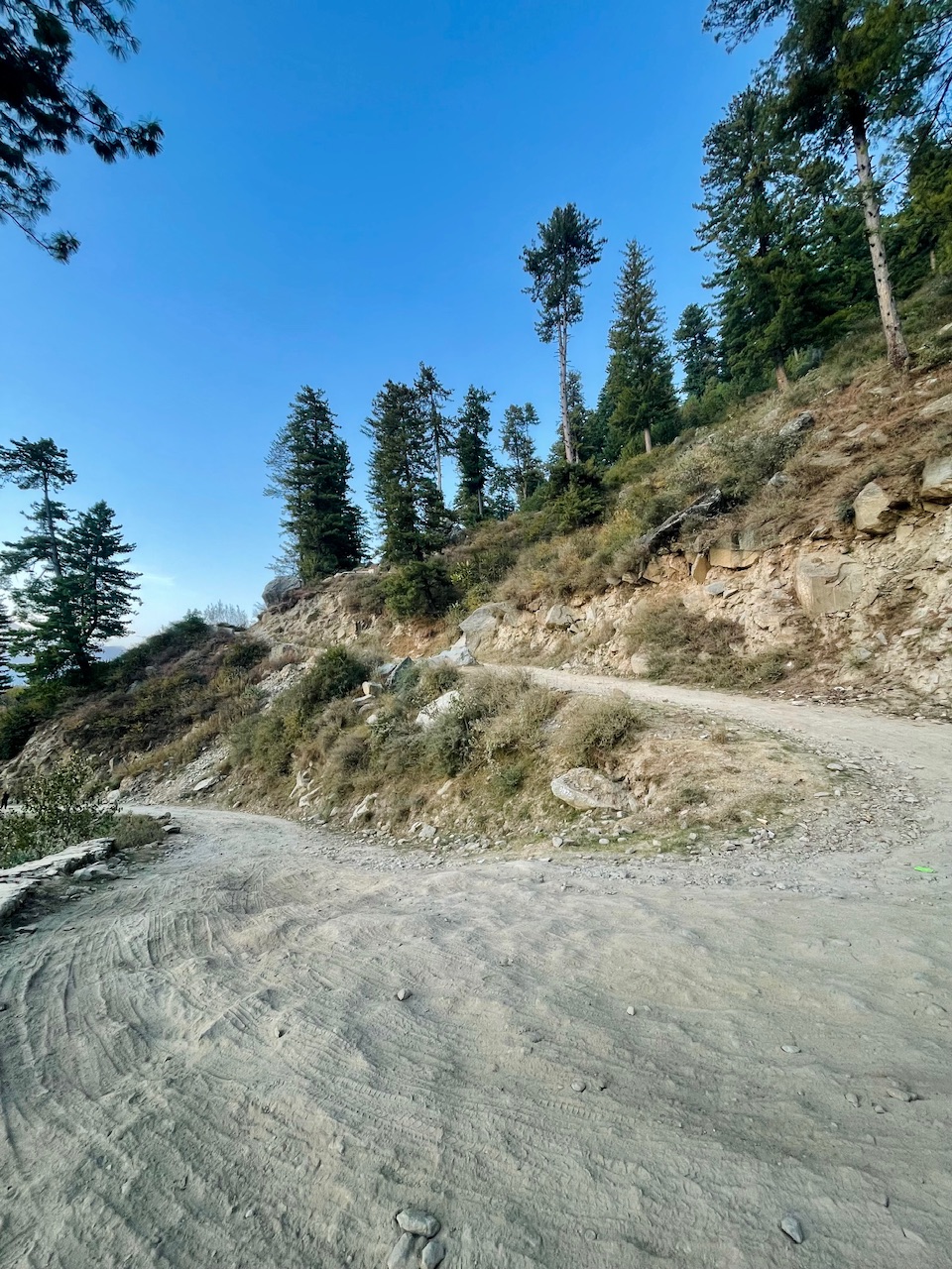
Calling it the magical evening as sending the whole day out there in woods and now it was the time to go back as even the temperature dipped like insane.
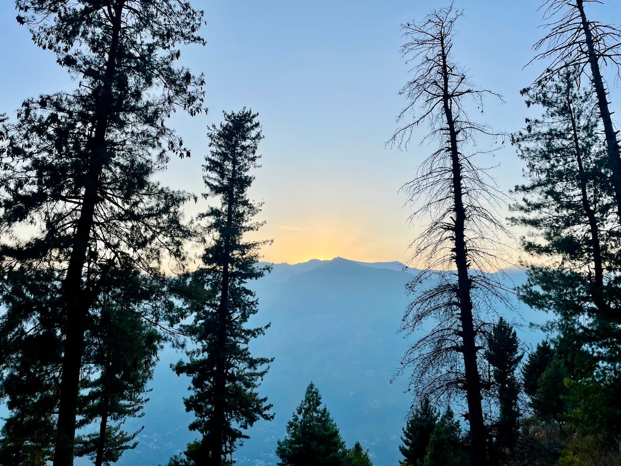
The sunset just right behind the mountain as at the time of nearly 4PM was something that made me wonder about the time here in the mountains and just in a few hours and minuted the darkness would turn the lights off.
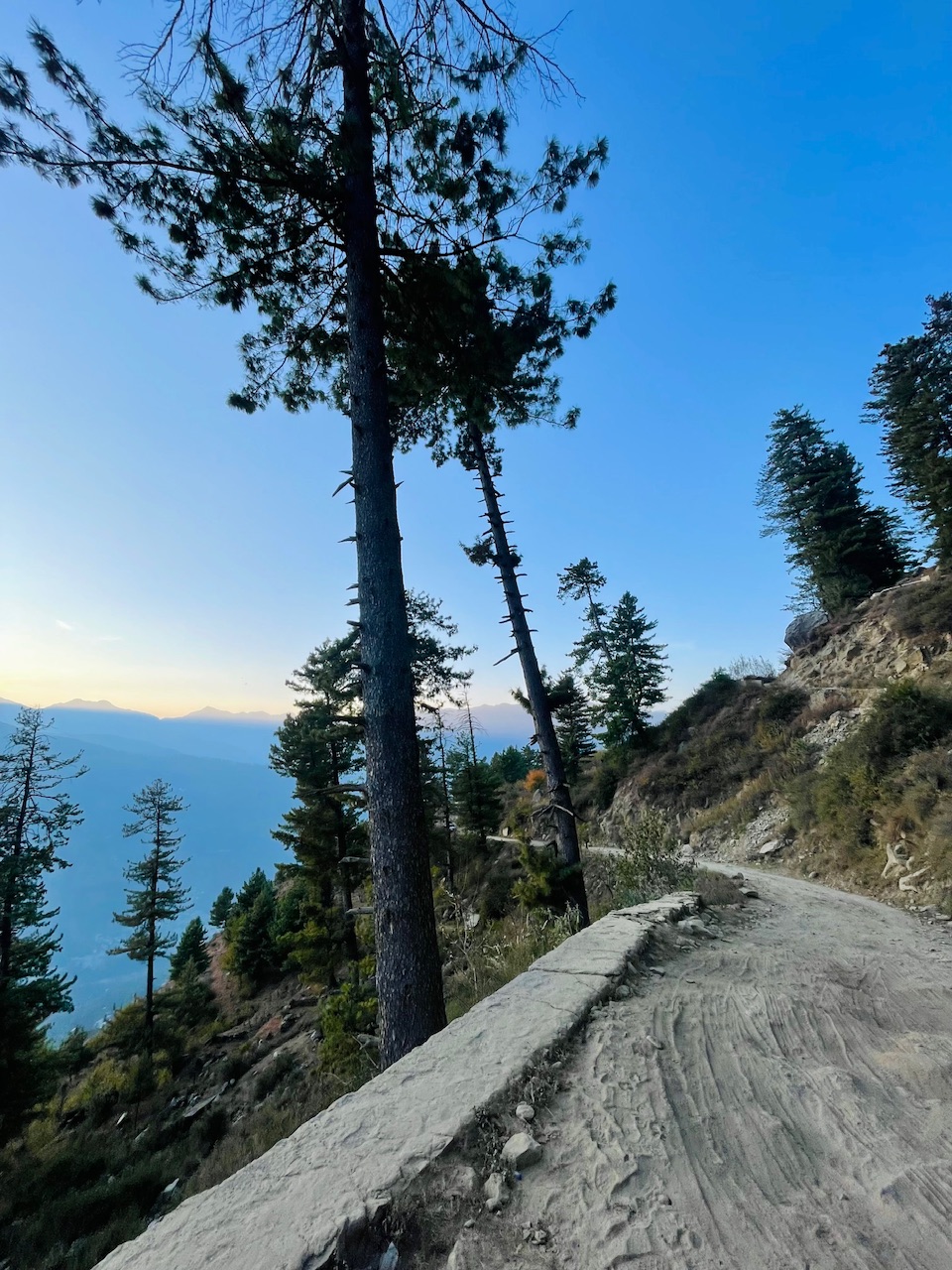
So thats all for today guys, I hope you liked it.
Thanks for your precious time.🙏
Love from the Himalayas. ❤️

You can check out this post and your own profile on the map. Be part of the Worldmappin Community and join our Discord Channel to get in touch with other travelers, ask questions or just be updated on our latest features.
Congratulations, your post has been added to the TravelFeed Map! 🎉🥳🌴
Did you know you have your own profile map?
And every post has their own map too!
Want to have your post on the map too?
- Go to TravelFeed Map
- Click the create pin button
- Drag the marker to where your post should be. Zoom in if needed or use the search bar (top right).
- Copy and paste the generated code in your post (any Hive frontend)
- Or login with Hive Keychain or Hivesigner and click "create post" to post to Hive directly from TravelFeed
- Congrats, your post is now on the map!
PS: You can import your previous Pinmapple posts to the TravelFeed map.Opt Out
Hiya, @lauramica here, just swinging by to let you know that this post made it into our Honorable Mentions in Travel Digest #2372.
Your post has been manually curated by the @worldmappin team. If you like what we're doing, please drop by to check out all the rest of today's great posts and consider supporting other authors like yourself and us so we can keep the project going!
Become part of our travel community:
Hello! Thank you very much for posting in the Worldmappin Community 😃.
We noticed that you included more than one PIN code in the post. This is not necessary and can lead to double pinning. If you are writing about a trip with different points of interest, it is advisable to indicate only one PIN of the most important place or central location.
Double pinning can lead to problems for our curation, so if you keep doing it we can not guarantee you to be considered for our daily Travel Digest.
We recommend that you obtain the code either from https://worldmappin.com/, or by selecting the location directly on the small map at the bottom of the text editor in the PeakD interface.
If you have any questions, please do not hesitate to contact our team on our Discord channel.
Cheers!
Congratulations @pranavinaction! You received a sweet smile from TravelFeed. We love your work so keep up the good job. 😊
Thanks for using TravelFeed!
@for91days (TravelFeed team)
PS: Did you know that we have our own Hive frontend at TravelFeed.com? For your next travel post, log in to TravelFeed with Hive Keychain or Hivesigner and take advantage of our exclusive features for travel bloggers.
You are very good at taking detailed photos to show the world how beautiful the place is.
Thanks a lot 🙏 So glad that you liked the post. Means a lot :)