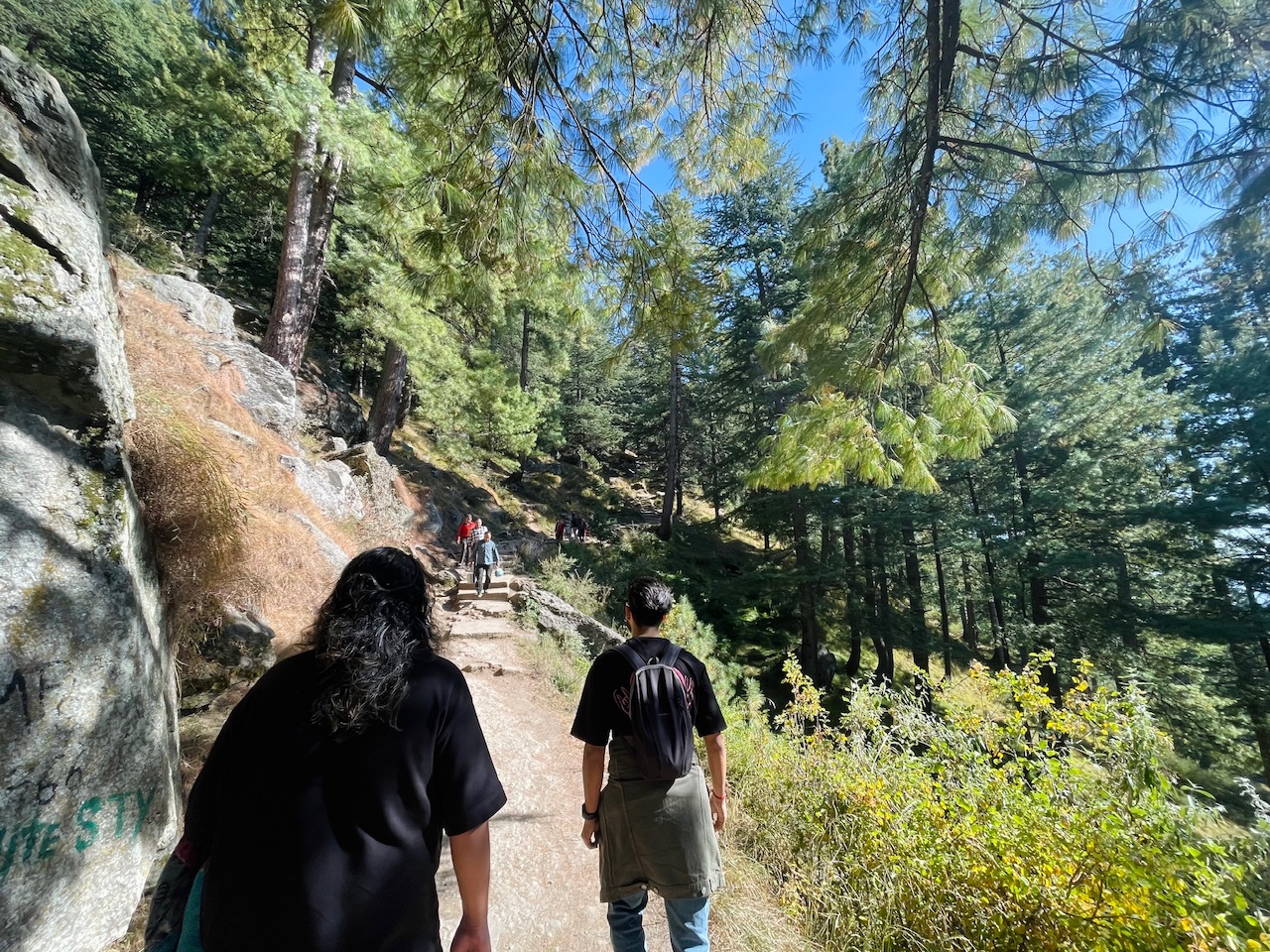
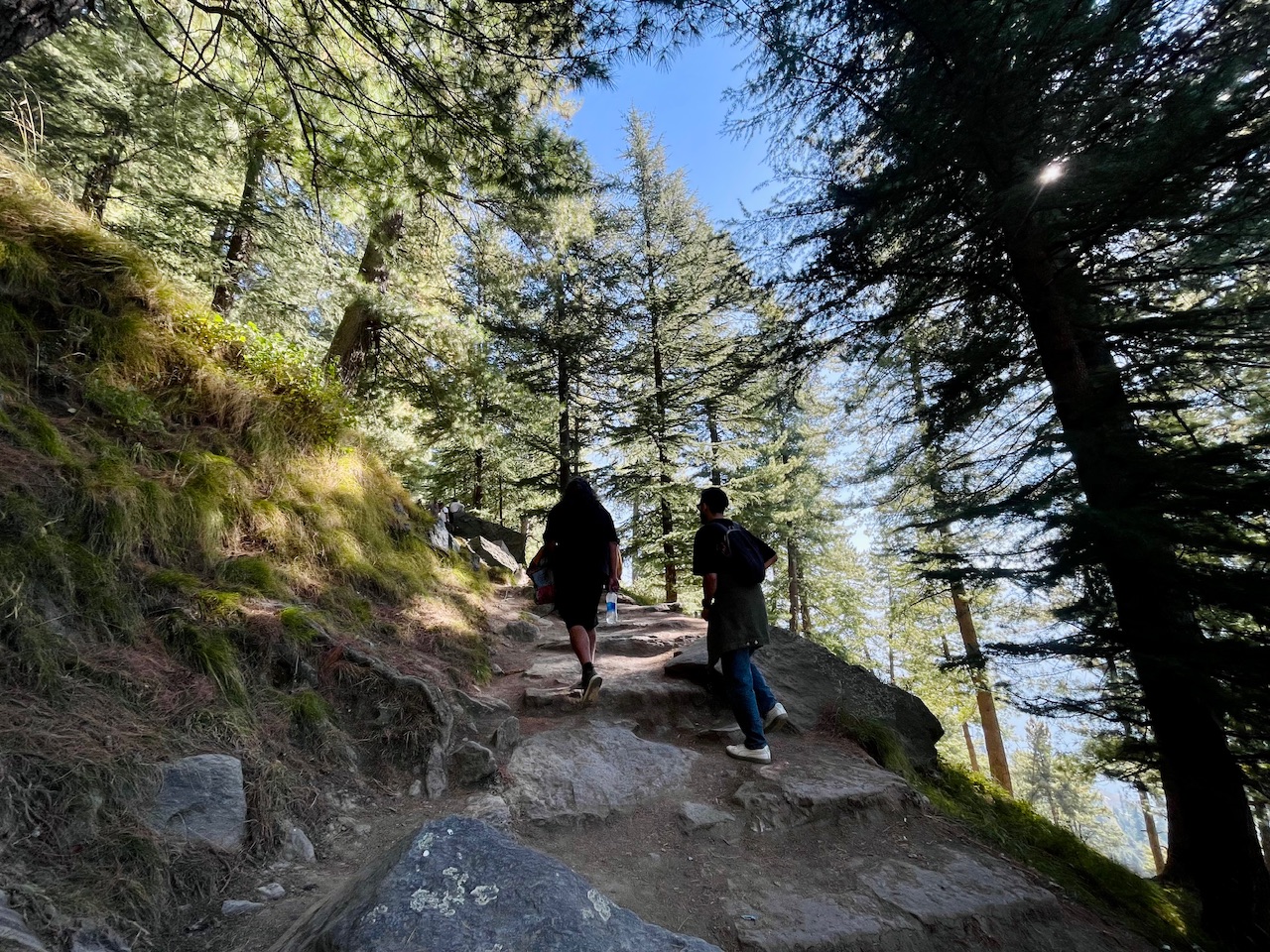
Here we begin, After ending the pre ious post. It was around 2PM in the afternoon when we were at this place on the trail. That led to the top of Bijli Mahadev Mountain possible with the construction of the new road that just saved a whole days hike and led the way till the halfway point.
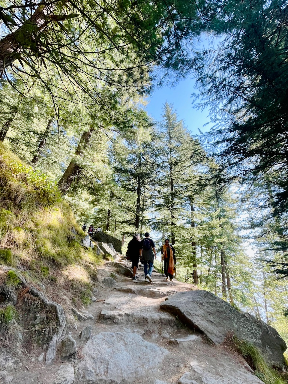
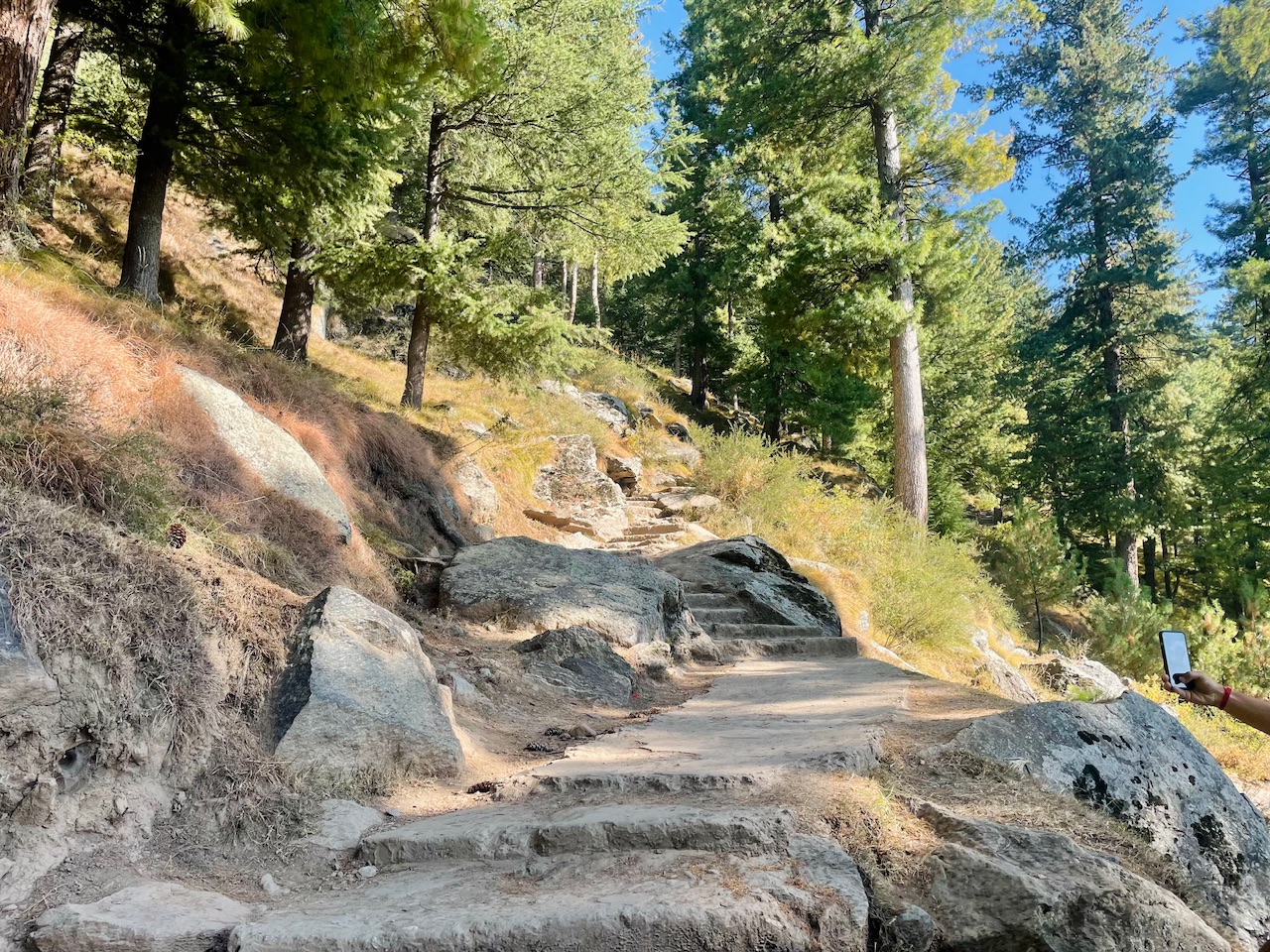
It was still the 30% of the way point and it would require a lot of hike still to reach the top form where the view would be just insane and dreamy. The trail was nearly hundreds year old and still the way point seemed like a stairway to the heaven. Even the rocks had a sort of structure of that to the stairs.
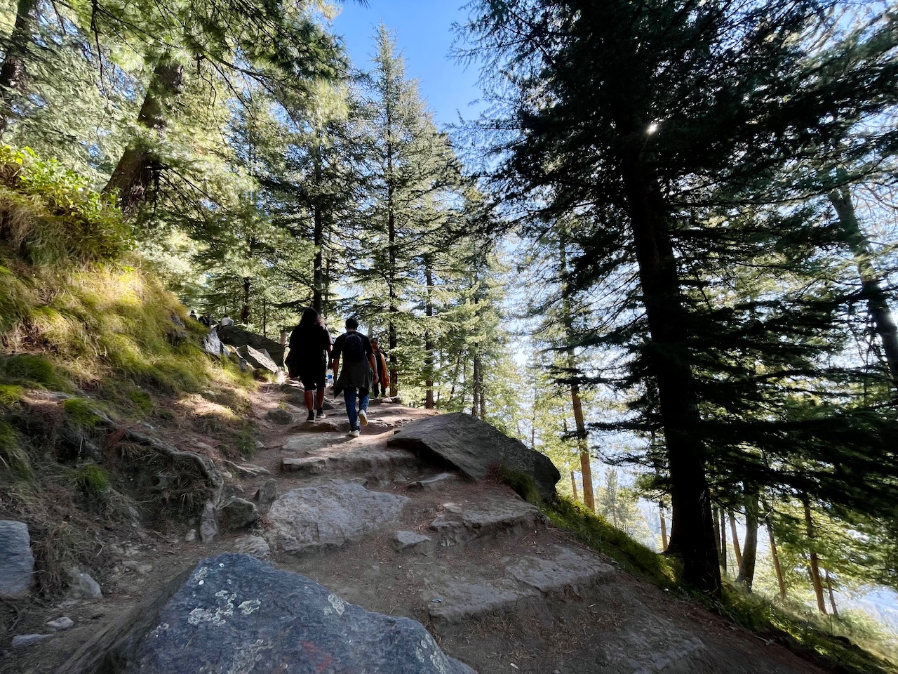
Though at certain point the trail was formed up of the concrete and cement in order to maintain a trail pathway that even would be accessible during the winter season when the whole place would be covered under a thick blanket of snow.
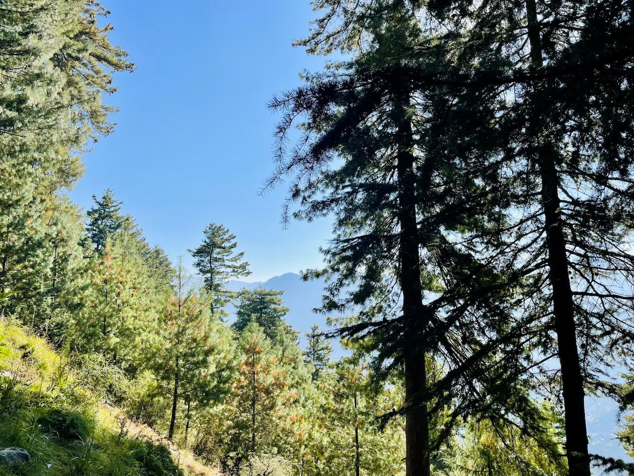
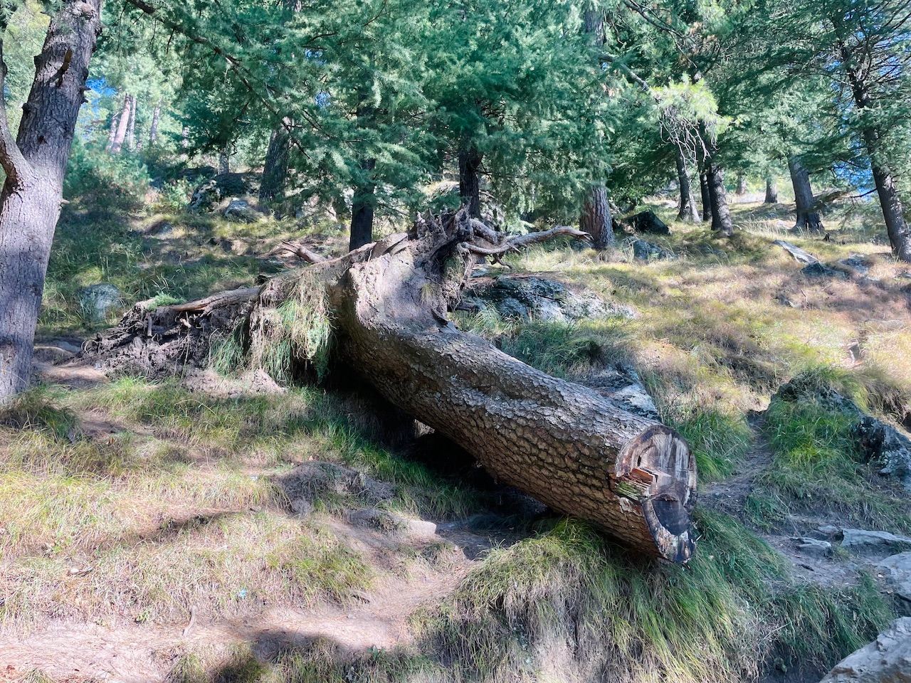
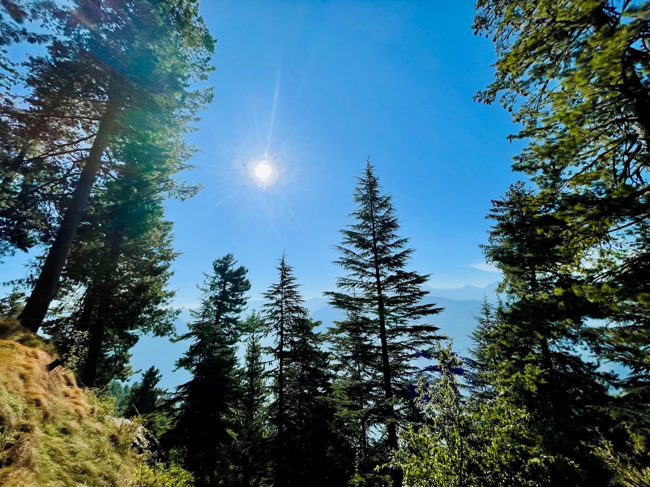
The trail was really very peaceful guys and we were really enjoying our time. Walking through the peaceful Deo Dar trees which too were hundreds of years old.
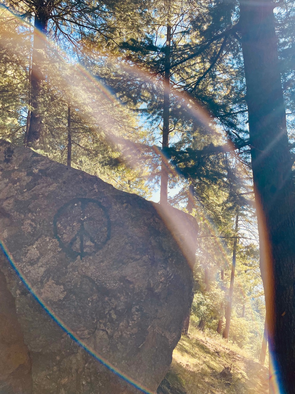
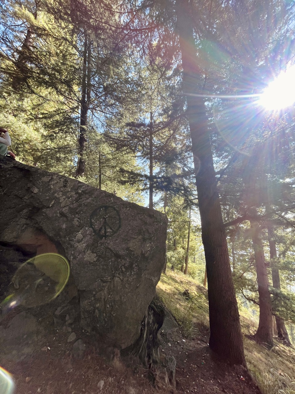
Tha Halfway.
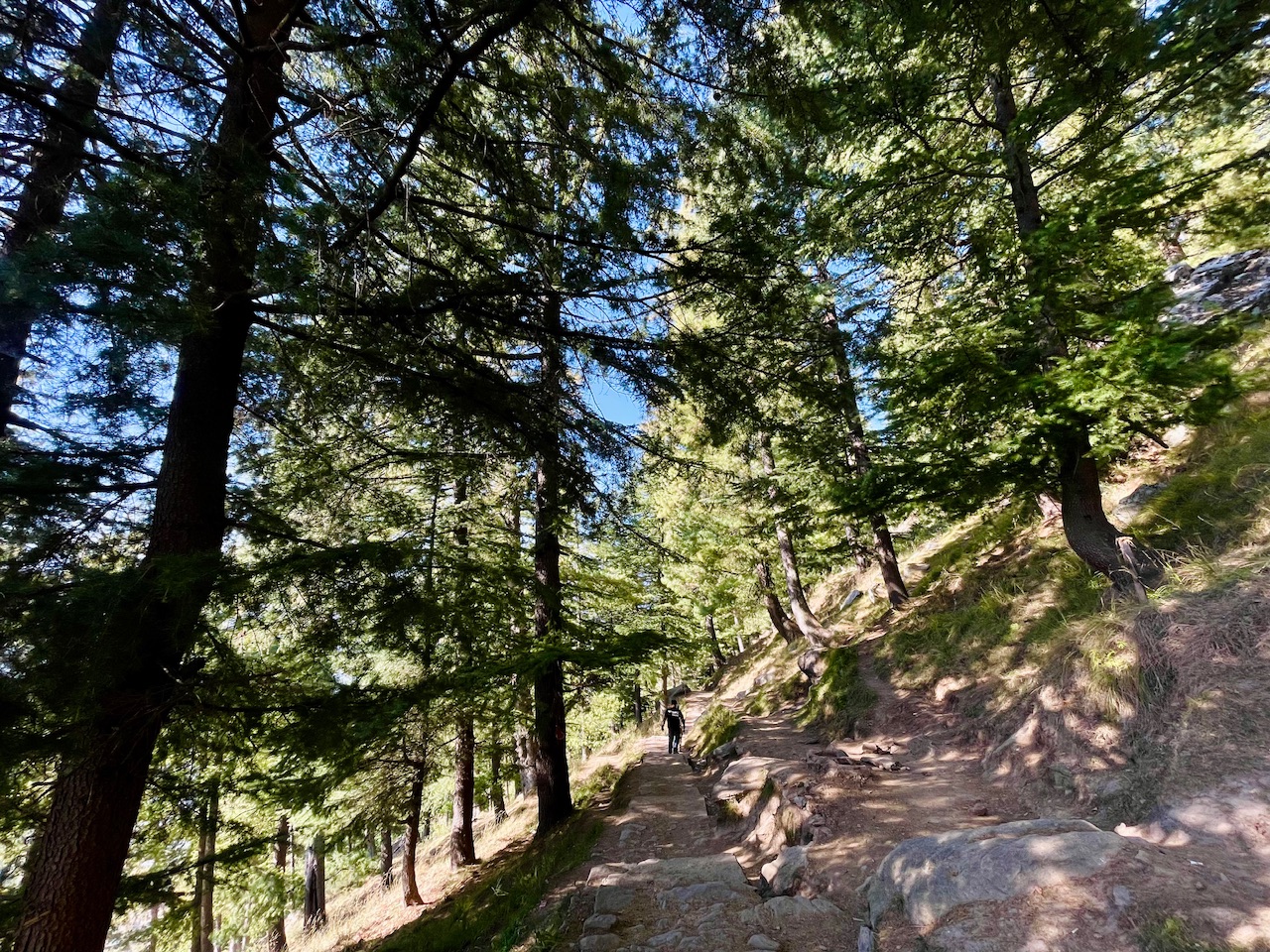
I got to know that an traveller from foreign country painted the peace sign on the rock and it even depicted the half way point to the top. Still the hike was a lot but we were really enjoying the moment guys. I tried to capture each and every single moment sop that even you guys could get the true picture of the same and experience the hidden unseen side of the Himalayas.
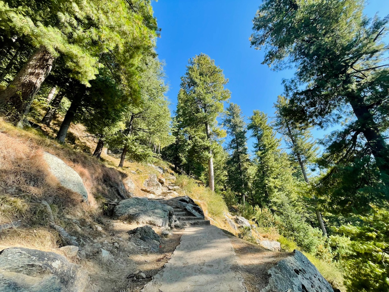
It was a hike just a few days before the first fall as the colours were turning yellow and had a cool winter vibe onto it.
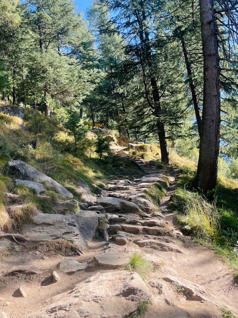
In just a few days the whole place would get covered under a thick blanket of snow and everything would be as white as a cloud.
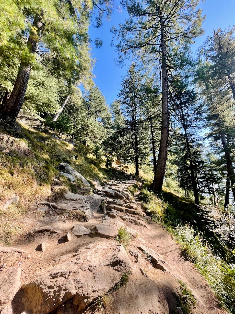
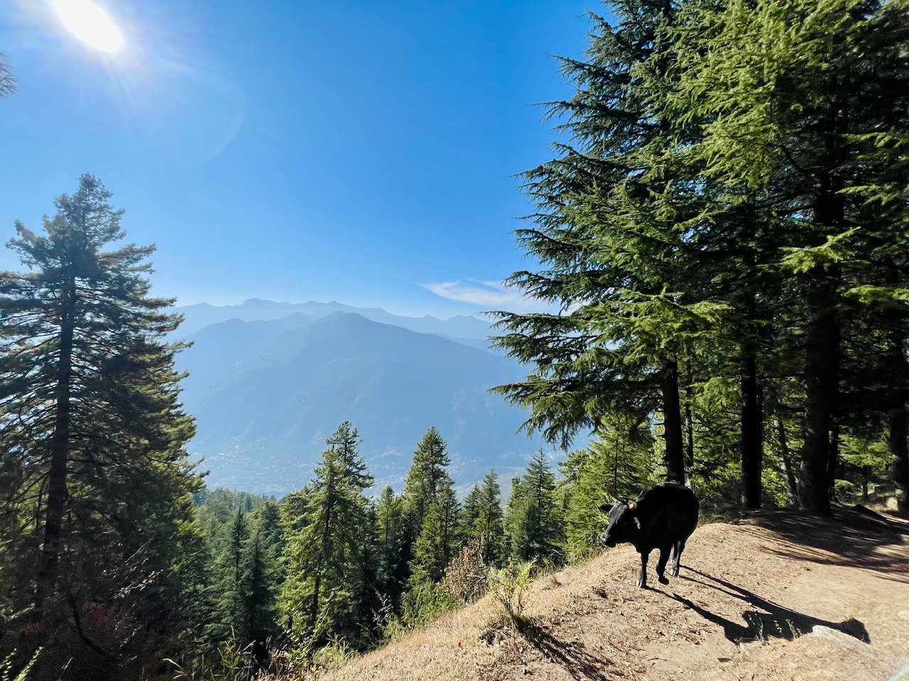
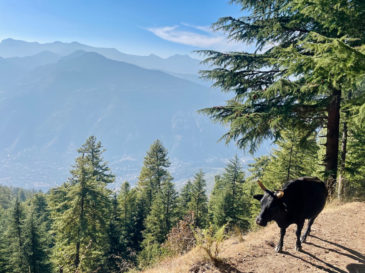
At this point the view was kinda clear. The Mountain peaks of Dhauladhar Range were seen clear. We even came across a Himalayan Bison as seen in the picture.
So thats all for today guys. I hope you liked it.
Thanks for your precious time. 🙏
Love from the Himalayas. ❤️
You can check out this post and your own profile on the map. Be part of the Worldmappin Community and join our Discord Channel to get in touch with other travelers, ask questions or just be updated on our latest features.
This post has been manually curated by @steemflow from Indiaunited community. Join us on our Discord Server.
Do you know that you can earn a passive income by delegating to @indiaunited. We share more than 100 % of the curation rewards with the delegators in the form of IUC tokens. HP delegators and IUC token holders also get upto 20% additional vote weight.
Here are some handy links for delegations: 100HP, 250HP, 500HP, 1000HP.
100% of the rewards from this comment goes to the curator for their manual curation efforts. Please encourage the curator @steemflow by upvoting this comment and support the community by voting the posts made by @indiaunited.
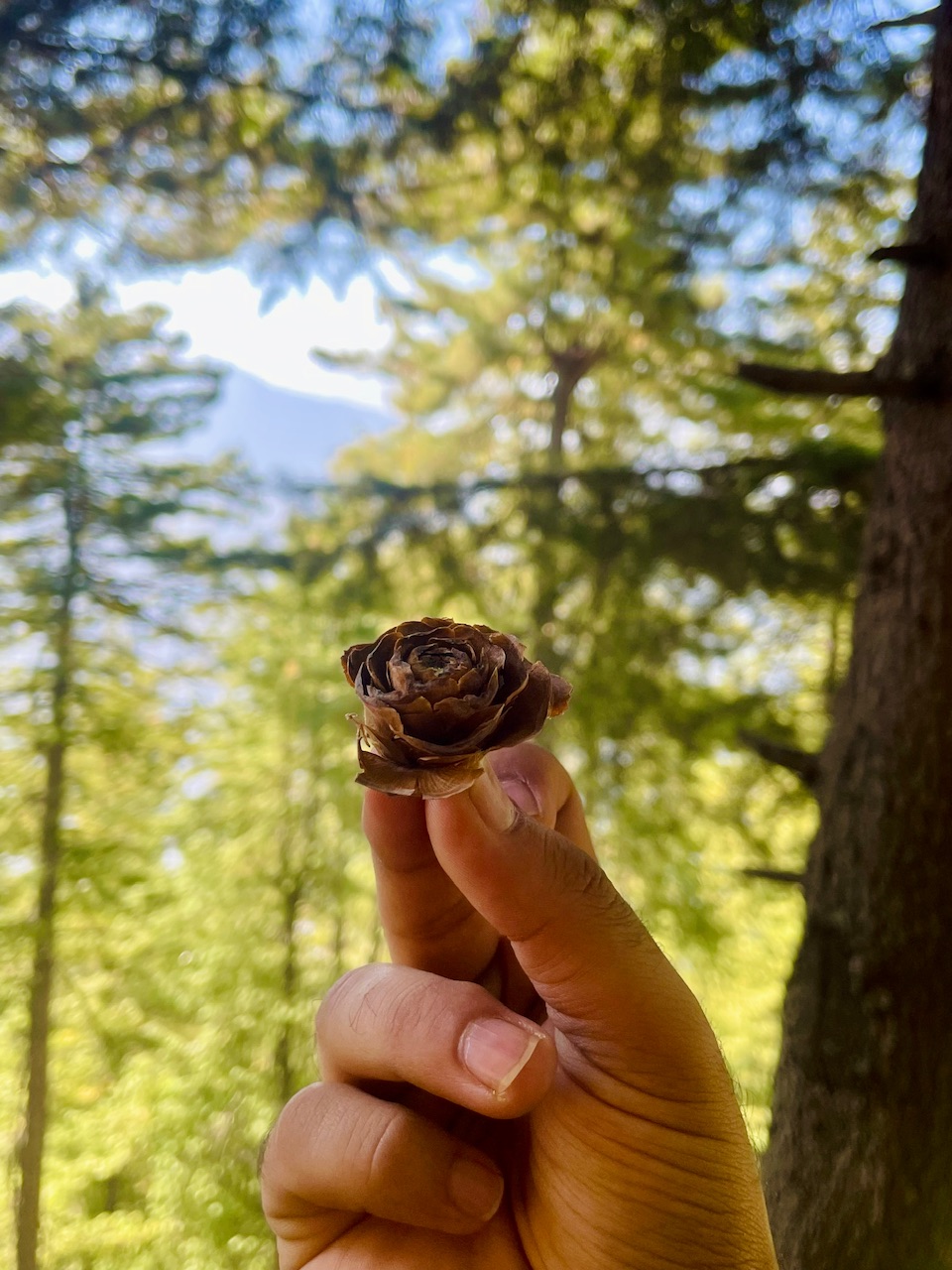
The seeds of the Deo Dar tree look like small blooming roses 😍. An interesting journey as always 🙌. Thanks for sharing 🙏
Hiya, @ybanezkim26 here, just swinging by to let you know that this post made it into our Honorable Mentions in Travel Digest #2388.
Your post has been manually curated by the @worldmappin team. If you like what we're doing, please drop by to check out all the rest of today's great posts and consider supporting other authors like yourself and us so we can keep the project going!
Become part of our travel community: