
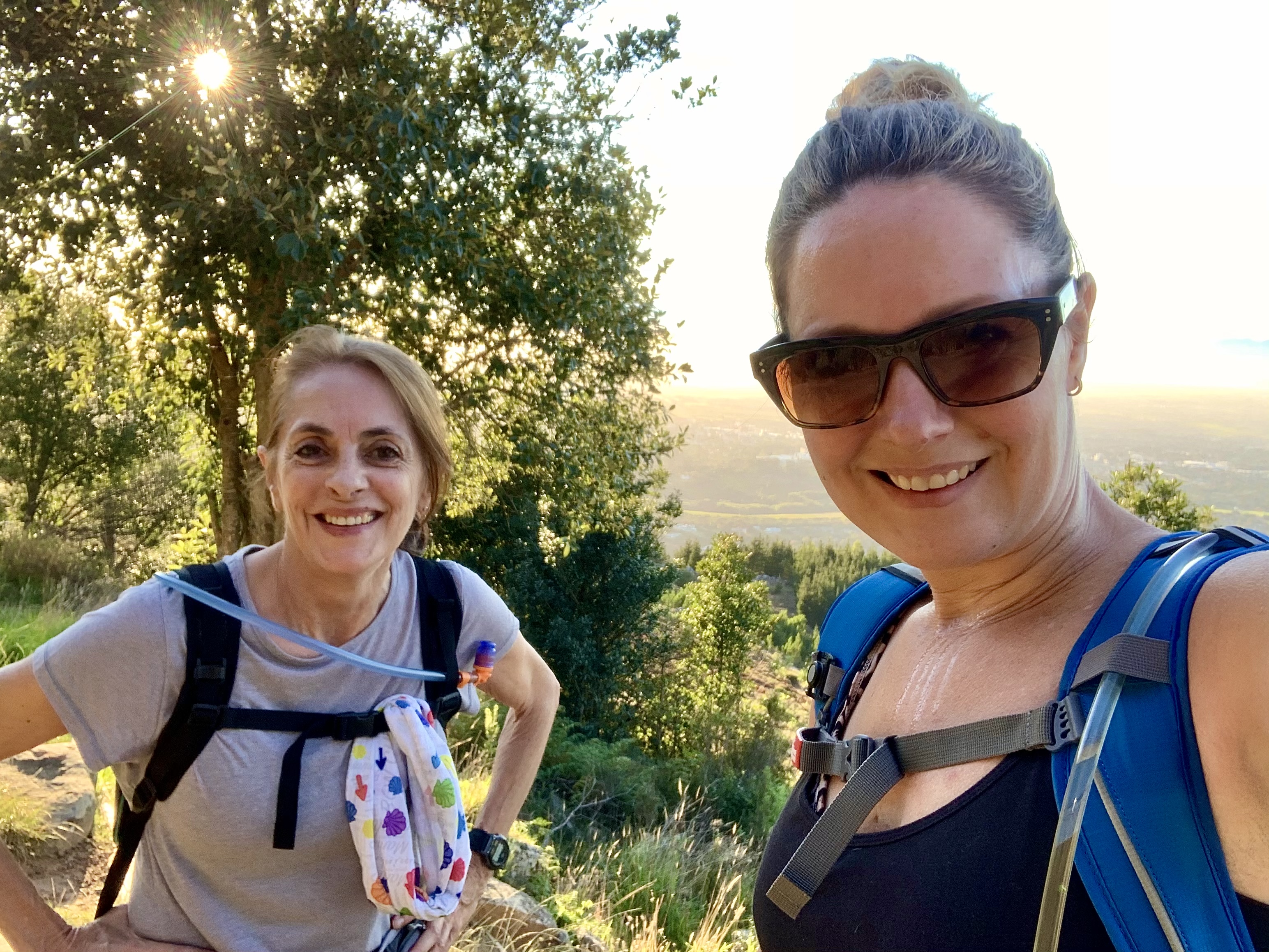
Yesterday my aunt and I took on an epic uphill hike to De Villiers Dam. It’s one of 5 dams found on top of the Table Mountain range that feed the fresh water system in some areas of Cape Town.
Unfortunately it’s a very long uphill slog to the top for 4.5kms along the jeep track and then the opposite all the way back down to the carpark.
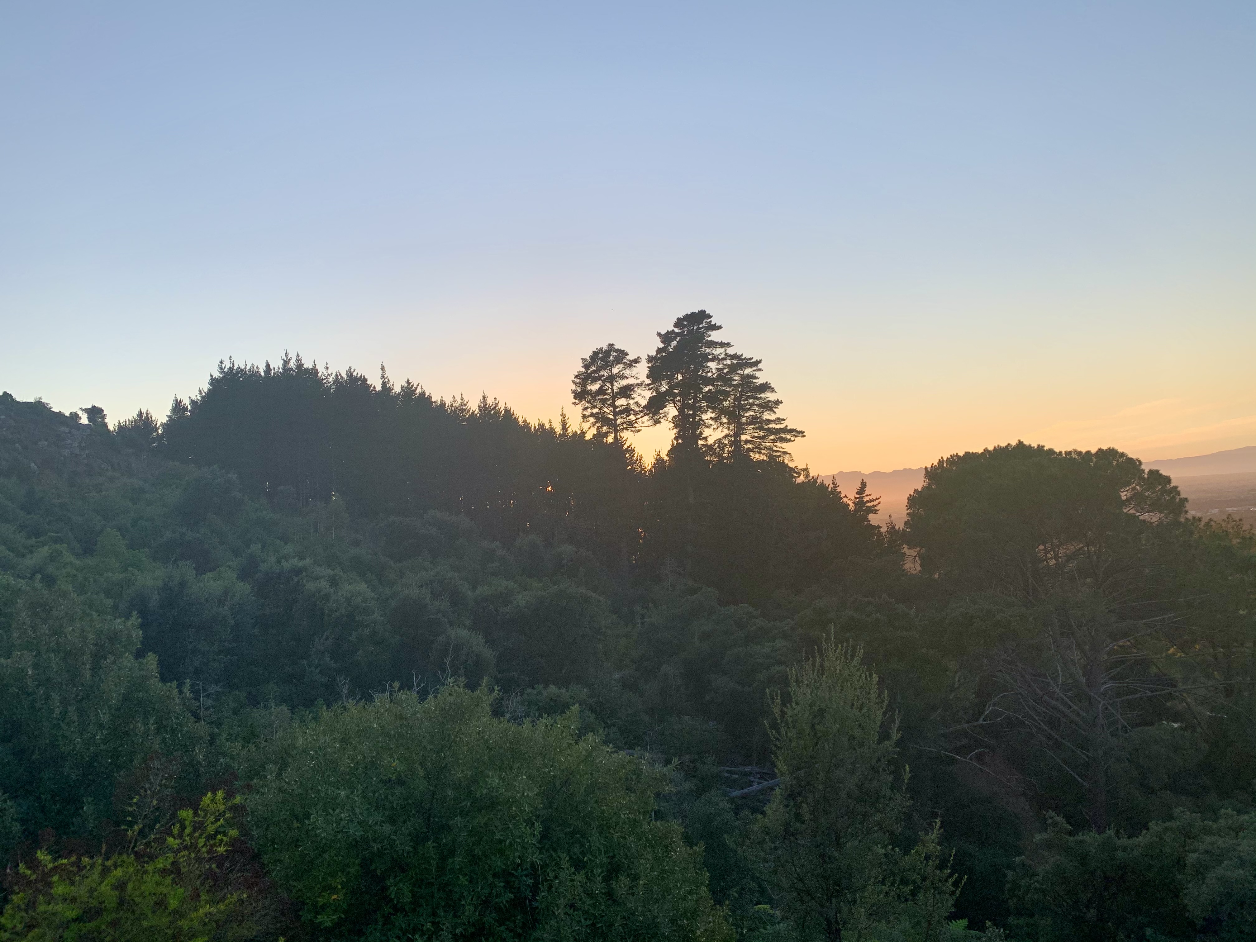

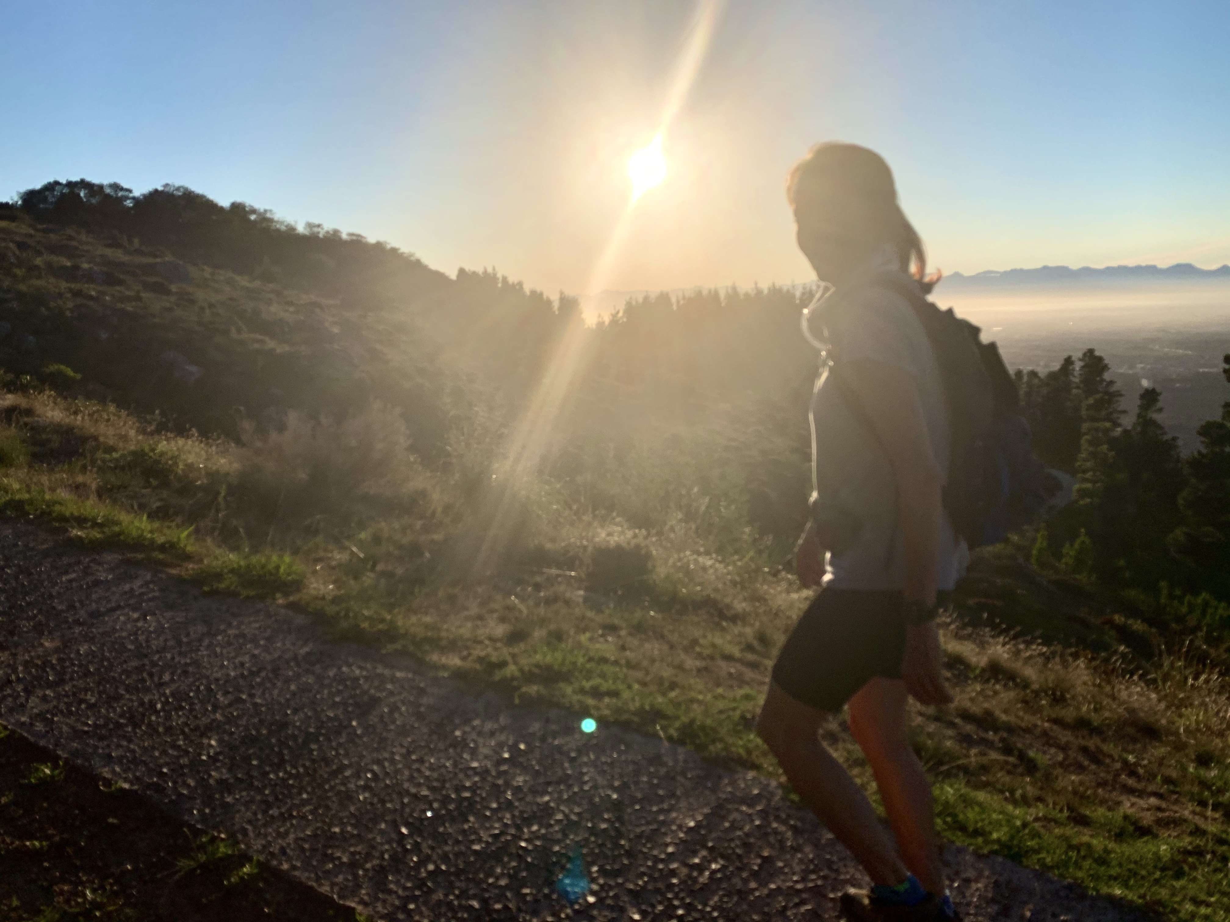
We started a little later than usual at 7am as the mornings are slowly getting darker in the Southern Hemisphere. I was wide awake at 5am and got my cup of tea before getting ready to go. There was no wind and a clear sky. Perfect conditions.
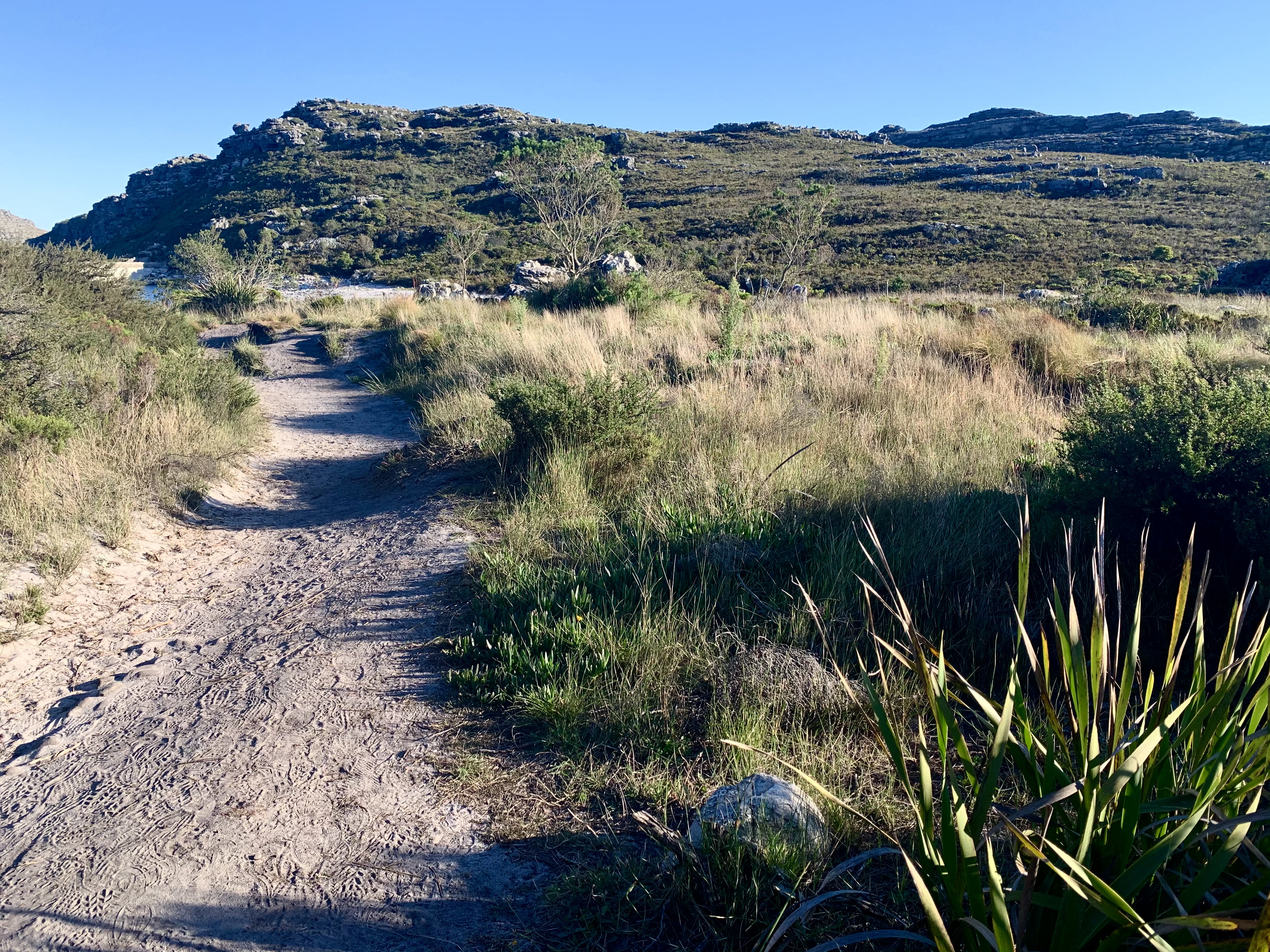
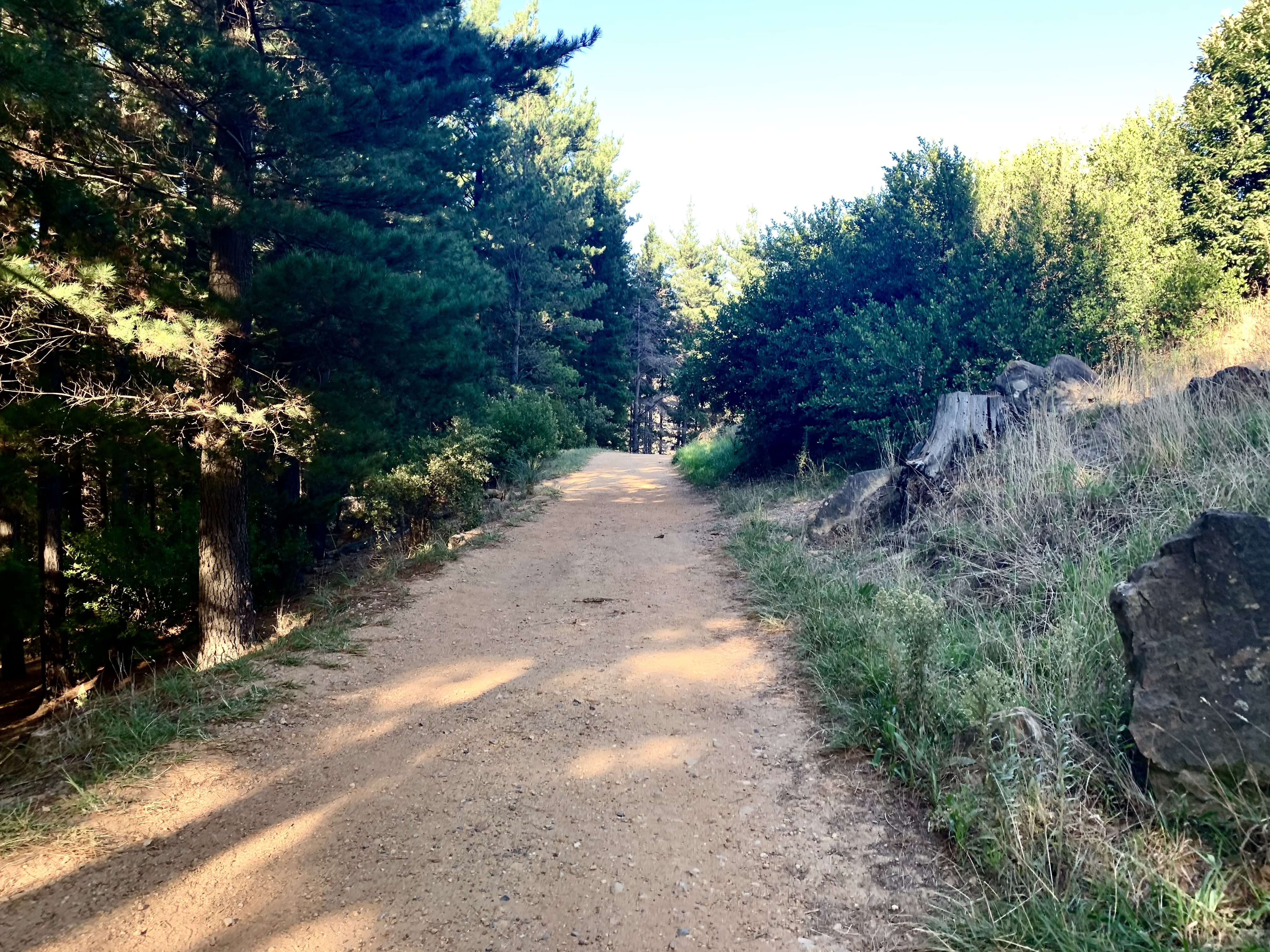
We met in the carpark on Constantia Nek which is always busy most mornings of the week. For the daily trail runners, hikers and mountain bikers this is paradise. You park between the tall trees and then make your way up a steep driveway to the start of the dirt jeep track. This little warm up hill is a killer on its own.
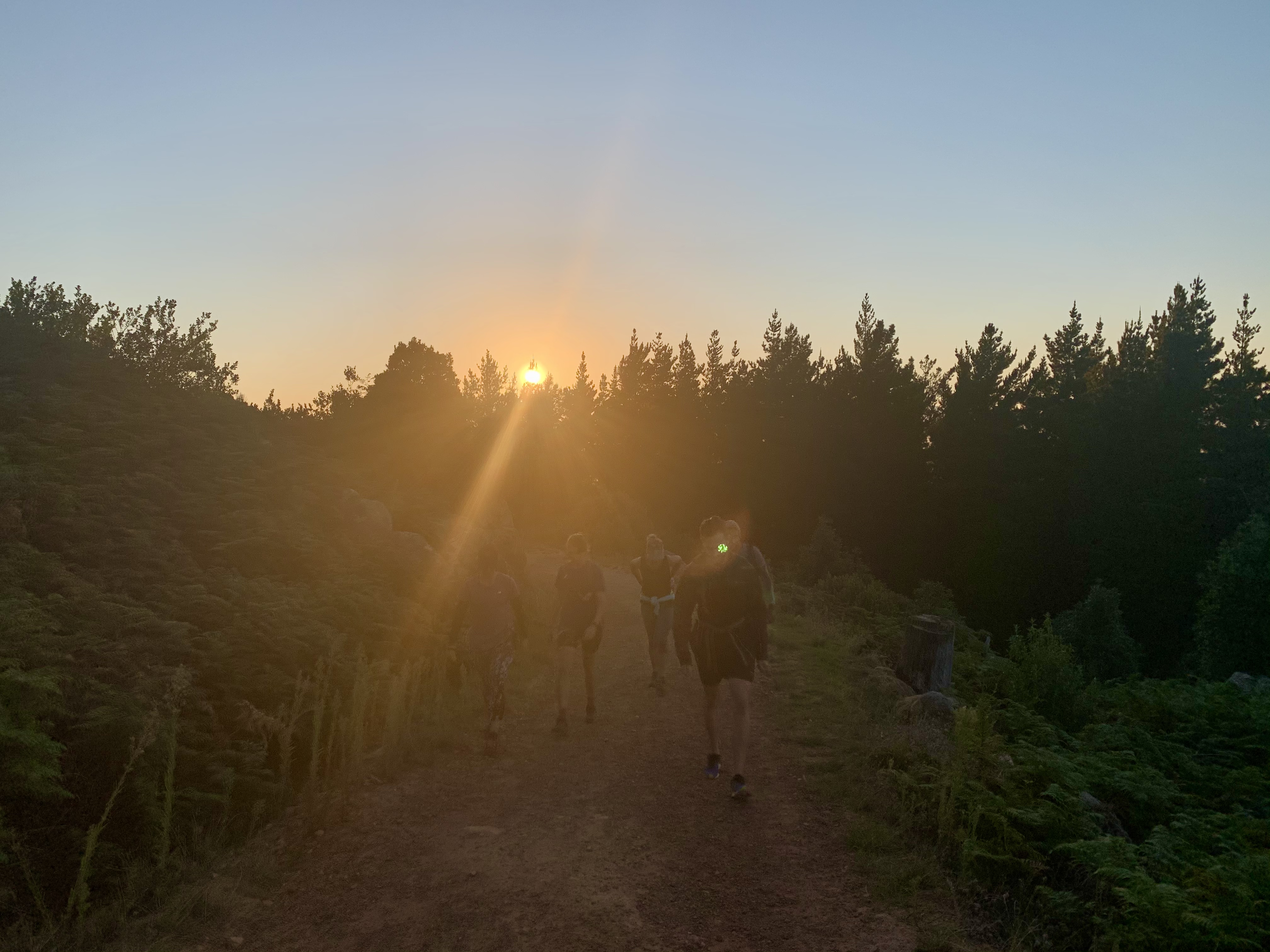

As we start the lower half of the hike the sun starts rising and the light is glorious. The higher up the mountain you get, the more stunning the views get of Cape Towns southern suburbs.
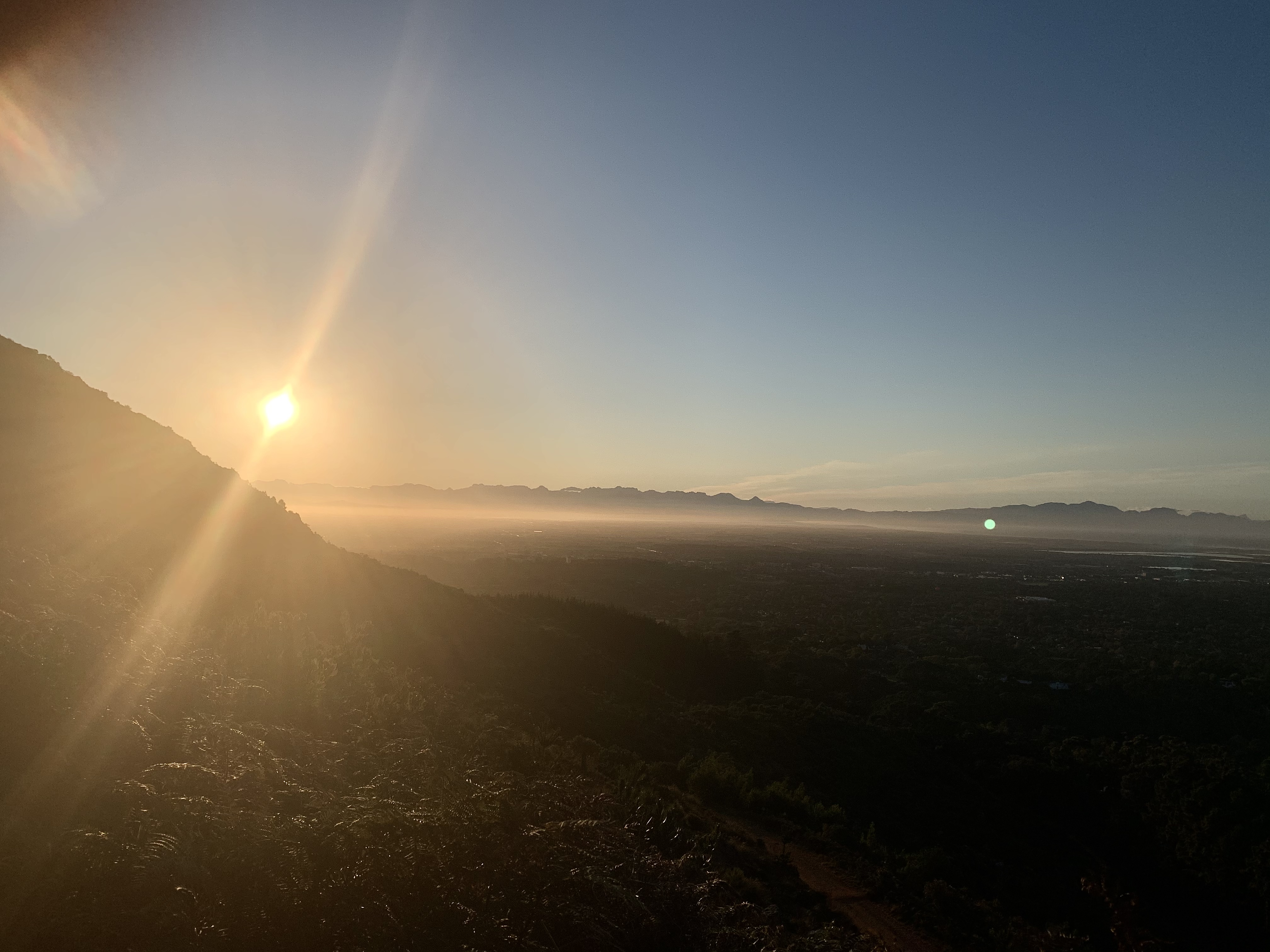
And then if you turn around towards the south and glance through the valleys you get a glimpse of our old hood in Hout Bay valley.
As we walk we talk and pass the time and try to distract ourselves from the pain in our calves from the constant ascent.
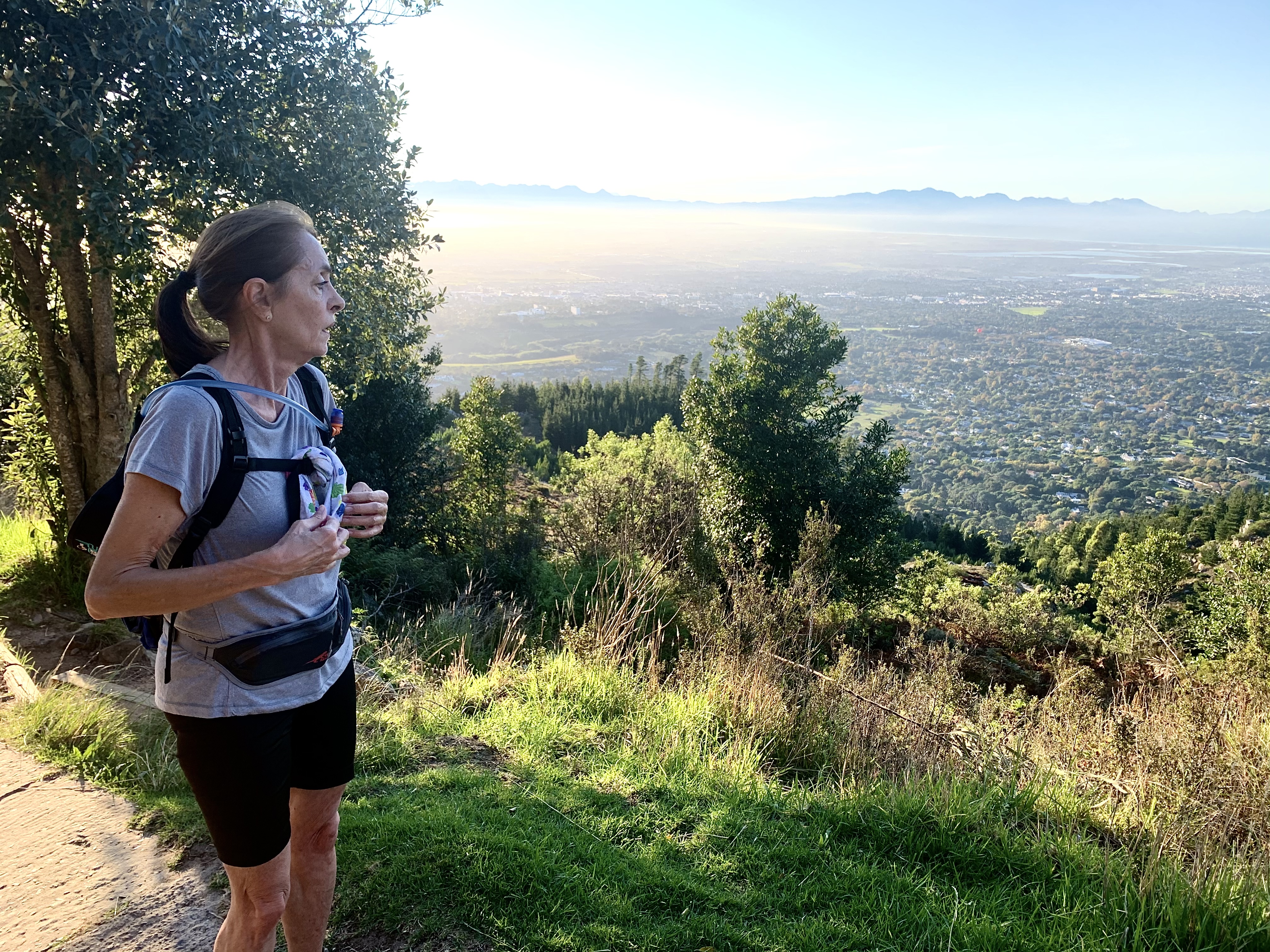
There is very little cover from the sun as it gets higher so when we got to the last tree we stopped for a water break for a couple minutes.
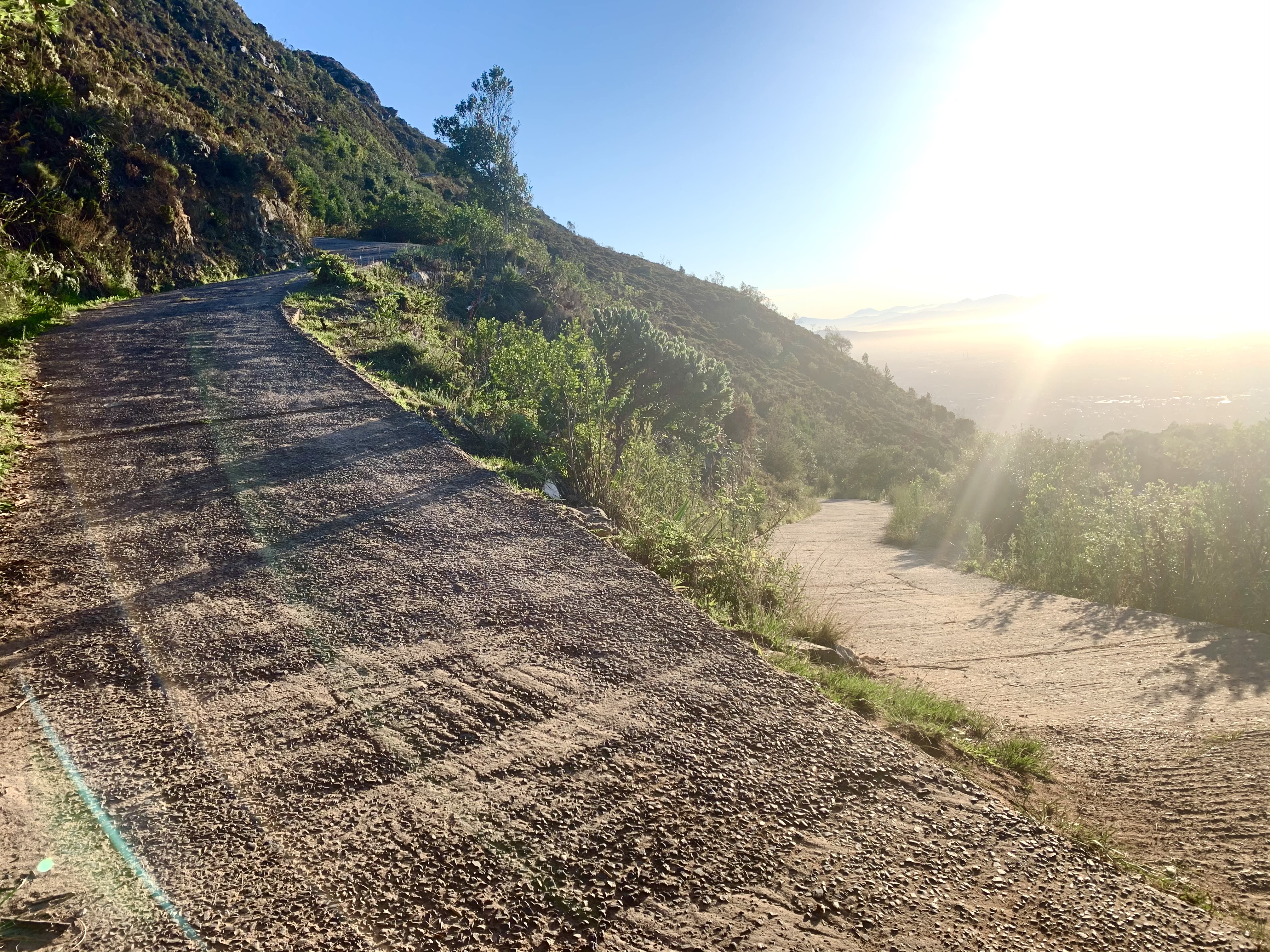

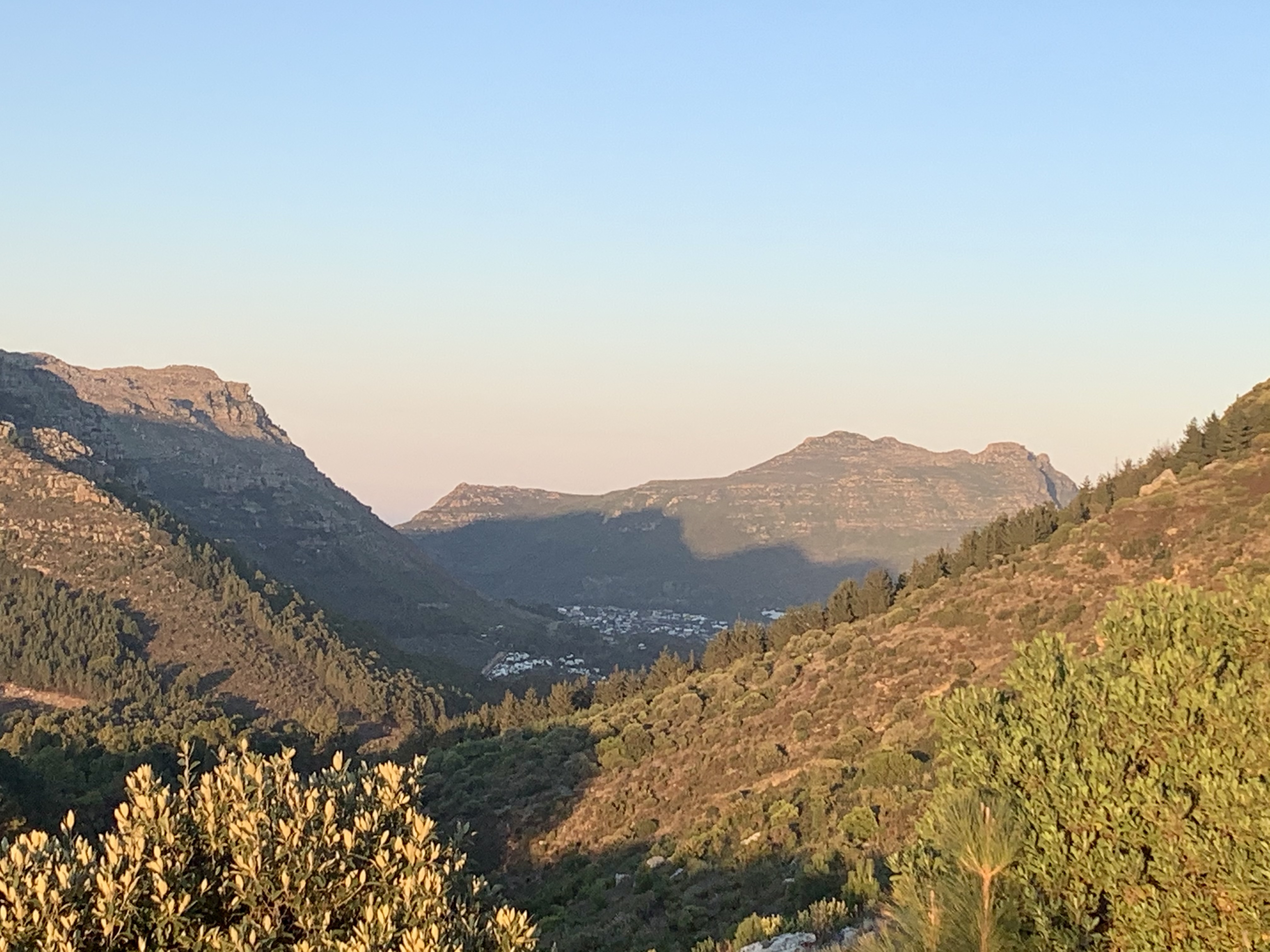
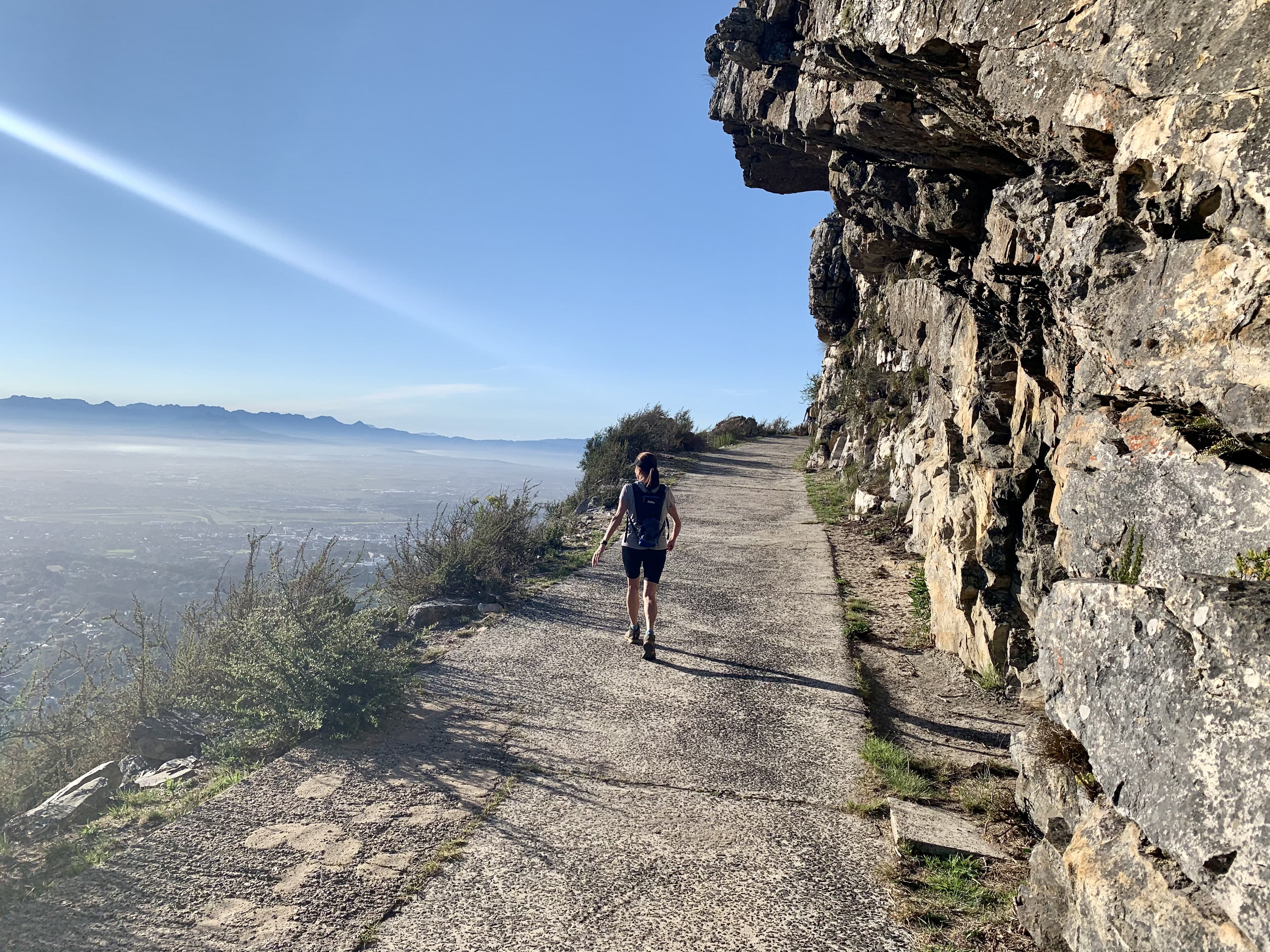
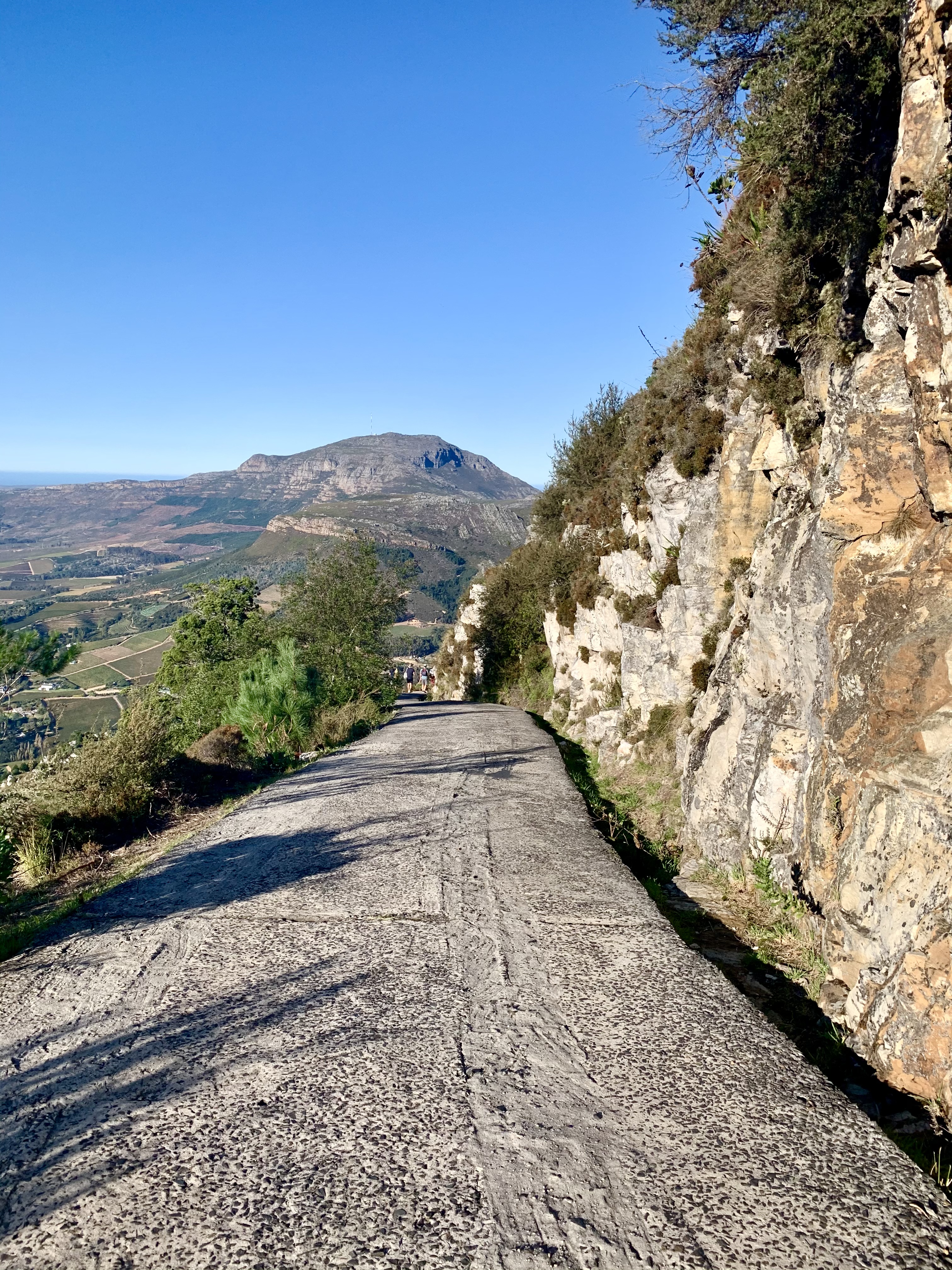
And the next big bend marks the start of our final ascent and the steepest section of the climb. I’m just thankful that we’re on jeep track. There are 2 other single track options which are both constant steps and rocks but I think I valley my knees too much to take that on.
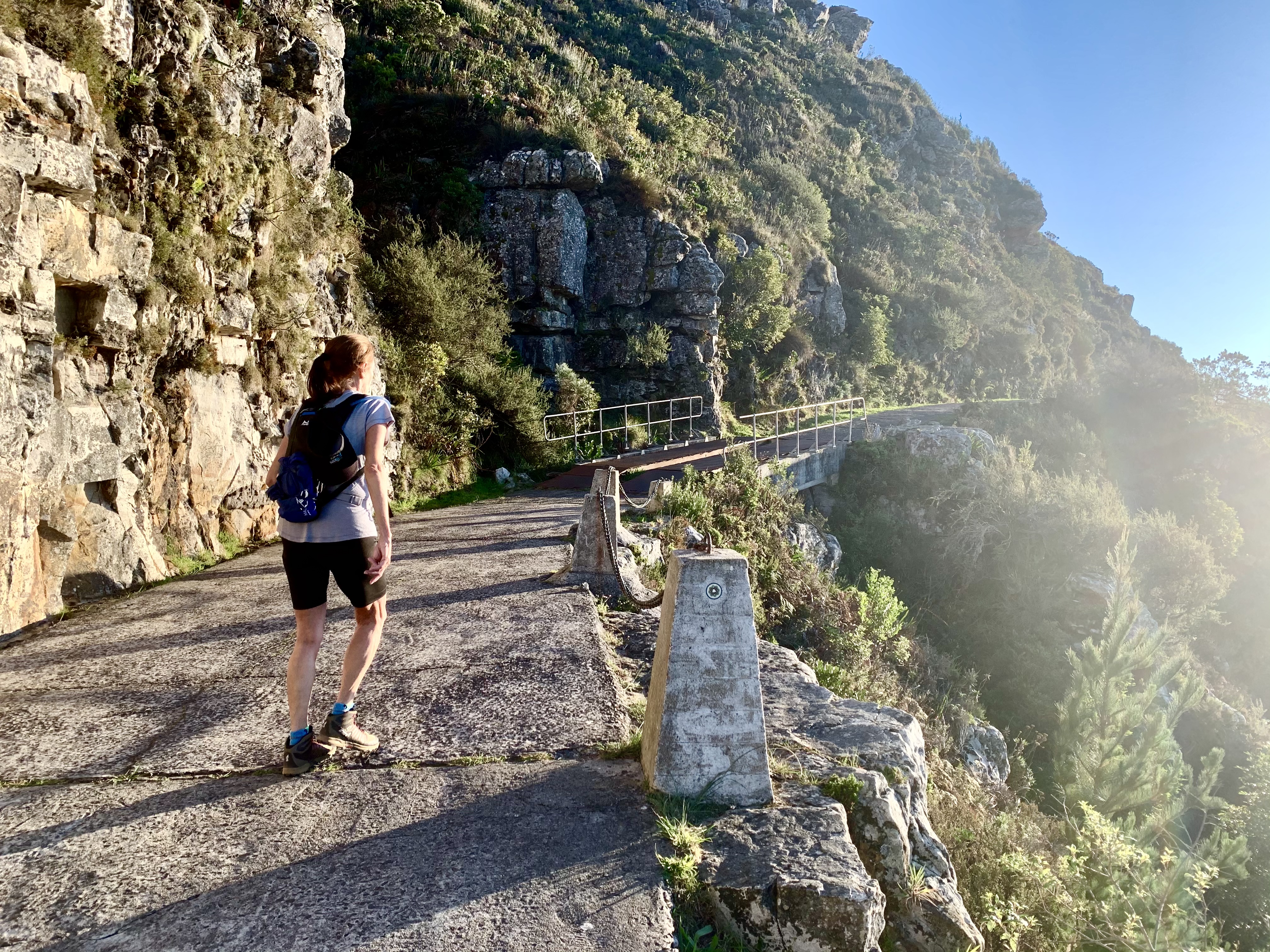
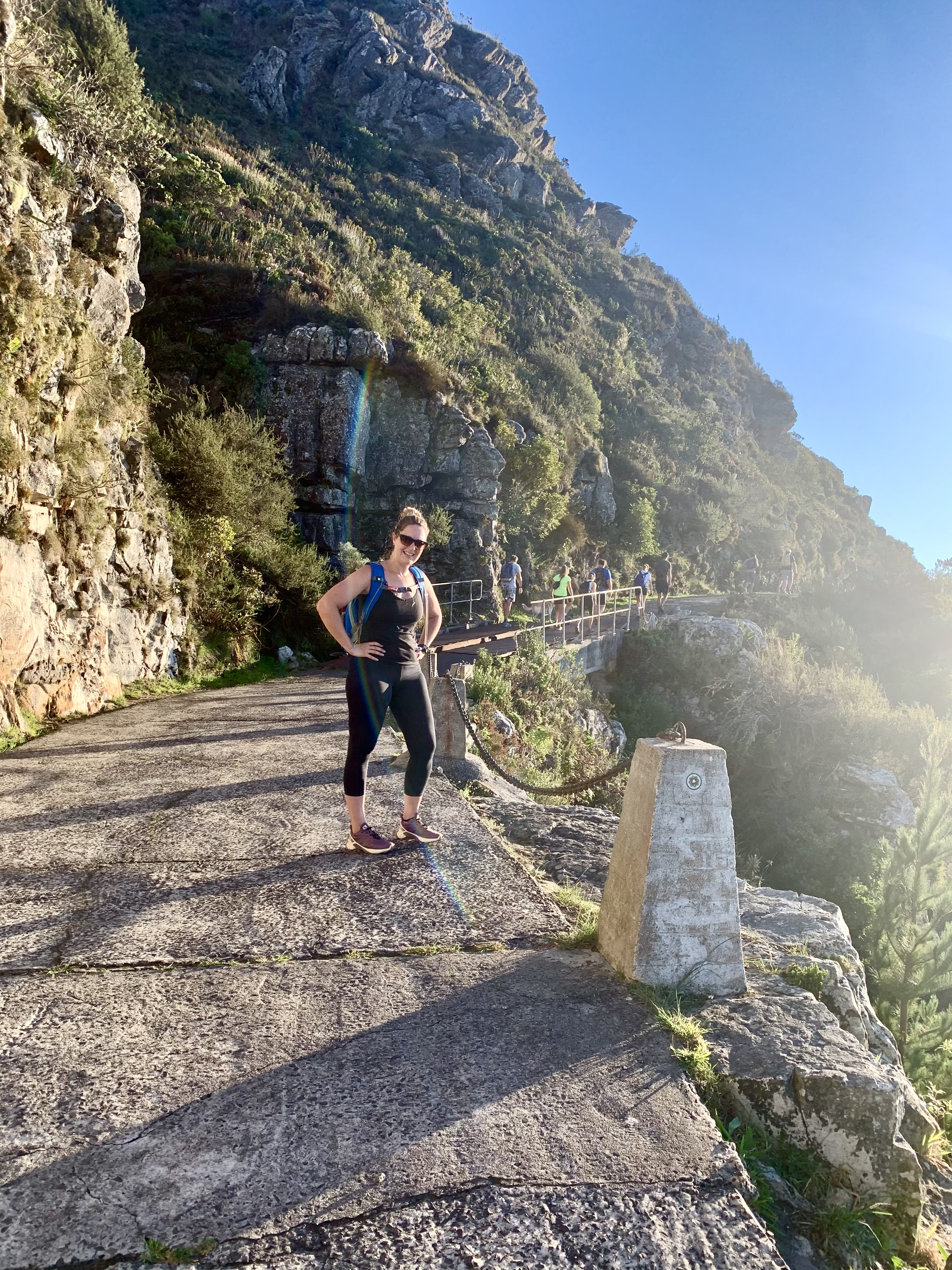
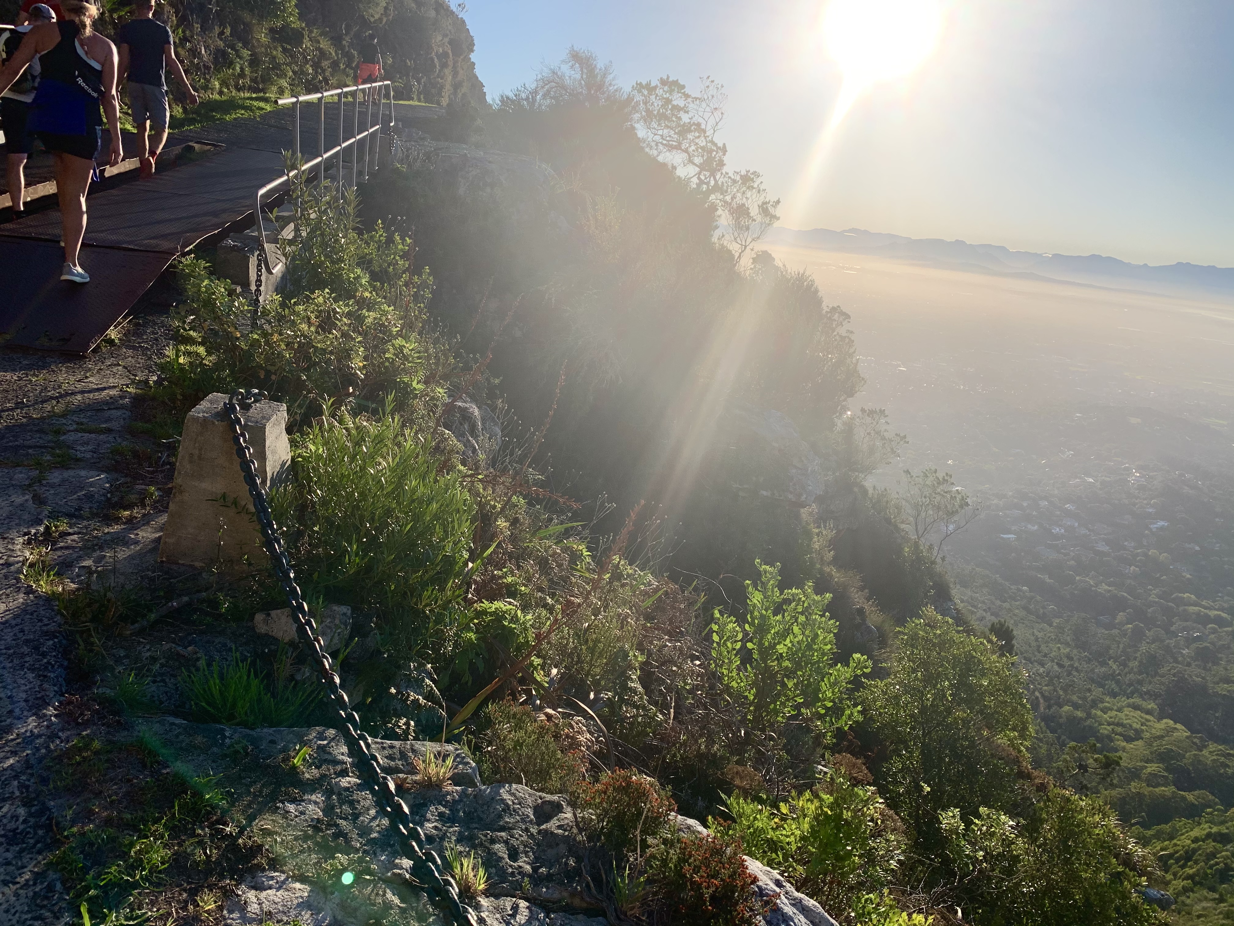
Up up up! And we reach the steel bridge which is the marker for the (almost) top of the mountain.
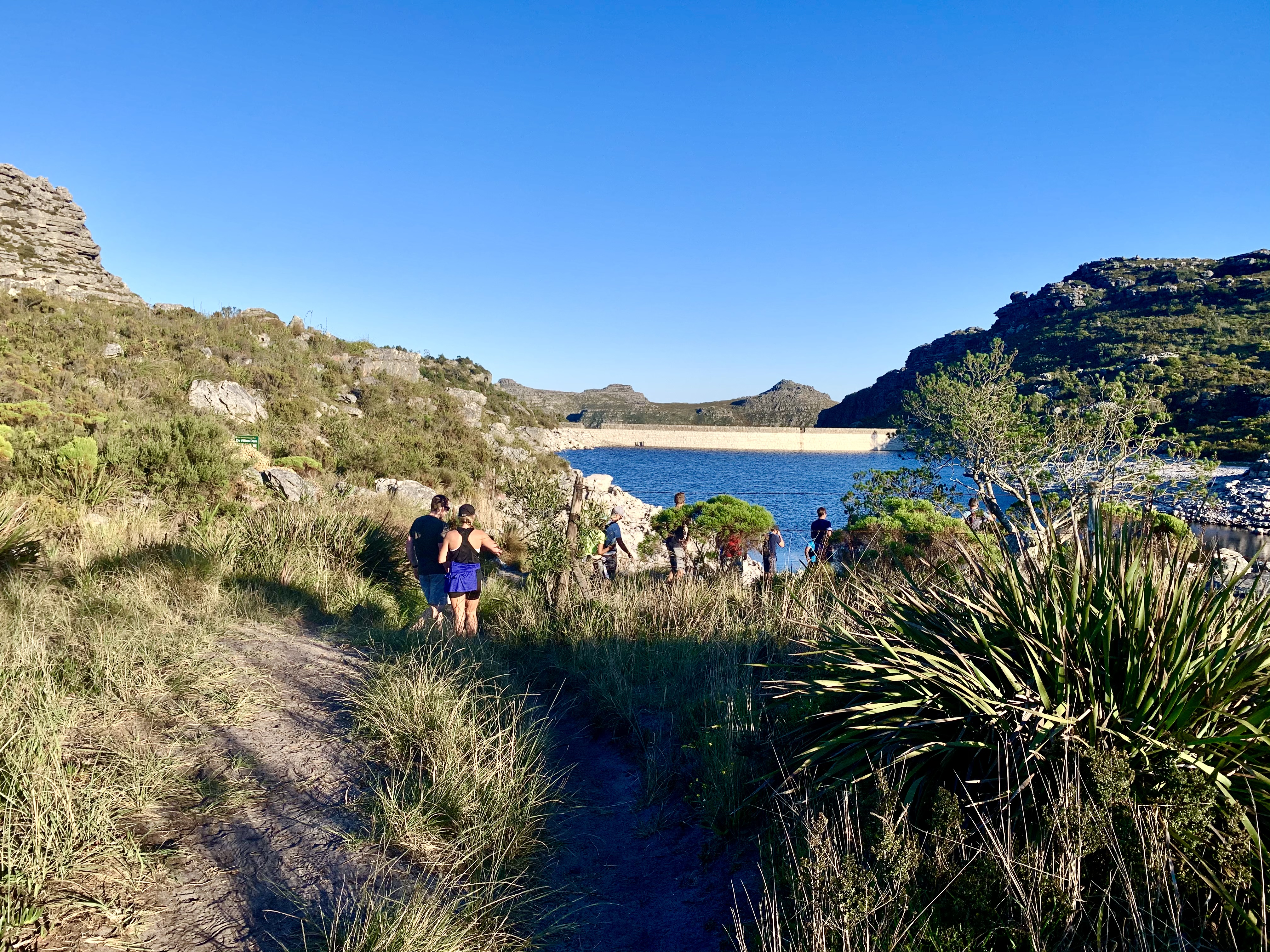
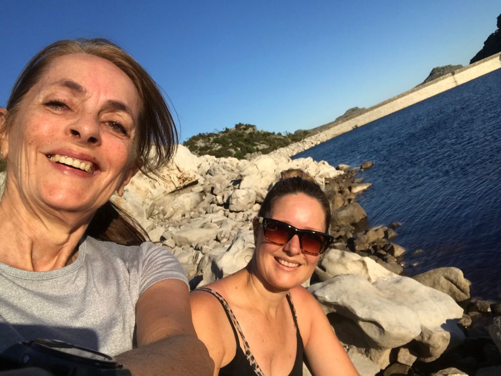
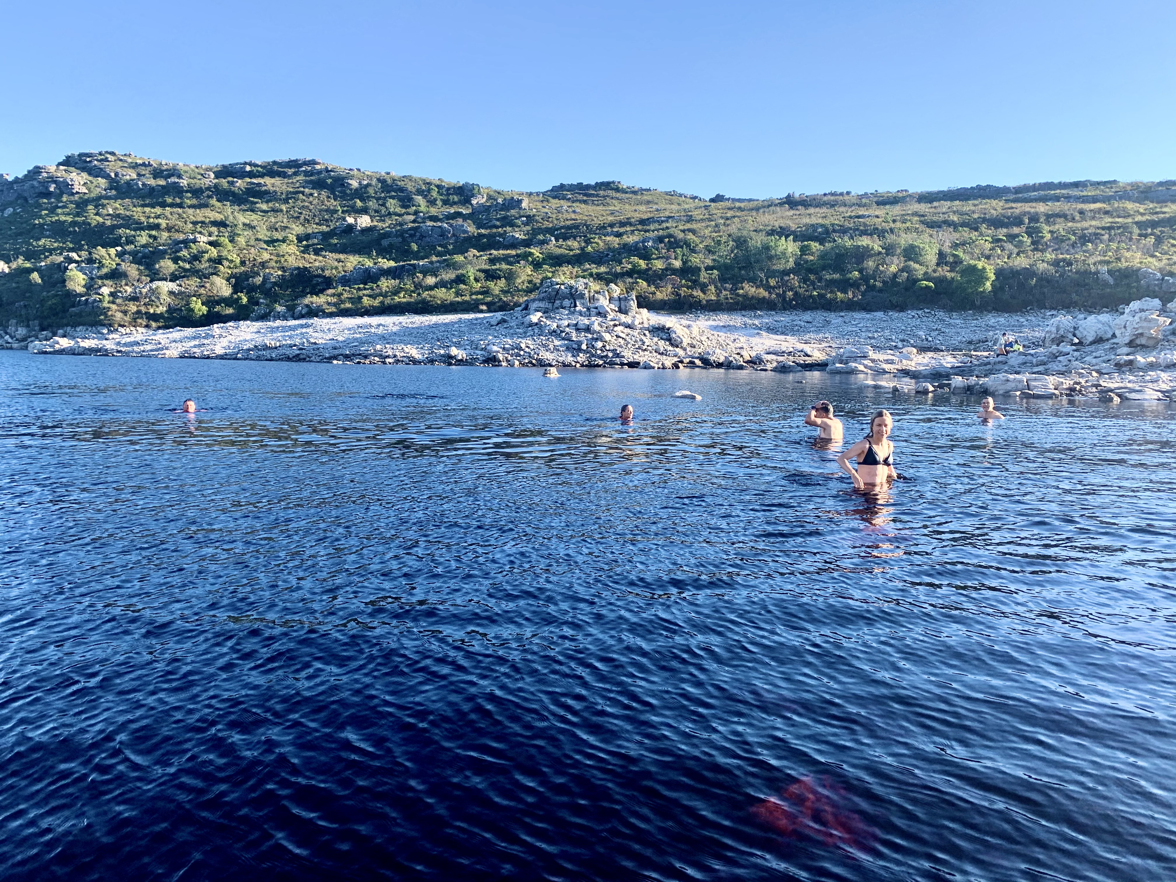
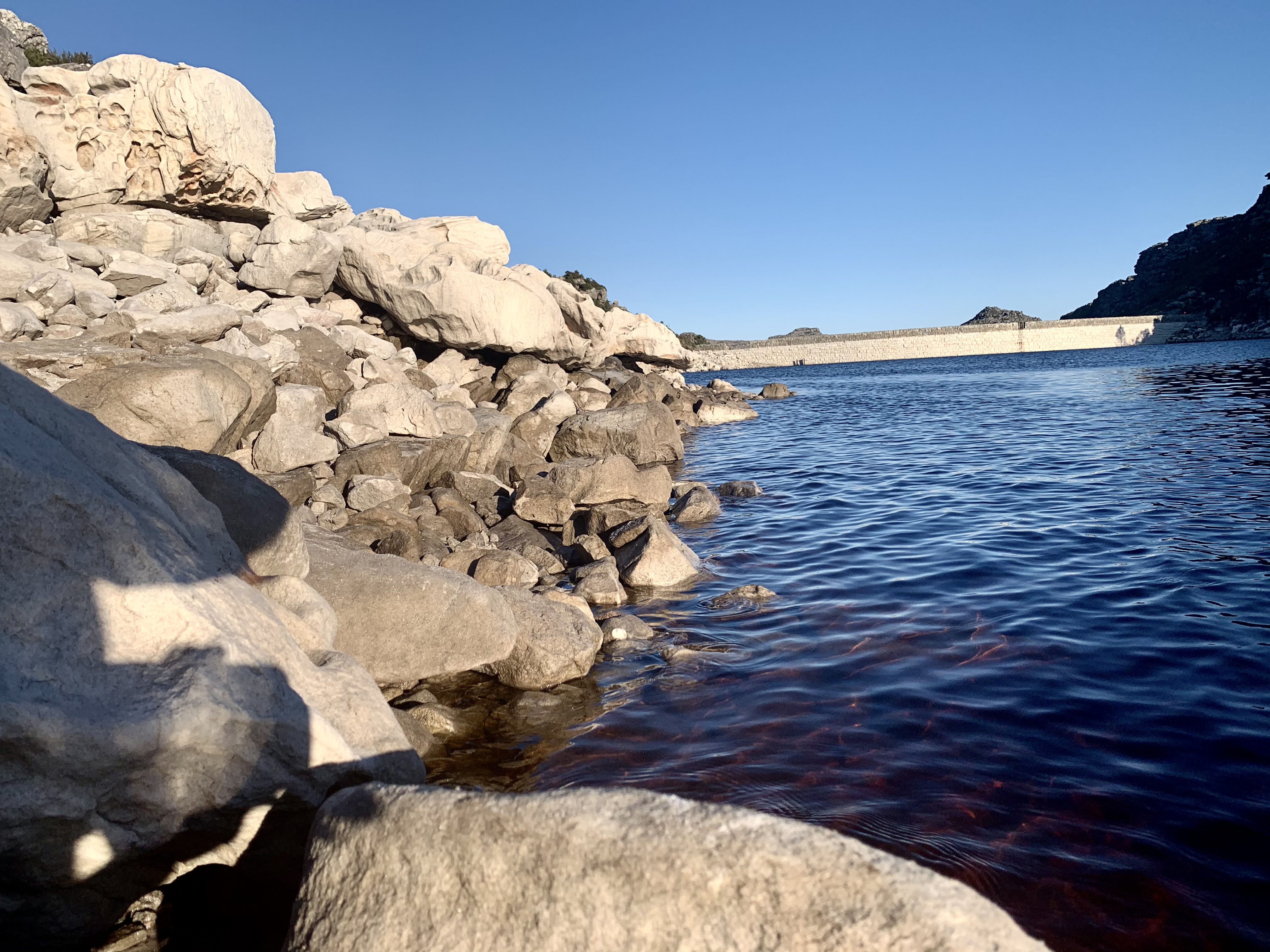
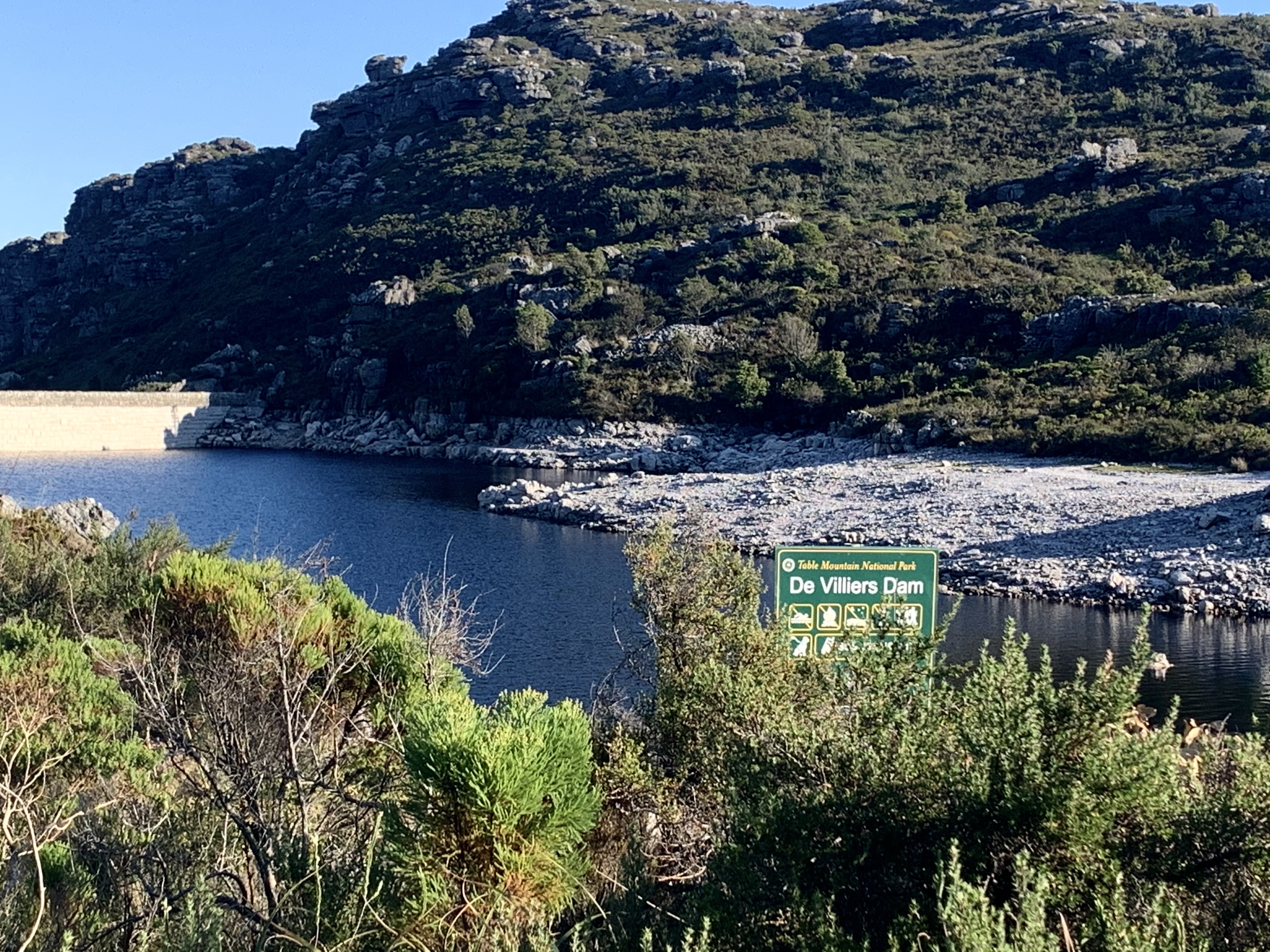
At last it flattens out as we summit and make our way along a short path to De Villiers Dam. I first came up here years ago and swam in the dam in the mist. But this time I’m happy to soak my feet in the cold water.
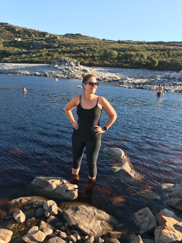
I love how startling the pale grey rocks and boulders look against the brown brackish water. The water is drinkable and clear, not muddy, but stained brown from the minerals that soak from the rocks.
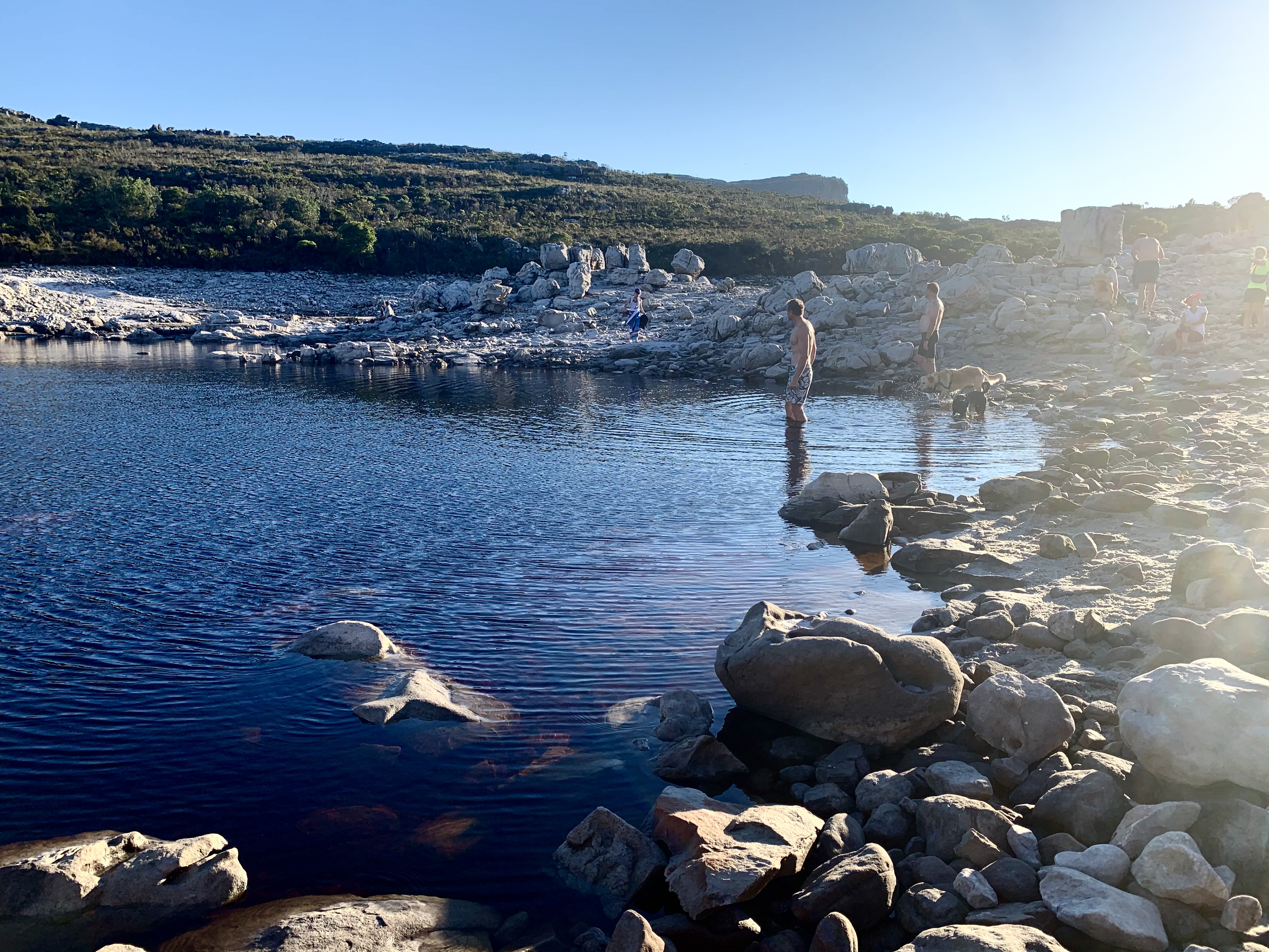
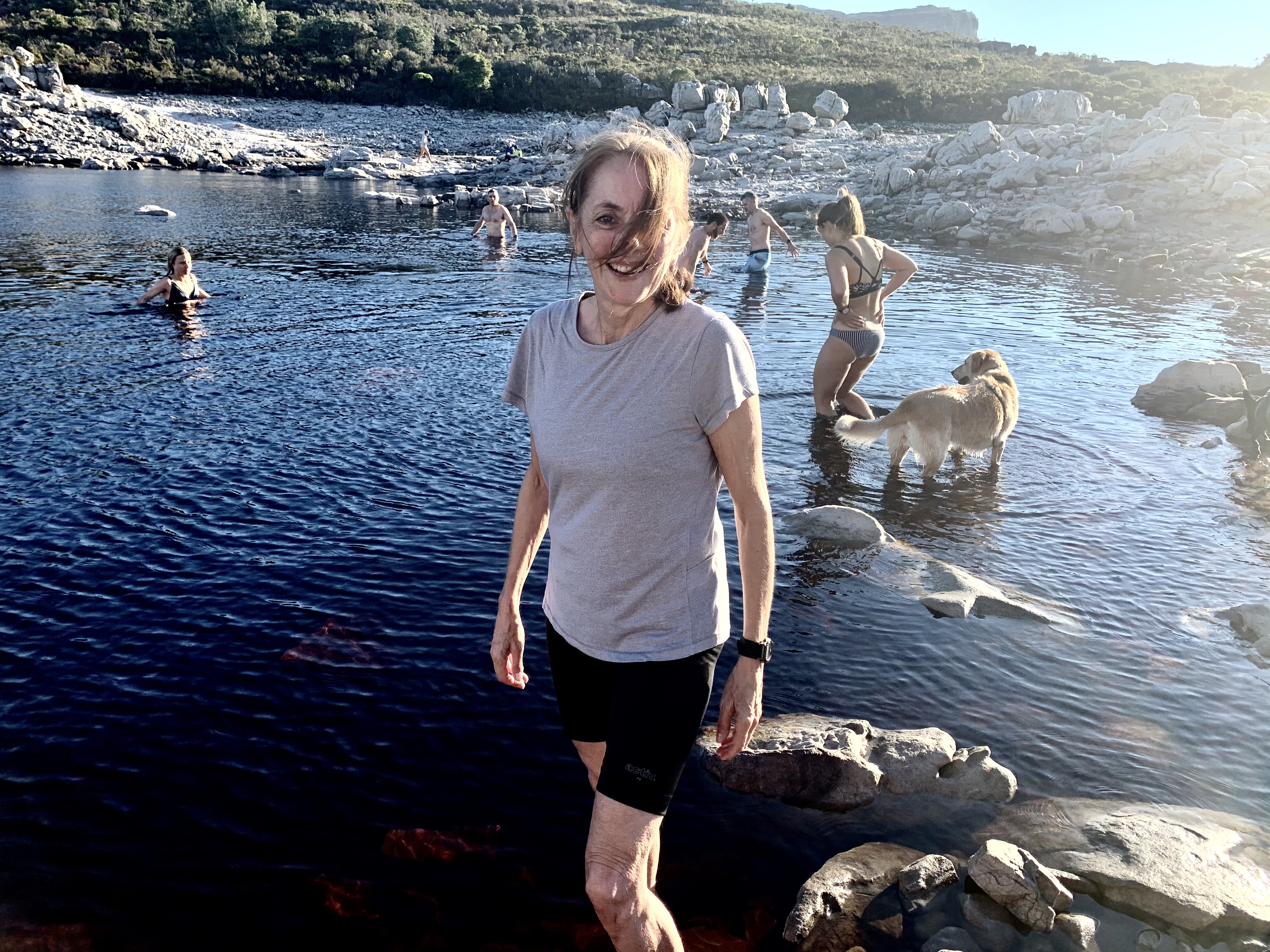
Another big group arrive just ahead of us, they had passed us at the steel bridge. I reckon they took the single track steps because they caught up very quickly and it seemed to be an office excursion.
A few of them went for a beautiful swim with their dogs in tow only too happy to cool down.

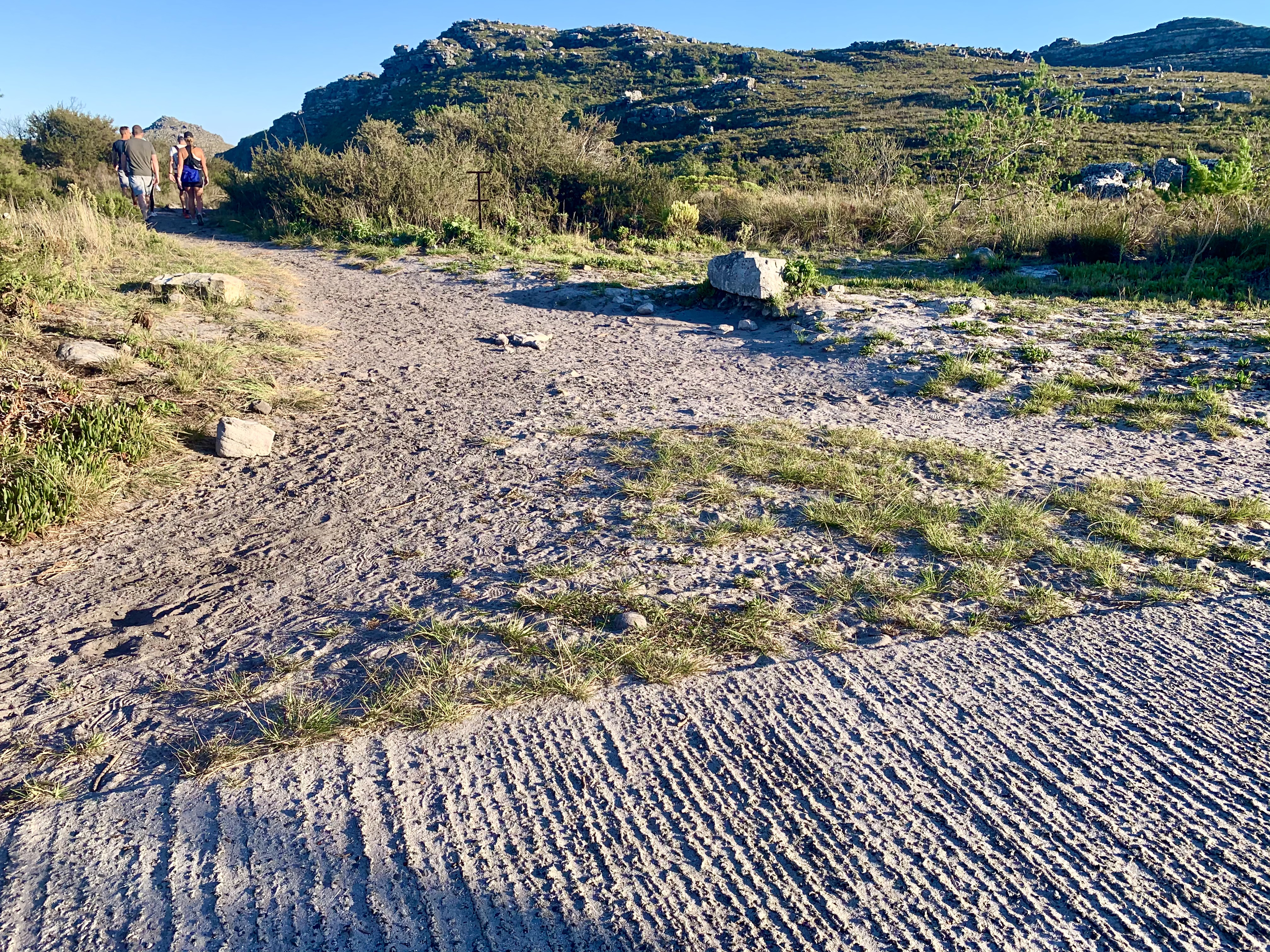
There is a trail that continues around the dam around the back of the Table Mountain range or you can continue with the track we were on towards the next 4 dams. Dam 2 and 3 are not far from De Villiers Dam, we made it there on our last hike up this way. But from dam 4 onwards it’s still a mystery to me. One day we will make a go of it and do all 5 dams in a day.
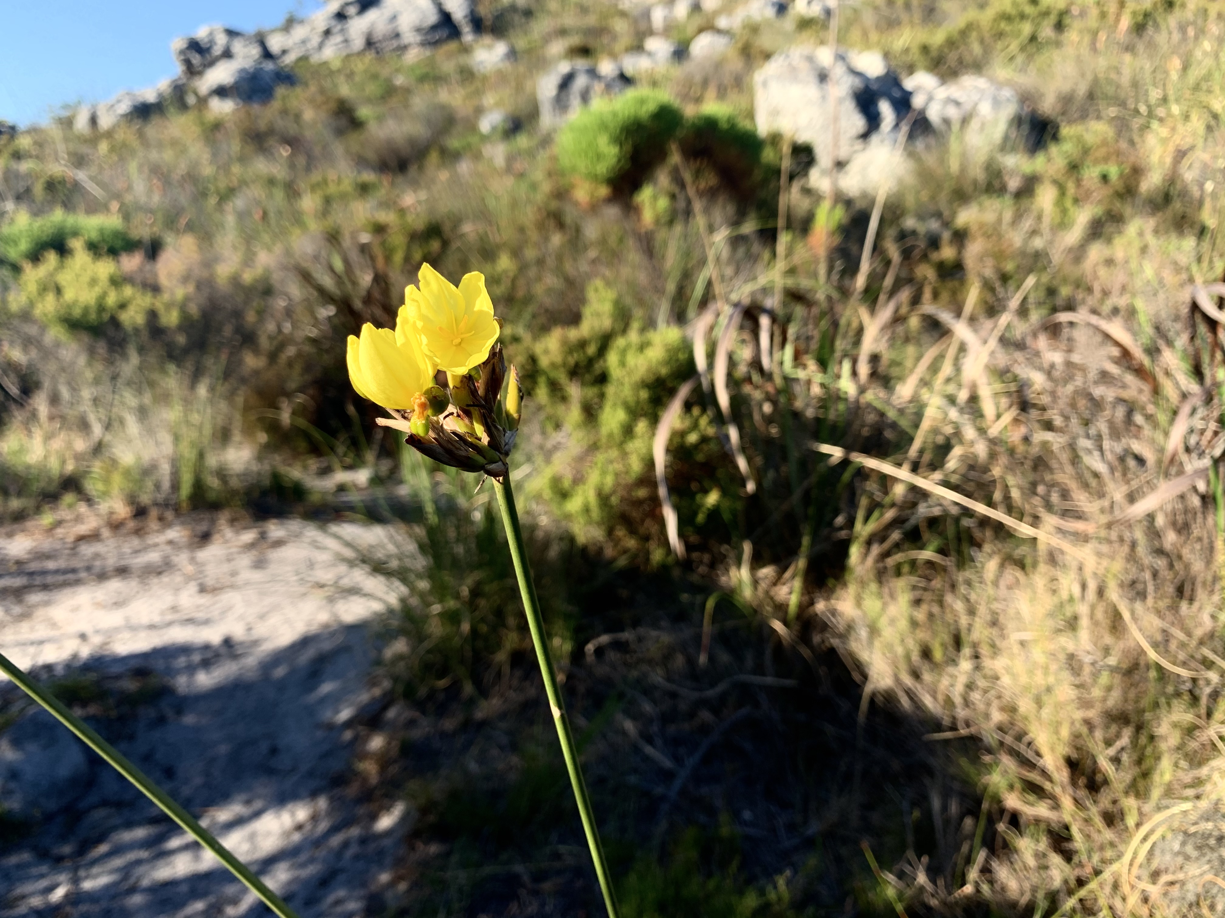
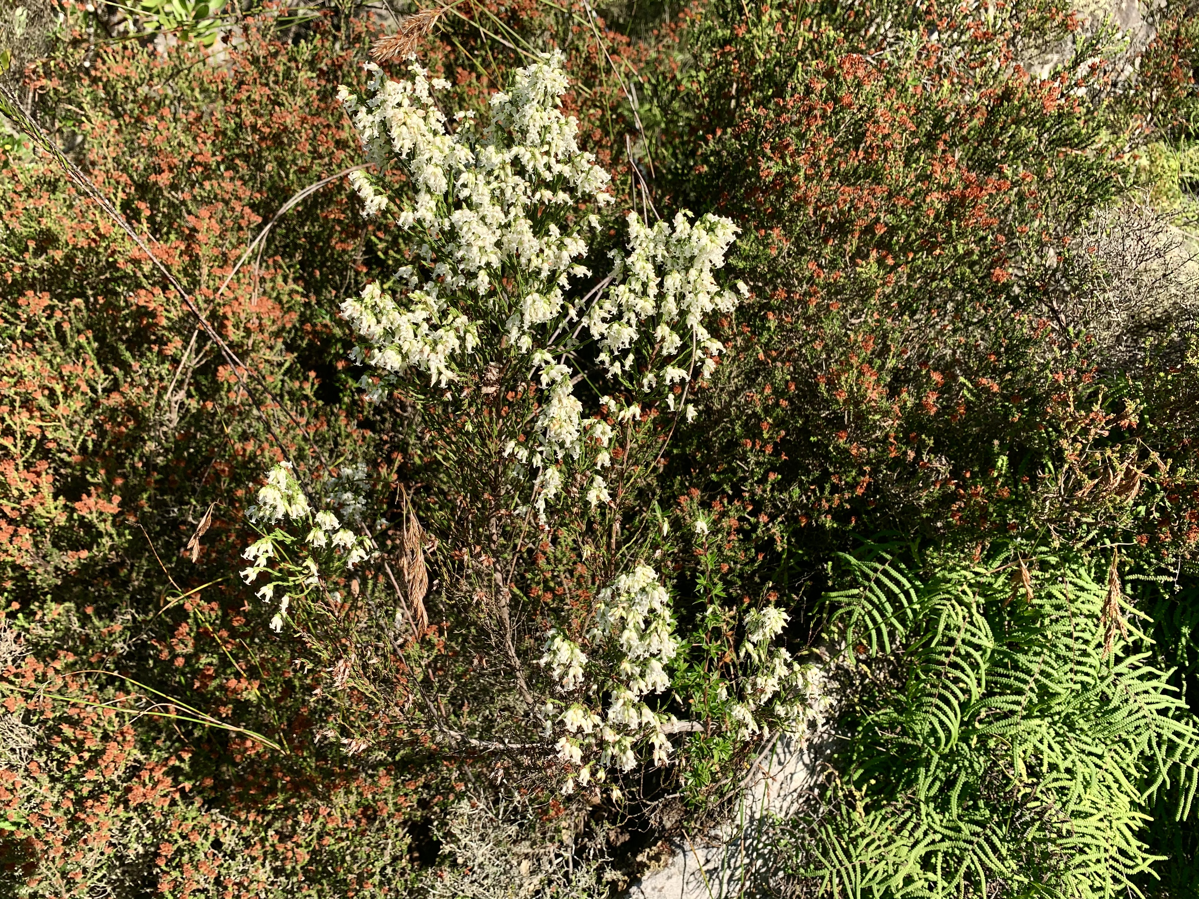
The dam was perfect, but all good things must come to and end, so out on our shoes and made our way back to the jeep track. It’s the end of our flower season until spring but I spotted one little beauty on the side of the trail and a tiny dribble of water and some mosses and ferns.

And then down down down. The long descent is a killer on the legs so we took it slow and easy. The sun was high but wasn’t too hot as it’s getting more and more oblique as autumn progresses.

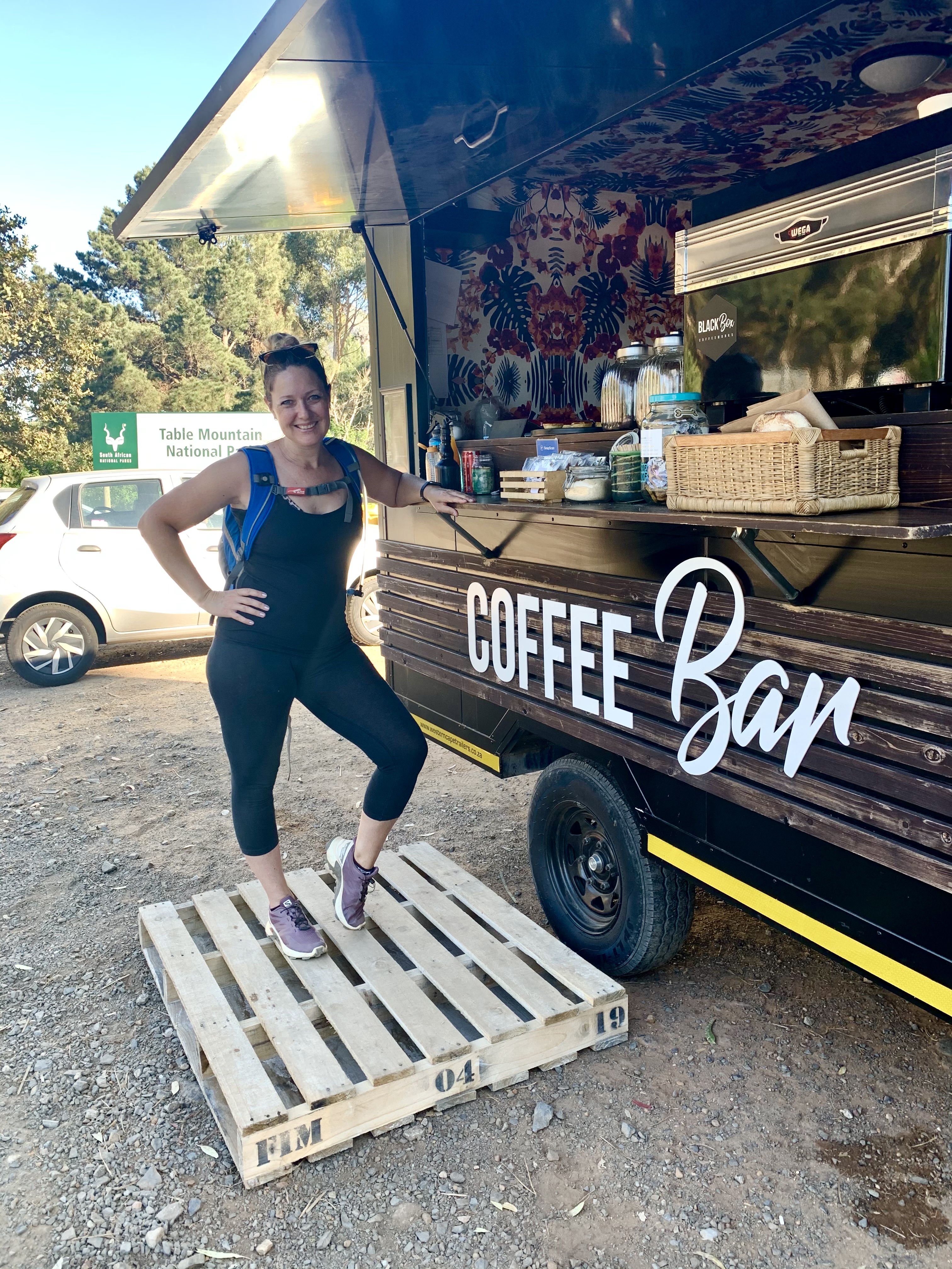
Then the final steep downhill and we’re back at the carpark. This little coffee stand does incredibly well with cyclists, hikers and folk stopping on the side of the road for their cappuccino or latte. I’m a latte girl and always love a hood coffee for the drive home.
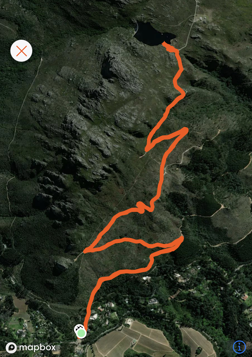
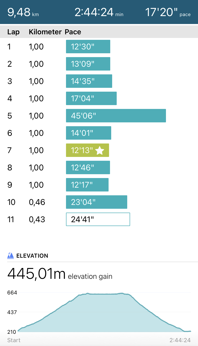
Here’s a map of the route we took with some stats:
Today my legs were a little sore as I climbed out of bed after sleeping in for the first time in ages. But I reckon a day off is in order. We’ve packed up the boards and car and are off on a road trip up the coast. A day in the car is just what I need, reading, writing and watching the world fly by.
Until tomorrow...

Cool! Thanks so much!
Congratulations, your post has been added to Pinmapple! 🎉🥳🍍
Did you know you have your own profile map?
And every post has their own map too!
Want to have your post on the map too?
Hiya, @lizanomadsoul here, just swinging by to let you know that this post made it into our Top 3 in Daily Travel Digest #1175.
Your post has been manually curated by the @pinmapple team. If you like what we're doing, please drop by to check out all the rest of today's great posts and consider supporting other authors like yourself and us so we can keep the project going!
Become part of our travel community:
Thanks so much!!!
That kinda trips make the soul feel alive! Nice to travel with you.
Thank you! It was such an awesome hike!
Beautiful place and beautiful photos! I miss the mountains and hiking but we missed the season for that here in Thailand. It is way too hot nowadays for that.
Thank you! Agreed. Hiking in the heat is unbearable. But luckily we are going into winter and it get very wet and cold. It will be good for hiking though. Thanks for chatting!