Read this post on TravelFeed.io for the best experience
I had never climbed a mountain at night, just for this detail, the excursion I made to Naiguatá Peak, the highest in the mountain range of the Venezuelan coast at 2675 meters of altitude, was an adventure like no other.
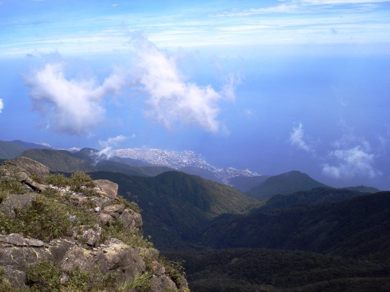
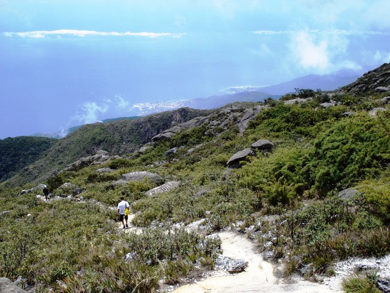
Photo: The coastal town of La Guaira seen from the Naiguatá peak
A group of hikers with whom I had made routes before, scheduled the ascent to this mountain for a weekend, from Friday to Sunday. When I told them to write me down they asked me: in which group, leaving early in the morning or at night? I found it very attractive to go up at night and there I joined.
One of the advantages, the guide explained to me, is that the ascent is done without the wear caused by the sun to the body. Climbing this peak located within the Waraira Repano or Ávila National Park, which is accessed from Caracas, the capital of Venezuela, is not easy, it requires good physical conditions because 70% of the route is uphill, there are few flat sections.
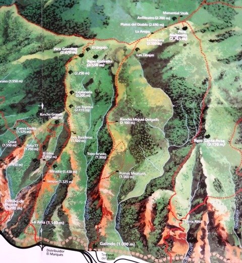
Photo: Map of the route to Naiguatá peak, down left the starting point La Julia and in red points the route
I told a friend that I was sure he wanted to go, in fact, he was very excited because he had never taken a long excursion and even less had camped in the mountains.
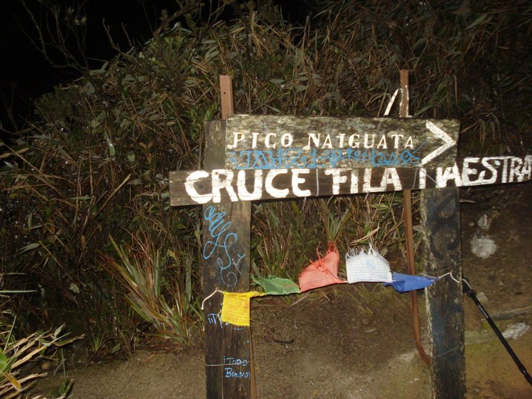
The day of the excursion we met at a Caracas subway station near the meeting point with the group, he came from Maracay, a city approximately two hours from the capital. At about six o'clock in the afternoon we arrived at the El Marqués area and from there we walked with the others, about 20 people, along the steep path to the Ranger Station La Julia, where the tour begins.
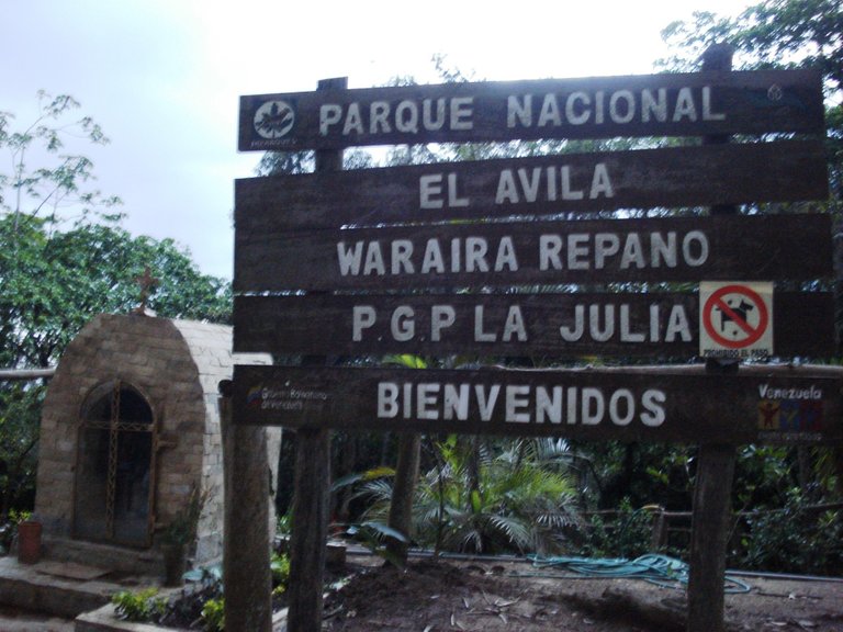
As soon as we arrived, tremendous rain fell and we ran to take refuge in the ranger's house, taking the opportunity to notify him that we would go up that night. We registered properly with our data and he gave us the indications such as not leaving the signposted roads, not making bonfires, bring the trash back, among others.
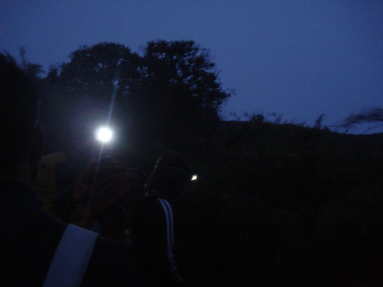
We waited for the rain to stop and after 7:30 pm we started the climb, some with our flashlights on our heads while others carried them in their hands. To avoid stragglers, the guide leading the excursion went ahead and another guide followed the last walker. From time to time the leader yelled at him "last!" and the latter answered “last!”, thus ensuring that the group did not break up too much, taking into account that not everyone could go at the same pace.

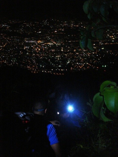
Photo: Caracas night seen from the mountain
The route to Naiguatá Peak, a classic for all Caracas hikers, is approximately 14 km leaving from La Julia (it can be climbed from other points as well) and can be completed in about six hours, depending on the speed and the stops you make in the path.
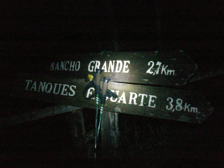
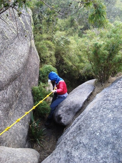
From La Julia we arrive at El Tanque, where you can collect water and continue to another point called Mirador. Meanwhile two boys came down from the mountain and the guide asked them that if the road along Route 77, longer but less steep, was muddy, they said yes and very much, that we better ascend through Dos Banderas, shorter route but with terrifying climbs hahaha ... there I saw the importance of having the flashlight on my head because I used my arms a lot to help me climb several steep steps, almost vertical. For that you had to have your hands free.
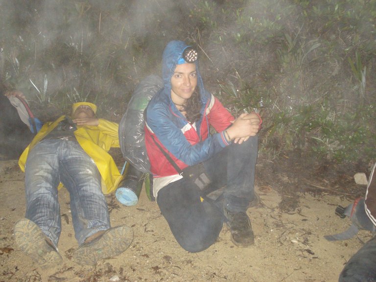
Photo: Resting at one of the stops we made
Because of the rain that had fallen, the land was also wet there but not muddy, it must be that as the road is steeper, the water runs, it does not get weak, it was also necessary to be careful to look well where you stepped so as not to slip, it was night, all uphill and the trail narrow, we were going one after the other. We were also at a higher altitude and the cold felt strong when pausing, so it was best to continue even if it was at a slow pace and thus keep the body warm. Fortunately it did not rain again, the sky cleared.
When we had been walking for about two hours, we stopped for about 20 minutes to eat something and get some rest. My friend was in jeans, inexperienced hahaha, the poor boy was freezing.
We continued walking, sometimes everything seemed like a dream, I wondered what am I doing here at this time of night? What you normally think when the physical effort is strong and you think you would be better sleeping in your bed hahaha ... We arrived at a part called Los Toyotas and then Explanada, from there the breaks we made were few and short, less than 10 minutes, the group was lively and because of the cold it was hitting, nobody wanted to stop.

We met some people who were camping in small flat areas around there, there are people who climb the Naiguatá peak in two parts, they start at around four in the afternoon and when night falls they set up tents and continue the excursion at dawn.
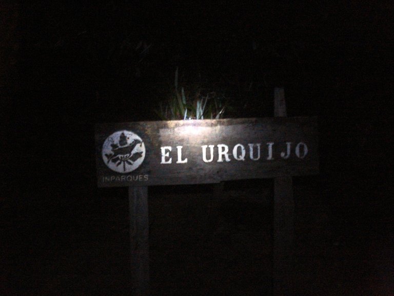
One of the things that is noticed even at night is the change in the vegetation on the mountain, and when we were reaching the Goering peak and El Urquijo, which are more than 2,000 meters high, we were involved in what is known such as cloud forest, tall trees, ferns and various forest species.
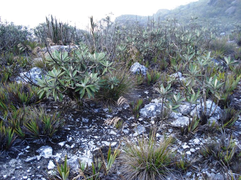
Then comes a flat part, what a relief! It's the Fila Maestra (Master Row), here the vegetation is from subparamo, similar to that of the Venezuelan Andes but without the frailejones (espeletia). When we got there I looked at my watch and it was half past four in the morning, it had been about eight hours since we started the ascent.
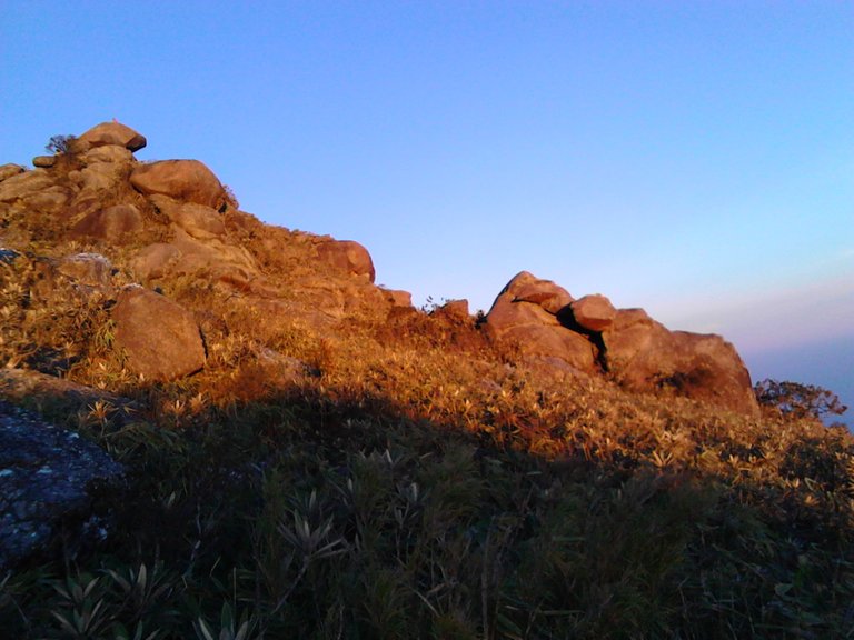
Sunrise caught us between several rock formations with striking silhouettes and names like La Arepa (name of a typical Venezuelan snack made from precooked cornmeal) and Los Platos del Diablo (The Devil's Dishes).

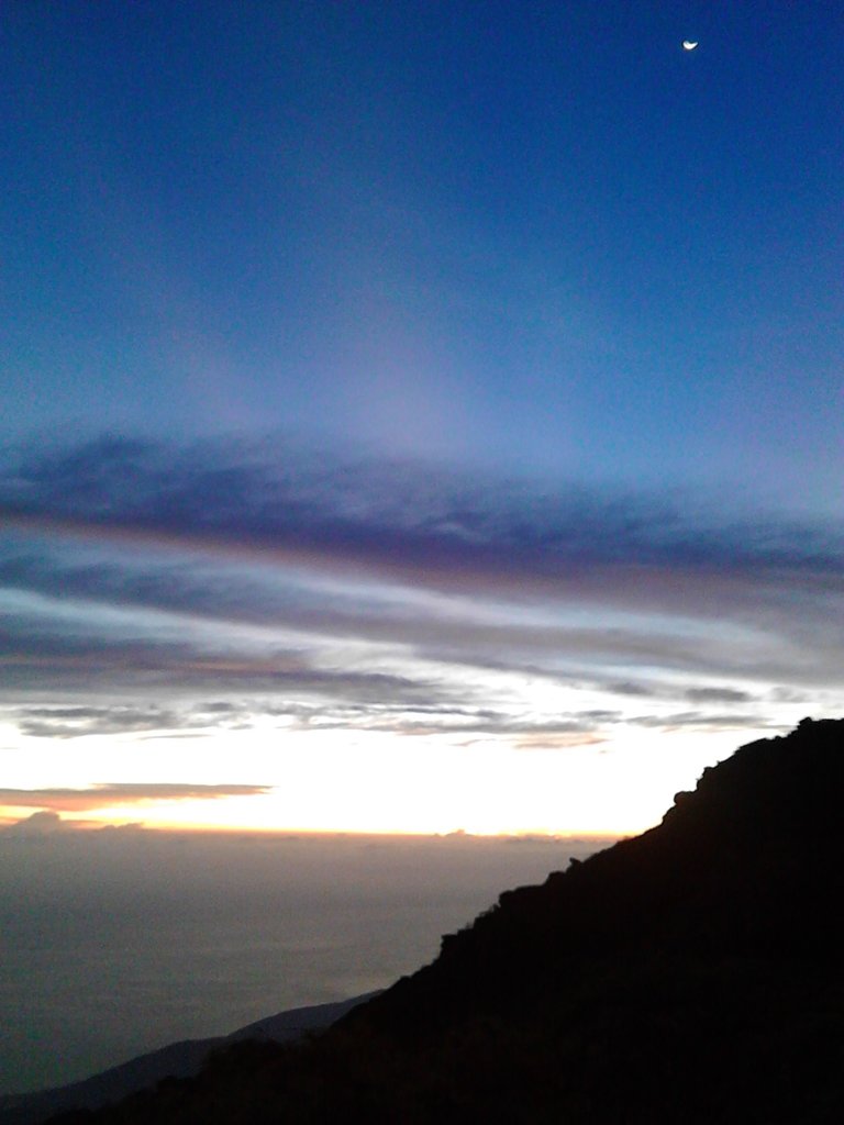
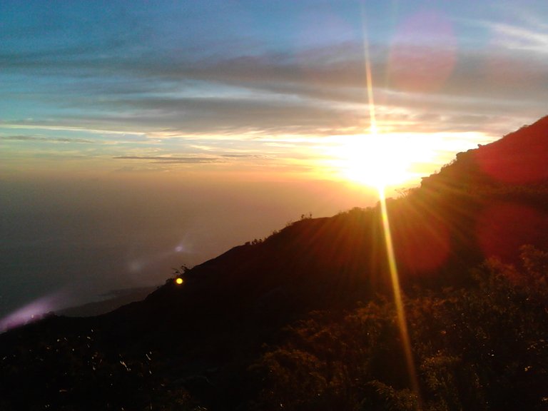
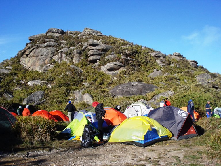
Finally, at about half past five in the morning, with the sky clearing in intense blue tones, we arrived at the so-called Amphitheater, an esplanade where camp is set up, we were already 2700 meters high. There were several people camping there, so we started looking for a place to set up our tents, the best places were taken.
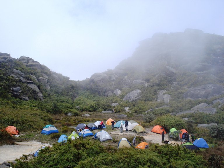
Photo: The Amphitheater, site where the camp is set up
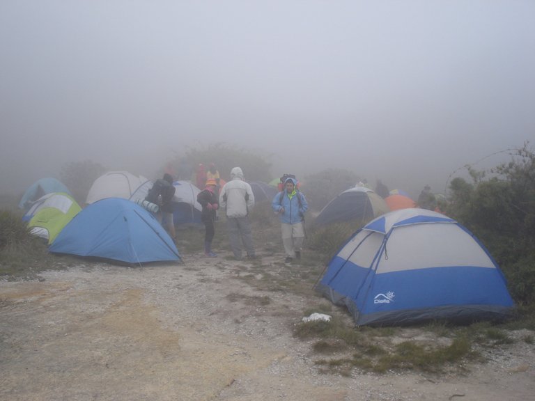
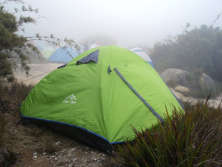
Photo: My tent
We settled where we could and each of us rested a couple of hours, then we had breakfast and began to explore the surroundings a little, it was cold and there was some fog.
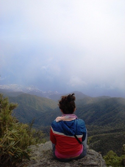
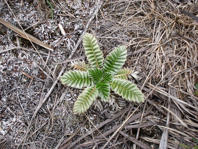
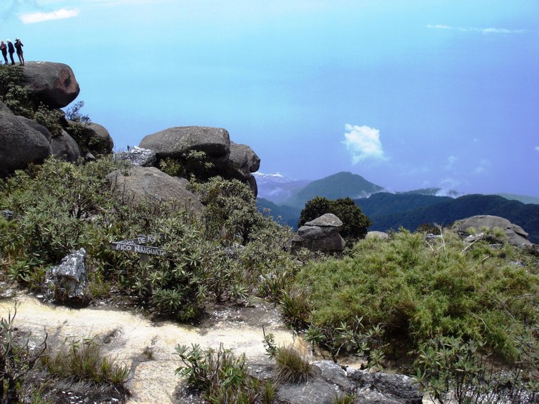
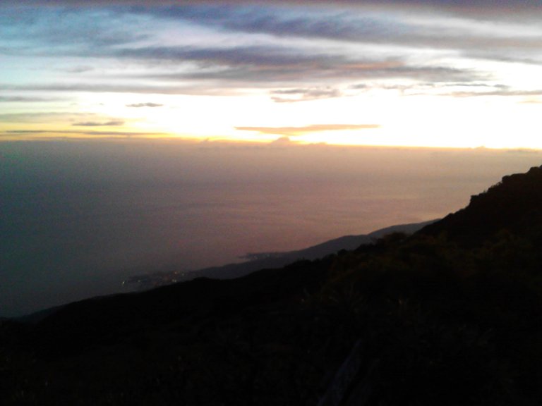
Photo: In the background, the sea ...

Later the guide gathered the group and told us that at four in the afternoon we were going to go up to our final objective and stay to watch the sunset. Of course, whoever wanted could go on their own at that moment, I decided to wait and thus be more rested.
To reach the summit, from the Amphitheater you walk about 15-20 minutes more along a path that ascends between large rocks. There are some ropes to help yourself and when you get to where there is a large metal cross, you are at the top of the Naiguatá peak (2765 m).
When the time came, I told my friend, he was still exhausted in his tent, he hardly dared to go until I said to him: did you come here not to go to the top? With that devastating phrase he got up from there quickly hahaha.
The weather had improved, there was sunshine, so we were all excited to see the scenery from the top.
The Naiguatá peak is between the states of Miranda and La Guaira, north of Caracas and its name is in honor of the Naiguatá chief of the Caribbean tribe, an indigenous group that inhabited the valley surrounded by this great green mountain that separates the Venezuelan capital from the Caribbean Sea.
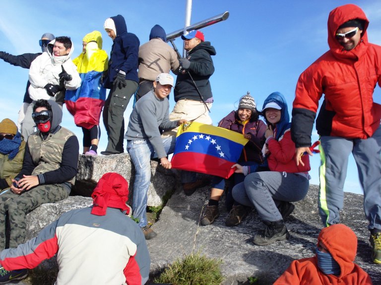
There were already people at the summit when we arrived, they were all rowdy taking photos, talking, looking at the horizon; the atmosphere was happy and the freezing and very strong wind had us all shaking but happy with our pink cheeks.
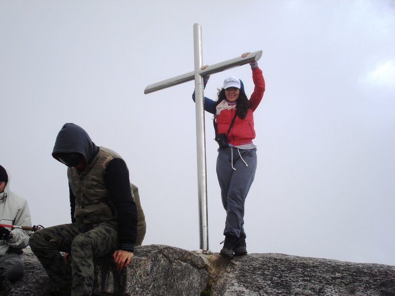
Photo: With the cross on top of the Naiguatá peak
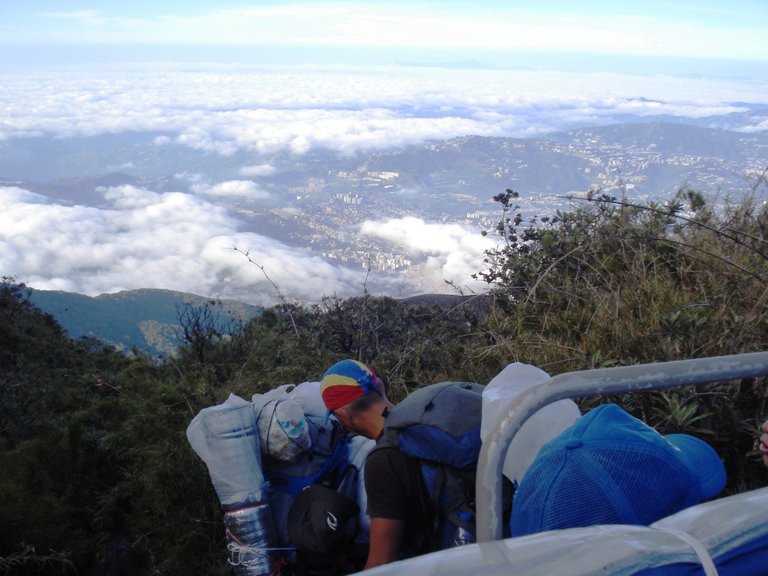
The visual spectacle from the 2765 meters of elevation of the Naiguatá peak is totally worth the energy spent on this excursion, on one side you see the city of Caracas that extends enormously through the valley, and when you turn to the other side you contemplate the population of La Guaira and the spectacular Caribbean Sea. We were there until the sun went down.
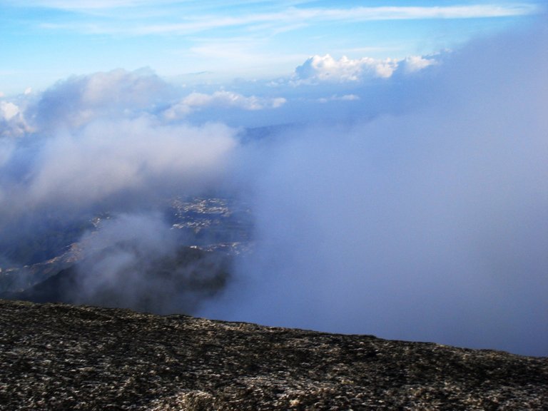
Photo: The city of Caracas through the clouds

Photo: Sea view from the Naiguatá peak
In the camp we started to prepare dinner, I had brought several cans of tuna and sauce and my friend had brought the breads to make sandwiches, a companion of the group offered us pasta in exchange for tuna and the dinner was enriched hehehe, without a doubt that's another good thing about mountaineering, sharing with others.
Then we were out there talking, others singing and telling stories, but the cold was strong and that's why we went to our tents early. I couldn't sleep much that night, not only because of the cold that can reach 0º C but also because the wind was rough and I felt how it rumbled over my tent, shook it.
The next day I had set the alarm to see the sunrise. I left the tent to do my physiological needs, collect water from the spring near the camp, and then sit down to watch the sunrise. I always do this when I go camping, it's a magical moment.
We collected the tents and at 7:30 in the morning part of the group was already on the way back, others stayed, they would leave later.
Since my friend had to return to his house in Maracay we started early to go at a relaxed pace, enjoy the scenery that we couldn't see when we went up at night and arrive in Caracas at noon.
The good weather accompanied us, the sky was super blue and we could enjoy the beauty of this mountain that is the lung and main natural attraction of the Venezuelan capital. Its varied vegetation inhabits diverse fauna, more than ten species of birds, including: guacharacas (Ortalis motmot), hummingbirds, the turpial and mammals such as squirrels, rabipelados (opossum), cachicamos (armadillo), porcupines, cunaguaros, deer; There are also dangerous snakes like the mapanare, rattlesnake and coral. We saw several birds and a armadillo, I suppose we did not see any more because the animals on hearing human sound flee.
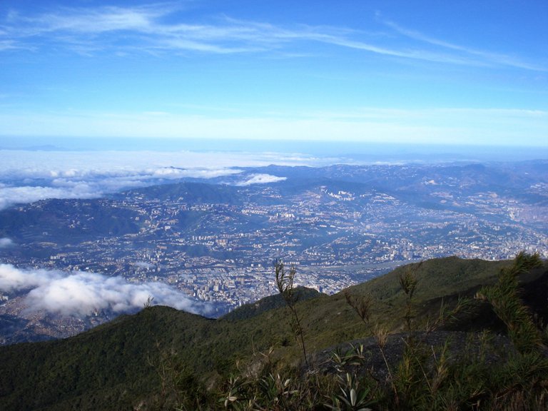
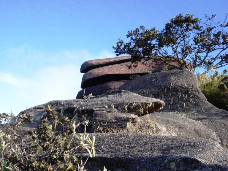
Photo: Rock formation known as The Devil's Dishes
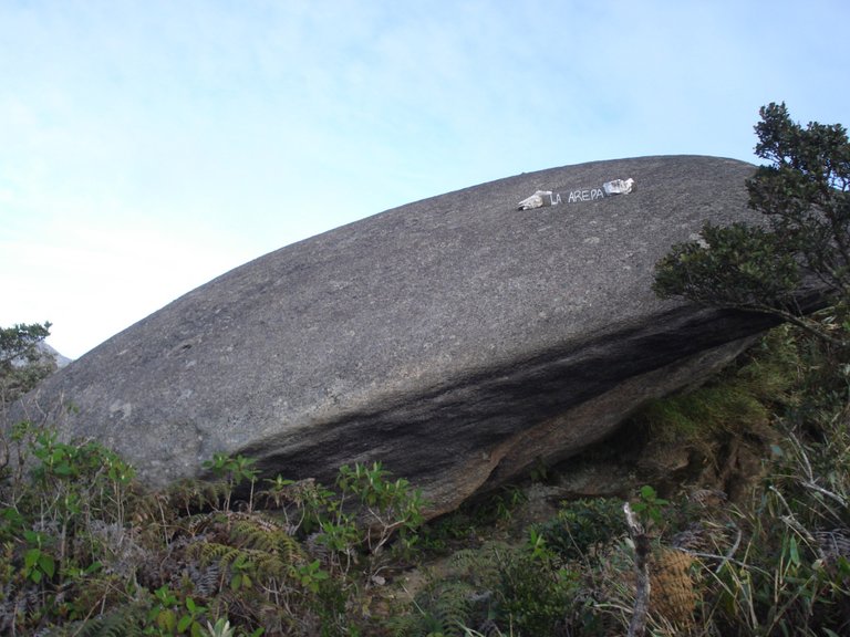
Photo: Another rare stone, its name? Arepa
The return was cool most of the time, because we walked among tall trees and pleasant smells of flora, while we were going down we were taking off clothes, such as the sweater or scarf, we were already returning to our usual tropical climate.
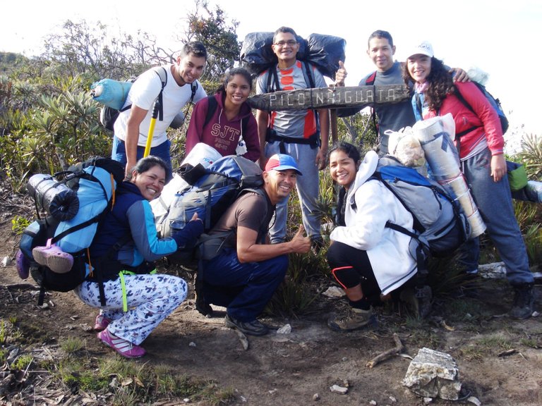
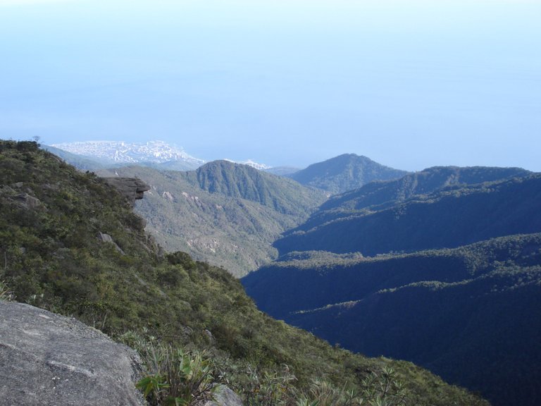
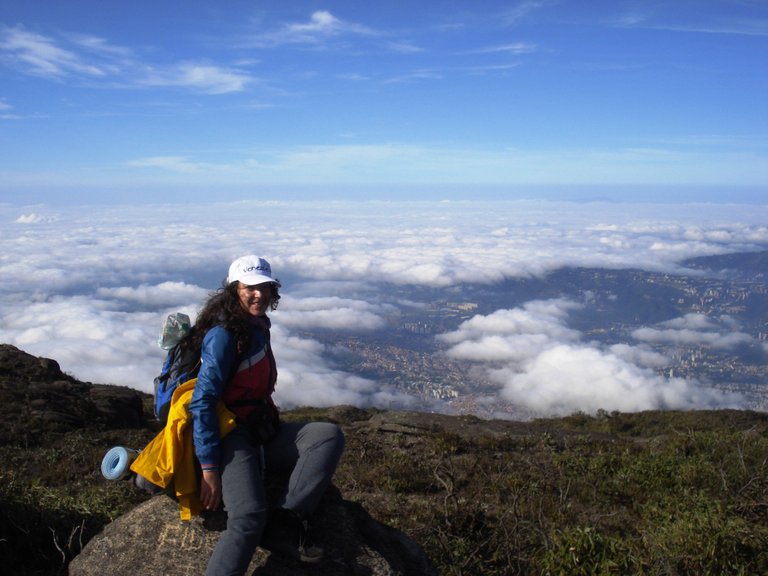

Photo: We go down Route 77, longer but less steep
We complete the return in about five hours and lie down on the ground for a rest when we arrive at La Julia Ranger Station.
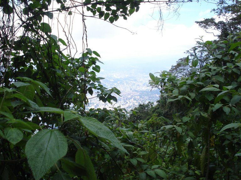
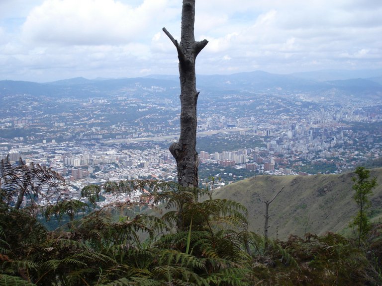
Photo: Already very close to Caracas
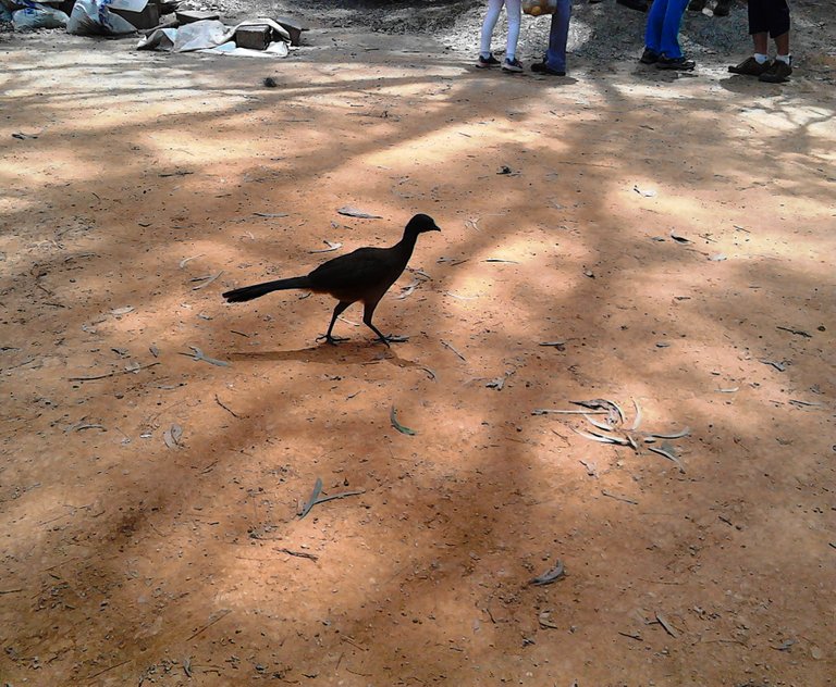
Photo: A guacharaca, a very friendly bird that can be seen in almost all of Venezuela
Adventurous friends, when you are in Caracas, take this excursion!
THANK YOU FOR READING!
All photos were taken by me with a Sony Cyber Shot 7.2 mp digital camera
View this post on TravelFeed for the best experience.
Congratulations, your post has been added to Pinmapple! 🎉🥳🍍
Did you know every user has their own profile map?
And so does every post as well!
Want to have your post on the map too?
Thank you! :)
Wow, what an amazing trip! Totally jealous! To bad I don't have anything similar in central europe. Well, we've got the alps, but thats something different :-/
Take care of yourself on those tours!
Hello! Thank you very much for stopping by! Yes, this place combines many landscapes and climates. Wow! The Alps must be spectacular :)
Hiya, @LivingUKTaiwan here, just swinging by to let you know that this post made it into our Top 3 in Daily Travel Digest #813.
Your post has been manually curated by the @pinmapple team. If you like what we're doing, please drop by to check out all the rest of today's great posts and consider supporting other authors like yourself and us so we can keep the project going!
Become part of our travel community:
You make me happy! Thank you :)
Congratulations @sofathana! You received the biggest smile and some love from TravelFeed! Keep up the amazing blog. 😍 Your post was also chosen as top pick of the day and is now featured on the TravelFeed.io front page.
Thanks for using TravelFeed!
@elsaenroute (TravelFeed team)
PS: You can now search for your travels on-the-go with our Android App. Download it on Google Play
Eeeeh! Thank you!!! :)