For New Year's, @Mattlovell and I took a 4wd tour of the Lower Colorado River Valley from the border of California/Arizona/Mexico to Blythe, CA. In this installment, you'll experience a rugged drive through the borderlands to a remote California State Rec Area: Picacho.
 Source: https://en.m.wikipedia.org/wiki/Lower_Colorado_River_Valley
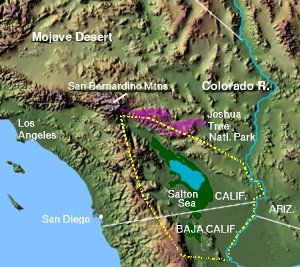
The map above shows the boundary of the LCRV. We left our home in San Bernardino via Palm Desert, and spent the night in Yuma, AZ.
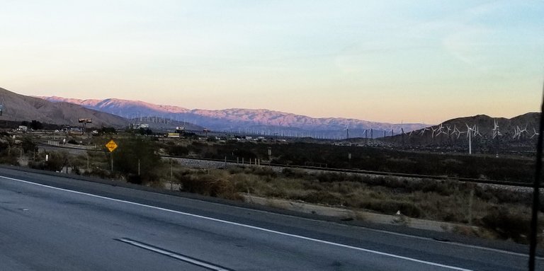 San Gorgonio Pass at sunset.
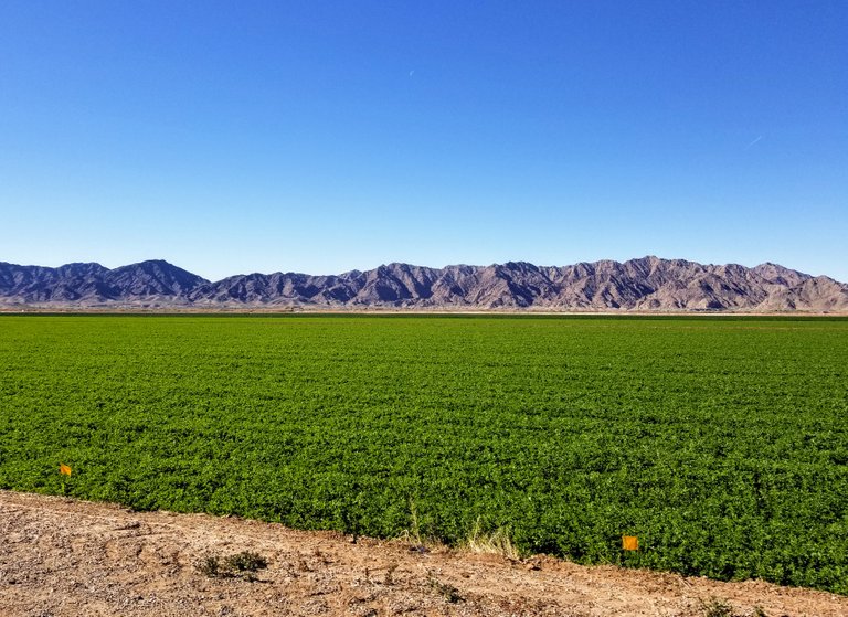 Outside of Yuma, we took a detour through Dome to see the Gila River, a land where canals transform the stark desert into rich farmland.
 Gila River--Dome, AZ
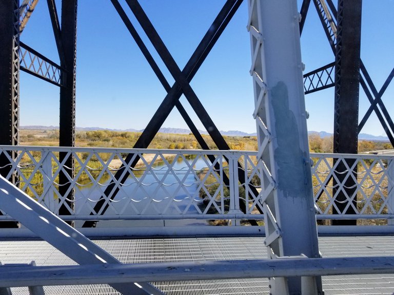 Crossing the Colorado River brings us back to #MyCalifornia.
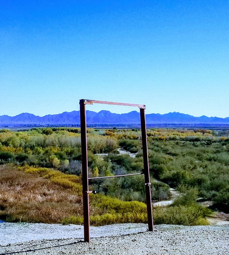 The landscape is as pretty as a picture, and someone even put up a frame.
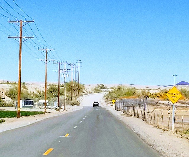 Picacho Road: Where the pavement ends.
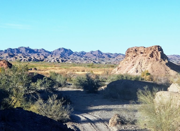
Picacho Road is a rugged offroad track that winds through the rugged California desert east of Glamis, a fragile ecosystem threatened by human development.
 The Grand Canal siphons water from the Colorado River to support agriculture--which clears endangered Mesquite thicket habitat, but gives life to farmers and the Quechan Indian Tribe.
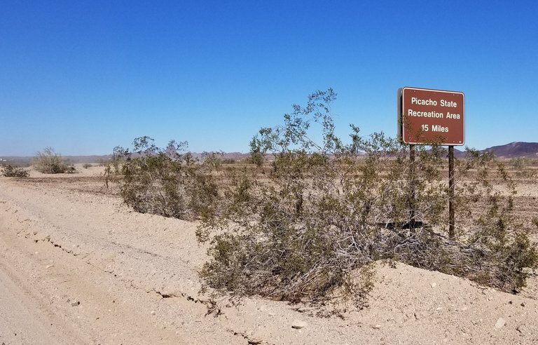 Our destination for the night: California's Picacho State Recreation Area, a total of 18 miles of rocky, tire-punishing desert pavement. If you attempt this route, make sure you bring desert survival gear including an offroad spare tire. My heroic hubby @mattlovell showed his Good Samaritan nature on this day, rescuing a couple with a rock-slashed tire and only a donut to replace it with.
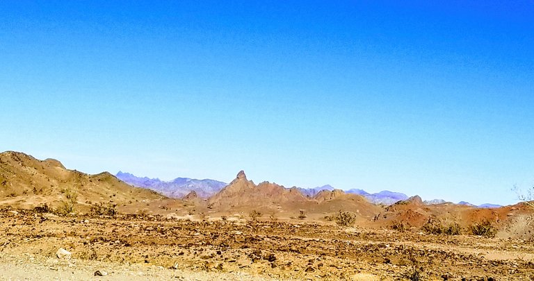
Once we leave the irrigated plains, the landscape reverts to Colorado Desert biome (i.e., Sonoran desert flora and fauna along the Colorado River.)
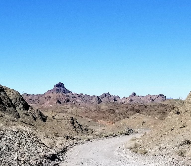
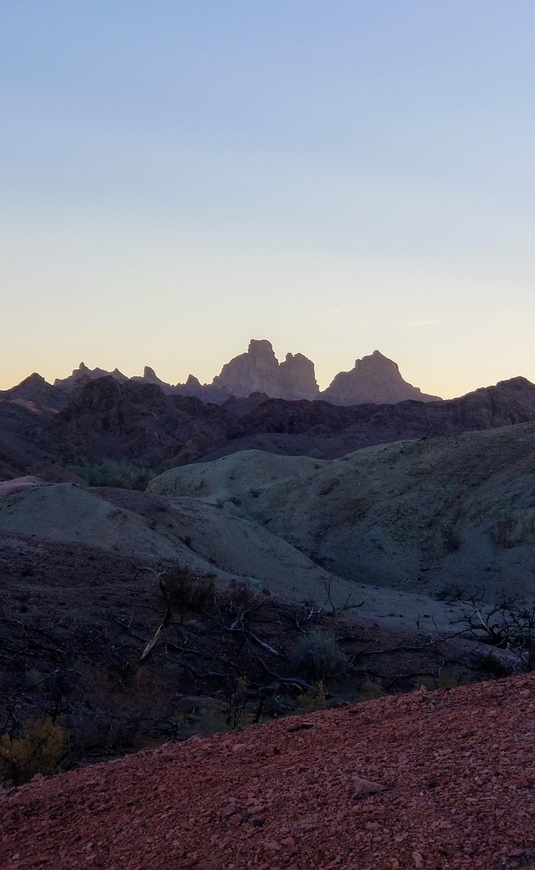
 Picacho Peak towers above the Martian landscape. It figures as prominently in Quechan Indian sacred folklore as it does in the skyline.
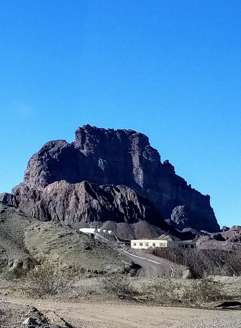 Sacred mountain, Picacho Peak, presently being mined. It must be doubleplus secret, because google maps grays out the interior of the claim. Personally, I feel sorrowful that such a meaningful indigenous monolith is still being plundered to this day.
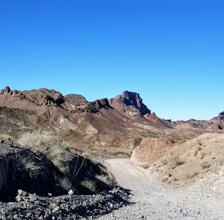
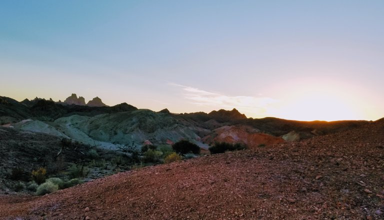
Colorado Desert scenery is so dry and stark. The contours speak of the forces of erosion over the millennia.
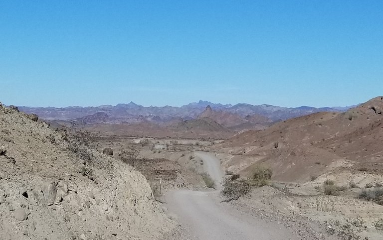 None of this earth is flat.
 Distance blurs the topography of the road, but the distant pinnacles sure are pokey.
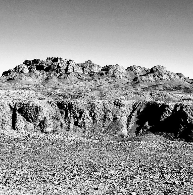 Olde Thyme-y black and white view of former Picacho mining territory.
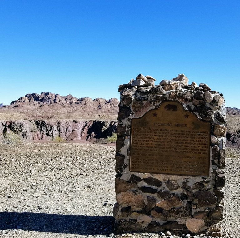 Mining companies provided some historical Fake News regarding the less-than-rich ore that can be gleaned there, ultimately causing the collapse of the prospecting industry.
Here's a brief video showing the drive through dry Picacho Creek shortly before we arrived at the State Rec Area:
This park has some nice commodities, including a main campground with 54 sites, bathrooms, and solar showers. We, however, are looking for more rustic accommodations so we continue on. Make sure to bring cash for the self pay drop station to avoid citations. It costs $10 per vehicle to even be on the premises. However, if you are camping, the day use fee is subsumed by your overnight fee. Campsite prices vary. http://www.parks.ca.gov/?page_id=641
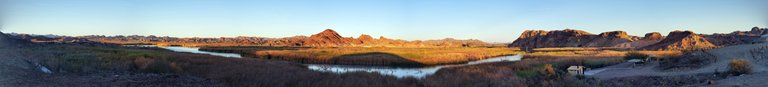
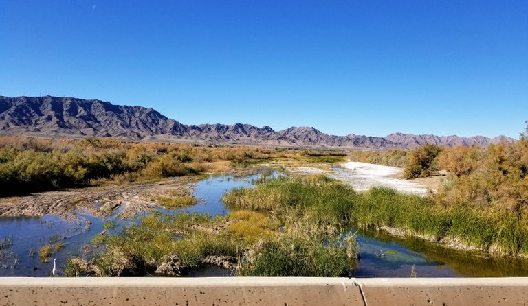
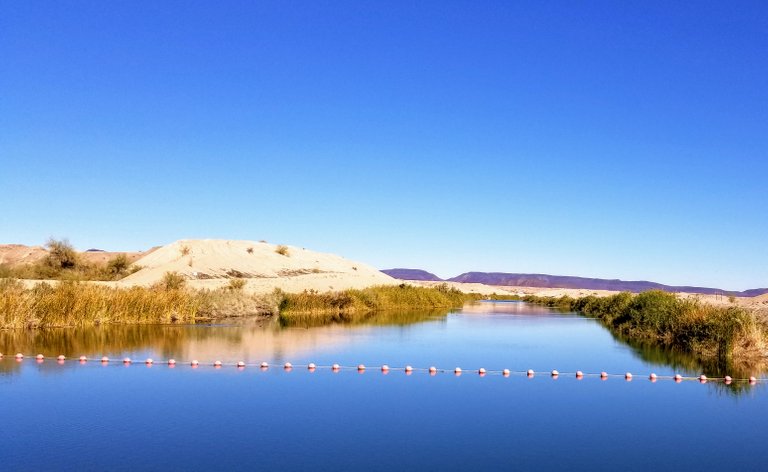
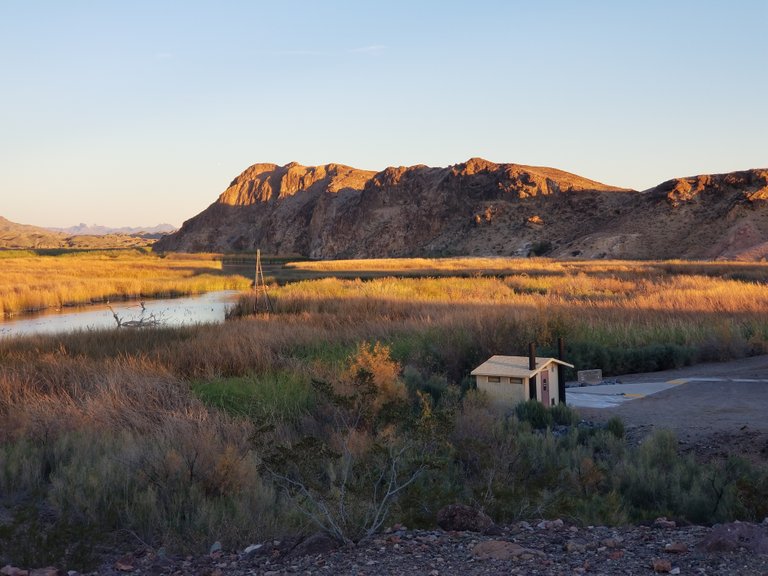
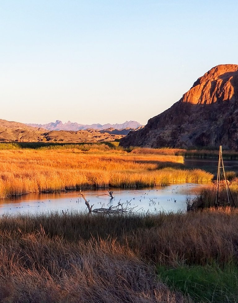
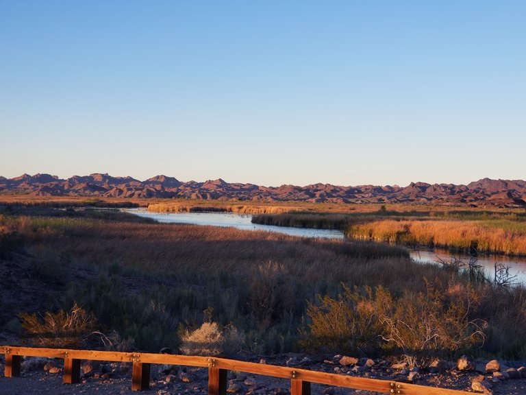
Just when a traveler begins to lose hope of ever rehydrating, the paradise of the Colorado River appears:
Just around the bend, the first of the more remote campsites appears: Taylor Lake.
There are just 4 sites here, and nary a soul was around. Taylor Lake includes 2 vault toilets, and each camping spot has its own shaded picnic table with a fire barrel. We grabbed site 1, and pitched our tent.
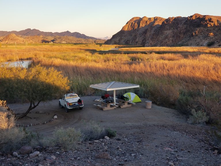 My kind of luxury!
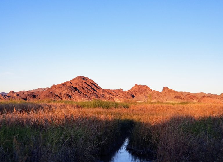 Taylor Lake boat launch is maybe suitable for a kayak at best, due to the overgrown reeds.
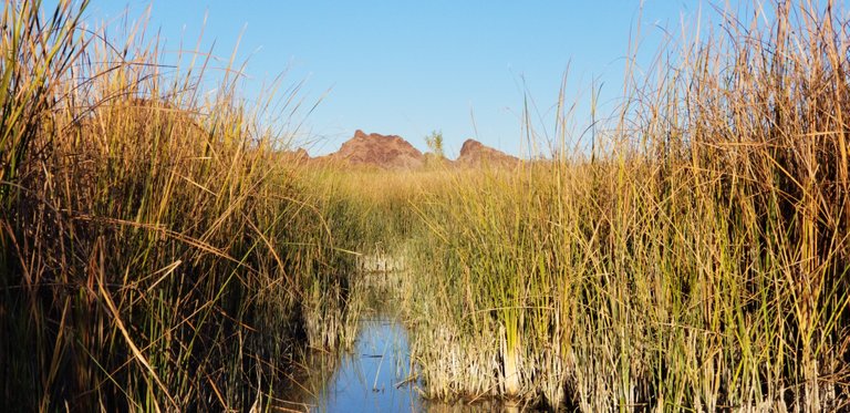 As you can see, the way is a narrow and shallow mud launch, perhaps most suitable for fisherman wearing waders. Be that as it may, the fishing is reputedly trophy quality.
Even though the access to fishable waters is unimproved, the birdwatching is magnificent. I am the most amateur of all wannabe ornithologists, but the rich feathery life here is awe inspiring!
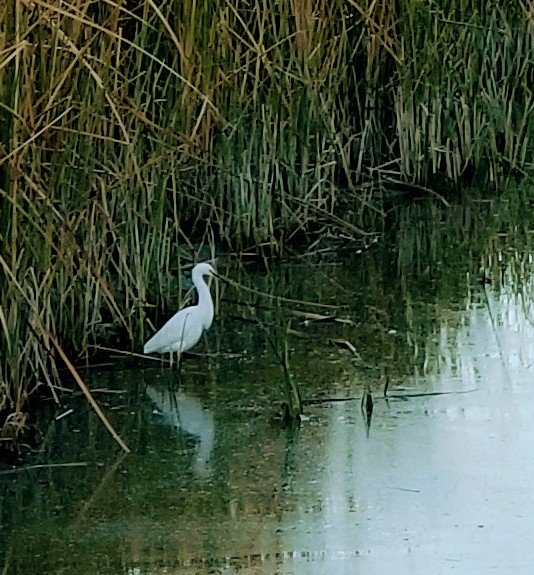 Snowy Egret fares better in the "boat launch" than I ever could!
Here's a video showing the Snowy Egret using its yellow feet as bait to gobble up a big dinner:
The sun set behind us, sinking deeply below the rocky pinnacles behind us.
@mattlovell built a nice fire while I sauteed some veggies, and we settled into our tent for a night filled with a chorus of coyotes and heehawing feral burros.
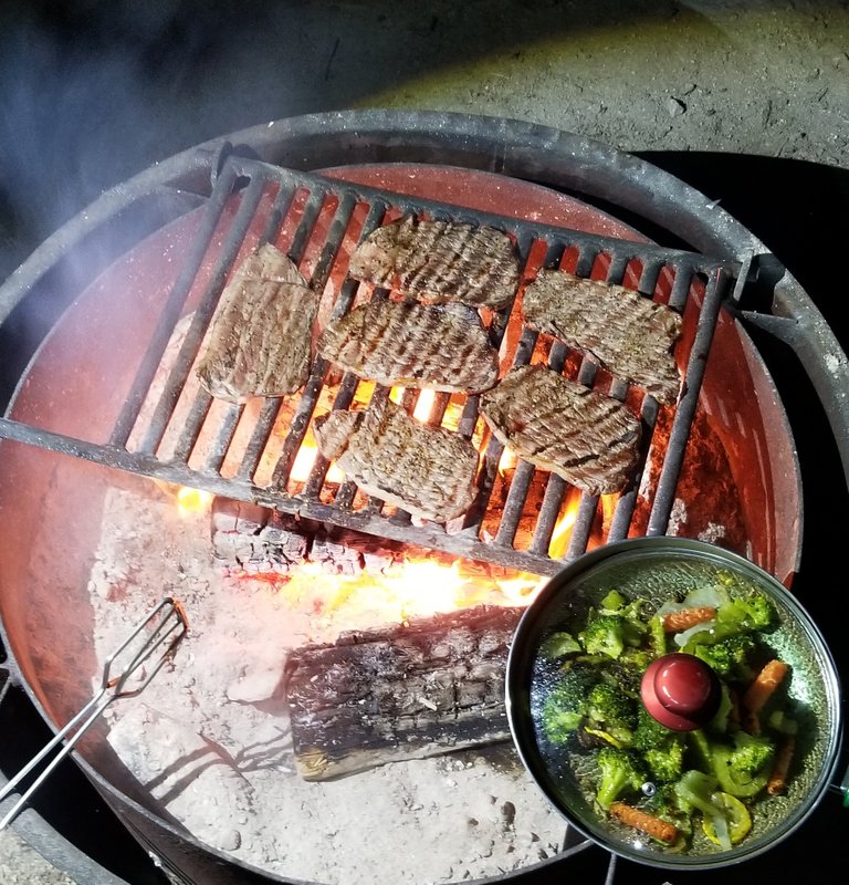 #foodfightfriday steak and sauteed veg over the campfire
Thanks so much for joining me on the first installment of exploring southeastern-most California in the magical Lower Colorado River Valley! See you in Part 2: Picacho SRA to Blythe.
Love,cat
@creationofcare
Part 2 https://steemit.com/mycalifornia/@creationofcare/mycalifornia-lower-colorado-river-valley-pt-2

This post was shared in the Curation Collective Discord community for curators, and upvoted and resteemed by the @c-squared community account after manual review.
@c-squared runs a community witness. Please consider using one of your witness votes on us here
Thank you so much! I really appreciate it!