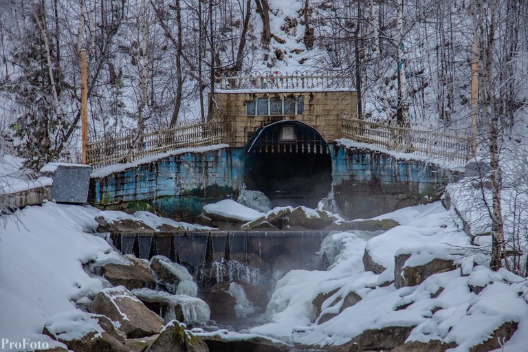
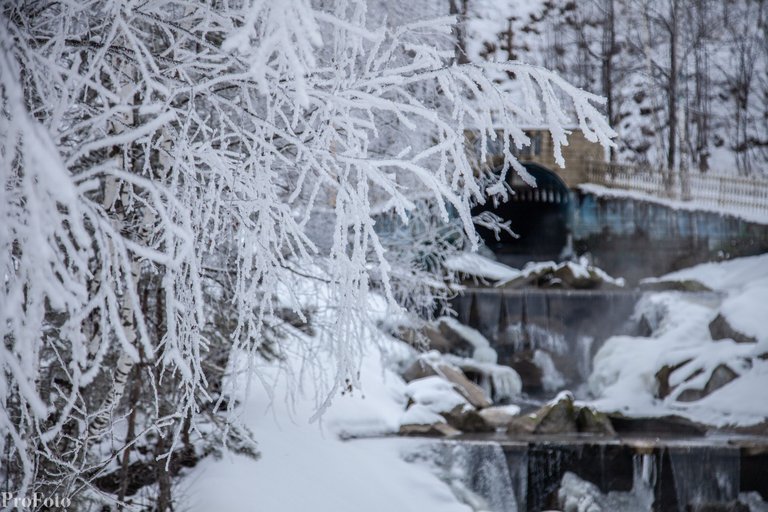
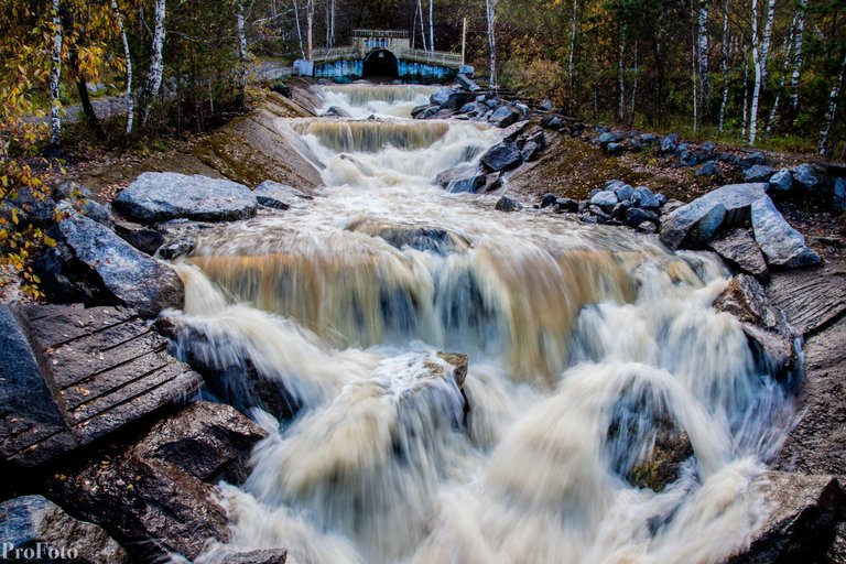
One of the man-made sights of the Satka district of the Chelyabinsk region is the tunnel of the Kamenka river. In the village of Mezhevoy, on the opposite bank of the Ai River, one can see a huge entrance to a man-made tunnel made in the mountain. It was built in 1970 to drain underground waters from the nearby bauxite mines "Kurgazakskaya 1" and "Kurgazakskaya 2"
The very development of fossils began here in the mid-30s. Mainly small quarries were used, practically collecting what lies on the surface. But by 1950, the deposits were explored, and by 1969 the first mines were put into operation. But one of the main obstacles in the extraction of minerals arose - water. Regardless of the depth of the mine, be it a kilometer deep, or at a depth of several meters. Here water began to flow from the largest local watercourse on the surface - the Kamenka River.
They tried to turn the river into a different channel, they tried to erect barriers for water with concrete, but all these measures did not give the desired result. Then they approached the decision cardinally and on a grand scale. In the mountain range, long before the river entered the mining zone, a water tunnel, a new underground channel, was made. The tunnel turned out to be long, about 4 kilometers long.
But in the end, nature won. By the early 2000s, due to the rise in the cost of electricity, the cost of pumping water out of mines was about half of the cost of production. Despite the reserves of high-quality ores - in 2002 the mines were closed. After the closure of the mines, they stopped pumping out water, and now they are completely flooded. Only this tunnel remained in the "free" access.
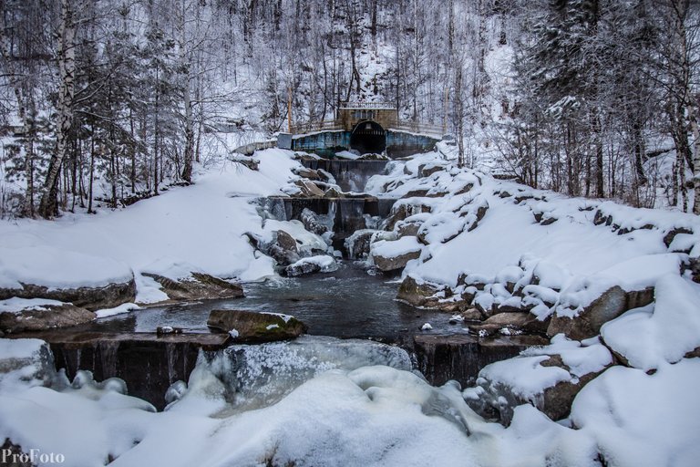
In 2010-2011, the place where the river emerges was ennobled. They built a bridge, made a small fountain, walking areas. Now wedding corteges come here for photo sessions. And tourists love to come to this attraction.
The largest flow of water from the tunnel in the spring. In summer, depending on the weather, the river can turn into a small stream
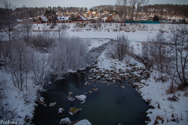
55.154569, 58.806735 - Location coordinates
Sometimes man cannot control nature.
It does make for nice photos though.