Since the beginning of my time camping in a forested canyon in the foothills of the Santa Rita Mountains, I was interested in climbing Mount Wrightson, the tallest peak in this little ‘sky island’ range of southern Arizona, and finally set out to do just that on Sunday - yesterday. The hike up from the west side of the Santa Ritas where I first camped upon my arrival to the area in early February was way too long to entice me, and despite still being a long hike in from the east side, it seemed much more doable, so I finally took my opportunity. Dakota was especially ready for a long hike, as she’d been stuck in the car much of the day Saturday as I ran errands in town and utilized the good cell service of civilization to upload a video to my channels and put together a quick blog post on my time in these forests.
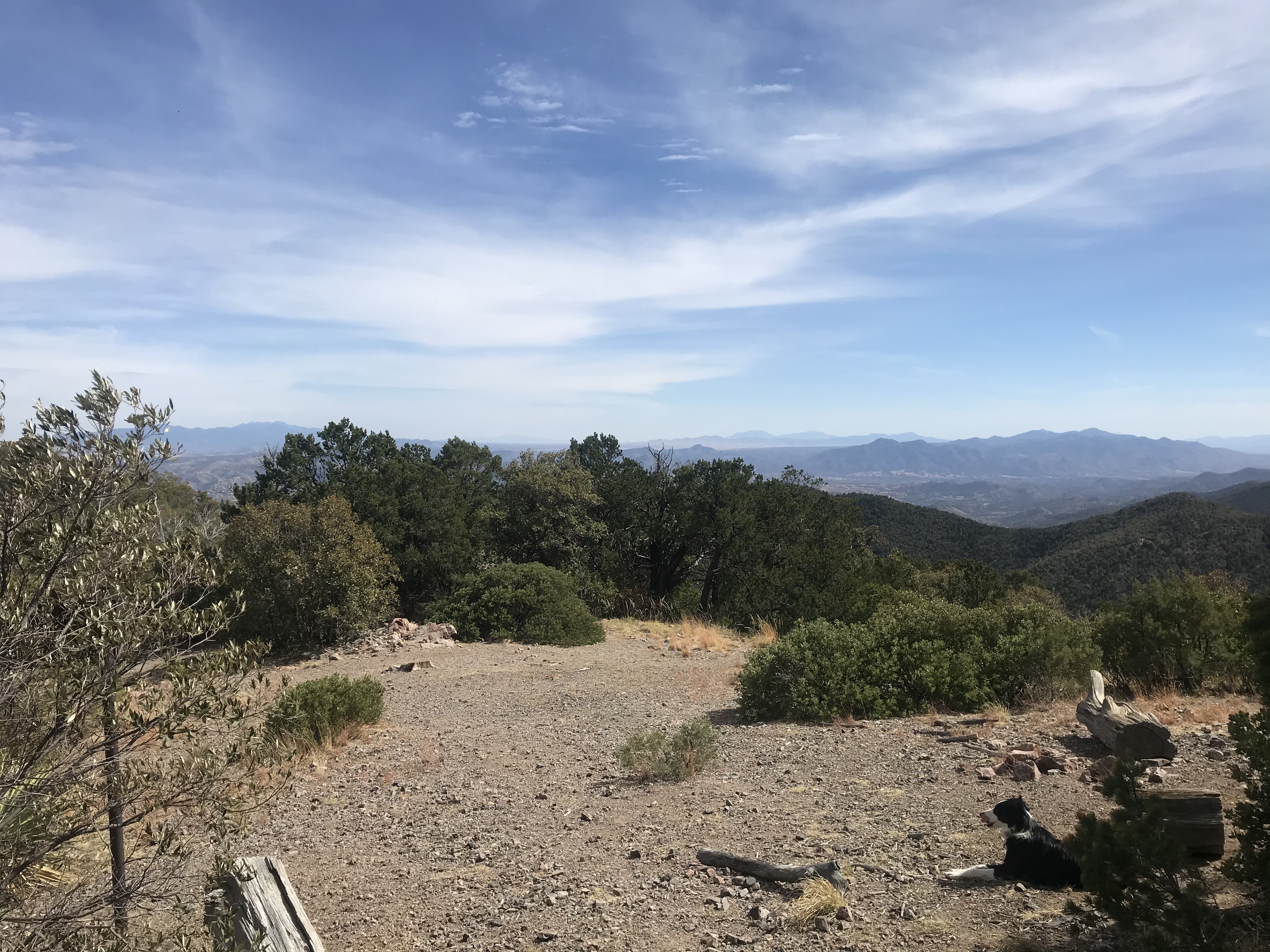
Knowing what a long hike I was in for, I still managed to somehow get a bit of a late start at a little after 11am, following a slow and relaxing morning of breakfast and preparation, a good hour later than I would have liked to have departed at the latest :)
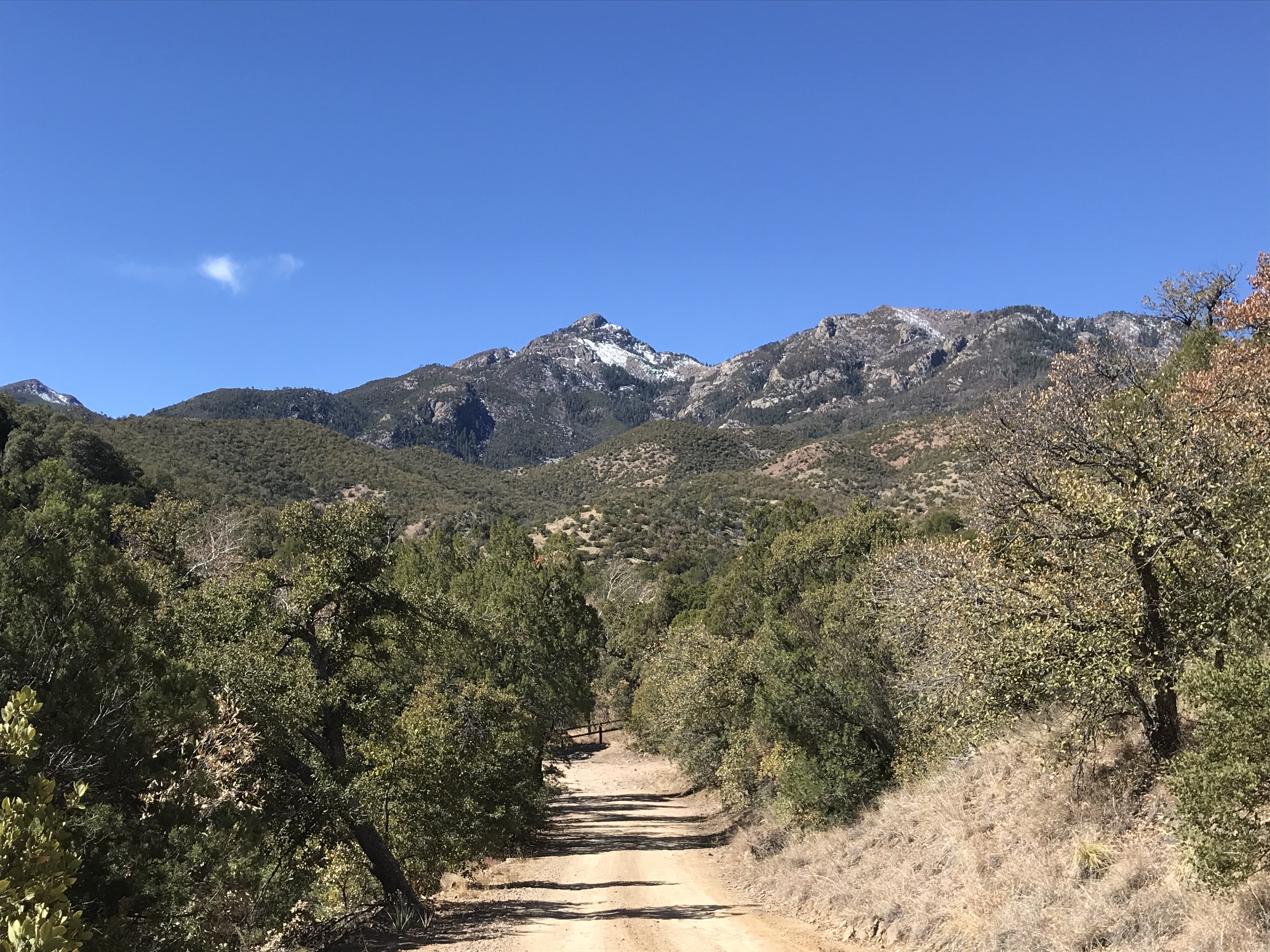
The peak itself is surrounded by a large wilderness area with only foot and horse travel permitted, but much of the approach was outside the wilderness and so I was able to take the mountain bike for the first several miles, which really saved a lot of time, especially on the way down. By my estimation, the total hike was about 7.5 miles one way, for a total of 14-15 miles round trip, so it would be a long day. First mile down the road from my campsite to the trailhead was really quick, and then there was a steep half mile hike up to a trail junction that marked the beginning of the non motorized trail, the first high point sporting some really nice views of the Huacha range to the southeast .
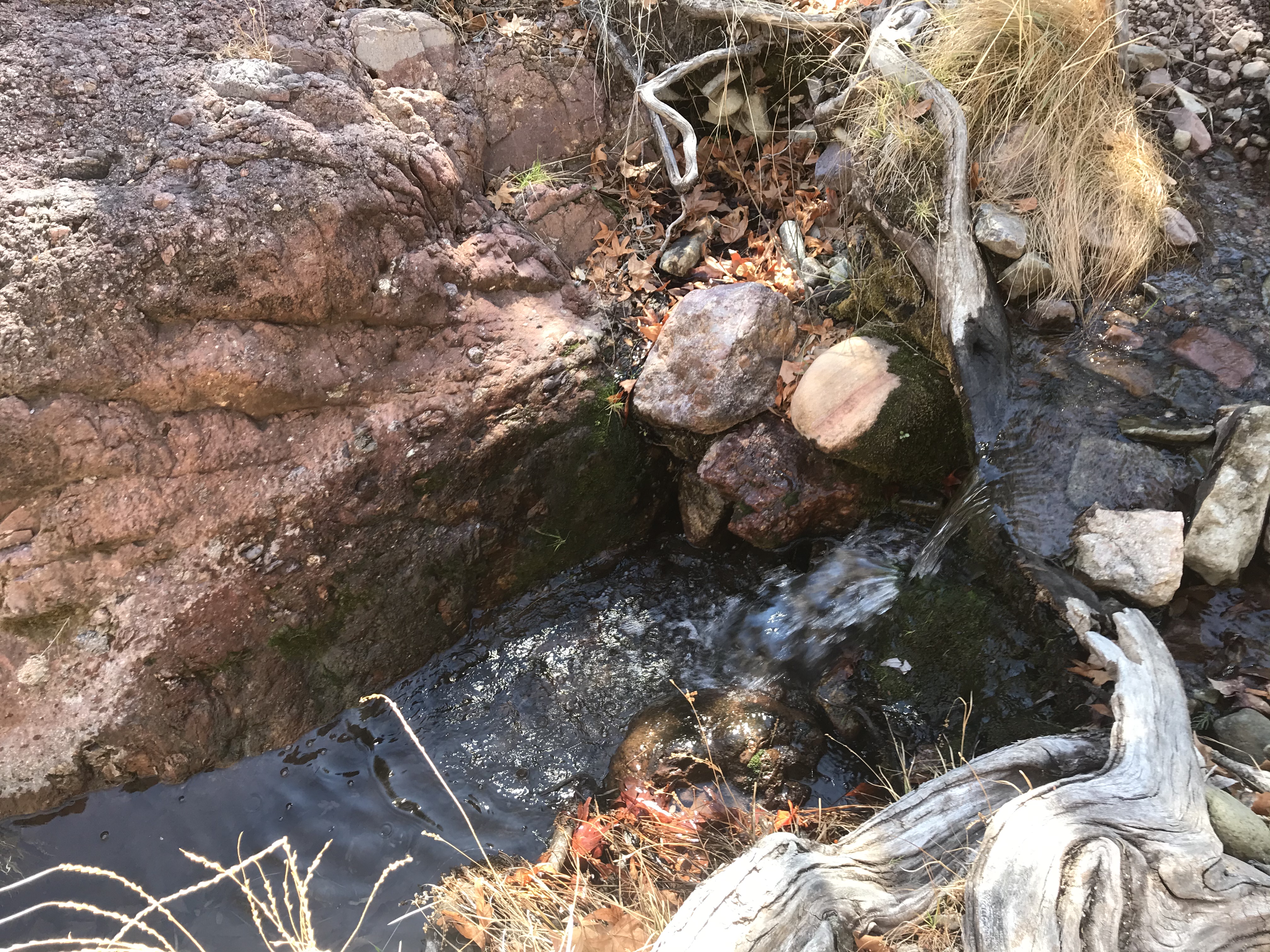
Gorgeous mini-waterfall at one of the early creek crossings in the woods:
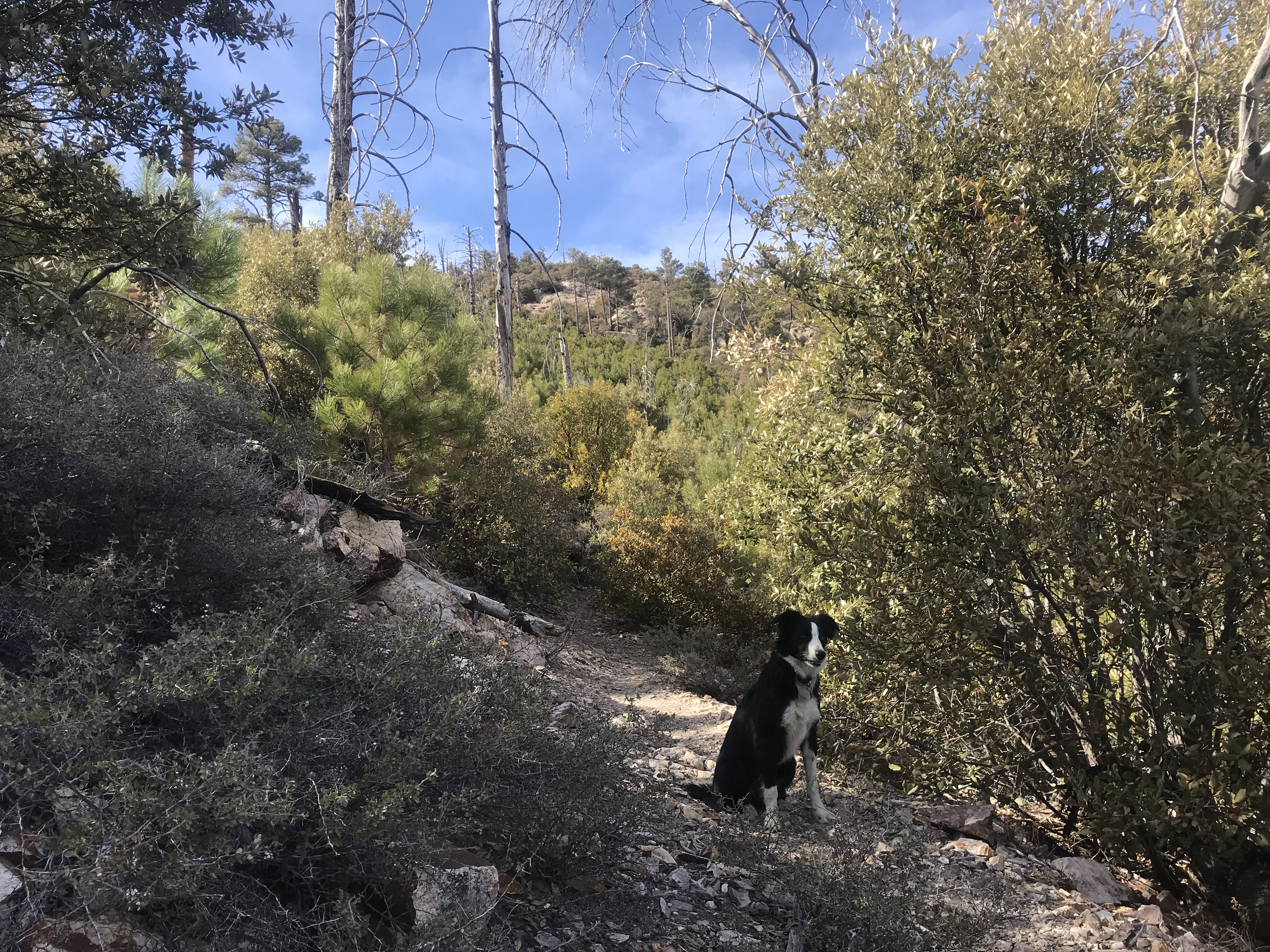
After walking my bike up the steep switchbacks, the next mile or so to the wilderness boundary was pretty quick riding across flat to moderately sloped terrain. And here is where the real adventure begins, after I stash my bike in the trees and ditch the helmet.
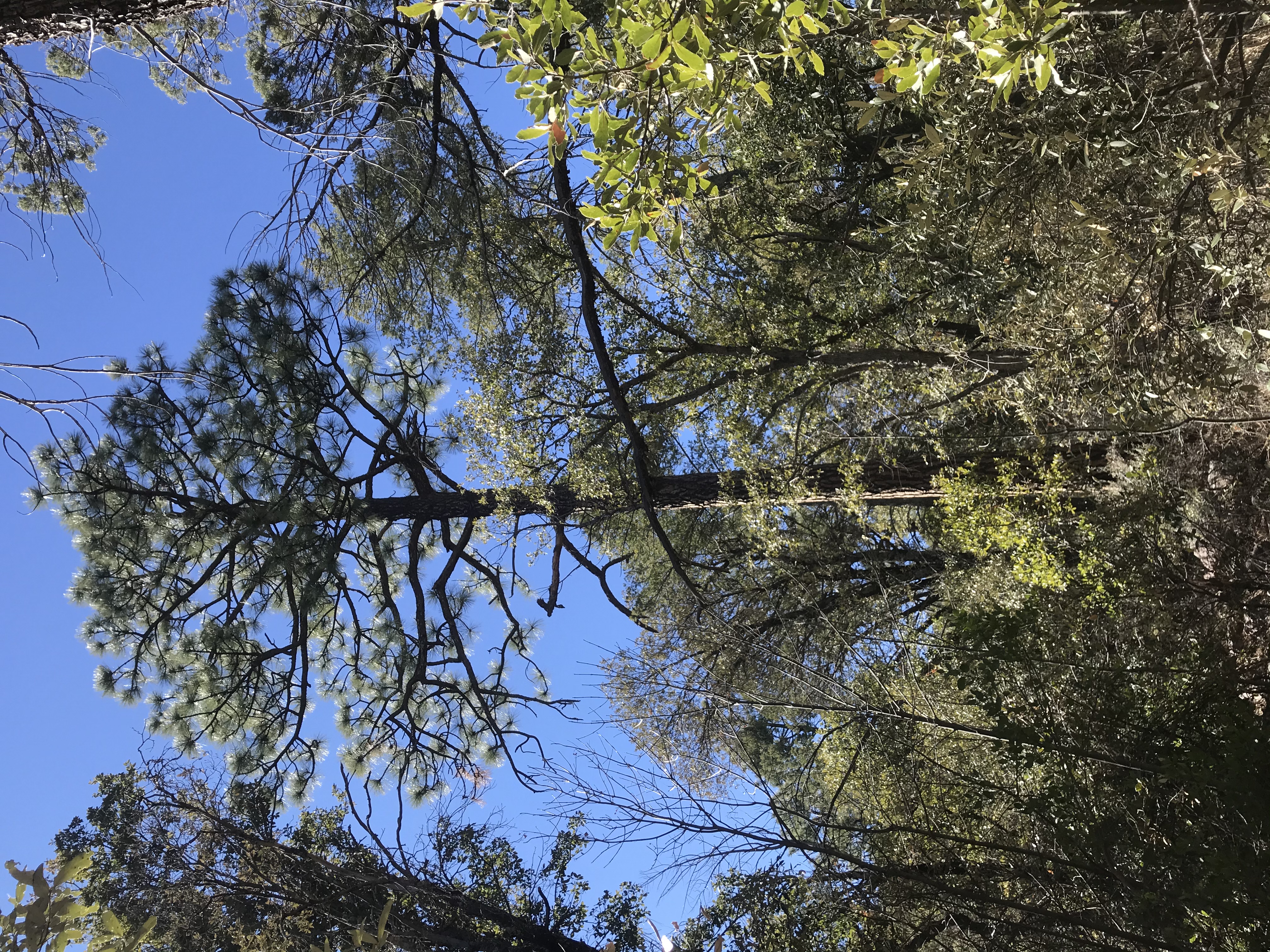
Already the scenery is changing, with tall pine trees taking over as the dominant forest feature.
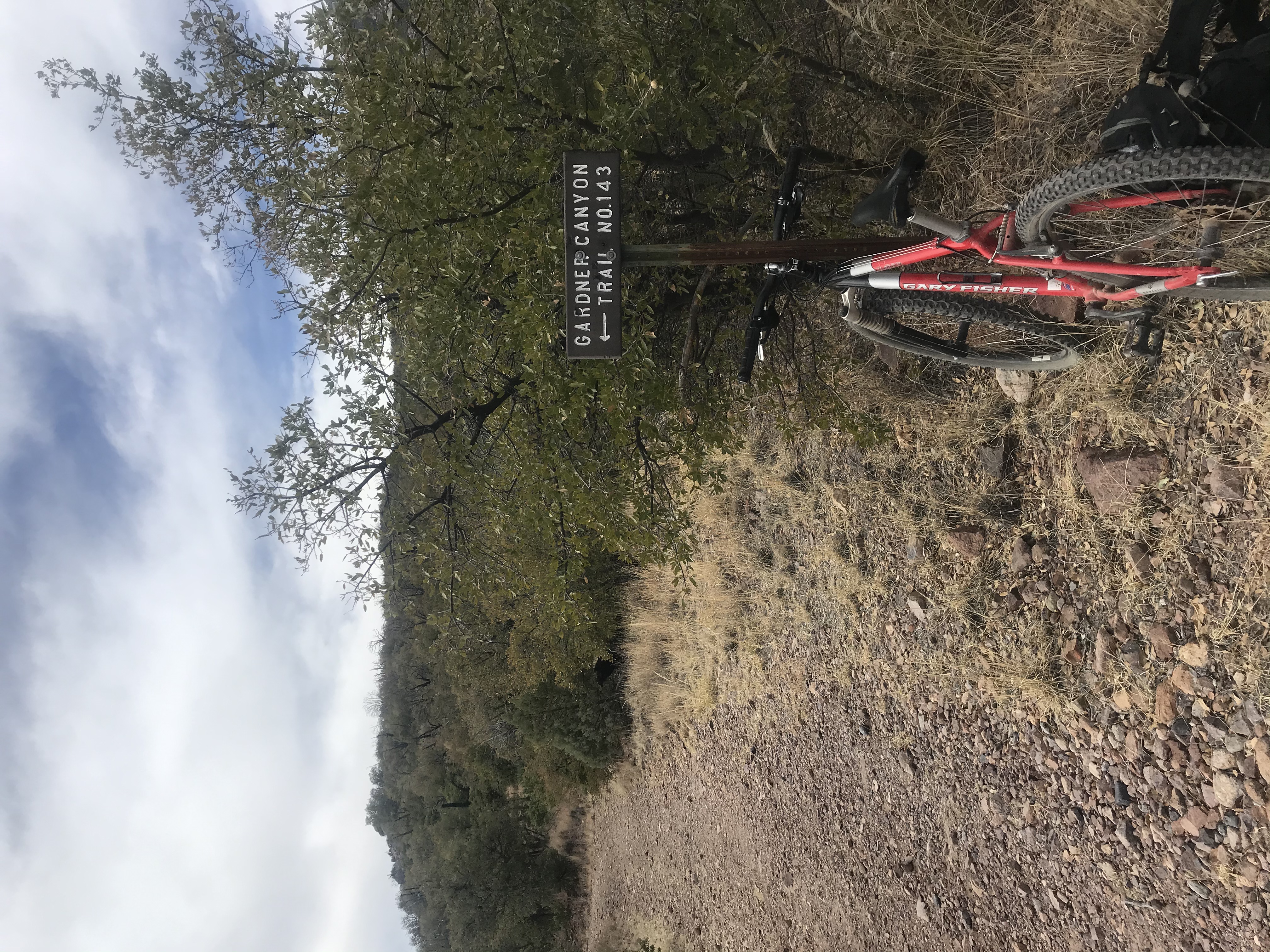
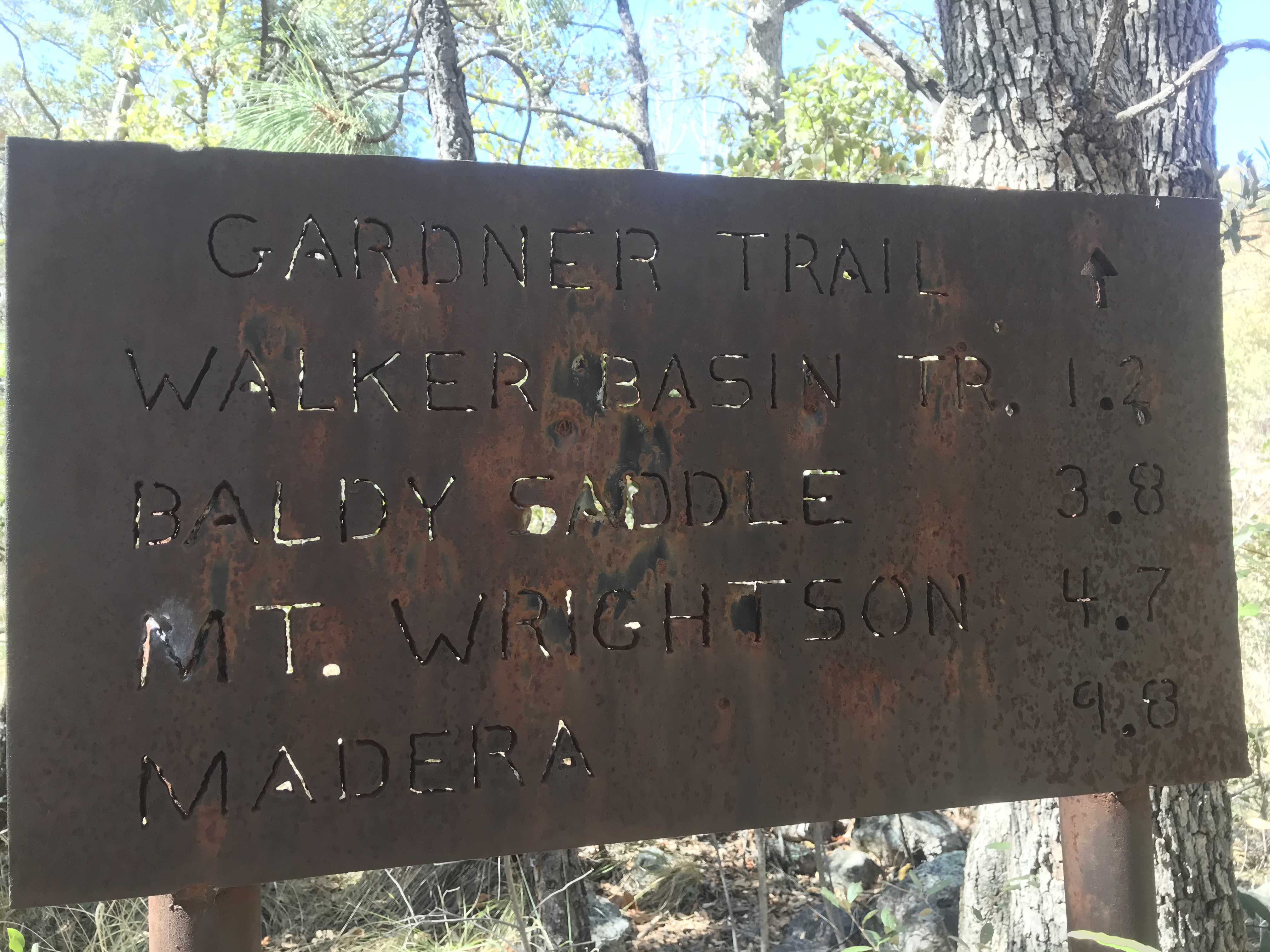
From here it is 3.7 miles to the saddle and 4.8 miles to the summit.
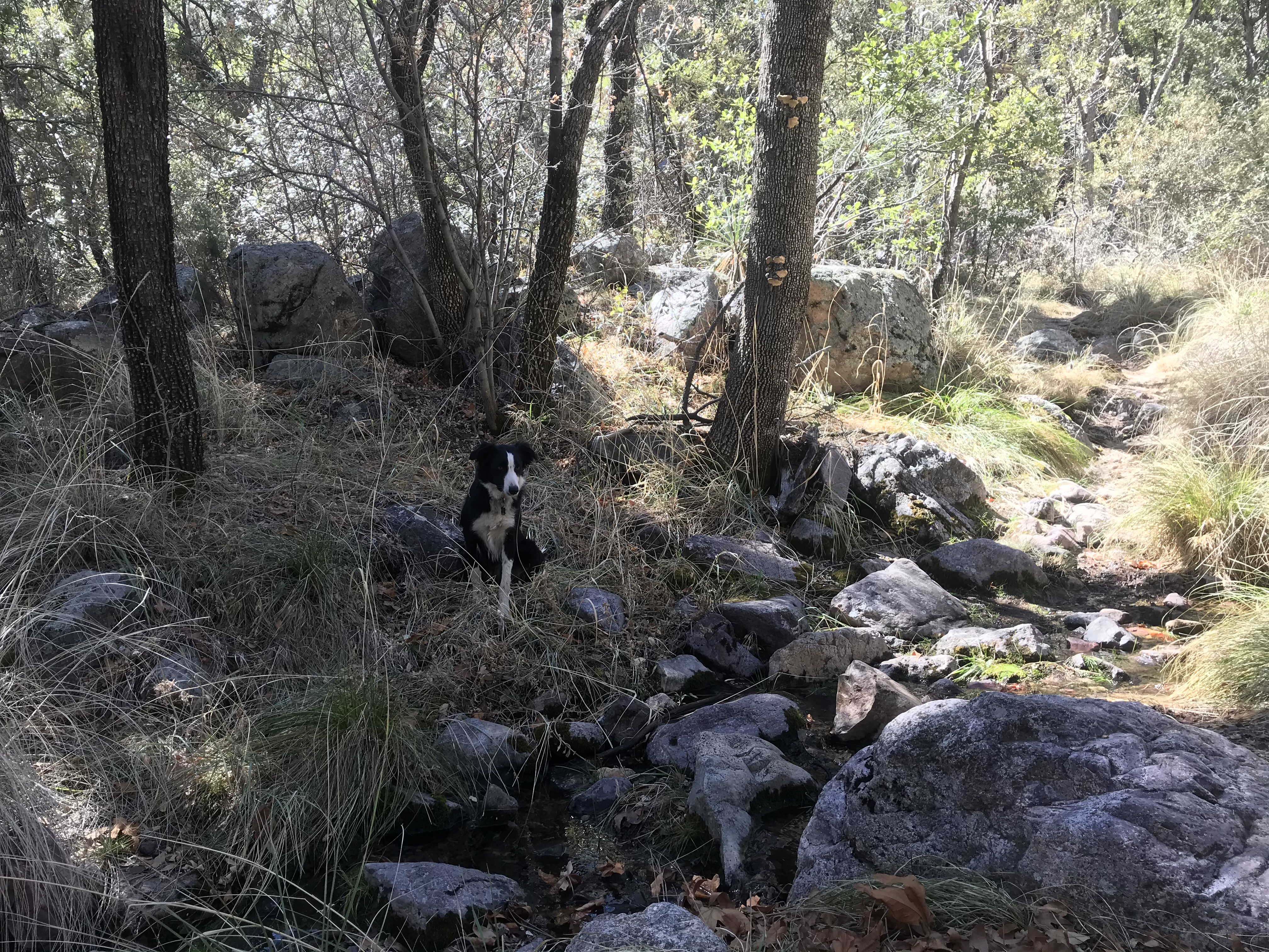
I make sure Dakota drinks up from the creek before a potential long stretch of dry hiking until we hit the snow line.
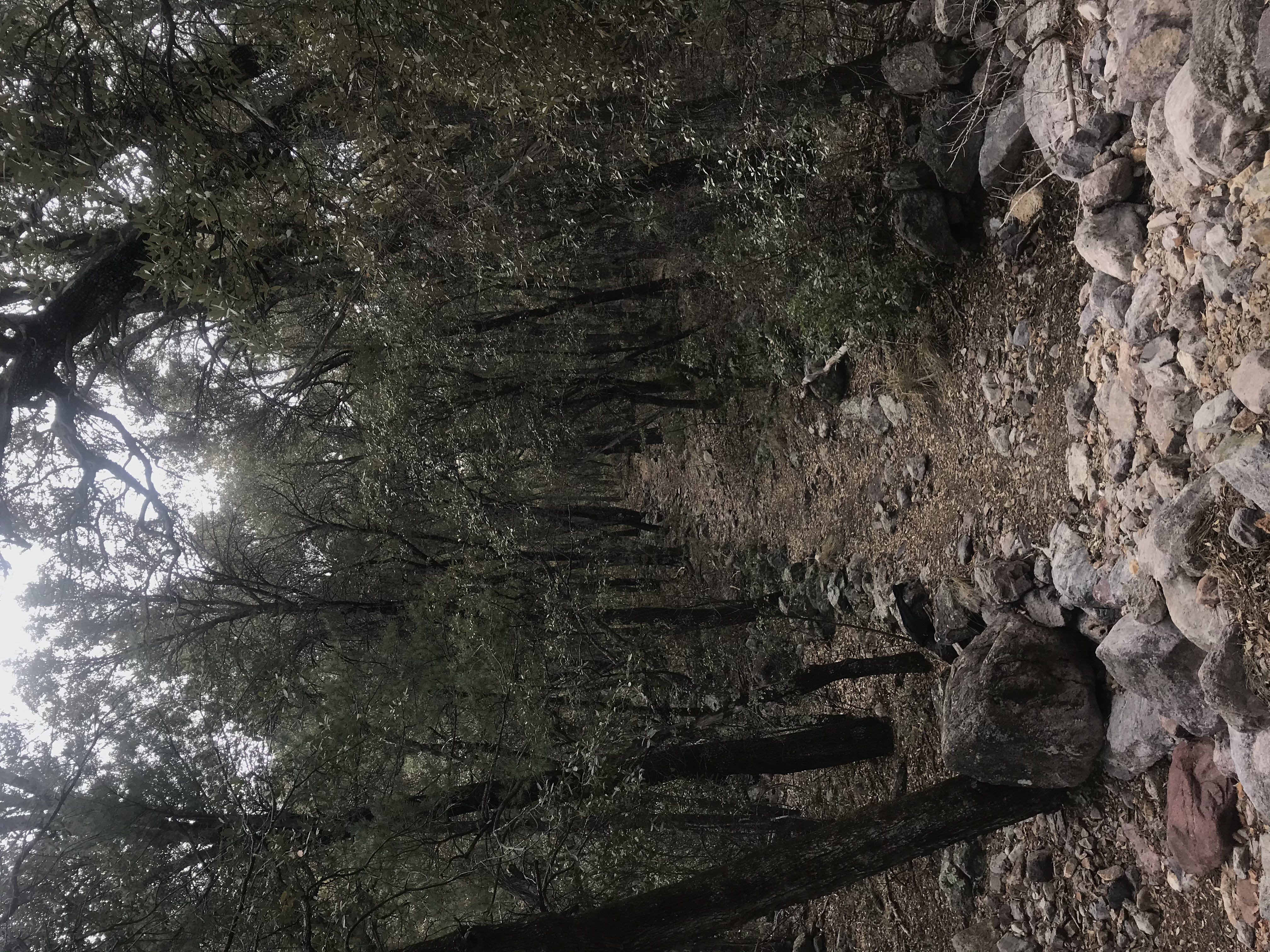
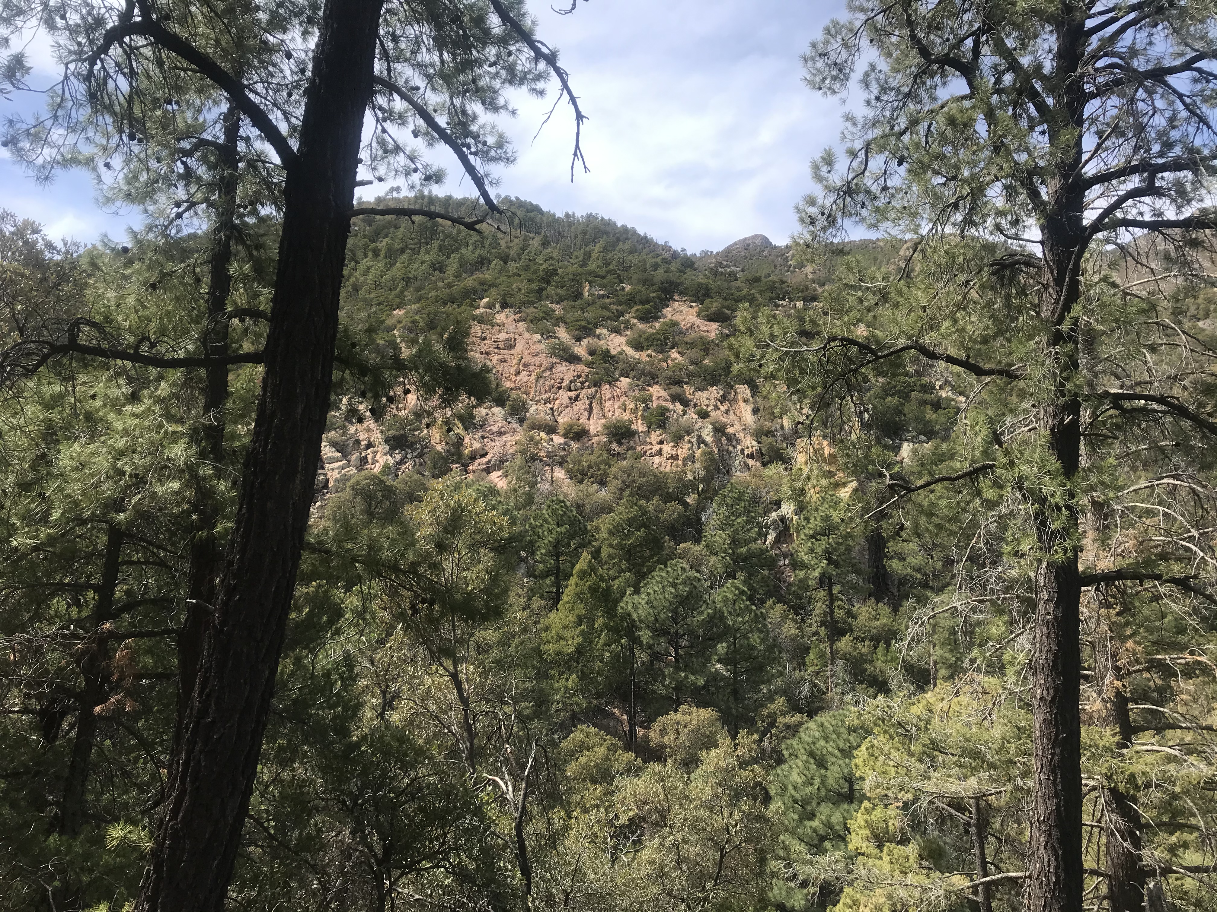
At first the hiking is fairly flat and easy up the canyon, and the forest really beautiful and enchanting, with the forest canopy creating a dark tunnel for the trail to pass through.
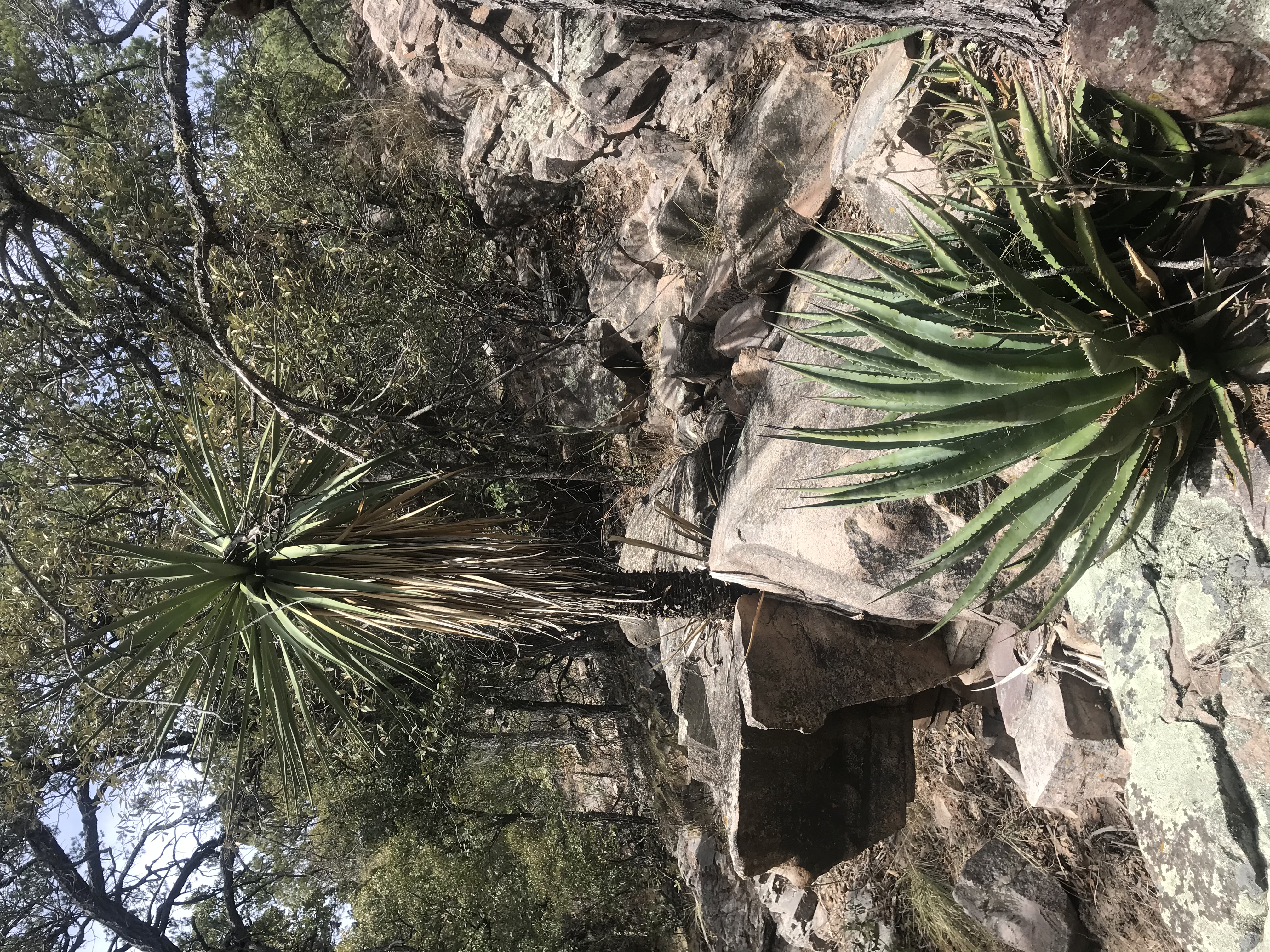
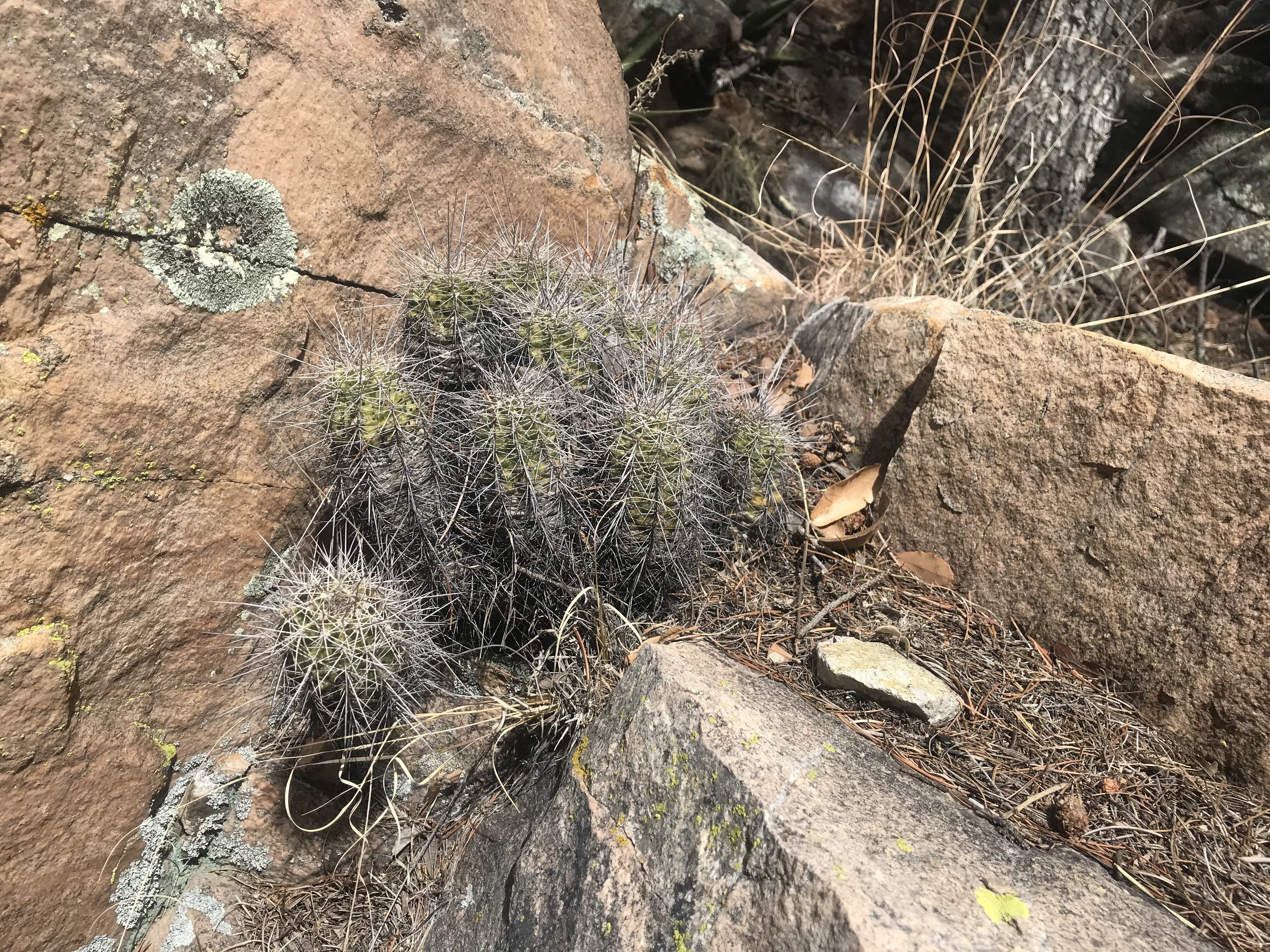
The easy going was short lived, however, as a long climb up a series of switchbacks up a tall mountainside ensued. I was impressed with one yucca plant literally growing right out of a boulder, encased by rock - that really caught my attention - and when I stopped to take a picture of it I noticed a tiny cactus plant growing below it on the same rock formation, a cactus type I hadn’t yet seen around these parts.
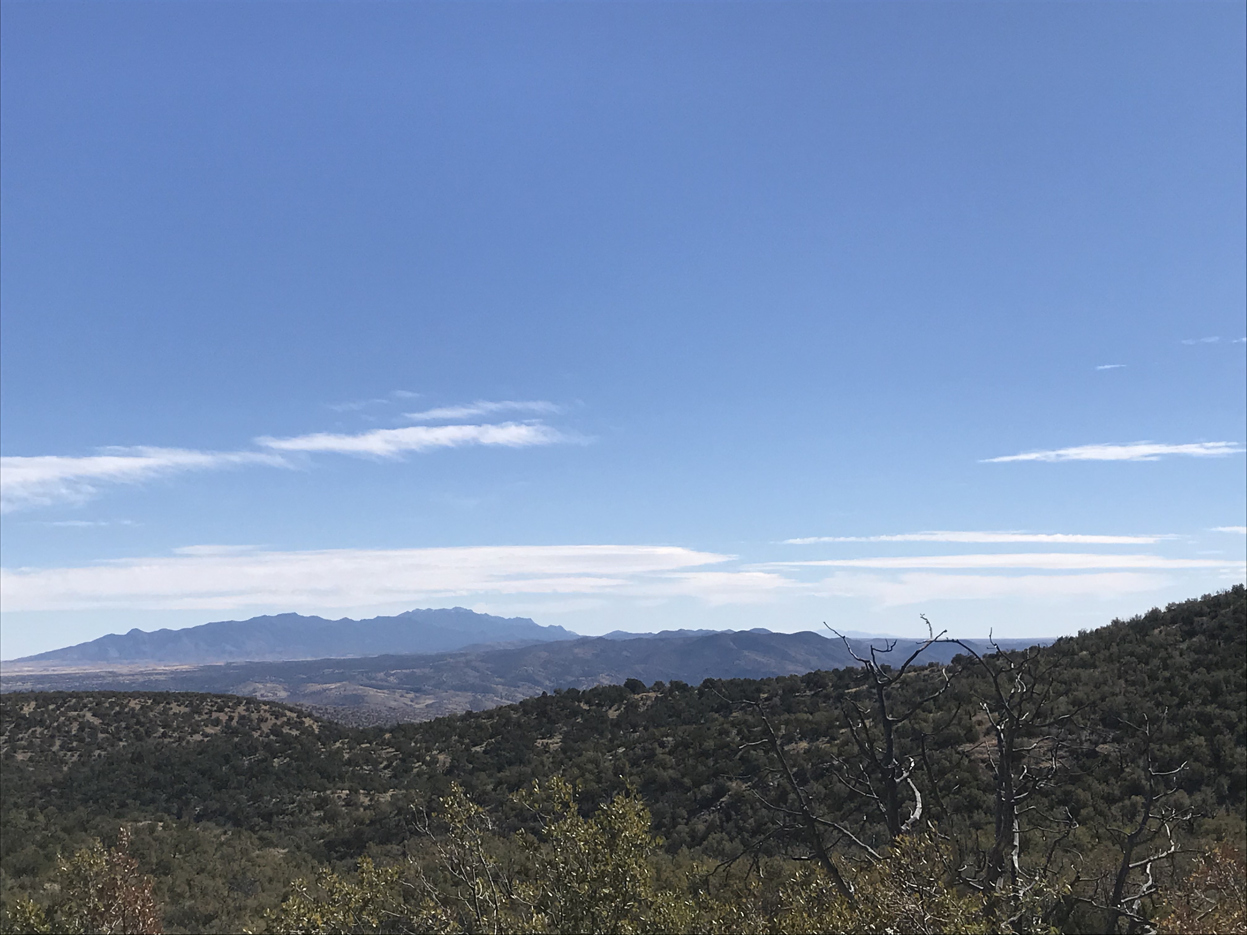
As we climbed higher, the views across the canyon in the direction we would eventually be heading began to open up, and there was a really scenic red rock canyon wall I just had to stop to photograph...
Finally we reach another ridgeline and the trail flattens out for awhile again, but it was a great place to take a lunch break before continuing onwards.
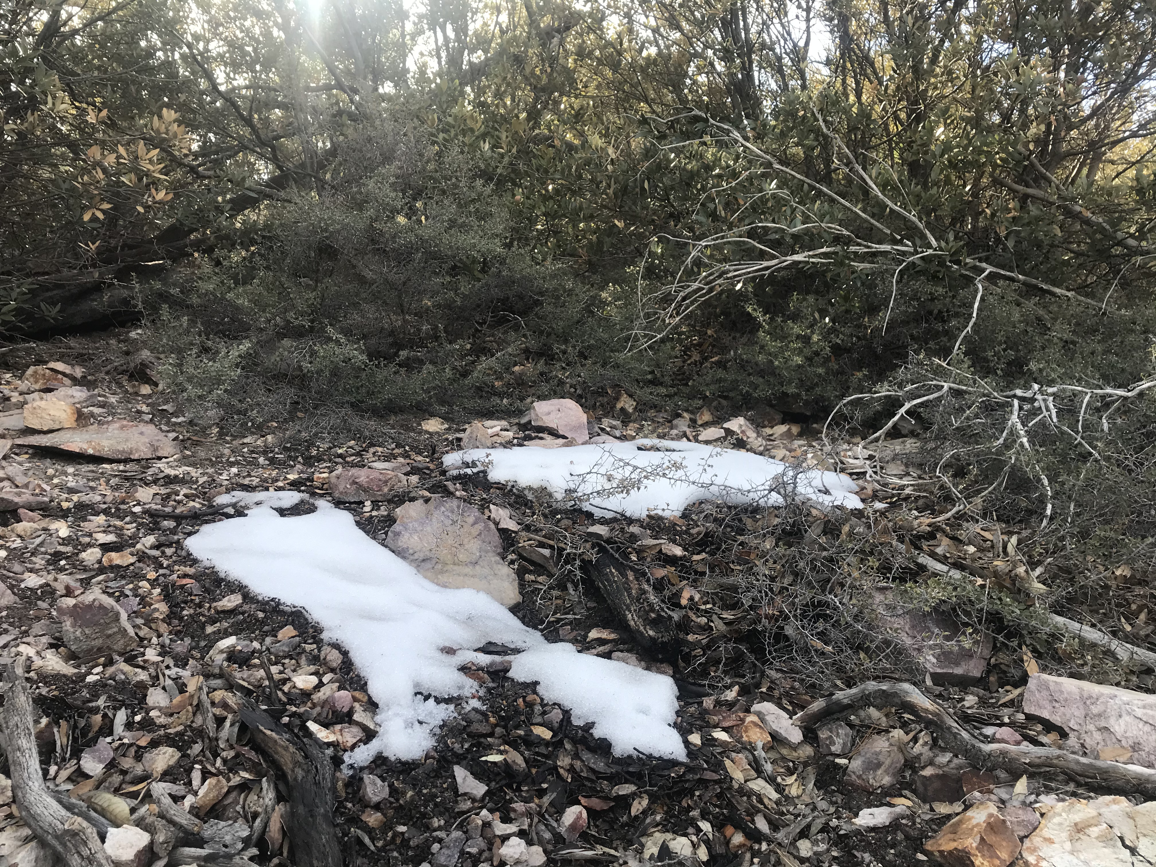
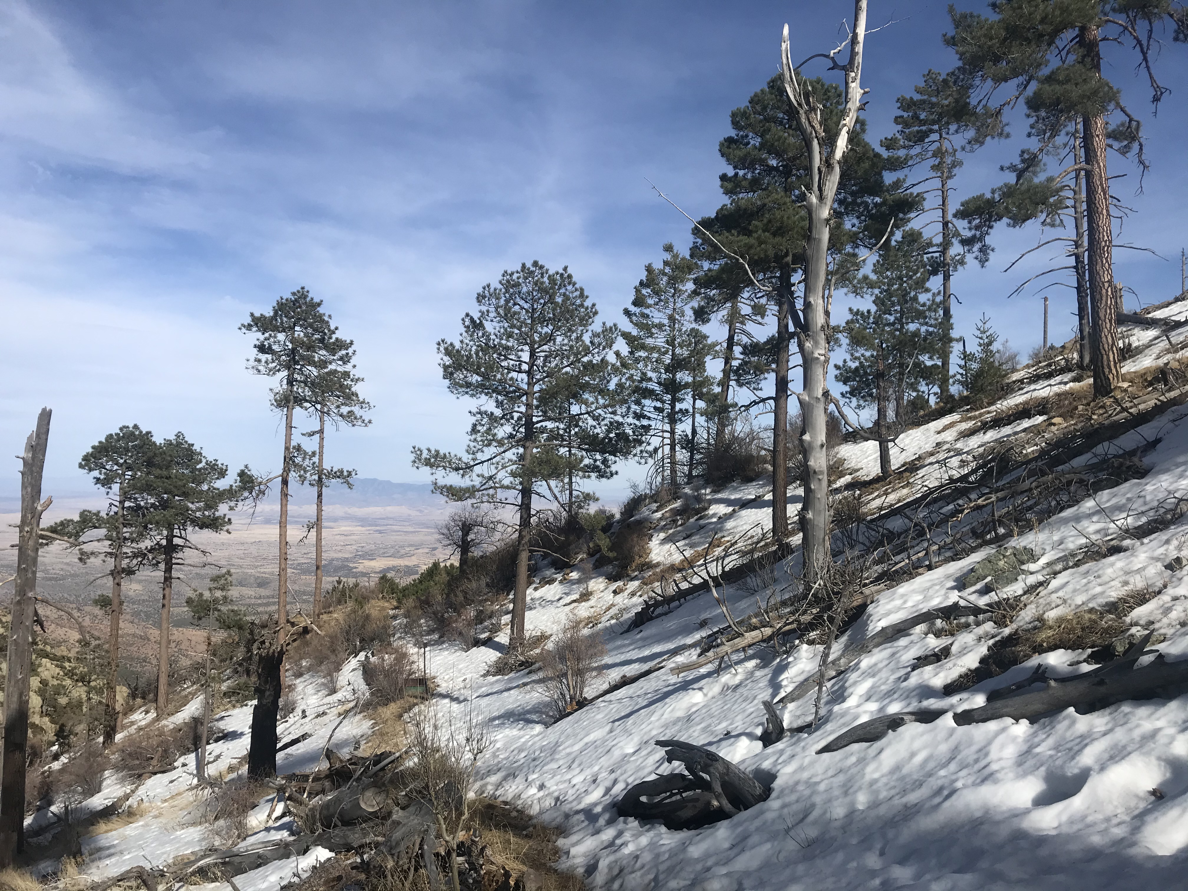
After food and some rest, I was also grateful for the easier hiking, still mostly shady, and it was along this stretch where we encountered our first snow patch, a sign we had really gained a lot of elevation, as alpine conditions (above tree line) also became more common.
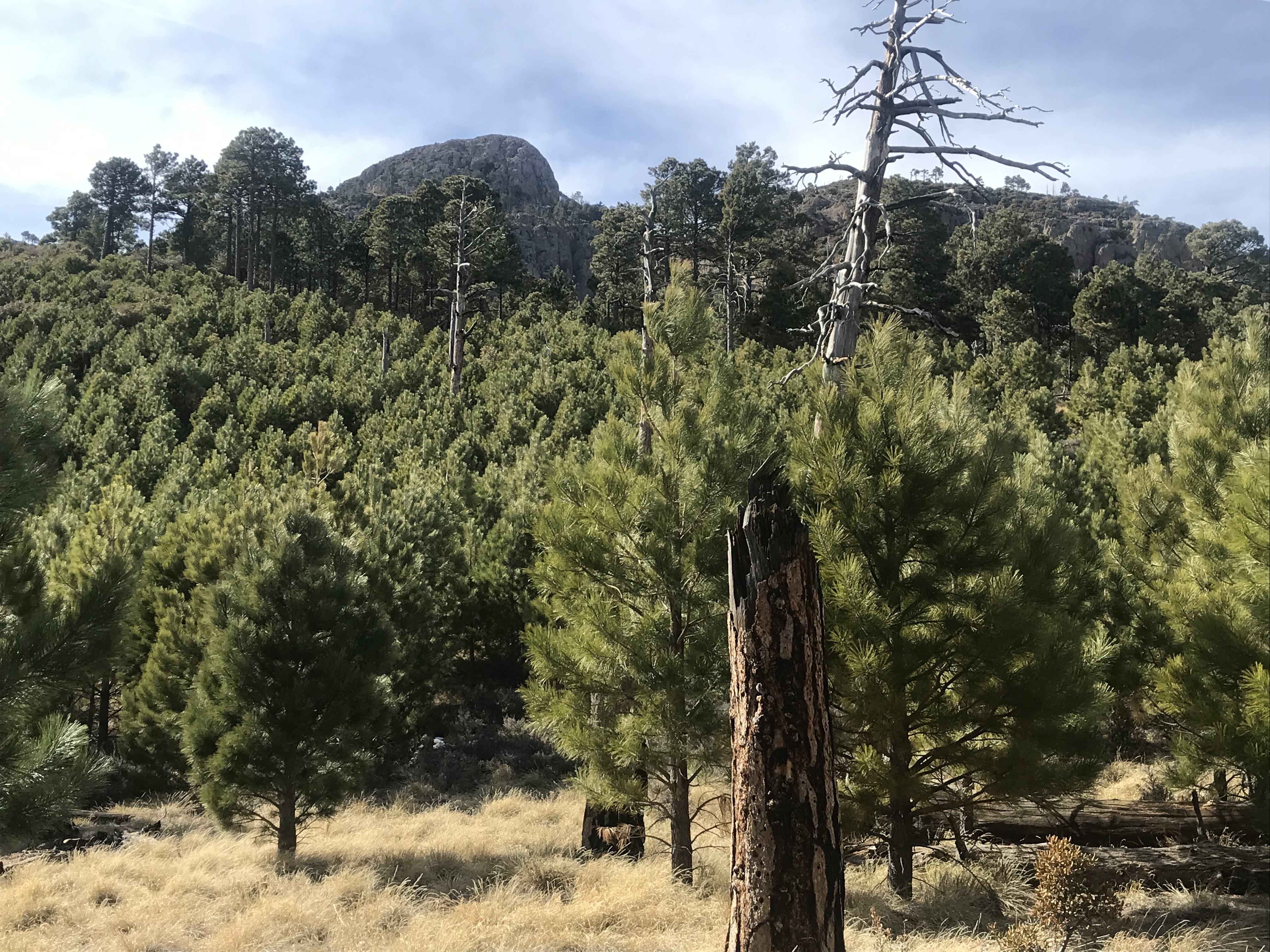
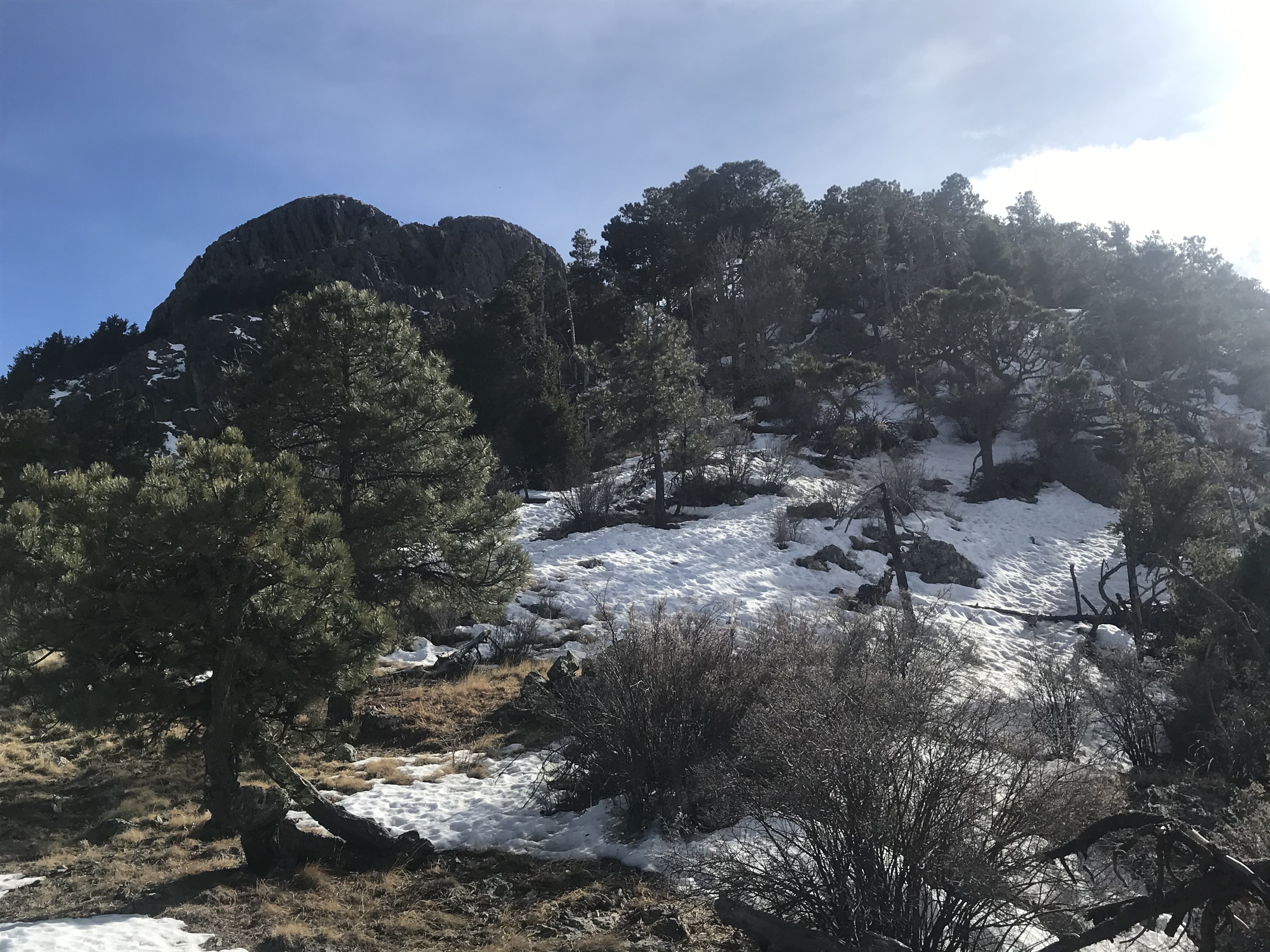
Then before I knew it, we popped out into a gorgeous little meadow surrounded by thick pine forest, the place to camp if one were backpacking, and also the first view of the mighty mountain since entering the thick forests of the wilderness area far down below.

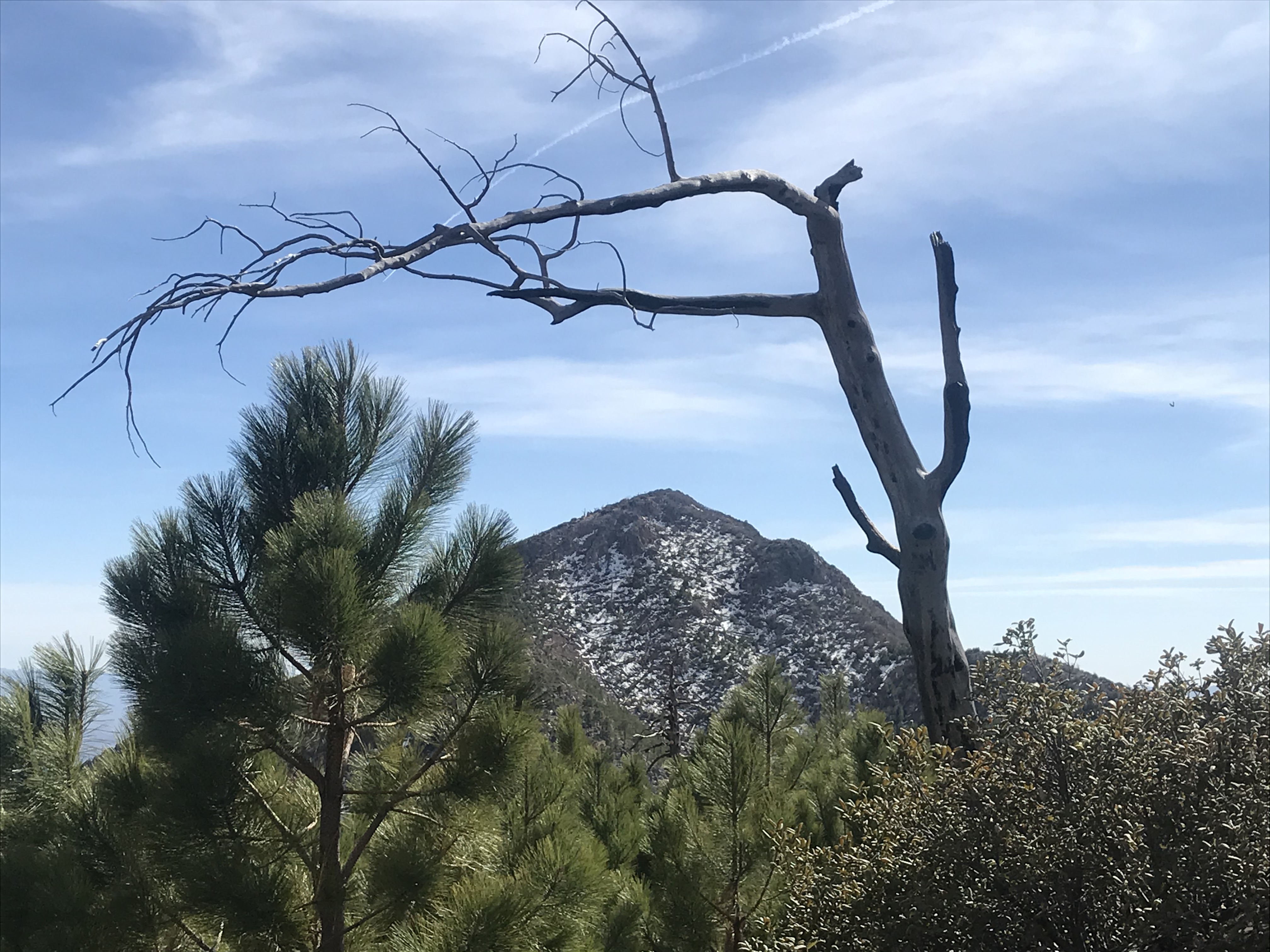
Looking across a saddle, not the one we were headed to, at a neighboring snow-capped peak to the south:
And then it was back into the forests for the steady climb up towards the saddle, thankfully not too steep. As the trees thinned the higher we climbed, there were some great views down into the thickly wooded canyon below, but I was really moving, and taking time off from the frequent stops for photos...
And then the fun began, as we had to cross several bigger snowfields a bit higher on the north slopes before the final hike across to the saddle. Here the views back down the canyon were amazing, and I was impressed with how deep the snowpack was in places, considering how fast it had been melting over the past few days. Apparently there had been over two feet of snow up here from the big late January snowstorm (and any previous snow there may have been).
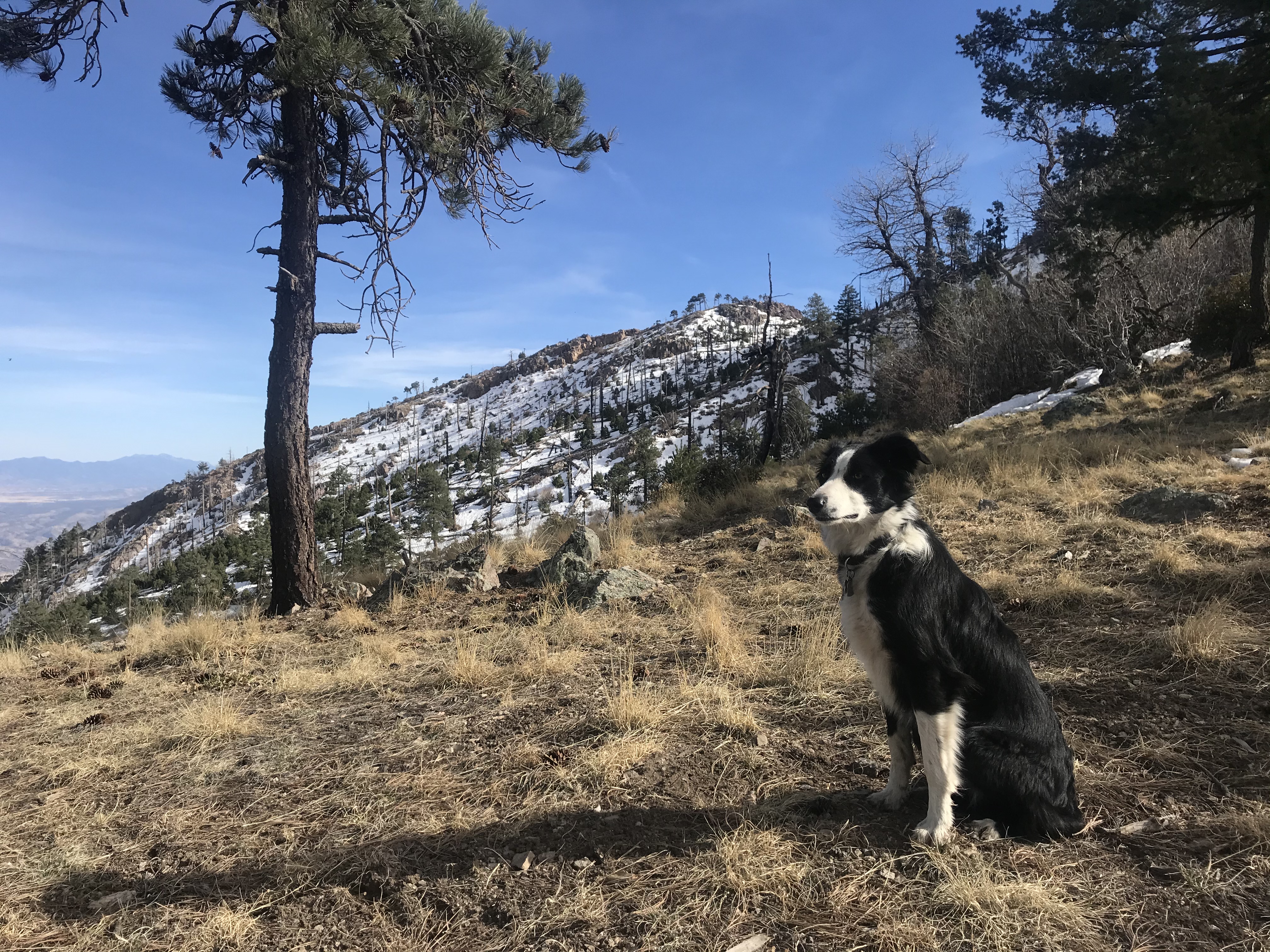
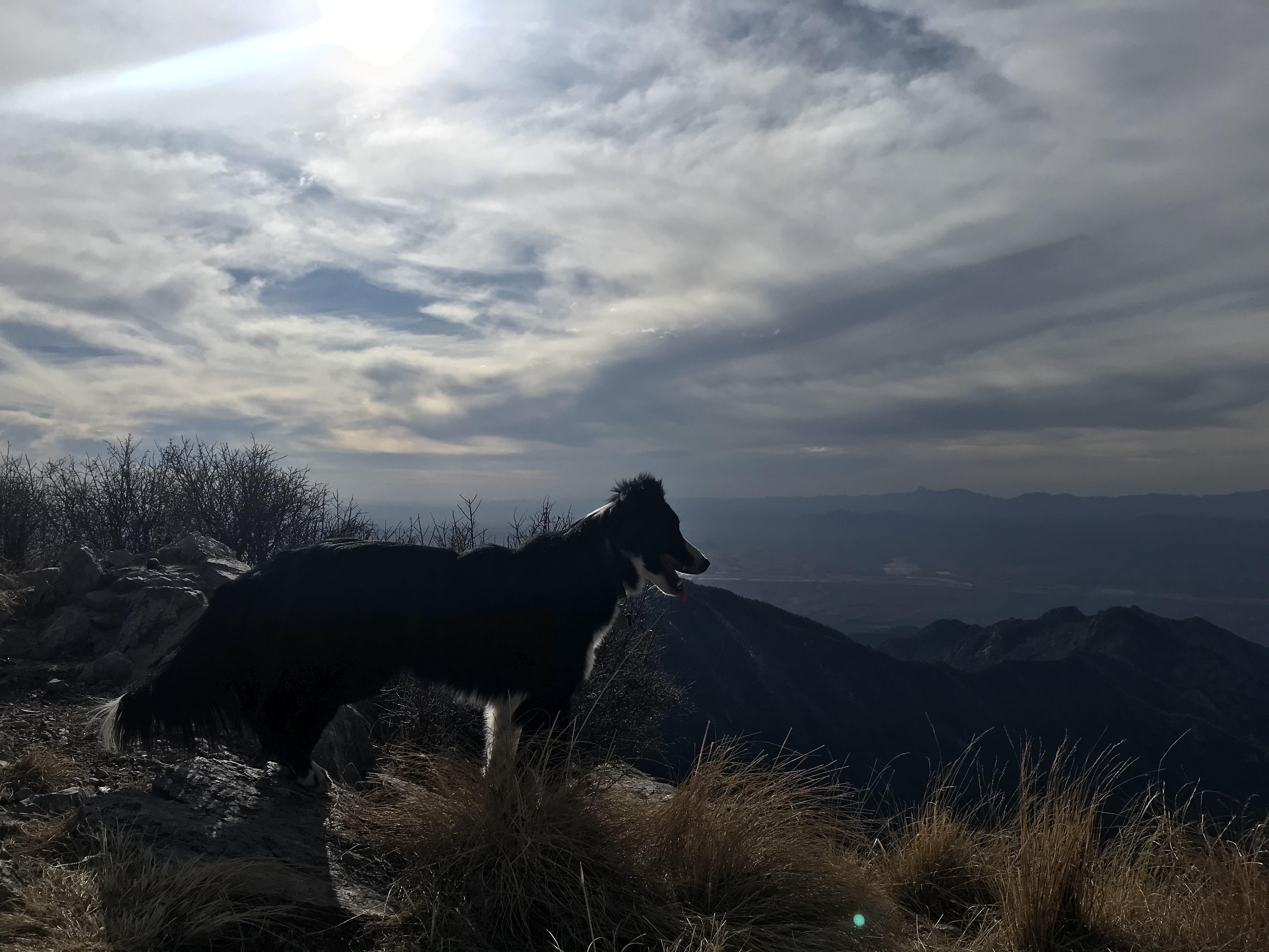
Crossing the snowfields was slower going, but after that we were at the pass in no time, and the views here were spectacular in all directions, especially up at the peak!

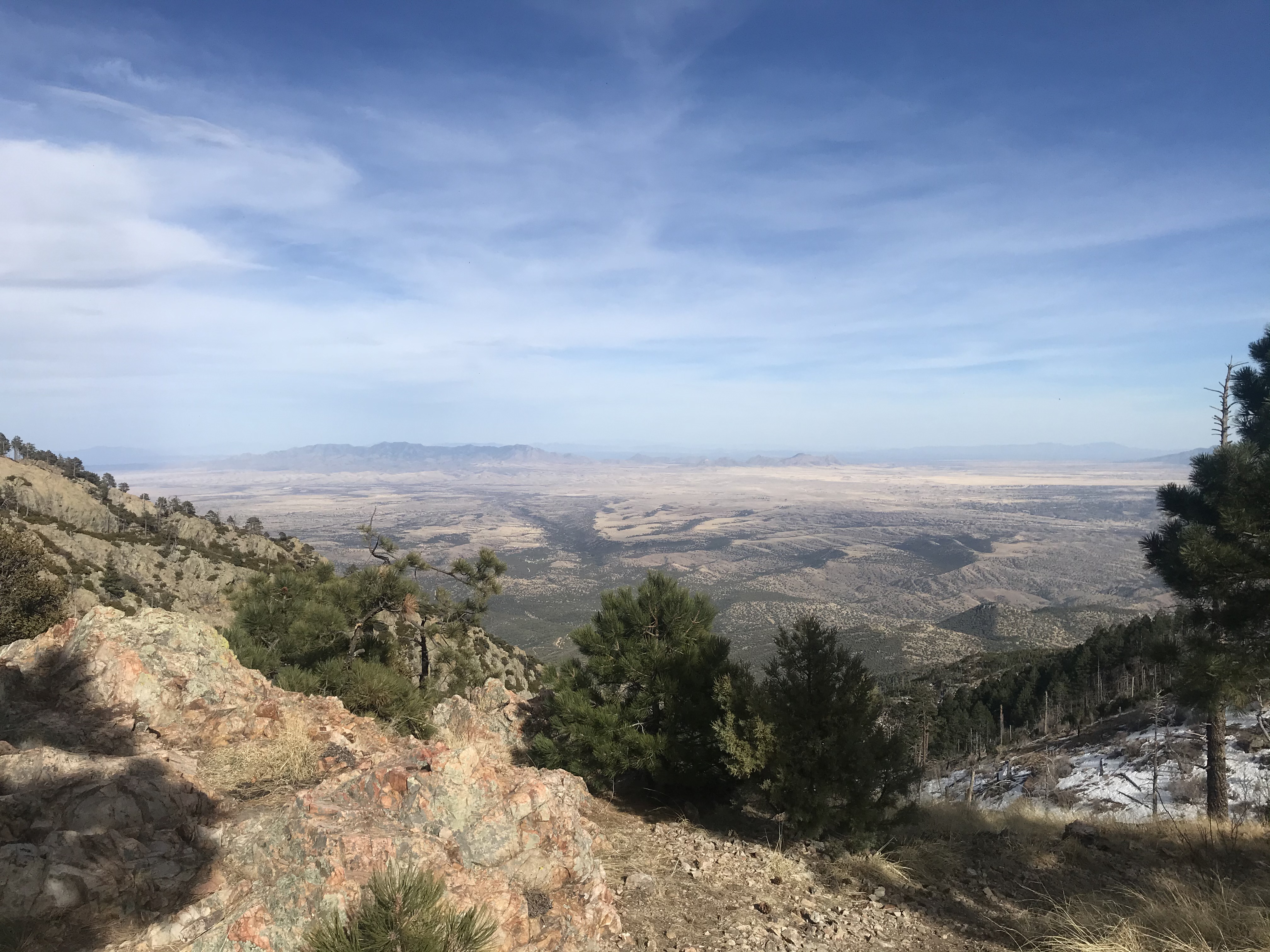
First glimpse to the west again, looking down into Green Valley and beyond, far below, where I had, somewhere down there at the base of the mountains above Green Valley, camped for the first week of February. Also spectacular views...
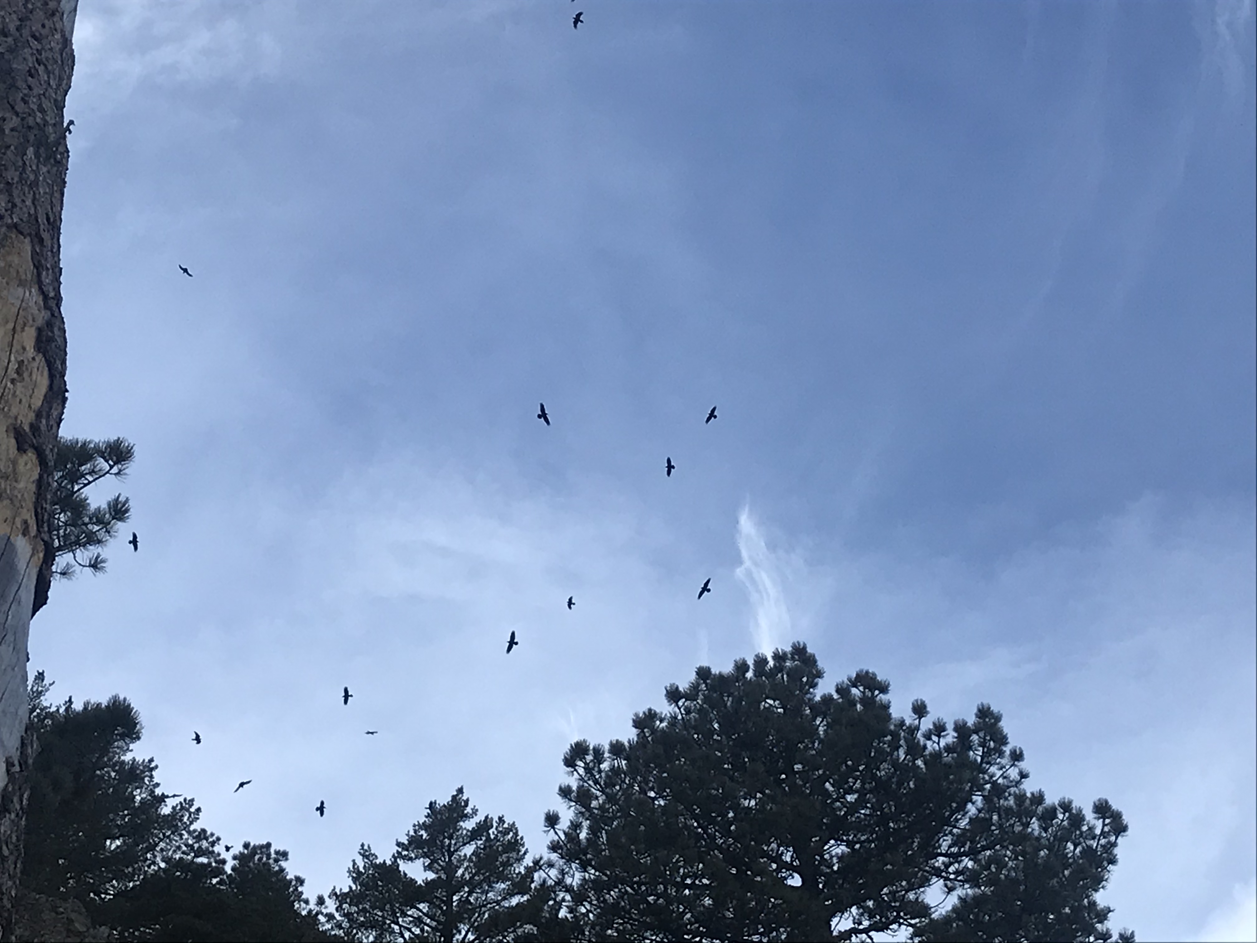
Being 3:45pm and limited daylight left, I debated whether I should attempt the final mile to the peak as I soaked in the views and took a few pictures. There were lots of hawks soaring above the peak, and I thought was really cool sight.
We were so close now, so I decided to go for it, after taking a couple more pics while the camera was out.
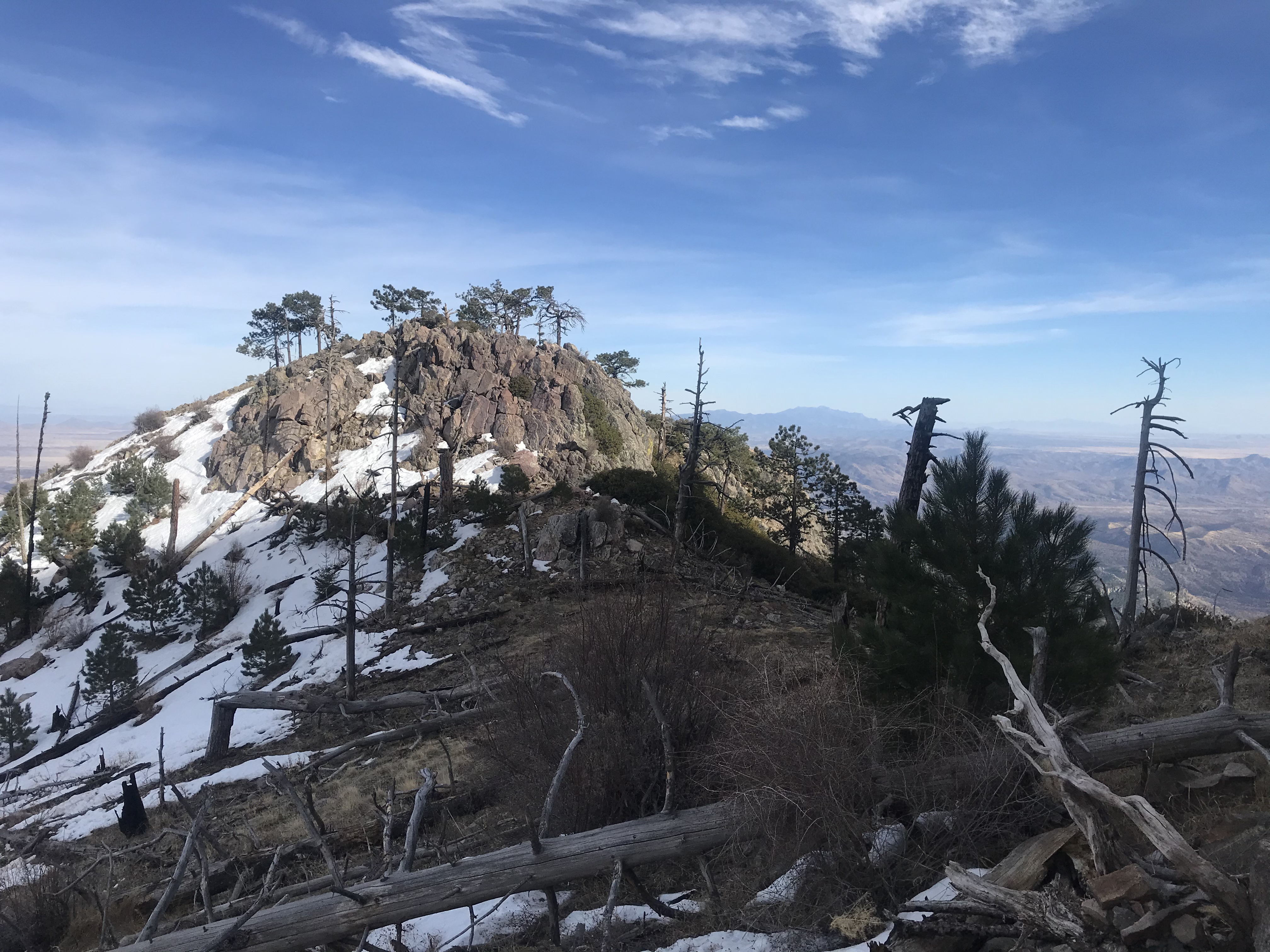
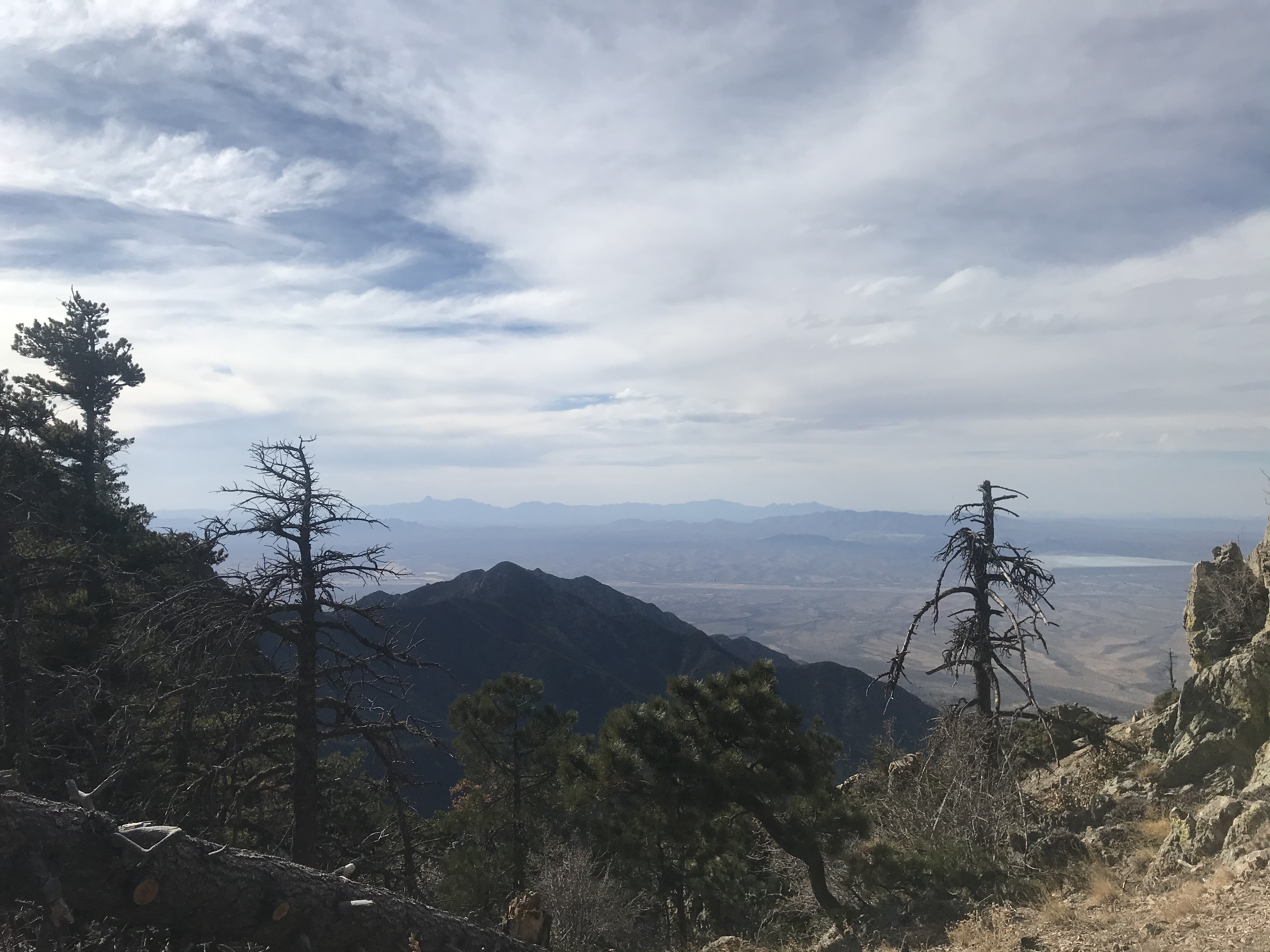
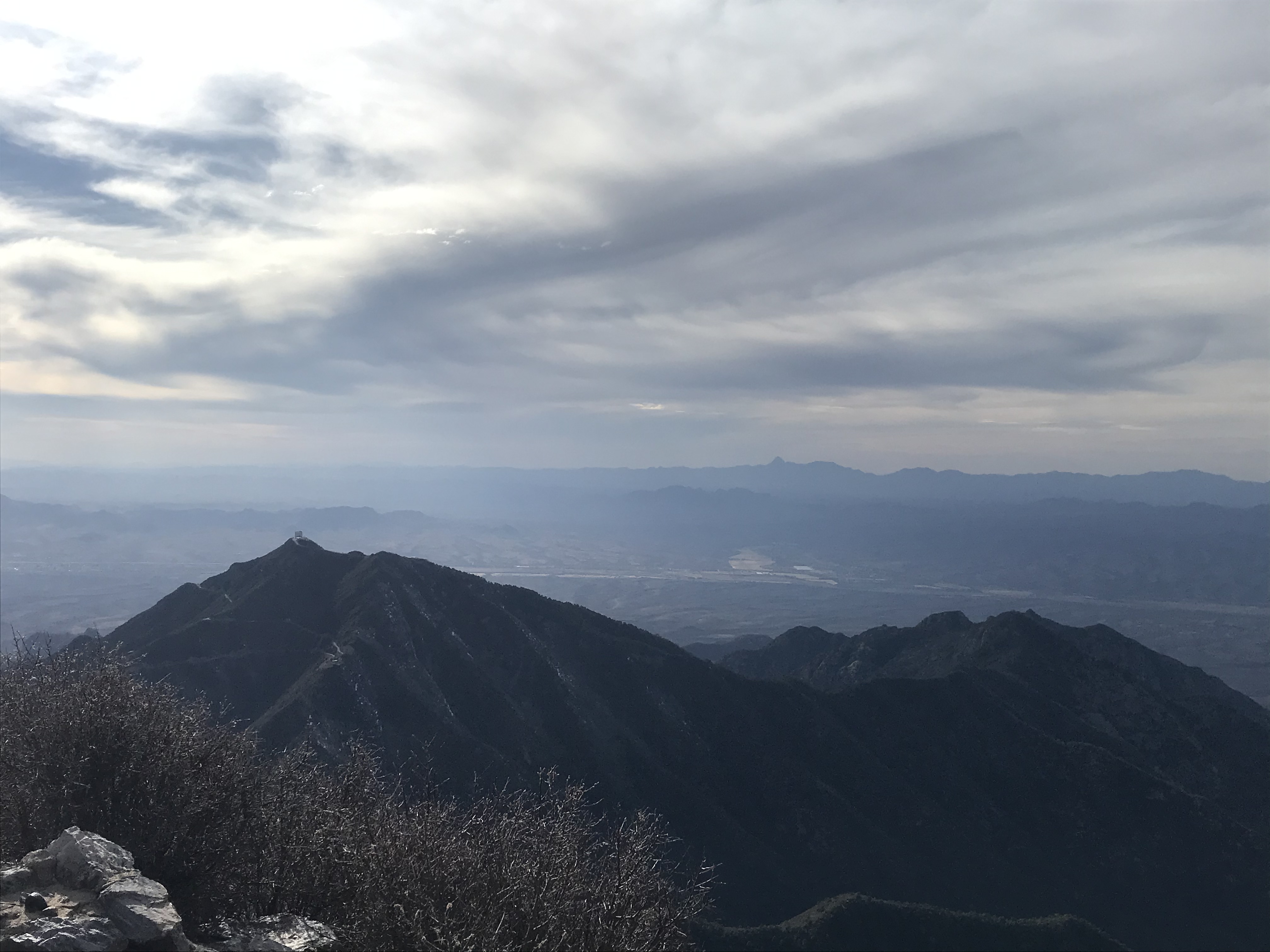
I was pleasantly surprised with how easy the final climb to the peak was, much easier in fact that the previous mile to the saddle, and there was no technical climbing or bouldering of any kind whatsoever, just a fast, easy hike to the top, only about half an hour, with some of the best views from the entire hike on the final stretch up the peak, with an epic view of the Patagonia mountains to the south (and Mexico beyond that) pictured below.
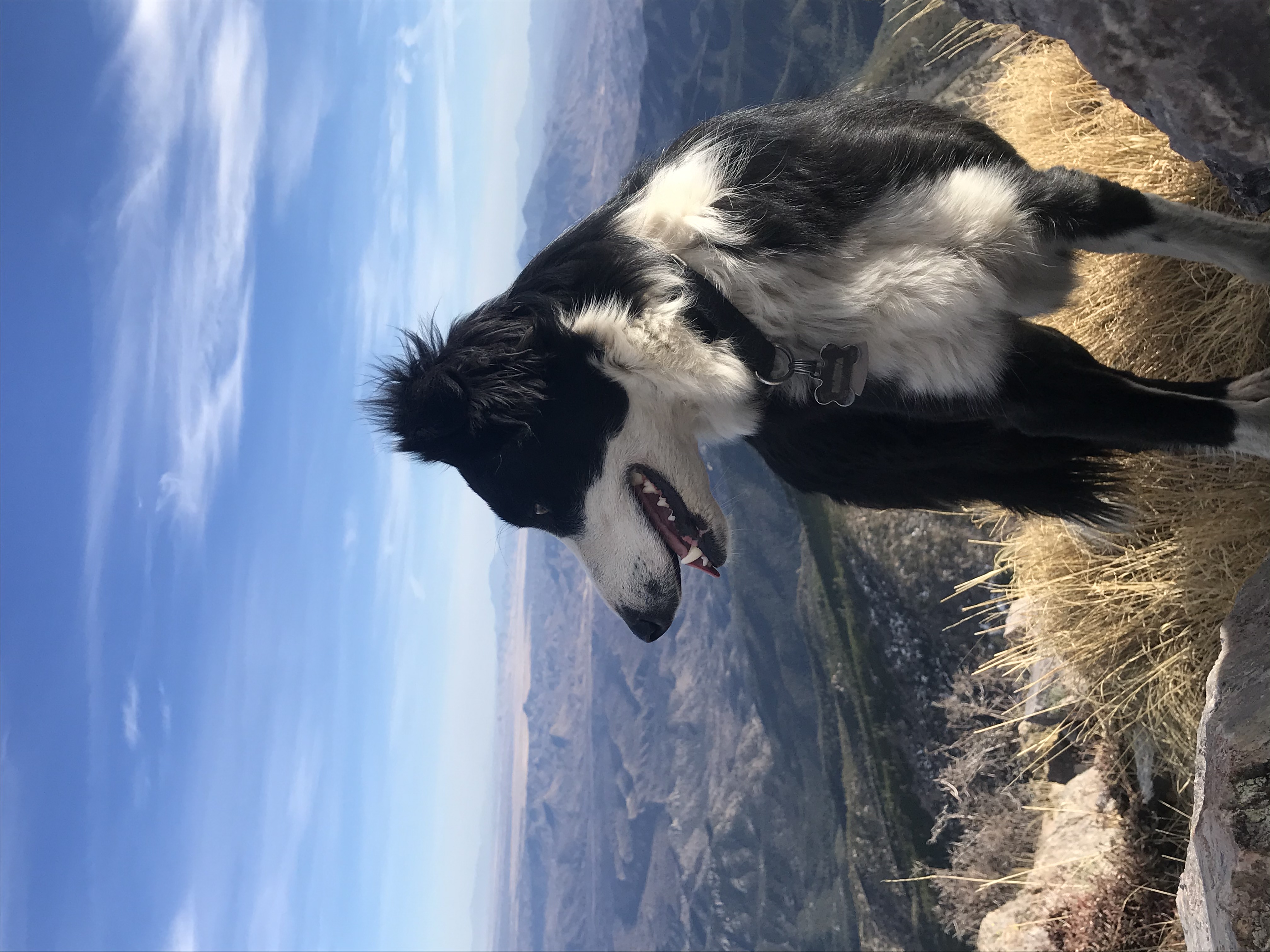
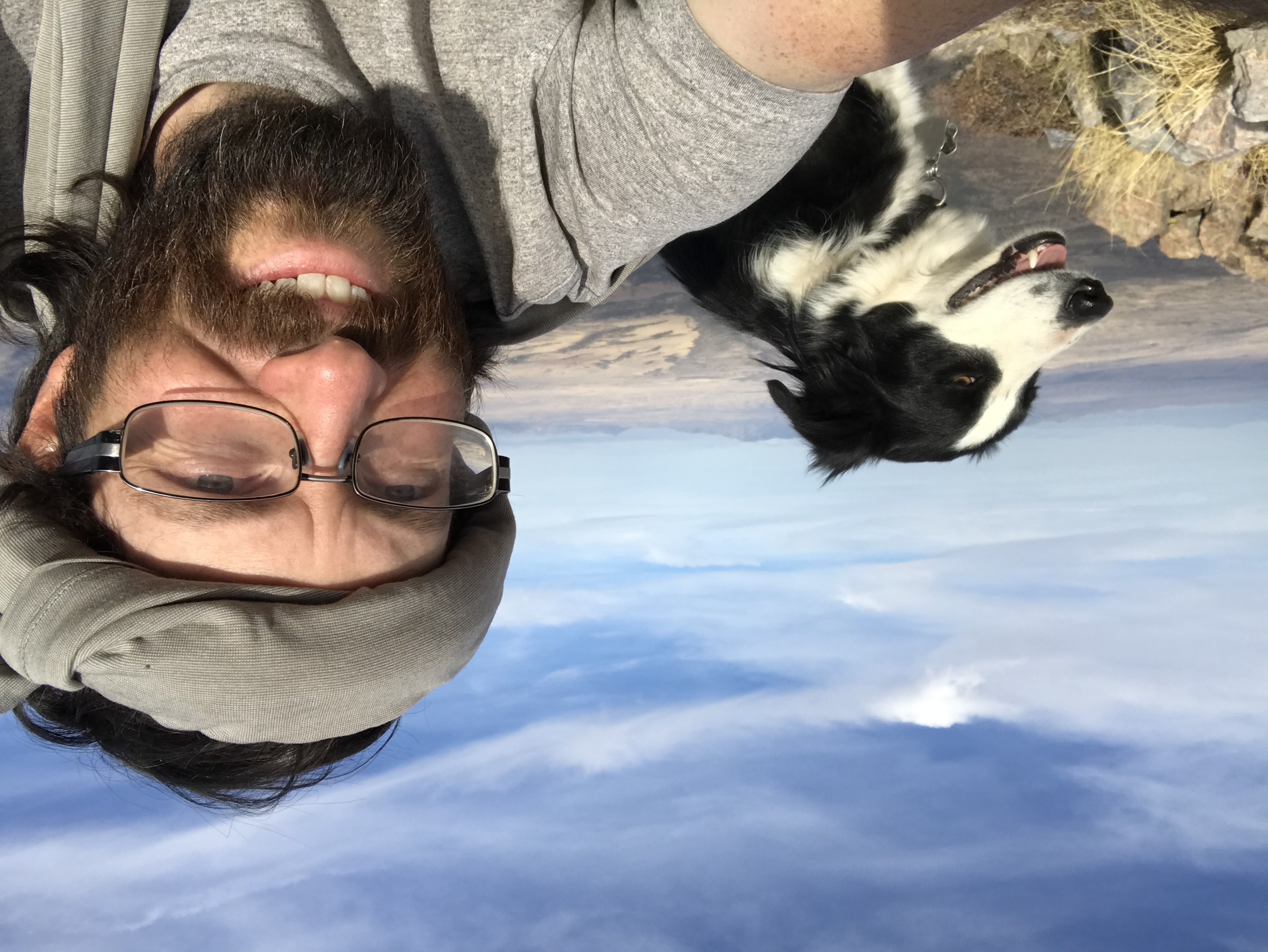
And then, just like that in what felt like no time, we made it to the top!
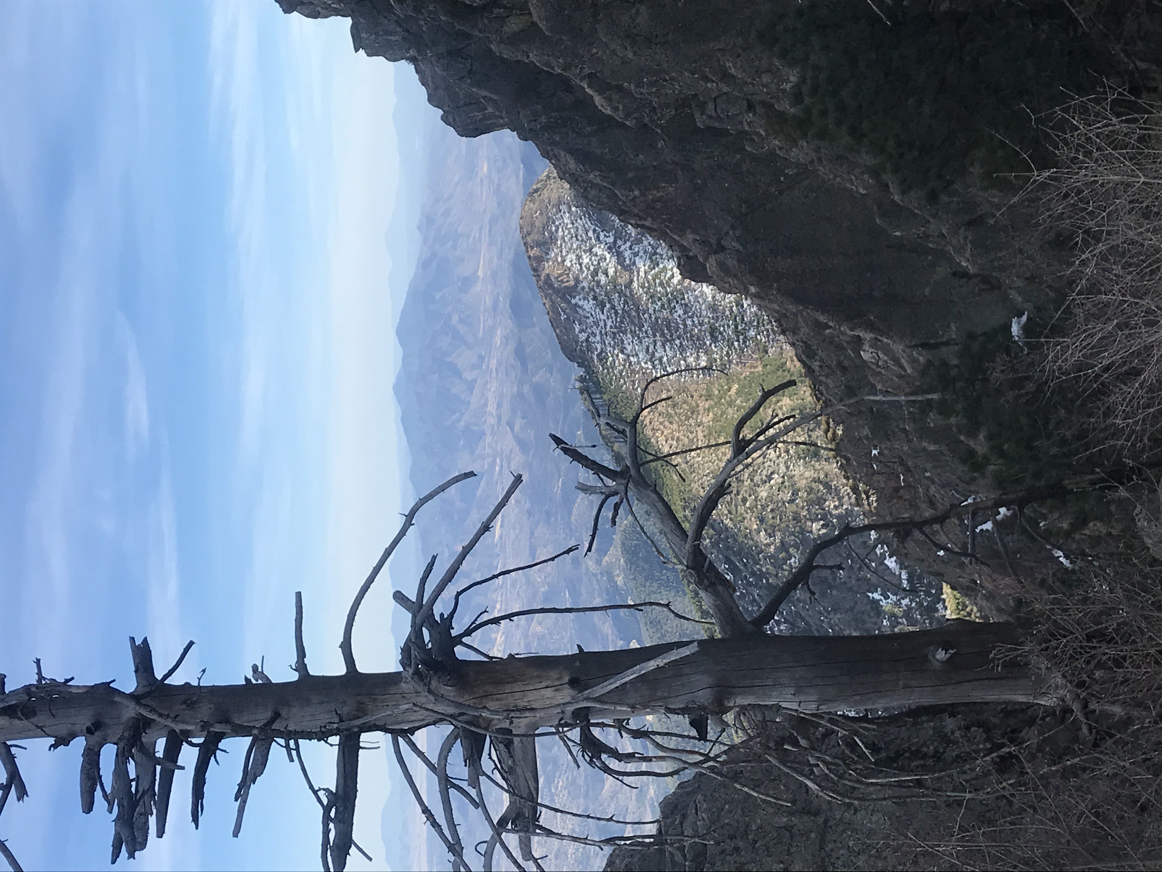
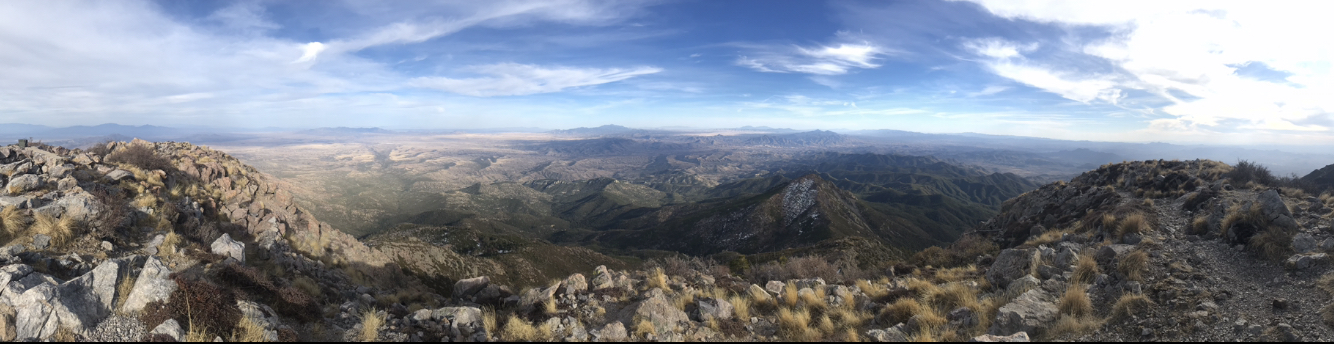
The 360 degree views on top were obviously fantastic, but it seemed the visibility wasn’t quite as good as some days. Still no less than nine different mountain ranges easily visible in all directions, and a great feeling to be on the top of the highest peak in a mountain range at over 9,400 feet. Panorama below:
But daylight was short, so after snapping a few pics and getting a mountaintop selfie with Dakota and a brief moment to sit down and soak in the views, it was time to head right back down, in hopes of making it back to camp by dark as I hadn’t thought to bring my headlamp!
Thankfully the hiking was much faster going on the way down, although it was at this point that my legs and feet began to feel a bit sore and tired. But there was no time for breaks until getting back to camp, so steady onwards I marched, wondering if Geronimo had ever hiked this trail and how many Apache warriors had walked the same land I was now treading. We were in the heart of the original Apache territory, after all.
Soon enough I reached my bike, and the ride down was pretty quick, but at that time I was too sore for the often bumpy, rocky ride to be much fun. The smoother, quick final ride down the road to camp was enjoyable, and I made it just in the nick of time, getting back around 7pm, with just a couple minutes to spare before the final remnants of light faded into the black of night. Dakota was possibly as tired as she’s ever been, but not me, as I’ve done the same mileage with skis and boots on my back in a day! Still slept good though and a bit sore the next day as I write this, but not bad for over 14 miles in a half day!
Hey Jason, great pics! Looks like a great area. I've never explored or camped in a place like that, but it seems gorgeous. The news is saying a heat wave of sorts is coming to most of the US. Cold nights but mild sunny days up here in BC lately! I can't get out of town, but I do get outside when I'm able.
What is the Point got nearly $30 in votes, which I'm very happy about, and glad it reached some people. It feels good to have a fairly comprehensive article put together about an important topic. I'm sure I'll refer back to it, and hopefully others will too.
I got a bike for the first time in years, last summer. Used, $70. Broke on the ride home! Then it got stolen once I fixed it. Hoping for better luck this year.
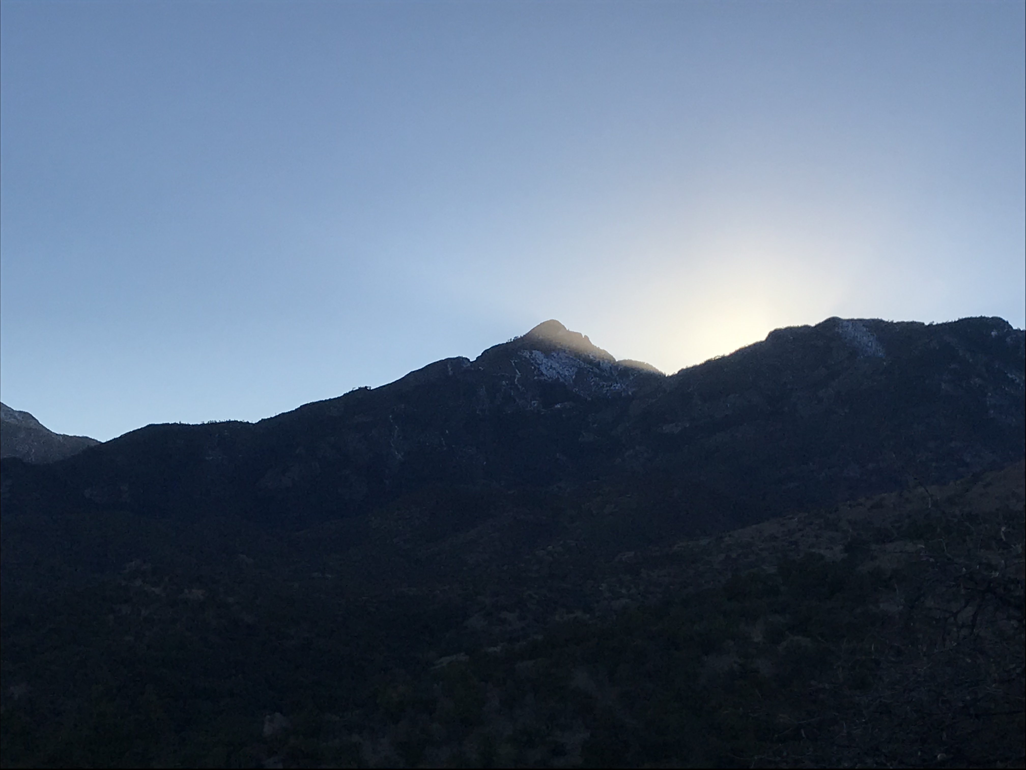
The last photo was nicely chosen! Pretty light effects :)