Anyone who wants to hike is drawn to the Alps, to Nepal, to the Way of St. James or at least to a famous long-distance hiking trail like the Kungsleden, which leads up to the North Cape. But the real adventures await elsewhere, where there are no hordes of hikers. Where the landscape is unknown and the hiking trail is often not even signposted.
Denmark is not a traditional hiking country, but the Danish Baltic Sea island of Møn is famous for its chalk coast - and also a wonderful hiking destination for the curious. The Baltic Sea island now also has a hiking route that has received top marks.
 Nyord is the island behind the island Møn
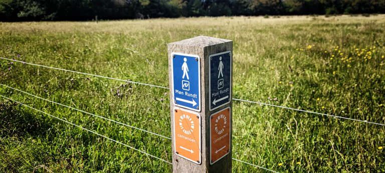
The Camønoen is a 175 kilometer long circular route around the island of Møn, but it also leads over the islands of Bogø and Nyord and it has the beautiful title of “friendliest hiking trail in the Danish kingdom”.
 It's flat like a pancake
Who wants to walk forever
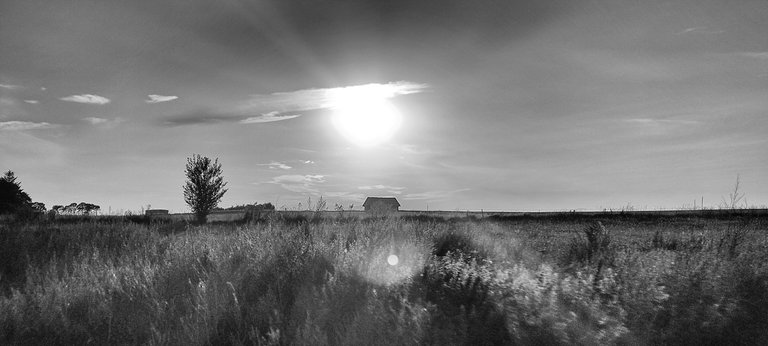
Mostly it goes along the beach, through forests and fields, swarms of mosquitoes and past the villas of famous writers. The sun is burning, the wind is blowing. Anyone who wants to walk all this will work up a sweat, but will be rewarded with wonderful views.
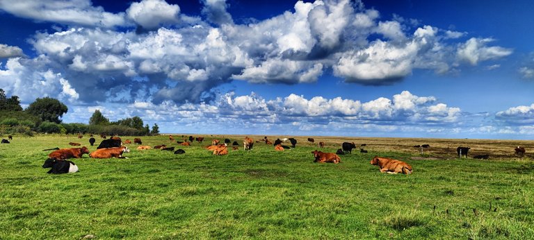 The cows are happy here
With breathtaking nature, historical artifacts, friendly people and many surprises. Why picturesque Camønoen is a great tip even for inexperienced hikers.
 Blackberrys for the belly
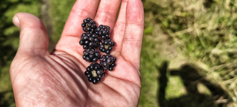
From Stege, the tiny capital of the small island, we head out of the village in search of the beginning of Camønoen. The path is wide and leads directly along a street. And past a typical piece of Denmark: a school complex as modern as a spaceship. A forgotten bicycle lies in the schoolyard, everything else looks freshly built and unused.
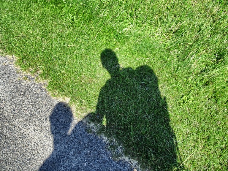 We got nearly 20 kilograms on our back
Denmark's education system is considered exemplary worldwide; the country has a small population but a high standard of education. The school rooms, which the caretaker kindly shows us, are airy and open, well-equipped and modern. There are guitars for everyone who wants to play, sports equipment, bright, Scandinavian-cool but inviting classrooms.
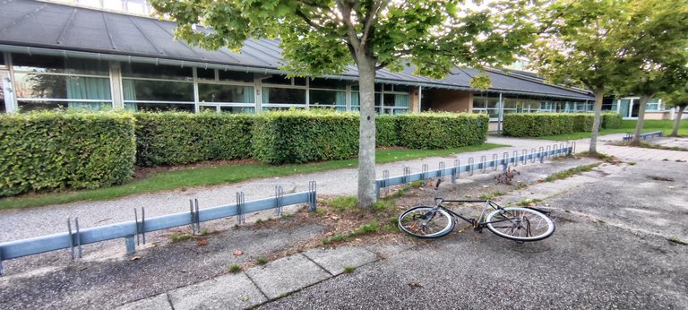 A Spaceship as school, with bicycle
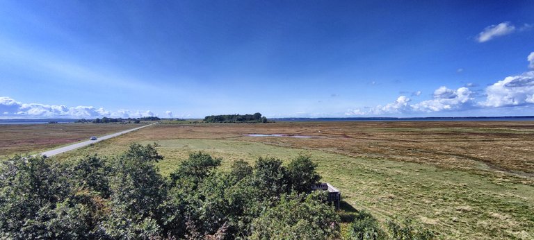
The Island behind the Island
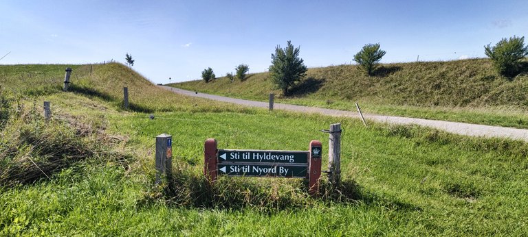
There's no time to take a close look at everything. It gets long, all the way up to the island of Nyords, which hangs on Møn like a tail. After a few kilometers the first waymark finally appears, inconspicuously hidden by a small post with the logo of the circular route that leads around the entire island.
 This is the beginning of the real trail (behind the red roofs)
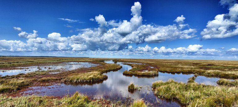
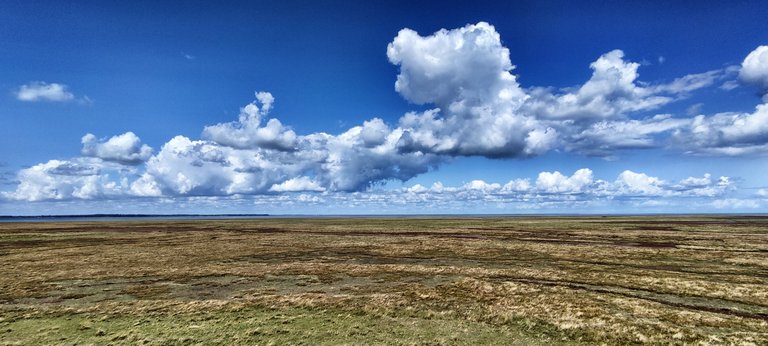
Shortly afterwards the path finally turns off the road and heads into the marshland, green and lush. Soon a forest begins, the path leads uphill, that is, what is uphill here: height differences of 20 meters will soon seem like a real climb.
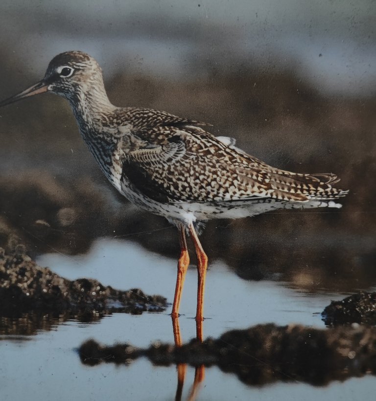
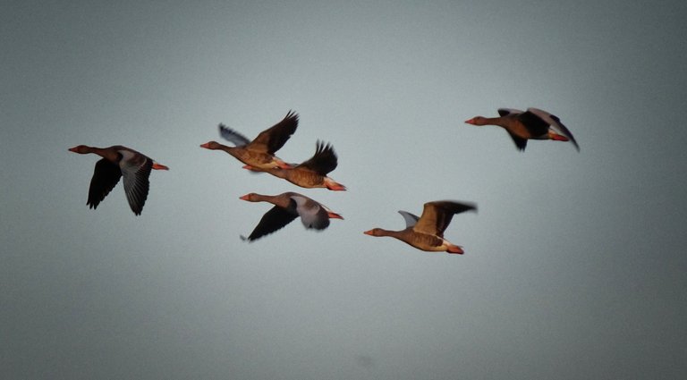 Birds are the diamonds of Nyord
This forest is like a fruit market. Blackberries and raspberries grow along the way, so many that people from Stege make a pilgrimage here to pick their share. We meet two women with huge baskets and in a good mood. At the car, which they have parked a short distance away, there are already more baskets, full to the brim. Hence the good mood!
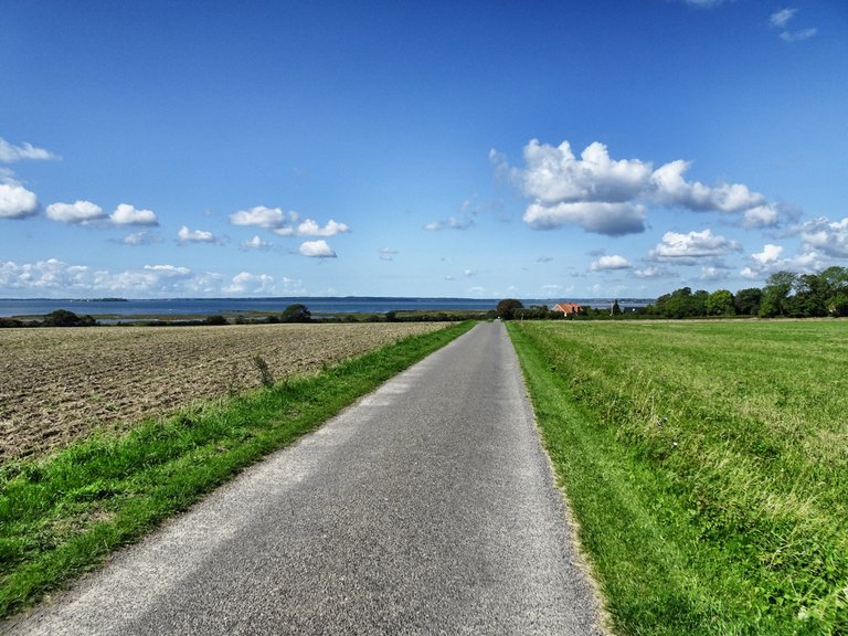
 The way around Møn follows the Camønoen Trail
Out on the weekend
We eat what we are hungry and continue hiking through one of the typical Danish leisure hut areas. Each house is far away from the next, most of them are empty because the owners only come on weekends. But Per and his wife are there, staring in amazement at our huge backpacks.
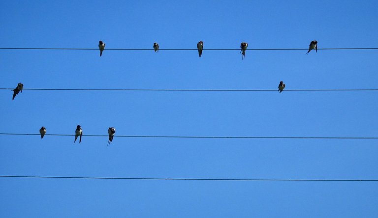 This isn't a real power line, it's wires that were stretched just for the birds
We chat a little, the two of them are passionate cyclists and have been on the road in all sorts of countries. Unfortunately you can't go around by bike, says Per, there are too many routes directly along the beach. Those are good prospects!
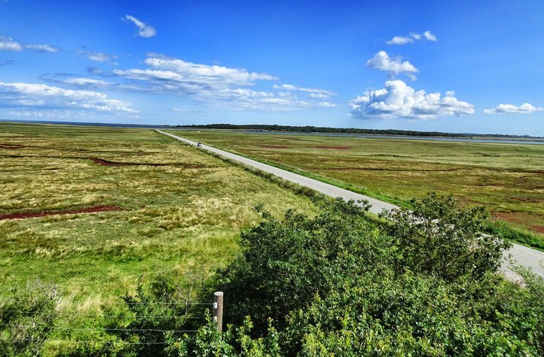 View down from the bird's tower. On the horizon at the middle the bridge
Behind the forest, a kilometer further, the landscape opens up and the bridge over to Nyord is waiting on the left. There are also the remains of former fishing company facilities, dilapidated, abandoned and forgotten.
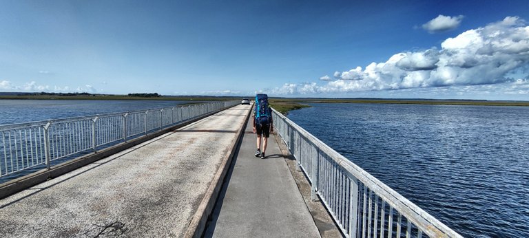 Heavy load on the way to Nyord
Behind the bridge lies Nyord before us, a piece of alluvial land whose history from early times to the present is well documented, even though the island is really at the end of the world.
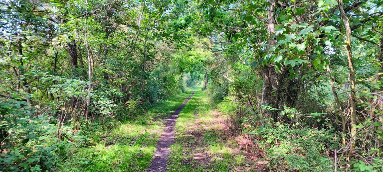 Green berry tunnel
Only by Boat
Until the 20th century, seafaring, combined with agriculture and fishing, were the main source of income. For over 60 years, the Røret mail boat was the only permanent connection for transport to and from the island until the bridge to Møn was built in 1968.
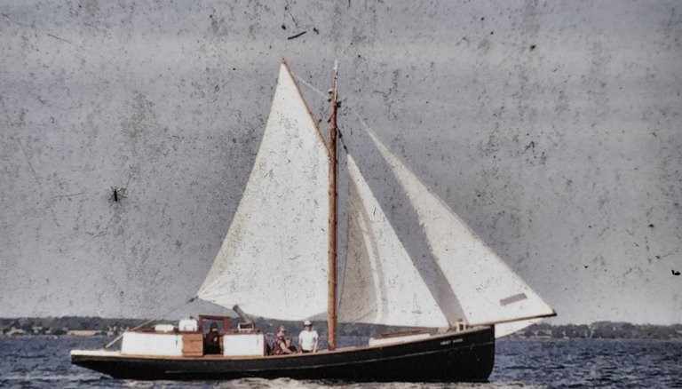 The Røret mail boat, now out of charge
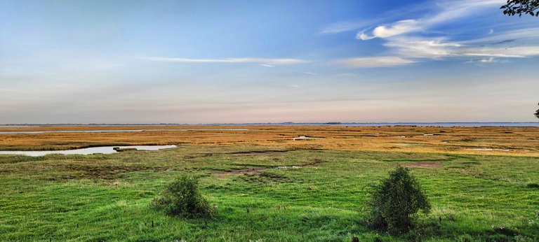
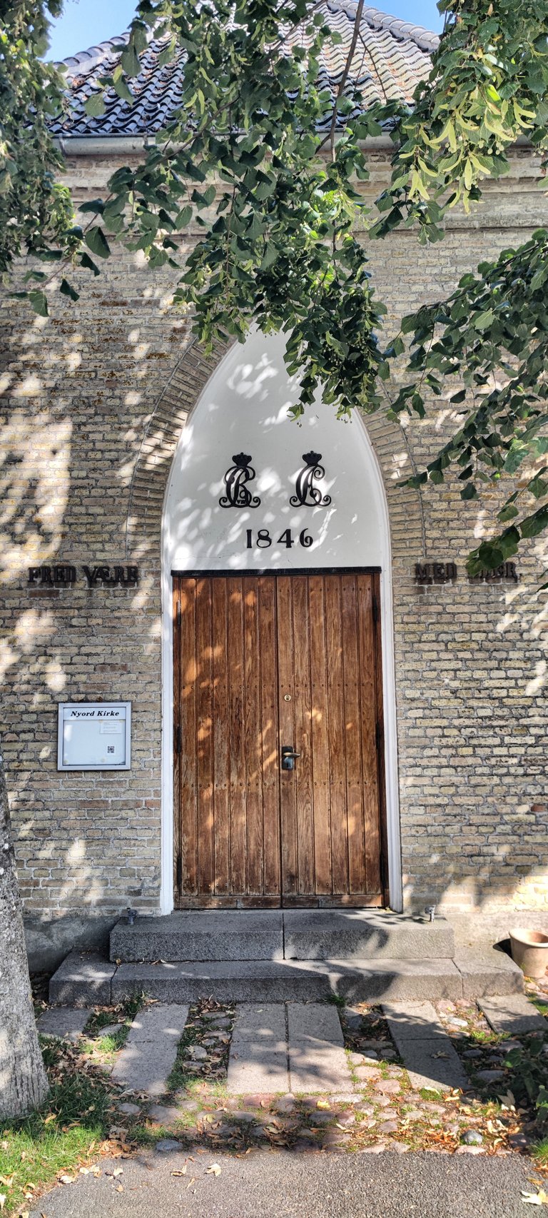
Today, large parts of the island are not just any nature reserve. But Denmark's first UNESCO biosphere reserve. The village of Nyord has retained its traditional form, with the former farms and the octagonal church in the center.
 Do you remember Blondies hit: "One bird or another"? ;-)
Nature lovers come here to watch birds. The Danes have built special observation towers from which the animals can be seen better. Apart from a handful of people and the countless birds, only cattle live here, loosely fenced in, they always go to where there is no water.
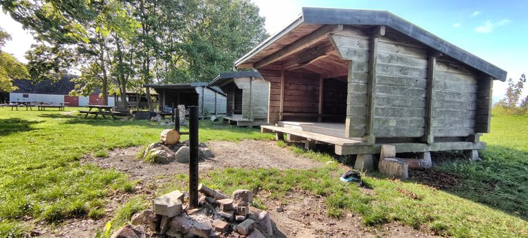 The shelters on Hyldevang farm
Hiking trails connect the village with the harbor, the pilot's lookout and the Hyldevang farm, which is now the nature center and our destination. There are three shelters in the wonderful green garden that must be reserved in advance.
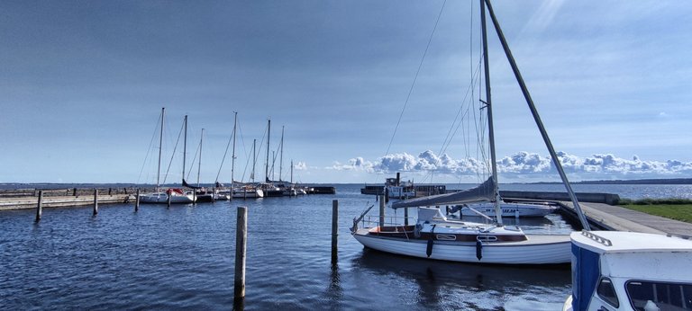 The harbor of Nyord
Not sleep at tents
Officially it is not allowed to sleep in a tent. But as the laid-back Danes are, nobody cares about it. There is no one else there when we arrive, but in the evening other hikers arrive. A family comes by car with four preschool children. They want to show the kids how to make a fire outside and sleep outside.
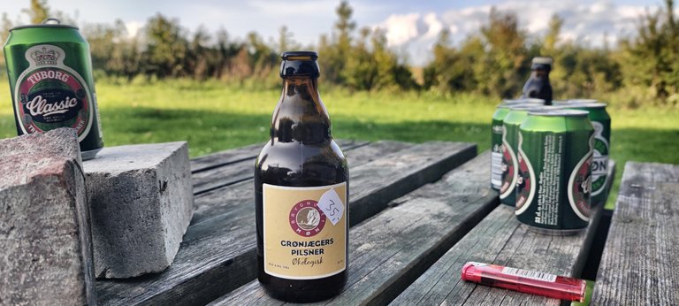 Cheers! (yes, the small bootle is 5 $)
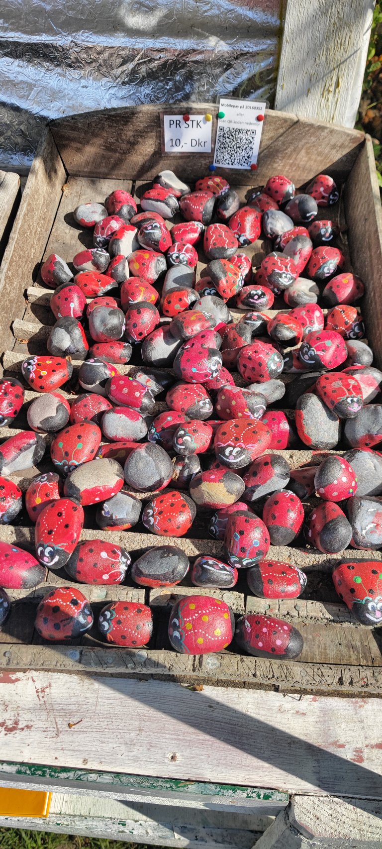
We are on our way to the village, where there is a small shop, several farm sales and galleries as well as a café. After the long hike - the predicted 12 kilometers have turned into 18 again - the cake is wonderful.
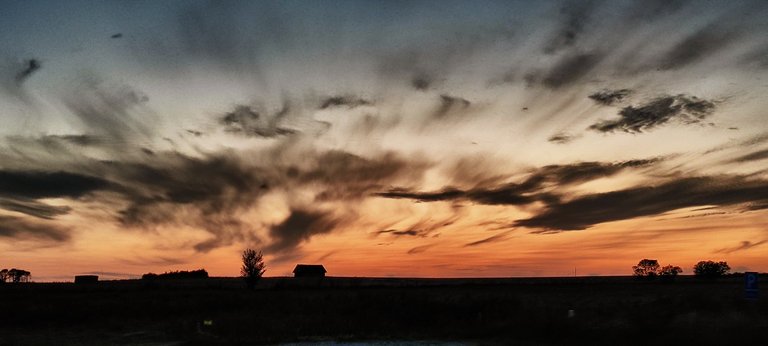 The day is going to sleep
Then dusk comes and we find out why Nyord is the heart of the international Dark Sky Park of the same name: there are ten times more stars glittering in the sky than at home.
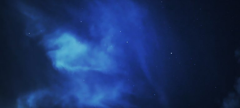 The stars are coming out.
Thank you for reading and if you like my work please follow me on Hive, Travelfeed or Steem or visit my homepage koenau.de
 It is a mysterious island
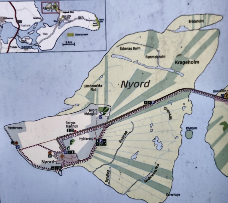 The map of the scene
 So good!
 No, no need!
 The last kilometre
 On the left side the small village
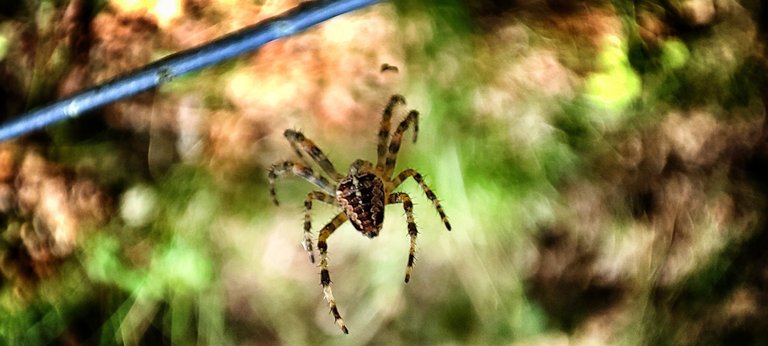 "And the spiderman is always hungry" (The Cure)
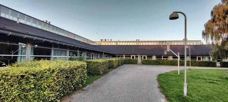 Modern school
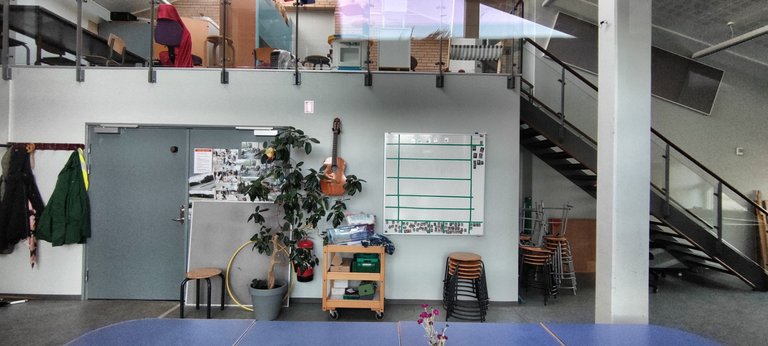 Inside
Congratulations @koenau! You received the biggest smile and some love from TravelFeed! Keep up the amazing blog. 😍 Your post was also chosen as top pick of the day and is now featured on the TravelFeed front page.
Thanks for using TravelFeed!
@for91days (TravelFeed team)
PS: Did you know that we recently launched the truvvl app? With truvvl, you can create travel stories on the go from your phone and swipe through nearby stories from other TravelFeed users. It is available on the Apple App Store and Google Play.
Thanks a lot and have a nice weekend!
Credit to the photographer
Hiya, @choogirl here, just swinging by to let you know that this post made it into our Top 3 in Travel Digest #2214.
Your post has been manually curated by the @pinmapple team. If you like what we're doing, please drop by to check out all the rest of today's great posts and consider supporting other authors like yourself and us so we can keep the project going!
Become part of our travel community:
Congratulations, your post has been added to Pinmapple! 🎉🥳🍍
Did you know you have your own profile map?
And every post has their own map too!
Want to have your post on the map too?