I welcome you to the next continuation of the trek through South Bohemia around the river Otava and further towards the town of Klatovy.
Vítám Vás u dalšího pokračování z treku po Jižních Čechách kolem řeky Otavy a dále směrem na město Klatovy.
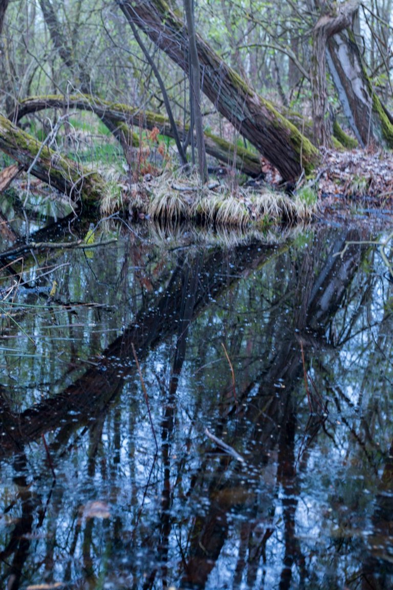
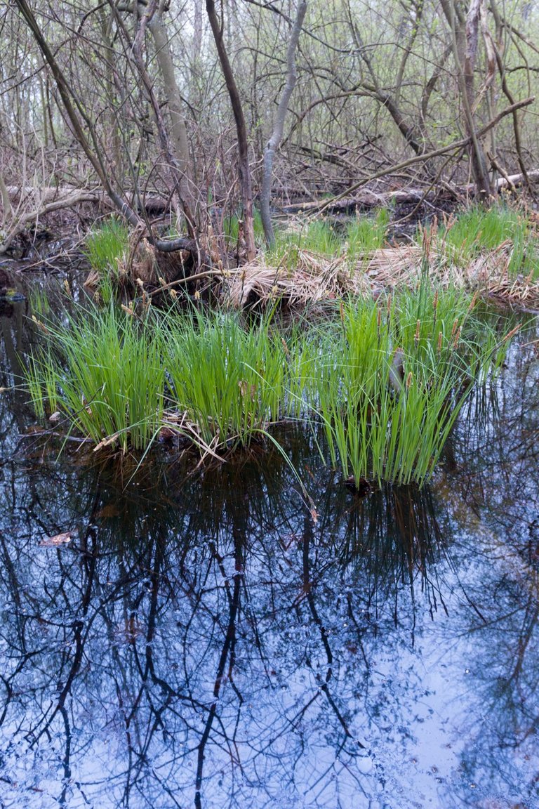
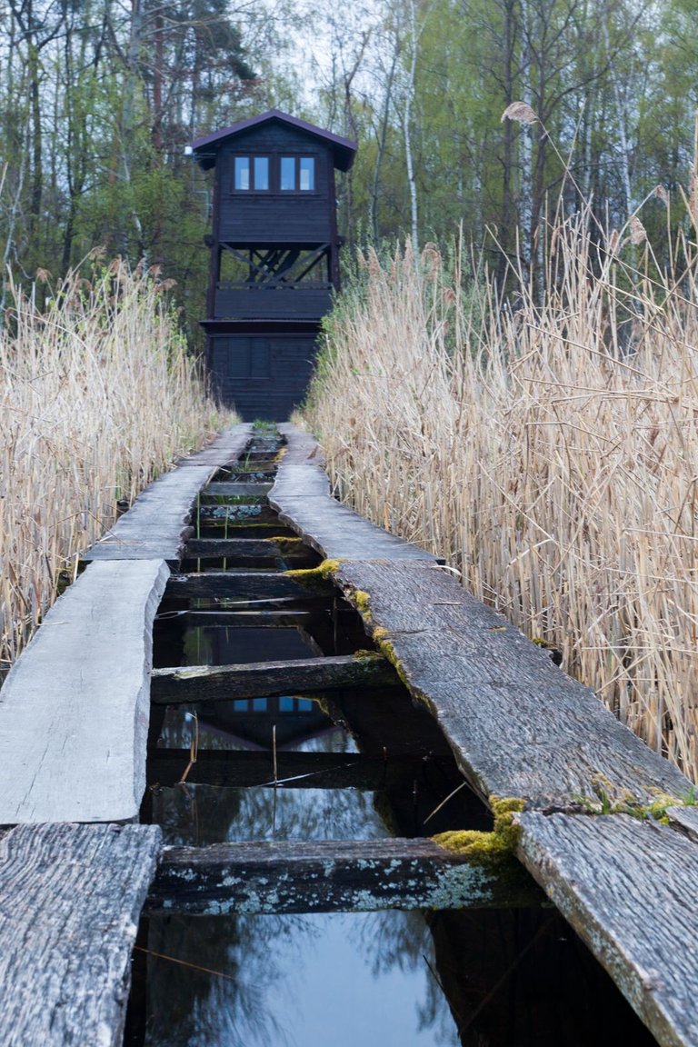
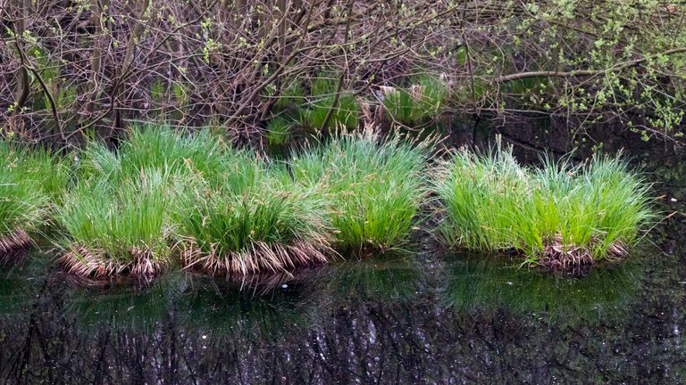
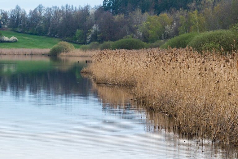
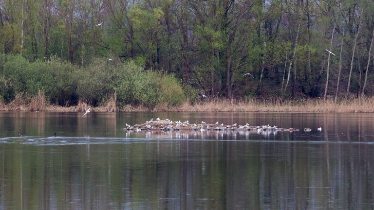
I spent the night on the lookout tower by the Řežabinec pond, where I didn't get much sleep thanks to a colony of seagulls that squawked all night. So I had time to at least explore the surrounding pools a little before sunrise.
Noc jsem strávil na vyhlídkové věži u rybníka Řežabince, kde jsem se mnoho nevyspal díky kolonii racků, kteří celou noc skřehotali. Tak jsem měl čas alespoň trochu prozkoumat okolní tůně před východem slunce.
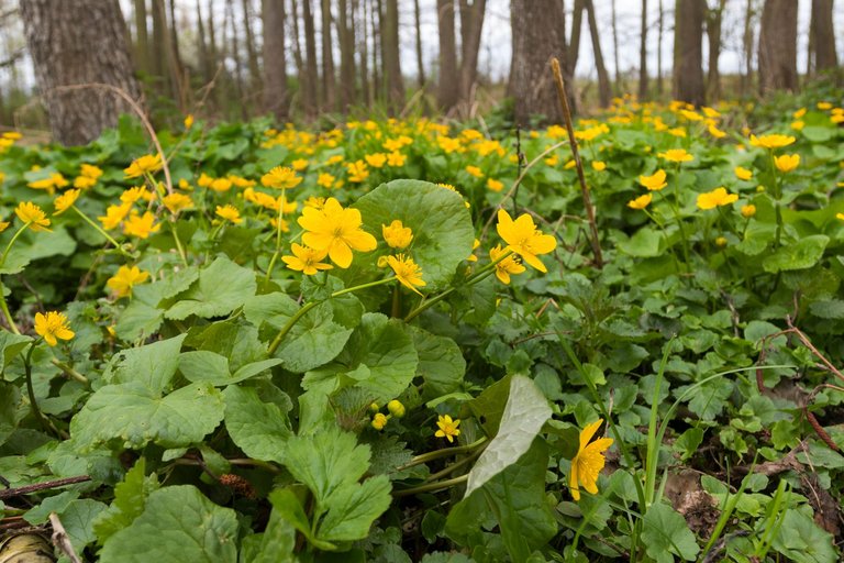
As soon as it was clear that there would be no colorful sunrise that day, I set out from the pond to the peak called Zlatá hora. Where I wanted to try the first place I marked on the prospector map. I was not successful and so I continued freely through the landscape to several other places that I had marked as places with probable occurrence of gold.
Jakmile bylo jasné, že toho dne nebude barevný východ slunce vydal jsem se od rybníka k vrcholu s názvem Zlatá hora. Kde jsem chtěl zkusit první místo, které jsem si označil v prospektorské mapě. Nebyl jsem úspěšný a tak jsem pokračoval volně krajinou k dalším několika místům co jsem měl označené jako místa s pravděpodobným výskytem zlata.
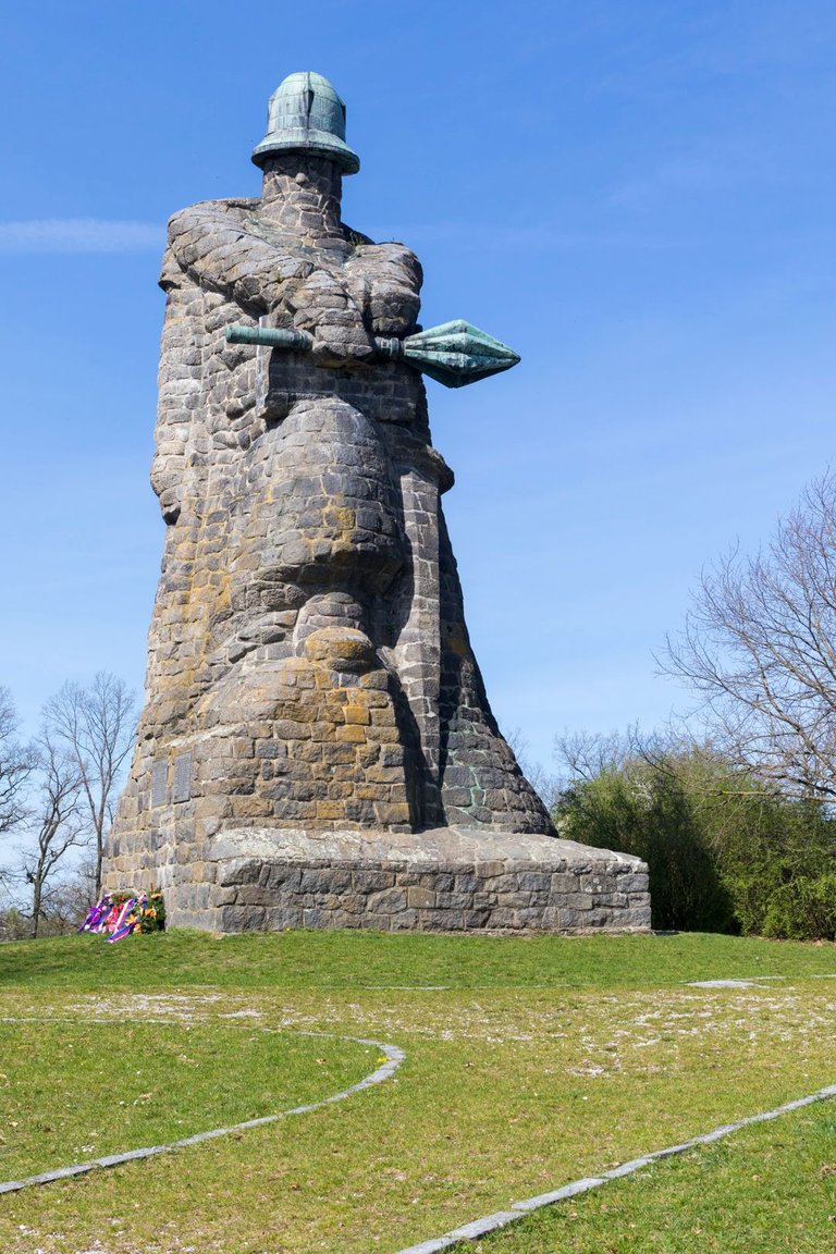
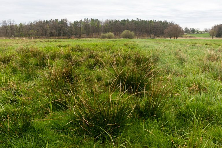
Through the sometimes swampy landscape, I reached the monuments of the battle of Sudoměř from 1420 between the Hussites and the nobility of that time. Jan Žižka commanded the battle from the Hussite side, who had at his disposal about 500 lightly armed persons, including women and children. Opposing them were about 2,000 heavily armed knights, including heavy cavalry. Žižka lured the heavy knights into the surrounding wetlands with a well-built defensive ring of wagons between the ponds and won the battle.
Skrze místy bažinatou krajinu jsem se dostal až k památníků bitvy u Sudoměře z roku 1420 mezi Husity a tehdejší šlechtou. Bitvě ze strany Husitů velel Jan Žižka, který měl k dispozici asi 500 lehce ozbrojených osob, včetně žen a dětí. Proti nim stálo asi 2000 těžce vyzbrojených rytířů, včetně těžké jízdy. Žižka skvěle postaveným obraným kruhem z povozů mezi rybníky, vlákal těžké rytíře do okolních mokřadů a bitvu vyhrál.
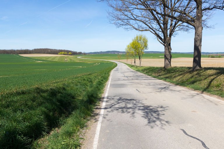
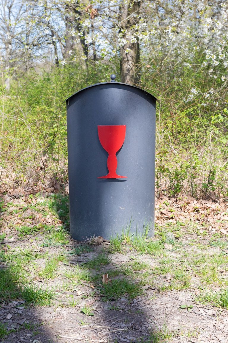
The landscape here is very interesting with a combination of forest draws, fields, meadows and ponds. And so the journey went by rather quickly. Also mainly thanks to the fact that it was terribly hot. Over 30 degrees Celsius for the beginning of April is really a lot for the Czech Republic. Sometimes I came across modern folk art until I finally reached the town of Strakonice.
Krajina je zde velmi zajímavá v kombinaci lesních remízků, polí, luk a rybníků. A tak cesta poměrně rychle utíkala. Také především díky tomu, že se udělalo hrozné horko. Přes 30 stupňů Celsia na začátek dubna je pro Českou republiku opravdu hodně. Občas jsem narazil na novodobé lidové umění, až jsem nakonec došel do města Strakonice.
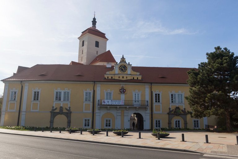
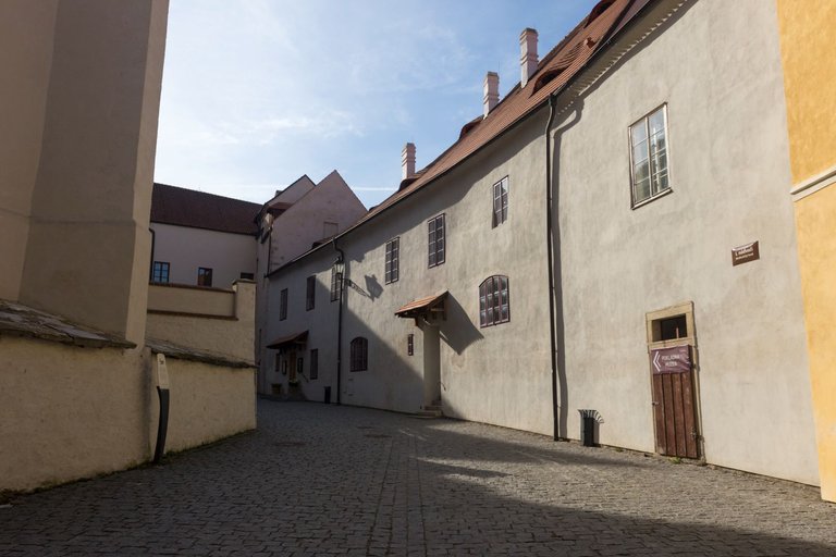
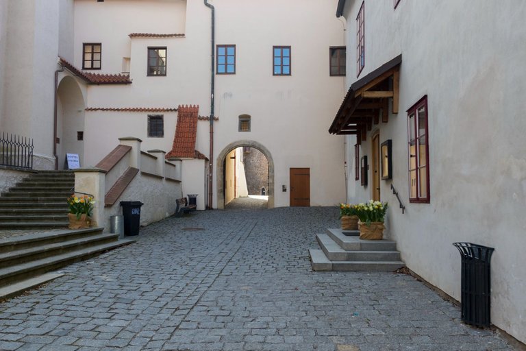
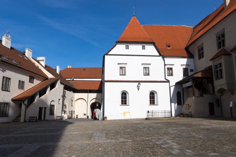
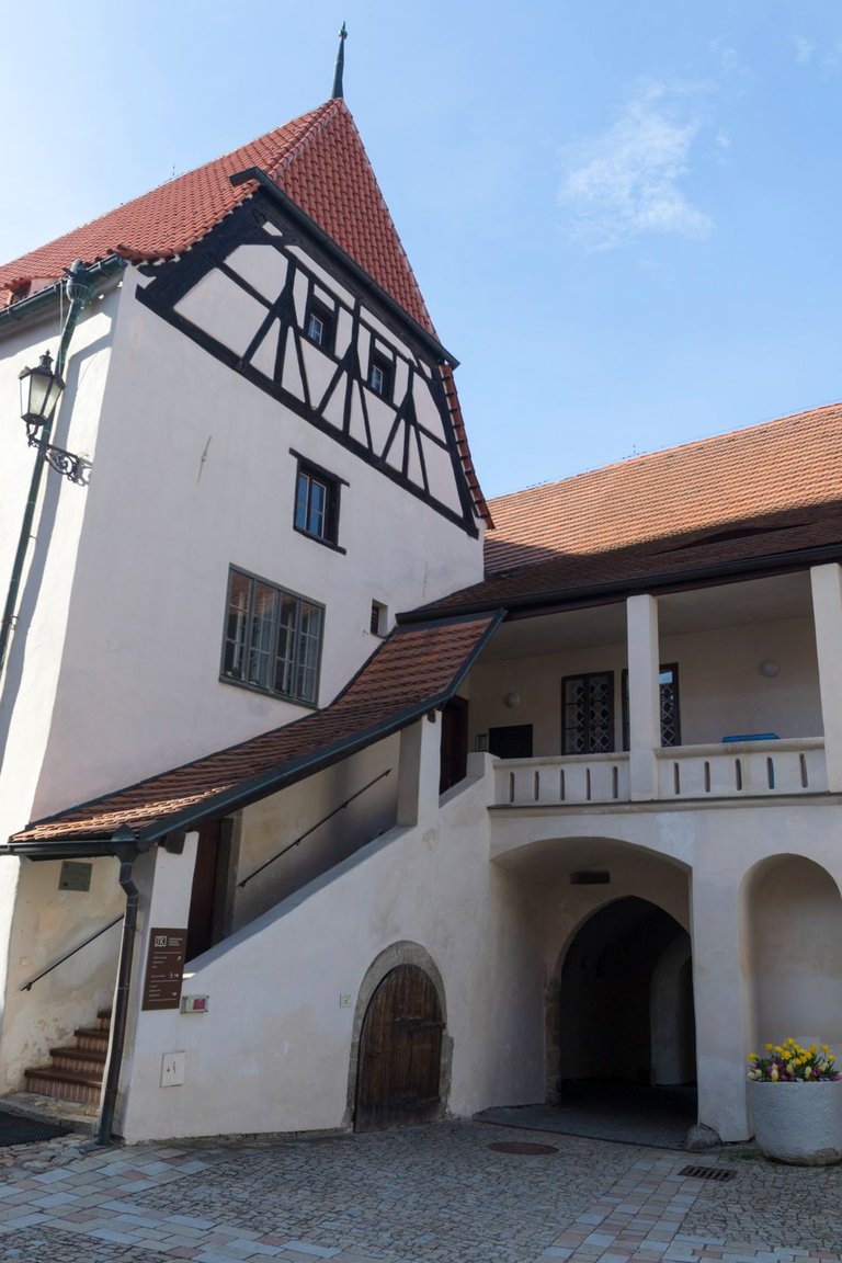
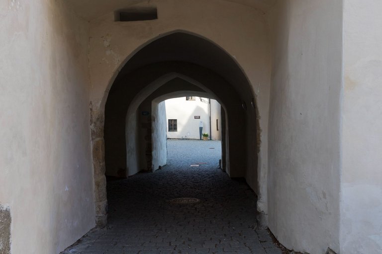
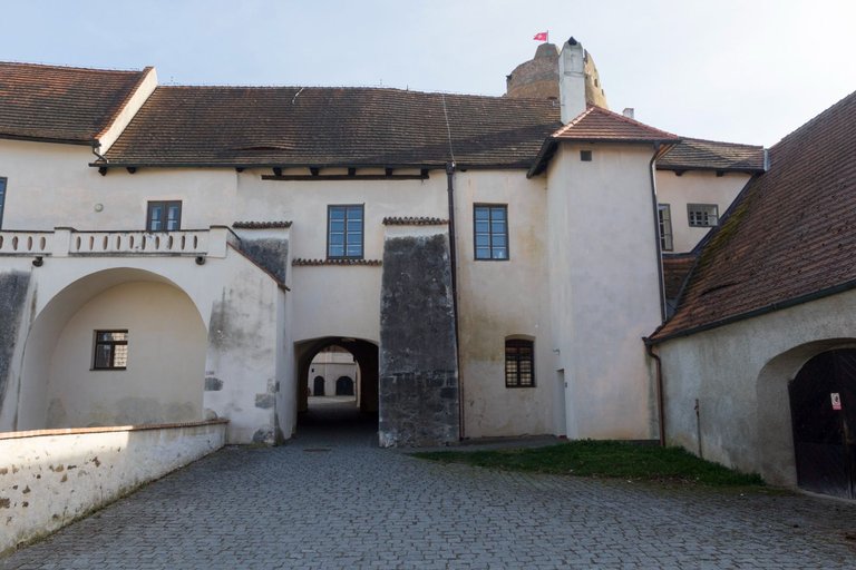
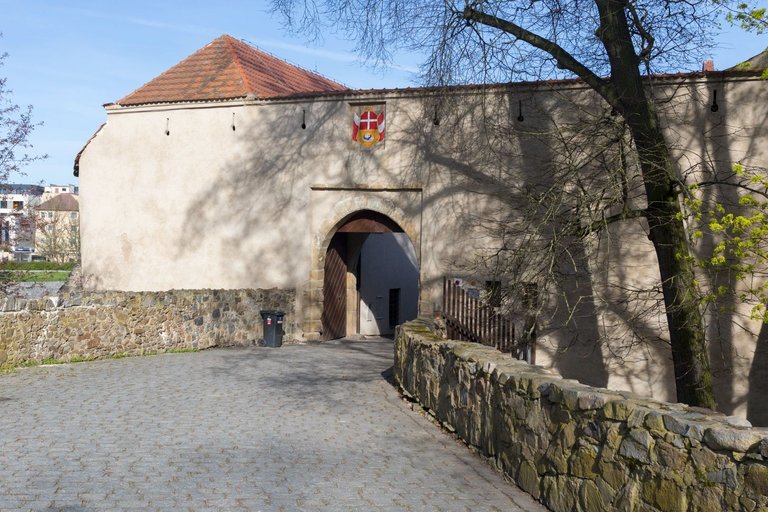
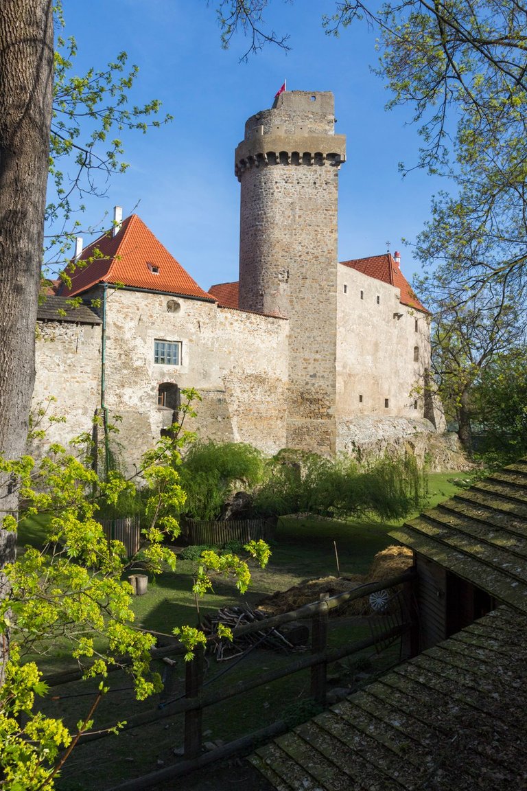
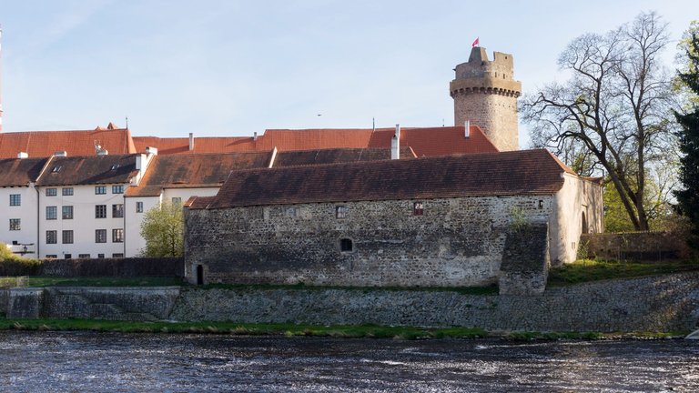
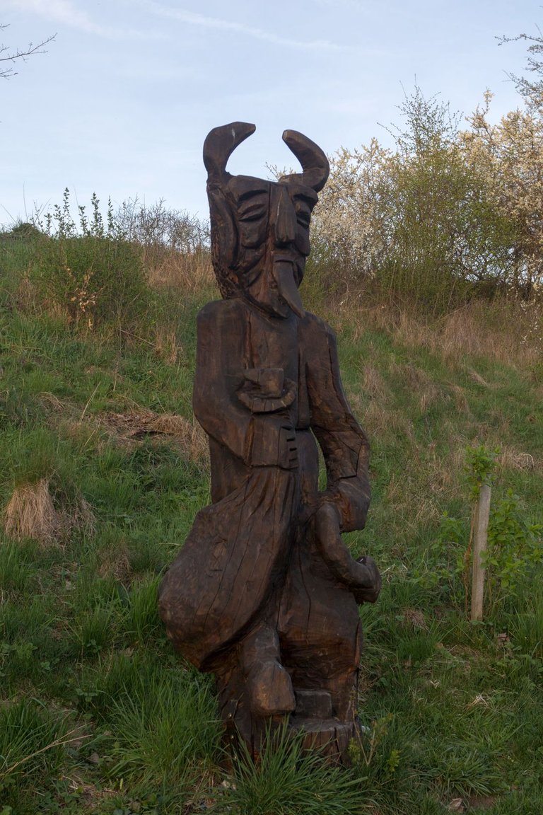
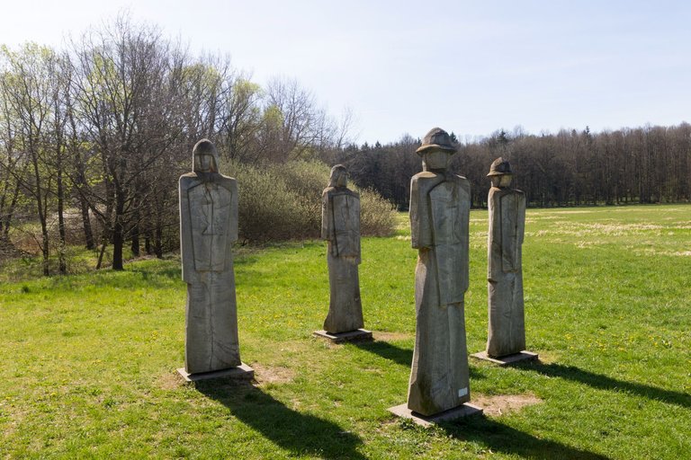
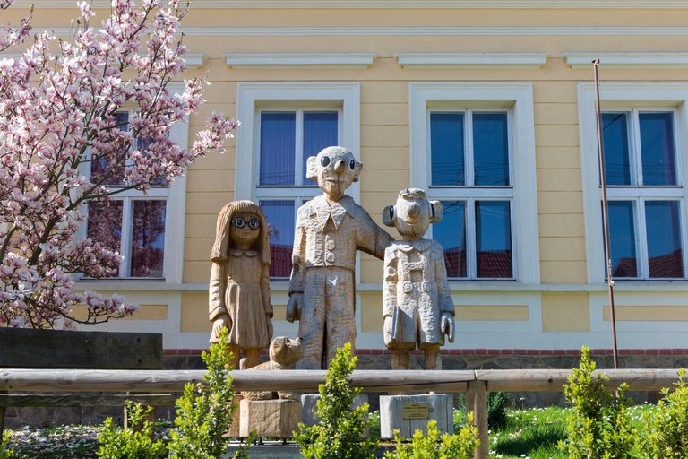
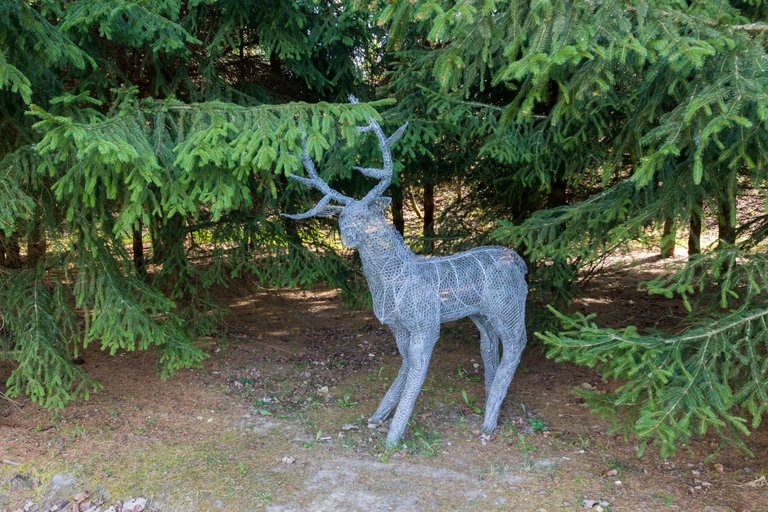
Here I bought supplies for the next few days, quickly ran through the courtyard of the chateau and castle. And then continued further upstream, where I met more and more wooden statues. Until I finally settled under Katovicka hora (493m). Where I ended this demanding day on the river bank.
Zde jsem si nakoupil zásoby na dalších pár dní, rychle proběhl nádvoří zámku a hradu. A poté pokračoval dále proti proudu řeky, kde jsem potkával čím dál více dřevěných soch. Až jsem se nakonec zabydlel pod Katovickou horou (493m). Kde jsem tento náročný den ukončil na břehu řeky.
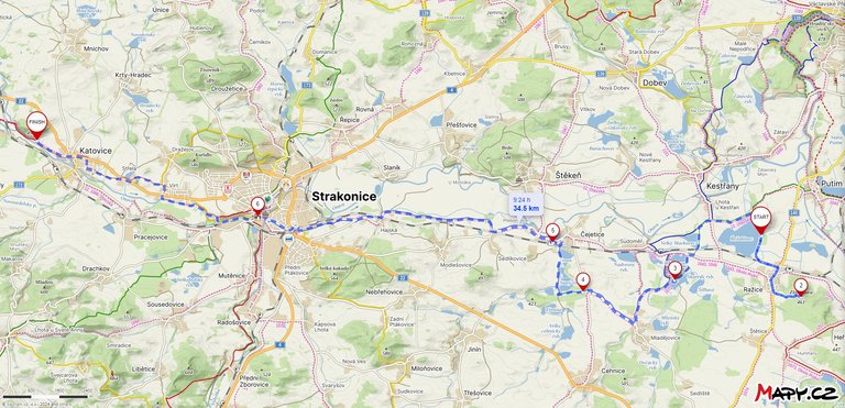
| The length of the trek | The climb up | Descent down |
|---|---|---|
| 47.2 Km | 338 meters | 300 meters |
Edit: Changed Front Picture
Ještě má Žižka pod kloboukem vosí hnízda? Před dvaceti lety jsem se kvůli tomu k pomníku radši moc nepřiblížil :-)
Nějaký vosy tam lítaly,ale moc jich nebylo tak pravděpodobně teprve začínaly stavět hnízdo.
Je na ně ještě brzo.
Congratulations, your post has been added to Pinmapple! 🎉🥳🍍
Did you know you have your own profile map?
And every post has their own map too!
Want to have your post on the map too?
Hiya, @ybanezkim26 here, just swinging by to let you know that this post made it into our Honorable Mentions in Travel Digest #2204.
Your post has been manually curated by the @pinmapple team. If you like what we're doing, please drop by to check out all the rest of today's great posts and consider supporting other authors like yourself and us so we can keep the project going!
Become part of our travel community: