I have attended the university, been a witness to those boring lectures (not all are though), took the tests and examinations and acquired a Bachelors in Geomatics otherwise Geoinformatics and Surveying. I know lots of people do not know who a Surveyor is. Don’t worry, it is one reason I have written this article.
WHO IS A SURVEYOR

Knowing who a surveyor is warrants such opportunity as to understand what surveying is.
Surveying is a science, an art and otherwise technology that deals with the relative positions of points above, on or below the surface of the earth and the establishment of such points thus it is a discipline that encompasses all methods of measurement and collection of information about the earth and our environment and processing and disseminating such information to the wide range of clients.
That said, a surveyor is a person with the academic qualifications and technical expertise to conduct one or more of the following
• Determine, measure and represent the land, three-dimensional objects, point fields and trajectories
• Assemble and interpret land and geographically and economically related information
• Use the information for the planning and efficient administration and management of the land, sea and any structures thereon.
HISTORY OF SURVEYING
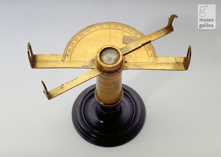


The surveying profession has been in practice since 1400B.C. this science began in Egypt where Herodotus recorded that Sesostris divided the land into plots for the purpose of taxation. Where annual floods of the Nile River swept away potions of these plots, surveyors were appointed to replace the boundaries. Early civilizations assumed the Earth to be flat, but by noticing the Earth’s circular shadow on the moon during lunar eclipses and watching ships disappear as they sail towards the horizon led to the deduction that the earth is actually curved in all directions. Surveying has since evolved procedurally from those ages to today where there is now a replacement with high-tech instruments. These include the Total station instruments
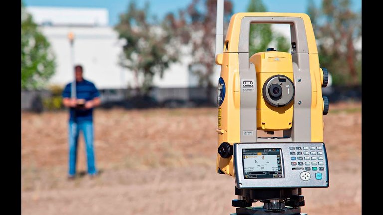

(which can automatically measure and record horizontal and vertical distances) and the Global Positioning
System(GPS)


that can provide precise location for virtually any type of survey, aerial cameras and remote sensing instruments developed which provide images in digital form and these images can be processed to obtain spatial information and maps using digital photogrammetric restitution instruments.
IMPORTANCE OF SURVEYING
Surveying is one of the world’s oldest and most important arts because as noted already, there has always been the need of demarcation. Surveying has now become indispensable to our modern way of life. Nowadays surveying is used for
Mapping the earth above and below the sea
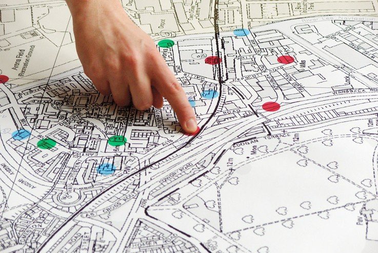
Prepare navigation charts for use in the air, land and sea
Establishing property boundaries including public and private
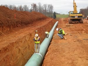
Surveyors are mostly involved in the construction industry during the stakeout phase of such projects. These surveyors come in with their instruments (including the total stations that most people easily identify them by and sometimes even mistake them for photographers) and acquire spatial information required for the progress of such construction.
.jpg)
.jpg)
BONUS
.jpg)
.jpg)

THANKS PEOPLE ..........
Just something I felt like sharing though
Great... Its something id like to resteem, buh i cant find the button