HELLO CHILE
English
We had already passed the threshold of uncertainty of going out on the road with bikes and saddlebags, the handlebars no longer trembled and all the travel equipment began to blend in with us, like an extension of our body.
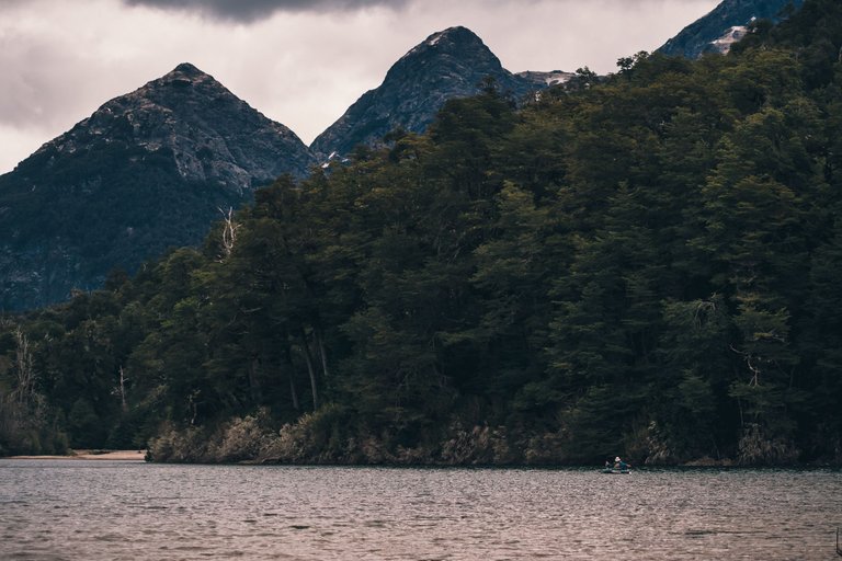
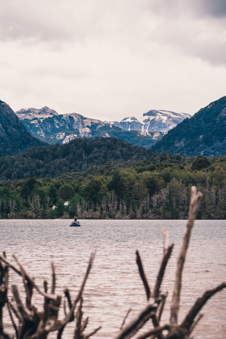
What followed is what you see in these photos. Cross the mountain range towards Chile through the Cardenal Samoré Pass with a height of 1321 meters above sea level at its maximum point and 93 km between Villa la Angotura and Puyehue (our starting and finishing point in this section of the trip)
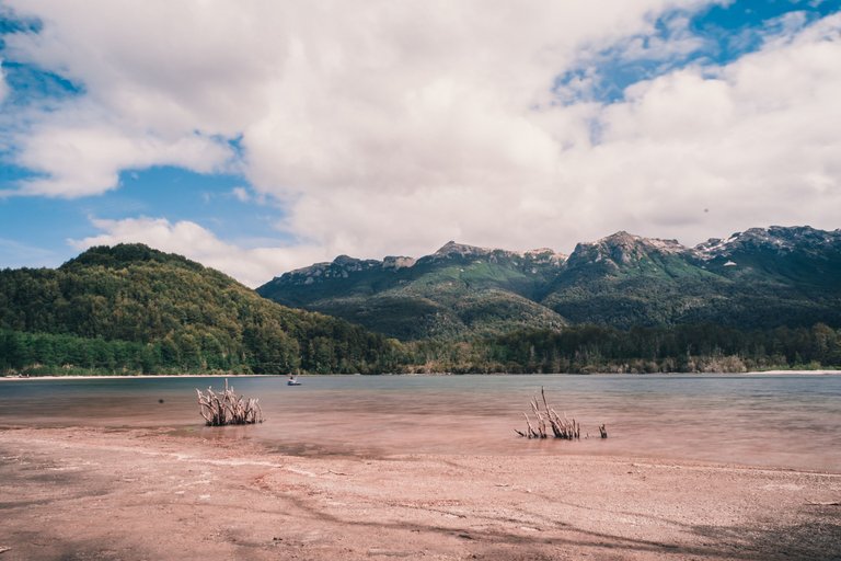
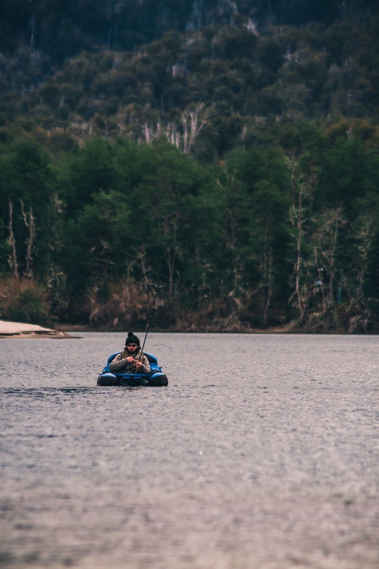
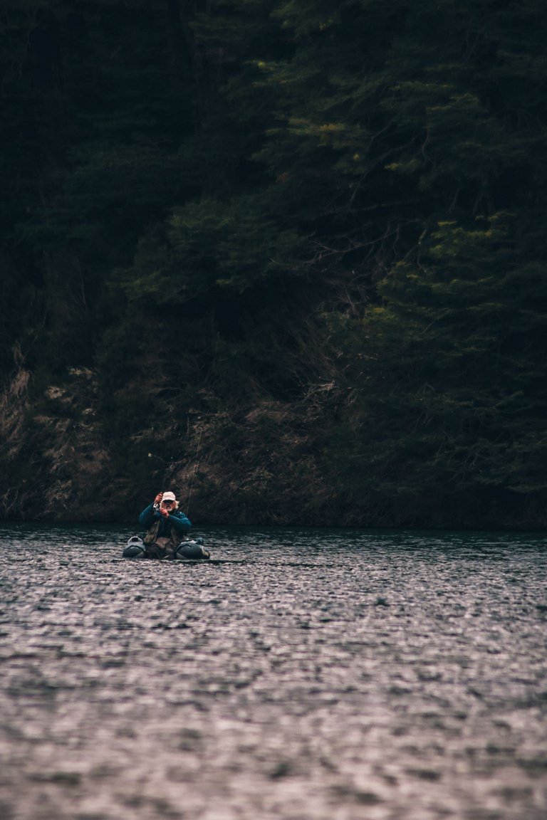
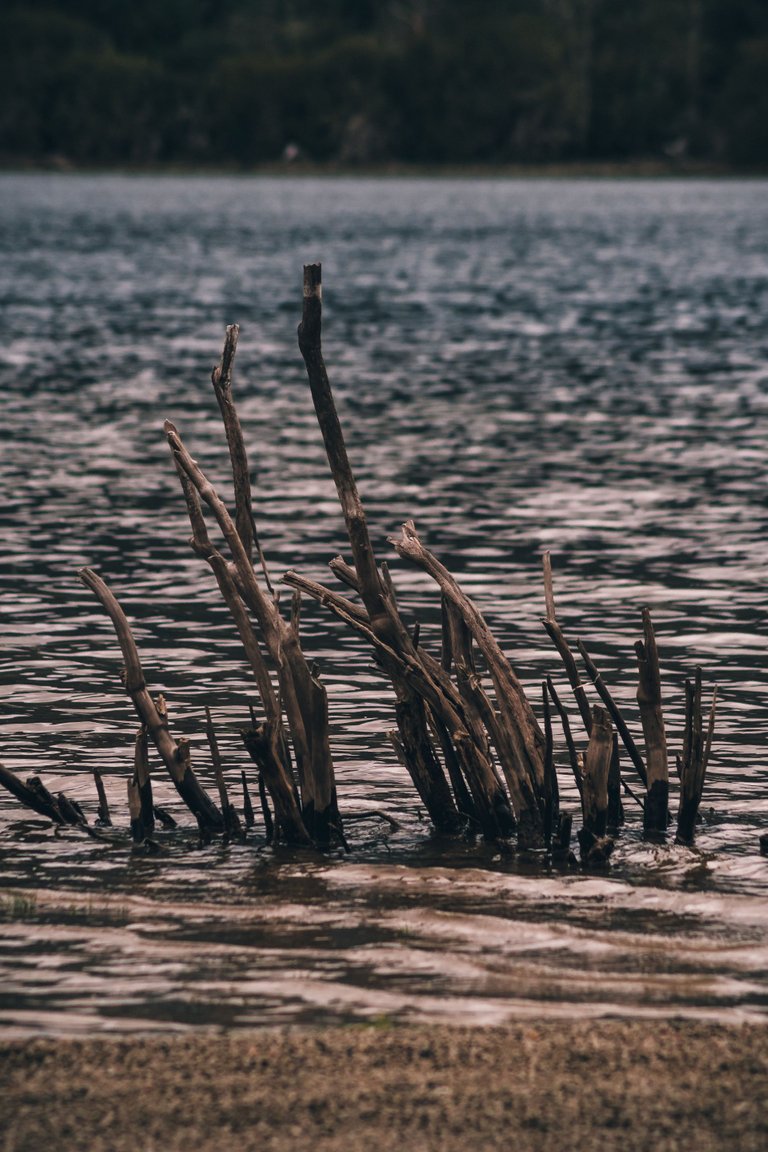
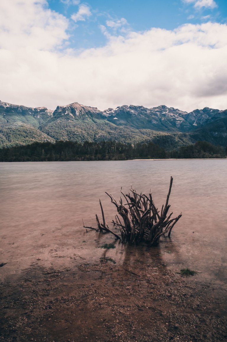
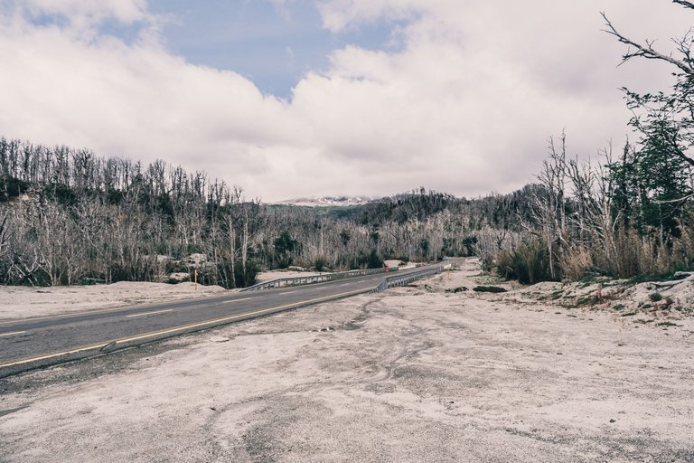
Given the accumulated unevenness, we decided to go through it in 3 stages. The first stop was planned at Lake El Rincón where we stopped to rest and have a coffee while we watched the sunset before setting up the tent. In the course of the afternoon, while we were looking for the ideal surface, we first came across some mice sniffing around the area, until at one point we began to spot dead mice floating in the water, which made too much of an impression on us, especially having consider the Hanta Virus outbreak that had struck the region a short time ago. We decided to pick up our equipment and go back on the road in search of a safer place. So it was that we arrived at a campsite on the side of the route where Betty offers a large green space and a bathroom for those who walk around the area, mainly by bicycle. There we shared the afternoon with her two daughters and some adorable little-week-old kittens. Betty's husband told us about how the area recovered after the last eruption of the Puyehue Volcano in 2012, of which there are still remains of the ashes on the sides of the road.
Español
Ya habíamos superado el umbral de la incertidumbre de salir a la ruta con las bicis y las alforjas, el manillar ya no temblaba y todo el equipo de viaje empezaba a mimetizarse con nosotros, como una extension de nuestro cuerpo.
Lo que seguía es lo que se ve en estas fotos. Cruzar la cordillera hacia Chile por el Paso Cardenal Samoré con una altura de 1321 metros sobre el nivel del mar en su punto máximo y 93 kms entre Villa la Angotura y Puyehue (nuestro punto de partida y llegada en este tramo del viaje)
Dado el desnivel acumulado decidimos recorrerlo en 3 etapas. La primera parada estaba planeada en el Lago El Rincón donde paramos a descansar y tomar un café mientras veíamos el atardecer antes de montar la carpa. En el transcurso de la tarde, mientras buscábamos la superficie ideal, nos encontramos, primero con alguno ratones husmeando por la zona, hasta que en un momento empezamos a avistar ratones muertos flotando en el agua, lo que nos causó demasiada impresión, sobre todo teniendo en cuenta el brote de Hanta Virus que había azotado a la región poco tiempo atrás. Decidimos levantar nuestro equipo y salir de nuevo a la ruta en busca de un lugar más seguro. Así fue que llegamos a un camping al costado de la ruta donde Betty ofrece un amplio espacio verde y un baño para quienes andan recorriendo la zona, principalmente en bicicleta. Ahí compartimos la tarde con sus dos hijas y unos adorables gatitos de pocas semanas. El marido de Betty nos hablo de cómo se recuperó la zona luego de la última erupción del Volcán Puyehue en el año 2012, del cual aún quedan restos de las cenizas a los costados del camino.
English
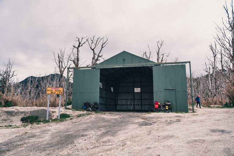
The next day and uphill we appreciated the transformation of the landscape from the most colorful and exuberant vegetation, passing through areas of ash where nature struggled through the years gradually recovering its splendor expressed in voluptuous lupines of pink, white and turquoise tones, and reaching the top, the hostility of the frozen Patagonian wind seems to keep the dead forest like an eternal postcard, suddenly the landscape becomes a monochromatic sequence stopped in time. There, exceeding 1,300 meters above sea level, the sign indicates the welcome to Chile. A few meters later, a huge shed that in times of frost and snow works to place chains on the wheels of the trucks, we take refuge to warm the body with an infusion and recharge with quince paste and cheese.
After the top, a long and pleasant descent of 30kms awaited us that took us just over half an hour to travel.
Here we stop in the patio of ¨Tia Olivia¨ where we set up the tent in her patio surrounded by ducks. Tia Olivia cooks some Chilean empanadas, famous in the region for their size and flavor (A must to try at whatever your first stop in Chile is)
After resting one night and as the last stage of this section we arrived at Entre Lagos, a charming town with the most friendly people where the rain forced us to rest for two days.
Español
Al día siguiente y cuesta arriba fuimos apreciando la transformación del paisaje desde la más colorida y exuberante vegetación, pasando por zonas de cenizas donde la naturaleza luchó a través de los años recuperando gradualmente su esplendor expresado en voluptuosos lupinos de tonos rosados, blancos y turquesas, y llegando a la cima la hostilidad del viento helado de la Patagonia parece mantener como una postal eterna el bosque muerto, de repente el paisaje se convierte en una secuencia monocromática detenida en el tiempo. Ahí, superando los 1300 metros sobre el nivel del mar el cartel indica la bienvenida a Chile. pocos metros después un enorme galpón que en épocas de heladas y nieve funciona para colocar cadenas en las ruedas de los camiones nos refugiamos para calentar el cuerpo con una infusión y recargar energías con dulce de membrillo y queso.
Superada la cima, nos esperaba una larga y placentera bajada de 30kms que nos llego apenas poco más de media hora recorrer.
Aquí paramos en el patio de ¨Tia Olivia¨ donde montamos la carpa en su patio rodeados de patos. Tia Olivia cocina unas empanadas empanadas chilenas, famosas en la región por su tamaño y sabor (Obligación de probar en cualquiera sea tu primer parada en Chile)
Luego de descansar una noche y como última etapa de este tramo llegamos a Entre Lagos, encantador pueblo con gente de lo más amable donde la lluvia nos obligó a descansar por dos días.
All Photos are taken by me and story telling is by @ela.muds.
Congratulations @nicolasdosse! You have completed the following achievement on the Hive blockchain and have been rewarded with new badge(s) :
Your next target is to reach 1000 upvotes.
Your next target is to reach 9000 upvotes.
You can view your badges on your board and compare yourself to others in the Ranking
If you no longer want to receive notifications, reply to this comment with the word
STOPSupport the HiveBuzz project. Vote for our proposal!
You awakened my wanderlust!
beautiful pictures!
!invest_vote
thaanks!!! that is the goal for all of this! Im happy you like it!
@solymi denkt du hast ein Vote durch @investinthefutur verdient!
@solymi thinks you have earned a vote of @investinthefutur !