This was last Thursday, but I've just selected the pictures for my next Blue Trail post.
First of all, I hadn't planned anything in advance, and when I woke up early in the morning I didn't even know where I was going. That day was Mobility Day, which meant I could travel for free anywhere in the country from 0-24 hours, or more precisely, I only had to buy the first ticket and show it on buses and trains.
At first, I thought it would be a good idea to wrap around Lake Balaton, but then I dropped the idea. My second thought was the Pilis Mountains, where I had last been in mid-summer and was eager to return.
If Pilis, then Dobogókő, and a section of the Blue Trail! By the time I'd made it through Budapest and the crowded public transport, too much time had passed. But I did take the local train to Pomaz, so I could catch a bus to Dobogókő.
In Pomaz I had to wait almost an hour because I missed the previous bus. So it was almost noon when I arrived in Dobogókő.
What was my time enough for? Not for a 20 km hike! But for a short stretch on the Blue Trail, yes!
I quickly stamped it in my booklet, then set off for Pilisszentkereszt, which is close enough, just under an hour and a half's moderate walk. When I got to the "Zsivány" cliffs, I found myself in the middle of a filming of an American series. It was no problem, because they were on their lunch break.
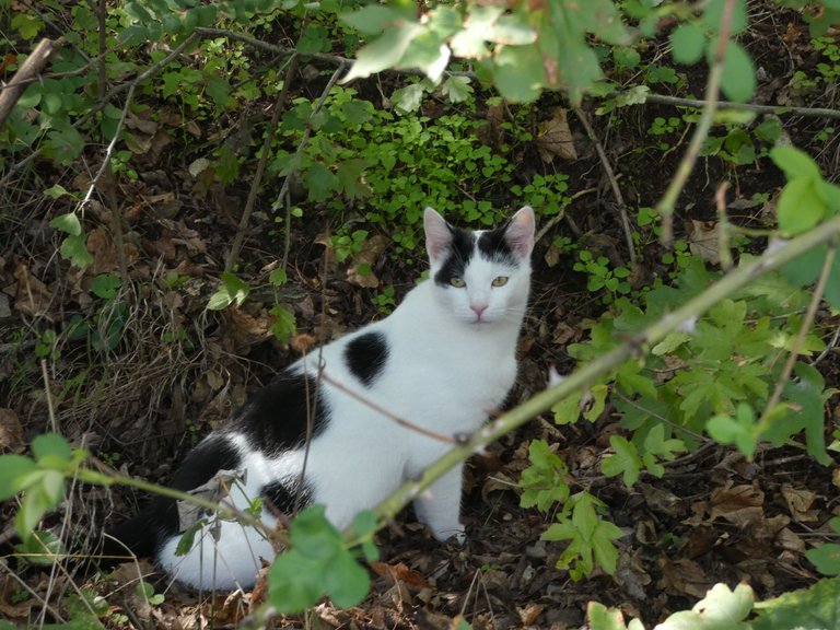
It was easy going and the weather was beautiful. When I spotted a beautiful, well-fed cat in the woods, I knew I was about to be in a residential area.
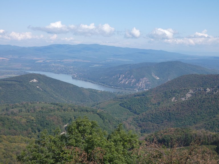
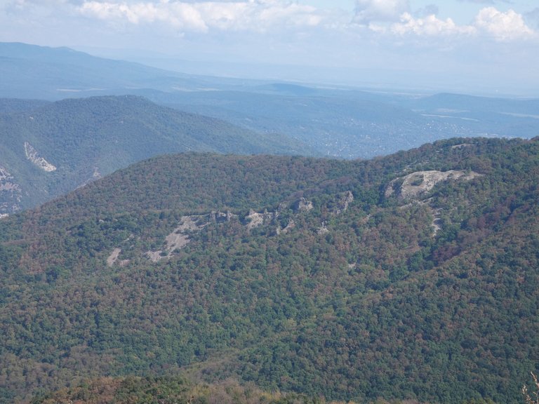
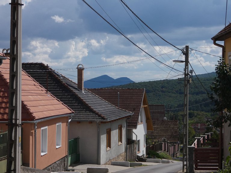
And yes, I arrived at Pilisszentkereszt, from where I had a beautiful view of the Kevély mountain range (the two hills in the middle). At first I had the twin hills of Kevély in mind as a destination, but then I had to give up on getting there in time, because it was still 11 km from the village. This would not have been a problem on flat terrain, but over gorges and ridges it would have been a serious challenge.
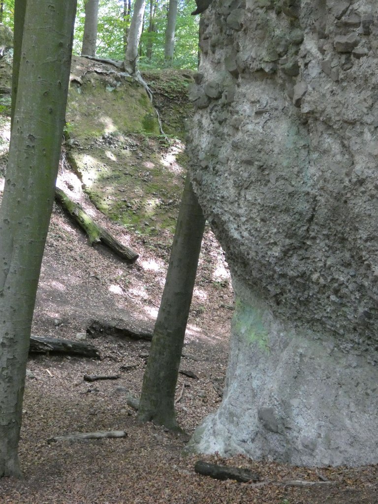
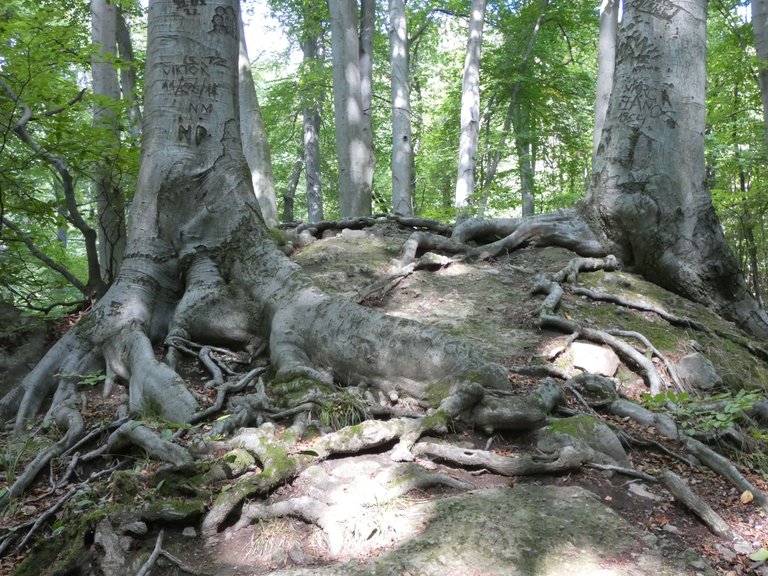
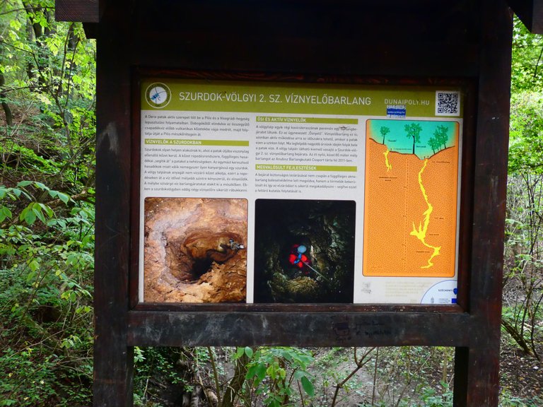
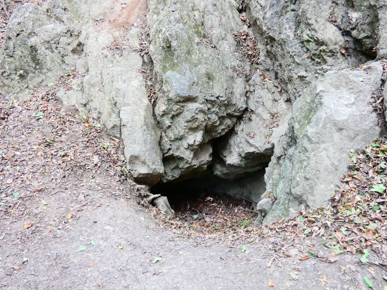
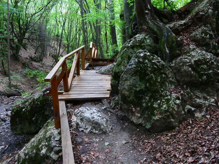
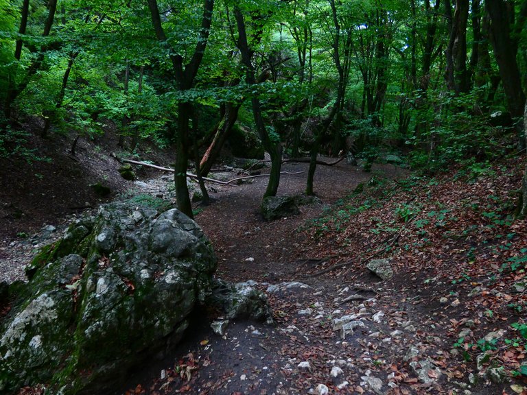
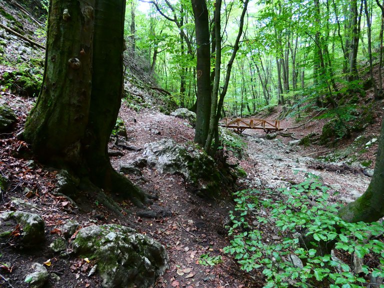
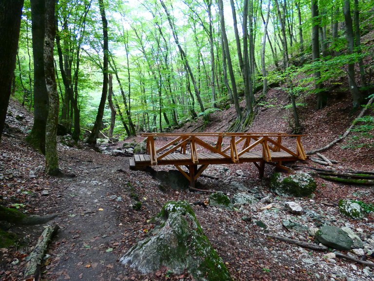
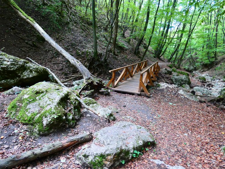
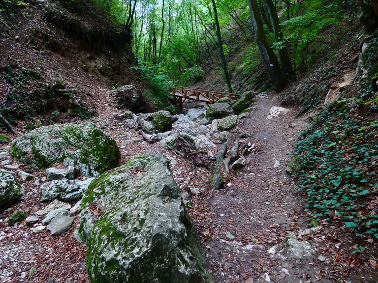
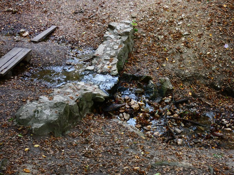
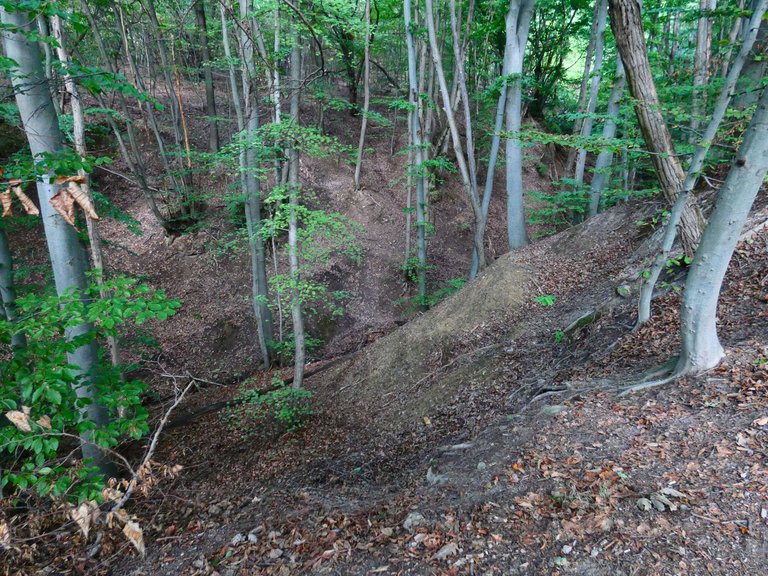
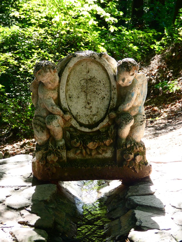
And now it's getting dark relatively early, and the deer come out late in the afternoon to fight. I could hear them bellowing, they were only 200 meters away from me! But the Dera Gorge was close and I couldn't miss it! I hadn't been there in a long time, maybe 8 years, and in winter, when many of the rocks were covered with ice and not yet safely bridged.
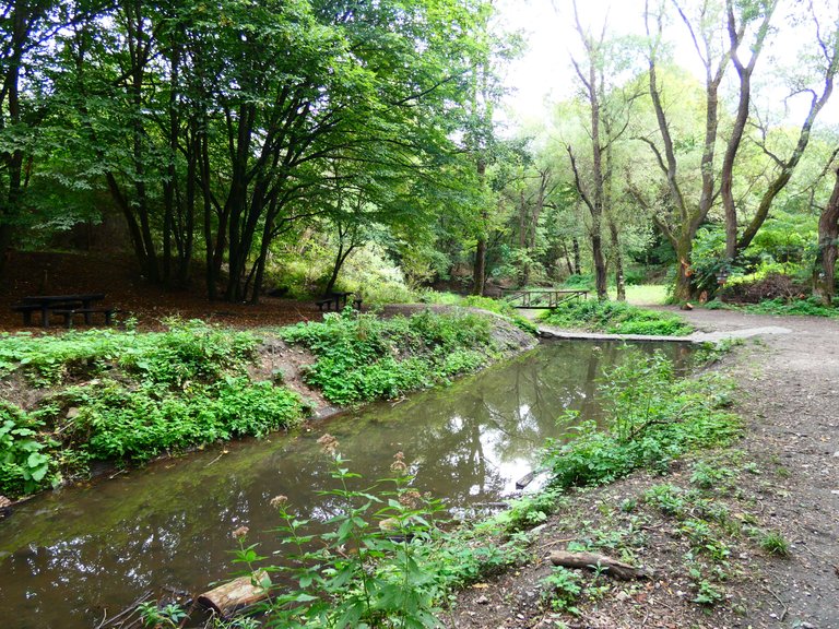
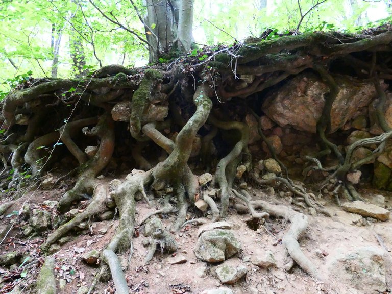
The gorge has sinkholes, some of which have been discovered by cavers.
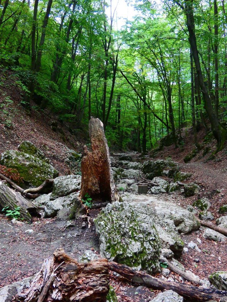
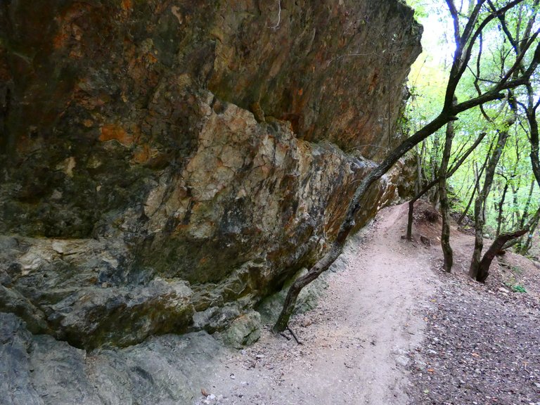
The gorge is a magical place! The bridges and steps are safe to walk on, and there are tourists during the week, but not as many as on weekends.
There is an intermittent flow of water between the rocks during very rainy periods. Now, because of the dry summer, there was no water.
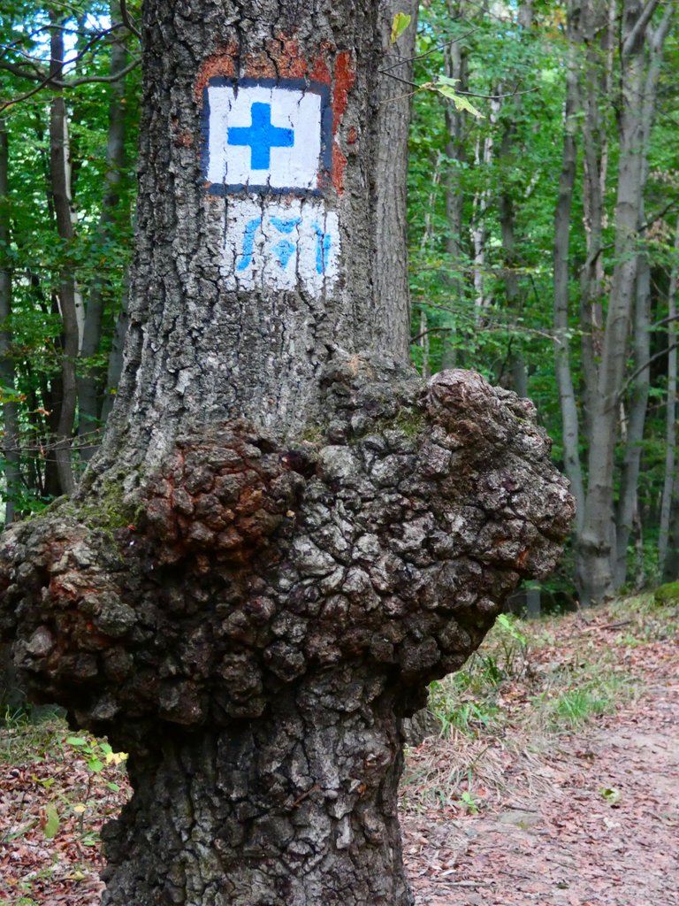
Of course, the Blue Trail also runs through here, but the nearest stamping point is in the Kevély ridge, which I didn't get to. But my water was running low, and I knew there was a wonderful spring nearby!
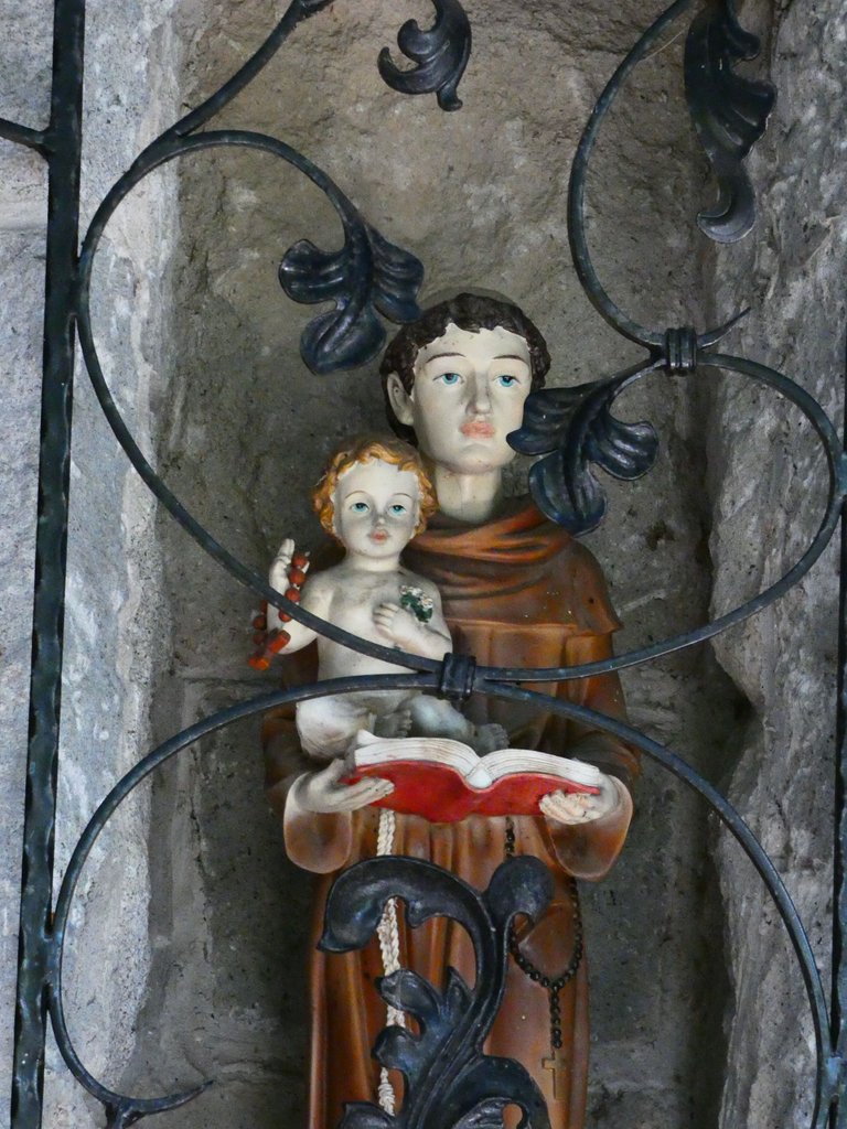
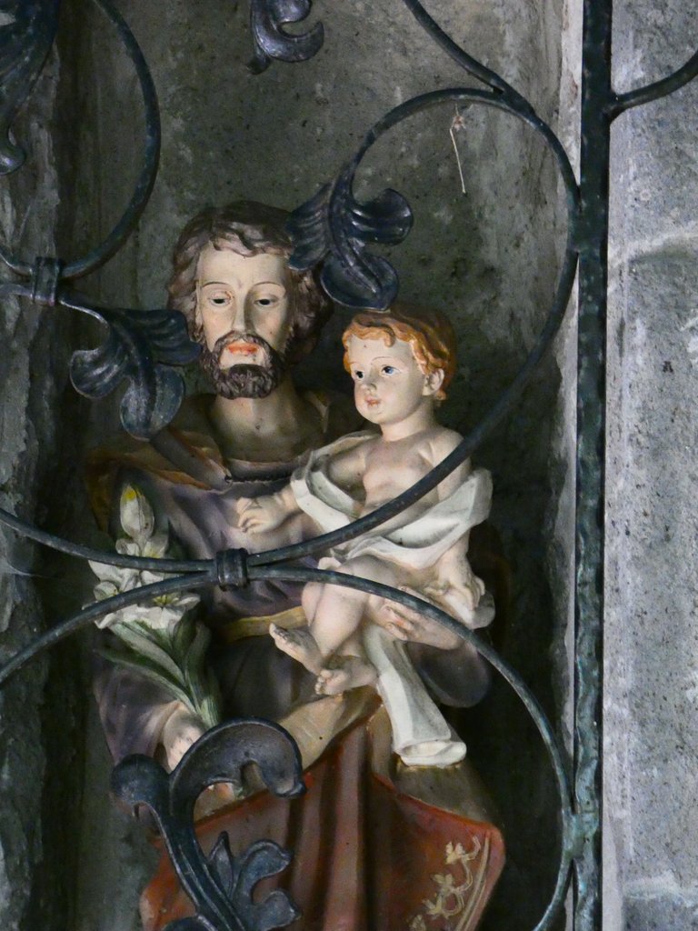
The Blue Cross and the Way of St. Mary led to the same place, the Fountain of St. Mary!
And I have arrived at this magical holy place, which is very peaceful and has the healing power of water!
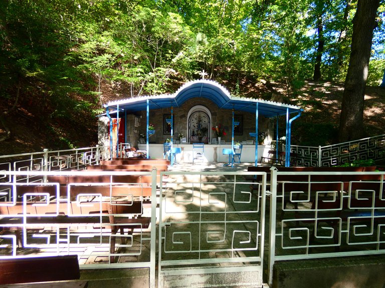
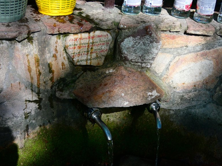
I spent a longer time here and prayed.
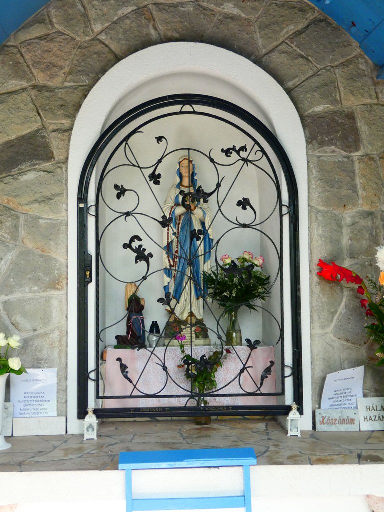
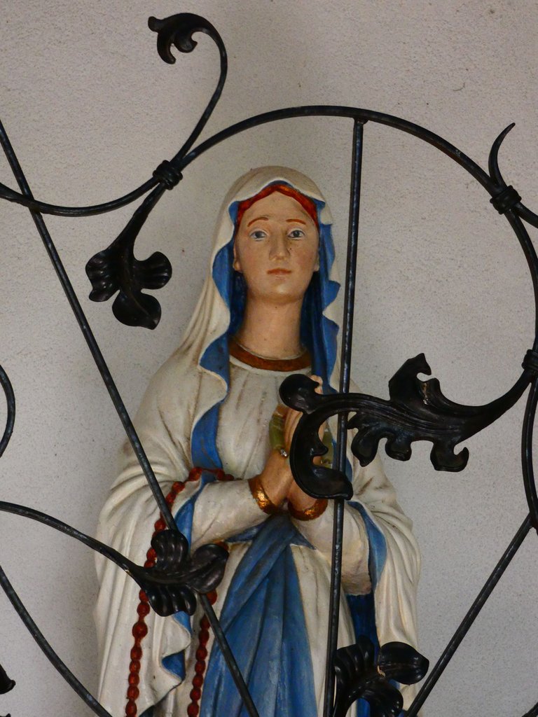
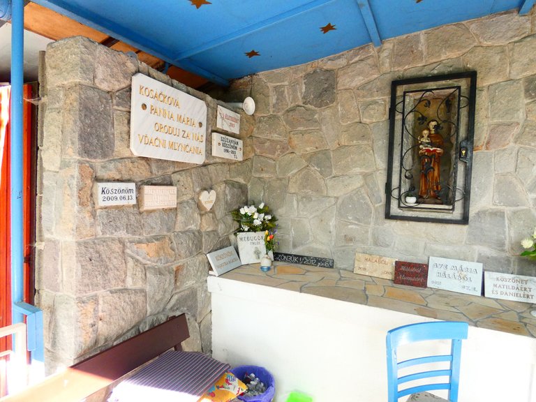
Over the years, a lot of people have brought in small plaques with thank-you notes that they have been healed.
I'm pretty healthy, but the water gave me strength for another stretch, to another holy place nearby, but I'll write about that tomorrow.