**Gambaga Scarp, line of cliffs along the Volta River basin, northeastern Ghana, western Africa. The scarp forms the elevated northern boundary of the Volta River basin and the eastern section of the granite plateaus of Wa and Mamprusi. To the south is another narrow plateau, followed by a gradual descent to the surrounding land.
Gambaga Scarp | Volcanic
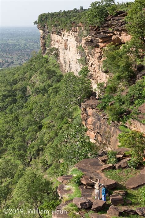
**The Gambaga Escarpment, also known as the Gambaga Scarp, extends approximately 100km along the Volta River basin in northeastern Ghana, West Africa.
It forms the elevated northern boundary of the Volta River basin and is part of the granite plateaus of Wa and Mamprusi. Composed of horizontal layers of sandstone, the escarpment redirects the southbound White Volta River westward until it resumes its southward course at Kpasinkpe. Named after Gambaga, the capital of the ancient Mamprugu Kingdom, the escarpment holds deep historical significance tied to the region's cultural heritage. Gambaga, the capital of the Mamprugu Kingdom, led by the renowned warrior Tohazie, is emblematic of the area's vibrant history.
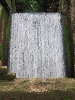
The Gambaga Scarp attracts visitors interested in its geological features and cultural landmarks, with hiking being the recommended way to explore it. Nakpanduri serves as a popular starting point due to its accessibility and panoramic views. Gambaga itself, a former cotton-collecting center turned hill station, is accessible via a main road connecting it to Walewale and Kumasi. Notably, Gambaga is home to the Gambaga Witch Camp, offering insight into enduring cultural beliefs in Ghana. The Gambaga Escarpment is also extended to Nakpanduri where you fine the waterfalls etc.**
**
Hello greetings, welcome to the platform, this very nice your publication, a hug, I hope you enjoy many.
Thank you sir
Very nice waterfall... Can people swim in there?
Yes. It is a nice place for swimming
Very cool 😎
Yes