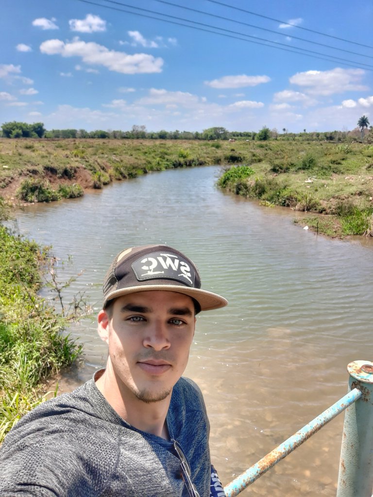
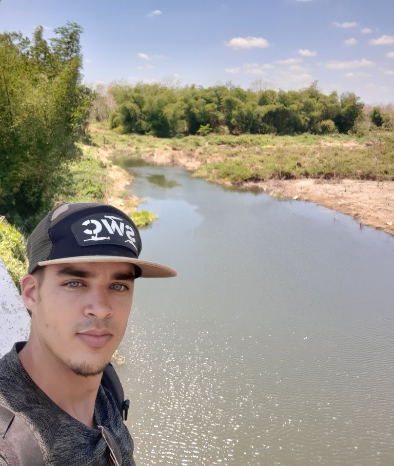
Greetings friends and members of the community. Yesterday I participated with some colleagues from the Institute of Geology in a day of travel and exploration in areas of the sub-basins that feed the Almendares River, one of the most important in the western region of Cuba.
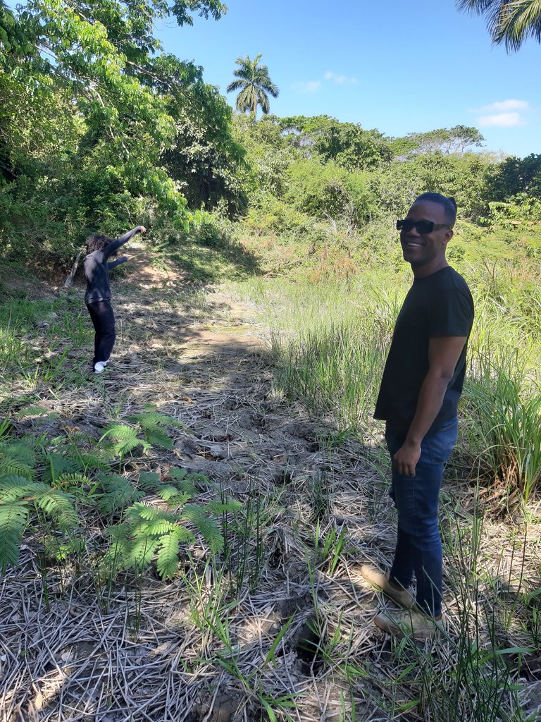
 Teamwork
The objective of this campaign was to carry out a general reconnaissance of the Almendares River basin region and its small tributary rivers that feed the Almendares River, as part of the study being carried out by the Geological Survey of Cuba on this important regional environmental unit, which has subway communication with the Vento aquifer, the main source of drinking water supply to the Cuban capital, so it is extremely important to carefully study the current state of the environment and the quality of surface water in order to avoid major problems of subway contamination.
Teamwork
The objective of this campaign was to carry out a general reconnaissance of the Almendares River basin region and its small tributary rivers that feed the Almendares River, as part of the study being carried out by the Geological Survey of Cuba on this important regional environmental unit, which has subway communication with the Vento aquifer, the main source of drinking water supply to the Cuban capital, so it is extremely important to carefully study the current state of the environment and the quality of surface water in order to avoid major problems of subway contamination.
 Almendares river
The tour started from the easternmost and highest part of the basin, and as the first point of exploration we stopped in an area that is considered the most remote part of the river courses that feed the Almendares, which in the maps indicate that they are born on the western slope of the Tapaste hills, in the province of Mayabeque, more than 26 km from the mouth in a straight line. The problem here was that these more remote water currents are intermittent (they are not constant, but appear in rainy times), so it was necessary to find traces of the water current in the field, something that in other explorations they had not found.
Almendares river
The tour started from the easternmost and highest part of the basin, and as the first point of exploration we stopped in an area that is considered the most remote part of the river courses that feed the Almendares, which in the maps indicate that they are born on the western slope of the Tapaste hills, in the province of Mayabeque, more than 26 km from the mouth in a straight line. The problem here was that these more remote water currents are intermittent (they are not constant, but appear in rainy times), so it was necessary to find traces of the water current in the field, something that in other explorations they had not found.
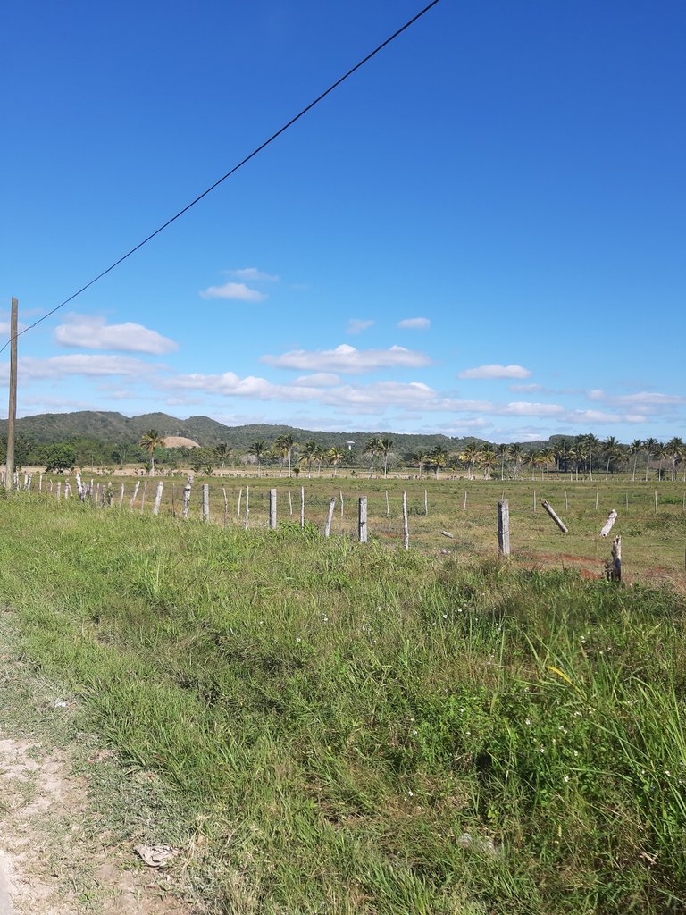 Lomas de Tapaste in the background, where the most remote streams of the Almendares are born.
So we set out to explore aided by the GPS, and to our good fortune, we found the traces of the most distant intermittent fluvial courses tributary to the Almendares River, whose traces in the terrain were marked by ditches with wet soil and many accumulated rocks, evidence of the movement and dragging of runoff waters; all this, while we also enjoyed the beauty and greenery of the landscapes of the place. These ephemeral streams create the Limón River, which was determined to be the farthest tributary of the Main River, coming from the northern part of the basin.
Lomas de Tapaste in the background, where the most remote streams of the Almendares are born.
So we set out to explore aided by the GPS, and to our good fortune, we found the traces of the most distant intermittent fluvial courses tributary to the Almendares River, whose traces in the terrain were marked by ditches with wet soil and many accumulated rocks, evidence of the movement and dragging of runoff waters; all this, while we also enjoyed the beauty and greenery of the landscapes of the place. These ephemeral streams create the Limón River, which was determined to be the farthest tributary of the Main River, coming from the northern part of the basin.
 Dry streambed


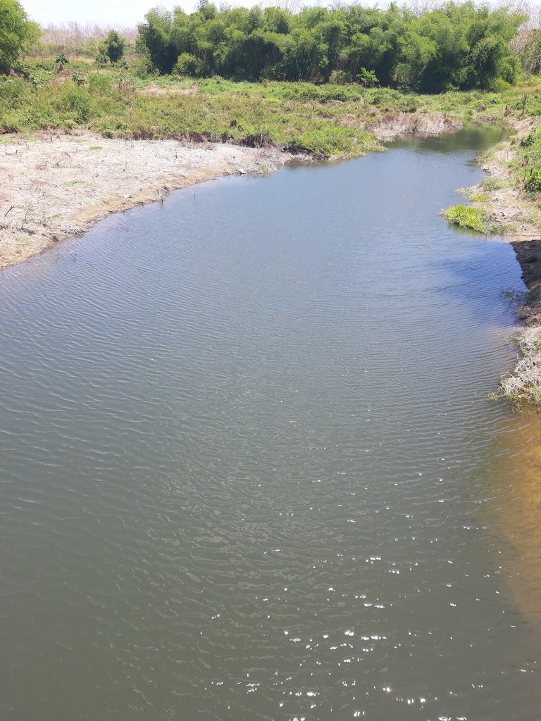
 From here we went to observe a confluence point where the waters of the Limón River meet with those of another tributary coming from the southern slope: the Chepalote River. Here we could see how the river courses at this point began to increase in volume and flow, organizing themselves into a complex hydrographic network that feeds the main river.
 Confluence of the Limón and Chepalote rivers
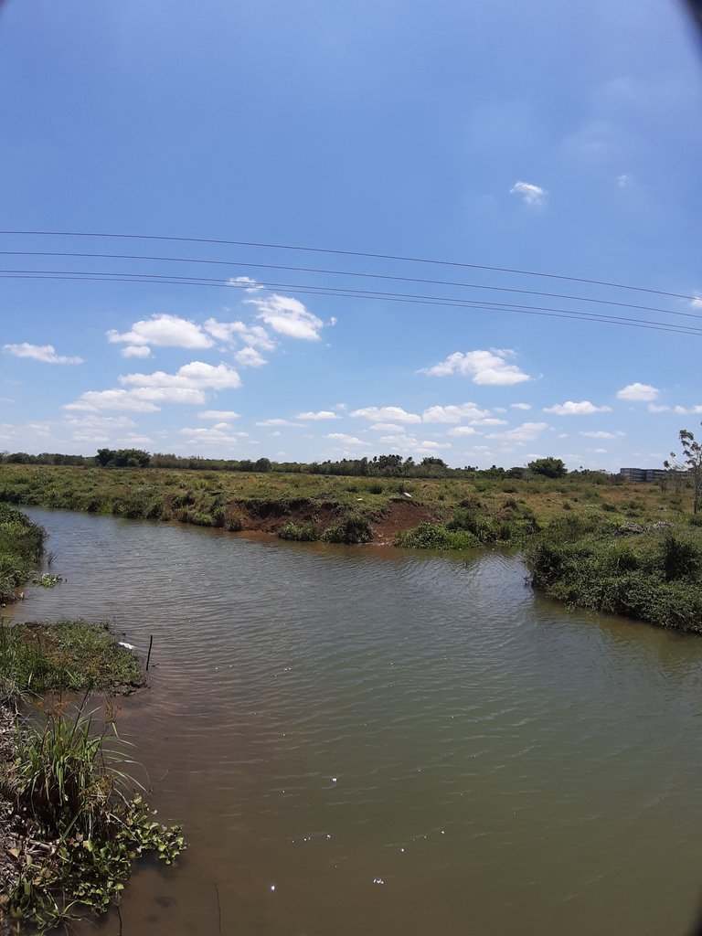
 And after many other general observations along the course of other small tributaries, we reached the western end of the middle basin of the Almendares River, where the river itself flows, fed by tributary streams, until it empties into the north coast of western Havana. And so, after a profitable day, we were all glad to have had a pleasant experience among colleagues observing the marvelous nature and specifically the nature of rivers, which are the arteries of the Earth.
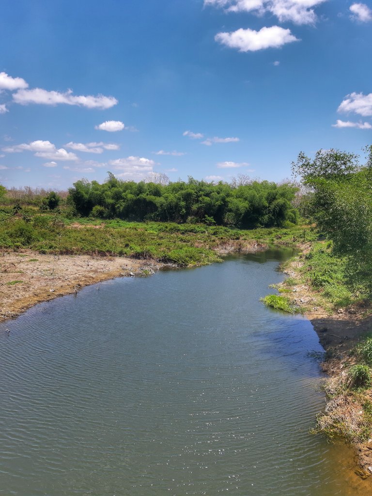 Almendares River in the western end of the middle part of its watershed

All images are my own, captured with the camera of my Samsung Galaxy A7 cell phone.
Translated at DeepL
Link
Thanks for your contribution to the STEMsocial community. Feel free to join us on discord to get to know the rest of us!
Please consider delegating to the @stemsocial account (85% of the curation rewards are returned).
You may also include @stemsocial as a beneficiary of the rewards of this post to get a stronger support.
Thank you very much!
Qué divertida se ve la aventura que tuvieron, explorando la cuenca del río Almendares. La belleza de la naturaleza del lugar realmente es agradable y también los detalles de las descripciones del viaje.