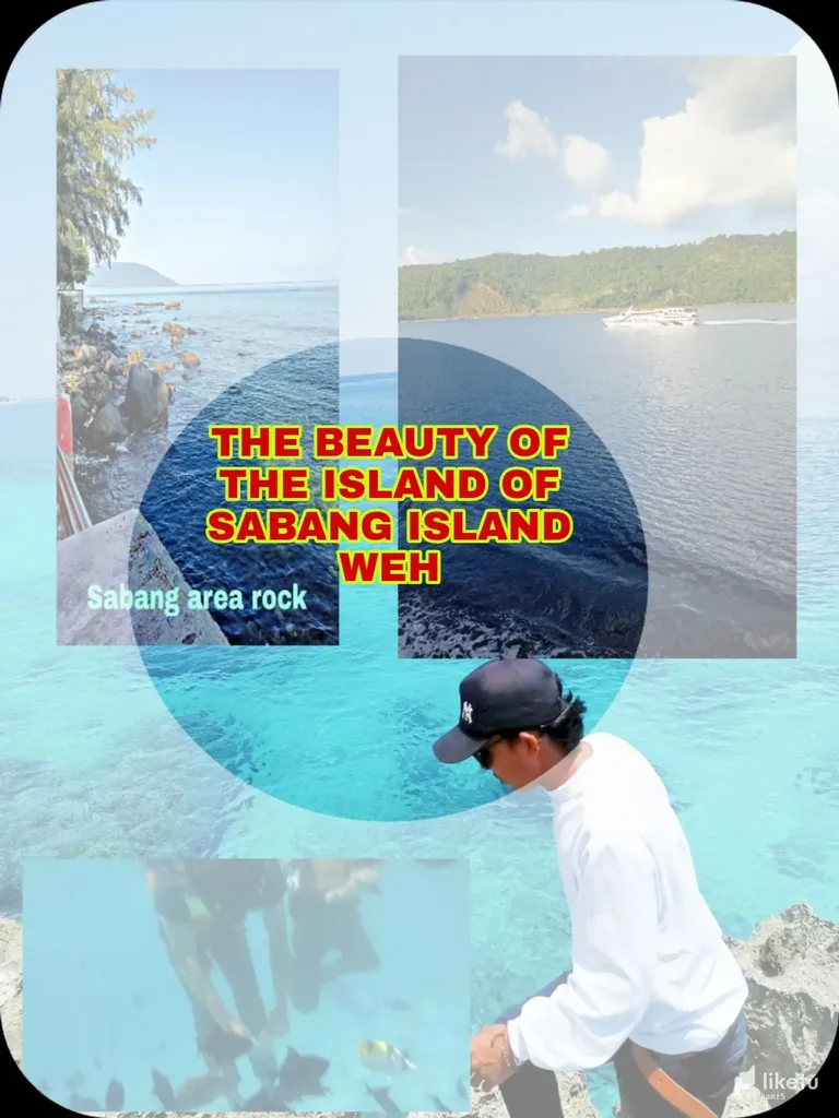
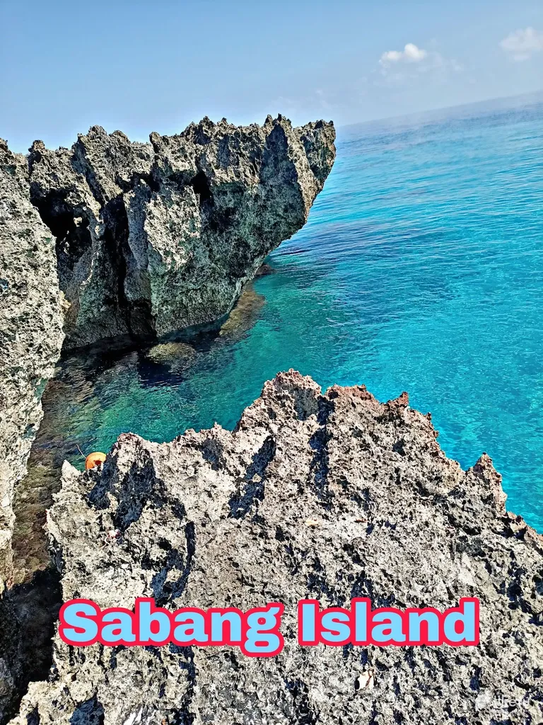
I again share some of the beautiful views of the island of Sabang and the sea of Sabang island
I've been here and almost every time I get a chance I always come here
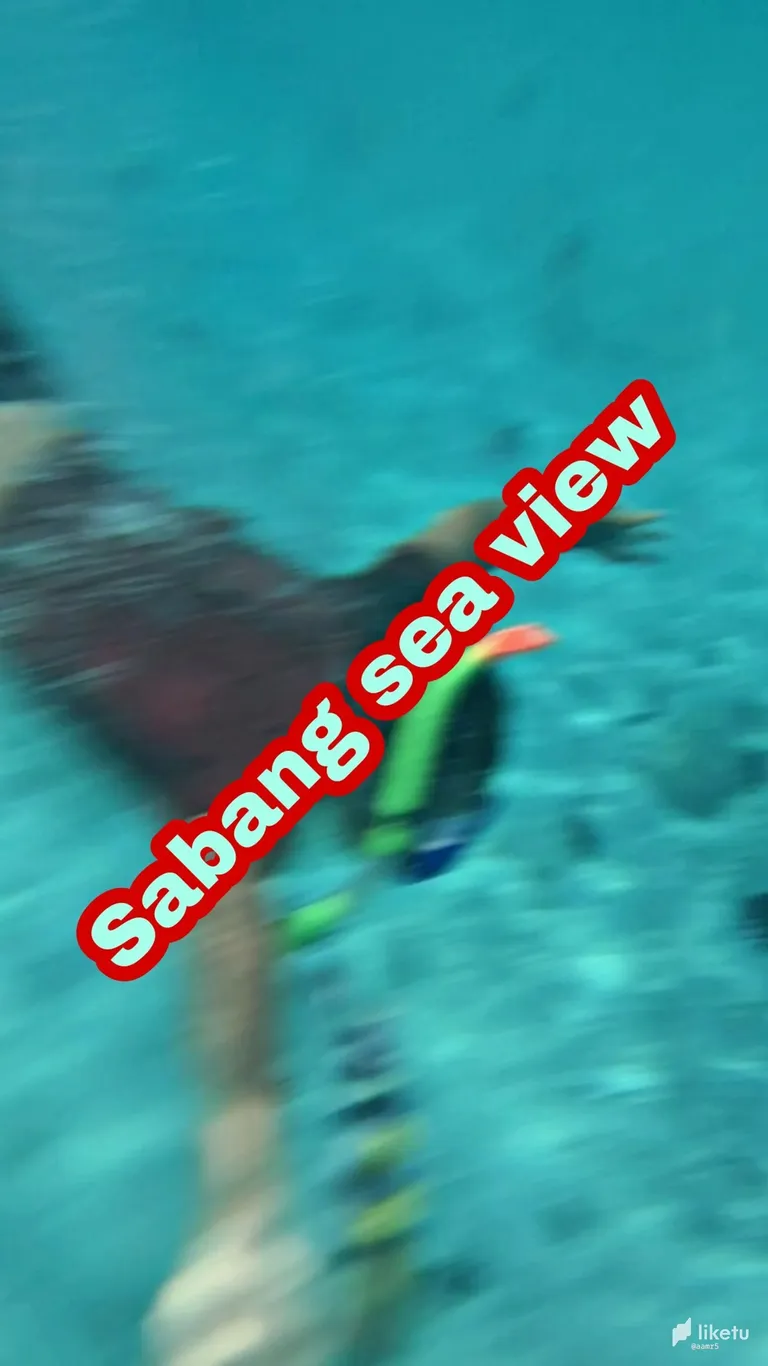
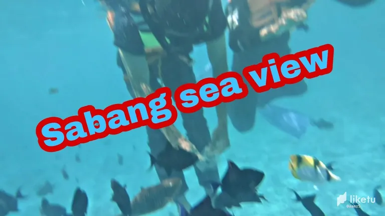
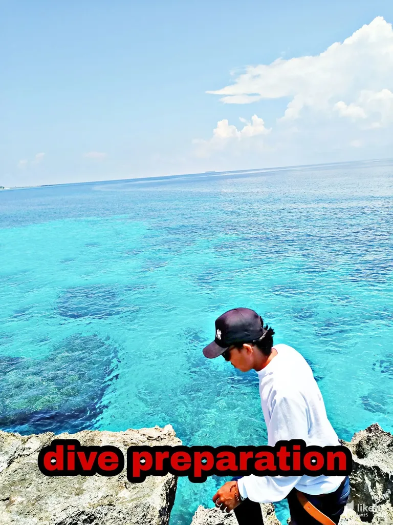
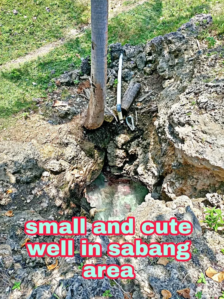
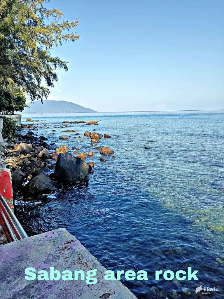
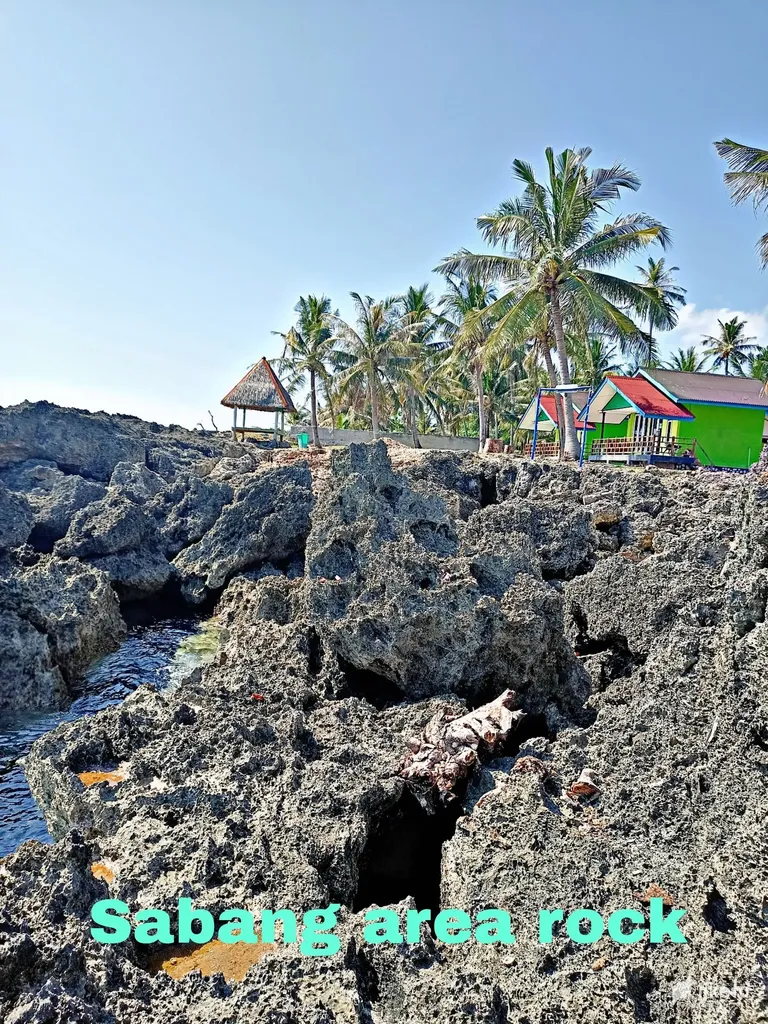
this is the rest of my trip yesterday with my friends in exploring this small island located at the end of the island of Aceh which has thousands of beauties, starting from the crossing to the scenery The ocean is very special, so many tourists don't want to miss seeing the beautiful island of Sabang firsthand, even many tourists from outside Indonesia visit the island.This one, especially if we really explore the beautiful places on this island, such as a unique well (small but very deep ) not to mention we dive to see the beauty in the sea of this island as we did the last few days the pebbles that surround the waters of this beautiful island So that it becomes more pleasing to the eye
Information about Sabang Island
Pulau Weh or also known as Pulau Sabang is a small volcanic island located northwest of Sumatra Island. This island was once connected to the island of Sumatra, but was then separated by the sea after the last volcanic eruption in the Pleistocene era. This island is located in the Andaman Sea
Luas: 120,7 km²
Ketinggian: 617 m
Provinsi: Aceh
The city of Sabang is the westernmost region in the Republic of Indonesia. Geographically, Sabang City is located at coordinates 05o 46' 28” – 05o 54' 28” North Latitude (N) and 95o 13' 02” – 95o22' 36' East Longitude (BT). The city of Sabang is bordered to the north and east by the Malacca Strait, to the south by the Bengal Strait and to the west by the Indonesian Ocean.
Geopolitically, Sabang City is very strategic, because it is directly with other countries such as India, Malaysia and Thailand and is an international shipping lane for ships that will enter and leave Indonesian ships from the west.
The city of Sabang consists of five (5) islands, namely Weh Island, Klah Island, Rubiah Island, Seulako Island and Rondo Island plus a group of stone islands in North Pantee. Weh Island is one of the largest islands and is the only island that is used as a settlement, while Rondo Island is one of the outer islands covering an area of + 15.6 km from Weh Island. (Figure 3) Administratively, Sabang City is divided into two sub-districts, namely Sukajaya District and Sukakarya District and is divided into 18 Gampong (villages).
The total land area of Sabang City is 153 km2 (Sabang in Figures 2009), consisting of Sukajaya District covering an area of 80 km2 and Sukakarya District covering 732 km. .95 ha), with a land area of 121.7 km2 (12,177.18 ha) and a water area of 920.5 km2 (92.052.77) ha. (Table 1)
Table 1. Land area of islands in Sabang City
NO NAME ISLAND LUAS (Ha)
1 weh 12,066.56
2 Klah 18.66
3 rubies 35.79
4 Seulako 5.5
5 rondo 50.67
Total Land Area 12,177.18
For the best experience view this post on Liketu