This year we finished the long trails of more than 20km to focus on other smaller ones but with better views. My adventure today consists of traveling about 40km south of Lisbon arriving at Sesimbra where we can find the wildest and most dangerous trails in Portugal. This area is known for being very high and surrounded by ravines so isolated that there are no telephone exchanges in the entire area. We will find a hidden unofficial trail that has some blue spots and that will allow us to enjoy something incredible... If you want to know then read my post!🌳🌵
Acabamos este ano los senderos largos de mas de 20km para centrarnos en otros pequenos pero con mejores vistas, mi aventura el dia de hoy consta en desplazarme unos 40km hacia el Sur de Lisboa llegando a Sesimbra donde podemos encontrar los senderos mas salvajes y peligrosos de Portugal, esta zona es conocida por ser muy elevada y estar rodeada de barrancos tan aislados que ni convertura de telefonos hay en toda el area, conseguiremos un sendero oculto no oficial que tiene unas manchas azules y que nos permitira disfrutar de algo increible... Si quieres saberlo entonces lee mi post!🌍🧭
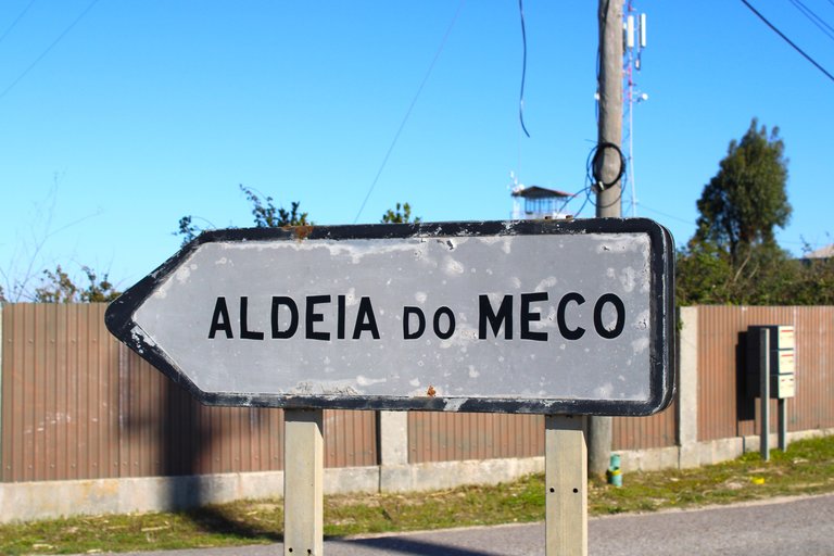
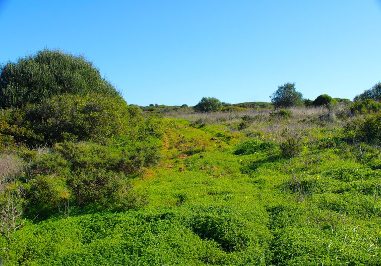
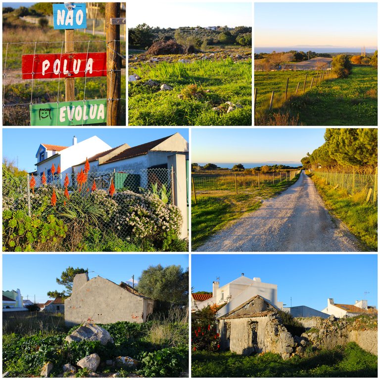
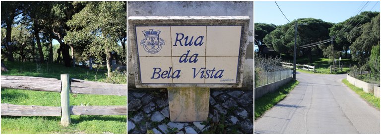
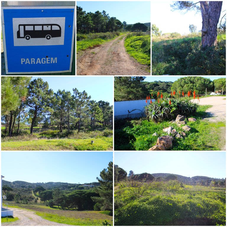
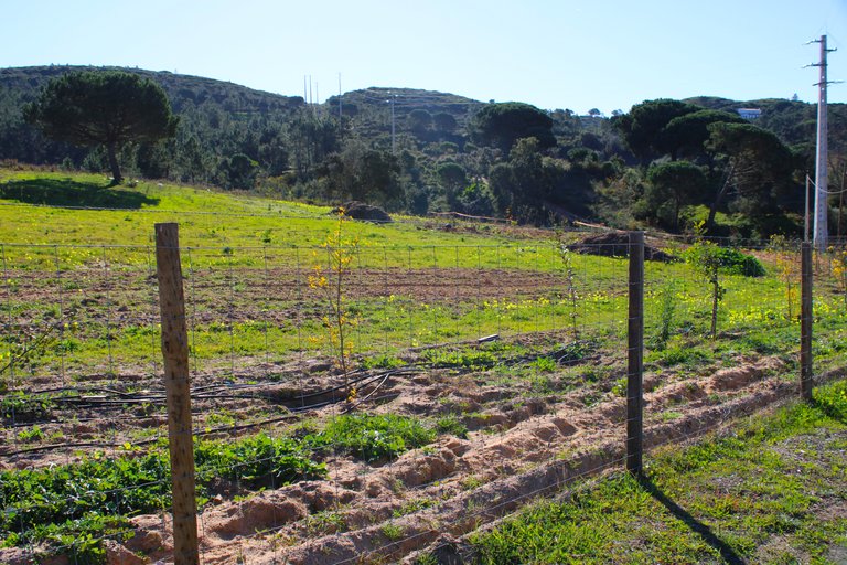
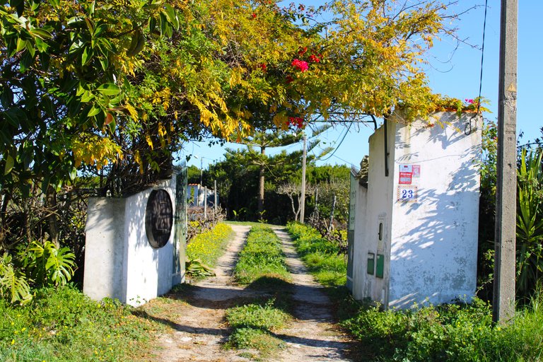
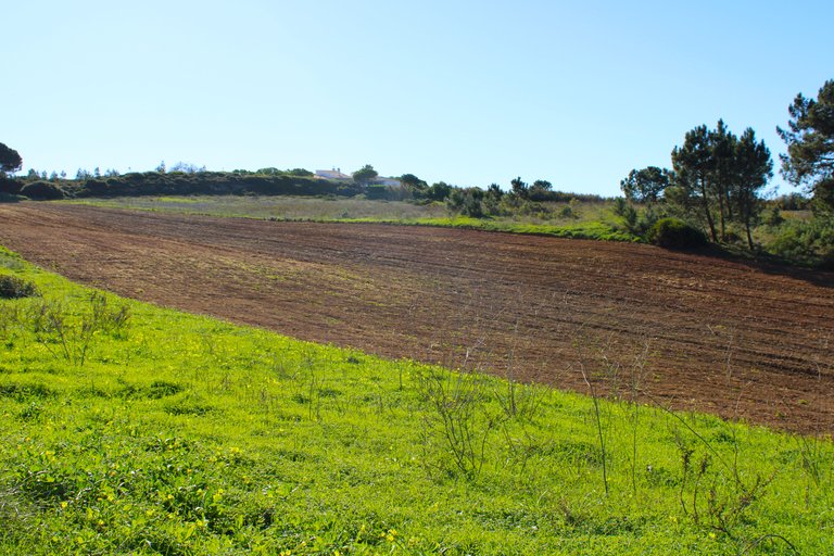
(38.436175, -9.167112) this is where I started the trail! which would be in a small village called: (Aldeia Nova), being an unofficial trail there are no signs of where you have to go, an unofficial trail is a person who was creating a route and was marking it for others to accompany, this clearly does not give you a sufficient level of confidence to know that the walk is safe, in reality you have to have experience and go following your instinct, I got lost twice but I found the route again.🧭🚙
(38.436175, -9.167112) es aqui donde comence el sendero! que seria en una pequena aldea llamada: (Aldeia Nova), al ser un sendero no oficial no existen senalizaciones de hacia donde tienes que ir, un sendero no oficial es una persona que fue creando una ruta y fue marcando para que otros acompanen, esto claramente no te da un nivel de confianza suficiente para saber que la caminata es segura, en realidad tienes que tener experiencia e ir siguiendo tu instinto yo me perdi dos veces pero consegui la ruta de nuevo.🏔️🧭
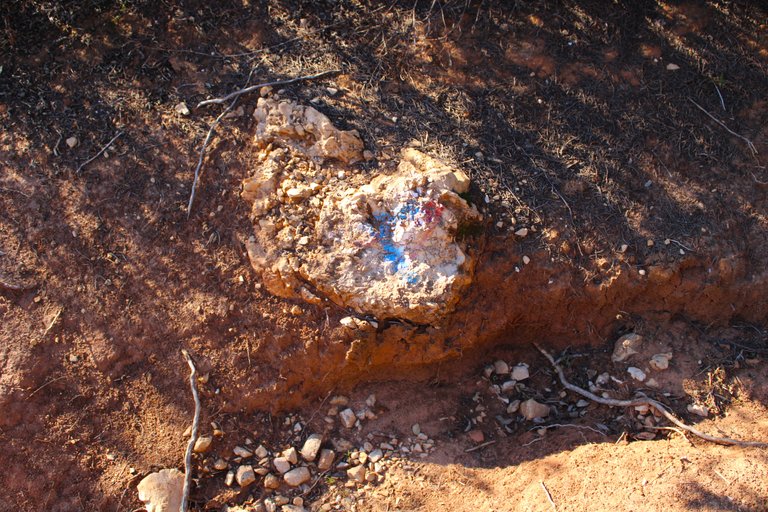
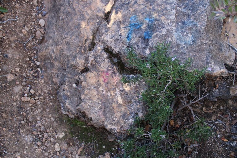
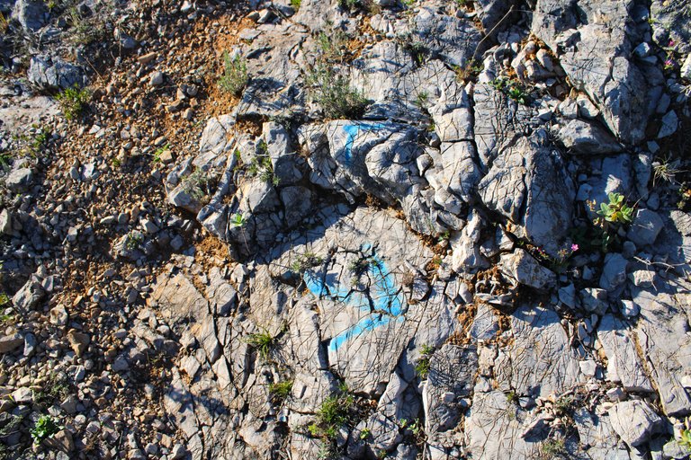
Since the trail does not have a name, I named it the blue trail because along its entire path there are blue spots and arrows that indicate where you have to go. As you advance, you will also come across some red spots; do not follow them because it is another trail.🏔️🚙
Como el sendero no tiene un nombre lo bautice sendero azul debido a que durante todo su trayecto hay manchas y flechas azules que te indican por donde tienes que ir, cuando vas avanzando tambien te toparas con unas manchas rojas esas no las sigas porque es otro sendero.🌍🌳
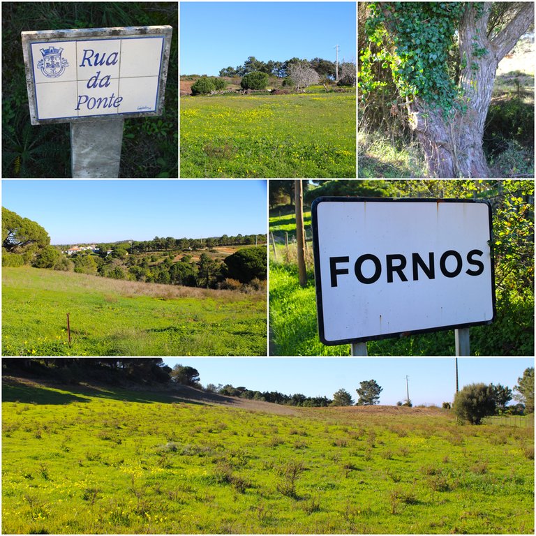
This village is very small and I think it is the only one we will pass through since the rest of the trail is along the mountainside. This area is called Sesimbra and is part of the extensive "sierra da arrabida", one of the most important forest reserves in Portugal. In addition, Sesimbra has large and beautiful beaches as well as luxury hotels and restaurants. On one occasion I made a post about the Sesimbra castle that I recommend you read.🌍🚙
Esta aldea es muy pequena y creo que es la unica por la que pasaremos ya que el resto del sendero es por la ladera de la montana, esta area se llama Sesimbra y forma parte de la extensa "sierra da arrabida" una de las mas importantes reservas forestales de Portugal, ademas sesimbra tiene grandes y hermosas playas asi como hoteles y restaurantes de lujos, en una ocasion hice un post del castillo de sesimbra que te recomiendo leerlo.🌄🌵
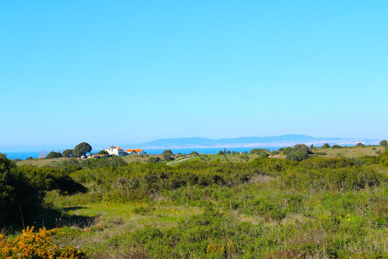
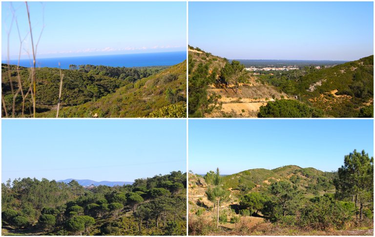
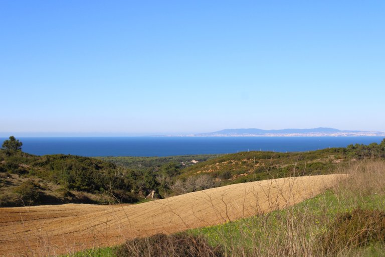
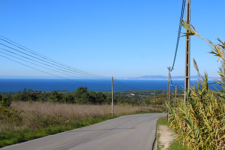
This image is quite funny. From more than 50km away we see the city of Lisbon, another thing to highlight in the photo is clearly the ocean, this is the Atlantic, another beautiful detail is being able to capture the Sierra de Mafra, here is where we find the "Palacio da Pena" among other important tourist things in the center of Lisbon.🧭
Esta imagen es bastante divertida a mas de 50km vemos la ciudad de lisboa, otra cosa para resaltar en la foto es claramente el oceano este es el atlantico, otro detalle hermoso es poder capturar la sierra de mafra, aqui es donde encontramos el "palacio da pena" entre otras cosas turisticas importantes del centro de lisboa.🌄

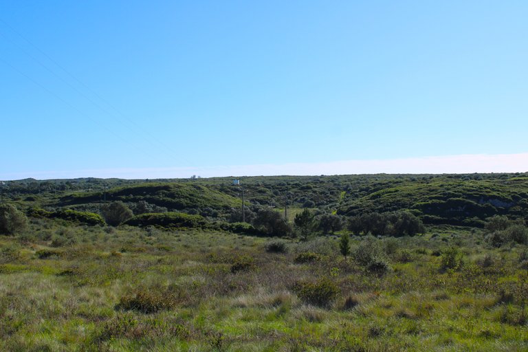
The wild side of the blue trail🌵🏡/El lado salvaje del sendero azul🚩🌍
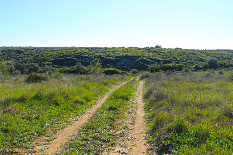
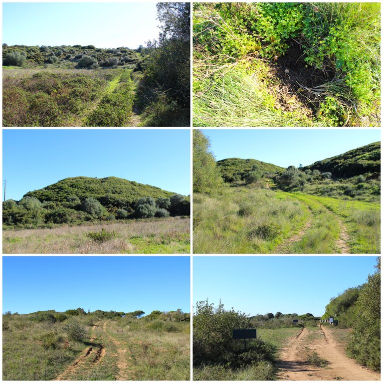
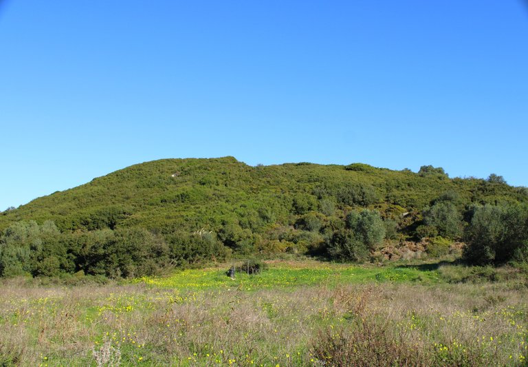
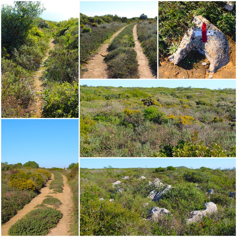
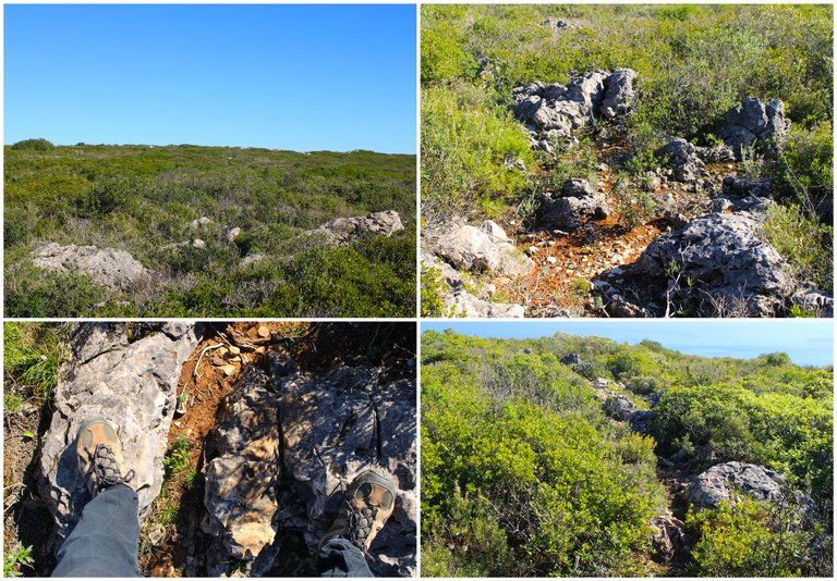
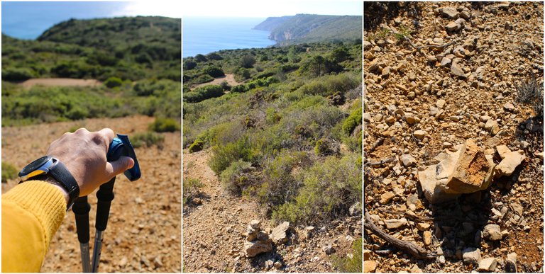
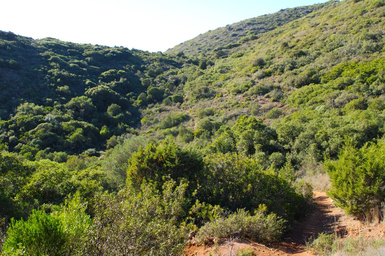
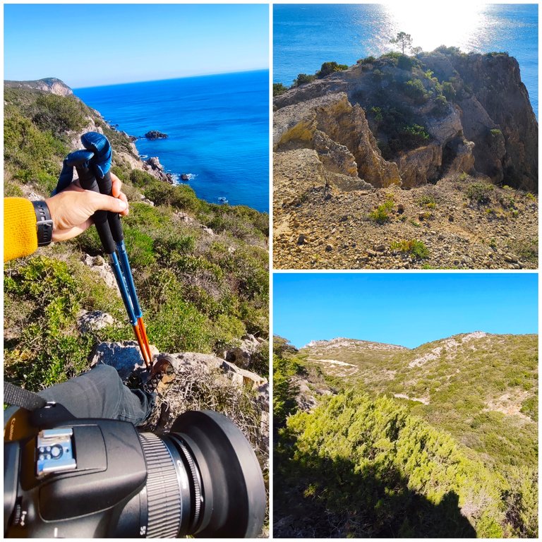
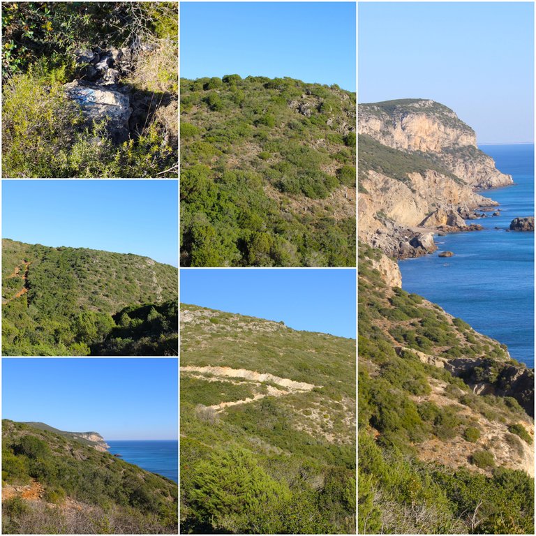
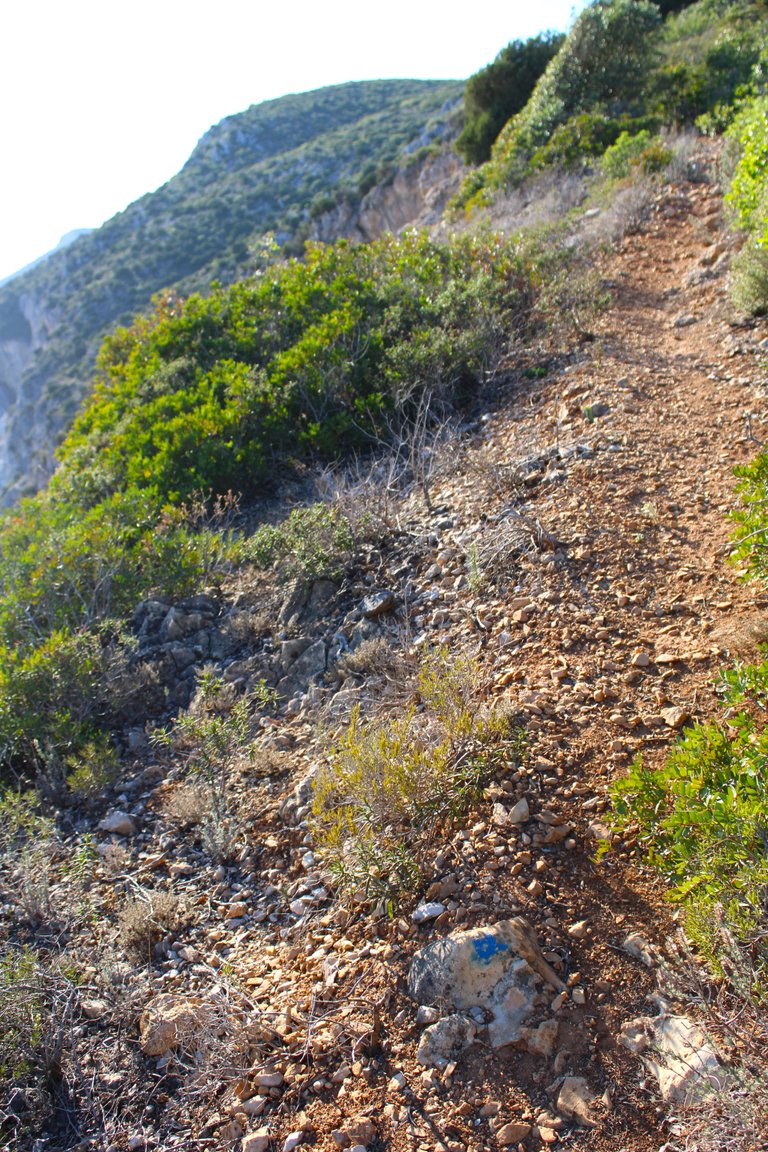
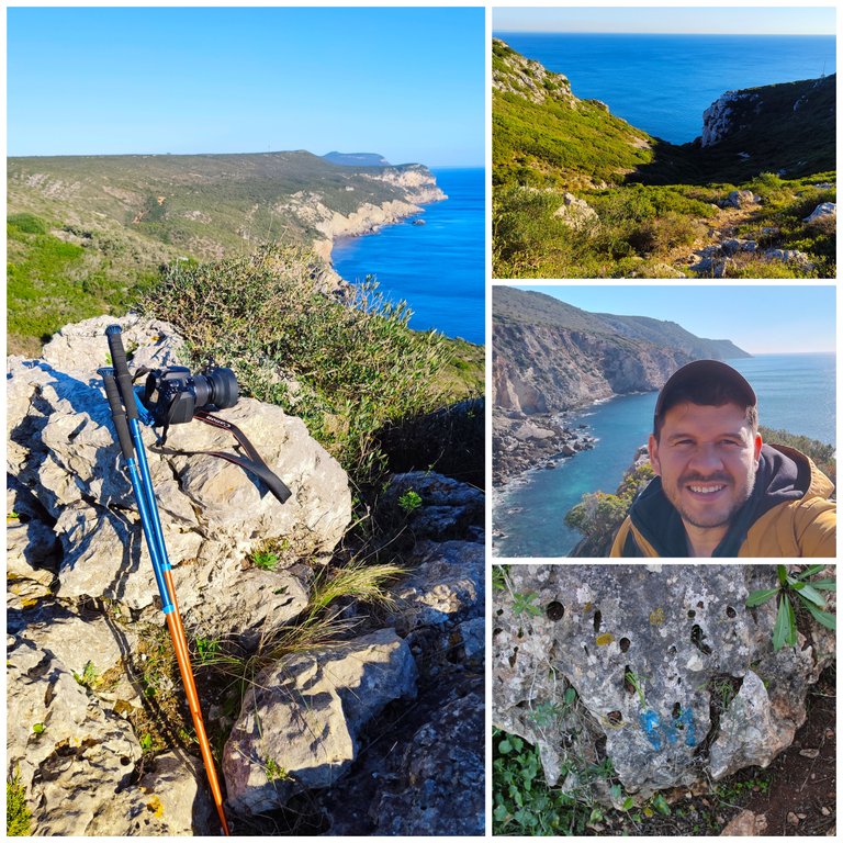
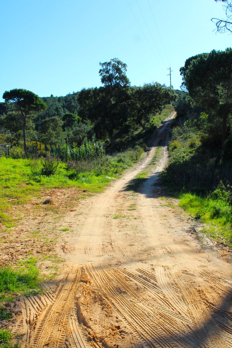
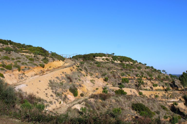
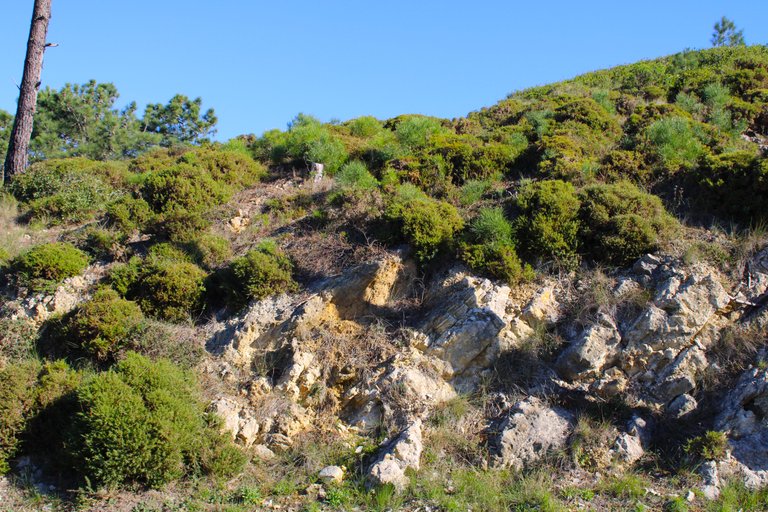
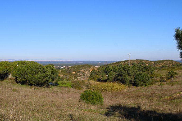
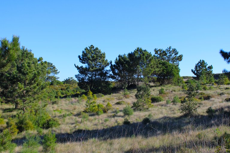
We have already left the street and now our path will always have these characteristics, a sandy terrain with many stones that come loose from the mountain, from now on you have to be careful because the sign in some sectors does not exist so try to guide yourself with the blue marks and if you get lost always look for the paths that go behind the hills where possibly a few kilometers away there are villages, I recommend you bring walking sticks and hiking boots THIS IS MANDATORY.🌄🧭
Ya salimos de la calle y ahora nuestro camino siempre tendran estas caracteristicas, un terreno arenoso y con muchas piedras que se sueltan de la montana, a partir de ahora tienes que ser cuidadoso porque la senal en algunos sectores no existe por eso trata de guiarte con las marcas azules y si te llegases a perder siempre busca los caminos que van atras de las colinas donde posiblemente a pocos kilometros hay aldeas, te aconsejo bastones y botas de excursion ESTO DE FORMA OBLIGATORIA.🛑🚩


First stop🌵🏡/Primera parada🚩🌍
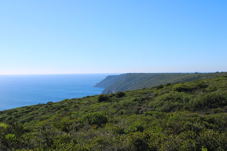
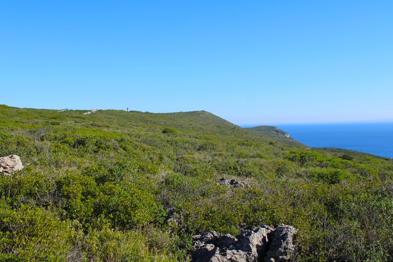
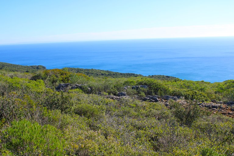
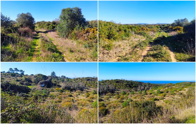
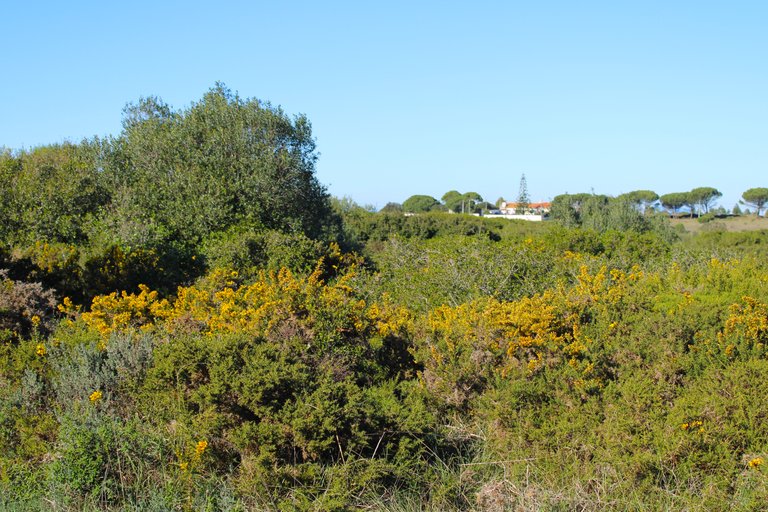
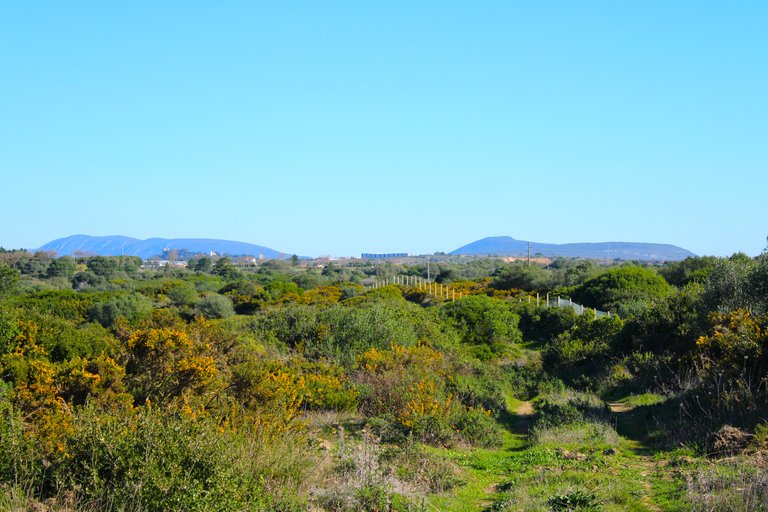
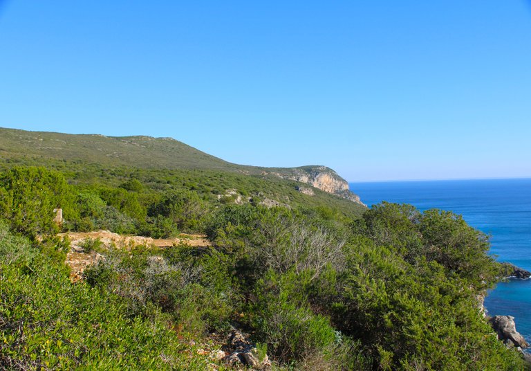
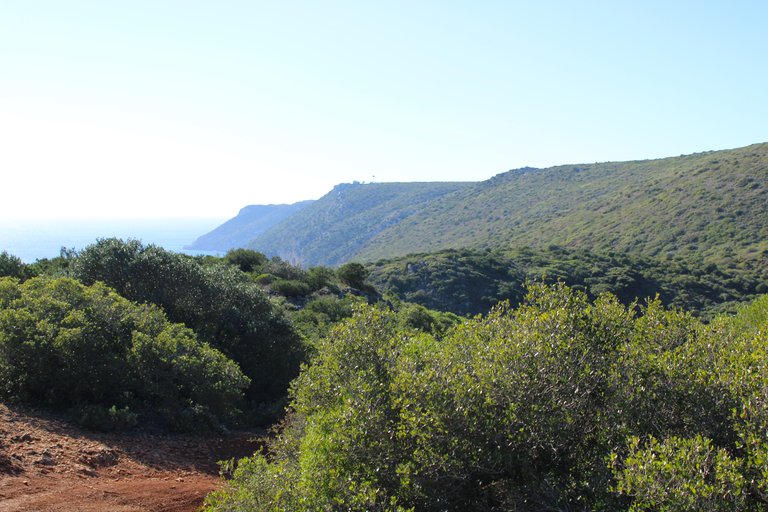
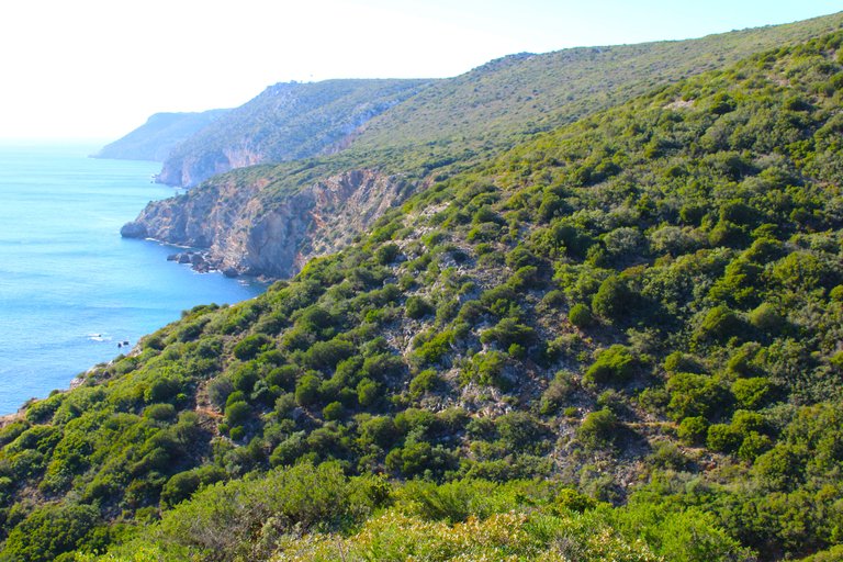
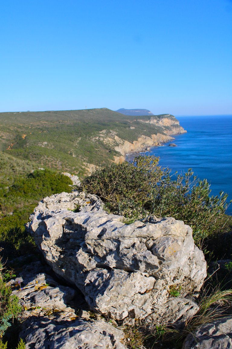
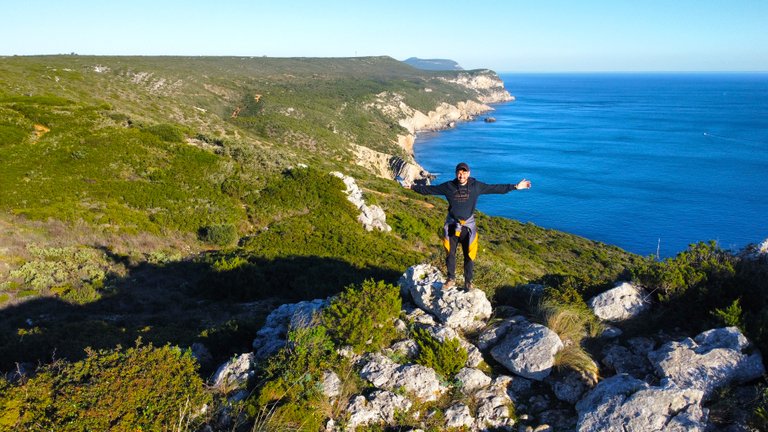
This is the first stop I made and it is relevant because at this point we first see the ocean, then we see in the distance a large cliff where we are going or where we will have to climb, currently we must be about 180 meters high, and we will proceed to go down the mountain very carefully using the sticks, be careful it is very dangerous.🧭🌄
Esta es la primera parada que hice y es relevante porque en este punto primeramente vemos el oceano, despues vemos a lo lejos un gran penazco hacia donde vamos o donde tendremos que subir, actualmente debemos estar a unos 180 metros de altura, y procederemos a bajar con mucho cuidado la montana usando los bastones, ten cuidado esta muy peligroso.🌳🌍

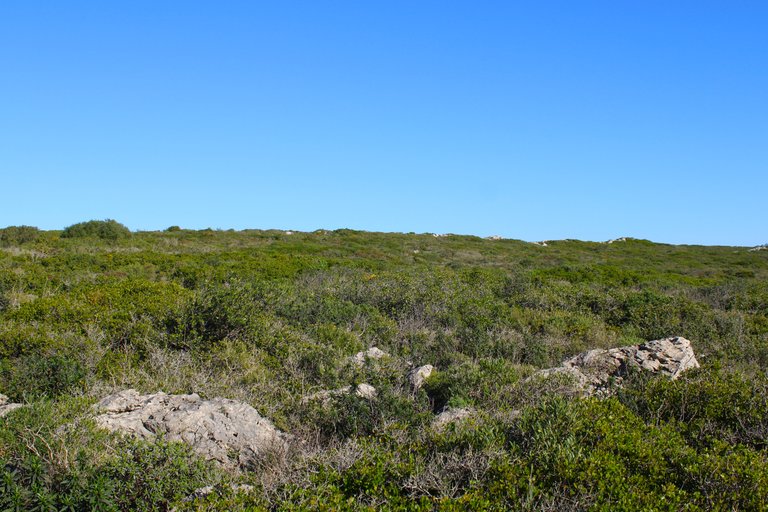
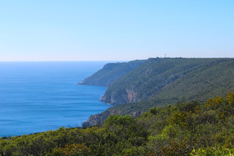
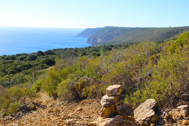
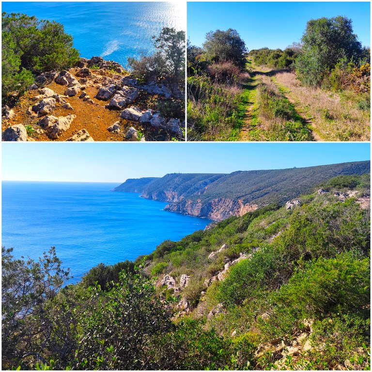
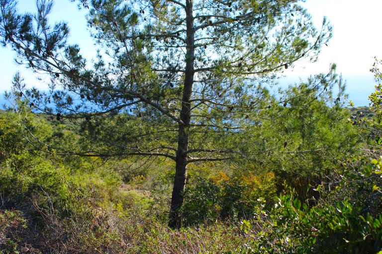
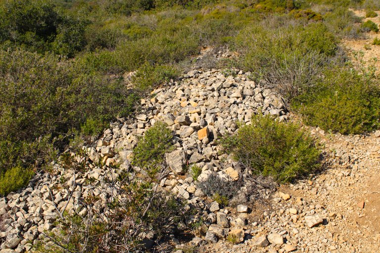
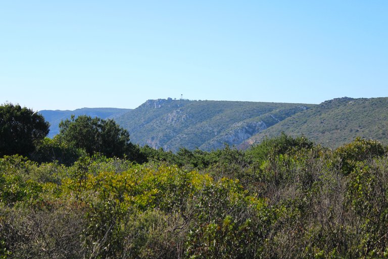
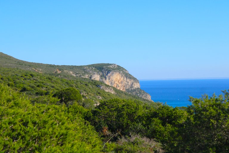
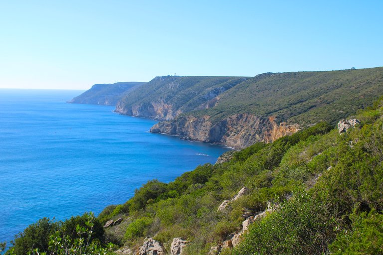
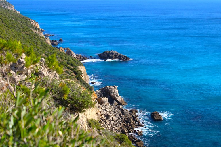
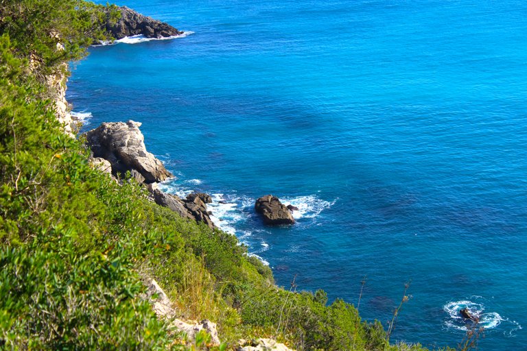
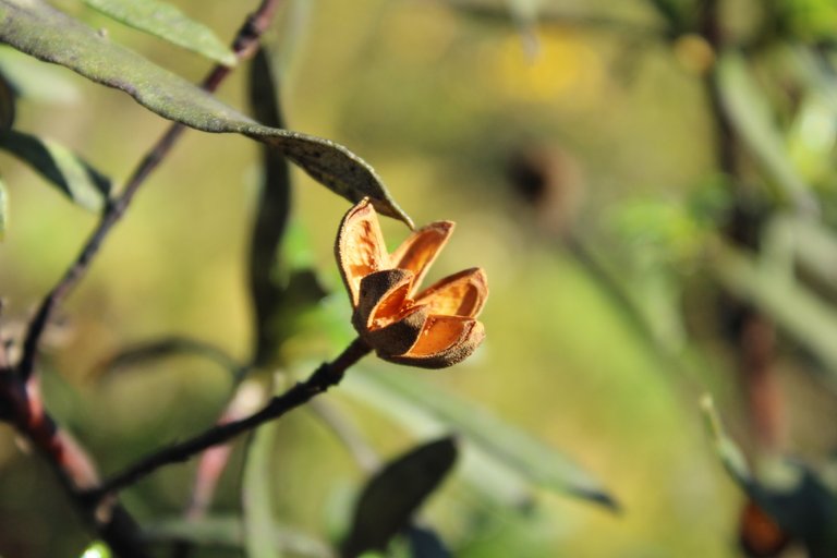
What a view! I was expecting something nice, but this trail with these photos was already worth it for me. I'm only halfway through and supposedly the prettiest but most dangerous parts are still missing. I read that last year a French tourist died after falling down the slope, that's how dangerous this hike is! At the end of this trail we are reaching the south, that is, the southernmost point of this place is called "Cabo Espichel" and is literally the point where Europe ends.🌄🧭🚩
Vaya pedazo de vista! me esperaba algo bonito pero este sendero con estas fotos ya valio la pena para mi, y apenas voy por la mitad supuestamente me faltan las partes mas bonitas pero mas peligrosas, lei que el ano pasado murio un turista frances que cayo por la ladera asi de peligroso es esta caminata! al final de este camino estamos llegando al sur, osea el extremo mas al sur de esto se llama "cabo espichel" y literal el punto donde termina europa.🌍


A hard terrain🌵🏡/Un terreno duro🚩🌍

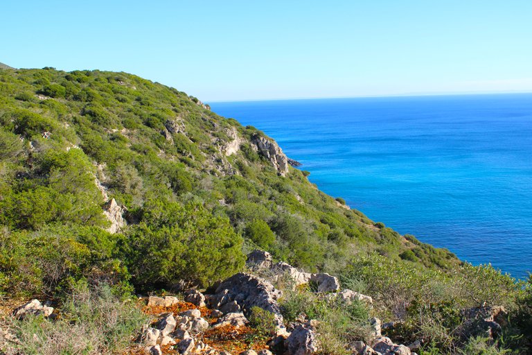
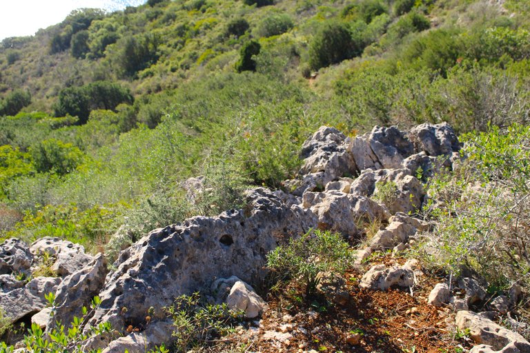
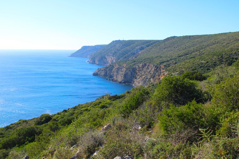
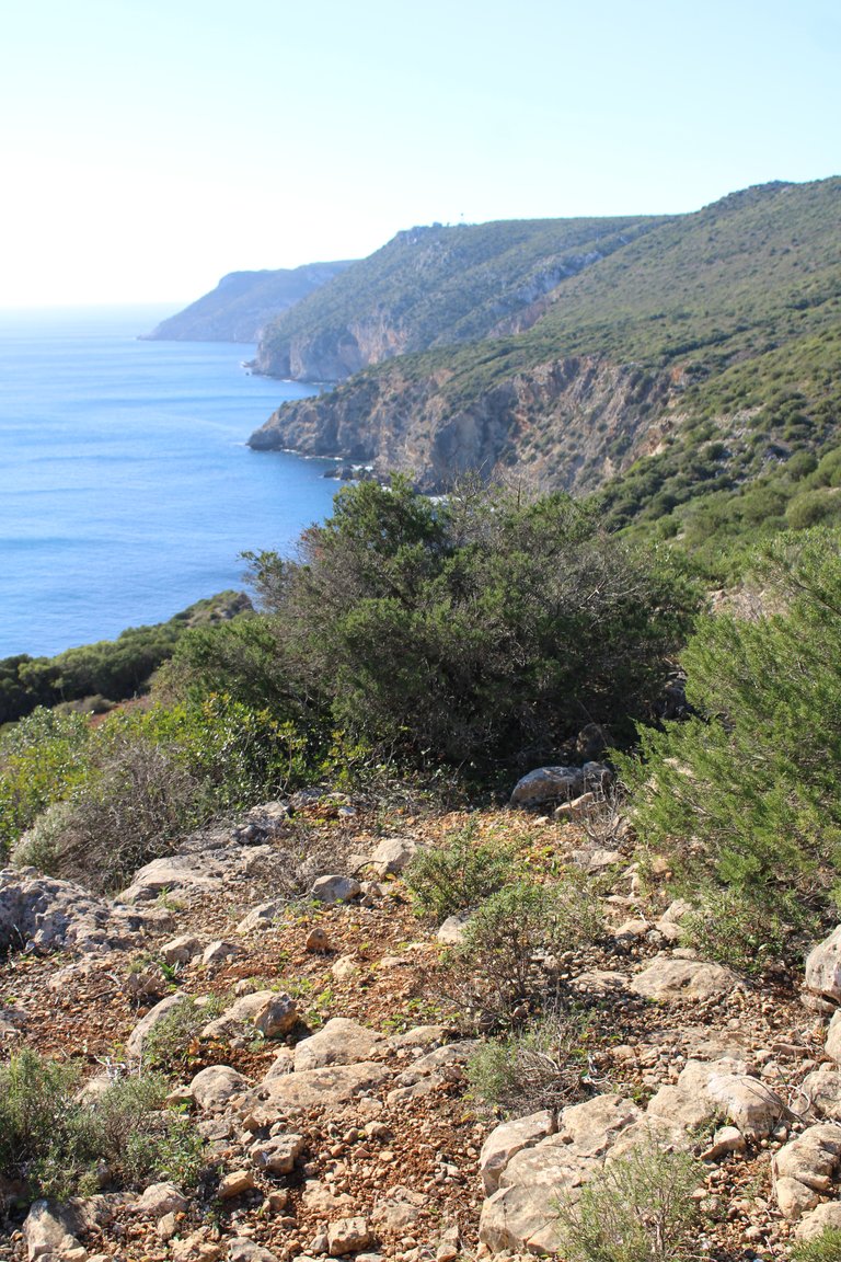
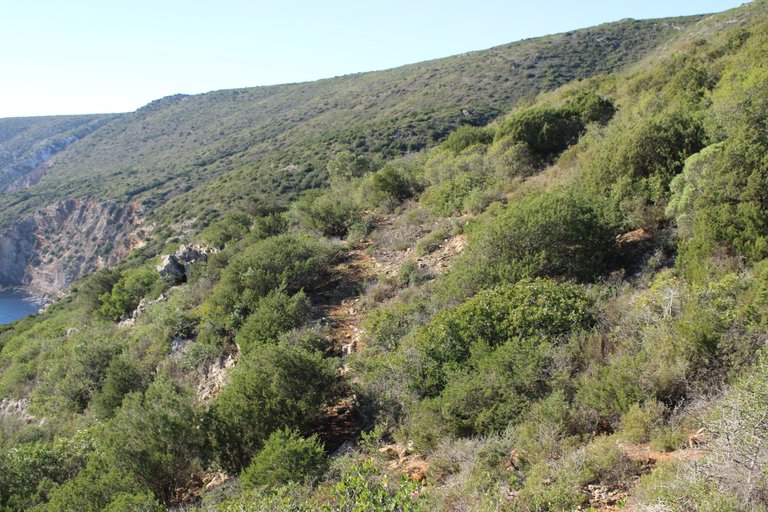
completing 6km🌳🚙
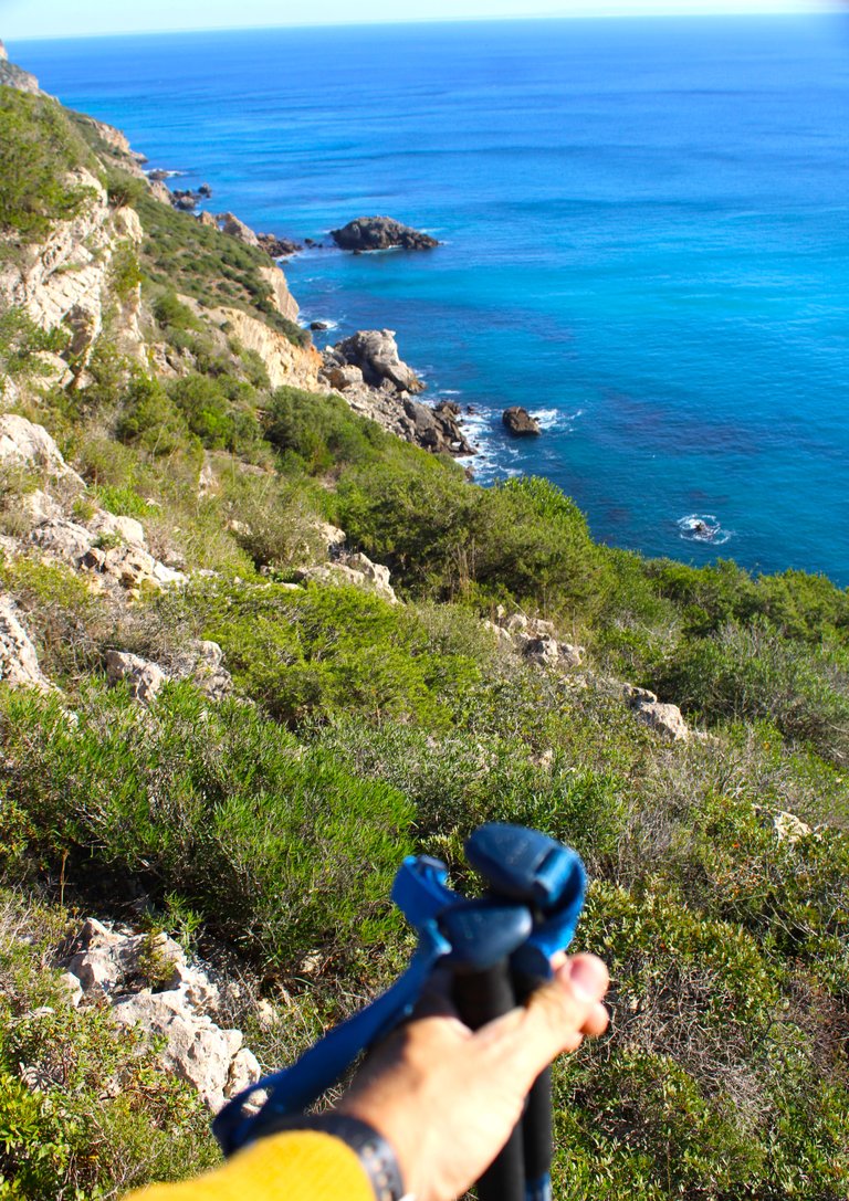
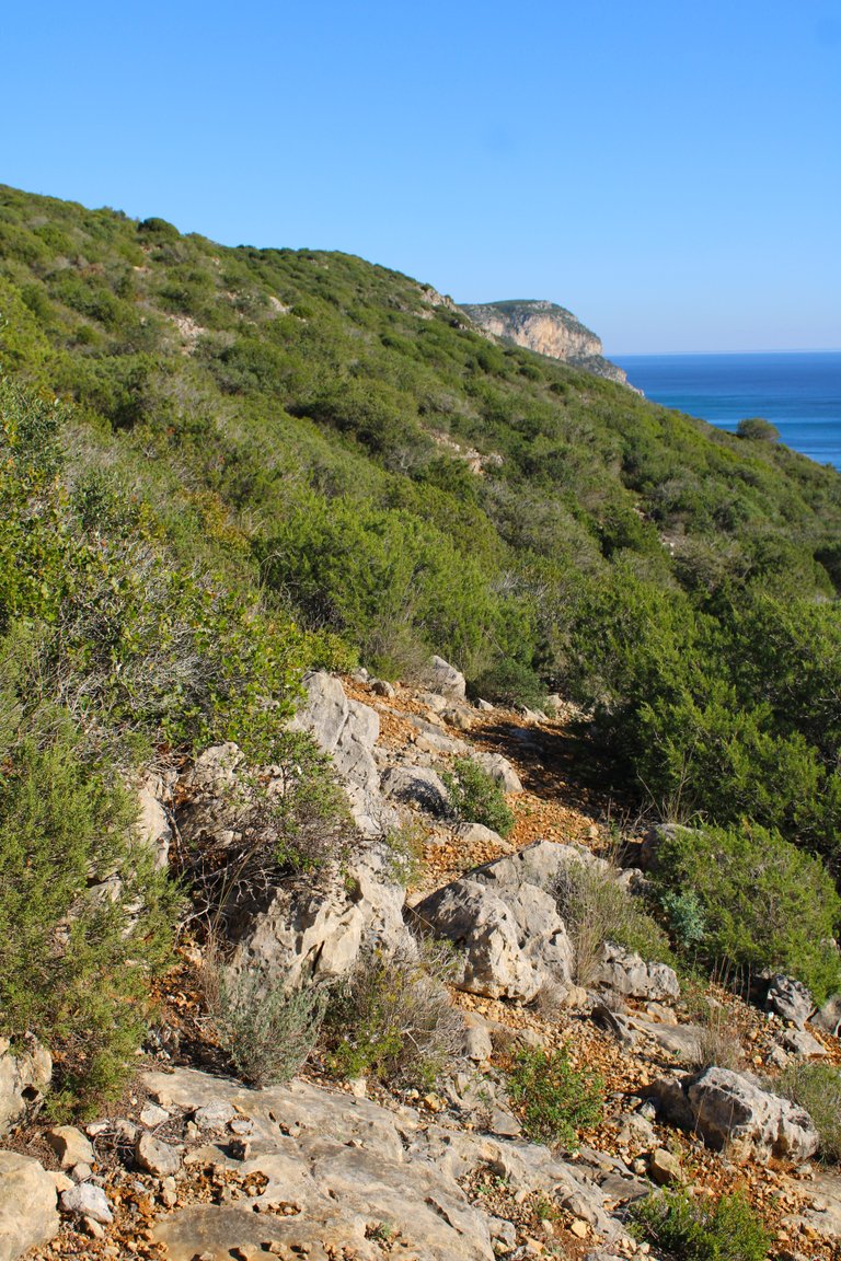
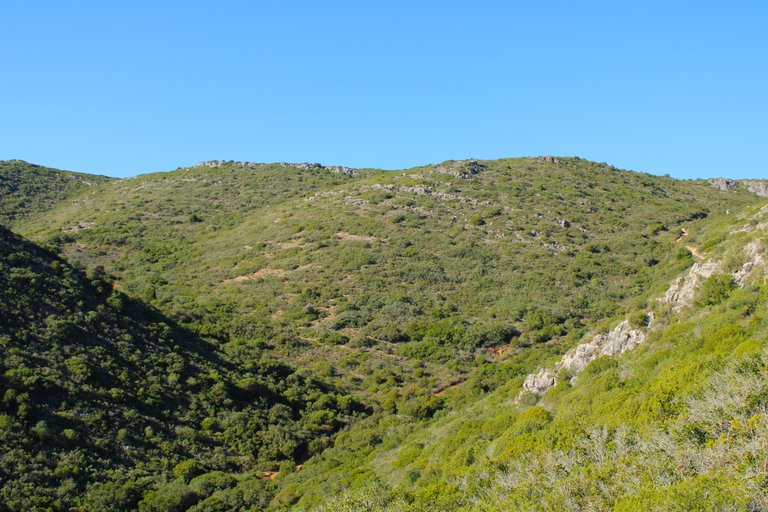
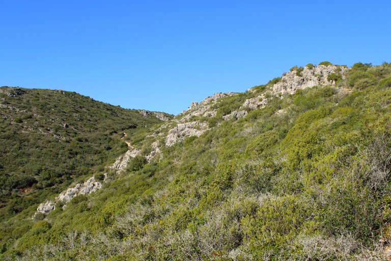
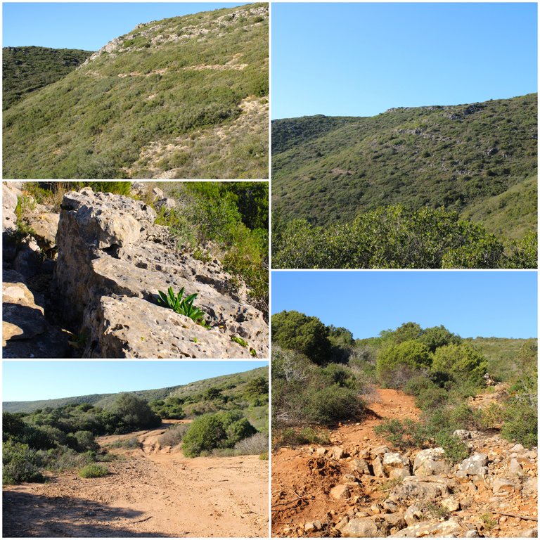
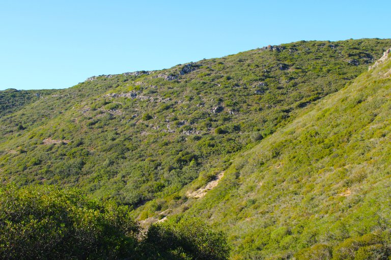
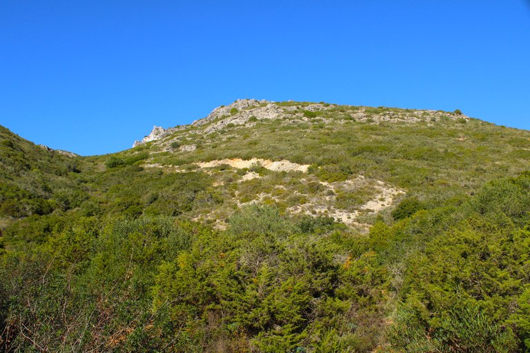
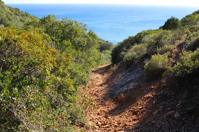
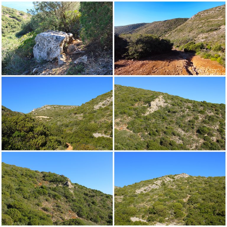
The path is increasingly complicated, narrow and slippery, as you can see there is nothing marked to continue. This is where I got lost twice because the marks on the stones disappeared, it is literally always walking south... However, the penezco is getting closer to my path and everything is more dangerous, I must be careful.🧭
El camino es cada vez mas complicado, angosto y resbaladizo como puedes ver no hay nada marcado por donde seguir aqui es donde me perdi dos veces ya que las marcas en las piedras desaparecieron, literalmente es siempre caminar al sur... Sin embargo el penezco esta cada vez mas proximo de mi camino y todo es mas peligroso debo andar con cuidado.🌄


Second stop🌵🏡/Segunda parada🚩🌍
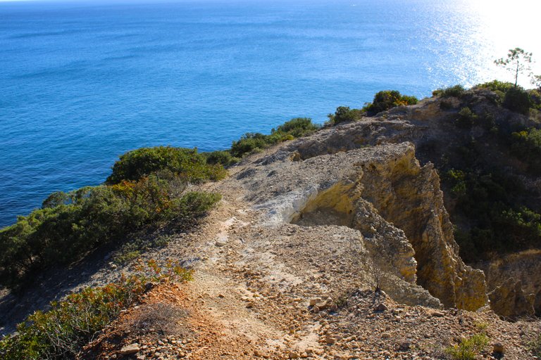
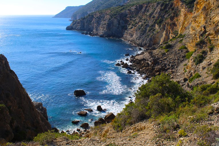
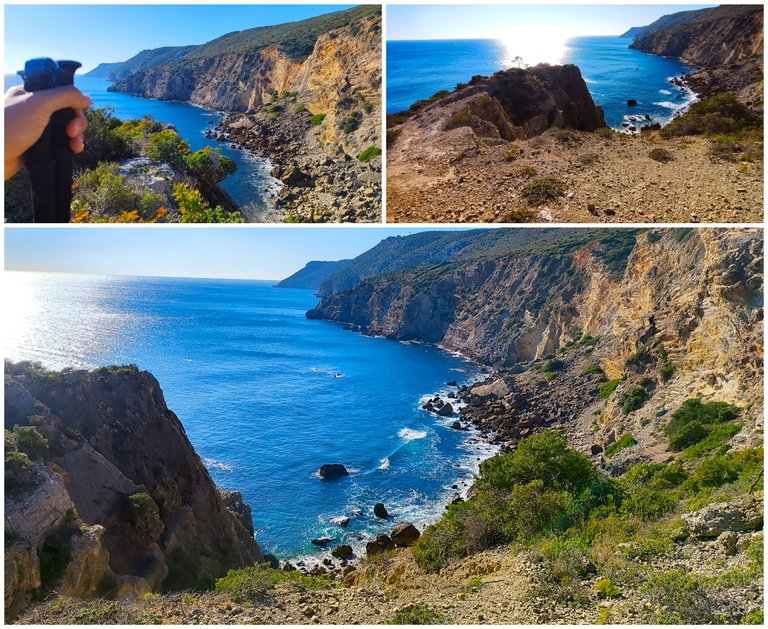
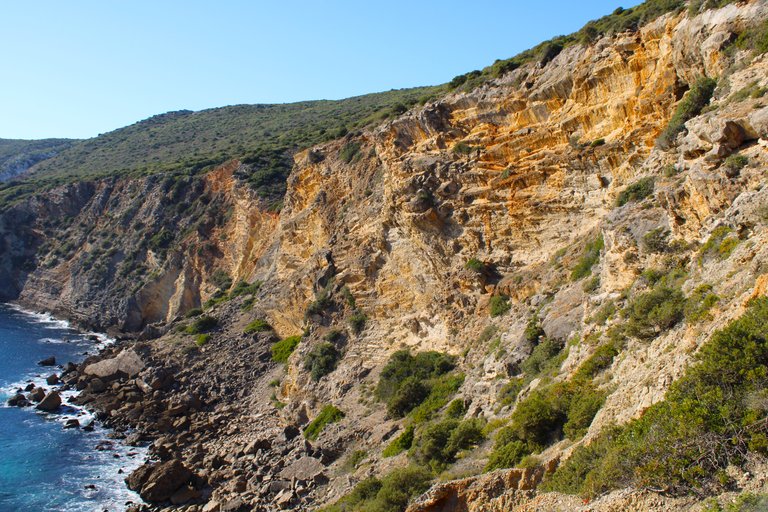
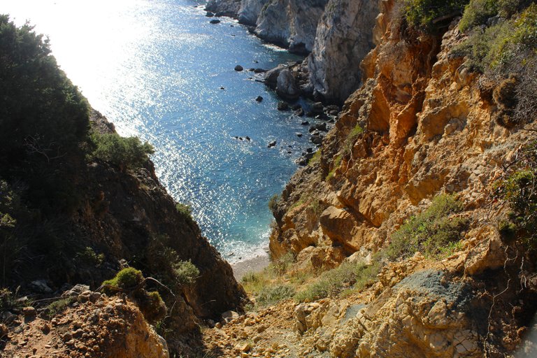
Another place to relax and enjoy the immensity that Sesimbra has to offer, I saw many ropes that go down which gives you access to the beach down there, however... It is not a sandy beach it is only rocks and despite not being deep the tide looks very rough, I do not think it is suitable for swimming, but you can hire a climbing experience in Sesimbra because I have already seen people here doing that activity.🚩🧭
Otra de los lugares para relajarnos y disfrutar de las inmesidades que tiene Sesimbra para ofrecernos, vi muchas cuerdas que bajan lo que te da acceso a la playa alla abajo, sin embargo... No es una playa con arena es solo rocas y apesar de no ser profunda la marea se ve muy brava no creo que sea apta para banarse, pero puedes contratar una experiencia de escalada en Sesimbra porque ya vi gente por aqui haciendo esa actividad.🌄🌍


Hell's Lookout🌵🏡/Mirador del infierno🚩🌍
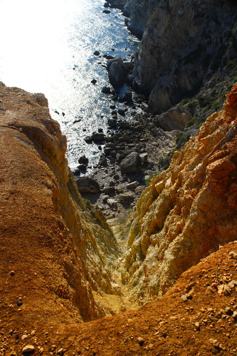
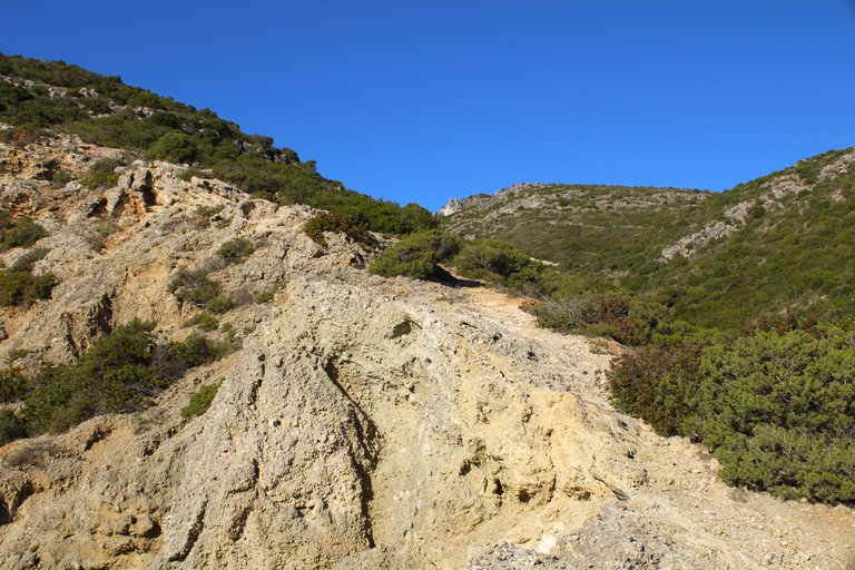
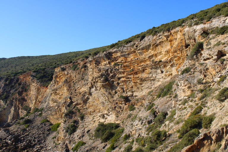
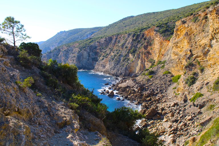
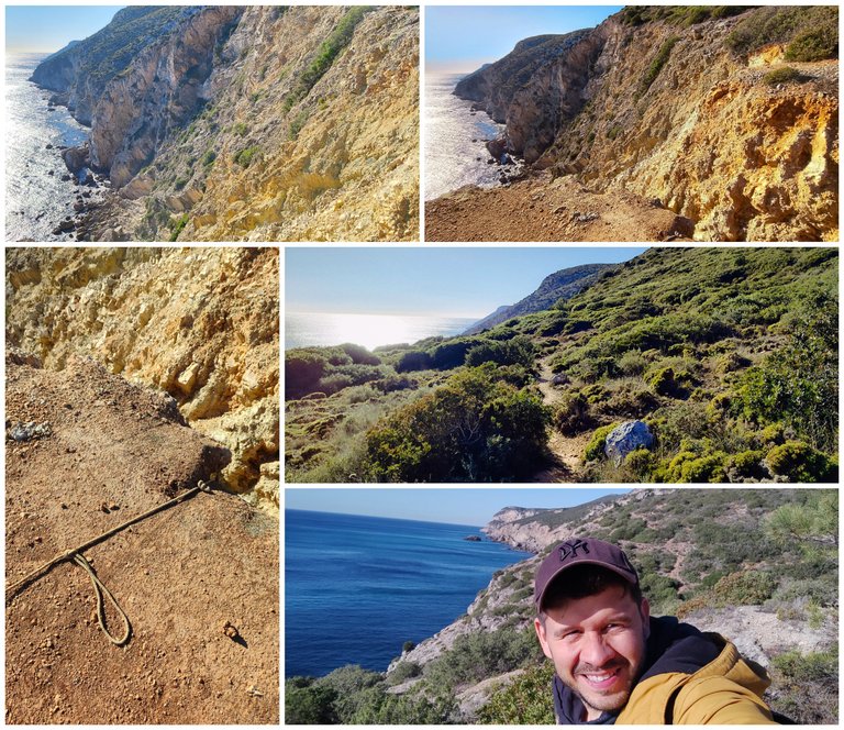
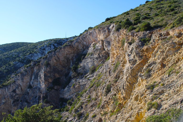
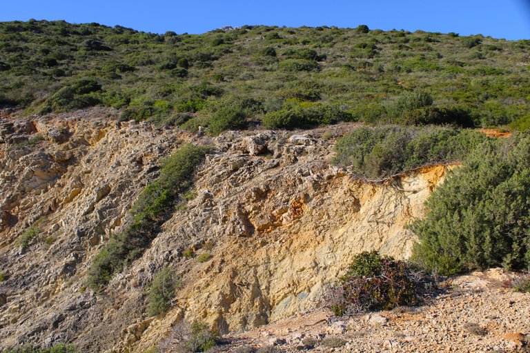
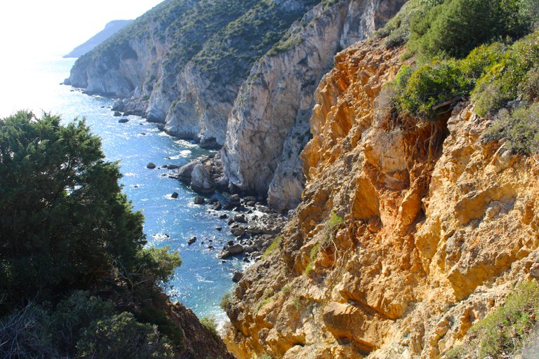
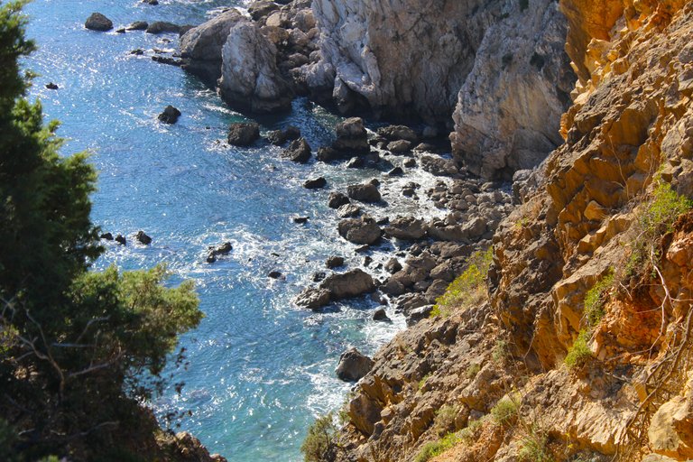
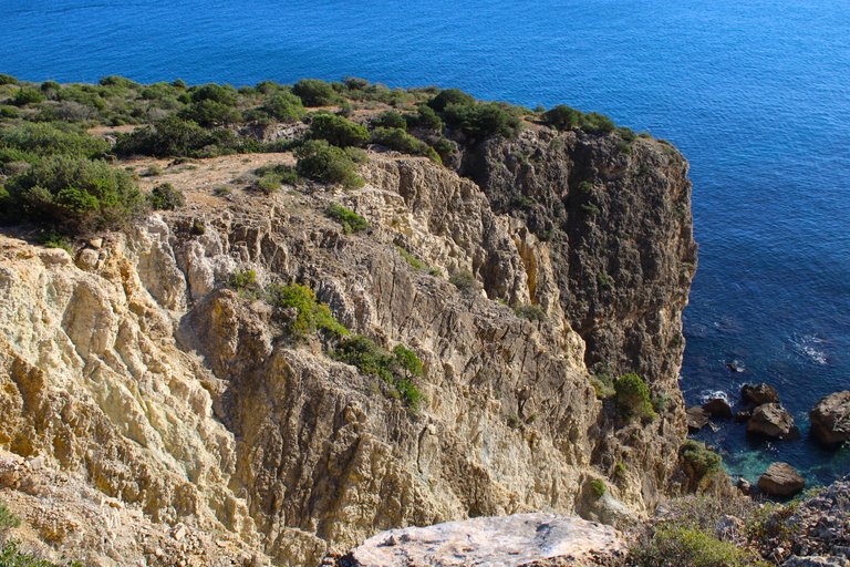
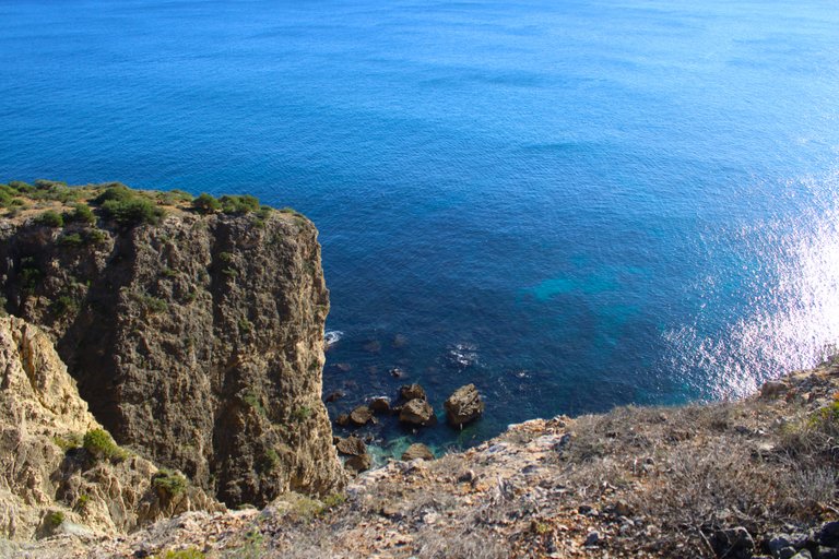
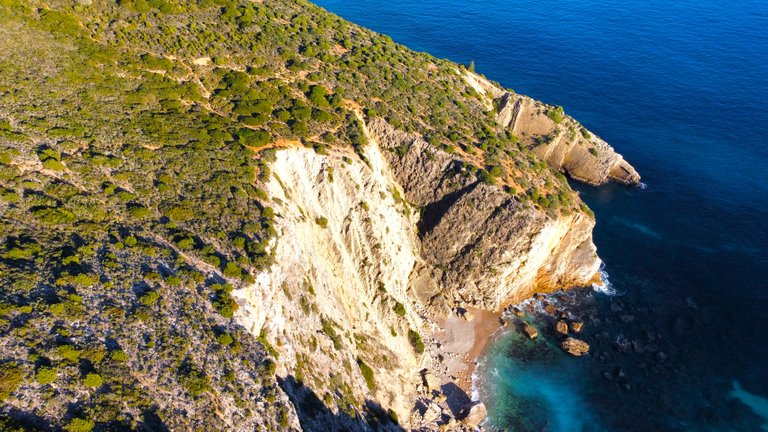
This is the most extreme part of the trail and the one that has made me super nervous! The path is literally next to this cliff so if we slip there is nothing to hold on to and we will fall off the cliff! I knew it was going to be hard but not that hard! Another beautiful view but I didn't enjoy it very much because I needed to concentrate on where I was stepping to get out of danger quickly.🏔️🌵
Esta es la parte mas extrema del sendero y la que me ha dejado super nervioso! literal el camino es al lado de este penazco por tanto si resbalamos no hay nada para sujetarnos y caeremos al precipicio! sabia que era algo duro pero no tanto! otra hermosa vista pero no disfrute mucho porque necesitaba concentrarme donde pisaba para salir rapidamente del peligro.🚙🚩

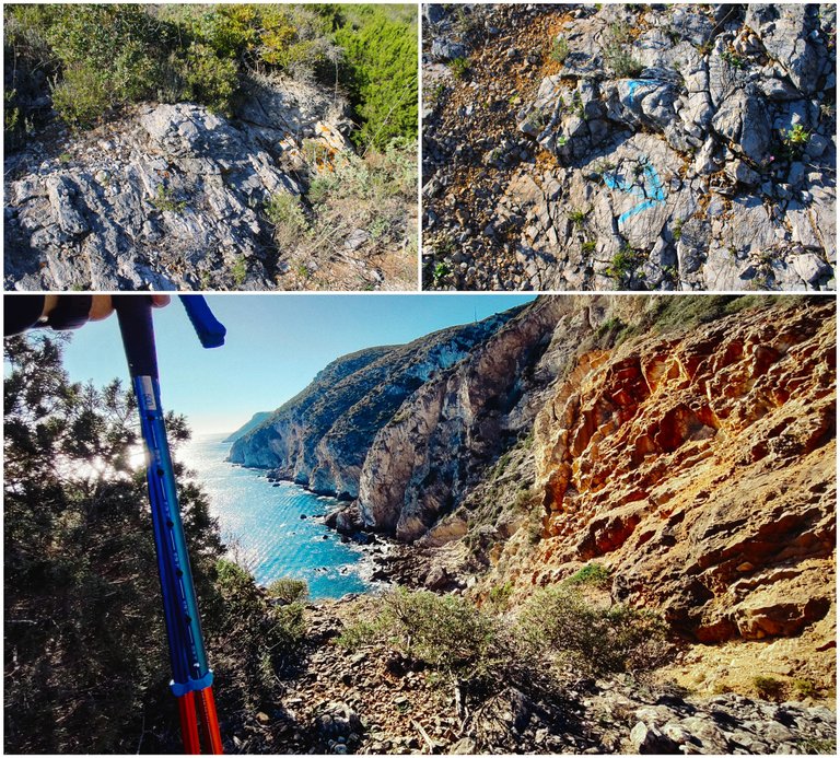

Cave was bronze🌵🏡/Cueva era de bronce🚩🌍
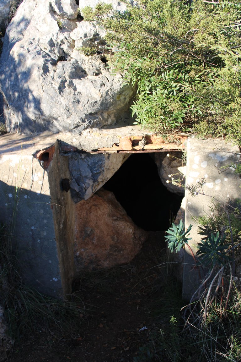

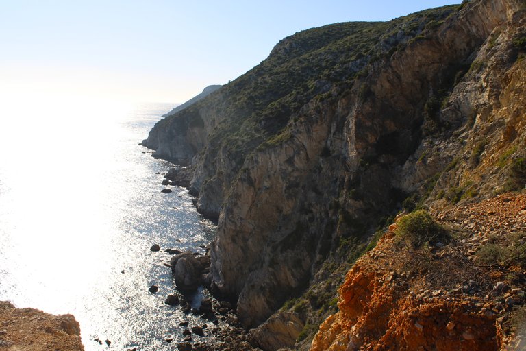
When we get to the cave we know that we are very close to finishing the trail, I would say less than a kilometer, we had to climb the mountain again to 200 meters high but I stopped to show you this cave that as you can see the entrance has an "artificial human" touch and this is because this cave is a conclusive proof that in this area more than 2000 years before Christ people lived in places like these, many of the objects found here are in universities and museums in Portugal.🏔️🌍
Cuando llegamos a la cueva sabemos que estamos muy cerca de acabar el sendero, diria que menos de un kilometro, tuvimos que subir la montana de nuevo a los 200 metros de altura pero me detuve para mostrarte esta cueva que como puedes ver la entrada tiene un toque "humano artificial" y esto porque esta cueva es una prueba rotunda que en esta zona hace mas de 2000 anos antes de cristo habitaban personas en lugares como estos, muchos de los objetos encontrados aqui estan en universidades y museos de portugal.🌳🧭

Last stop.🌵🏡/Ultima parada.🚩🌍
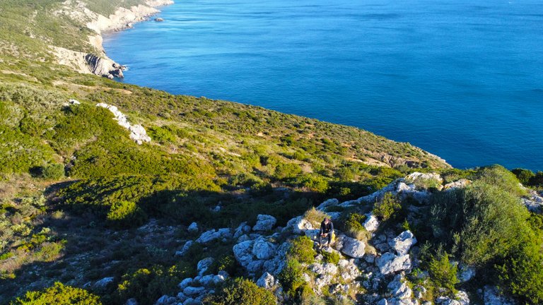
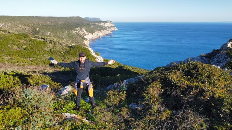
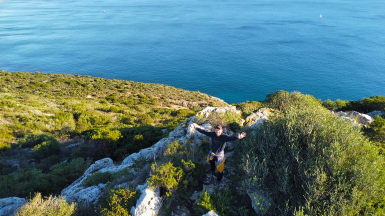
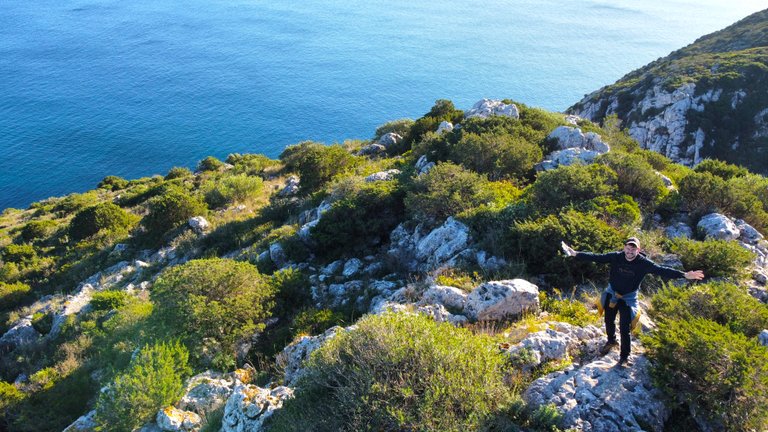
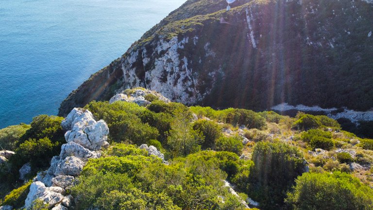
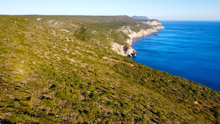
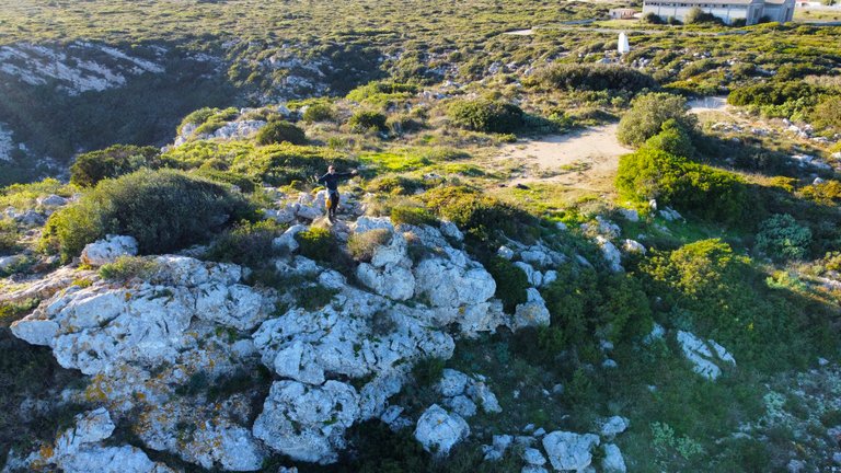
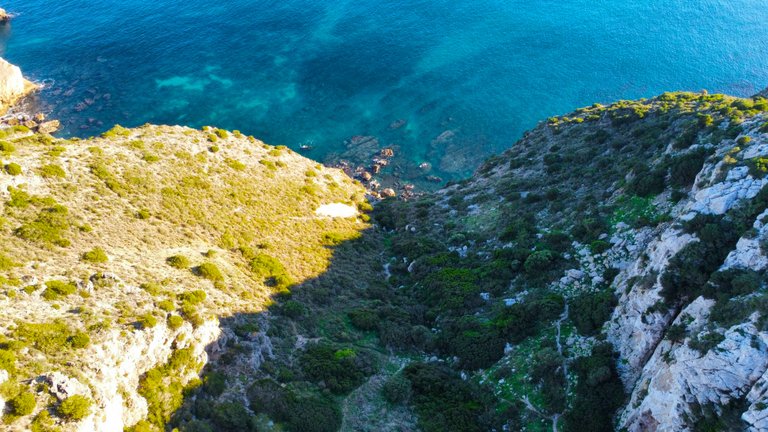
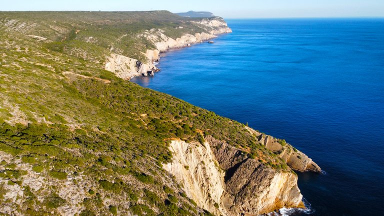


The blue trail ends here. Didn't you find the experience super fun? Would you be able to do the trail? Or are you one of those who have problems with heights? It was a spectacular day for me and in total I walked about 4 hours covering more than 14km.🌄🚩
Aqui acaba el sendero azul, no te parecio super divertida la experiencia? serias capaz de hacer el sendero? o eres de aquellos que tienen problemas con las alturas?, fue un dia espectacular para mi y en total camine unas 4horas recorriendo mas de 14km.🏔️🚙


DNA is an organization to foster and DENSIFY NATURE-APPRECIATION which aims to establish REPORTS OF BIODIVERSITY DATA that is contributed by all of us Hiveans and subsequently cataloged.
Therefore DNA searches for HIGH-QUALITY posts that aim to DESCRIBE and determine the BIODIVERSITY AROUND YOU with added EXPLANATIONS and INFORMATION. For these informative posts they offer a CURATION SERVICE using the @dna.org account. It is also a CURATION TRAIL. Just add the #dna TAG if you think that any of your posts is what they are looking for.
THANKS FOR READING ME (PHOTOS AND VIDEOS OF MY PROPERTY) / GRACIAS POR LEERME FOTOS Y VIDEOS DE MI PROPIEDAD🙂🧠🦾👍








You can check out this post and your own profile on the map. Be part of the Worldmappin Community and join our Discord Channel to get in touch with other travelers, ask questions or just be updated on our latest features.
🫶🫶🫶
Beautiful photos!
Hiya, @ybanezkim26 here, just swinging by to let you know that this post made it into our Honorable Mentions in Travel Digest #2418.
Your post has been manually curated by the @worldmappin team. If you like what we're doing, please drop by to check out all the rest of today's great posts and consider supporting other authors like yourself and us so we can keep the project going!
Become part of our travel community:
Congratulations @biologistbrito! You have completed the following achievement on the Hive blockchain And have been rewarded with New badge(s)
Your next payout target is 10000 HP.
The unit is Hive Power equivalent because post and comment rewards can be split into HP and HBD
You can view your badges on your board and compare yourself to others in the Ranking
If you no longer want to receive notifications, reply to this comment with the word
STOPCheck out our last posts: