There's no better way to clear your mind than to go out for a stroll in nature. One of our favourite parks is in Brag Creek, located about 40min West of Calgary, Alberta in the foothills of the Canadian Rockies. We go there all the time, especially in winter to Cross Country Ski.
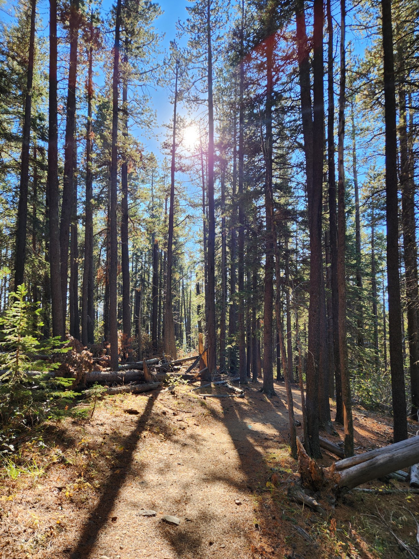
Located in the West Bragg Creek Provincial park, you need a parking pass to access the trailhead, its $15 a day or $90 per year, which will get you access to 1000s of kilometers of premium hiking just East of Banff. This was a moderately difficult area to hike in, you don't need your hands, there is less than 500 m of vertical but the distance was about 10 km.
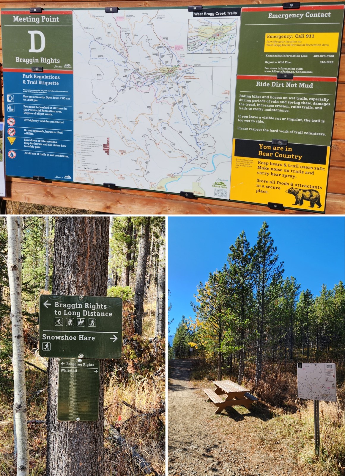
The trail is well marked and there are signs at every major junction. Regardless make sure you have at least a phone with GPS. I use the Gaia GPS app and just ensure I have the location pre-downloaded. It's never a good idea to go hiking in these parks without a little bit of thought or local experience beforehand.
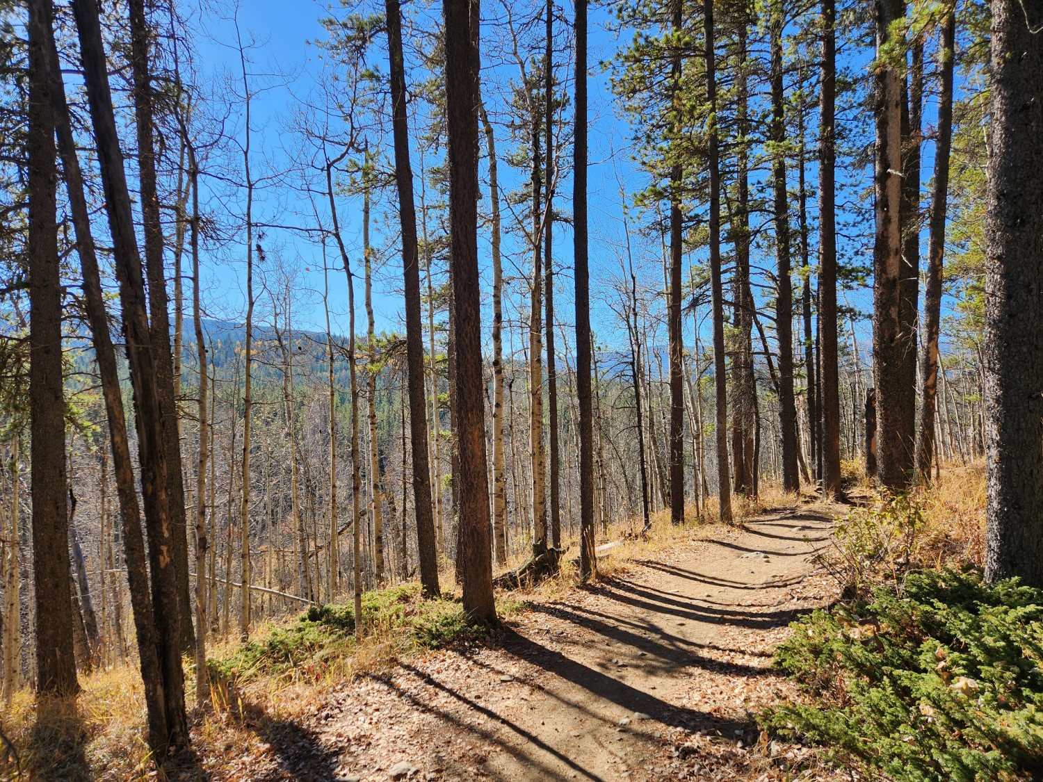
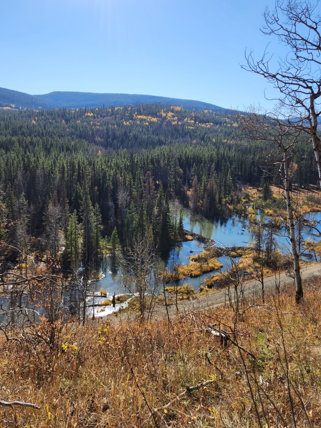
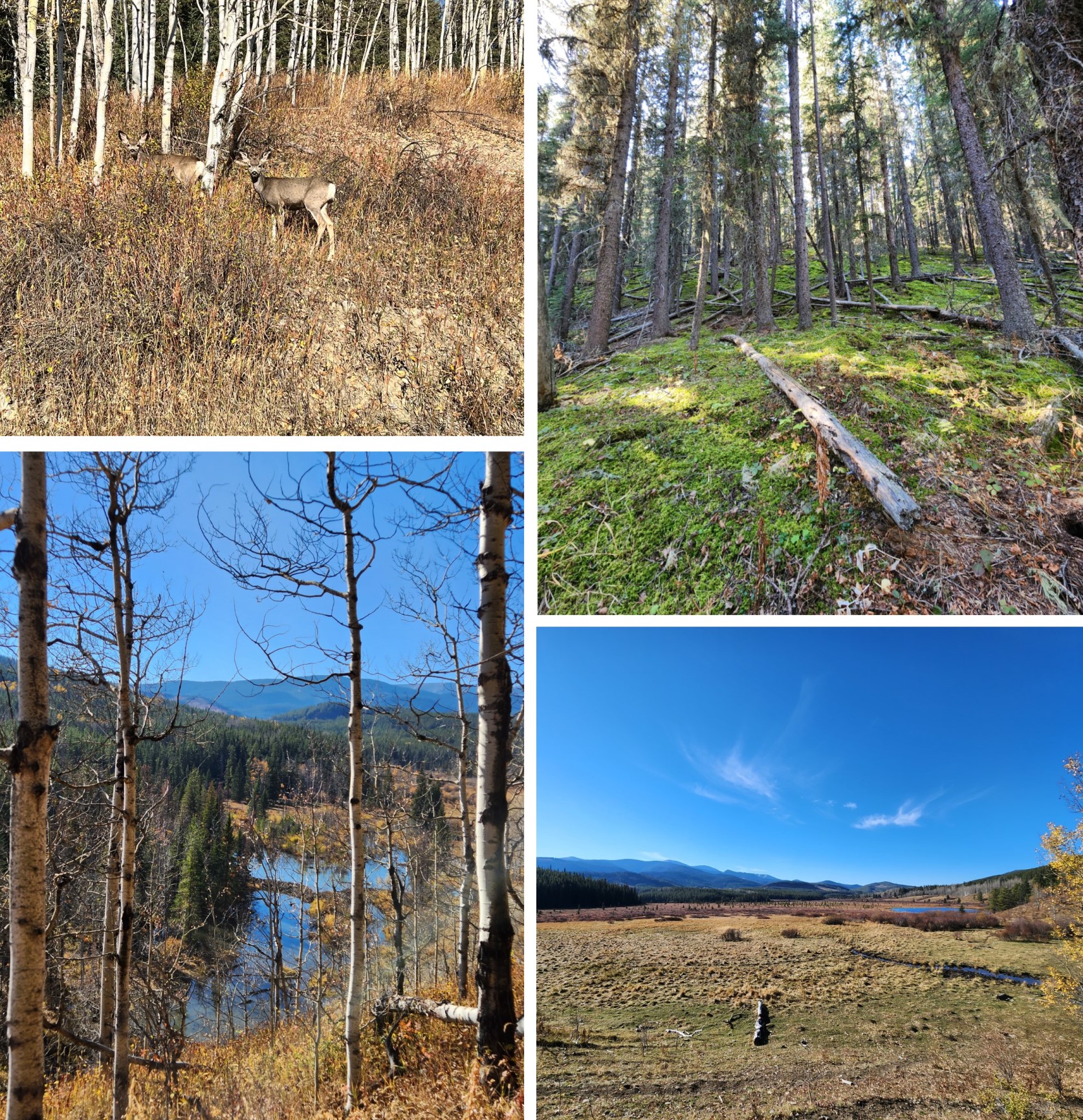
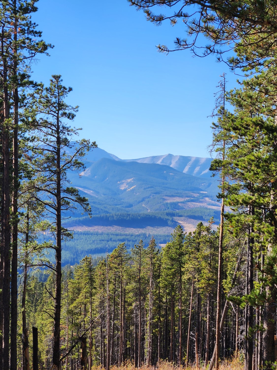
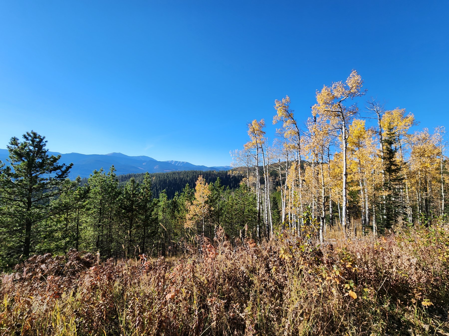
The hike begins with an ascent up into the hills. You could catch a glimpse of the mountains on a clear day depending on which way you look. There is a stream through the valley that would meet up with the elbow river then flow through Calgary. You can see a beaver dam there.
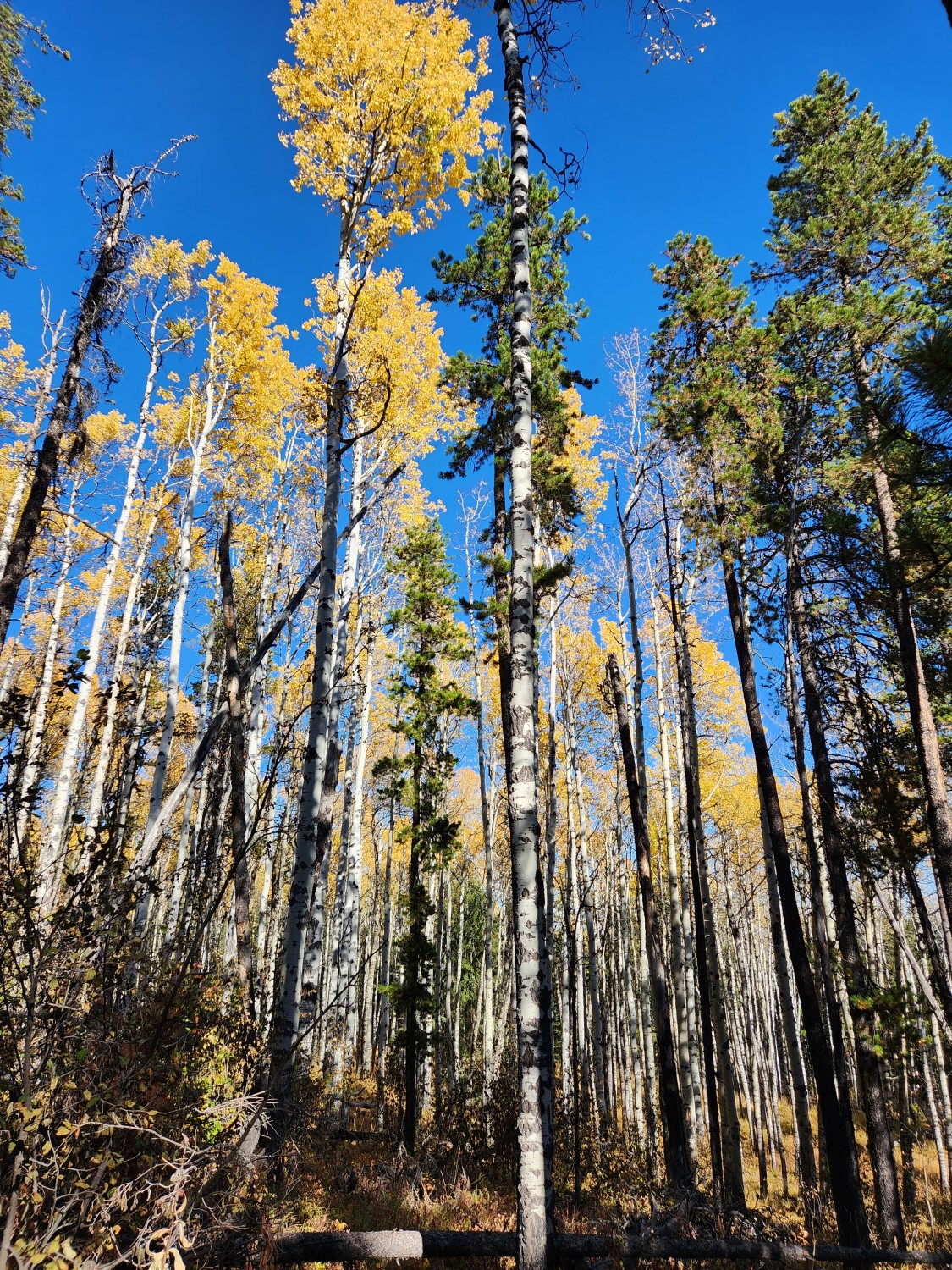
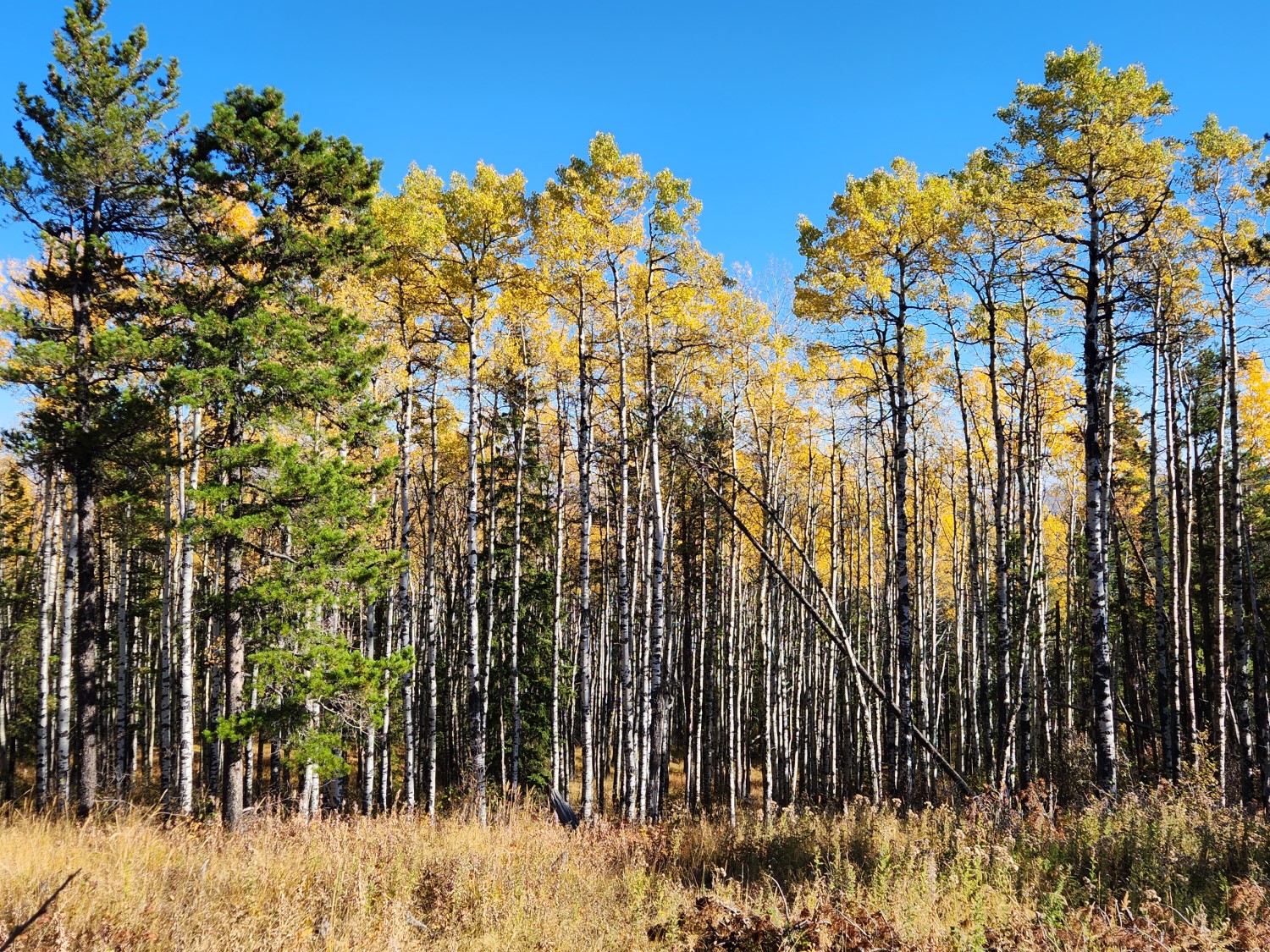
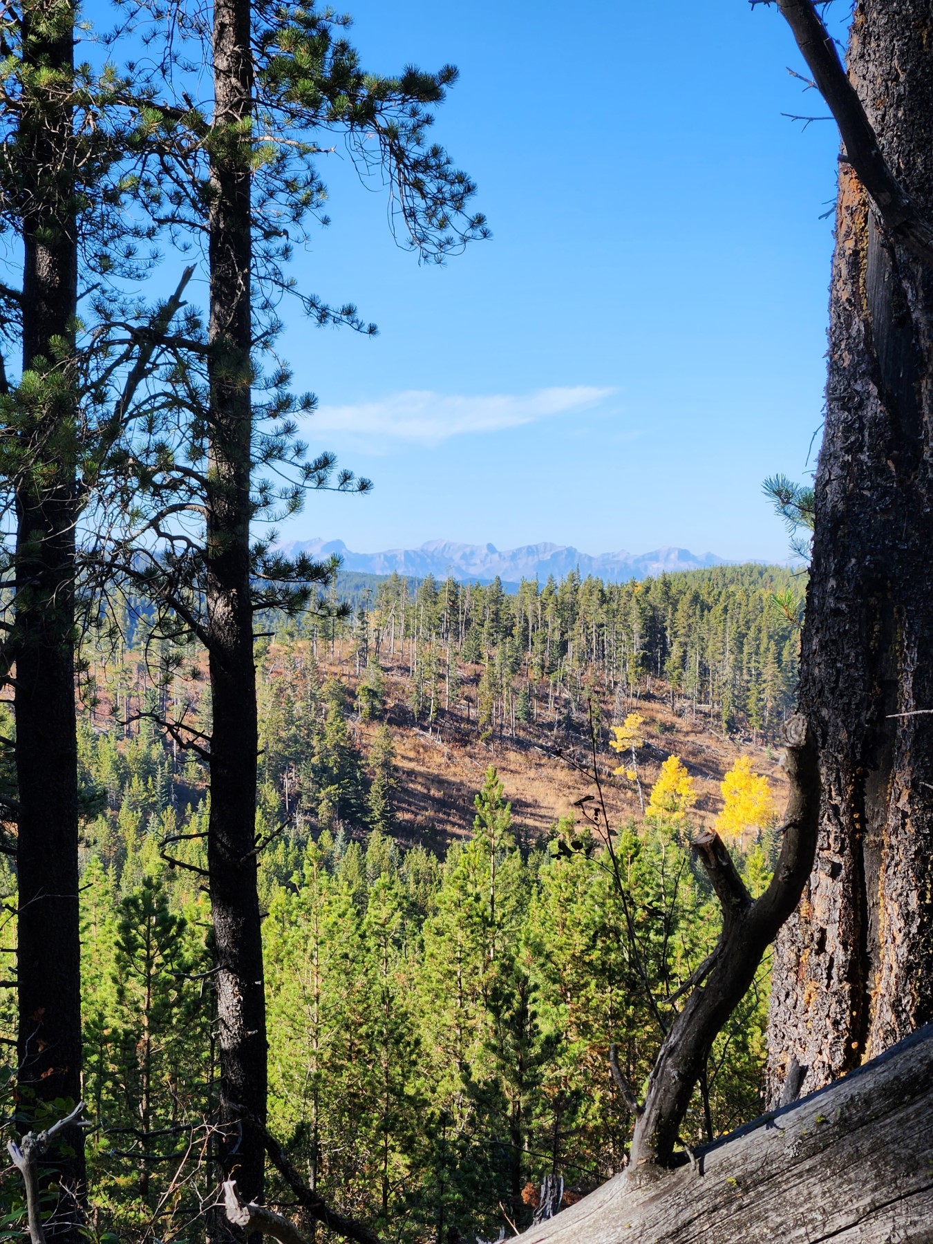
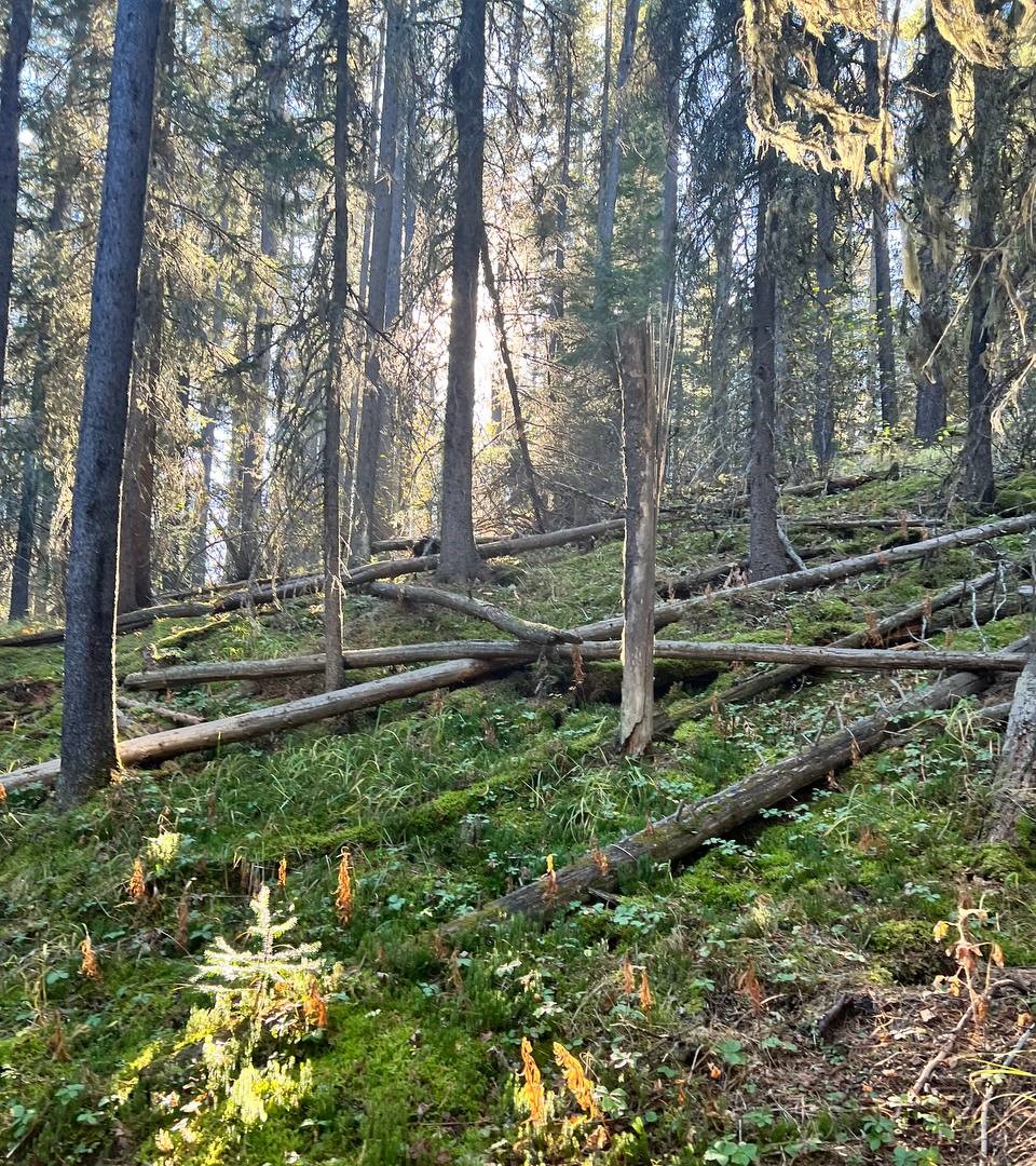
The tree growth here is somewhat new and mostly a mix of aspen trees, pines and cedars. You can see that forestry is practiced in the region and there are also frequent fires. Alberta doesn't get too much rain so the trees aren't as large as something you would find on the other side of the Rockies.
If it wasn't raining today, we would be out hiking. Looking at these photos siting inside is making me a little depressed. We generally go on hikes every weekend, it's going to take years to do every one. It's therapeutic to explore Canada's great parks.
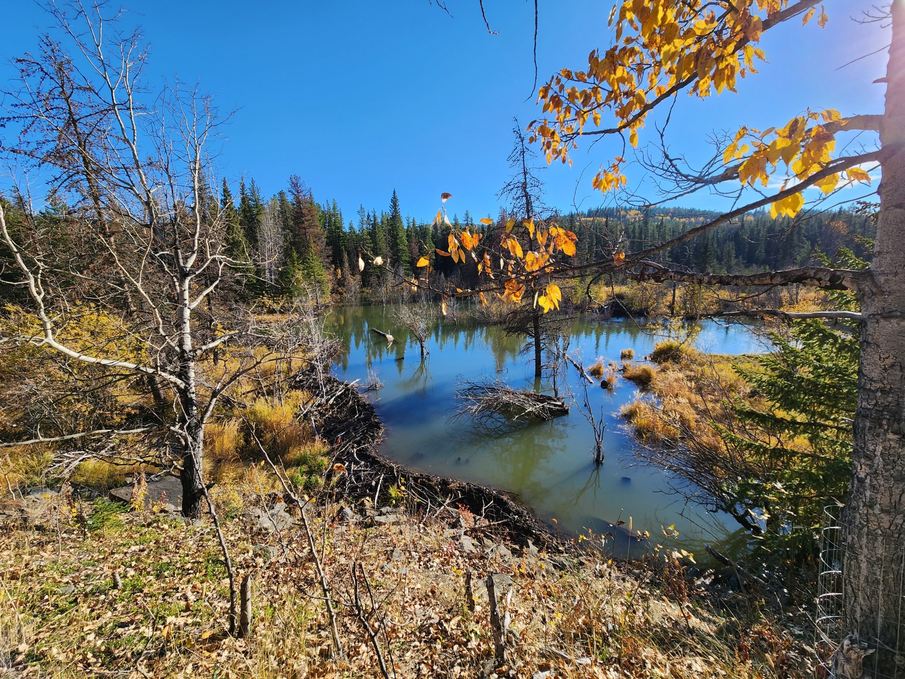
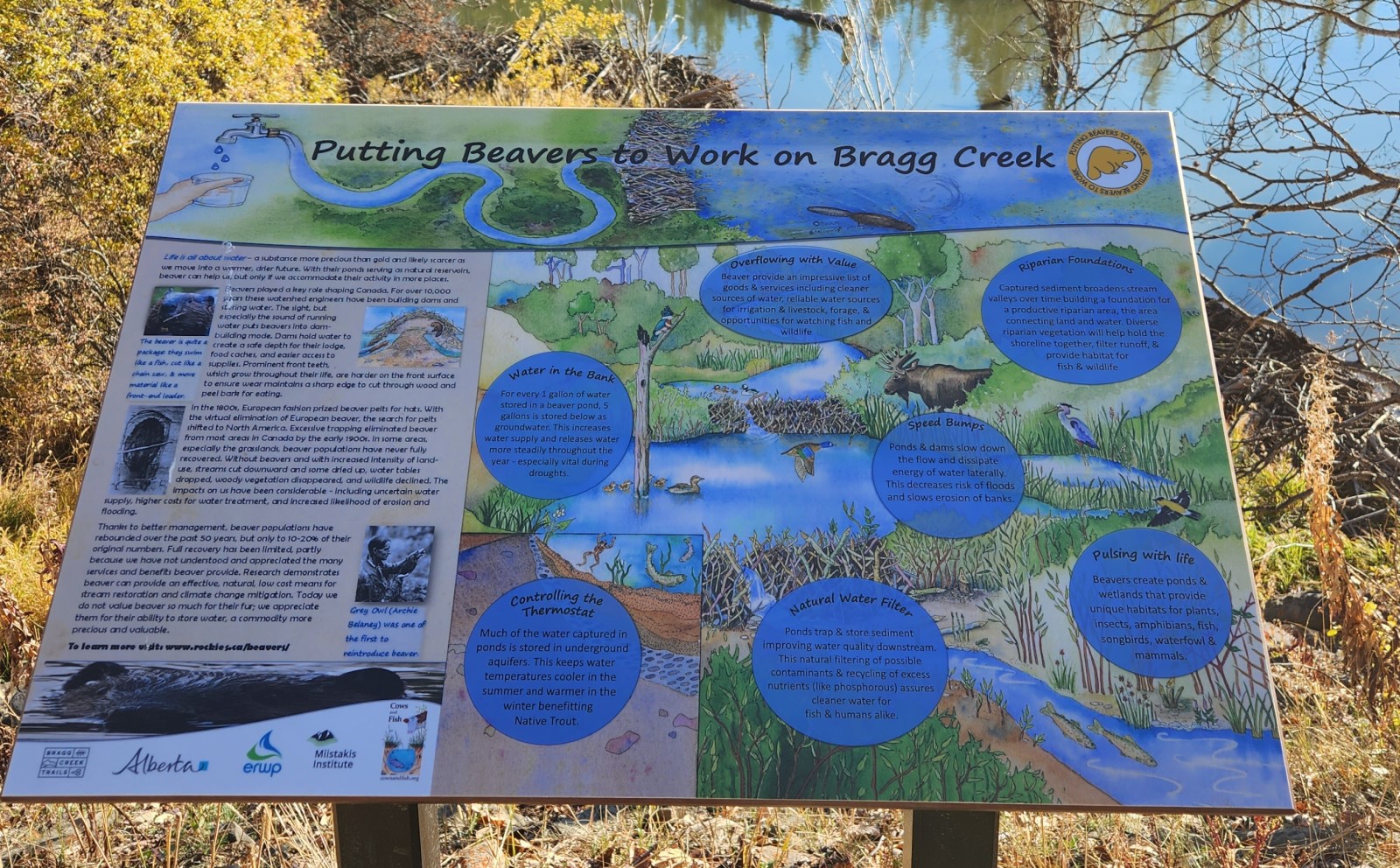
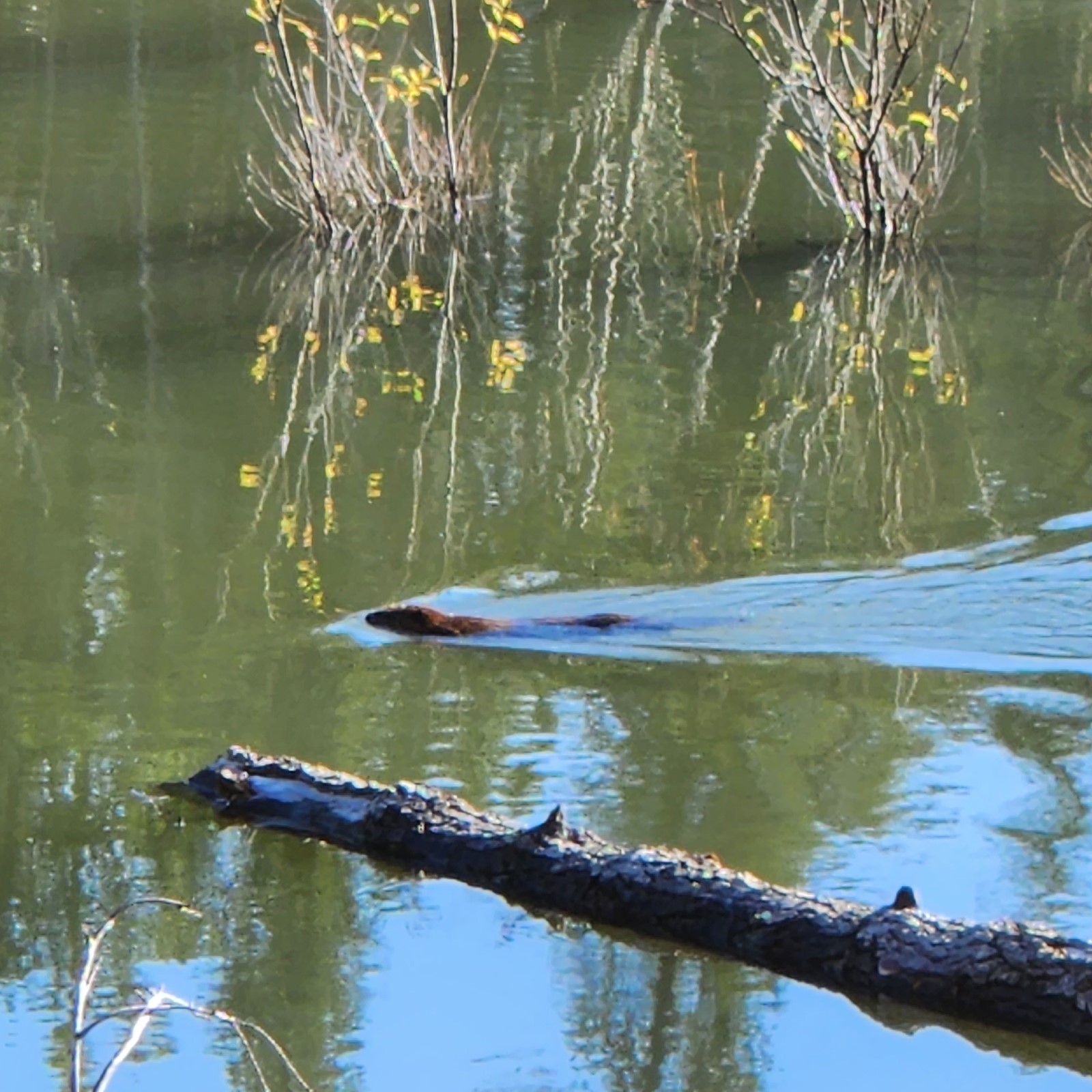
After the hike up through the hills the trail loops around to the stream where beavers make their home. The path along the beaver stream has some interpretive signs. I don't know what they are trying to say but please don't drink from the beaver pond, you might get beaver fever.
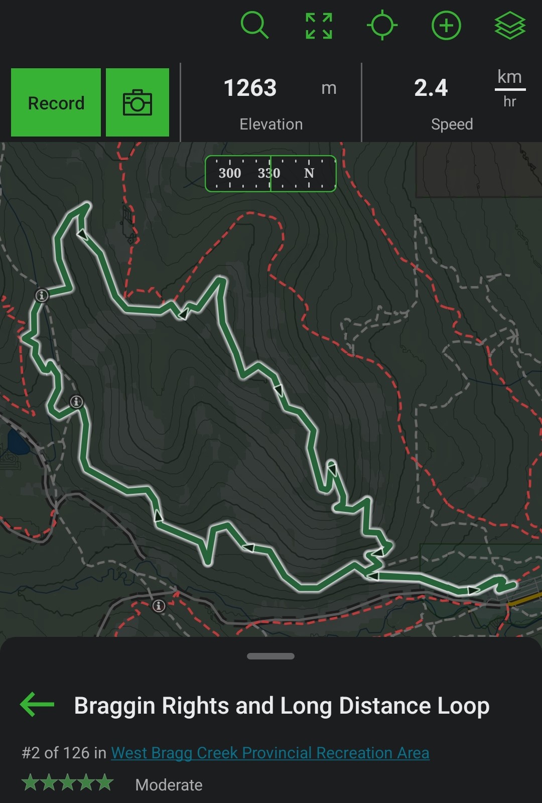
Here's the general loop. It's a trail rated 2/126 in this park and there are dozens of parks in the area. So lots more hikes to come. We went counterclockwise or against the arrows and around the end where the 'i' point is we left the green path to follow the stream and logging road.
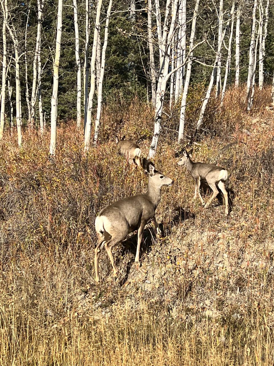
If you want to find deer, we see them almost everytime driving through Bragg Creek, it's the town where you have to drive through to access this park. One day, we would love to move a little closer to nature and have a daily coffee with the deer.
All photos taken with s22 and two taken with the iphone 13 pro max.
[//]:# (!pinmapple 50.94905 lat -114.69307 long Braggin Rights d3scr)
This looks insanely peaceful, I love it <3 Though I do imagine there's the small stress of getting lost if you've never visited before. Any case, great shots!
Thanks, it is a life changer moving closer to major parks. Don't worry about getting lost, the trails are well marked, there are maps at every junction and if you get a simple free hiking app like GAIA GPS you can sort of see where you are.
Daily Travel Digest #1871.
Become part of our travel community:
- Join our Discord
- Learn more about our travel application
Hiya, @LivingUKTaiwan here, just swinging by to let you know that this post made it into our Top 3 in Your post has been manually curated by the @pinmapple team. If you like what we're doing, please drop by to check out all the rest of today's great posts and consider supporting other authors like yourself and us so we can keep the project going!Cool, thanks for swinging by
This looks right up my alley. Will need to check it out. Nice pics!
Thanks, it's great this time of year as it's not too far, crowded and is perfect to get in shape for some real hiking in the mountains
nice, I also had a day trip recently. Difficult terrain 😅 I was not in shape. how did you manage the journey ?
Great photos, where is that? We went cross country skiing to stay somewhat in shape over the winter and walking isn't so bad, its the climbing that I'll never get used to. If it's more than a couple hundred meters, gotta take multiple breathers.
Praded malá Morávka. in the Czech Republic,
https://cs.wikipedia.org/wiki/Prad%C4%9Bd
Congratulations, your post has been added to Pinmapple! 🎉🥳🍍
Did you know you have your own profile map?
And every post has their own map too!
Want to have your post on the map too?
#posh