For the trail running event to be held in Bir, I have been given the task of marking the route, after which I will have to deliver hydration to the points decided in the event. After hydration, I will do photography work in the event and then send the results of the event to ITRA (International Trail Running Association) and then the work will be over. Right now the work on route marking is going on and for this I had to go to Hanumangarh.
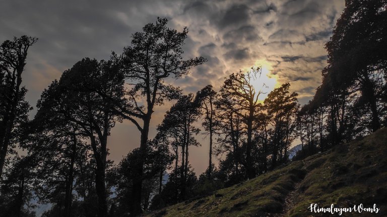
This post can also be called part-02 of the previous post because in today's post, we will again trek to Hanumangarh and the trail here will be marked. Today also we 3 people pack our bags and set out towards Hanumangarh peak fighting the scorching sun. For the last time, Sky, a female dog, is also with us. After having breakfast and packing from Bir, we set out on the route at 10 am.
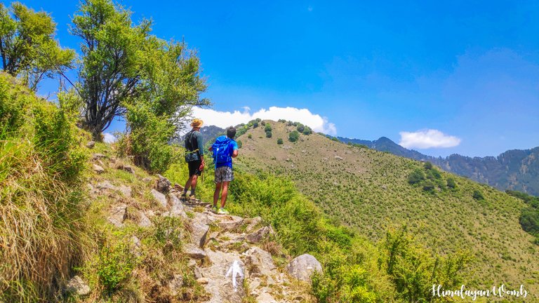
Our partner drops us at the bridge of Bari village by car, the car can go only till here, beyond this we will have to go on foot. We have reached 1550 meters from 1350 meters by marking. It is 12 o'clock and the sun is flying above our heads. The sun is so strong that the sweat from the marks is rolling down from the neck to the knees. Looking at the paragliders and birds flying in the sky, we wonder if the effect of the sun is less in the sky?
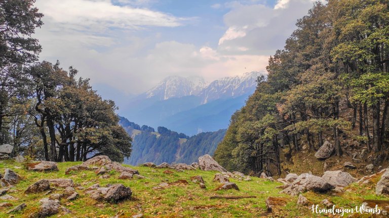
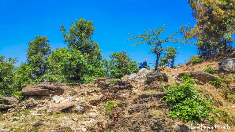
Crossing the first point on this route which is called Meadows, we enter the open area where there are no trees and now the strong sun is ready to swallow us. The next point is Bhalu Gufa from where the summit is 4 km away. By reaching here, the energy of all three of us has been drained due to the strong sun. And anyway, as soon as we come here from the plains, we reach above 2000 meters without any acclimatization, that is why we are facing a lot of difficulty in climbing.
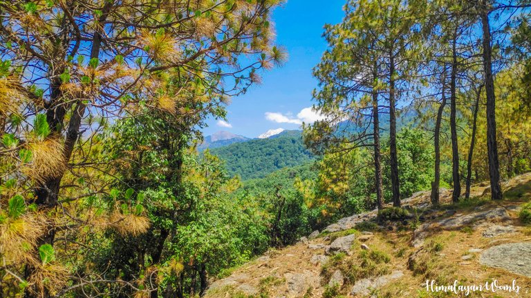
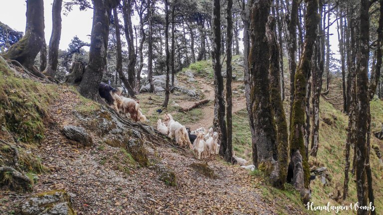
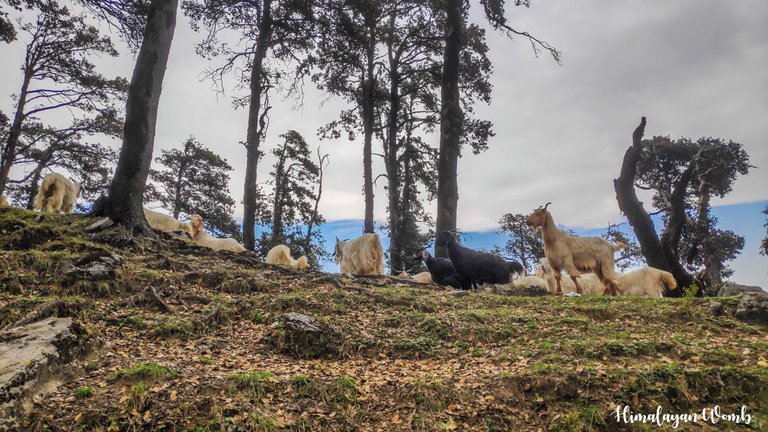
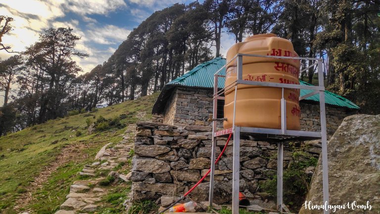
After about two and a half hours we reach Shepherd Hut where there is no Shepherd yet but the Shepherds have locked the baby goats in a room so that all the lambs do not run away. We are happy to see them and forget our tiredness. After spending some time here, we start climbing again. Some rhododendron trees are visible on the way, although the time of rhododendron is over in the Himalayas but due to the height, rhododendron flowers are still blooming on some trees here.
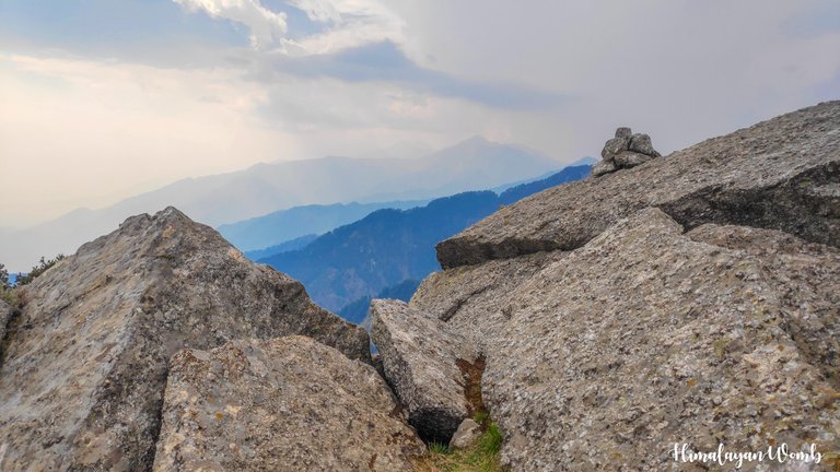
Wild strawberry flowers have bloomed on the forest floor which is telling that as soon as the monsoon arrives, strawberries will come in all these plants. But the bad thing is that by then I will not be here to eat them. As we move a little further, all the water we have brought with us gets finished and now we will have to go to Chhina Pass without water. From here onwards there is a boulder zone...there are big stones lying all around in the forest, by climbing on which we also make our way. After the water is finished, we are now moving more slowly.
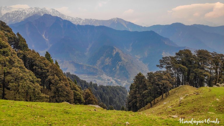
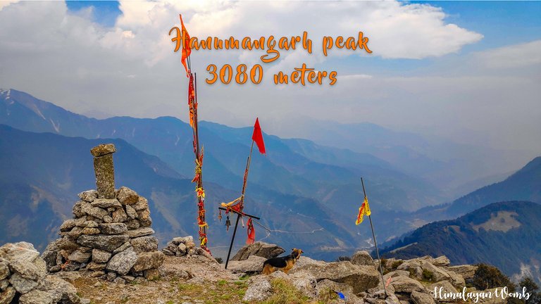
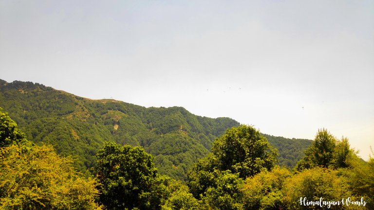
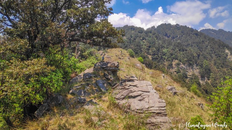
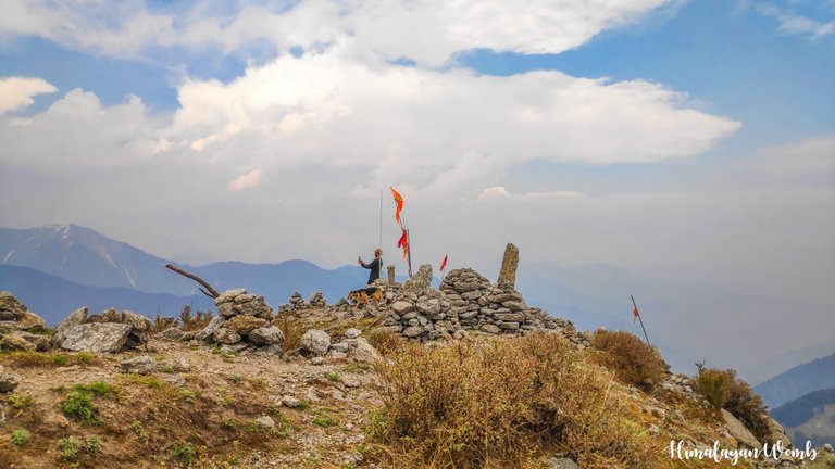
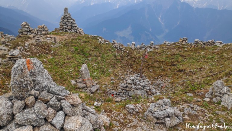
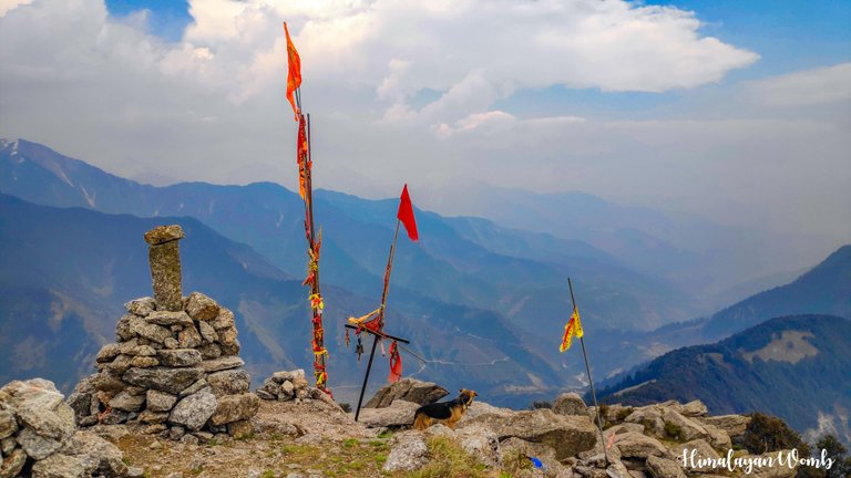
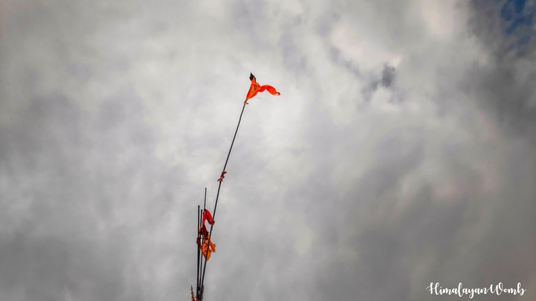
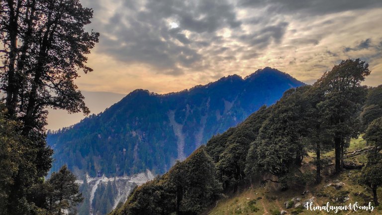
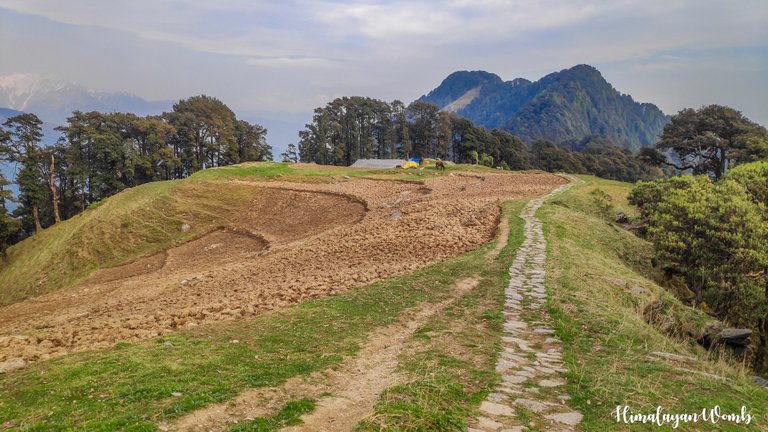
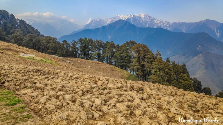
And finally after walking for a full 8 km we reach in front of Hanumangarh Peak. It took us 5 hours to reach here in which we gained an elevation of 1750 meters. A 360 degree view is visible from here. On one side Kangra valley is visible and on the other side Chota Bhangal is shining. Somewhere snow is visible on Thamsar Pass and somewhere melting snow is visible on Nohru Pass. After stopping here for about half an hour and clicking some photos, we start descending.
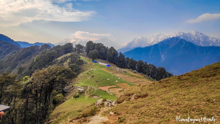
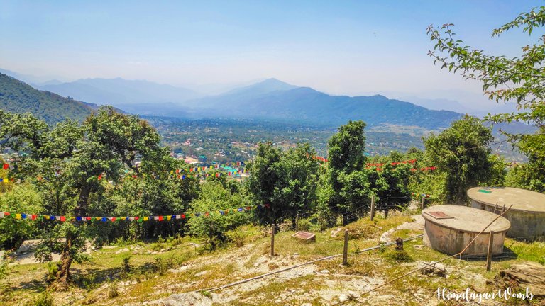
While descending, we see a tent after about a km where there are some local farmers who tell that these people are cultivating cabbage here. Moving ahead from here, we see a water pipe from which we drink water and fill it in our bottles and reach Chhina Pass at 6 pm. Chhina Pass connects Bir-Billing to Barot and Badagram. Stopping here, we drink tea and see the shining Gunhed village below. At 6:30, we move towards Billing on foot from here.
By now we have covered 12 kms on foot and Billing is only 6 kms from Chhina pass. To tell you the truth, I did not feel like walking at all but was forced to do so because we would not find any car here. We cross Gonale at a distance of 3 kms and I refresh my memories when I used to summit Hanumangarh from here almost every week. In another 40 minutes we reach Billing where the height is 2350 meters.
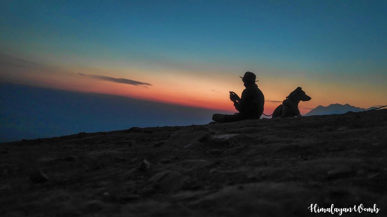
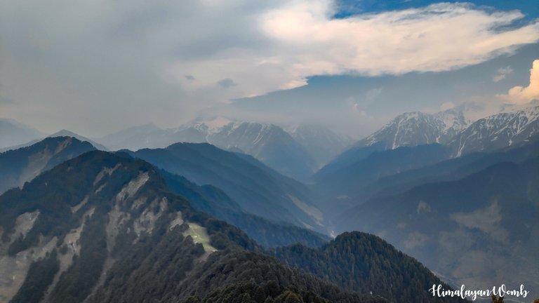
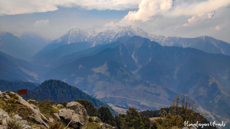
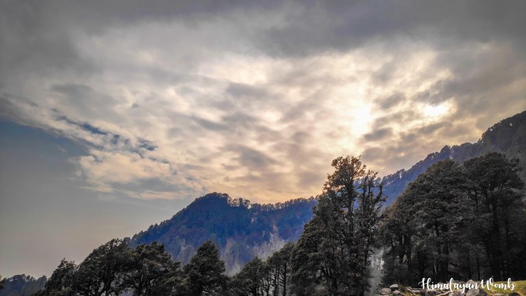
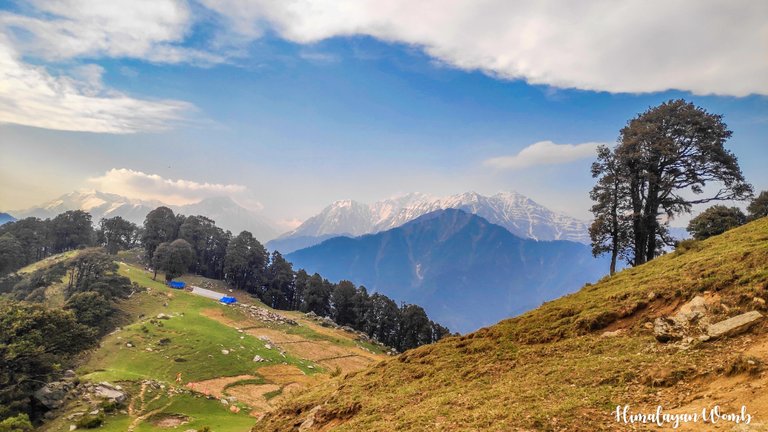
The sun is setting here and the Dhauladhar mountain range is shining like a jewel with the rays of the setting sun. It takes us a lot of time to get a lift from here. We wait here for about one and a half hours. Anyway, it takes us another 40 minutes to sit in a taxi and reach the hotel. After reaching the hotel, we take a bath, have dinner and straightaway go to sleep.
Disclaimer: This post is originally written in Hindi and I have used Google Translator to tranlate the Hindi text in English. All the photos have been clicked by me from POCO F1 and edited in Lightroom/photoshop.
Congratulations, your post has been added to Pinmapple! 🎉🥳🍍
Did you know you have your own profile map?
And every post has their own map too!
Want to have your post on the map too?
thank you team
Phado ki baat hi alg hai bade bhayii yhaa akr ek alg hi prakarr ka sukoon hai😍😍
devbhoomi jaisa kuch nahi is dharti par
👏 Keep Up the good work on Hive ♦️ 👏
❤️ @bhattg suggested sagarkothari88 to upvote your post ❤️
🙏 Don't forget to Support Back 🙏
dhanywad
@himalayanwomb, you are most welcome!
Please Support Back
Here is !ALIVE token gift for you
Wow, I'm sure I would love to visit this place. The photos are incredible, thank you for sharing 😊
thank you...yeah its like a must visit place for adventure freaks
Hiya, @livinguktaiwan here, just swinging by to let you know that this post made it into our Honorable Mentions in Travel Digest #2220.
Your post has been manually curated by the @pinmapple team. If you like what we're doing, please drop by to check out all the rest of today's great posts and consider supporting other authors like yourself and us so we can keep the project going!
Become part of our travel community:
Congratulations @himalayanwomb! Your post has been a top performer on the Hive blockchain and you have been rewarded with this rare badge
You can view your badges on your board and compare yourself to others in the Ranking
If you no longer want to receive notifications, reply to this comment with the word
STOPWow, this is a great achievement, thank you for standing with me in this achievement
Awesome work @himalayanwomb 🎉
I've never been up on the mountains at such a high altitude as in fact, we don't have mountains higher than 2,544 meters, but I can only dream to the day when I'll be able to get a bit of that feeling as you are closer to the sky and definitely part of new experiences and feelings. I know how powerful the sun feels when hiking, but what about the dizziness of the air? Did you have any problems with it?
The highest mountain in the Indian Himalayas is 8586 meters high, at some places vehicles run at 6000 meters. You must visit such high mountains once, this experience will be very special. Watching the setting sun from such a height is very magical. Here in India, most foreigners visit Ladakh which is also called Mars.
The strong sunlight at high altitude burns the skin very fast, I have not suffered anything other than tanning till date, but yes, the air becomes very thin at high altitude due to which vomiting, dizziness, nose bleeding starts. And yes, at high altitude both hunger and thirst disappear.
बधाई बाबा
Dhanywad sir
Sunder scenery me nazar hi nhi thahar rhi . Sirf k hi word muh me rha h ' beautiful'
sach mein pahad abhi bhi original hain. thank you apke sundar se comment ke liye
Welcome