Read this post on TravelFeed.io for the best experience
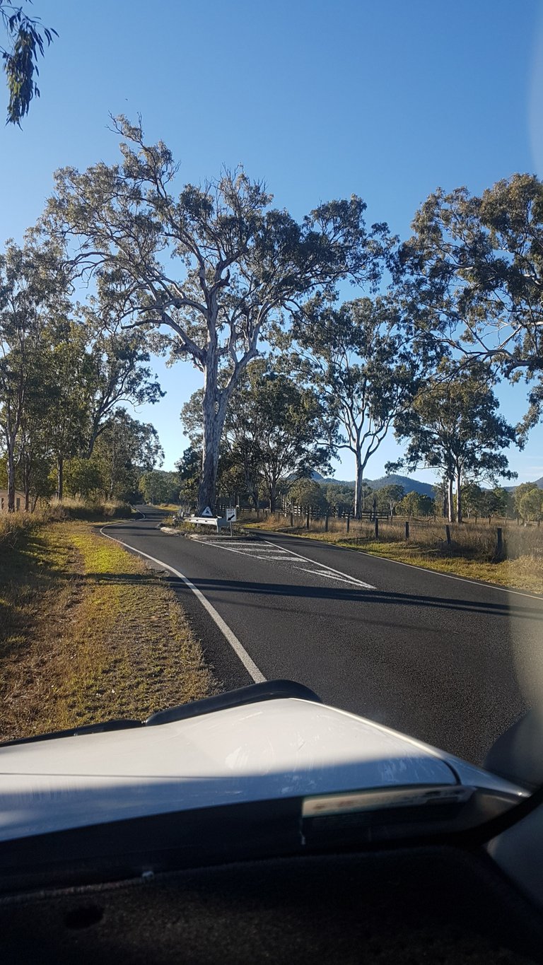 You don't see that every day; a road built around a tree.
This was one of the first summit hikes my partner and I did together a few years back. Covid interstate travel restrictions had stopped any of our bigger adventures so we started picking off lots of the local summits we had not done.
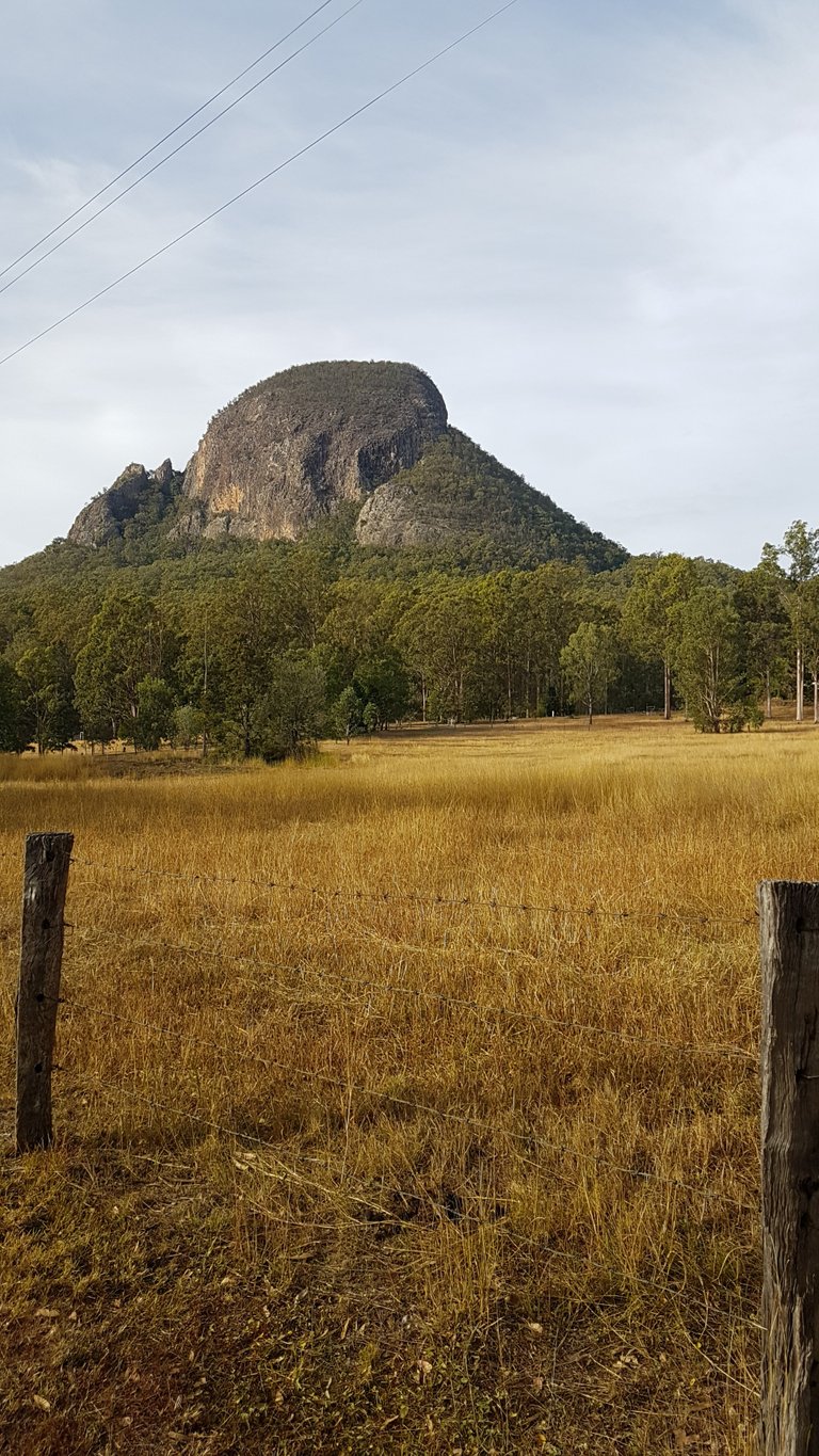 Welcome to Mt Greville: 760 metres above sea level, 100km south west of Brisbane and part of the Moogerah Peaks National Park in the Scenic Rim Council Area. The Aboriginal (Ugarapul) people called this peak Moogerah meaning "Thunder" but they also called other peaks nearby Moogerah so that's why European Settlers called the whole area Moogerah Peaks National Park. (Info Source: Qld National Parks.)
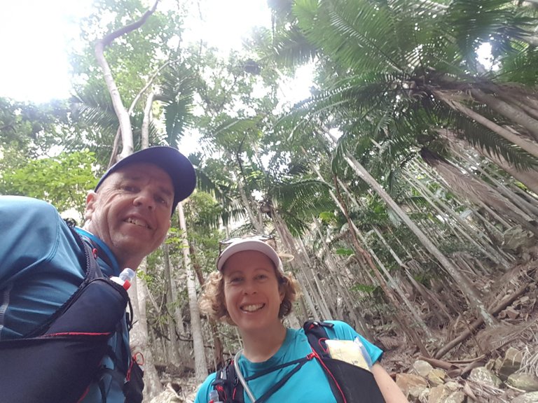
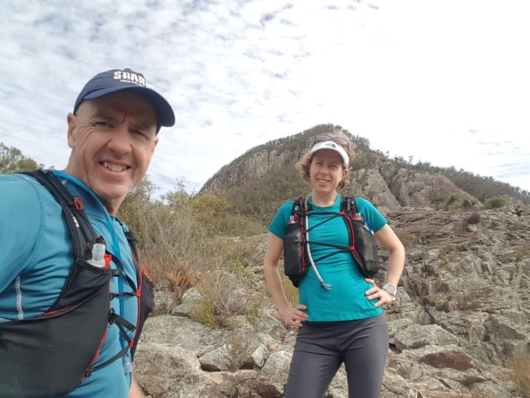
 This should be fun!
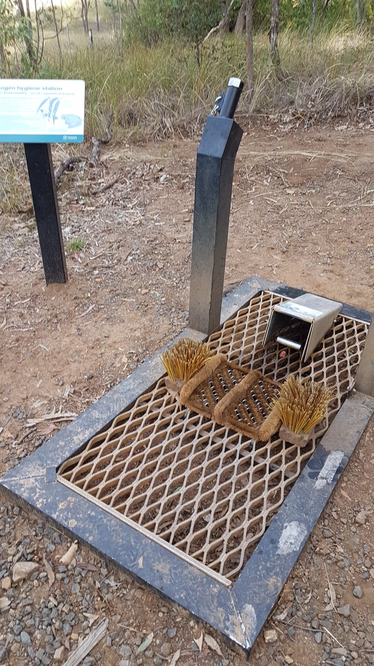 Boot wash station (designed to reduce the spread of certain weeds).
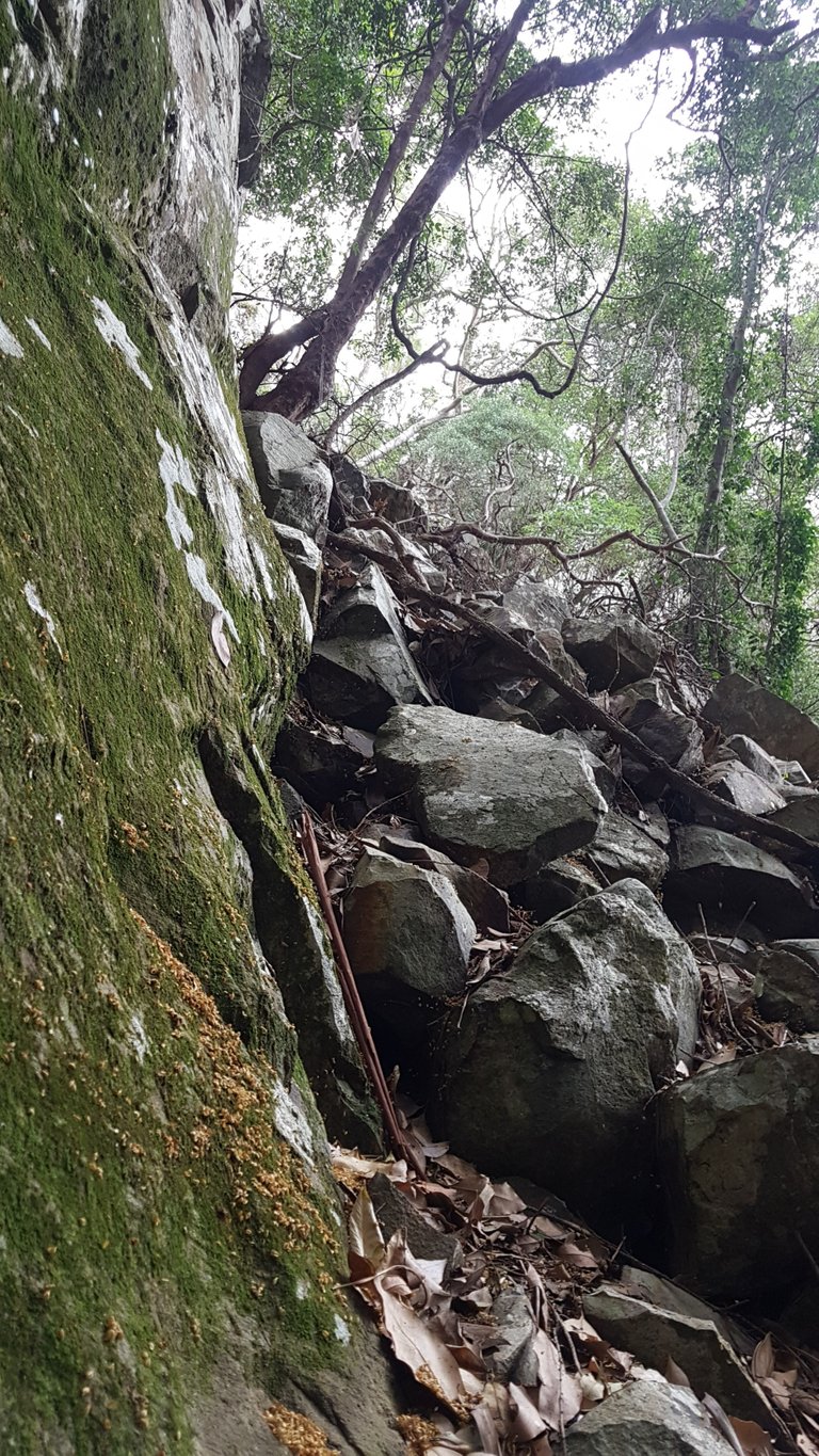
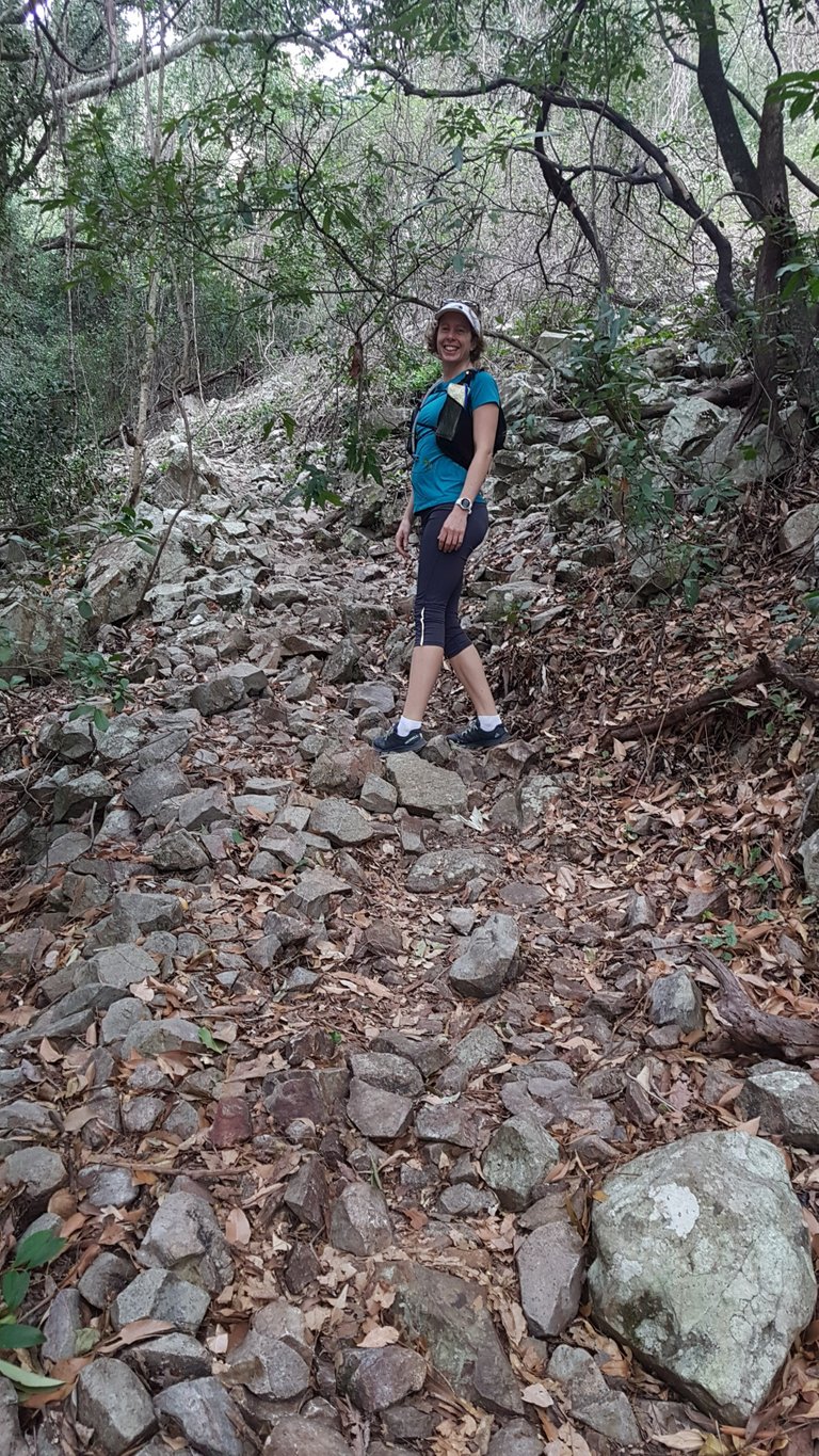 Easy enough incline to start off, but you had to pay attention where you put your foot with all the rocky terrain.
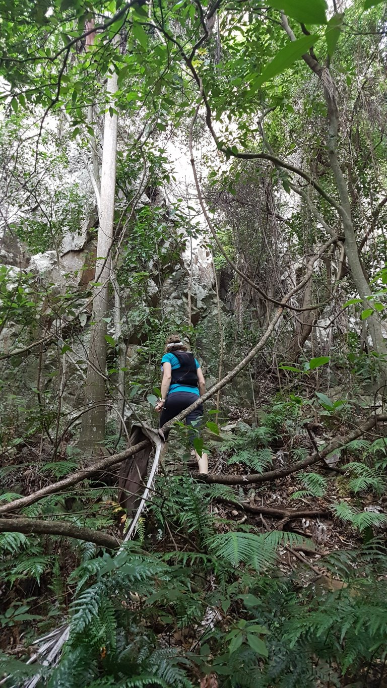 It definitely got more technical heading into Palm Gorge.
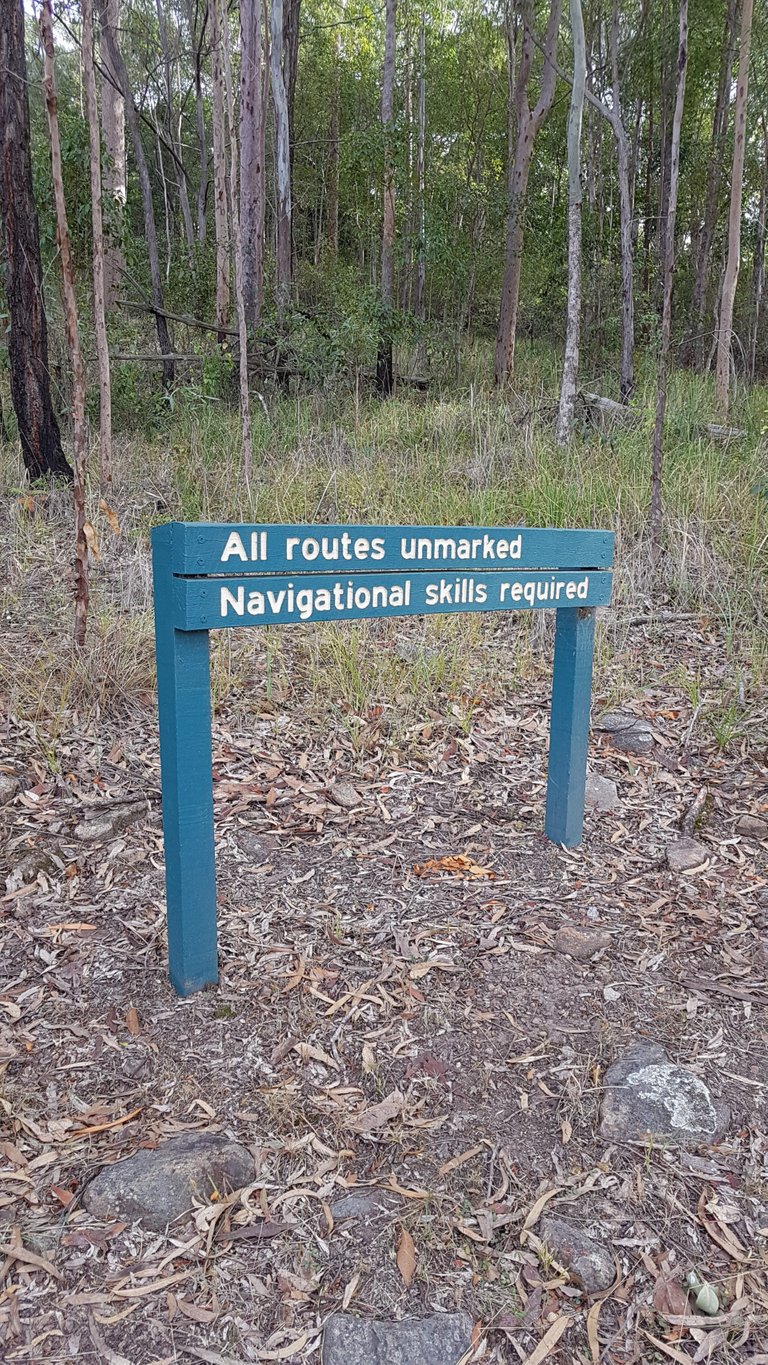
 No markers but basically you just make your way up the middle of the (steep!) gorge.
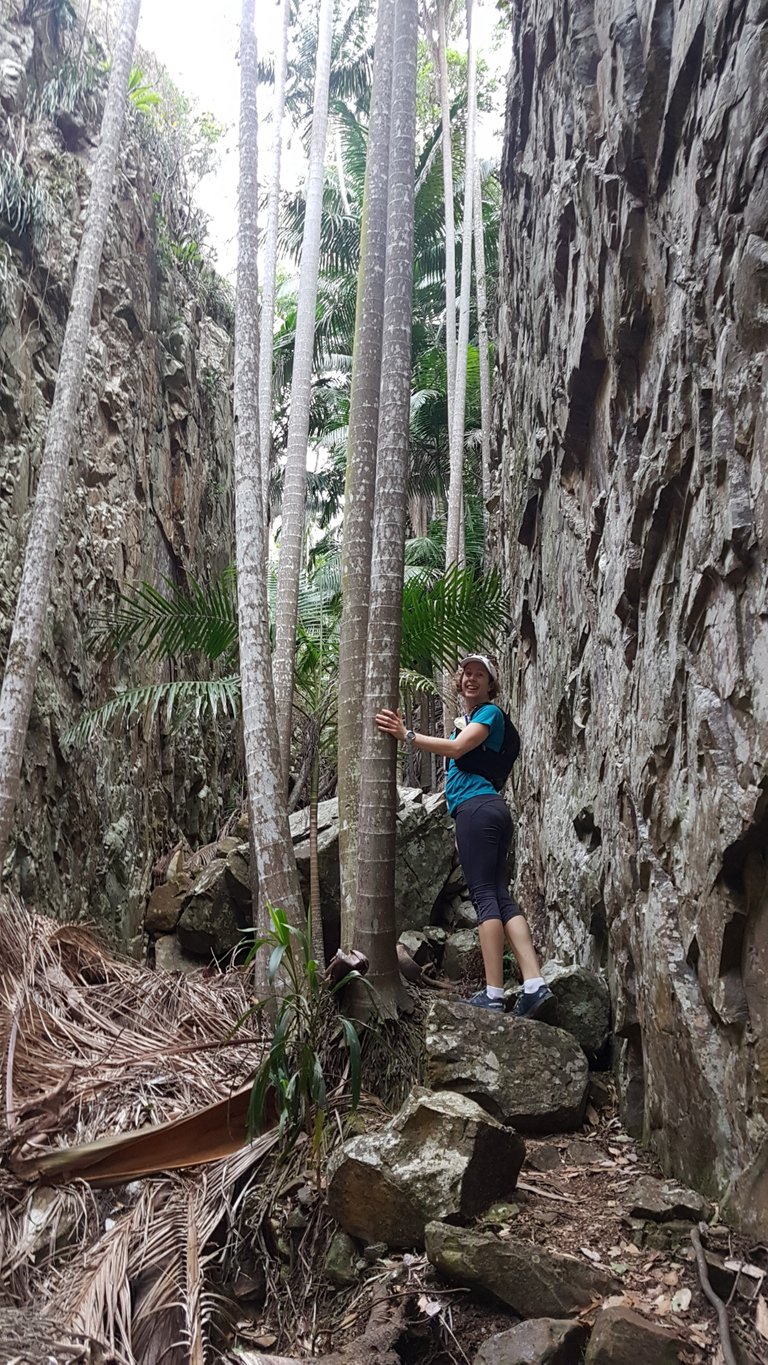
 That why they call it Palm Gorge: palms are everywhere between all the loose rock.
 There were a few challenging sections but all good rock scrambling fun.
 The Gorge walls were pretty high so we were always on the look out for loose rocks and other hikers above and below.
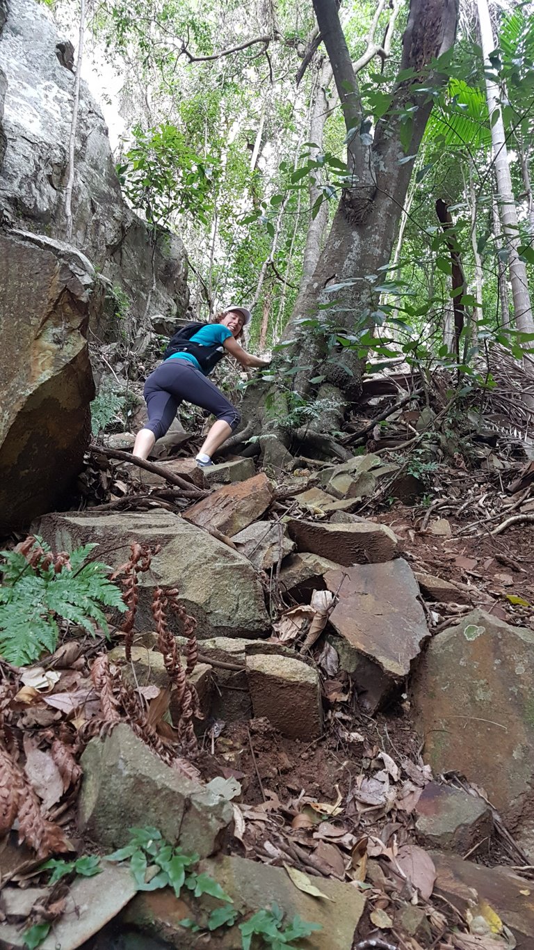
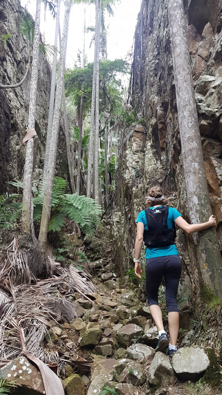 At times it was steep enough and/or technical enough that we had to hold onto trees just to keep our balance.
 Baby View Lookout
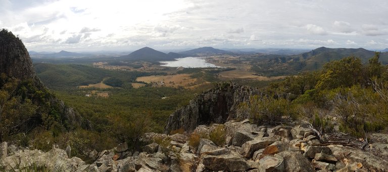
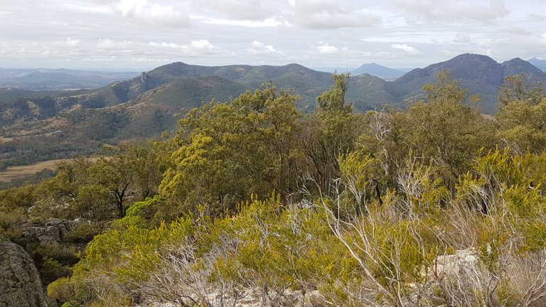
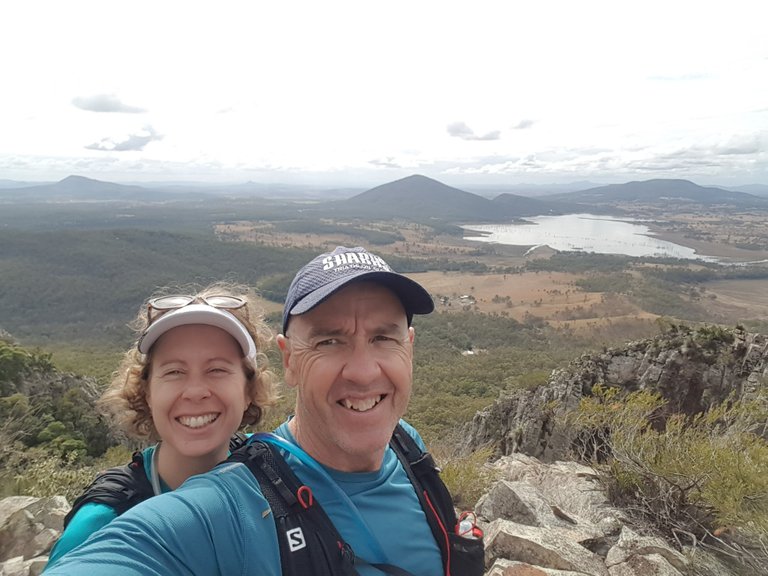
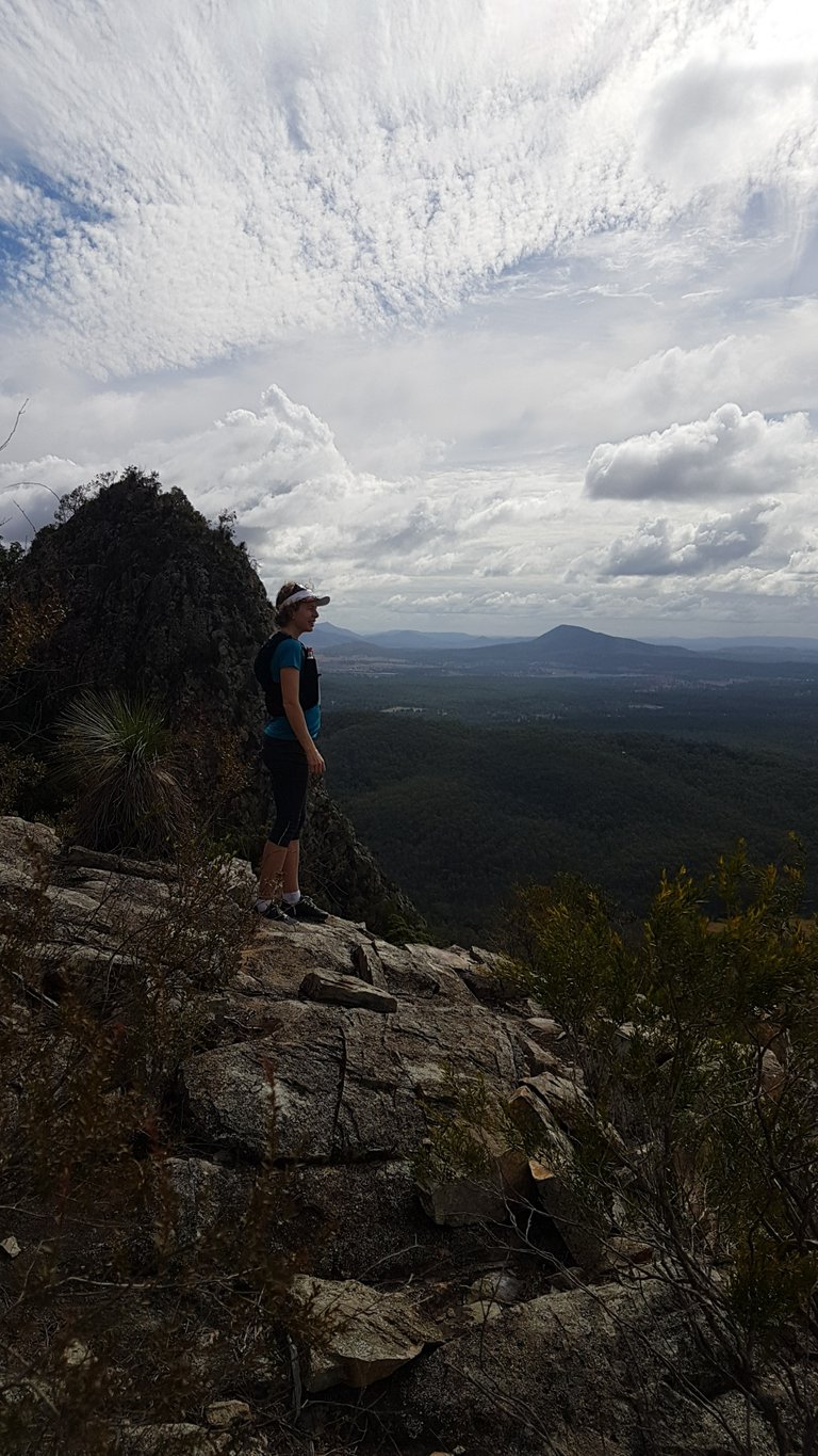
 We made it to the top where there was a great view of the local area.
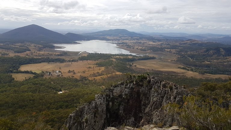
 Moogerah Dam in the background and Mt Edward in the middle, top of photo.
 This was Slab Rock Lookout where we stopped for a look on the way down.
 Some different types of clouds rolling in too. Would be a pretty slippery hike if it rained!
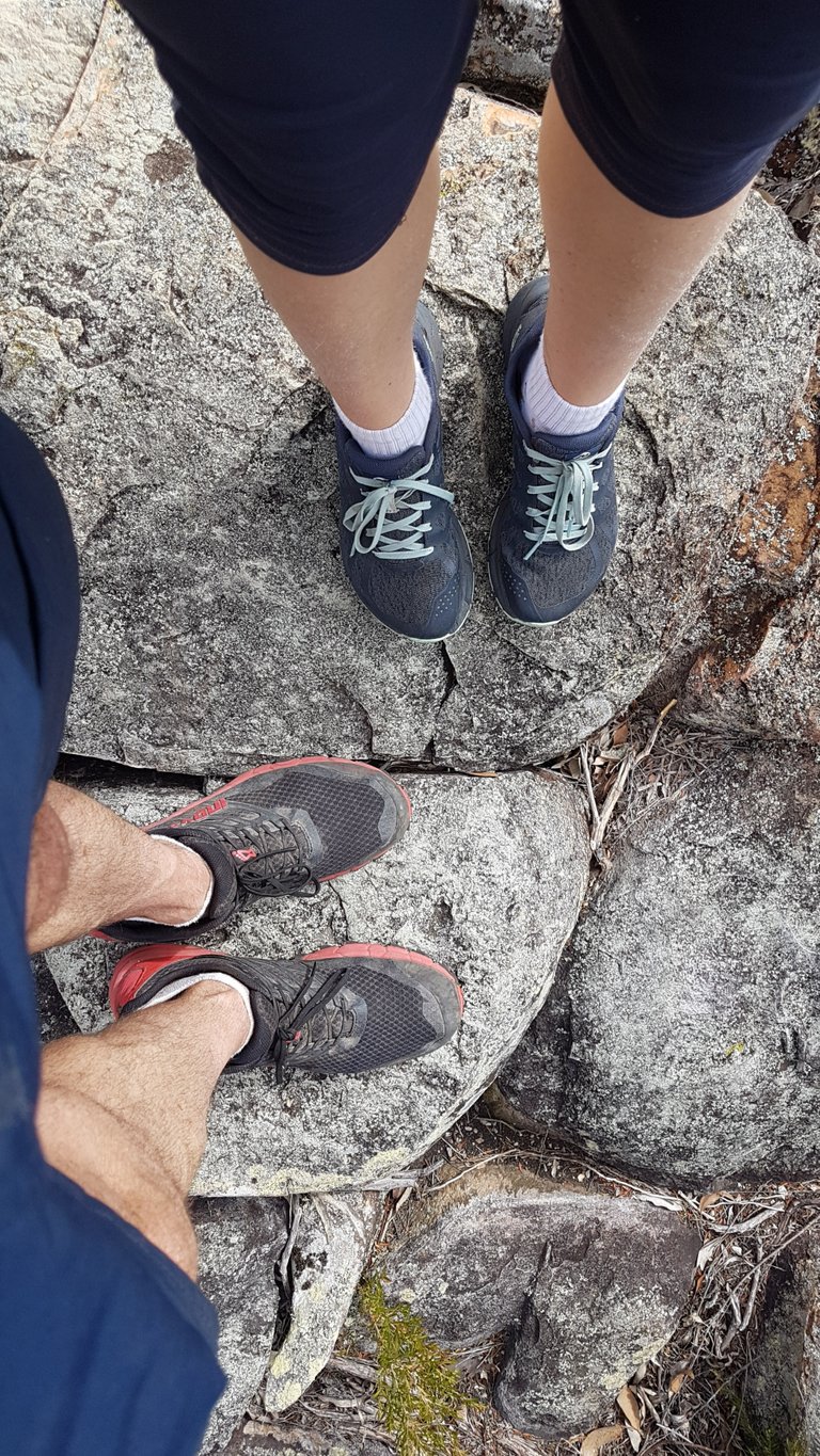 Shoe and dirty knee shot. I think from memory I had a dodgy right ankle and was leading with my left leg all the time on the rock scrambling.
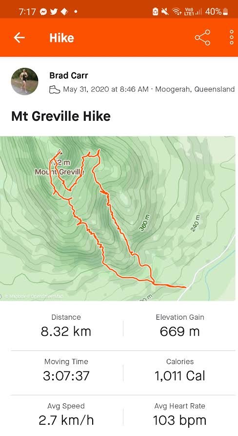 We went up Palm Gorge on the left side of Strava map, then down Waterfall Gorge on the right, via the Slab Rock Lookout. We actually got a little off track for a bit on the way to Slab Rock Lookout but it was not too much of a problem as we could generally always see where we were heading. There was also another track along the top of the South East Ridge but Waterfall Gorge sounded way more enticing even though there were no waterfalls to be seen! I imagine the whole gorge would become a waterfall with a bit of rain.
And that's another South East Queensland summit ticked. Woo! We hope to do as many of them as we can. Do you like hiking up small or large mountains? If you do, where have you been?
View this post on TravelFeed for the best experience.
I !LUV revisiting our trips this way! 😍
Hahaha, I still remember how amazed you were at seeing a tree in the middle of the road for the first time 😉😏😀😂😅🤣😁😆😄 !LOL
lolztoken.com
Prism, it's a light sentence.
Credit: reddit
@new.things, I sent you an $LOLZ on behalf of @consciouscat
Use the !LOL or !LOLZ command to share a joke and an $LOLZ. (3/6)
!LUV !LOL and !hivebits
lolztoken.com
Hey, that's false advertising!
Credit: reddit
@consciouscat, I sent you an $LOLZ on behalf of @new.things
Use the !LOL or !LOLZ command to share a joke and an $LOLZ. (4/6)
Congratulations, your post has been added to Pinmapple! 🎉🥳🍍
Did you know you have your own profile map?
And every post has their own map too!
Want to have your post on the map too?
Those Palms are amazing, I didn't expect to see in such as rocky places. Are those palms have fruits? Thank you for sharing such as interesting trip.
Good question, I'm not sure what type of palm trees they where or whether they any coconuts on them.
Hi new.things,
Join the Curie Discord community to learn more.
Congratulations @new.things! You have completed the following achievement on the Hive blockchain and have been rewarded with new badge(s):
You can view your badges on your board and compare yourself to others in the Ranking
If you no longer want to receive notifications, reply to this comment with the word
STOPCheck out the last post from @hivebuzz:
Congratulations @new.things! You received the biggest smile and some love from TravelFeed! Keep up the amazing blog. 😍
Thanks for using TravelFeed!
@smeralda (TravelFeed team)
PS: Did you know that we recently launched the truvvl app? With truvvl, you can create travel stories on the go from your phone and swipe through nearby stories from other TravelFeed users. It is available on the Apple App Store and Google Play.
I love hiking in my north side 1000 km away from my location. It is really enjoyable moments of life.
Yes hiking is a great experience.
Hi @new.things, your post has been upvoted by @bdcommunity courtesy of @rehan12!
Support us by voting as a Hive Witness and/or by delegating HIVE POWER.
JOIN US ON
What cool pics! This is like a real kind of hiking for pros! Yay! 🤩👍👍
🥦 !BBH 🥦
Thank you mizuosemla
Because this is such an awesome post, here is a BBH Tip for you. . Keep up the fantastic work
That's bloody awesome! I've heard from a bloke that moogerah dam is a real nice place also. I think I'll be heading that way soon to check it OUT.
!LOL !hivebits
lolztoken.com
Because his paint was running.
Credit: reddit
@new.things, I sent you an $LOLZ on behalf of @new.aaron
Use the !LOL or !LOLZ command to share a joke and an $LOLZ. (1/1)
Yay! 🤗
Your content has been boosted with Ecency Points, by @new.things.
Use Ecency daily to boost your growth on platform!
Support Ecency
Vote for new Proposal
Delegate HP and earn more
That is a great one mate. Well done 👏.
Nice photos.
Over 3 hours hiking, so good 👍
Cheers mate. After a few hours I find it harder on the legs on the way down rather than up !LOL
lolztoken.com
Friday is open Mike night.
Credit: reddit
@punknature2021, I sent you an $LOLZ on behalf of @new.things
Use the !LOL or !LOLZ command to share a joke and an $LOLZ. (1/6)