Namaste 🙏
Hope you all are doing great.
I went on another adventure for two days in Himalayas that’s why I was not able to write for a couple days. Now I’m back with more adventure stories in my bucket for you guys.
Let’s start from where we left. We were hunting for water below the ridge at Khobi and in this blog I’m gonna write about my experience of climbing onto the ridge.
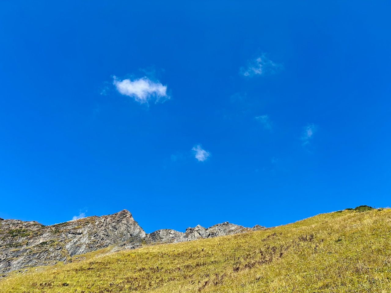
So we started from Khobi, and we hiked up to the ridge until we saw the Bethar shrubs. We had an adequate amount of water that should be enough for our expedition up to the summit, but we were slowly getting exhausted. Therefore, we need some food as soon as possible.
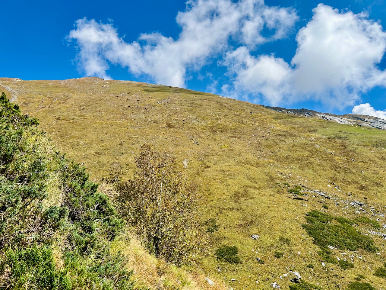
While climbing, we saw an bhojpatr tree. That tree was the last tree on our way up. It’s a kind of tree that grows at the highest of altitude and it has a significant role in history.
There is a kind of layered structure on the bark of this tree. That layered structure was later took out in layers to write manuscripts on it. Many holy scripture of Hindu mythology has been written in this particular form and as already mentioned, this tree is only found at highest of the altitude and is one of the highest trees in high altitude flora so it was quite valuable since ancient times.
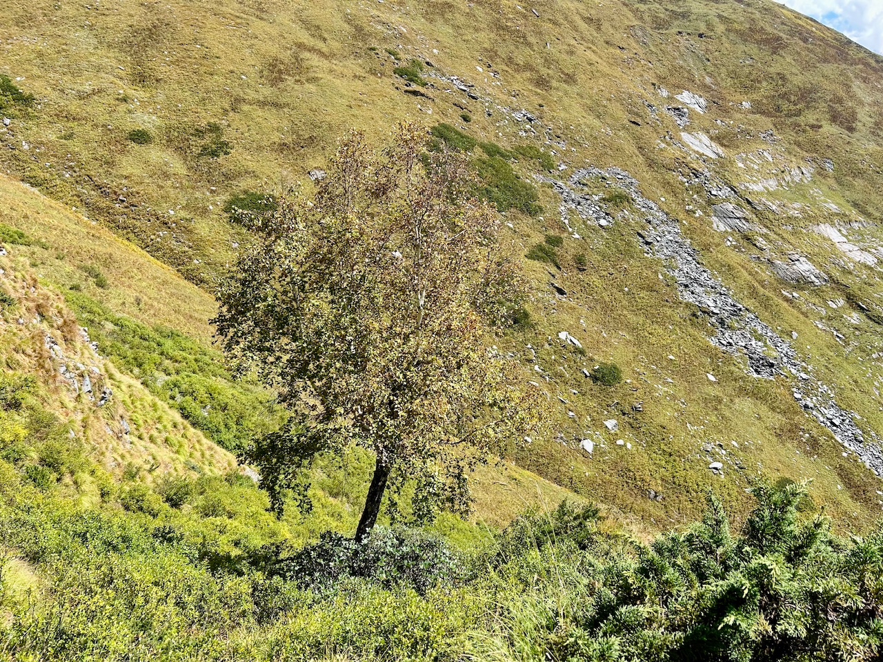
This tree is sacred for Hindus and Buddhist religions and so it has been over harvested and also very delicate in growing. That’s why you don’t see many trees in the wild often. We were quite lucky to see this one.
Apart from this, we also spotted some Bethar shrubs. These shrubs are also sacred. I wonder, how hard people work to get them in as they are also growing only in high altitudes.
It is used as an offering in traditional Kulavi culture for deities of Kullu Valley, and it’s also used in making Dhoop.
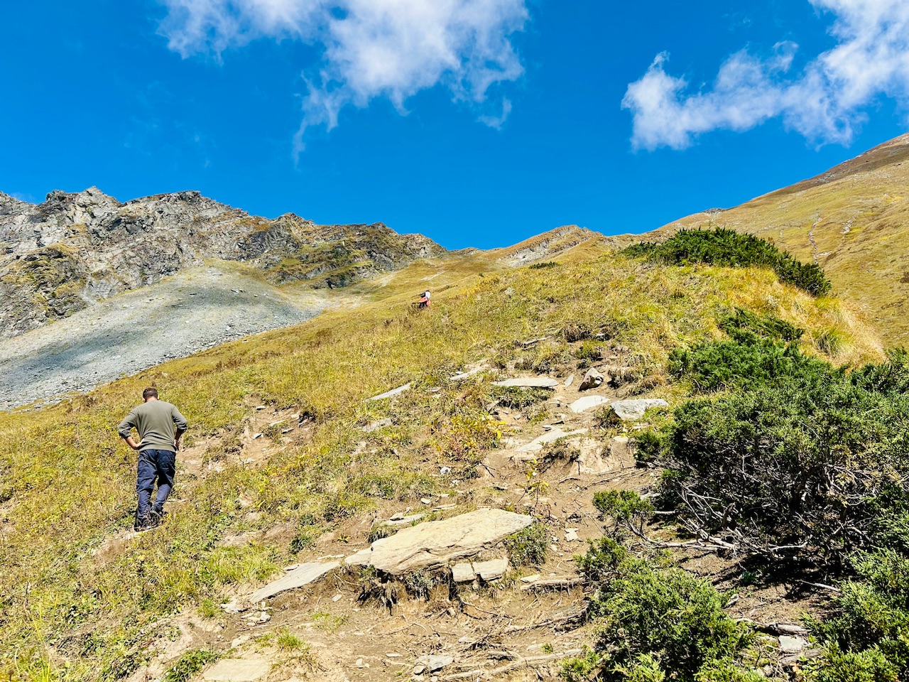
As we climbed up, we got to know that we did not had to get over the ridge to get on the summit. Instead, we had to move slightly right words, and summit was visible from there.
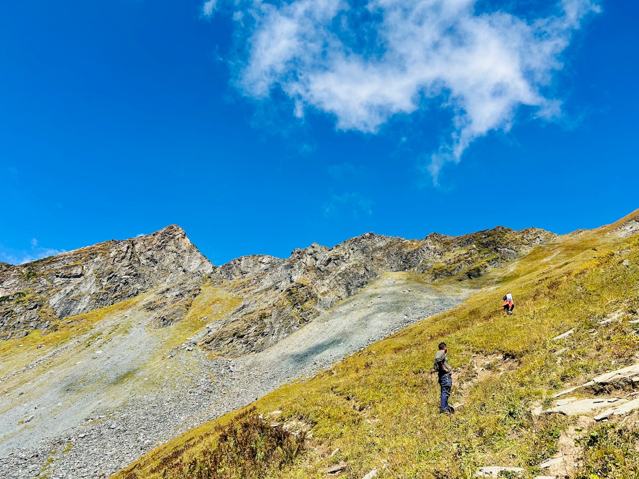
The rightward way was not as difficult as it looked from down below. Although it was steep, but it was not that technical.
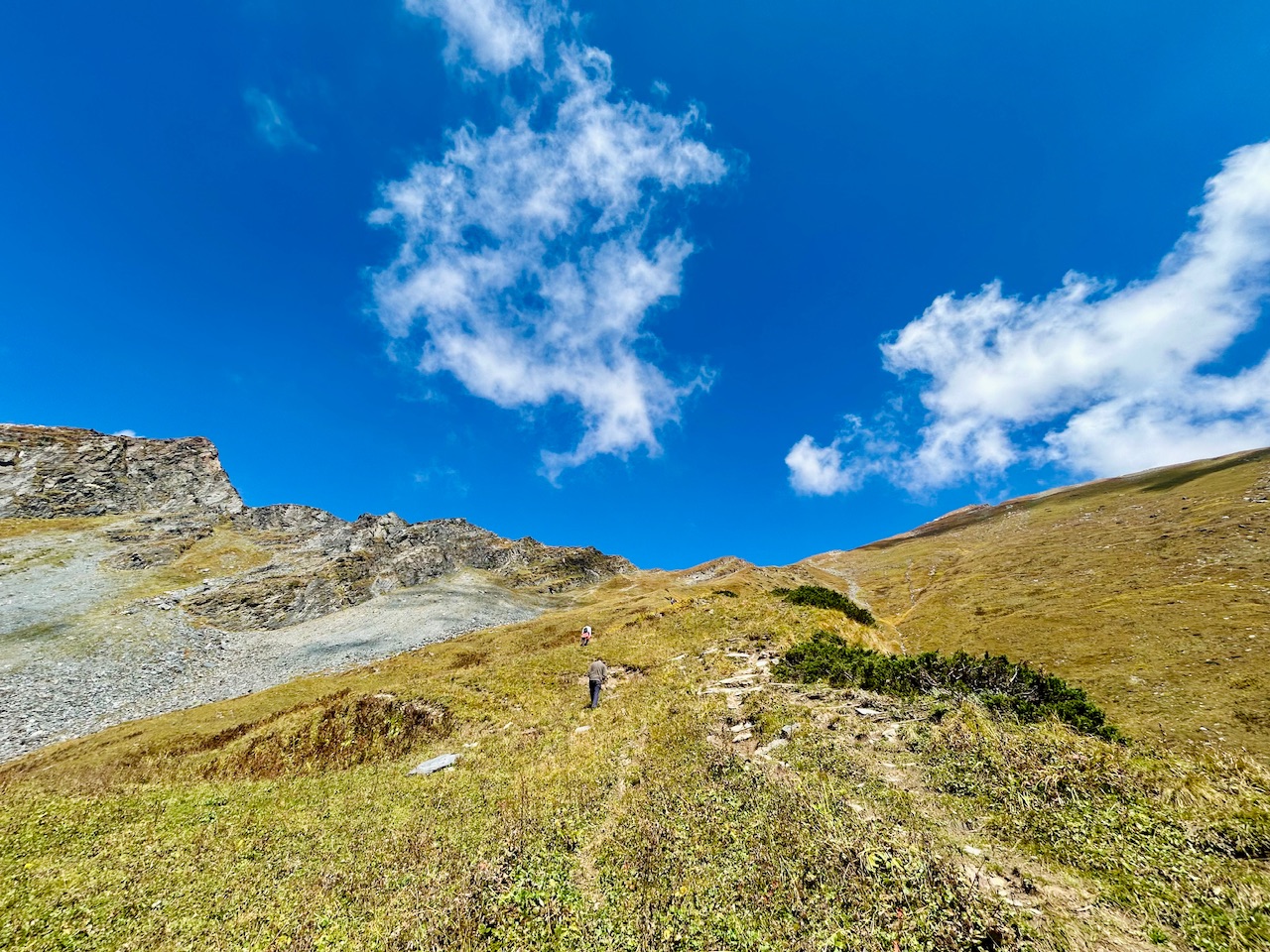
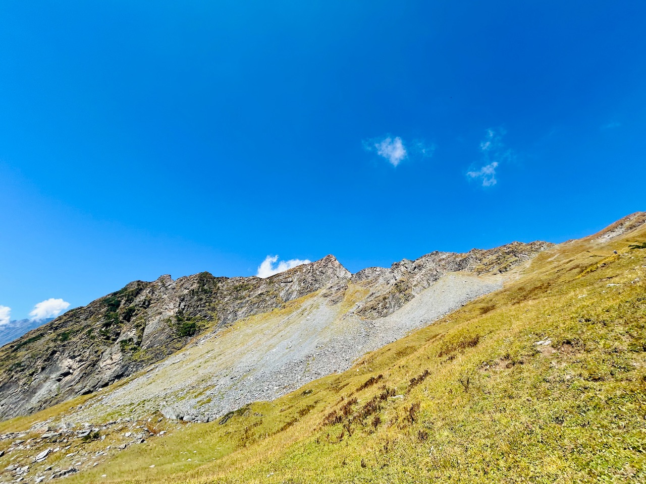
As we gained elevation, we started to see the ridge right in front of our eyes. We were still at about 3900 m of elevation from sea level, and we needed to gain an extra 500 m of elevation to get up to the summit. I wondered how beautiful this ridge would look from up above.
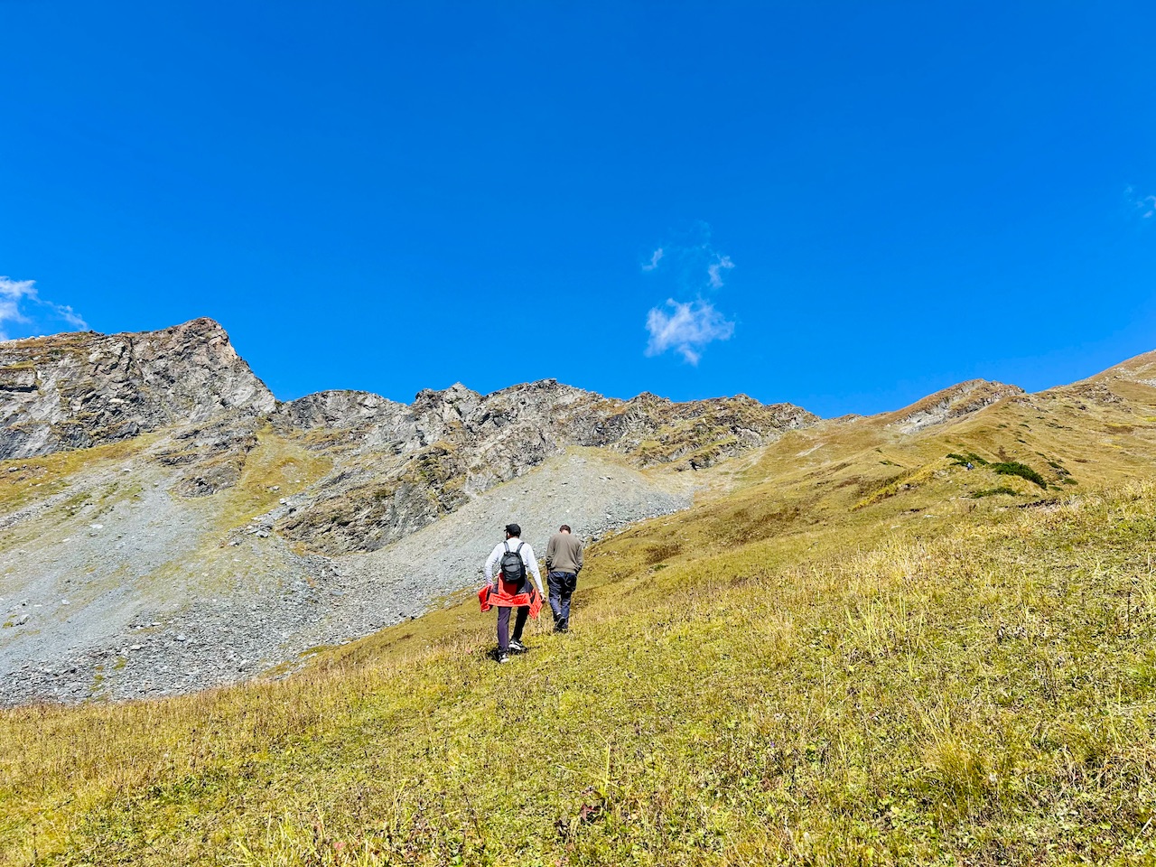
We kept on walking until we saw the last shrubs of Bethar. There were no sign of bats above that particular altitude.
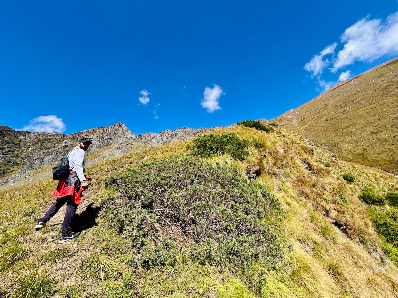
After that certain point, we saw some dried out shrubs. Those shrubs were dried out by the lower temperatures that occur here at the night time.
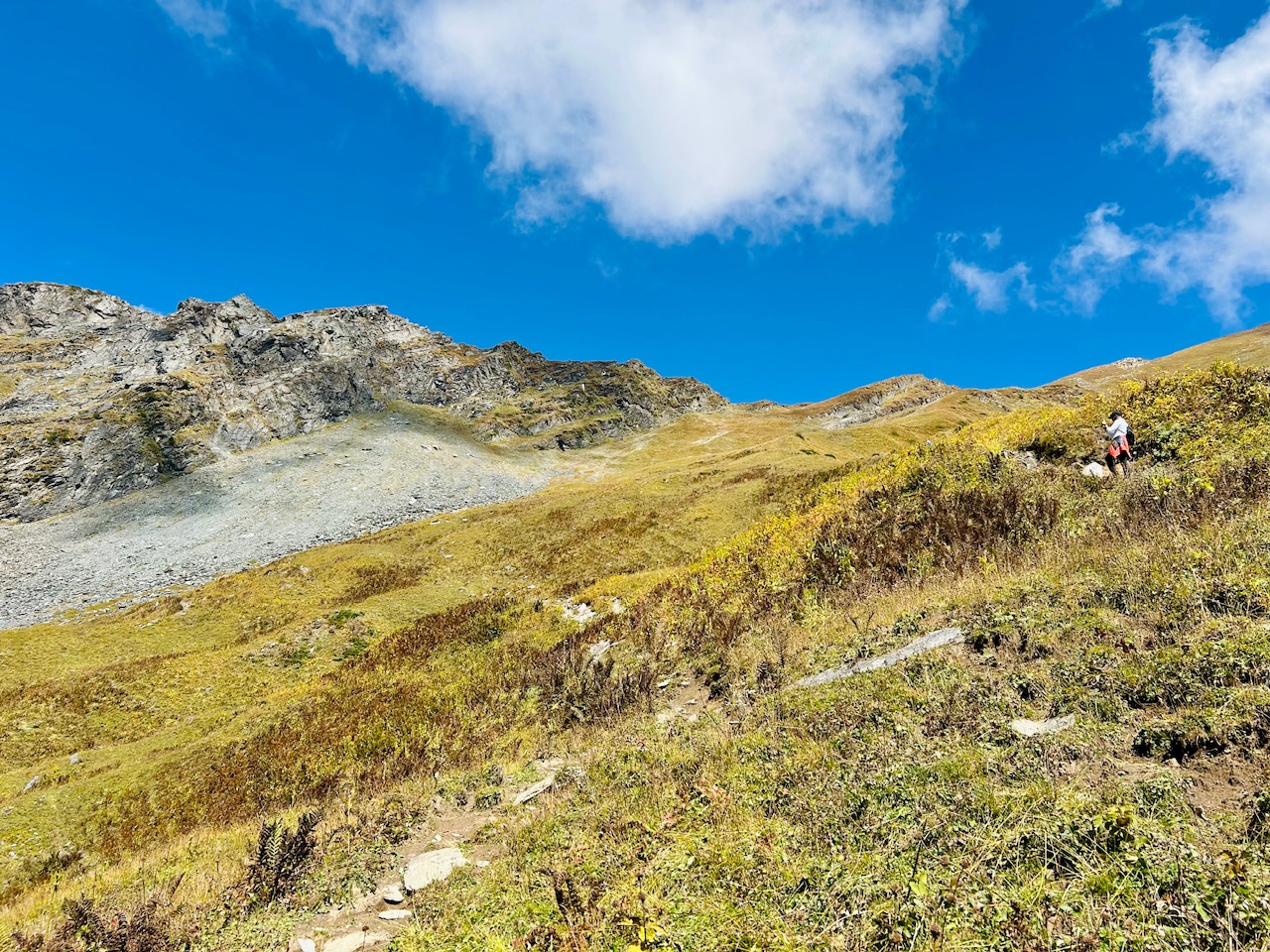
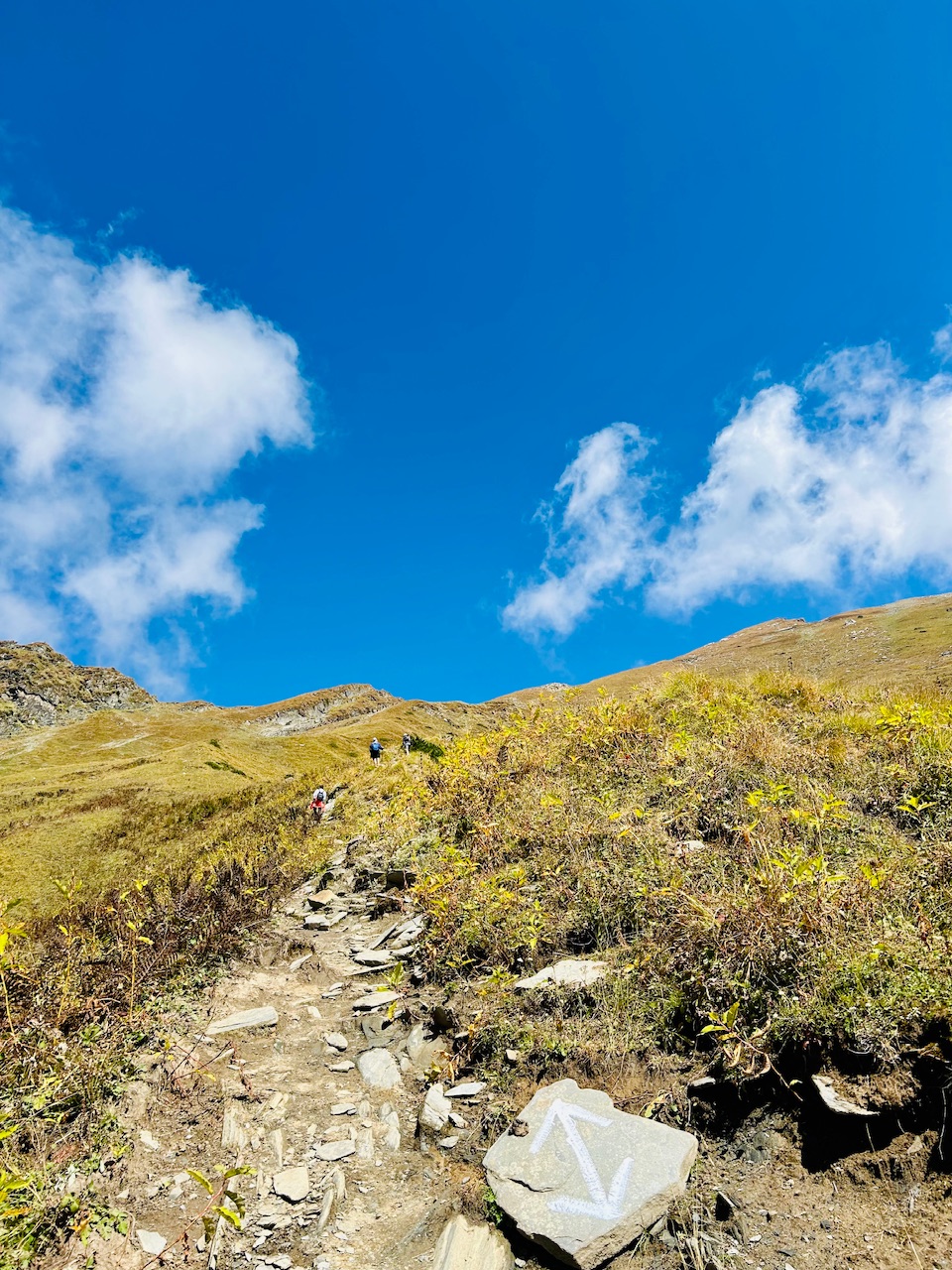
We also saw the trail markings and that boosted our confidence, we were on the right track. We were slowly getting exhausted as the altitude also started to increase. We were gaining elevation quite quickly as the slope was very steep and that burned a lot of energy that was inside us. We needed a quick recharge.
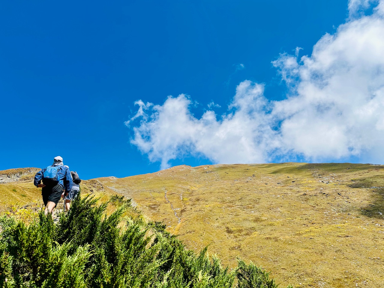
We also met some fellow hikers, just after we crossed those dried out bushes that made us realise that we were hiking quite fast as we came across those hikers who started an hour ahead of us.
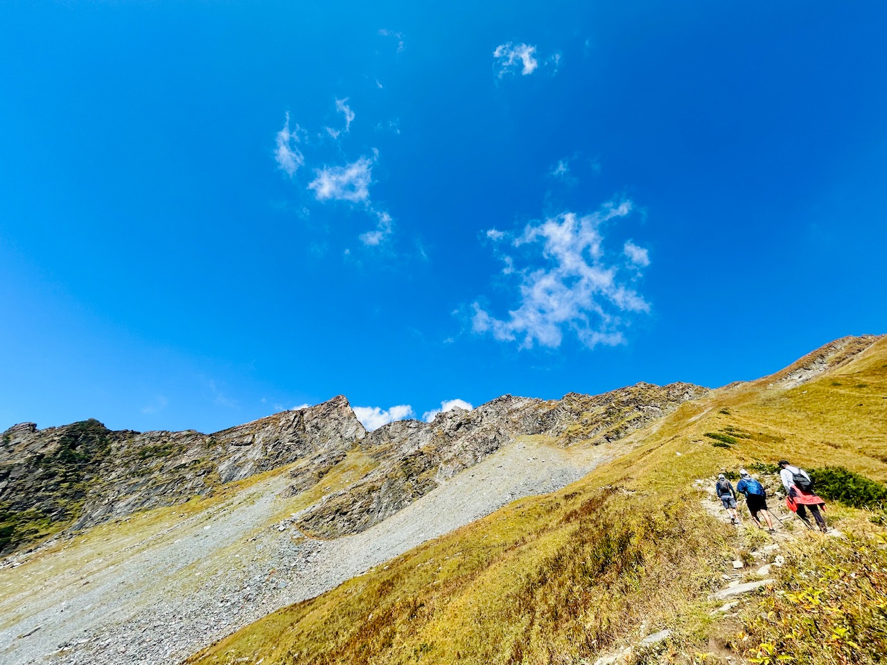
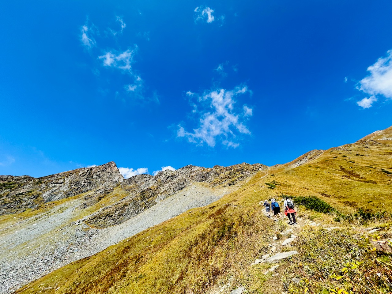
Be pushed ourselves a little more and thought that we would have lunch right when we will come in parallel to the ridge.
The slope was getting steeper, and the hike was getting difficult, but we kept moving. The terrain already looked quite dangerous, but we had to climb quite higher than that, and we were excited for that.
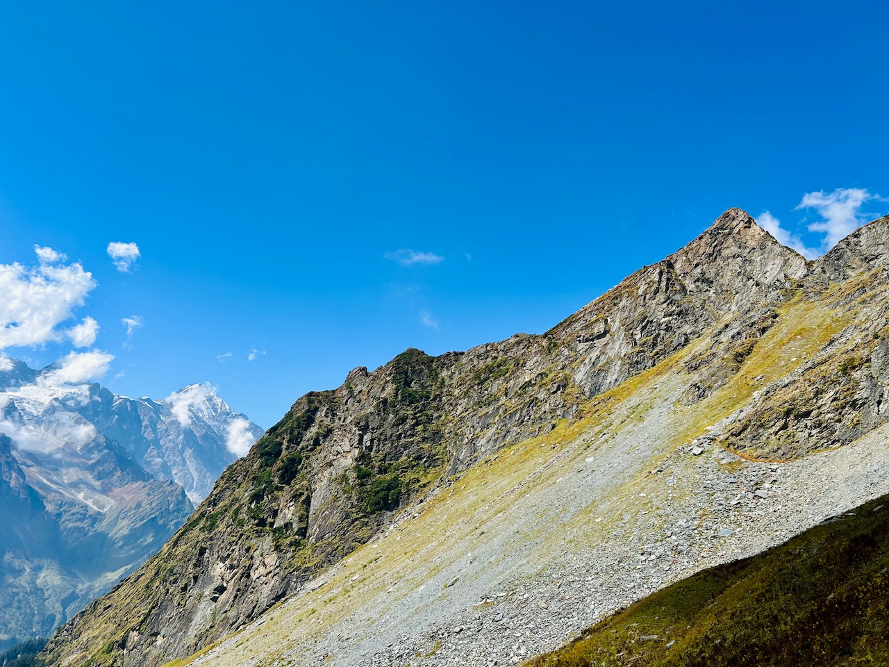
Lunch at an elevation of 4000m-
Firstly, we thought that we have lunch once we reach parallel to the ridge, but we were so tired that we had to have something to eat at that very moment. So I took out the Siddu that we bought and started to serve it to everyone.
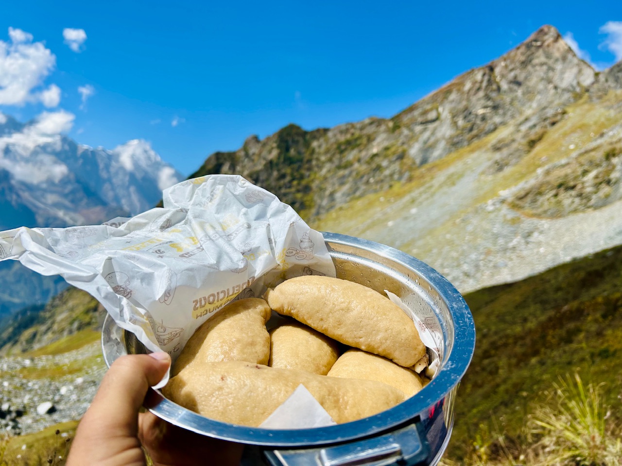
Sidhu is a local Kulavi dish that is made out of steamed bread and it has feeling of poppy seeds, walnuts, and some masalas. It’s Best enjoyed with fresh mint Chutney and some Desi ghee.
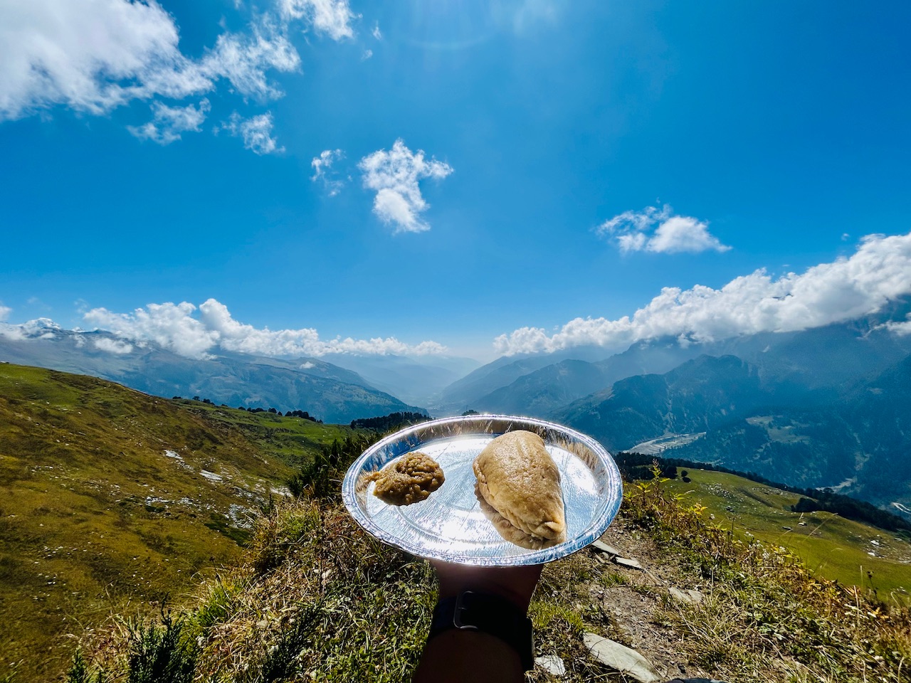
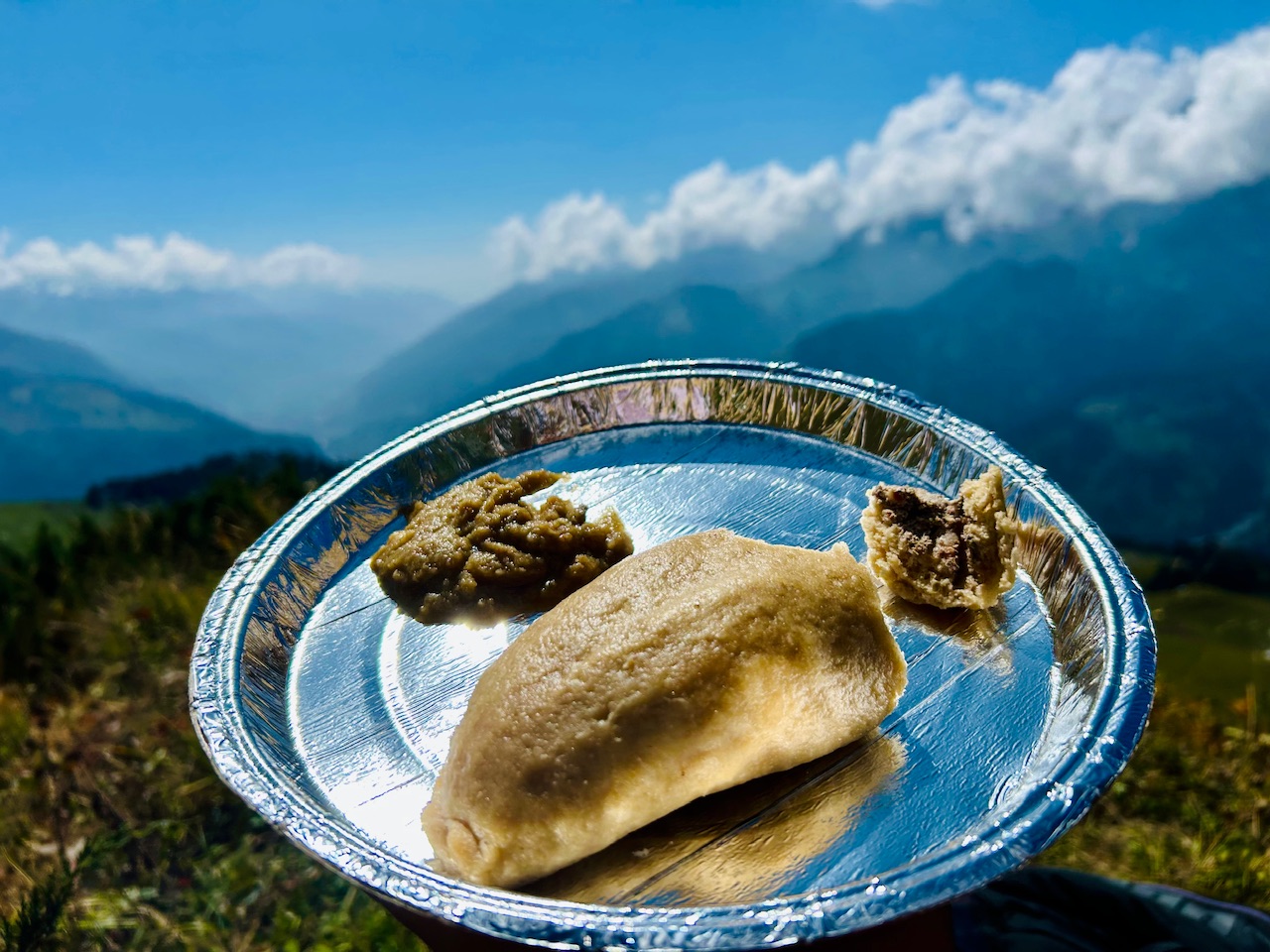
I like Sidhu, very much, but at that very moment, it tasted heavenly. It was the thing that we needed the most, and after the satisfying lunch, we again started walking.
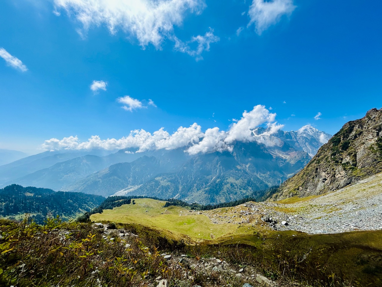
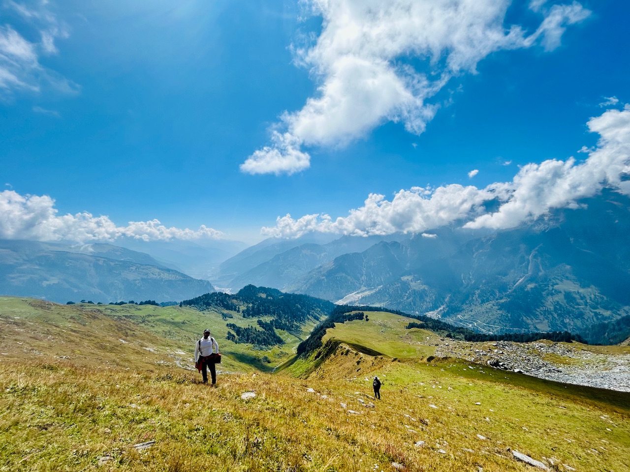
This time we walked quite slow as we were fully stuffed with Siddu. We got enough time to capture some beautiful photographs of each other.
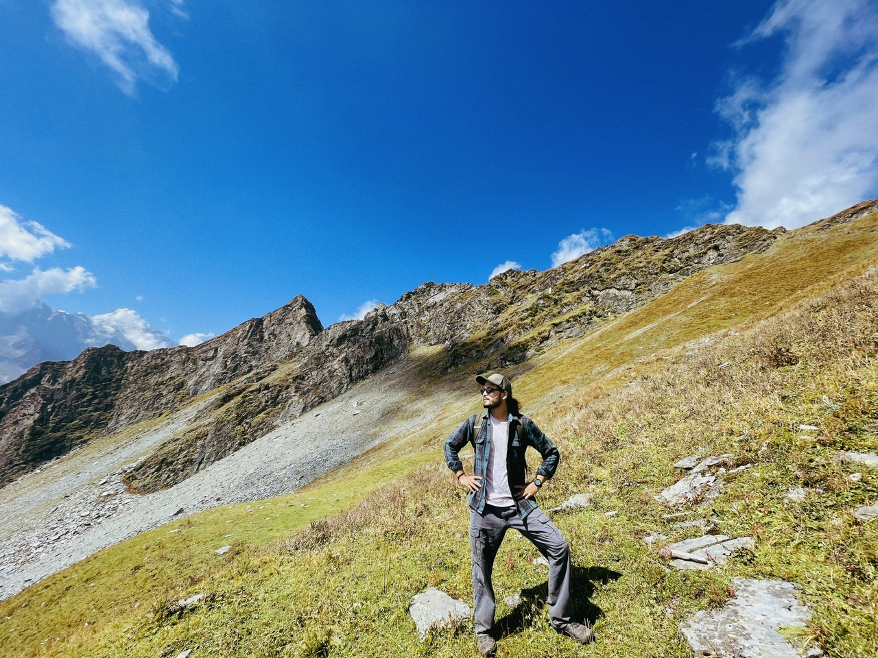
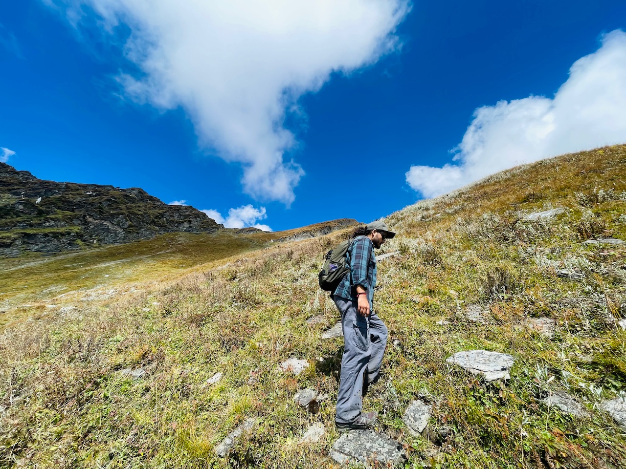
After hiking, for another half an hour, we reached above the ridge. Now the ridge was looking down from us, but we had another 3 to 400 m of elevation that we needed to gain at this particular point. The terrain completely changed. There were no shrubs or no vegetation around us. Now we entered into the territory of loose rocks.
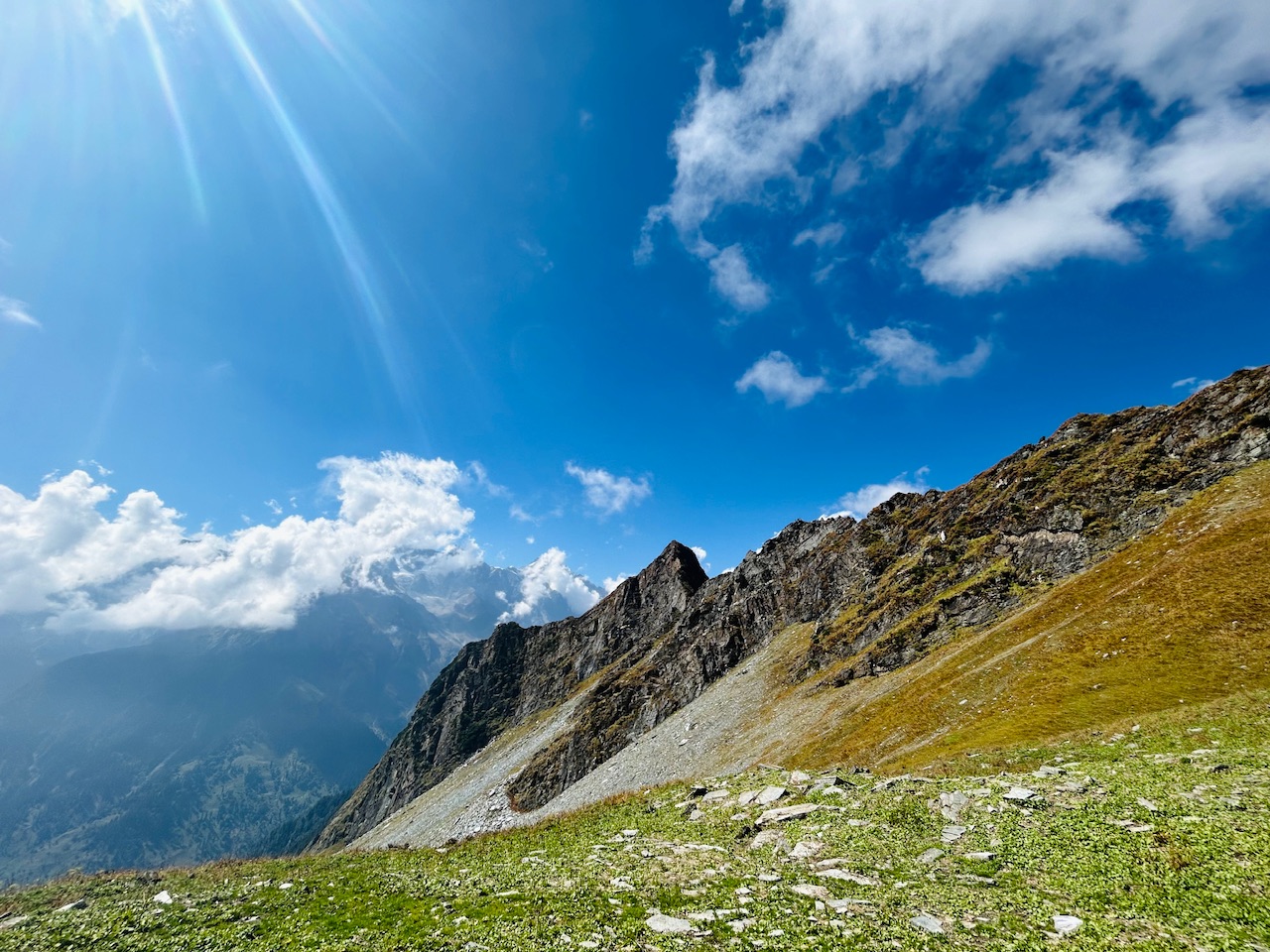
We stopped there for a while to catch our breath and prepared ourselves for the climb above about which I’m gonna write in upcoming blogs.

Congratulations @parvkhuller! You received a bright smile from TravelFeed. Our eyes were beaming while reading your post. 😁
Thanks for using TravelFeed!
@for91days (TravelFeed team)
PS: Did you know that we have our own Hive frontend at TravelFeed.com? For your next travel post, log in to TravelFeed with Hive Keychain or Hivesigner and take advantage of our exclusive features for travel bloggers.
You can check out this post and your own profile on the map. Be part of the Worldmappin Community and join our Discord Channel to get in touch with other travelers, ask questions or just be updated on our latest features.
Congratulations, your post has been added to the TravelFeed Map! 🎉🥳🌴
Did you know you have your own profile map?
And every post has their own map too!
Want to have your post on the map too?
- Go to TravelFeed Map
- Click the create pin button
- Drag the marker to where your post should be. Zoom in if needed or use the search bar (top right).
- Copy and paste the generated code in your post (any Hive frontend)
- Or login with Hive Keychain or Hivesigner and click "create post" to post to Hive directly from TravelFeed
- Congrats, your post is now on the map!
PS: You can import your previous Pinmapple posts to the TravelFeed map.Opt Out