Namaste 🙏
Hope you all doing good!
We were at the Winter Summit of Patalsu peak, we were already tired physically but we had a strong urge to summit the actual summit of this peak so we continued our journey towards the highest and most challenging phase of this trek.
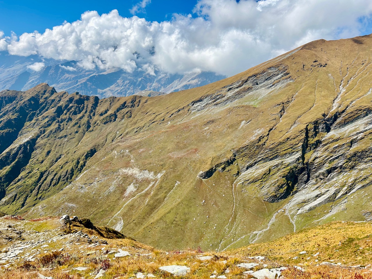
Firstly I thought that I won’t be able to see any vegetation beyond the winter summit as we were now approaching 4000m mark but to my surprise I spotted these beautiful flowers. I thought to myself that anything is possible in this beautiful world!!!
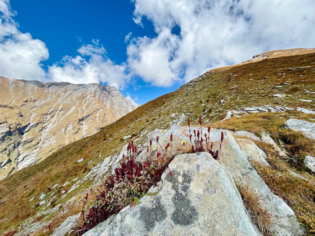
Trail running event preparations (Solang SkyUltra 2024)-
There was a trail running event that was to be held the next day we were trekking. It was called Solang Sky Ultra 2024 and it was to be started from Solang village upto the summit of Patalsu peak and again back to Solang village. It was going to be really hard as I got to know that the previous year’s record was about 2 hours and 30 mins long. It really amazed me as we were now hiking for about 4 hours and we haven’t even reached up. I wondered how it’s possible to climb the peak and get down in two and a half hours!!!
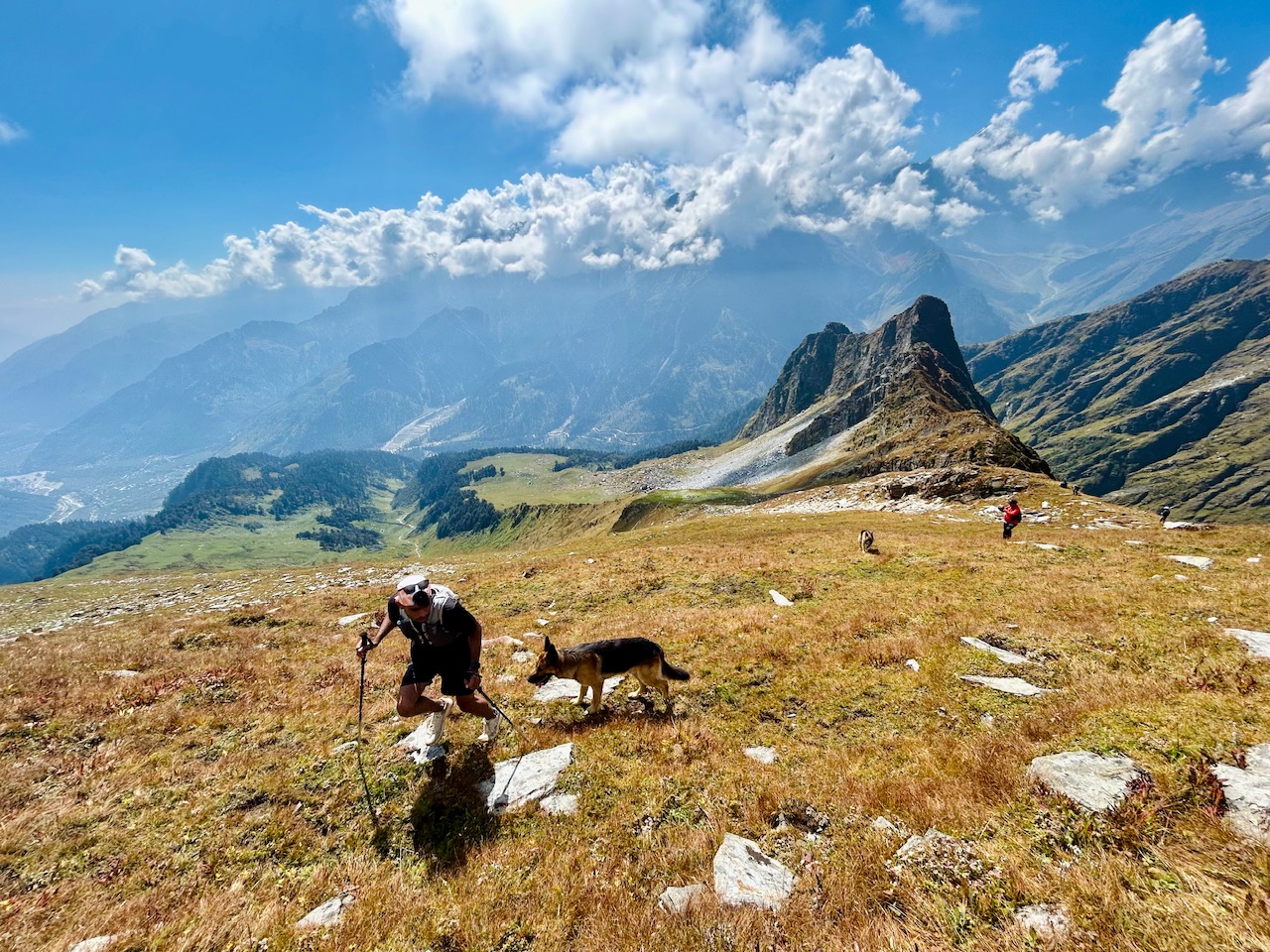
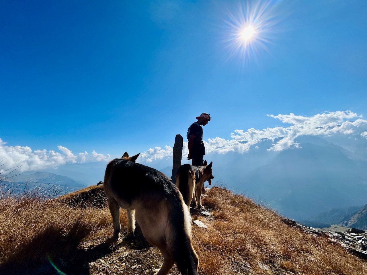
We came across a contestant who was preparing for the trail running event that was to be held tomorrow. He was in peak athletic form with proper gear and two German Shepherds with him.
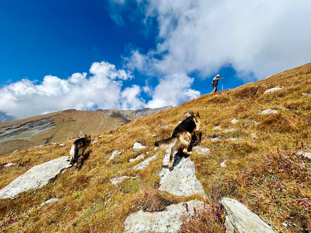
His speed was about five times faster than us. For sometime, I tried to catch up with him but failed miserably. Even the German Shepherds were struggling hard to catch up with him.
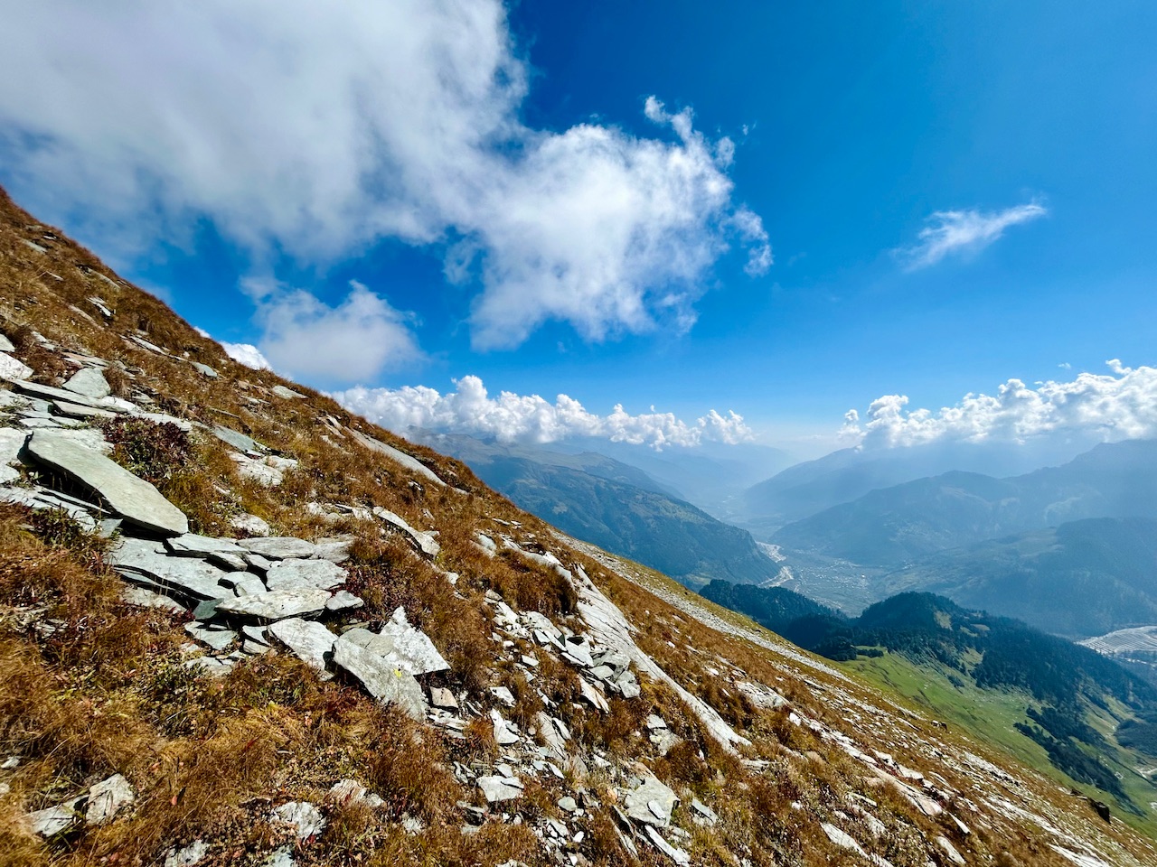
As already mentioned that this final phase was the hardest one, the slope that we needed to climb was near about 45 degrees. It was really a physically demanding climb as we were on quite high altitude as well.
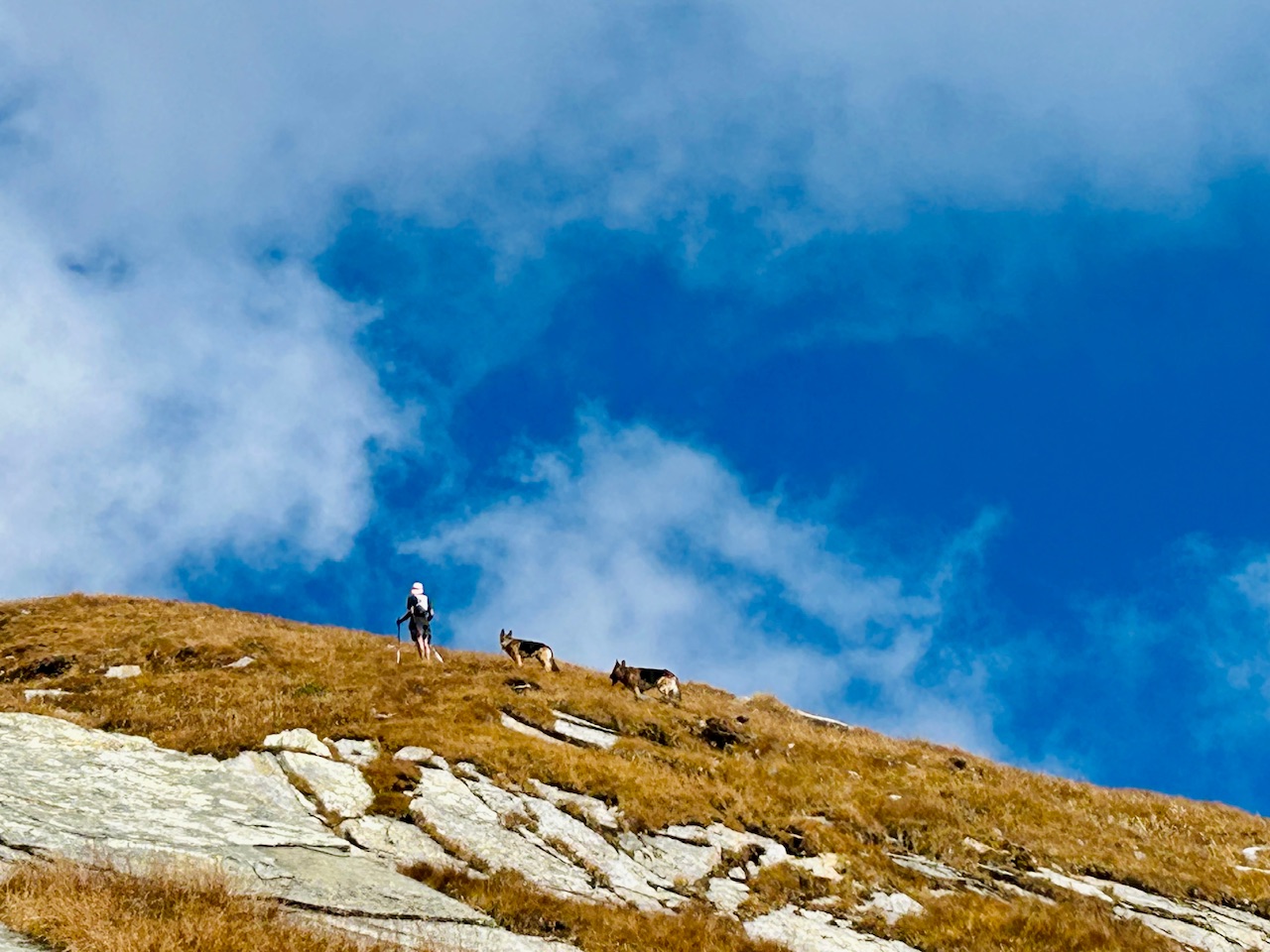
We tried to follow him for a while but failed miserably. He went away from us in a short while but we were totally exhausted.
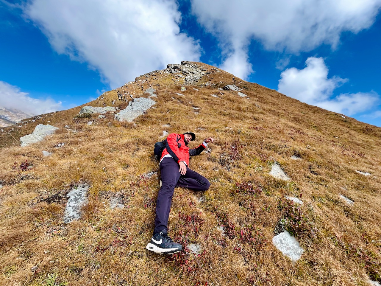
So we laid down there to catch up with our breath again. It was only a few minutes we were down, he was already way ahead of us and he was now looking like a dot with two other dots with him.
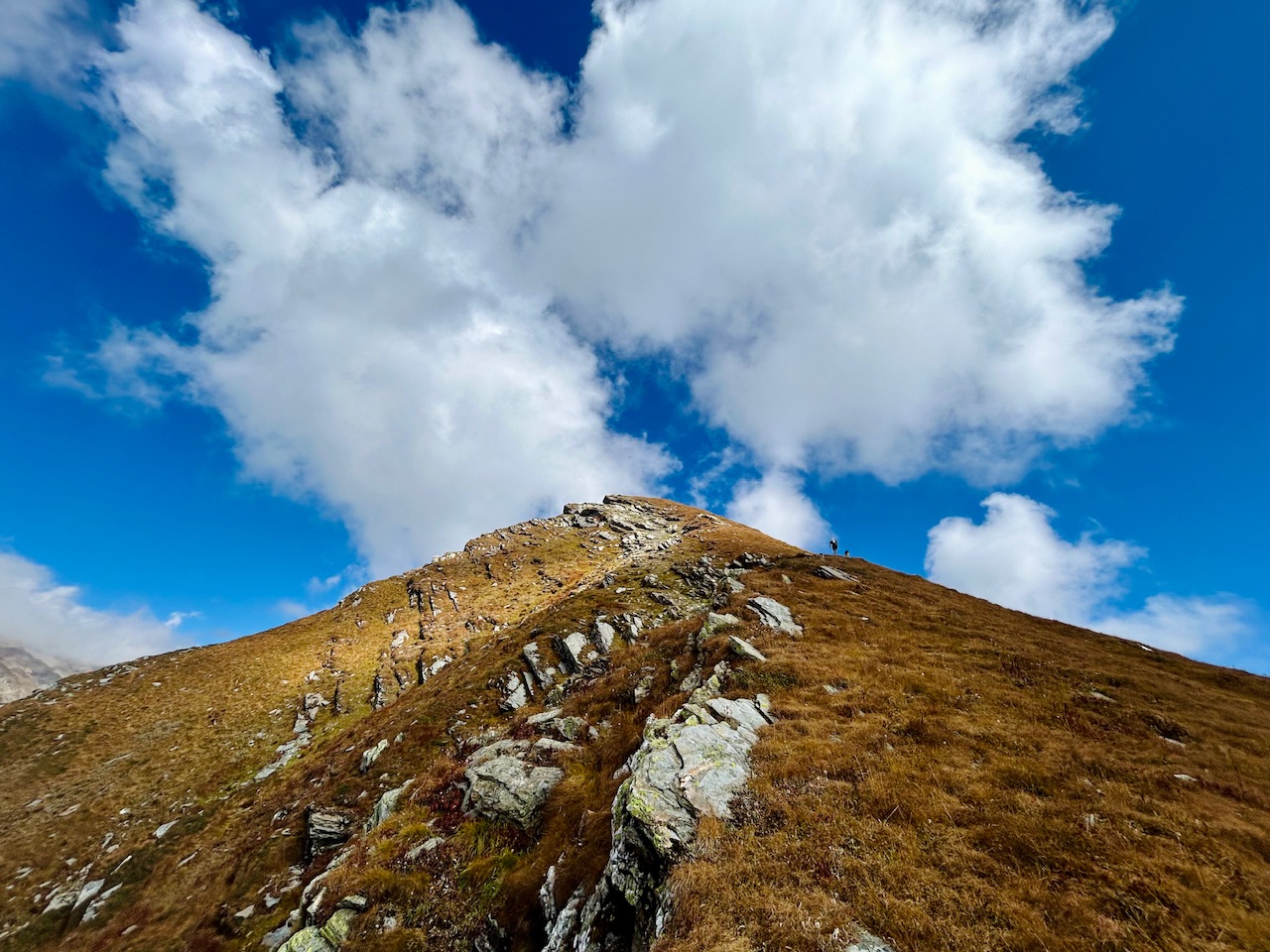
The summit push-
The trail running guy motivated us a lot. We were ready to conquer the summit of Patalsu Peak now.
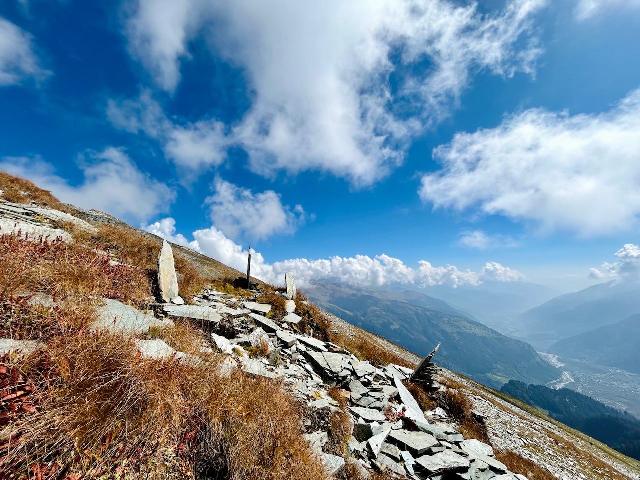
On our way up, we saw some stones that were vertically placed on the mountains. Those served two purposes. First one being their use for navigation and landmarks for showing trekkers the way and the other one was their use as the wishing stones. People make them stand like this or stack them on the top of the mountain and make wishes. It is believed that it comes true as they also serve a good purpose of navigating people and thus people bless the person who placed them.
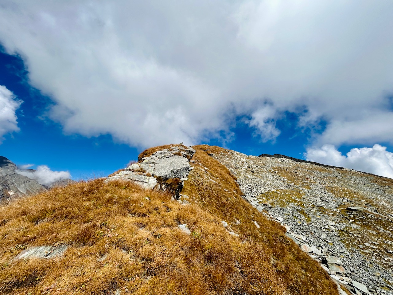
We still had a long way to go! The trail running guy now disappeared. We were again on our own, alone. Although three people can not be alone but we felt alone because we were now the only ones there.
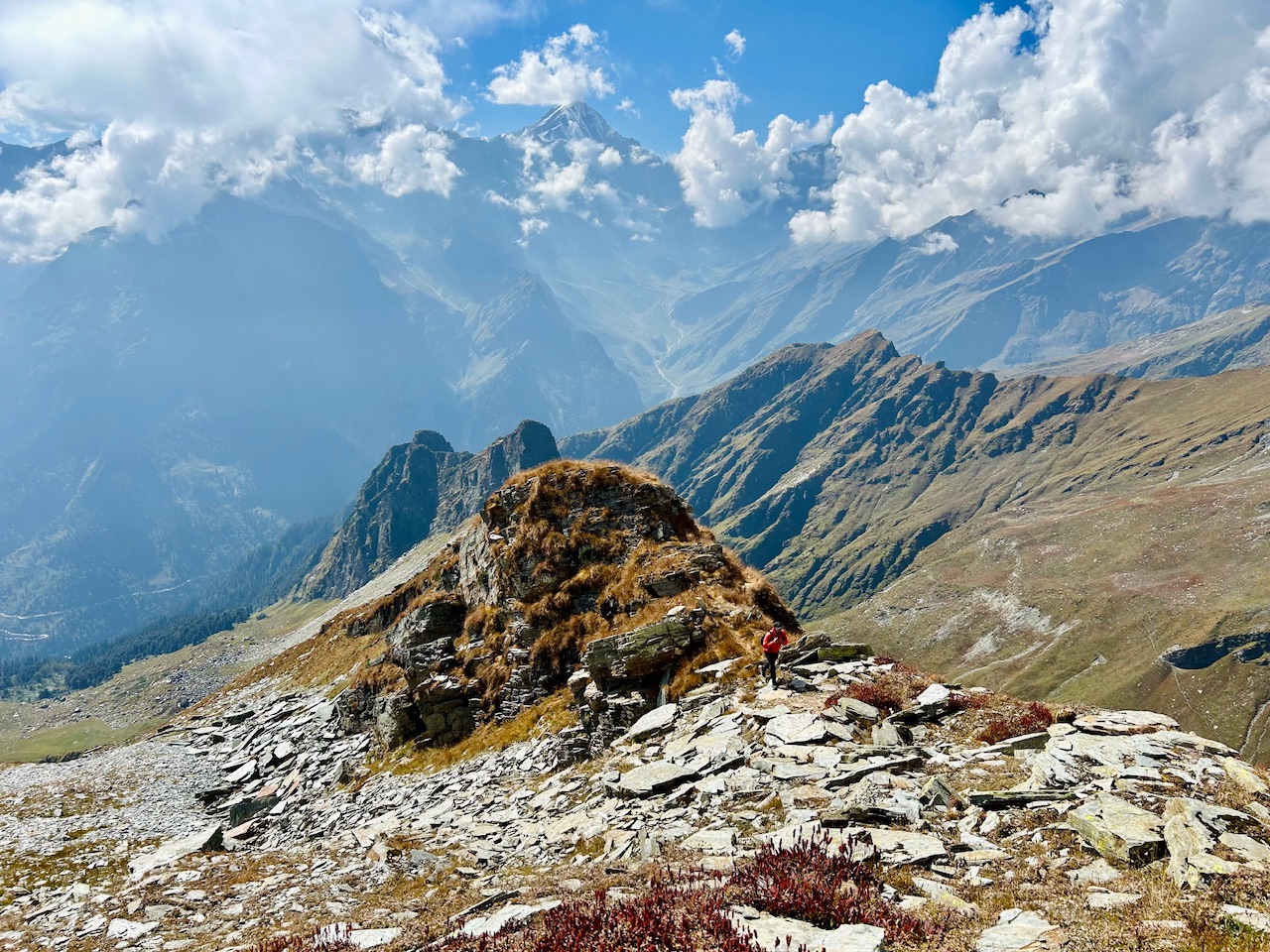
We needed to be very careful here as now the terrain was all rocky. We needed to climb up at about 45 degrees of slope and that too over dangerous rocks.
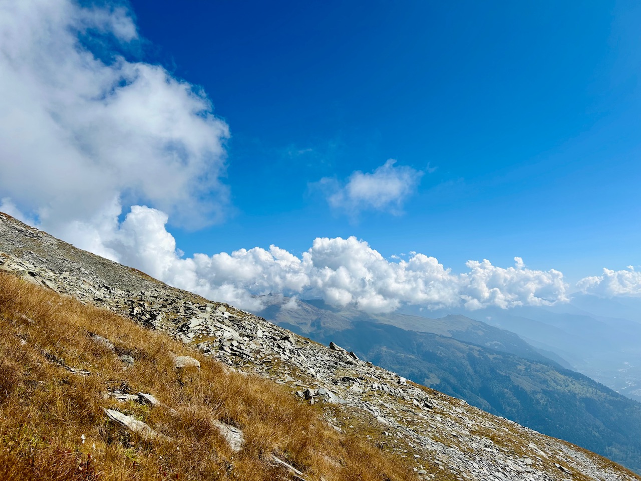
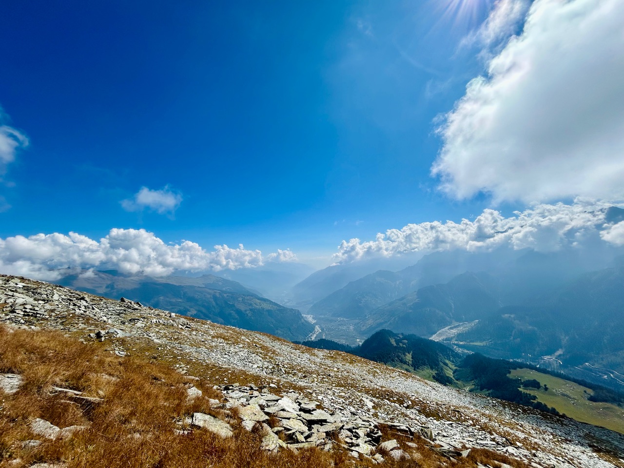
We crossed many such rocket patches successfully until we came across the last patch which we were amazed to see!!! This time it was not a patch but a full blown area of huge loose rocks on the top of the mountain.
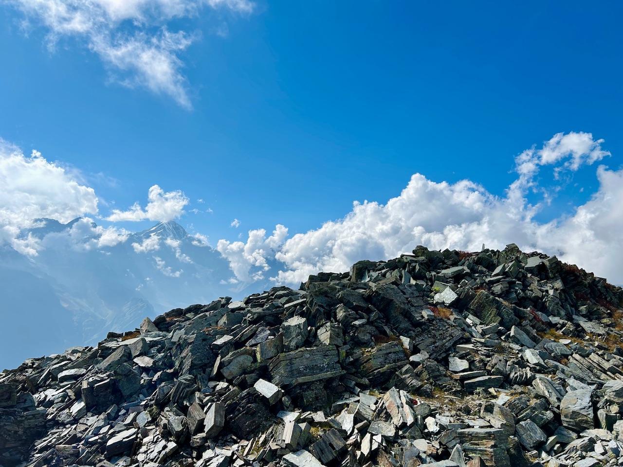
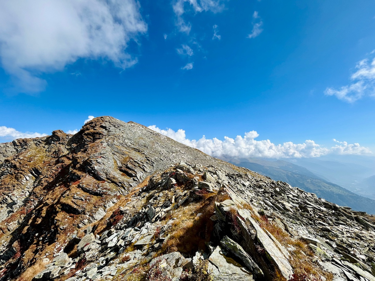
After crossing that dangerous part, we were on top of the ridge that leads to the summit. We were now a few meters away from our destination and we were feeling that last rush of dopamine that we get once we are near the summit of a mountain. We forgot that we were tired and climbing like we just started our trek. We were focused only on reaching the top now and seeing the view from there.
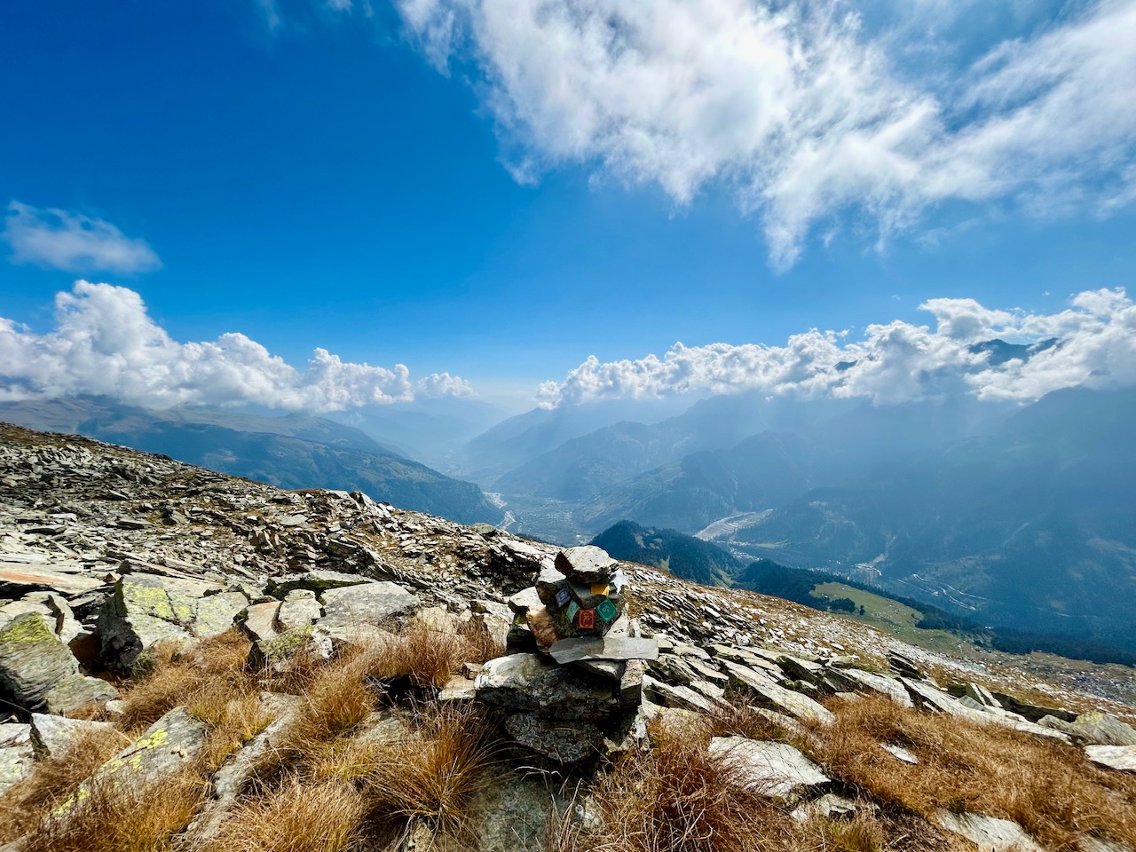
We witnessed another wishing stone on the ridge and this time it was with a Tibetan prayer flag.
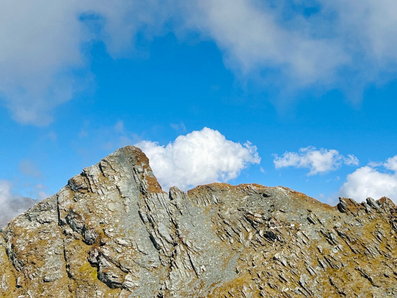
Now we could see the summit clearly. The ridge leaded us to the summit and the way was quite dangerous.
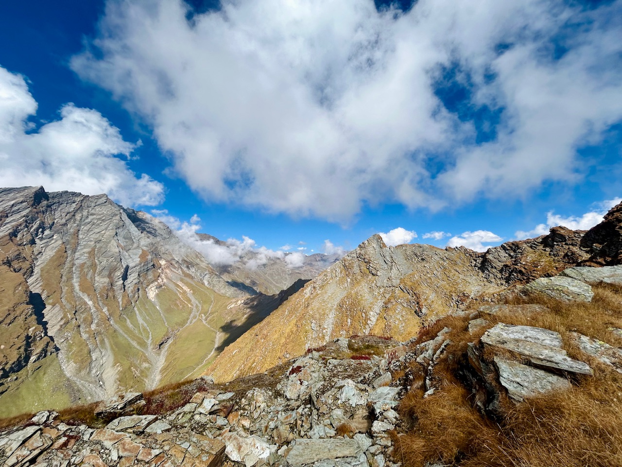
Upon climbing up a bit I looked back once only to realise how high I was. All I saw behind me were rocks that we crossed. I was stunned to see so many rocks behind me.
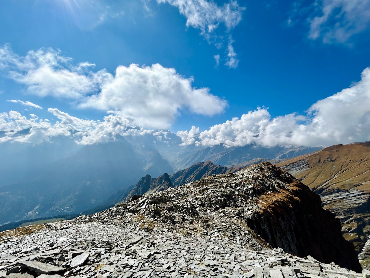
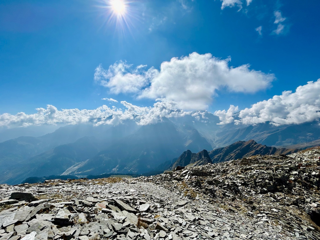
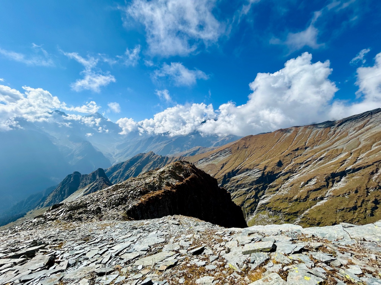
The Summit-
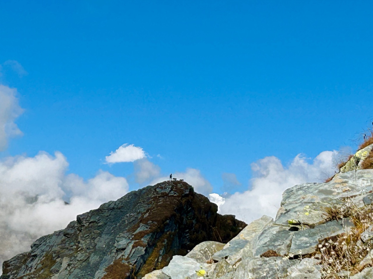
We reached the summit. The highest point was the place where we were at but that trail running guy went upto the end of the ridge with his dogs. I was amazed to see such courage!
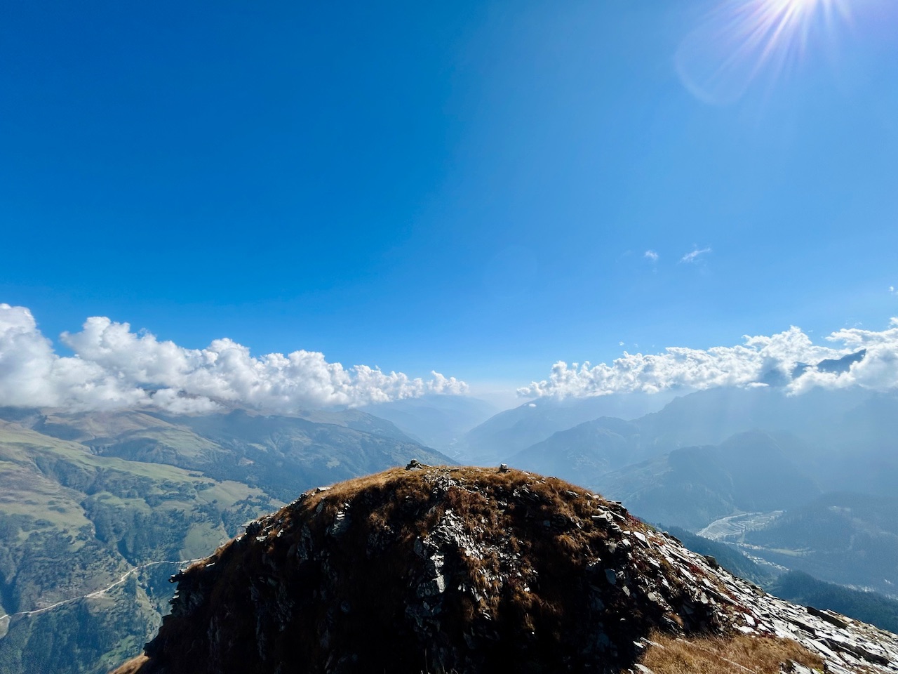
We were literally on the top. We could see a lot from up there. We captured a lot of photos of each other and celebrated our summit climb.
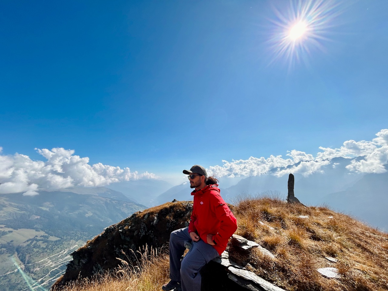
We considered ourselves lucky to summit the actual summit as there was no snow at the time when we planned our journey. If there would have been snow, we wouldn’t be able to summit this mountain as the rocks will be way to much dangerous then.
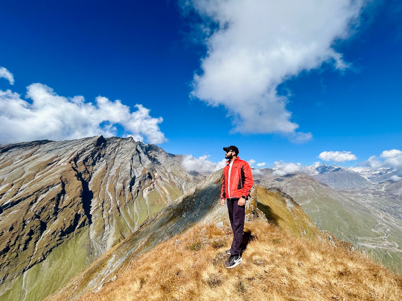
In the photo below, you can see how dangerous it was to cross the ridge till the end but that trail running guy crossed it. You really need to be a daredevil to do such things.
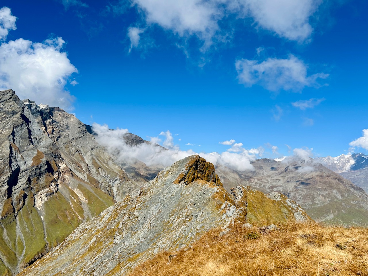
We could also see the starting point of the ridge from where we started our summit push. I realised that we came a long way and also a dangerous way to reach where we were currently standing.
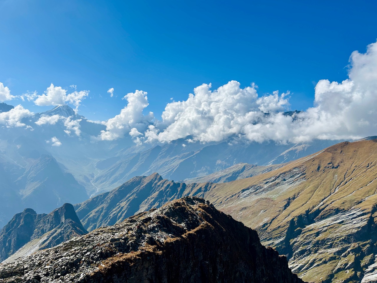
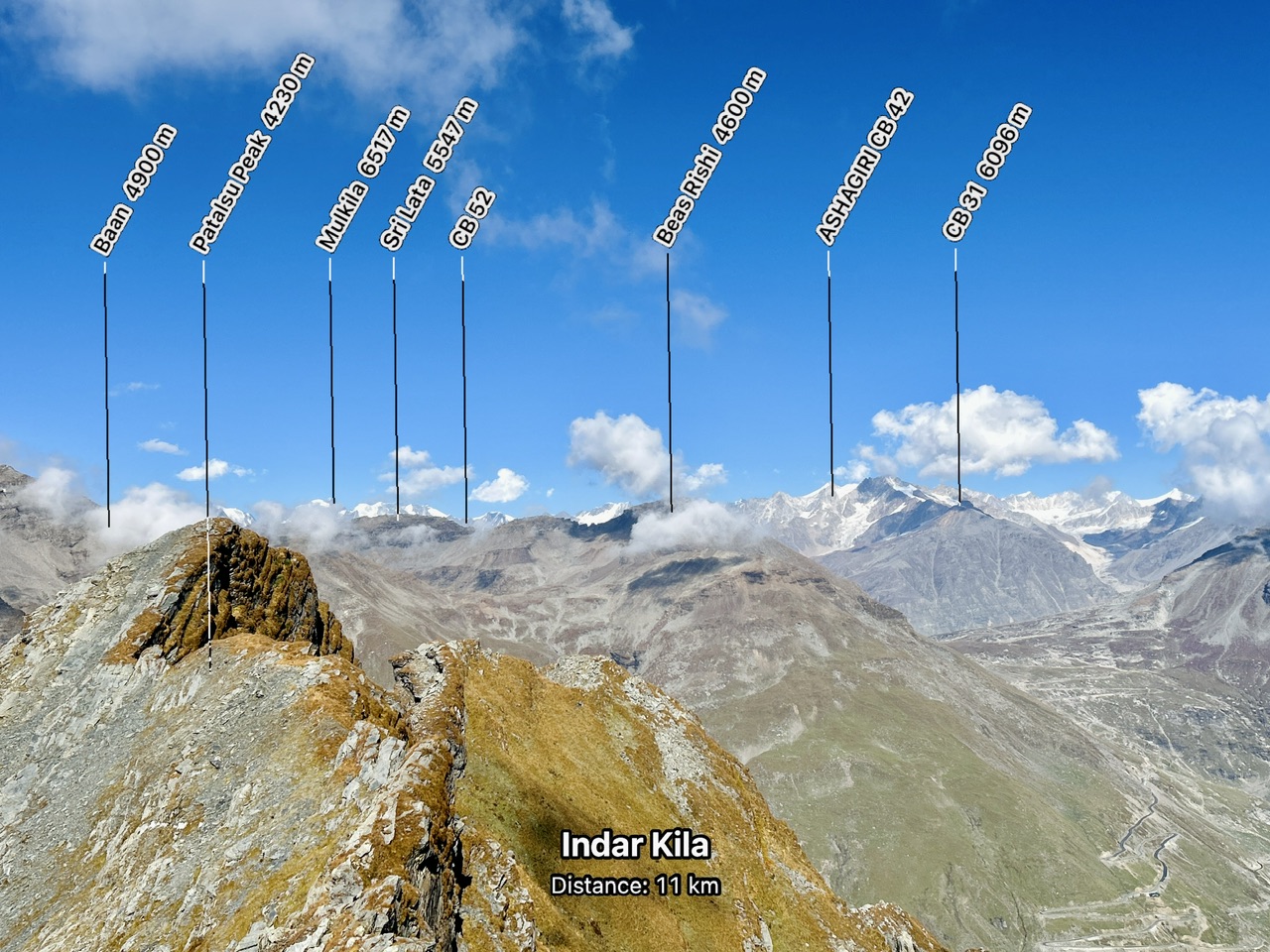
We were mesmerised by the views that we saw from up there. We could see a long array of high altitude peaks along with whole valley on the other side.
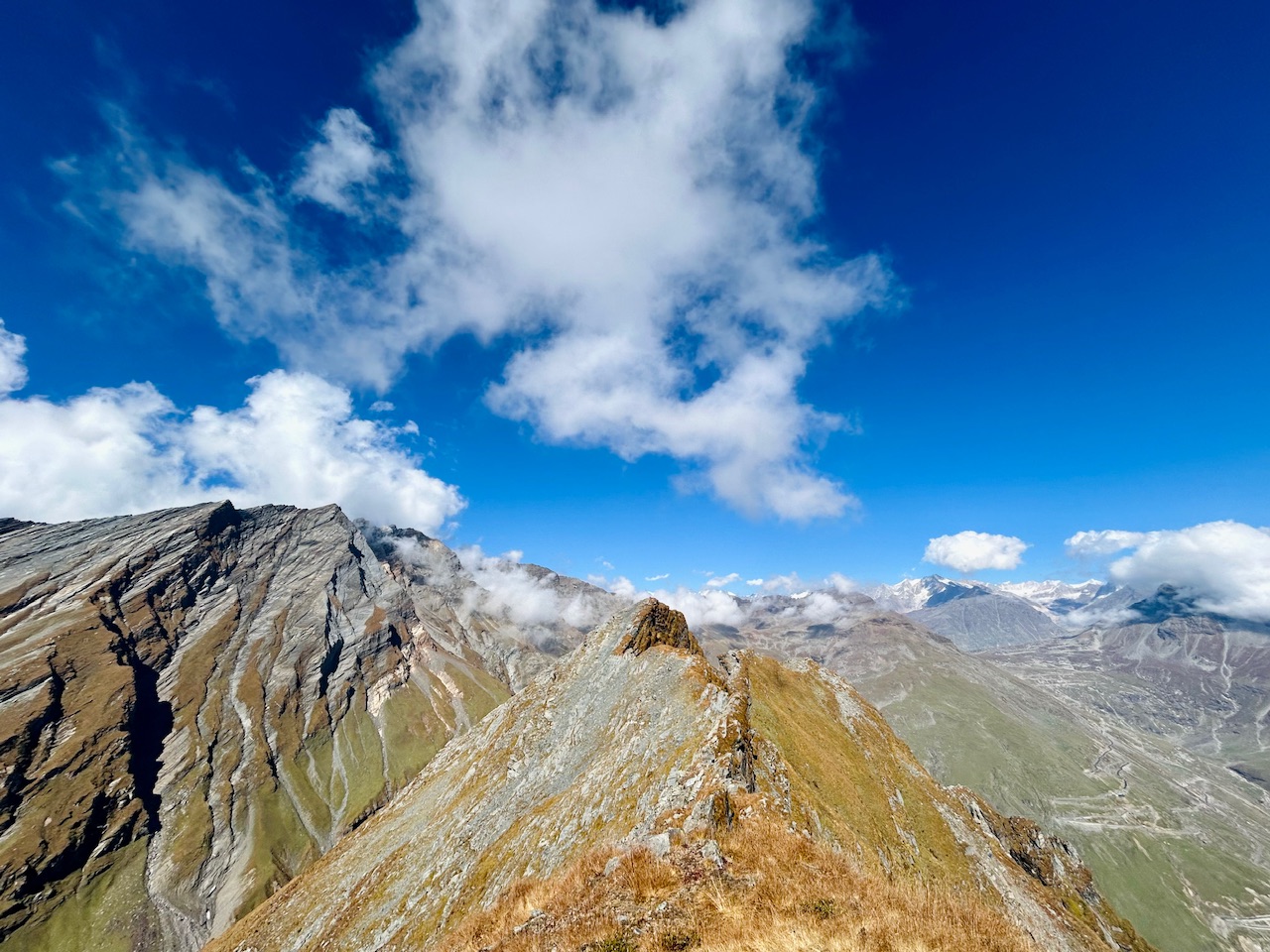
Below is the snapshot from the Alpine Guide app that I have in my phone. This app clearly shows us the peaks in AR kind of setup through our phone’s camera. I really find this app useful and highly recommend this to everyone who wants to know about the peaks around them for free. There are other paid apps like this too like Peak Visor or Peak Viewer but Alpine Guide is the best that’s available for free in ios.
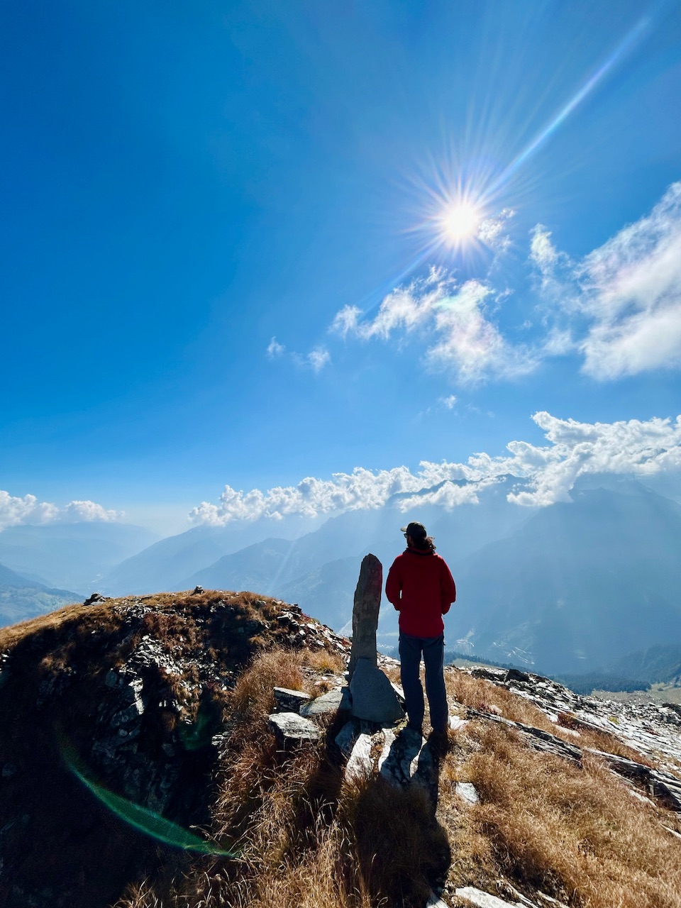
Towards the other side, we could see whole valley upto the end. Photos are not at all paying justice here as with naked eyes the experience was unreal.
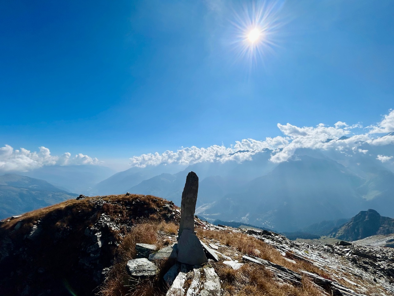
We spent a little time on the summit and by the time, the trail running guy came back from the end of the ridge with his dogs.
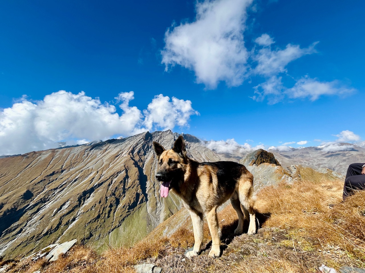
I was really inspired to see him and so I chatted with him for a while. He was in a rush as he needed to get back as soon as possible to secure his chances of winning tomorrow. We wished him luck and petted the dogs before he left.
It was also time for us to leave as we also needed to get down.
That’s all for today.
Thanks for passing by.
Peace ✌️

Hello! Thank you very much for posting in the Worldmappin Community 😃.
We noticed that you included more than one PIN code in the post. This is not necessary and can lead to double pinning. If you are writing about a trip with different points of interest, it is advisable to indicate only one PIN of the most important place or central location.
Double pinning can lead to problems for our curation, so if you keep doing it we can not guarantee you to be considered for our daily Travel Digest.
We recommend that you obtain the code either from https://worldmappin.com/, or by selecting the location directly on the small map at the bottom of the text editor in the PeakD interface.
If you have any questions, please do not hesitate to contact our team on our Discord channel.
Cheers!
I will keep that in mind
Thanks for your help @parvkhuller.
This post has been manually curated by @steemflow from Indiaunited community. Join us on our Discord Server.
Do you know that you can earn a passive income by delegating to @indiaunited. We share more than 100 % of the curation rewards with the delegators in the form of IUC tokens. HP delegators and IUC token holders also get upto 20% additional vote weight.
Here are some handy links for delegations: 100HP, 250HP, 500HP, 1000HP.
100% of the rewards from this comment goes to the curator for their manual curation efforts. Please encourage the curator @steemflow by upvoting this comment and support the community by voting the posts made by @indiaunited.
Thanks a lot 🙏
Hiya, @ybanezkim26 here, just swinging by to let you know that this post made it into our Honorable Mentions in Travel Digest #2370.
Your post has been manually curated by the @worldmappin team. If you like what we're doing, please drop by to check out all the rest of today's great posts and consider supporting other authors like yourself and us so we can keep the project going!
Become part of our travel community:
Thanks, means a lot to me.
Hey @parvkhuller you are welcome.
Thanks for using @worldmappin 😘
Shandar, is baar solang skyultra mein Devendra thakur (from pangi) ne 02:17:19 me kar diya up and down. New course record
Unbelievable!!! Hmareko pura din lga tha or! 😂😂😂
haan bhai, mushkil to hai. 4250 meter challenging to hai hi
Beautiful hike and with all those views, it's really amazing. I'm glad you made it to the end.
And those people who do trail running, oh I really admire them hahaha. This Sunday I ran a road race, only 3 km and my legs are still paying the consequences 😂.
I’m still shocked to know that the new record of trail running event is 2 hours and 17 minutes! We spent all day and still were super tired. Haha.
You can check out this post and your own profile on the map. Be part of the Worldmappin Community and join our Discord Channel to get in touch with other travelers, ask questions or just be updated on our latest features.
Congratulations @parvkhuller! You have completed the following achievement on the Hive blockchain And have been rewarded with New badge(s)
Your next target is to reach 1250 replies.
You can view your badges on your board and compare yourself to others in the Ranking
If you no longer want to receive notifications, reply to this comment with the word
STOPCheck out our last posts:
Congratulations, your post has been added to the TravelFeed Map! 🎉🥳🌴
Did you know you have your own profile map?
And every post has their own map too!
Want to have your post on the map too?
- Go to TravelFeed Map
- Click the create pin button
- Drag the marker to where your post should be. Zoom in if needed or use the search bar (top right).
- Copy and paste the generated code in your post (any Hive frontend)
- Or login with Hive Keychain or Hivesigner and click "create post" to post to Hive directly from TravelFeed
- Congrats, your post is now on the map!
PS: You can import your previous Pinmapple posts to the TravelFeed map.Opt Out
The pics were giving and lit🫡💕.
It’s a nice view even from the pics
I can imagine how wonderful it would be having a real view of it
Yes, the pictures can never justify the views as they are seen from the eyes! Thanks for your kind words.
Congratulations @parvkhuller! You received the biggest smile and some love from TravelFeed! Keep up the amazing blog. 😍
Thanks for using TravelFeed!
@for91days (TravelFeed team)
PS: Did you know that we have our own Hive frontend at TravelFeed.com? For your next travel post, log in to TravelFeed with Hive Keychain or Hivesigner and take advantage of our exclusive features for travel bloggers.