For this walk on the highest peak of Tulln district you will need approximately two hours and fifteen minutes.
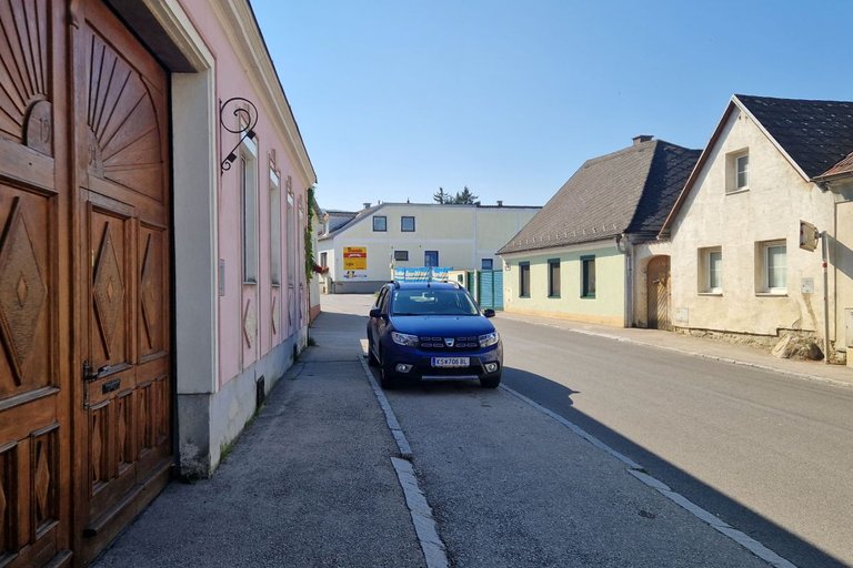
You start this walk in the main street (Hauptstraße) of Tulbing, a community with approximately 3,250 inhabitants located in Tulln District in the center of Lower Austria.
Then you cross the Tulbinger Bach and walk upwards alongside this stream.
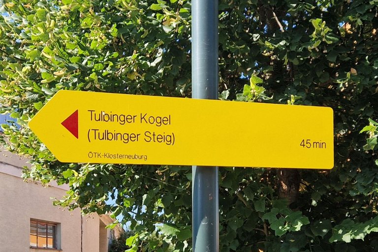
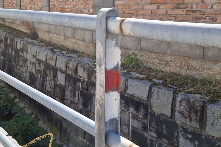
For the walk to the peak I used the Tulbinger Steig. There are signposts, but not consistent. The white-red-white markings will provide better orientation.
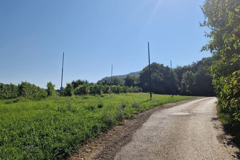
You pass vineyards called "In Ziersetzen".
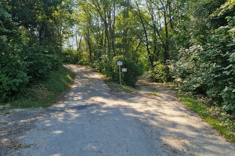
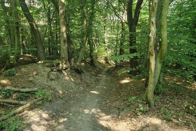
Then you enter the wood.
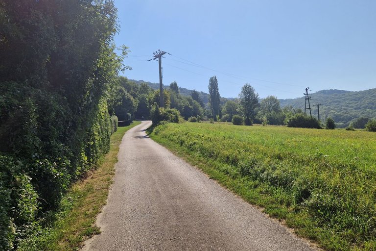
Then you leave the wood again and walk alongside fields.
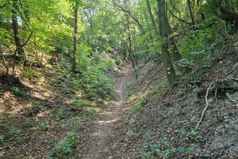
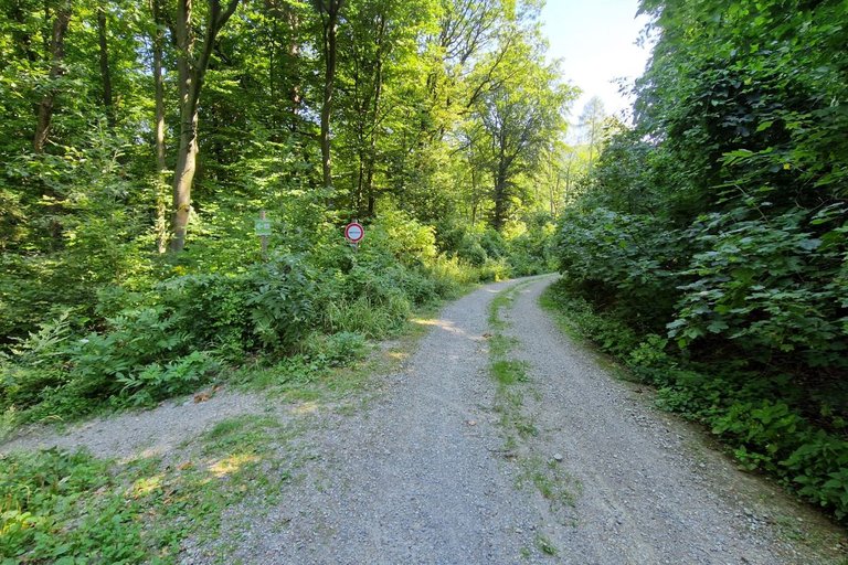
Then you come to the wood again and walk up a steep path called "Tulbinger Steig".
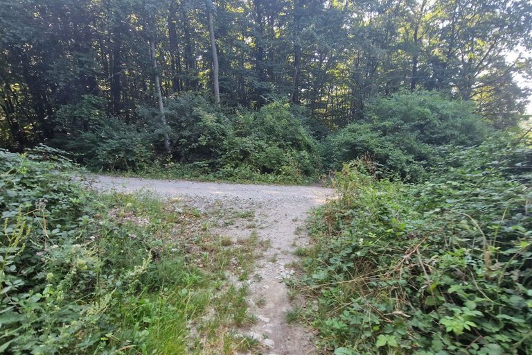
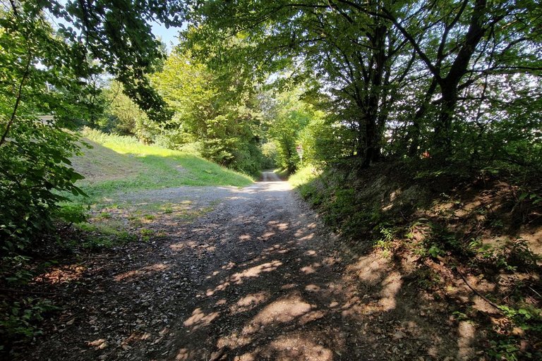
The Tulbinger Steig crosses a forestry road.
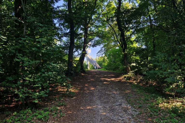
Finally you will reach the peak on 494 meters above sea level.
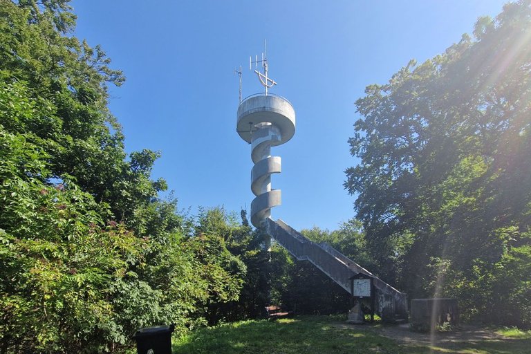
On the peak, the Leopold-Figl-Warte is located. This lookout tower is named after Leopold Figl, the first Austrian Chancellor after World War II.
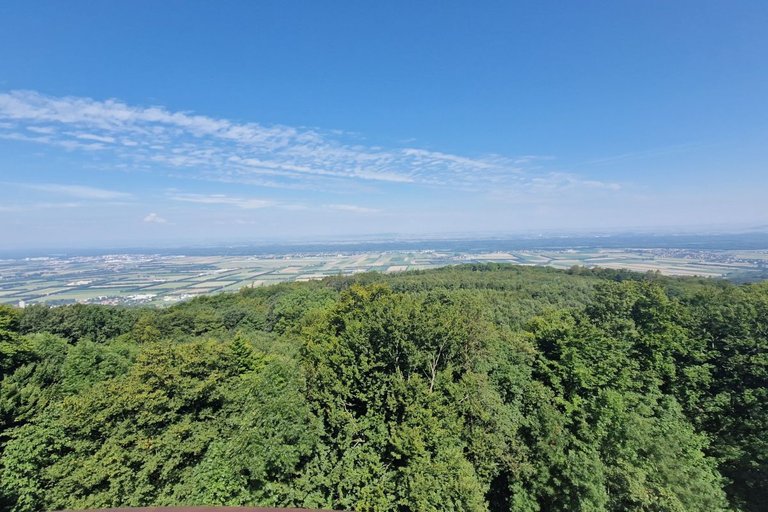
From the tower you have a wonderful view over the "Tullnerfeld", the plain area around Tulln.
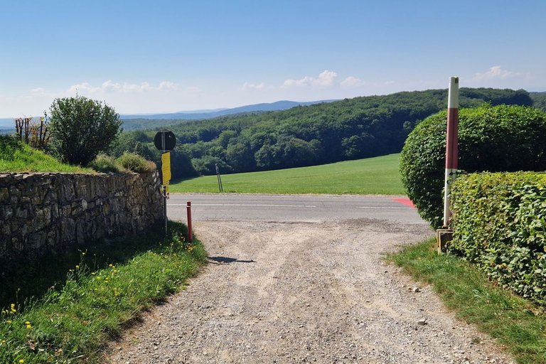
Then you walk to the BERGHOTEL tulbingerKOGEL, a fine restaurant and reach a paved road.
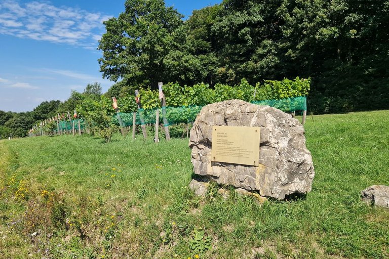
On the right side you can see the international vineyard Domaine des Sommelliers. In 1998 the world championship of sommelliers took place at the restaurant. Sommelliers of 30 countries brought vines to this event. The vines were planted here. The grapes of these vines are vinified. This very special wine is not for sale, but you can taste it in the restaurant.
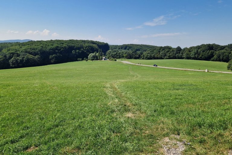
You can then take an abbreviation over the grassland (and later through the woodland) or walk alongside the road.
Then you leave the street and continue walking on a small path through the wood. You are now near the (unmarked) peak of the "Herrenberg", 428 m above sea level.
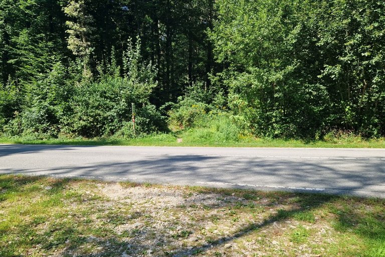
The path leads to a gravel road called "Herrenbergstraße" in that you have to turn right.
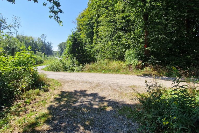
You walk down this road for some time. Then you have to turn left on a mountain bike track.
The trail is nice to walk, but you have to be careful so that you can take a step on the side when mountain bikers want to ride downhill.
The mountain bike trail leads to the village where you continue walking down straight ahead in the "Kirchengasse".
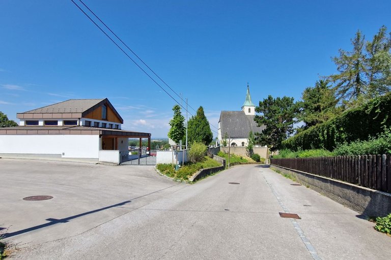
This road leads to the gothic curch Saint Mauritius
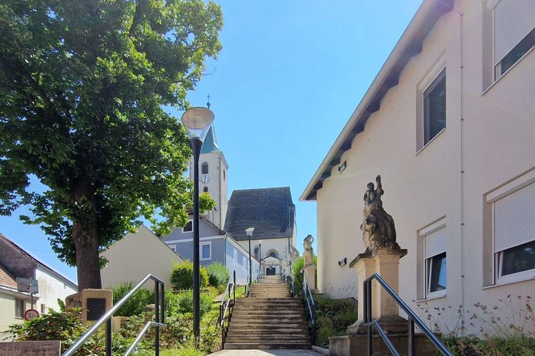
Alongside the stairway up to the church you can see five baroque statues.
After visiting the church you continue walking down the Kirchengasse. Soon you will reach the main street and turn right into it to come to your starting point again.
GPS data can be downloaded here
the place has a very beautiful green view, I was so amazed to see it
Thank you!
Congratulations @schmatz! You received the biggest smile and some love from TravelFeed! Keep up the amazing blog. 😍 Your post was also chosen as top pick of the day and is now featured on the TravelFeed front page.
Thanks for using TravelFeed!
@for91days (TravelFeed team)
PS: You can now read your favourite travel blogs on your phone. Plus, blogging on-the-go just got easier! Download our app on the Apple App Store or get it on Google Play.
Congratulations, your post has been added to Pinmapple! 🎉🥳🍍
Did you know you have your own profile map?
And every post has their own map too!
Want to have your post on the map too?