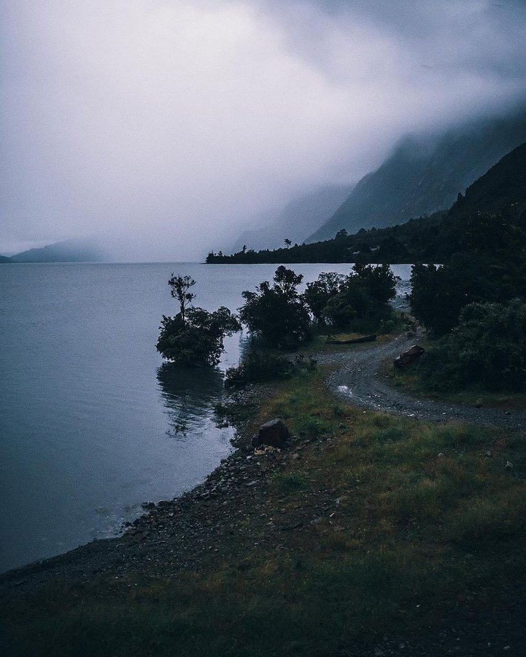
LAGO TAGUA TAGUA
English
The Tagua Tagua private park is located 170 km east of Puerto Montt, an area of more than 3,000 hectares concessioned by the State of Chile to the Universidad Mayor for biodiversity conservation and scientific research.
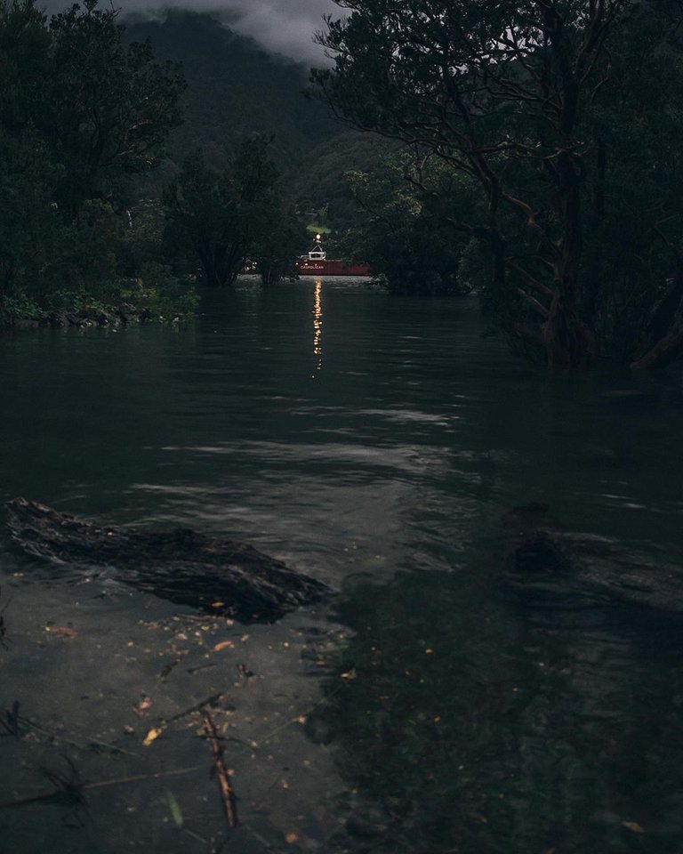
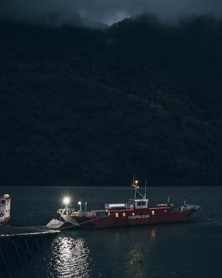
To reach this spectacular place it is necessary to: Arrive in Puerto Varas and then head east along the Seno de Reloncaví, passing through Ralún, Cochamó and Puelo until you reach Tagua Tagua Lake or you can also approach from Puerto Montt by the southern highway crossing the barge of Caleta La Arena and then go directly to Puelo, until you reach Tagua Tagua Lake.
The lake was discovered in the 1860s by "hacheros" from Huar Island, who began to enter the valley in search of larch and other species for extraction. Its name is due to the abundance of taguas - aquatic birds that inhabit lakes and lagoons - and was so named by the inhabitants of the island who accompanied the explorer Francisco Vidal Gormaz - "huarunos" as he called them - on his 1872 expedition to the valley, following a suggestion made by Vidal Gormaz himself.
According to the 1930 census, the valley was already inhabited, with population in sectors such as Las Gualas, Llanada Grande, Lago Azul, Lago Las Rocas and Lago Inferior. Lake Tagua Tagua, meanwhile, had a population of twelve.3
Along with the rest of the valley, the lake only had land connectivity with the rest of the commune at the beginning of the 21st century, with the definitive inauguration in 2003 of the section to Llanada Grande of the Río Puelo-Paso El Bolsón road.
Español
A 170 km al oriente de Puerto Montt se encuentra el parque privado Tagua Tagua, área de más de 3.000 hectáreas concesionadas por el Estado de Chile a la Universidad Mayor, por fines de conservación de la biodiversidad e investigación científica.
Para llegar a este espectacular lugar es necesario: Llegar a Puerto Varas y luego dirigirse hacia el oriente bordeando el Seno de Reloncaví, pasando por Ralún, Cochamó y Puelo hasta llegar al Lago Tagua Tagua o también se puede aproximar desde Puerto Montt por la carretera austral cruzando la barcaza de Caleta La Arena y luego dirigirse directo a Puelo, hasta llegar al Lago Tagua Tagua.
El lago fue descubierto en la década de 1860 por «hacheros» de isla Huar, quienes empezaron a internarse al valle en busca de alerce y otras especies para su extracción. Su nombre se debe a la abundancia de taguas —ave acuática que habita en lagos y lagunas— y fue bautizado de esa manera por los habitantes de la isla que acompañaron al explorador Francisco Vidal Gormaz —«huarunos» como él los llama— en su expedición de 1872 al valle, tras una sugerencia hecha por el propio Vidal Gormaz.
Según el censo de 1930, el valle ya se encontraba habitado, con población en sectores como Las Gualas, Llanada Grande, lago Azul, lago Las Rocas y lago Inferior. El lago Tagua Tagua, en tanto, tenía una población de doce habitantes.3
Junto con el resto del valle, el lago recién tuvo conectividad terrestre con el resto de la comuna a comienzos del siglo xxi, con la inauguración definitiva en 2003 del tramo hasta Llanada Grande de la ruta Río Puelo-Paso El Bolsón.