Hello friends.
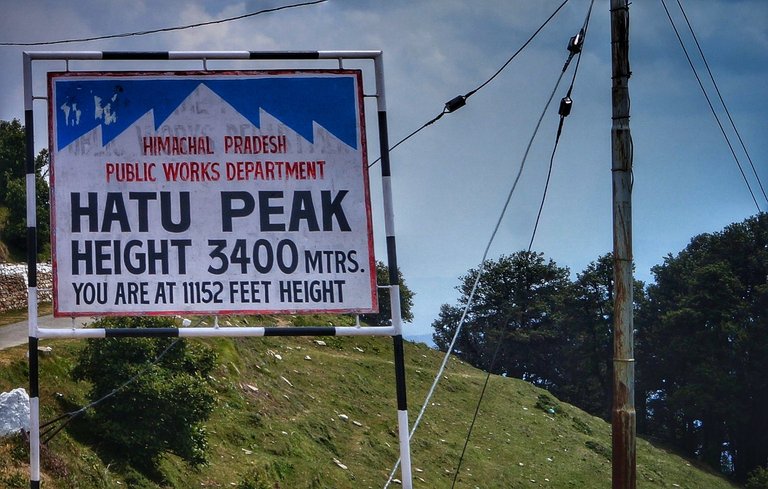
On 10-06-24 I went to Hatu Peak. It is the highest peak near my home.
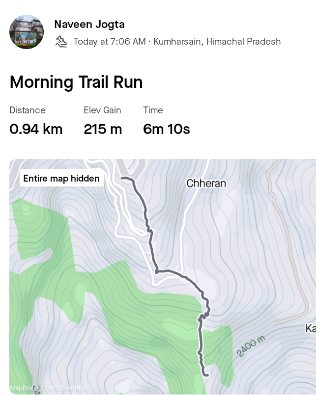
Like Instagram, Facebook and Hive, I am also addicted to Strava app. I am active on Strava app every day. I do one activity of the day on Strava every day. In which I walk about one kilometer in which the height increases by 200 meters. I am sharing the link of Strava with all of you, you can follow me on Strava.
https://strava.app.link/gAKEG5RpmKb
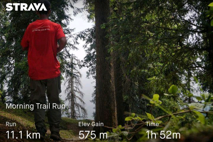
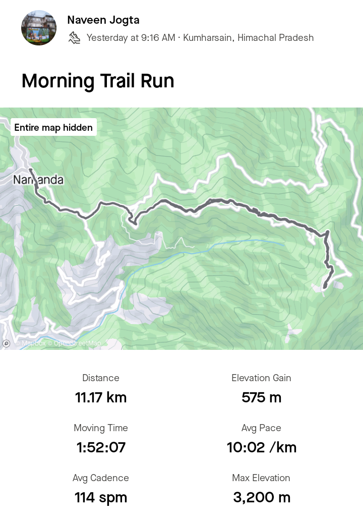
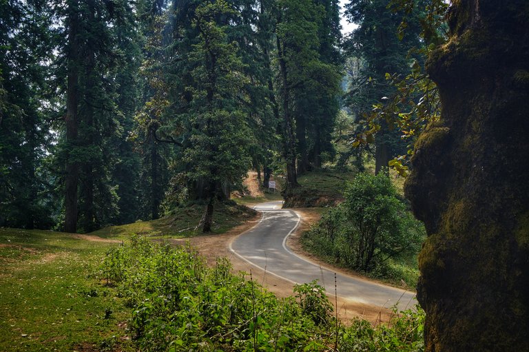
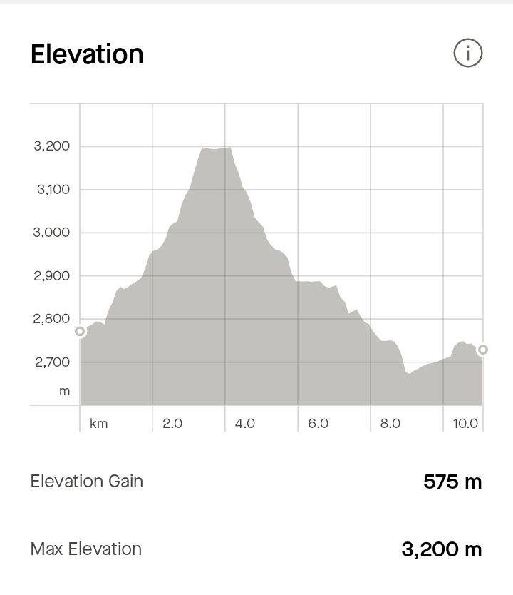
I started walking for Hatu Peak from Narkanda in the morning. The distance of Hatu Peak from the taxi road is seven kilometers. While it is five kilometers from the footpath. In which the height increases by about 575 meters. Hatu Peak is at an altitude of about 3200 meters above sea level.
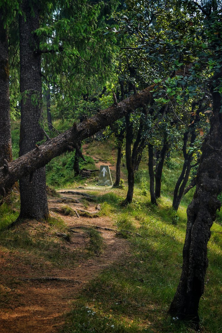

This route passes through dense pine forests which turn into grasslands as soon as we reach the peak. There are arrow marks on the way to Hatu Peak. These white marks help us to reach Hatu Peak easily. I am sharing the link to this activity below. Follow me on Strava. I use the Strava app on a Nokia 2.3 Android phone.
https://strava.app.link/WhhO3a2pmKb
Disclaimer: This post is originally written in Hindi by me and I have taken the help of Google Translate to translate it into English.