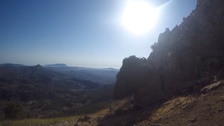
After crossing "el Forat" ("the Hole", a narrow tunnel through which you have to crawl, which connects the northern and southern slopes of the Sierra de Bernia), I am chatting and explaining some data about the history and formation of this mountain range.
It's interesting to know that when doing this hiking route (PR-CV 7 of Sierra de Bernia) you are walking on land that was under the sea for millions of years; specifically, you walk on part of the seabed of the Tethys ocean when, back in the Mesozoic era, dinosaurs populated the earth (and the seas).
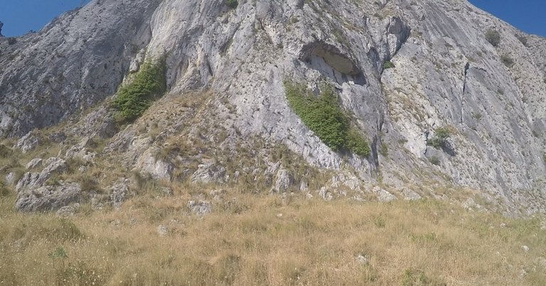
It's known that these limestone mountains that you see in the video and that make up the Sierra de Bernia mountain range (maximum height of 1,100 meters) were formed in the alpine folding of the Miocene (Cenozoic), and are full of fossil skeletons of animals that inhabited the Tethys Sea more than 20 million years ago.
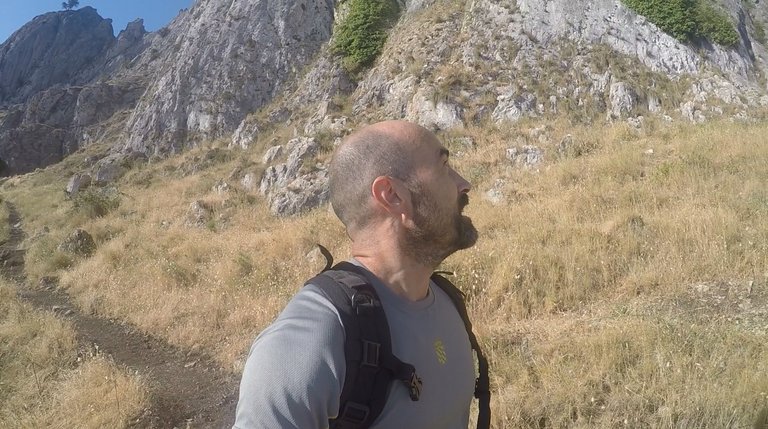
As an interesting fact, the Sierra de Bernia is the closest vertical kilometer to the sea in the entire Iberian Peninsula.
Sharing with you now some YouTube Shorts from the beginning of the hiking route.
My starting point, close to a parking lot:
Admiring this rocky ground (limestone screes):
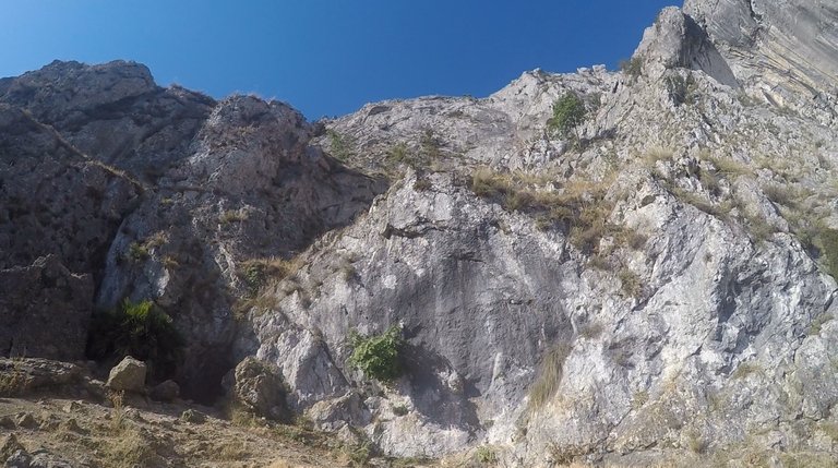
When arrived to "the Hole":
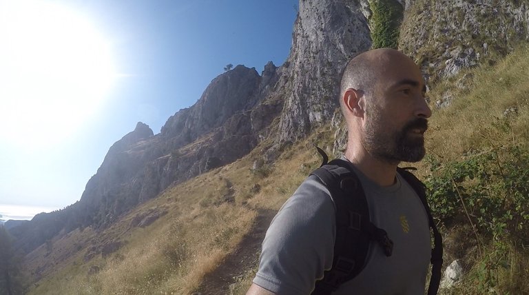
Northern slope, after crossing "the Hole":
(Audio of the video in Spanish).
Video recorded with a GoPro Hero 8.
Photographs are screenshots taken from my videos.
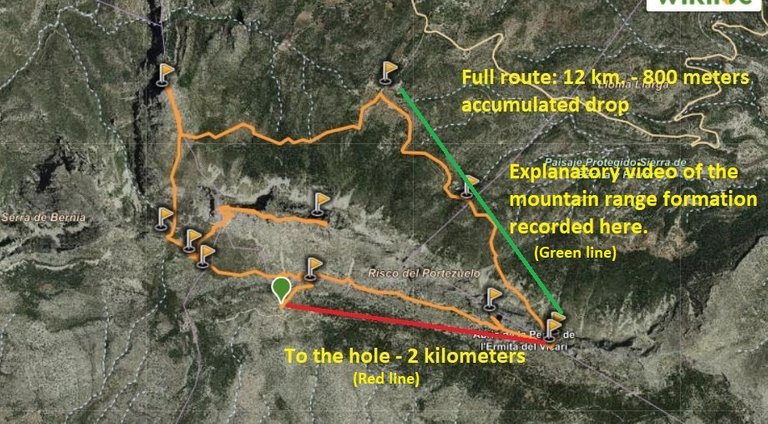
Screenshot of the route taken from Wikiloc.
Sources on which I relied to give some accurate info about the mountain range formation and the Miocene: (1), (2)
Congratulations, your post has been added to Pinmapple! 🎉🥳🍍
Did you know you have your own profile map?
And every post has their own map too!
Want to have your post on the map too?
I would love to make two-way radioamateur contacts from there. Probably the band noise is very low up there. And the propagation is very good there. This latter also depends on the nearby objects. For example I read that if there is a volcanic mountains nearby, the the propagation is very good on the 40 m (7 MHz) band in the evenings. The volcanic mountain acts as some kind of reflector. I do not know. I have not experienced this so far. I read this from someone a few years ago.
Definitely, with a HF radio from there, you'd be able to reach to half the globe, at least! 🙂
Hiya, @LivingUKTaiwan here, just swinging by to let you know that this post made it into our Honorable Mentions in Daily Travel Digest #1746.
Your post has been manually curated by the @pinmapple team. If you like what we're doing, please drop by to check out all the rest of today's great posts and consider supporting other authors like yourself and us so we can keep the project going!
Become part of our travel community:
🙌🙌🙌🙌🙌🙌🙌🙌🙌🙌🙌🙌
Congratulations @dresden.theone! You received the biggest smile and some love from TravelFeed! Keep up the amazing blog. 😍 Your post was also chosen as top pick of the day and is now featured on the TravelFeed.io front page.
Thanks for using TravelFeed!
@lesiopm (TravelFeed team)
PS: Have you joined our Discord yet? This is where over 1000 members of the TravelFeed come together to chat. Join us!
🙌🙌🙌🙌🙌🙌🙌🙌🙌🙌🙌🙌