The city of Caracas is the capital of the Bolivarian Republic of Venezuela.
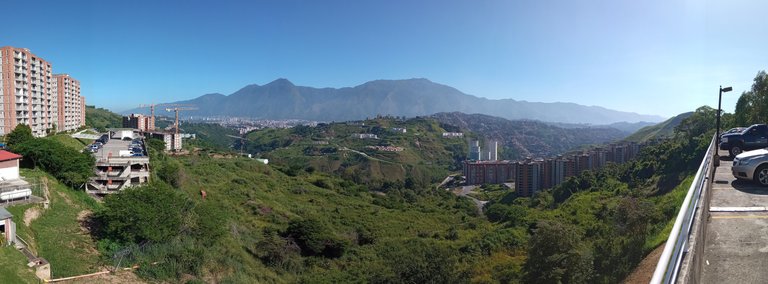
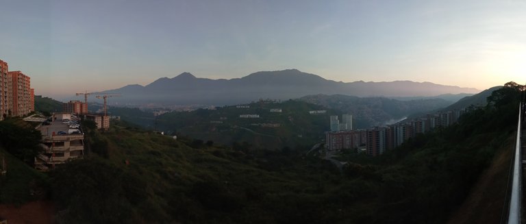
These photos were taken at the following location 10.442614, -66.796303 (N10° 26' 33.41" W66° 47' 46.69"), looking from the South-East towards the North-West of the city, and at an altitude slightly above 1000masl.
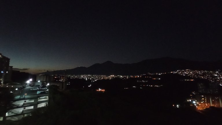
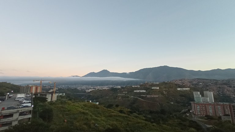
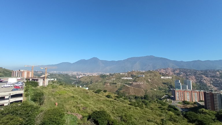
The different colors are striking depending on the time of day the photo was taken.
In all of them you can see the south face of the imposing Avila Hill (Waraira Repano National Park).
[ES]
La ciudad de Caracas es la capital de la República Bolivariana de Venezuela.
Estas fotos fueron tomadas en la siguiente ubicación 10.442614, -66.796303 (N10° 26' 33.41" O66° 47' 46.69"), mirando desde el Sur-Este hacia el Nor-Oeste de la ciudad, y a una altura levemente superior a los 1000msnm.
Llama mucho la atención los distintos colores dependiendo de la hora en la que se haya tomado la foto.
En todas se logra apreciar la cara sur del imponente cerro Ávila (Parque Nacional Waraira Repano).
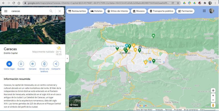
These photos were taken with the camera on my Xiaomi Redmi 9 Global phone; and the image of the map of Caracas was obtained thanks to Google Maps.
[ES] Estas fotos fueron tomadas con la cámara en mi teléfono Xiaomi Redmi 9 Global; y la imagen del mapa de Caracas fue obtenida gracias a Google Maps.