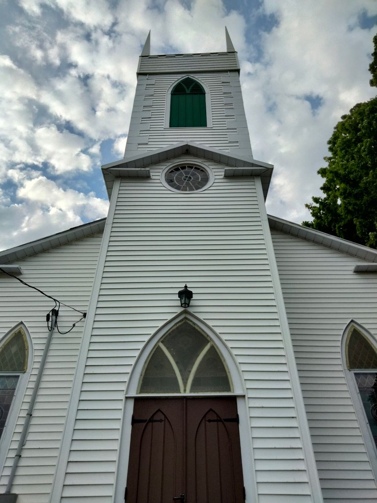
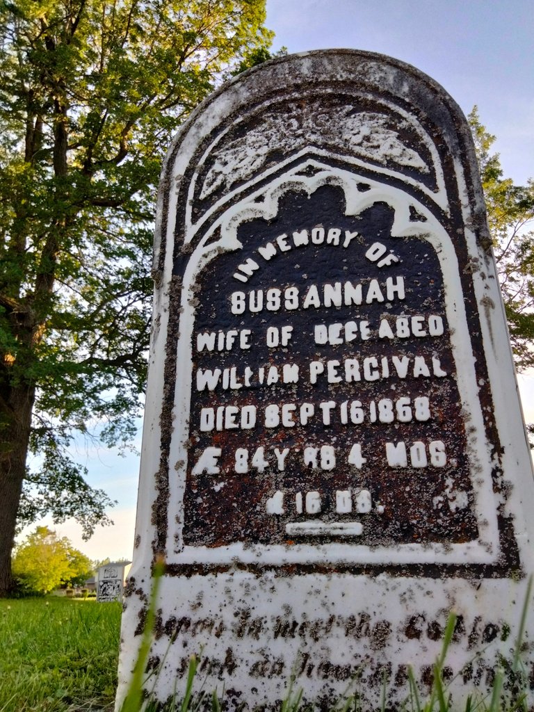
When travelling to historic Burritts Rapids, Ontario from Ottawa (via Donnelly Drive or Dwyer Hill Road), one of the first landmarks you'll see is Christ Church (Anglican), with an adjoining cemetery in the back. The parish formed in 1822, while construction on the church began in 1831, and was completed the following year.
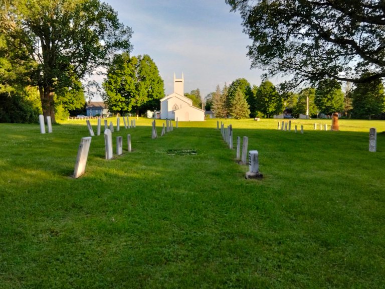
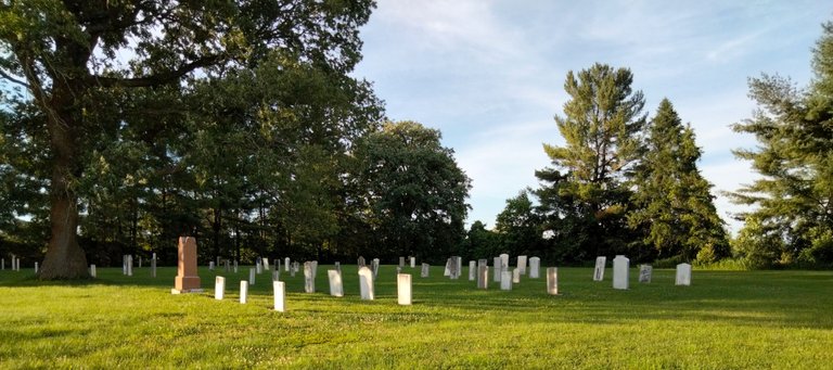
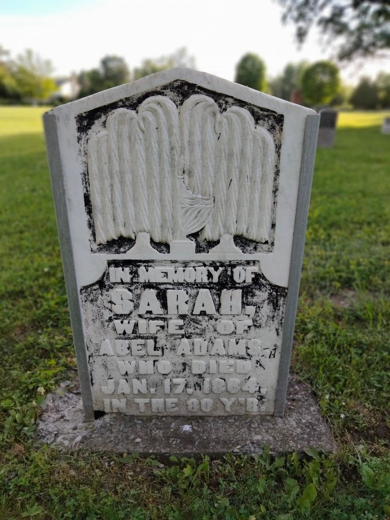
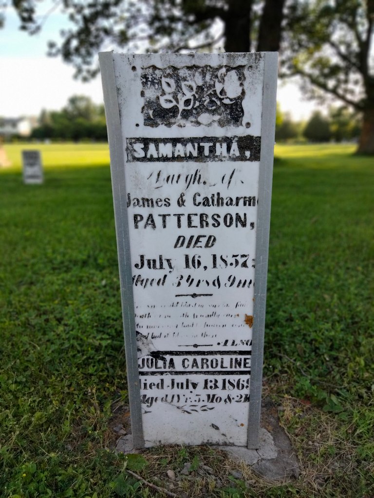
Pictured here is the eastern part of the cemetery, and presumably the original section, if the plain slab-like style of the tombstones are any indication. (By contrast, the sections to the west are more contemporary-looking.)
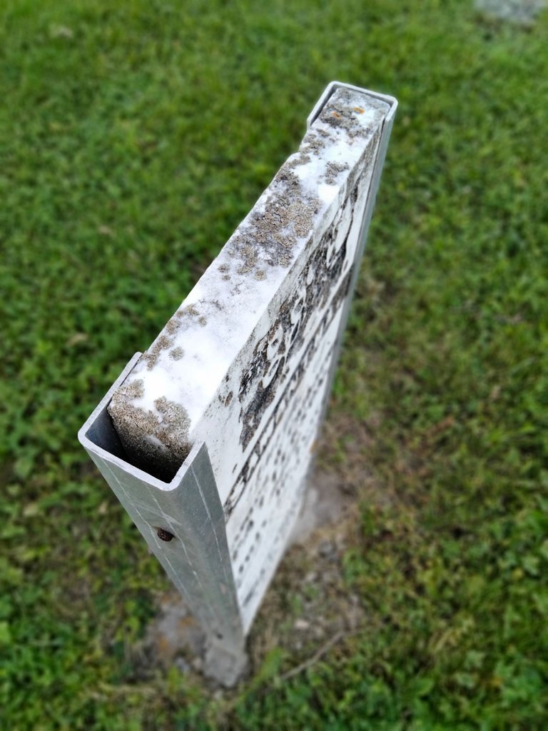
Most of the older tombstones I came across had aluminum(?) reinforcements on each side, which I can only assume is to keep them upright, or in some cases, to also hold them together.
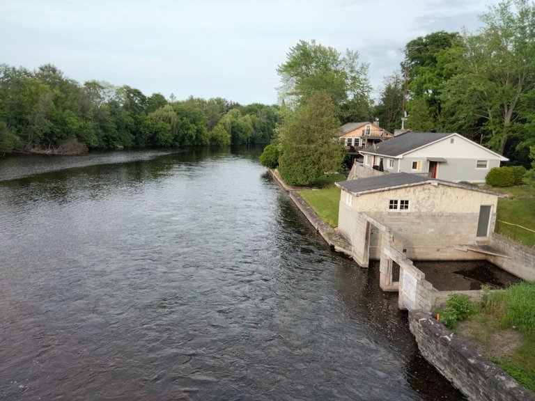
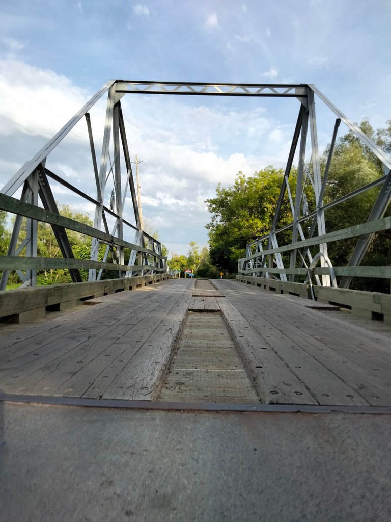
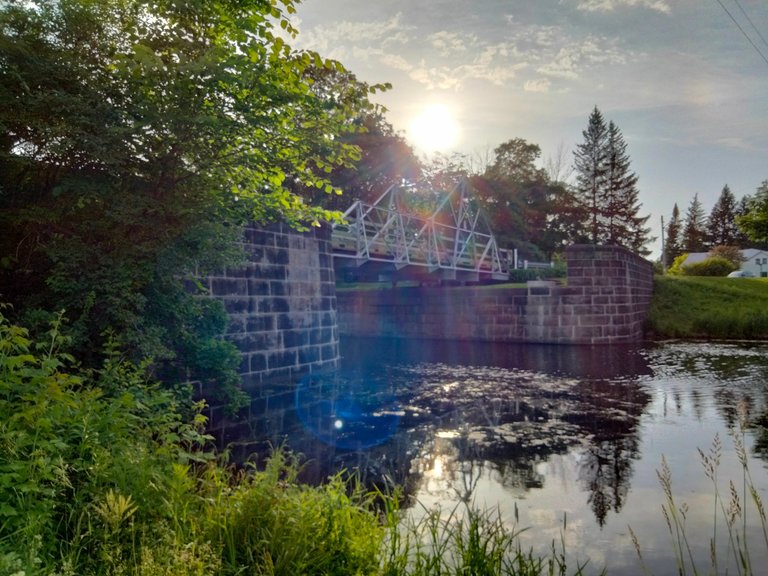
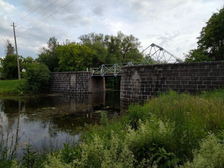
Barely a few steps east of (and perpendicular to) the front of Christ Church is the northern end of Burritts Avenue, which is the village's main thoroughfare, the span of which takes will take you across the island that comprises the heart of Burritts Rapids. This island is buttressed to the north and south by two bridges crossing the Rideau River.
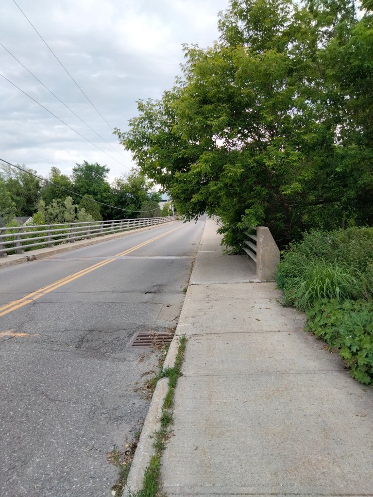
Above is a southward view of the bridge north of the island, followed by glimpes to the west and east of the bridge, respectively.
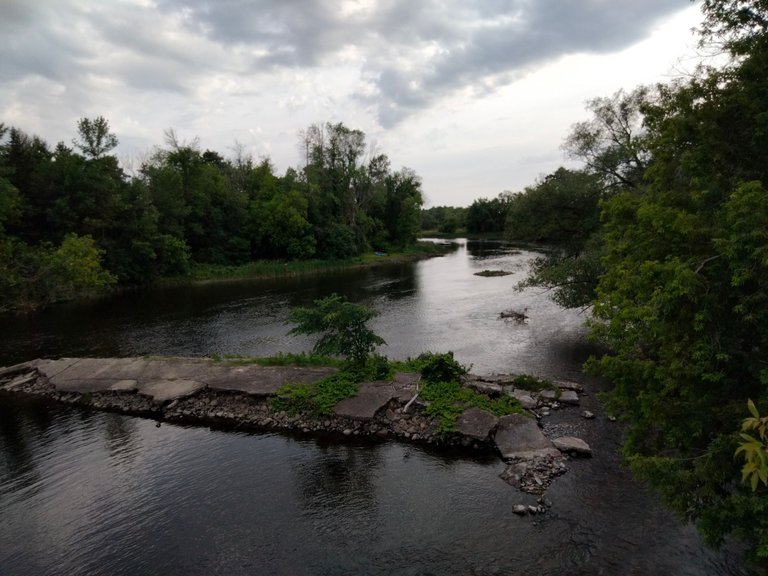
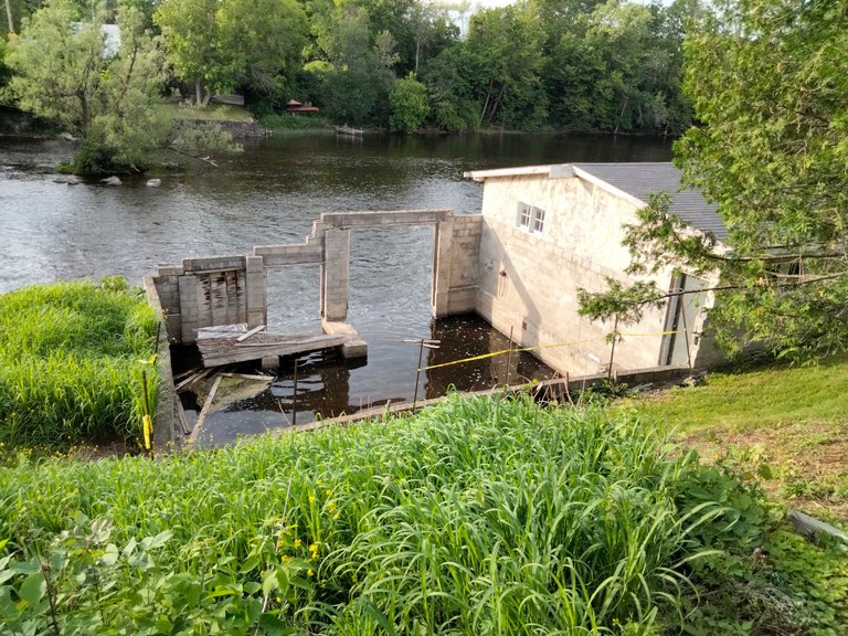
To be perfectly honest, I'm not sure what the remains of this stone structure used to be, though I'm definitely intrigued. A boathouse, perhaps?
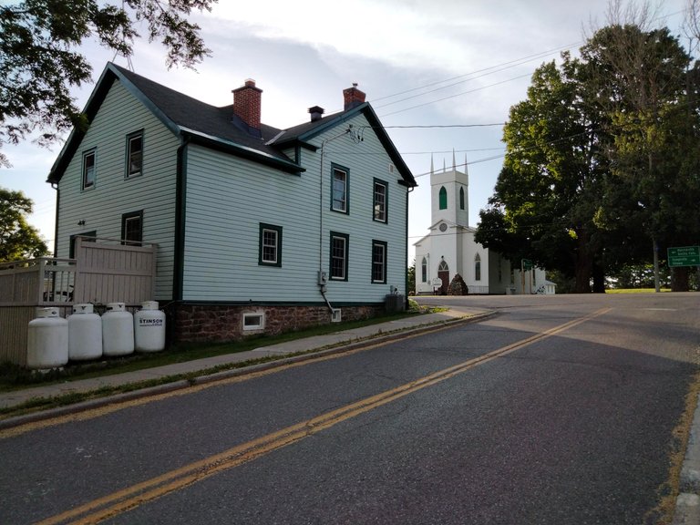
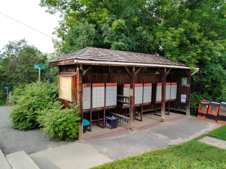
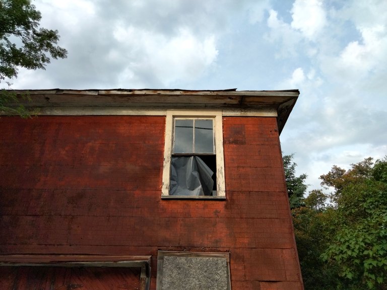
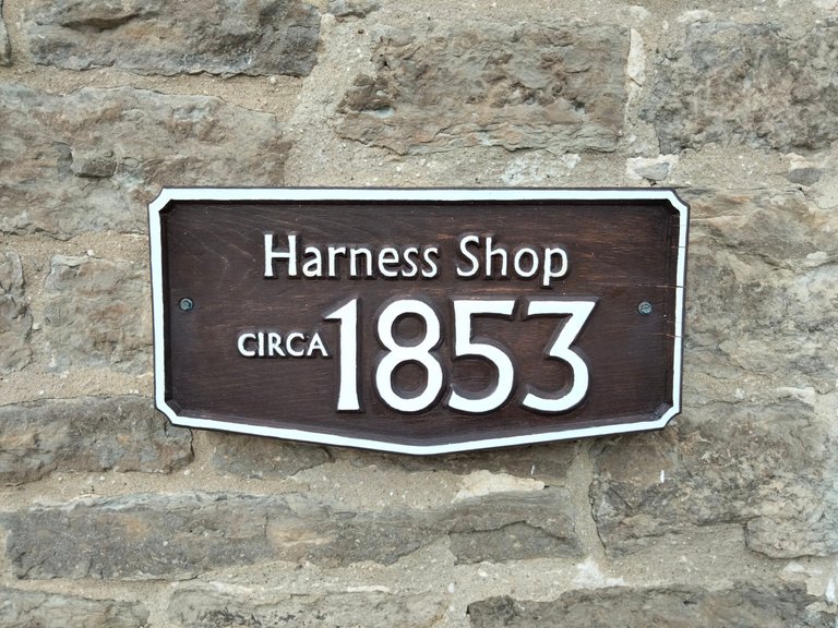
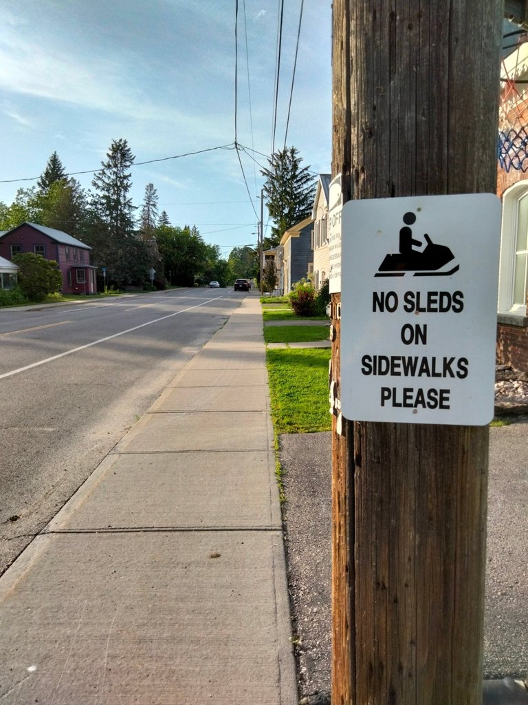
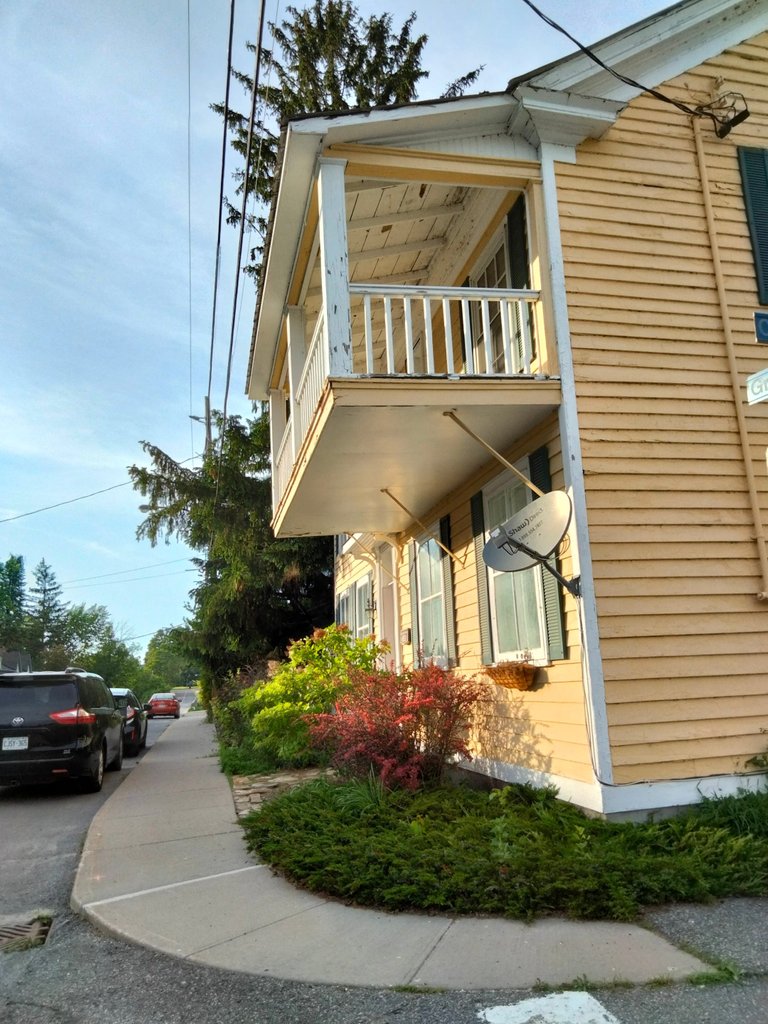
Some more self-explanatory sights from Burritts Avenue...
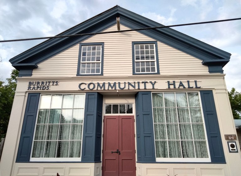
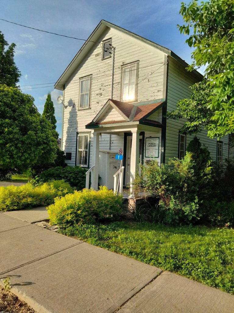
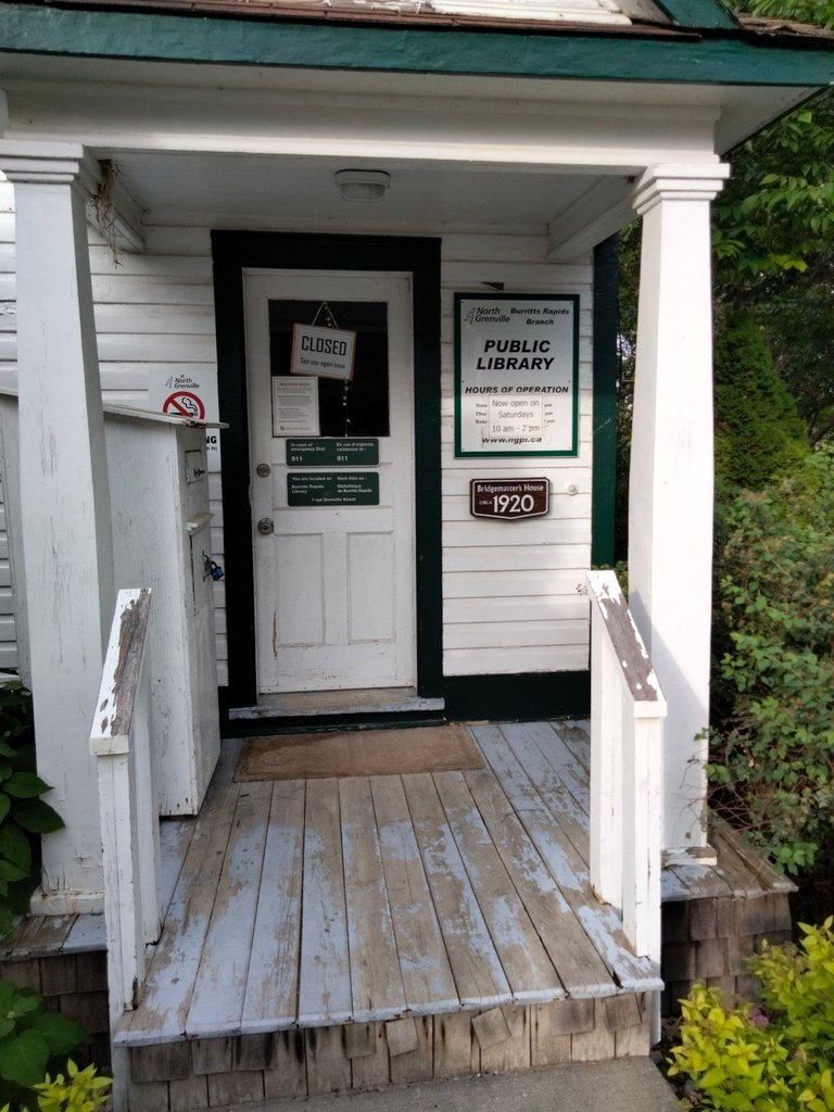
Above and below is the Burritts Rapids branch of the North Grenville Public Library, which was formerly the Bridgemaster's House.
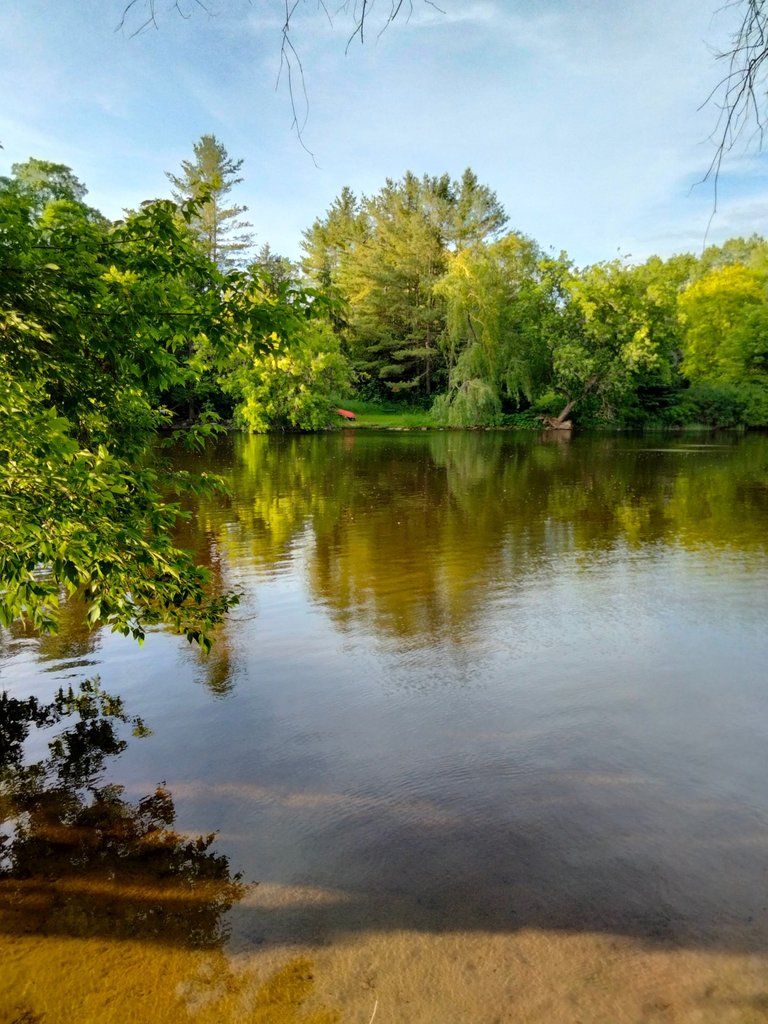
To the east of Burritts Avenue is Henry Beach, which is without a doubt the tiniest beach I've ever seen.
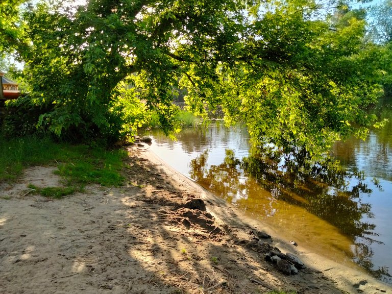
Unfortunately for swimmers, a sign at the beach warns that the water is unsafe due to high bacteria levels.
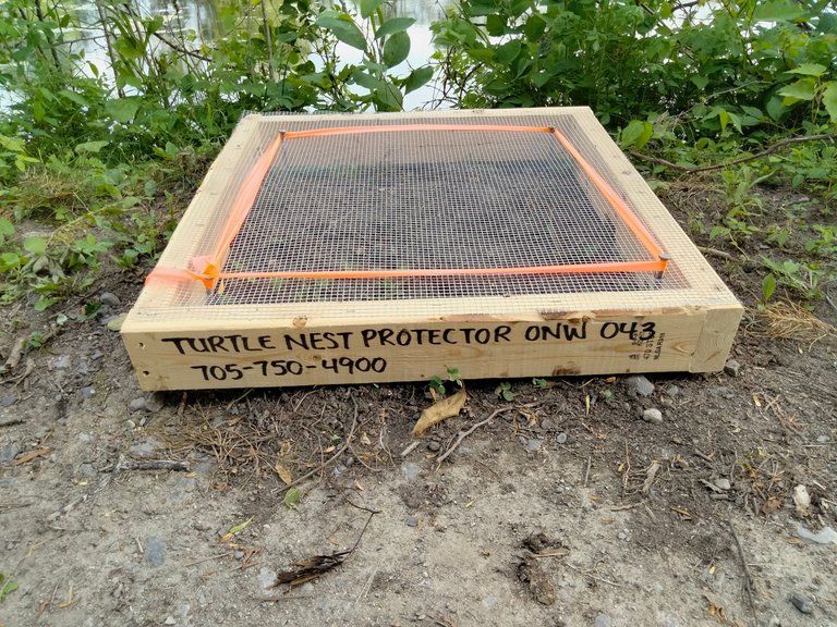
Above is a reminder of the delicate ecosystem in which Burritts Rapids is situated, as seen along the Tip to Tip Trail to the west of Burritts Avenue.
Eventually, Burritts Avenue leads you to the historic Burritts Rapids Bridge, which was constructed in 1897. Once on the other side of this bridge, you have crossed into North Grenville Township.
Any time I've been to Burritts Rapids, I've always been struck by how quiet and still this village is, and have often found myself wondering if I've unwittingly stumbled onto a vacant outdoor movie set. (The older I get, the more I would agree with any locals who prefer it that way.)
Speaking of movie sets, the 1986 Canadian film The Boy in Blue was partially filmed on location in Burritts Rapids, featuring a young Nicolas Cage.
There is actually more to see than what is shown here, be it the many vintage homes, a more complete look at the Tip to Tip Trail, and, of course, the Burritts Rapids Lockstation. That last item is nothing less than a glaring omission on my part. Its absence here is indicative of the fact that this photo series was the result of a last minute evening road trip for the sake of scratching the shutterbug itch--my intent was simply to get out of the house for a few hours, and take snaps of whatever happened to catch my eye.
The next time I'm down that way, I may try to document the lockstation and the full length of the Tip to Tip Trail, and post it in this space as a standalone piece.