This post is for #SublimeSunday and is inspired by @c0ff33a and #BeautifulSunday is initiated by @ace108.
Hello there and on this bright, foggy, frosty, bitterly cold morning we set out on a circular walk.
We recently picked up a bunch of leaflets from our local village hall that detailed a number of circular walks locally. Many of which we could start and finish from our own front door. They are very handy because around here there are dozens of interesting footpaths to follow.
Many of which I could track using Strava, as I did today but something went wrong with it, no mileage recorded. However the leaflet did say that it's 3.5 miles in total.
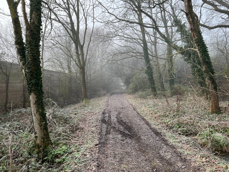
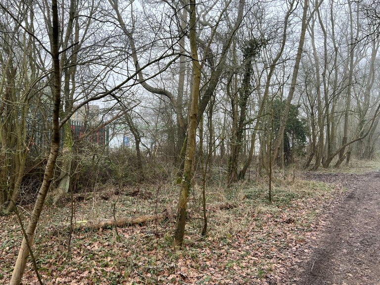
Woodcock lane is an old drove lane that runs alongside the modern A33 road that connects Basingstoke with Reading. Formerly the old "low road" to Swallowfield, Riseley and Basingstoke before the "High Road", as in the modern "Basingstoke Road". It was originally paved by Macadam in 1850. It's worth visiting again in the Spring and beyond, as quite a lot of wildflowers grow along here.
Talking of the A33 I can remember the section being built, as I lived in our village previously, I was a year old back in 1973 and we left in the 80s. So it's been nice coming back in my early 50s and finding things again. I'll tell you about this a bit more later in this post and others I'll write this year.
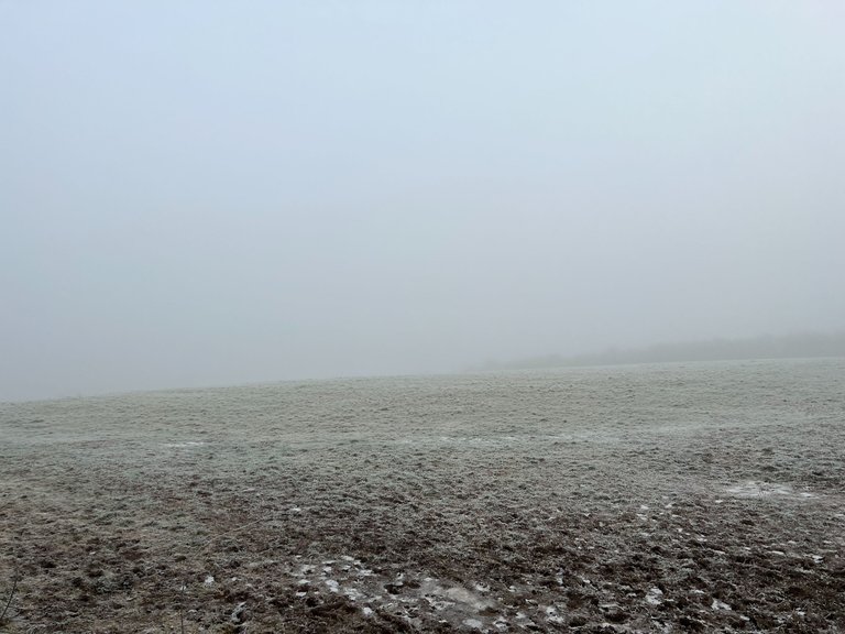
Some sections of the walk were blanketed in a heavy fog. This is one of the fields near the start and our house that on a clear day, you can see the Chilterns just over behind Reading and the Thames Valley area. We are on a high point here.
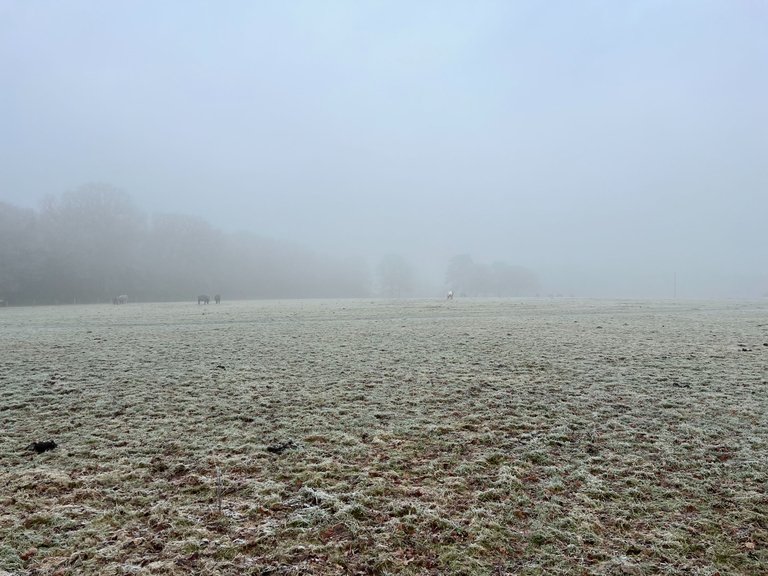
Another field we passed was occupied by some horses and the grass was frozen into little clumps that were quite interesting to walk on. It was almost like walking on rocks. In fact the whole route was nicely frozen, so we came back without muddy boots.
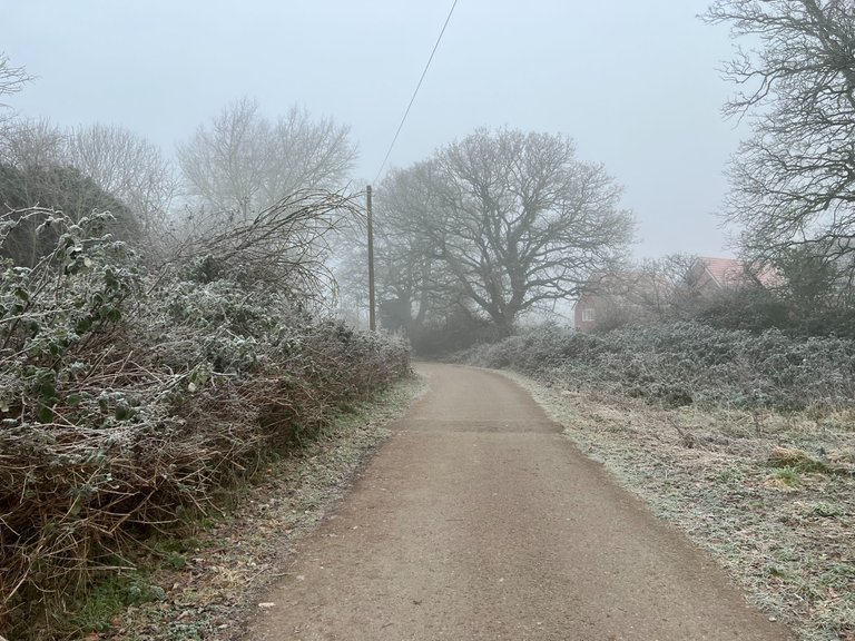
Most of the paths before we reach Woodcock lane are modern and surfaced with asphalt. This one is close to our house and another place I can remember from my childhood. I used to cycle along here back in the days when parents would say, don't go too far (often a a few miles at most) and be back before it's dark!
This path links our end of Spencers Wood with Three Mile Cross, our neighbouring village. I use it often to go down to Budgens!
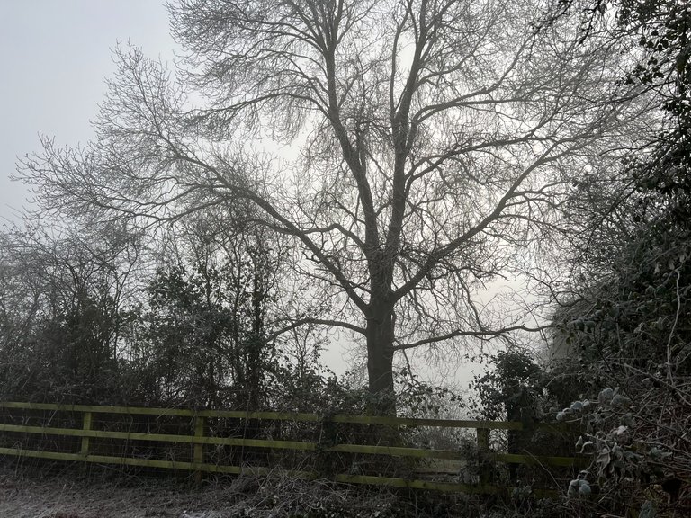
Nothing special about this photo, other than I like the silhouettes of trees at this time of the year.
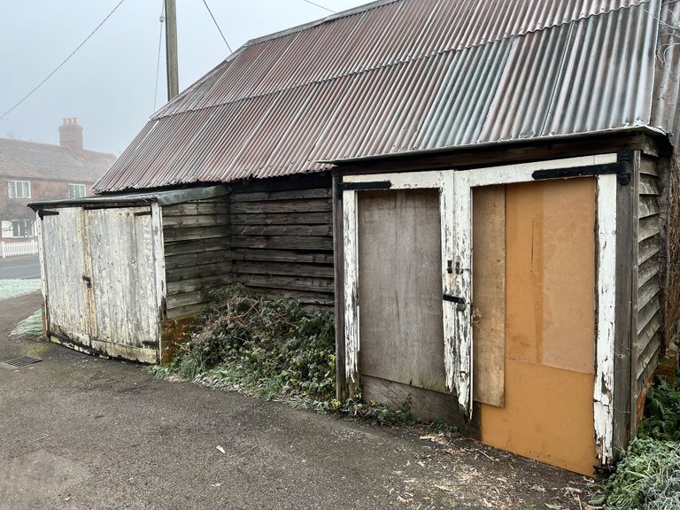
Three Mile Cross has maintained some of it's old historic buildings but has always been a tiny village, for as long as I've known it. I can remember the Blacksmiths or Smithie as they're colloquially known in this country when it was in use. It's lovely to see that it's still standing. If only I could find some more background information on it, maybe a deeper dive into http://swlhg.co.uk/index.php/category/three-mile-cross/ will reveal some answers?
Passing through Three Mile Cross and up towards the A33 we found the start of Woodcock Lane and it looked very inviting, wanting us to explore it further and we did!
The old lane is interrupted at one point, where Grazeley Road meets it but barely 30 yards further, we rejoin the original lane. It follows very closely to the A33 which is a bit noisy but it's still a pleasant walk nonetheless.
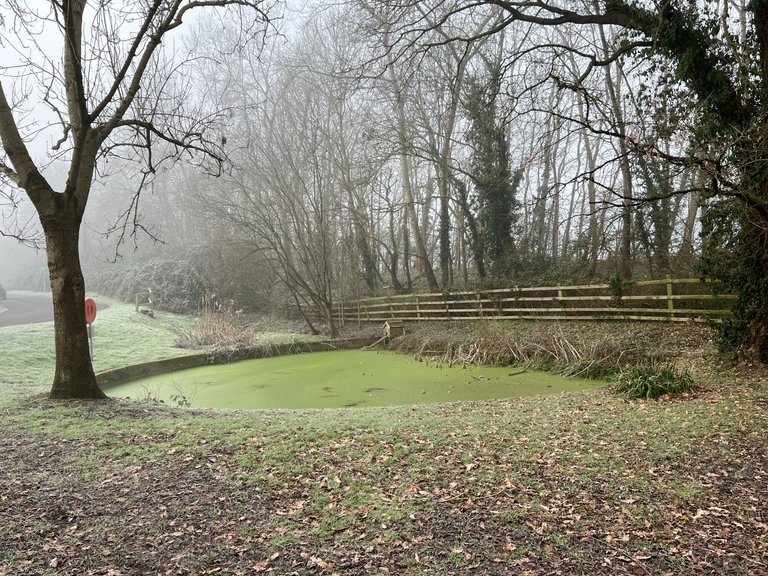
I wonder if this pond is frequented by many ducks at all. It's a bit green with algae! Many years ago, I reckon here, the road would have linked with the village of Grazeley because on the other side of the A33 here is Grazeley Road, it got cut off. Will have a look at some old maps to prove whether my theory is correct. On similar posts further down the road, I will do that sort of thing because there is nothing more interesting than peeling back the layers of our local history, to build up a picture of how things have changed over time.
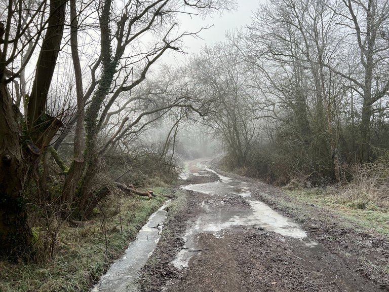
We continued further along Woodcock lane and it felt colder and the frozen puddles became more numerous. In some places we found little pathways through shrubs and saplings to negotiate our way around them. We could tell that other walkers over time had done the same thing, either that or the local wildlife had; because they didn't want to slip over and avoid embarassment!
Ooh it's getting murkier but behind that hedge is a service station! Luckily there is a little pathway that led through which allowed us to have a pitstop, toilets were very clean and we picked up a couple of Soreen Malt Loaves which were a very welcome little snack.
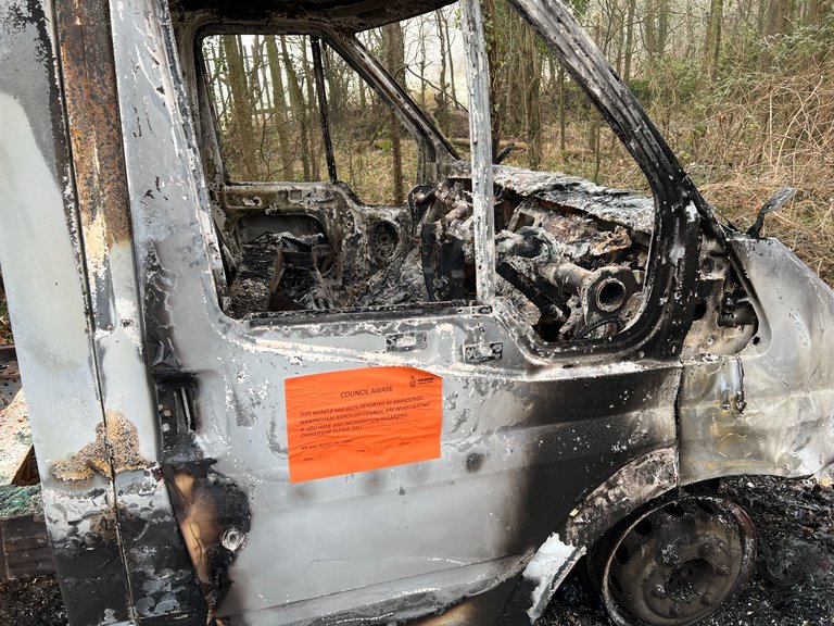
After awhile we reached a junction in the path that was marked, albeit unintentionally of course by this burnt out van. Glad to see the council are "aware" of it and hope it's "dealt" with soon.
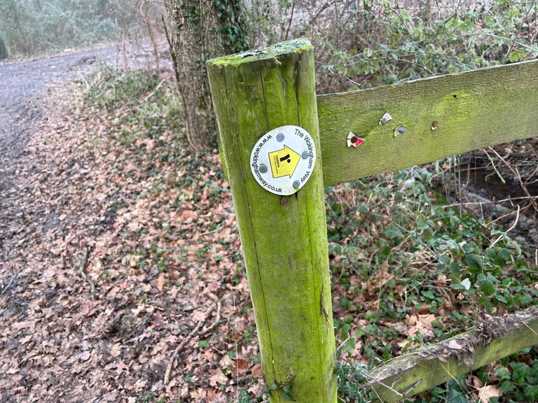
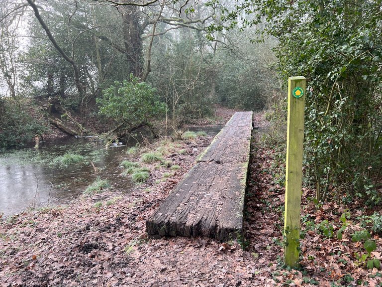
The Wokingham Way (https://ldwa.org.uk/ldp/members/show_path.php?path_name=Wokingham+Way) is signposted here and that is one I'd like to follow at some point in time. Gradually we'll navigate our way around the whole area on foot as often as we can. The Wokingham Way I think also follows parts of Slow Ways SPEHEC which is well worth looking into at some point in time.
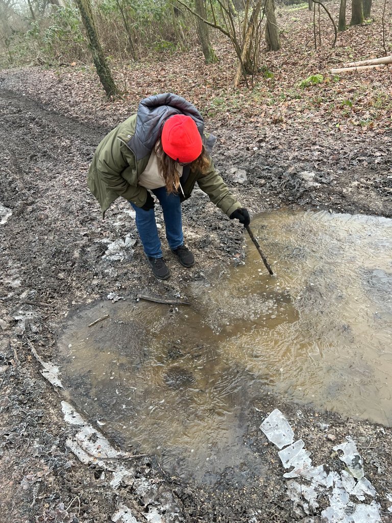
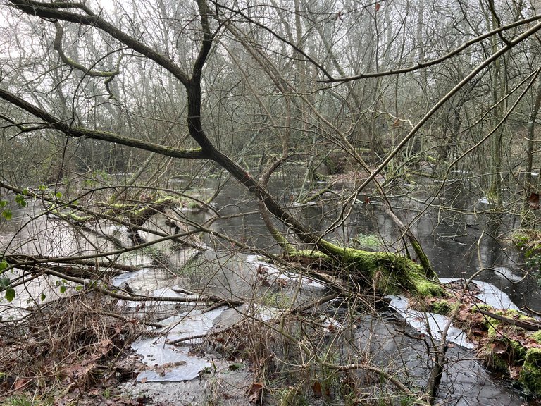
Tina hasa go at breaking the ice with a big stick but it was as solid as a rock. We could see the water moving underneath but the ice wouldn't break, it was totally solid.
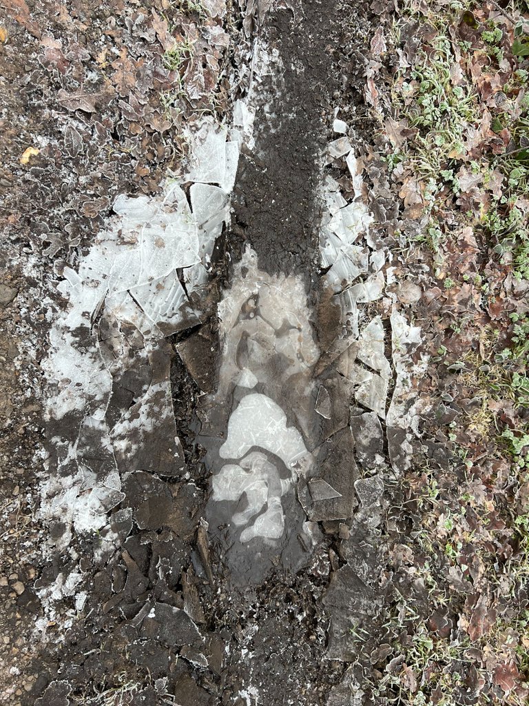
A close up of the ice.
We eventually reached a woodland that triggered a major sense of deja vu! Then it dawned on me, I had been there before when I was a Cub Scout back in the 70s! We used to follow trails here and so on.
Now I wander where this path goes? Made a note to explore another day.
Finally we reached an area known as "The Common" which I had read about and wasn't sure where it was, it's here, of course it is. I would have walked across here with the Cubs all of those years ago.... a long time ago.
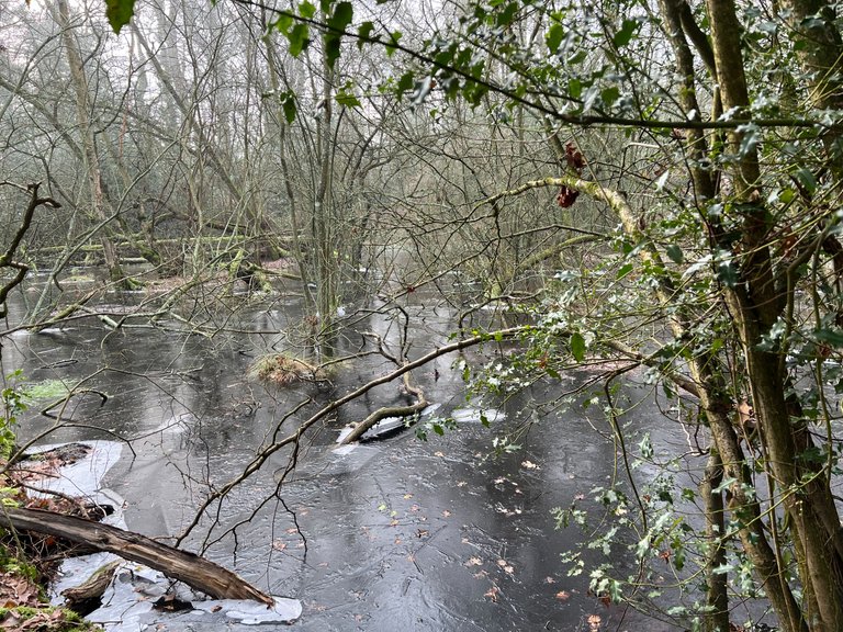
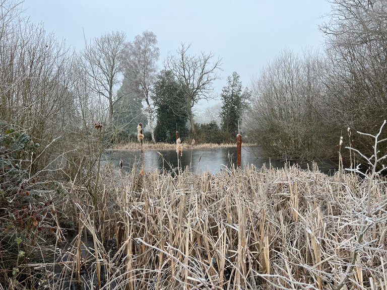
Beautiful pond and again very frozen.Interestingly this pond was the main source of water for villagers during and for a period of time after, the Second World War.
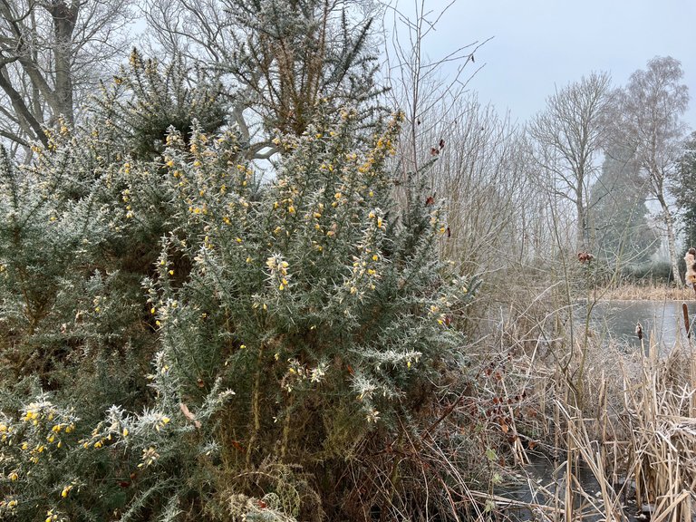
Frozen gorse and had started to flower before the frost hit.
Thanks for joining me on this Sublime Sunday, have a lovely week.
Ooooh, @new.things, I think you might like Nick's content!
Thanks for sharing. I’m going to be doing more walks and some shorter versions where I pick out interesting historical buildings, learning as much as I can about them. Plus my music content on top of that.
Awesome!
Hi @nicklewis,
Thank you for participating in the #teamuk curated tag. We have upvoted your quality content.
For more information visit our discord https://discord.gg/8CVx2Am
Looks like a nice walk and cool to revisit childhood haunts. Funnily enough I just had some maltloaf. Lovely stuff.
That’s very uncanny indeed. Ours had butter, they were little maltloaf sandwiches. Really nice.
Nice quiet walk. I've never heard of Strava.
Thanks, it was a great walk indeed 😀
Congratulations, your post has been added to Pinmapple! 🎉🥳🍍
Did you know you have your own profile map?
And every post has their own map too!
Want to have your post on the map too?