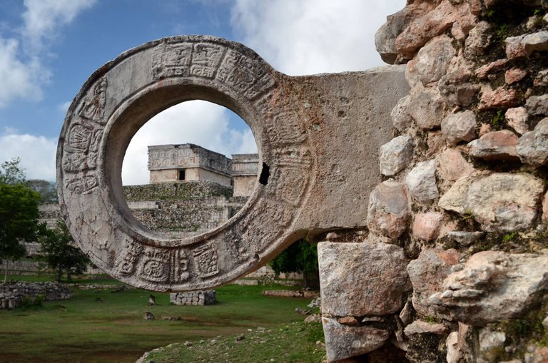
Chichen Itza city was the most important capital city of the Maya area in the Classic period and the beginning of Post Classic. When Spaniards arrived, it was the most visited center of cult and pilgrimage of Yucatan Peninsula. Chichen Itza and the Cenote of Sacrifices were, and still are, sacred centers for the Maya.
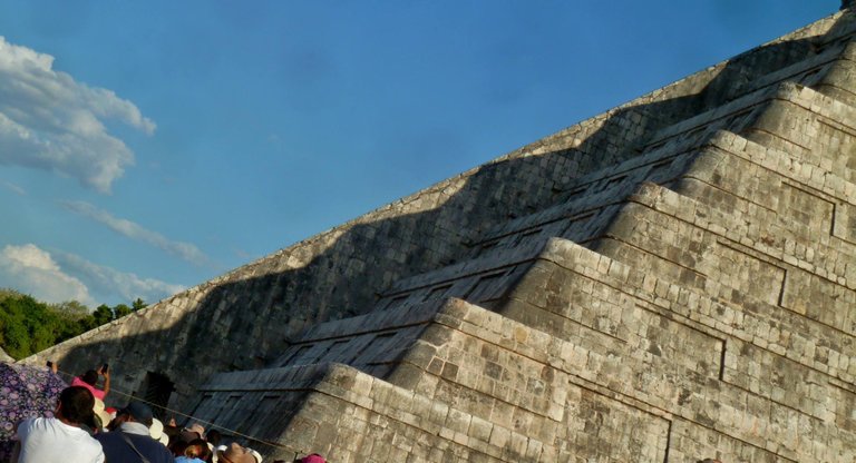
At the ancient Maya city of Chichén Itzá, during the spring and fall equinoxes, the great pyramid of Kukulcán serves as a visual symbol of the day and night as the sun of the late afternoon creates the illusion of a snake creeping slowly down the northern staircase. Each year tourists visit the site at the equinoxes in appreciation of Maya achievements in astronomy and their obsession with time and cycles of the heavens.
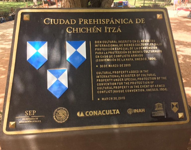
This is a Cultural Heritage Zone of Mexico, and due to its importance was inscribed in UNESCO World Heritage list in 1988.
Chichen Itza holds uttermost valuable information of Pre Hispanic past. Due to its beauty and singularity, it is a cultural referent for Mexicans and a symbol of national and indigenous identity.
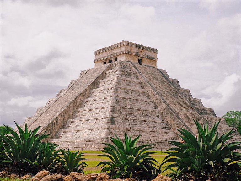
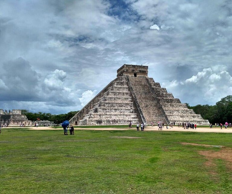
The Pre Hispanic city of Chichen Itza is nowadays a tourist destination visited each year by more than a million people. The most prominent building of the metropolis, Kukulcan Pyramid, known as El Castillo, has become an emblem of the Maya culture all over the world.
As the pole of tourist attraction it has become, Chichen Itza faces the great challenge of achieving sustainable development and at the same time, guarantee the integral conservation of the legacy of generations to come.
The area that can be visited is 47 hectares long, but the protected zone of Chichen Itza is more than 15 square kilometers, and includes all of the monumental buildings of the city. This delimitation is known as Protection Polygonal.
The area that can be visited is 47 hectares long, but the protected zone of Chichen Itza is more than 15 square kilometers, and includes all of the monumental buildings of the city. This delimitation is known as Protection Polygonal.

The National Institute of History and Anthropology (INAH) is in charge of the protection, study and outreach of the Archaeological Heritage in Mexico. In Chichen Itza, several research and conservation projects are held by an interdisciplinary group of professionals that includes archaeologists, restorers and anthropologists, as well as specialized workers that live in the surrounding areas.
In order to carry out these projects, some monuments of the Pre Hispanic city are temporary closed to the public. Some other areas and buildings that have not being explored, and are not consolidated yet, cannot be visited for security reasons.
The barriers and signals on the protected buildings are visible to the naked eye. The massive tourism is the most active deterioration factor. Research is being done to determine the buildings load capacity, in order to achieve an even distribution that guarantees a better conservation.
Hi! I am a robot. I just upvoted you! I found similar content that readers might be interested in:
http://chichenitza.inah.gob.mx/index.php?option=com_content&view=article&id=9&Itemid=8
I was there once, beautiful site.
Excelentes imagenes cuando fui estaba tan maravillado que no me ocupe de sacar tan buenas fotos.
da un poco de trabajo tomar buenas fotos hay que buscar buenos angulos