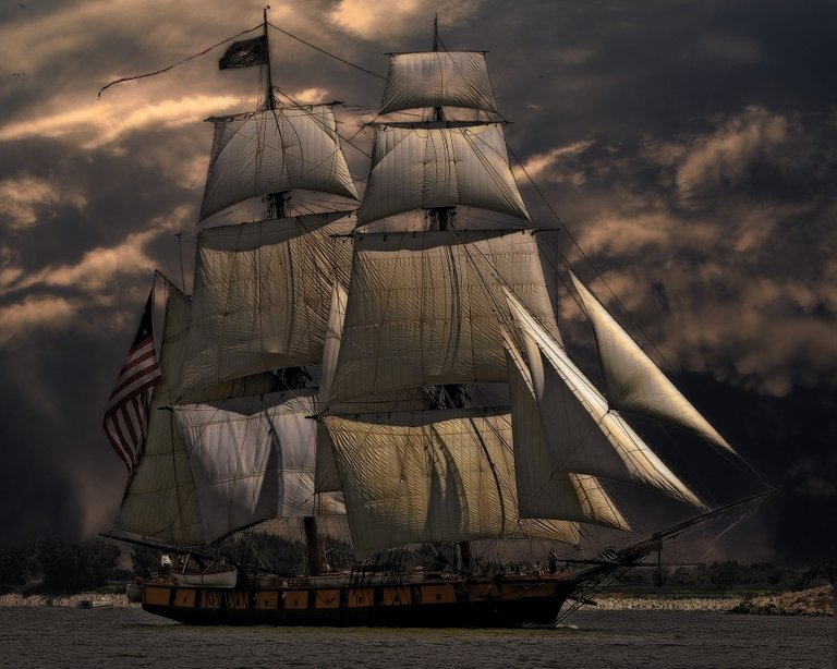
Today it is easy for a vessel to find its way across the oceans and arrive safely at its destination by means of navigation assisted by the use of GPS (Global Positioning System). Just about all ships, boats and yachts are equipped with it and almost everyone has heard about it in these days of modern technology, but does anyone still remember how it was done in the days without it?
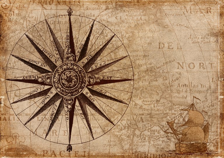
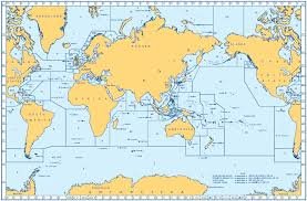
Chart
Chart – This is a detailed map showing latitude and longitude, ocean depths and dangers, prevailing winds and currents. Details of your course will be plotted on it each day with instruments such as parallel ruler, dividers and protractor.
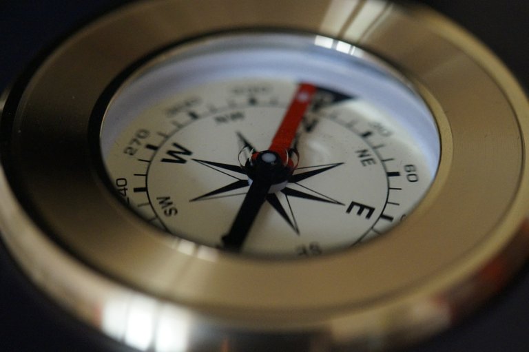
Compass
Compass – Either mounted on the console, the deck or held in the hand, this will always point to magnetic North. The vessel’s heading in degrees is determined by the course on the chart, factoring in compass Variation and Deviation. This course is converted from True-North to Magnetic-North.
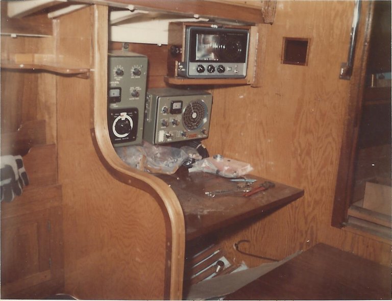
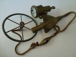
Radio & Echo Sounder.
Echo Sounder – Measures the depth of water between the seabed and the keel of the boat by means of sound waves sent and received by a transducer. The depth will show on a graph. In the old days a measured line with a lead weight at the end was used for shallow water.
Radio – A very valuable piece of equipment for communicating with ships and shore stations, listening to weather updates, time checks and fixing a position from radio beacons.
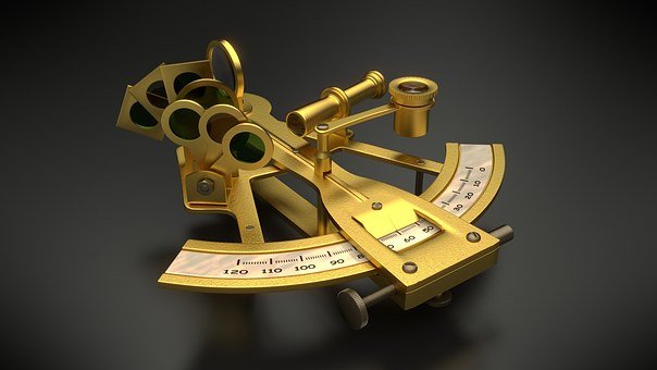
Sextant
Sextant – A complex hand held instrument for measuring the altitude of celestial bodies, e.g. the sun, moon and stars, to be able to work out the Latitude and +Longitude with aid of the Nautical-Almanac tables.
Patent Log
Patent-Log – This measures the distance of the vessel by means of a rotating line trailed aft of (behind) the boat connected to a dial that shows Nautical-Miles travelled.
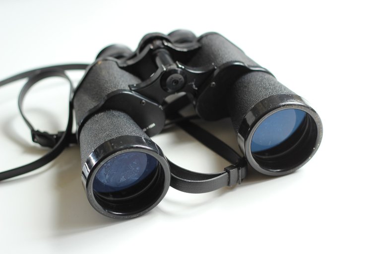
Binoculars
Binoculars – You need to you be able to make sure that you can identify things like landmarks, lights, marker buoys and other craft.
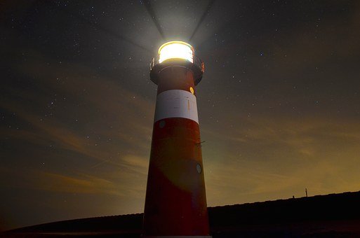
Lighthouse.
Lighthouses – They all have unique sequences of flashes that identify them at night so you can determine your position relative to them.
Literature.
Literature – Pilot-Book, List-of-Lights, Tide Tables, Radio Signals, etc.
So you can see how the GPS has more or less negated all these aids but every qualified captain, coxswain or crew of a vessel has to qualify by passing his exams based on knowledge of the above items.
Credit: My own blog and photo of radio and echo sounder. Other pictures from Pixabay Free.
Congratulations @petertheo! You have completed the following achievement on the Steem blockchain and have been rewarded with new badge(s) :
Click here to view your Board of Honor
If you no longer want to receive notifications, reply to this comment with the word
STOPDo not miss the last post from @steemitboard:
Thank you @steemitboard for the award.
Congratulations @petertheo! You have completed the following achievement on the Steem blockchain and have been rewarded with new badge(s) :
Click here to view your Board of Honor
If you no longer want to receive notifications, reply to this comment with the word
STOPTo support your work, I also upvoted your post!
Do not miss the last post from @steemitboard: