The way Star Trek sees the universe is interesting. Planets are basically countries, mostly with single world governments, and those countries think of territory the same basic way we think of ocean and airspace here on earth, in the 20th and 21st centuries.
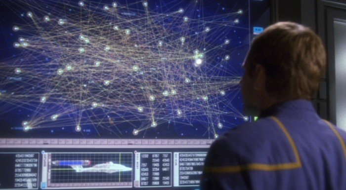
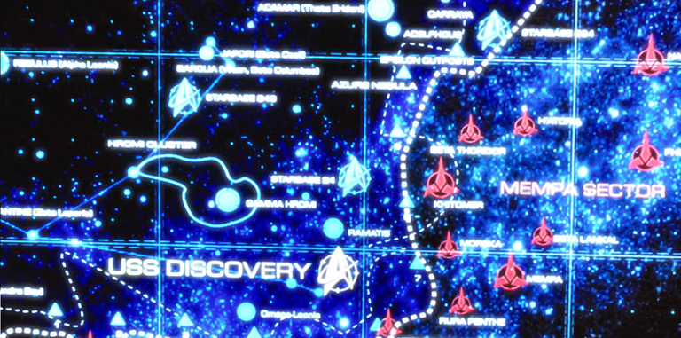
Maps are simplistic, and detail how the different planetary governments see this territory. It's there, omnipresent, and well stated in every version of the series. And these territories are mapped by these two dimensional nautical looking space maps. Sure, they're on screens, rather than on paper, but they're still there, and they're always used as a reference point. In the universe of Star Trek, outer space is a vast ocean.
There are a lot of problems with this. Not the least being that space is infinite. A two dimensional nautical map is going to work well on an ocean, but it's going to break down when you think about the fact that star systems aren't flat, and the territory that surrounds them goes on, literally forever, in every direction.
If you put point A down on a map, and you say, "I own this," it's completely arbitrary, when 1) outer space isn't oriented for up and down, and 2) your point isn't so much a point, but rather a rod, or a stick, that goes on for eternity. If you did set two dimensional territory in space, it would be impractical.
Three dimensional territory in space couldn't be controlled. No single planet would have the resources to control the infinite amount of territory they're claiming, so the whole system would fall apart.
I can't imagine that any space faring government would ever treat the void the way we treat the waters.
But maybe I'm just over thinking it again, that's possible.