Maturín, 2/03/2020
Aliendres, A.
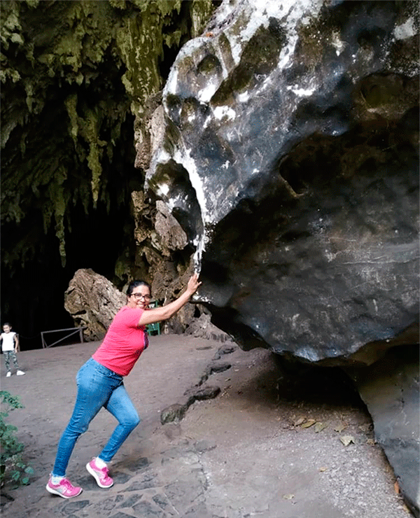
Last Thursday, after a well-deserved family and holiday break in Carúpano, an eastern coastal city in Venezuela, I started a adventurous journey through the Eastern mountainous region, starting from the coast of the municipality of Arismendi. I drove along the old Carúpano - Cariaco road to enjoy the beautiful marine and coastal landscape that embraces the gulfs of Paria and Cariaco. To feel the mountainous climate that characterizes the inner range of the Central Mountain Range, I drove to Black Hill, where the Alexander of Humboldt Natural Monument is located, a wonderful cave traditionally known as Guácharo of Cave.
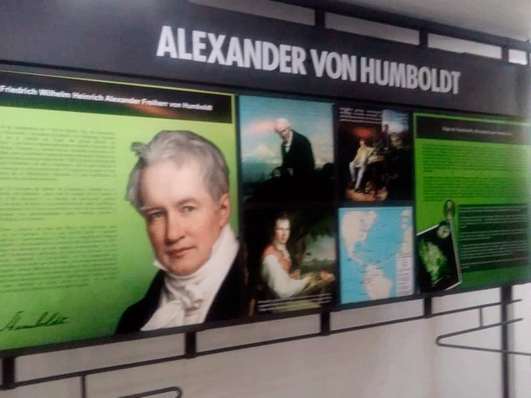
Alexander Humboldt Museum, located inside the national park of the same name.
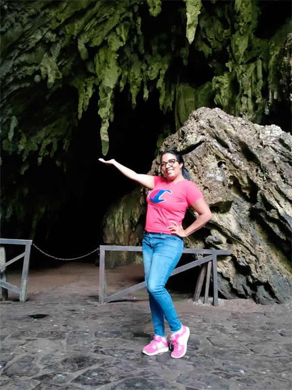
Guácharo of Cave Natural Monument
Thanks to the observations and topographic records carried out by the Venezuelan Speleological Society (1965 - 1972) in the galleries that comprise the cave network in the Guácharo of Cave, it is known that its length is approximately 10.2 kilometers; this places it among the three largest caves in Venezuela. In fact, until 1992 it was believed to be the largest geomorphological cavity; currently it is known that El Samán Cave (18.2 km) and the Roraima Sur System (10.8 km) considerably exceed it.
The great tectonic activity that takes place in the Cretaceous, about 130 million years ago during the Mesozoic era, accelerates the withdrawal of a primeval sea and a dynamic fault in the eastern coastal area of influence generates a colossal folding with anticlinal and synclinal forces that make important geological formations emerge from the geographical, morphological, hydrological, biological and speleological point of view. The Guácharo Cave, located at 1065 meters above sea level and with an average temperature of 20°C, belongs to Black hill in the Caripe mountain range. Scientifically explored for the first time by Humboldt and Bonpland (1799); on July 15, 1949, in honor of the German scientist Alexander Humboldt, it was decreed and named the first natural monument in Venezuela.
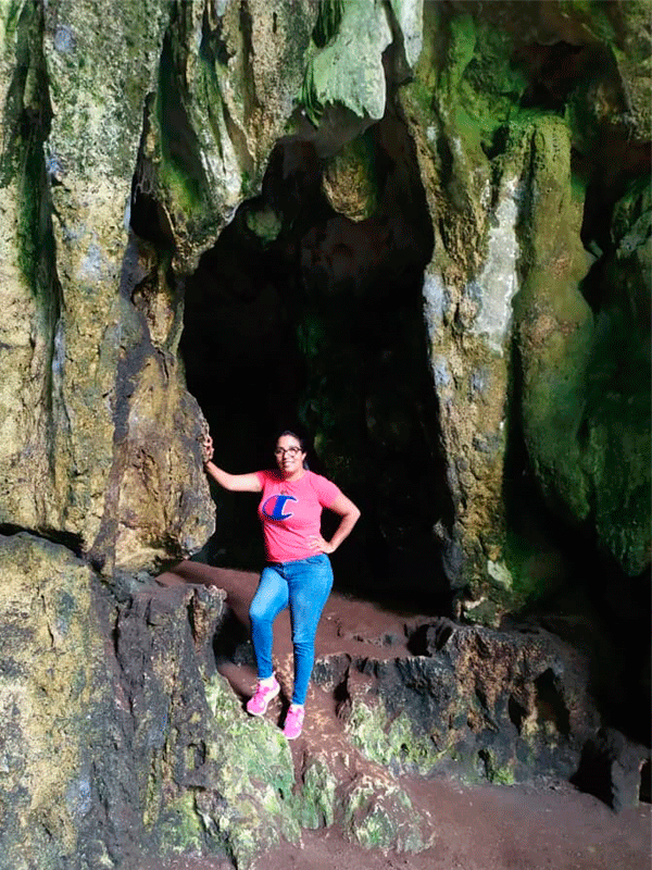
On the right bank of the entrance to the cave, there is an impressive sedimentary rock that presents a considerable process of micritization that has erosive effects on the interior texture where microorganisms and the calcareous mud they generate act.
The Guácharo (Steatornis caripensis)
It is a bird of nocturnal habits, with dark brown plumage and permeable by its oleaginous nature; its habitat and dwelling are the caves. It is frugivorous and has the aerodynamic quality of orienting its flight through an advanced echolocation system, producing moderate frequency clicks that are audible at some distance. Its young have the particularity of eating up to a quarter of their weight, this keeps them with abundant body fat. The Chaima tribe hunted them to obtain this fat, which they used for food preparation and torch making.
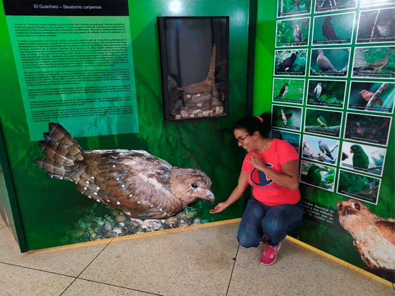
Image of a Steatornis caripensis chick in its nest. As I mentioned, it's a bird of nocturnal habits; meanwhile, it's photophobic. For reasons of safety and protection of its species, it is forbidden to use photographic equipment or similar devices to capture images during the tour inside the cave. Nor is the use of flashlights allowed. The tour guides use diesel lamps with dim light to avoid biophysiological alterations in these birds.
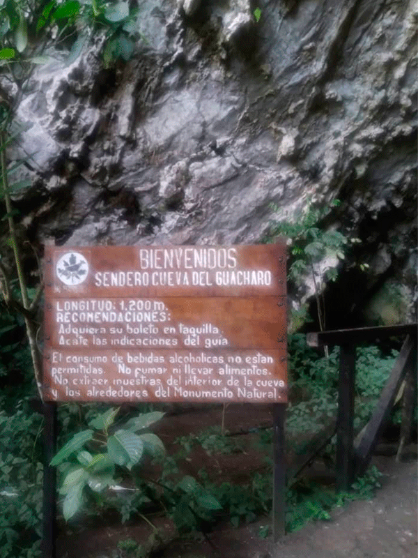
On the left side of the entrance to the cave, there is a sign with instructions on use and conditions for visitors; in the first place the permissible route is indicated, which is 1.2 kilometers; since the rest of the cave is reserved for specialized personnel and authorized by the institute for the protection of parks. The consumption of food and alcoholic beverages is prohibited during the internal route; neither is the extraction of samples allowed.
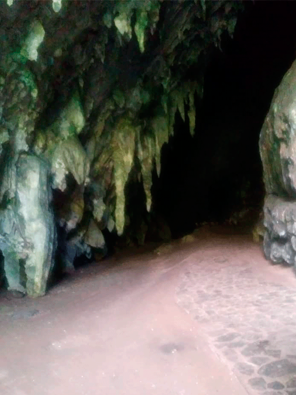
The ancient stalactites held from the upper cavity as natural pointed curtains welcome tourists and expeditionaries. The formation of these impressive rocky peaks has a physical-chemical explanation. The atmospheric water that descends in the form of rain permeates the soil and drags certain minerals.
In this way, it dissolves carbon dioxide and is transformed into carbonic acid that penetrates through the porosities and fissures of the limestone rock; thus it is charged with calcium carbonate. However, through water saturation and an oxidation process the calcium carbonate ends up crystallizing producing these complex structures.
The surface soil at the entrance and inside the cave has a high content of organic matter, mostly due to the deposition of guano and food waste generated by the birds. The lichen coating makes the external walls of the majestic natural monument predominantly green.
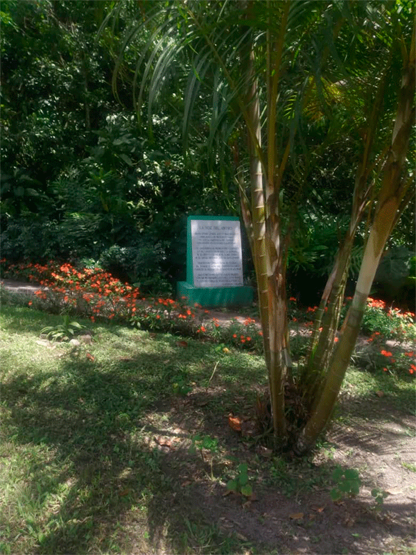
A beautiful system of paths built with limestone are guarded by ornamental, fruit and native species that provide a pleasant environment for tourists and visitors.
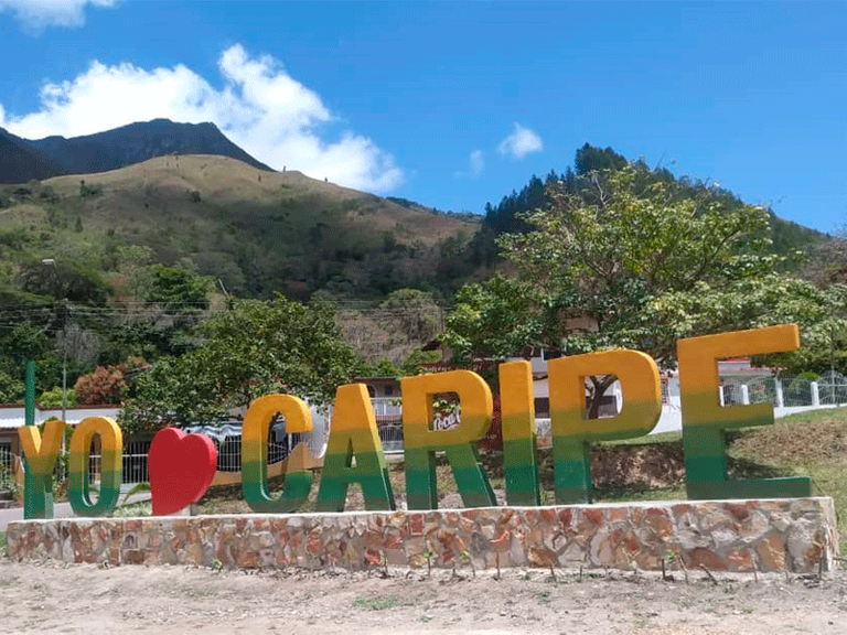
After leaving the Guácharo Cave, I went down to the town of Caripe and found this notice at the entrance of the town very beautiful: I love Caripe, as well as all the readers and users who support this ecological publication. Until the next meeting. Thank you for your comments.

𝐑𝐞𝐟𝐞𝐫𝐞𝐧𝐜𝐞𝐬
Cueva del Guácharo National Park link
Guacharo Caves, Monagos / Sucre, Venezuela link
National Parks of Venezuela link
The photographs were taken with digital camera of mobile equipment LG K20
@tipu curate
Upvoted 👌 (Mana: 20/30 - need recharge?)
Thank you for supporting my publication.
Welcome, really a good post!
Congratulations, your post has been upvoted by @dsc-r2cornell, which is the curating account for @R2cornell's Discord Community.