Hey everyone!
How was your day? Hope you're doing well! Everything is fine as far as I'm concerned, I'm just too busy as always. It is what it is I guess. Stop whining, dude. I'm not! Life is good right now. Only problem is I felt the need to blog a bit more about Cartography, so here I am with the seventh part of the series. After all I always keep my promises. As always I'm in a hurry, so let's get this started! Oh no, not again!
As promised in my previous Cartography blogs, which I have linked down below, this is the seventh part of this Introduction to Cartography series. For those of you who have just tuned in, I've already shared technical information regarding the art and science of creating 2D depictions of our 3D world with precision. We've already classified mappings into categories and discussed the objective of Cartography.
I have also presented information regarding the various categories of cartographic transformations and cartographic projections that are mainly used nowadays. This time I'm taking the chance to share introductory information regarding Scale and Scale Factor. We will take a deeper look at the the way the Map Scale is defined and calculated, and learn the difference between Scale and Scale Factor. We will also talk about Scale Transformation, so bare with me!
Believe it or not, these are still introductory posts as we will only discuss broad information regarding the various scientific terms used in the making of these blogs. This basically means that we will be discussing general information in a simplified manner. I will also try to keep everyone entertained by including probably failed jokes. I've tried this in the past and it worked! There's always a high possibility of learning a thing or two by staying focused, so please give it a try!

Image Source: pixabay.com
Map Scale
In order to provide quality, accurate end products that can be used for the measurement of distances and angles, Cartographers utilize a scale in order to create precise depictions of the Natural Terrestrial Surface that are much smaller in dimensions than in reality. This scale is a fraction, calculated by dividing measurements made on the map's surface by measurements of the exact same geographic entities' properties made on the Natural Terrestrial Surface, which happens to be the real world for those of you who just tuned in. This fraction is known as the Map Scale and has a value that varies slightly between different locations or along different directions, especially due to the process of transformation and projection of the reference sphere on a flat surface.
The Map Scale can be represented and demonstrated with the utilization of various techniques. Cartographers often use graphical elements in order to provide observers and users with precise information regarding the Map Scale. Furthermore, it can be indirectly indicated and estimated by analyzing the measured distances between Parallels and Meridians. It is necessary that information regarding the Map Scale is always included in mappings, for the extraction of metric information to be possible. There are four main ways of formulating and couching the Map Scale that are used by Cartographers, as demonstrated below:
Representative Fraction
The Representative Fraction is a numerical value that is mainly presented in the form of 1 : 500 000 or in the form of 1 / 500 000. The value of the numerator represents distances measured on the projection plane, while the value of the denominator represents the exact same distances measured on the Natural Terrestrial Surface respectively. This basically means that 1cm measured on the mapping surface, along specific directions, equals 500 000cm on the Natural Terrestrial Surface. It is worth noting that the exact same measurement unit must be utilized regarding the numerator and denominator values.Verbal Wording
This method is another useful way of representing the map scale. A statement regarding a specific distance depicted on the map's surface, compared to the exact same distance as measured on the Natural Terrestrial Surface, is included within the map's boundaries. Different sorts of mostly linear graphical elements that are described by numbers concerning distance units in various metric systems are utilized. This is a method that was broadly used by Cartographers and Engineers in general in the previous decades but remains rather useful in specific cases nowadays.Graphical Scale
The Grahical Scale is a tool that is mainly comprised of linear symbols. It is depicted as a bar that is divided into specific metric units in order to accomplish accurate representation of the actual size of distances measured on the map's surface. The bar is frequently divided into even smaller parts on one of its ends, which is a rather useful method of providing observers and users with the ability to measure distances on the map's surface with even higher precision. The Graphical Scale is commonly used by Cartographers in various sorts of mappings nowadays.Surface Scale
The Surface Scale refers to a value that is calculated by dividing the area of a surface as measured on the map by the exact same surface's area as measured on the Natural Terrestrial Surface. Equal-area projections preserve the analogies of the surface area of geographic entities and therefore a square unit on the projection plane equals a specific number of square units of the same metric system on the reference sphere's surface. Usually there is no Representative Fraction used in the case of Surface Scale, however this sort of scale can also be graphically represented by utilizing a square symbol that equals to a specified number of square units.
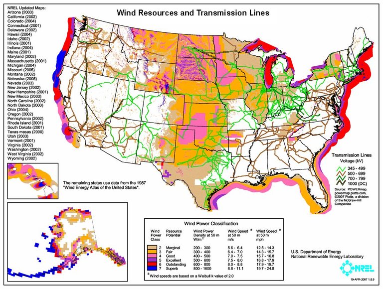
U.S.A. Wind Resources & Transmission Lines / Image Source: commons.wikimedia.org (Public Domain Dedication)
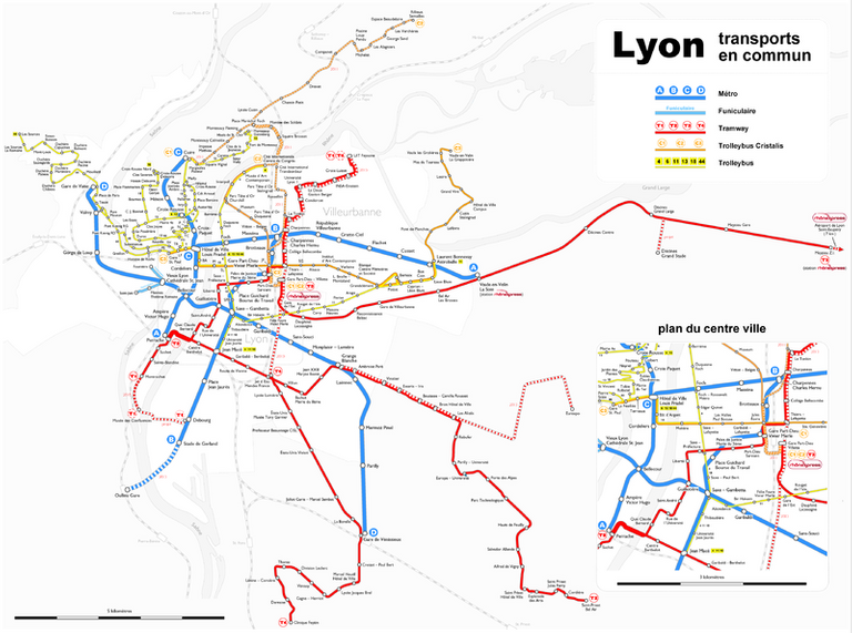
Transportation System of Lyon, France / Image Source: commons.wikimedia.org (Creative Commons - Share Alike 2.5 generic license)
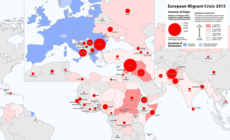
European Migrant Crisis / Image Source: commons.wikimedia.org (Creative Commons - Share Alike 2.5 generic license)
Scale Factor
The value of the Scale Factor is basically calculated as a complex fraction. The numerator of the fraction represents the actual Representative Fraction, whereas the denominator represents the primary Representative Fraction, which refers to the reference surface's primary scale. For instance, if the actual scale on the map's surface is two times larger than the primary scale on the reference sphere's surface, then the value of the Scale Factor equals 2.0. It is worth keeping in mind that the Scale Factor is a fraction and therefore the greater the denominator value, the smaller the Scale Factor value.
It is worth noting at this point that Scale Factor values of 1,3 or higher are only found in cases of small scale maps. On the contrary, the Scale Factor value equals approximately 1,0 in all areas of the projection's surface in cases of large scale maps. Trivial variations of the Scale Factor value depending on location are rather insignificant and go unnoticed. Just for the fun of it I will proceed to mention how the Scale Factor value fluctuates from 0.9997 to 1.0016 in a zone of 6 degrees of longtitude, in maps that are designed and constructed with the utilization of the Transverse Mercator Projection.
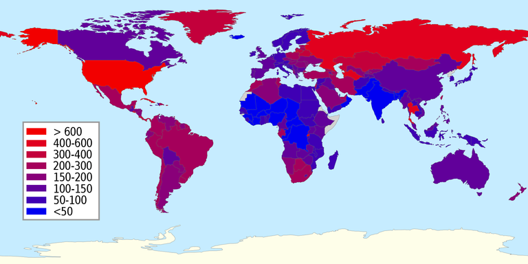
Number of Prisoners per 100 000 Citizens - Small Scale Map./ Image Source: commons.wikimedia.org (Creative Commons CC0 1.0 Universal Public Domain Dedication)
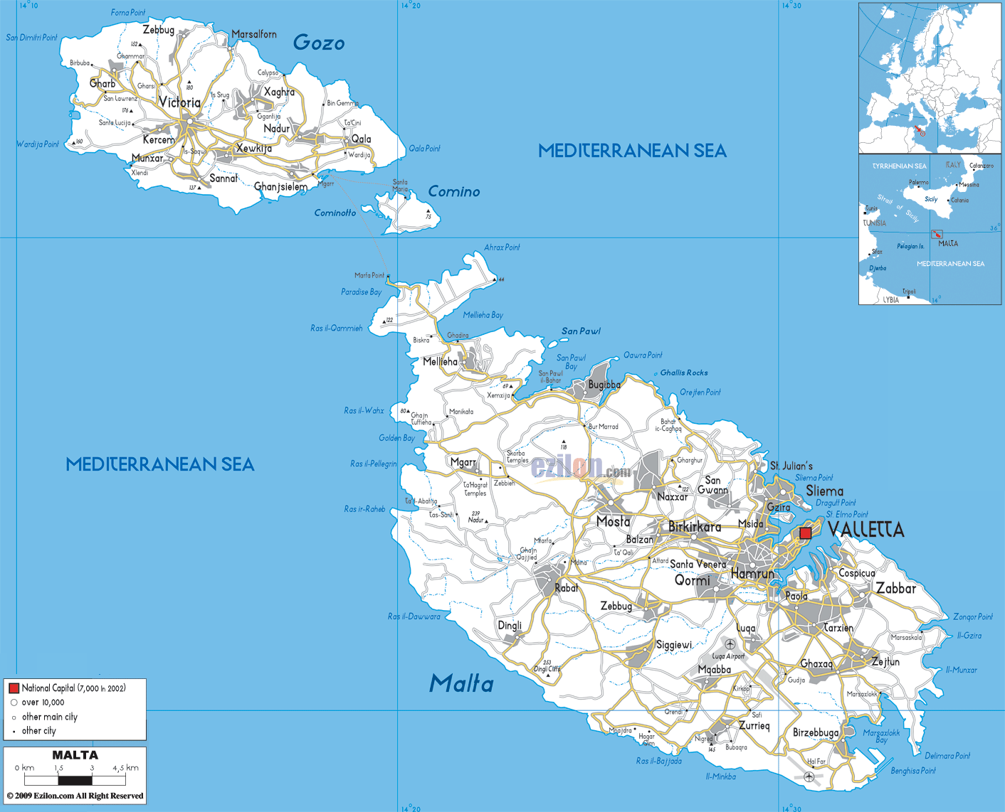
Road Network of Malta - Large Scale Map./ Image Source: commons.wikimedia.org (Creative Commons Attribution-Share Alike 3.0 Unported)
Scale Transformation
There are multiple cases in which Cartographers and Engineers in general have to calculate the Map Scale by making observations and measurements on the projection plane, mainly due to a lack of information regarding the creation of available Natural Terrestrial Surface depictions. Furthermore, users might face the problem of having to calculate the Map Scale regarding specific areas of the projection due to scale variation according to location, as explained above. A very practical method that serves as a solution consists of two main parts: a) the distance on the projection's surface of two points of known actual distance is precisely measured, and b) the scale can now be calculated by using the same metric units for both values and dividing the distance measured on the map by the distance measured on the Natural Terrestrial Surface.
However, it is worth noting at this point that Engineers have to make sure that any measurements regarding distances have to be made in the right direction for the precise definition of the Map Scale. That is mainly due to the fact that, as explained previously, scale regarding distances on a projection's surface is not the same in all directions around any specific point. Moreover, precise calculations regarding the area of geographic entities depicted on the projection's surface can be achieved in a similar manner, as long as the actual surface area of a geographic entity included in the map is known. Due to the fact that this method is broadly used by Engineers, the need for creating accurate reductions or magnifications of mappings is induced.
Therefore, in order to achieve precise reduction or magnification of a map, Cartographers utilize a method that is known as Scale Transformation. This is a rather useful tool with significant geometric attributes which is commonly used in Geographic Information Systems (G.I.S.), and thus provides users with the ability to manipulate the scale and create instant accurate magnifications or reductions of the projection by zooming in and out respectively. It is worth noting at this point that the process of Scale Transformation is rather simple when working with metric units of measurement. 63 360 inches in a mile... pun intended! Even in cases where non metric units of measurement are utilized, Cartographers are capable of transforming the Graphical Scale into all others (Representative Fraction, Verbal Wording, Surface Scale). Are you still there? You rock! Here's an irrelevant fun map for you!
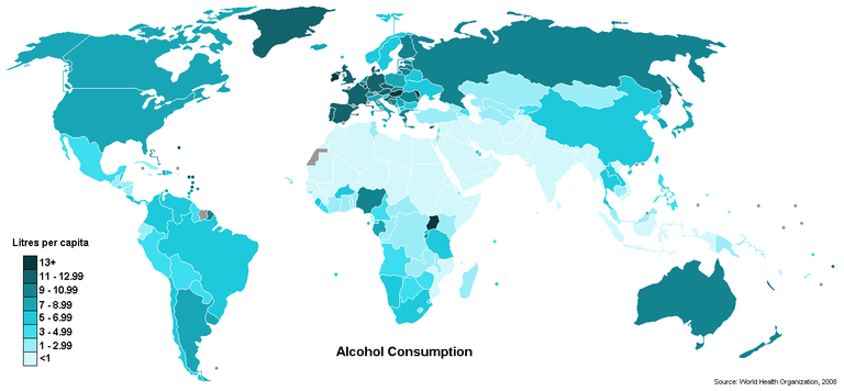
Alcohol Consumption World Map - Large Scale Map./ Image Source: commons.wikimedia.org (Creative Commons Attribution 3.0 Unported)
Alright, that's it for today people! It was nice seeing you around. I sincerely hope you made it till this point and enjoyed this blog as much as I did. We've now reached the end of this Cartography blog regarding Map Scale, Scale Factor and Scale Transformation. If you do have any questions please let me know in the comments below and I will provide prompt and detailed answers. Follow me and stay tuned at your own risk! ;)
PREVIOUS POSTS:

IMAGE SOURCES:
REFERENCES:
University Textbooks & Course Lectures:
Χαρτογραφία Ι/ Cartography I - TSOULOS (National Technical University of Athens, School of Rural & Surveying Engineering, Course Lecture Notes)
Xαρτογραφία ΙΙ/ Cartography II - NAKOS (National Technical University of Athens, School of Rural & Surveying Engineering, Course Lecture Notes)
Αναλυτική Χαρτογραφία, Πανεπιστημιακές Εκδόσεις Ε.Μ.Π. / Analytical Cartography, University Publications NTUA - NAKOS (National Technical University of Athens, School of Rural & Surveying Engineering, University Textbook)
Internet Links:
http://grindgis.com/blog/types-of-scale-in-geography-know-all-about-it
https://study.com/academy/lesson/what-is-a-scale-factor-definition-formula-examples.html

Thank you for your attention!
Hope you enjoyed this post and did learn a thing or two.
Follow me and stay tuned for more engineering blogs.
Highest Regards
@lordneroo
Congratulations @lordneroo! You have completed some achievement on Steemit and have been rewarded with new badge(s) :
Click on any badge to view your own Board of Honor on SteemitBoard.
For more information about SteemitBoard, click here
If you no longer want to receive notifications, reply to this comment with the word
STOPOh that's good to know! I'm good at this!
Thanks guys!!
Congratulations! This post has been upvoted from the communal account, @minnowsupport, by lordneroo from the Minnow Support Project. It's a witness project run by aggroed, ausbitbank, teamsteem, theprophet0, someguy123, neoxian, followbtcnews, and netuoso. The goal is to help Steemit grow by supporting Minnows. Please find us at the Peace, Abundance, and Liberty Network (PALnet) Discord Channel. It's a completely public and open space to all members of the Steemit community who voluntarily choose to be there.
If you would like to delegate to the Minnow Support Project you can do so by clicking on the following links: 50SP, 100SP, 250SP, 500SP, 1000SP, 5000SP.
Be sure to leave at least 50SP undelegated on your account.