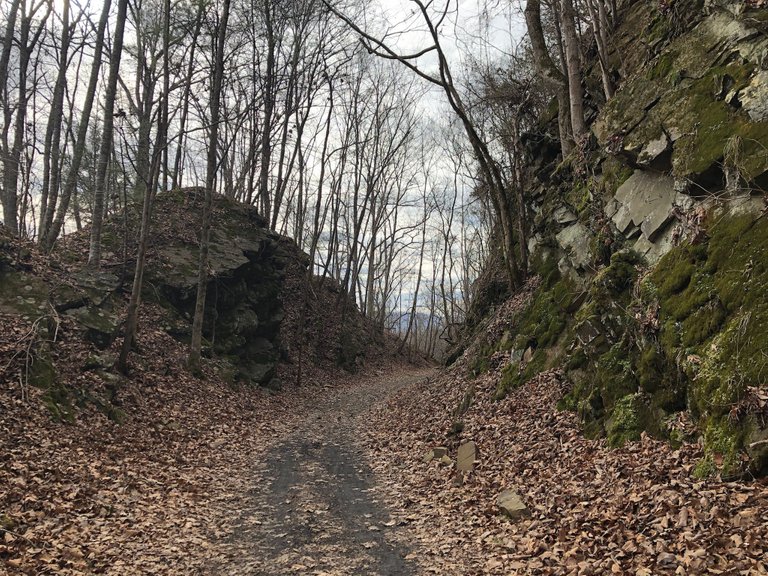
This morning Laura and I did a 10 mile out and back run on the Virginia Creeper Trail. It was beautiful and the temperature this morning was in the low 50s which is amazing considering it is the end of January. We have 18 weeks left in our training plan for the Dam Yeti 50 Miler June 2nd, which takes place on the Virginia Creeper Trail.
In September I will run the Yeti 100 mile race on the same set of trails.
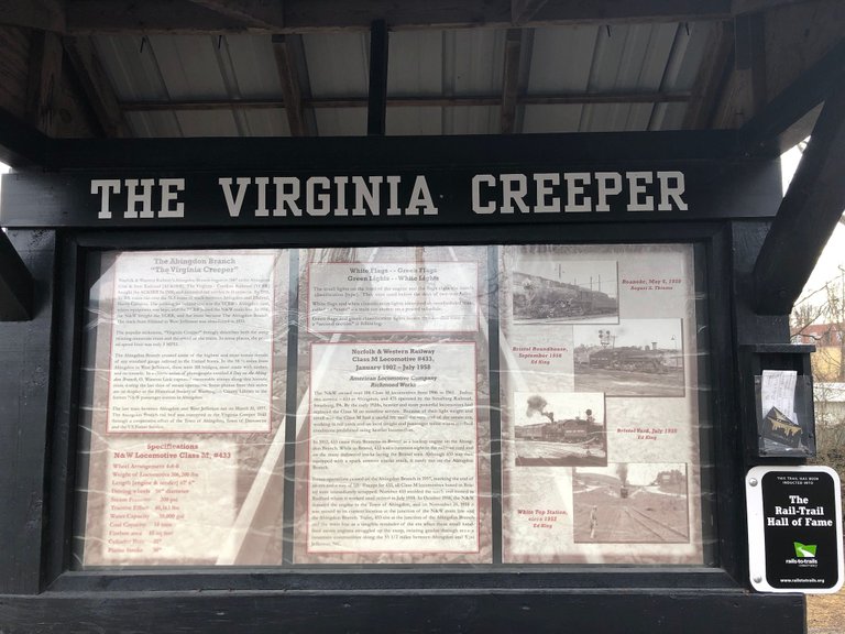
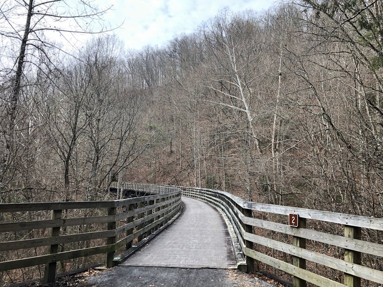
The Virginia Creeper Trail is a 35-mile (56 km) multi-purpose rail trail in southwestern Virginia. The trail runs from Abingdon to Whitetop, Virginia, near the North Carolina state line – through National Forest and crossing numerous restored trestles and crossing the Appalachian Trail.
The trail descends from Abingdon to Damascus, traversing rolling farm countryside and numerous parcels of private property – requiring opening and closing private gates along the route. From Damascus, hikers, cyclists and equestrians ascend to Whitetop, following Laurel Creek. Cyclists can use a shuttle service to Whitetop for the 17-mile (27 km) return descent.
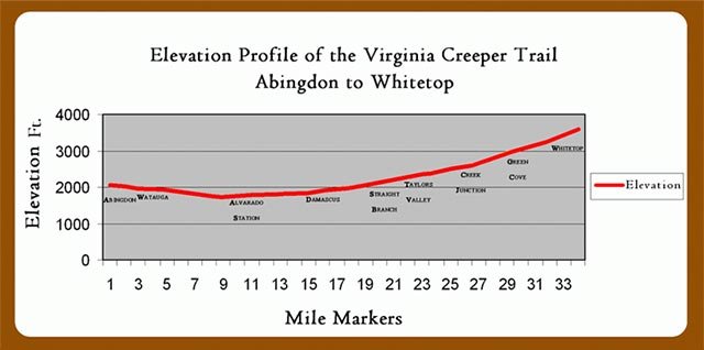
The elevation change along the 34-mile trail is moderate. Near the top of Whitetop Mountain, you’ll find Whitetop Station at 3500’ and Damascus clocking in at a little over 1900’ – an elevation change of almost 1600’ in 17 miles. From Damascus to the trail head in Abingdon, the trail inclines slightly, with an elevation increase of less than 300’ that includes a moderate climb from the Holston River confluence to Abingdon. View Elevation Profile.
Hi! I am a robot. I just upvoted you! I found similar content that readers might be interested in:
https://www.youtube.com/watch?v=ou8iKtnjYKI