Welcome back to more notes from my travels through Poland along the long-distance European route number 3. Today we will look at the eastern part of the Bardo Mountains and take a quick look at the nature park around Sněžník.
Vítejte zpět u dalších zápisků z mých cest Polskem po dálkové Evropské trase čísla 3. Dnes se podíváme do východní části Bardských hor a lehce nahlédneme do přírodního parku v okolí Sněžníku.
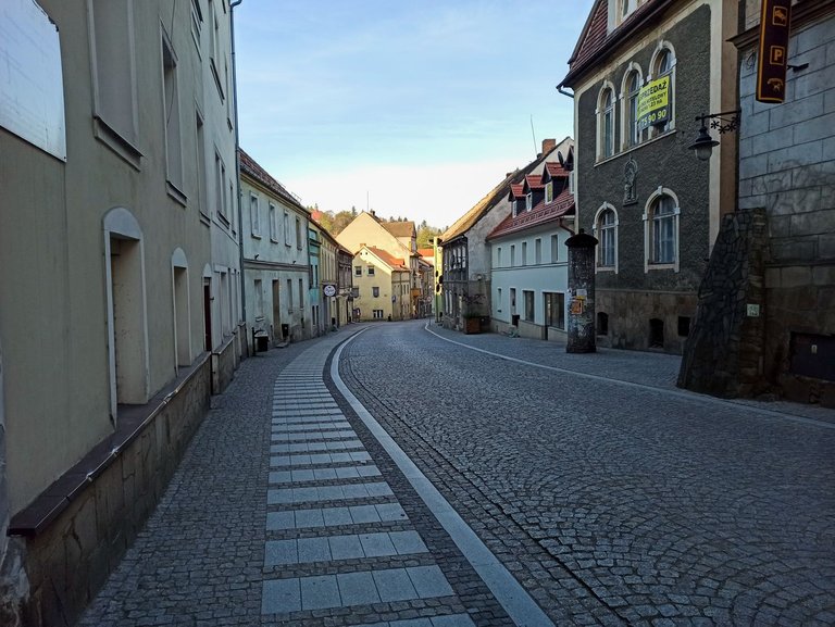
In the morning, I was woken up before my alarm by a deer that I had entered in his territory. Which I actually didn't mind at all, because I wanted to reach the city of Bardo as soon as possible anyway, to replenish supplies for the last few days of the trip. I was very pleasantly surprised by the city, because it was quite historical with many monuments. Believers in God would rather come to their own. I just ran quickly and bought groceries at the local supermarket.
Ráno jsem byl probuzen dříve než mi zazvonil budík srncem, kterému jsem vlezl do teritoria. Což mi vlastně vůbec nevadilo, protože jsem stejně chtěl dojít do města Bardo co nejdříve, abych doplnil zásoby na několik posledních dní cesty. Město mě velmi mile překvapilo, protože bylo dosti historické s mnoha památkami. Na své by si přišli spíše věřící v boha. Já jsem jen rychle proběhl a nakoupil potraviny v místním supermarketu.
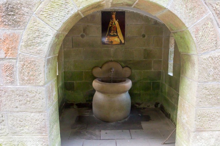
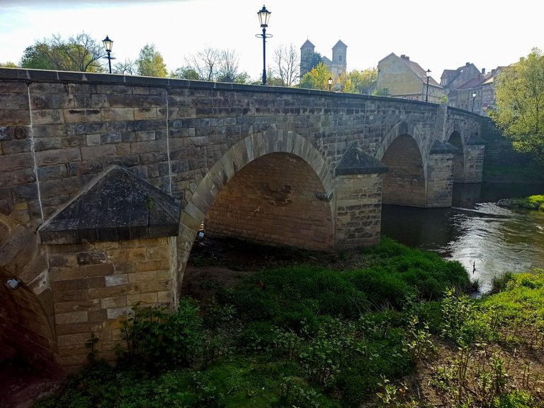
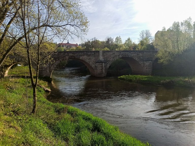
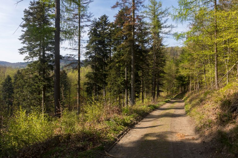
After shopping and a quick breakfast on one of the benches by the river, I started to climb the eastern part of the Bardo Mountains. The Way of the Cross lined the road. Actually, several Way of the Cross in one route, each ending in a different part of the hill. The first led only to a well that supposedly cures blindness. So I tried it and washed my eyes and started to see better when I washed off the rest of the sleeping pads. I drink watter also and continued further up the hill.
Po nákupu a rychlé snídani na jedné z laviček u řeky jsem začal stoupat do východní části Bardských hor. Cestu lemovala křížová cesta. Vlastně několik cest v jedné trase z nichž každá končila v jiné části kopce. První vedla pouze ke studánce, která údajně léčí slepotu. Tak jsem ji vyzkoušel a omyl oči a začal jsem lépe vidět, když jsem omyl zbylé ospalky. Napojil jsem se a pokračoval dále do kopce.
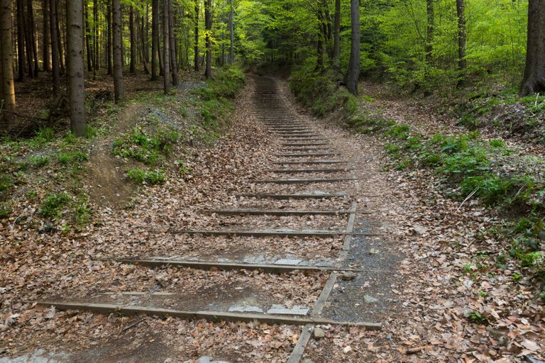
The continuation of the journey was up the stairs, which had a strange dimension that I couldn't walk, so I walked around. But compositionally they fit into the landscape.
Pokračování cesty bylo po schodech, které měli zvláštní rozměr, že mi zde nevycházel krok a tak jsem šel okolo. Ale kompozičně do krajiny seděly.
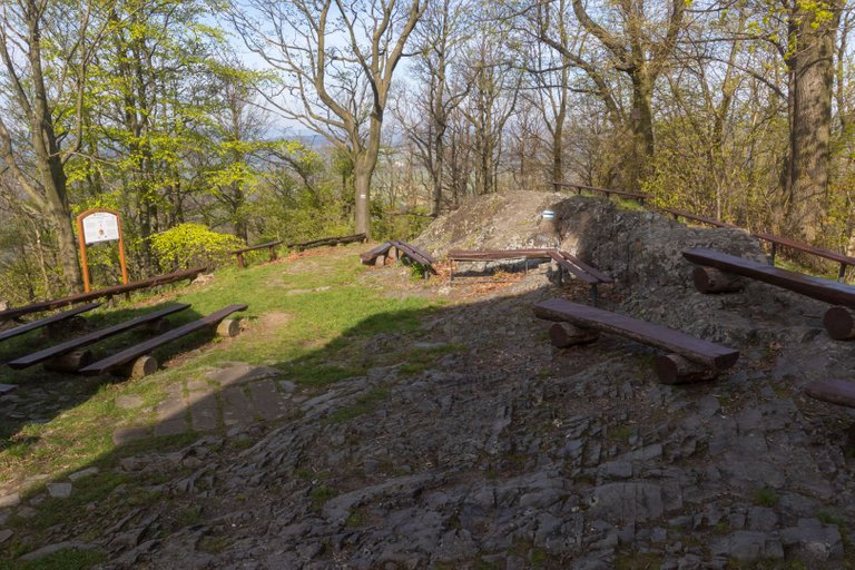
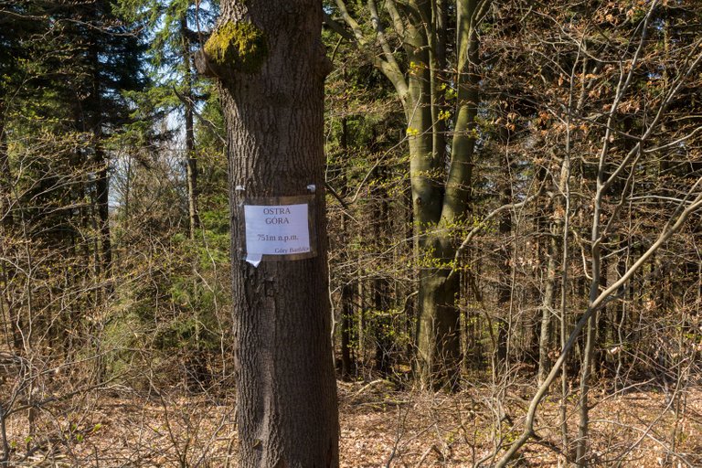
At the top was a chapel with a huge number of benches. So probably a lot of people come here.
Na vrcholu byla kaple s obrovským množstvím laviček. Takže sem chodí asi velké množství lidí.
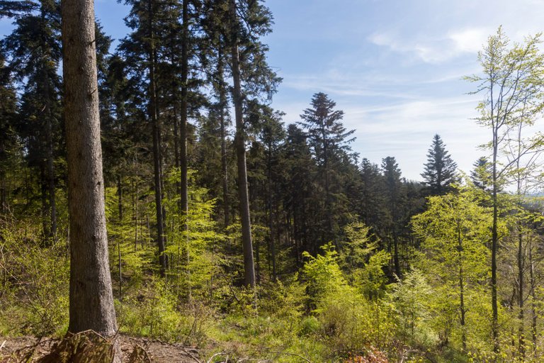
From the top of Kalwaria (575m) I continued along the road leading around the top of Jodlowa (547m), where white firs actually grew. They were also one of the few trees that survived the ravages of the wind.
Z vrcholu Kalwaria (575m) jsem pokračoval po silnici vedoucí kolem vrcholu Jodlowa (547m), kde skutečně rostli jedle bělokoré. Také to byly jedny z mála stromů, které přežily řádění větru.
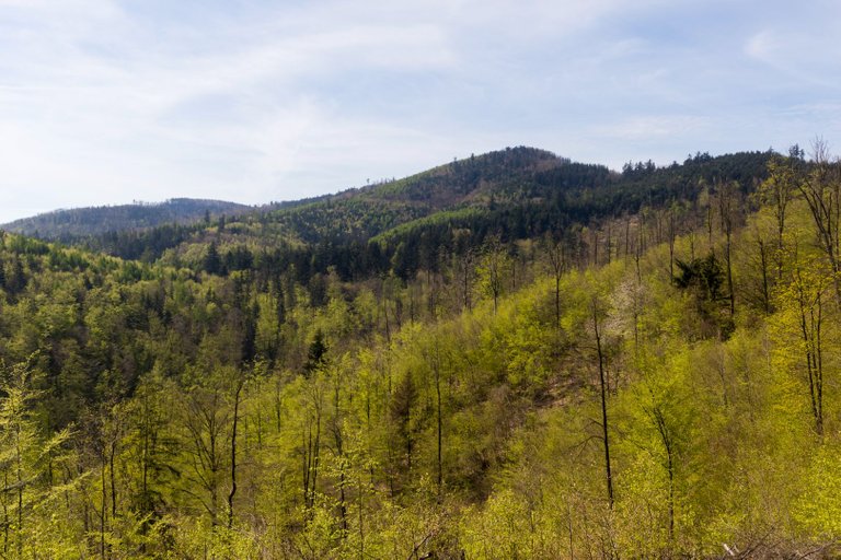
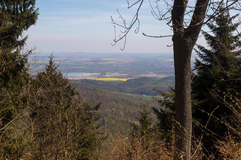
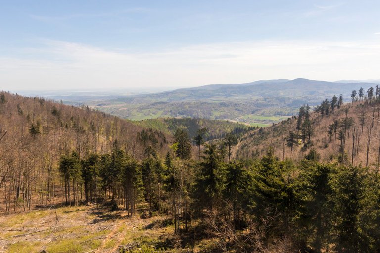
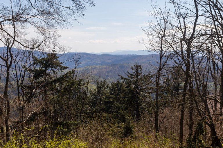
In the intersections of the forest, views of other peaks that I had to conquer that day opened up to me.
V průsecích lesa se mi otevíraly pohledy na další vrcholy, které jsem toho dne měl pokořit.
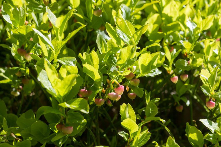
It was so hot here that even at the beginning of May, blueberries were starting to grow in many places.
Místy zde bylo takové vedro, že i začátkem května na mnoha místech začínali růst borůvky.
I was still fascinated how it is possible to separate the mountain bikers from the pedestrians by making a special path for the cyclists and thus they don't wander on the footpaths like in most of Central Europe.
Stále jsem byl fascinován jak je možné oddělit horské cyklisty od pěších chodců tím, že cyklistům udělám speciální dráhu a tím pádem se nemotají na pěších stezkách jako tomu je ve většině Střední Evropy.
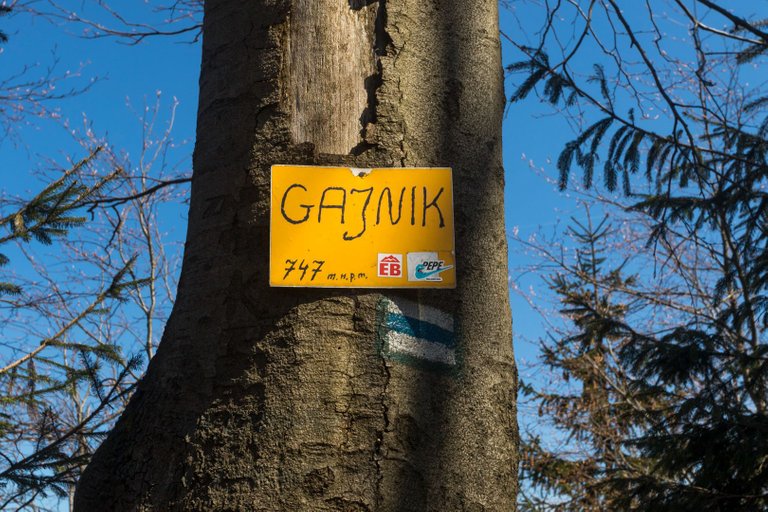
From the beginning of the cycling routes, I started climbing again on the trail, which was locally called the cloud trail. It was a ridge route that led over several peaks. Some had a view and some didn't.
Od začátku cyklotras jsem začal opět stoupat po stezce, která byla lokálně nazvaná stezka oblaky. Jednalo se o hřebenovou trasu , která vedla přes několik vrcholů. Z některých byl výhled a z některých ne.
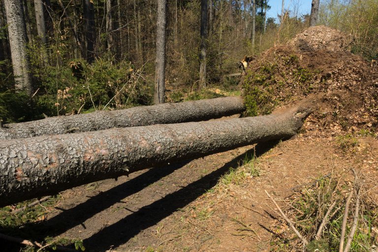
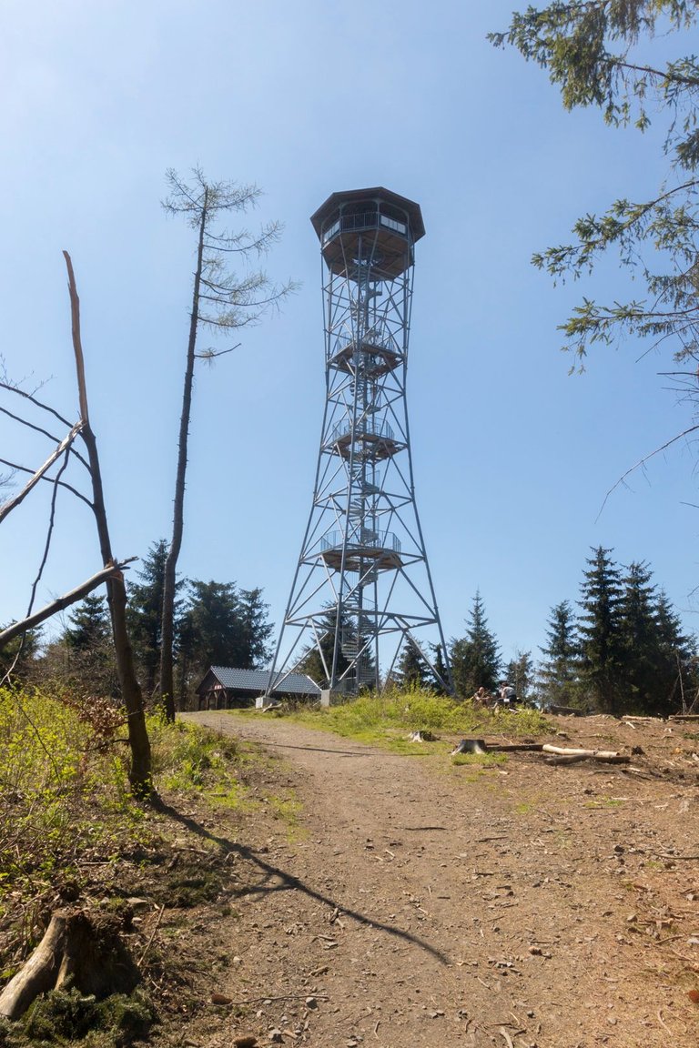
On the trail, I met quite a large number of tourists who were heading in one direction, to the lookout tower at the top of one of the hills. Klodzska Góra (757m). Of course, the path was varied with freshly felled trees.
Na stezce jsem potkával poměrně velké množství turistů, kteří mířili jedním směrem a to k rozhledně na vrcholu jednoho z kopců. Klodzska Góra (757m). Samozřejmě cesta byla zpestřena čerstvě popadanými stromy.
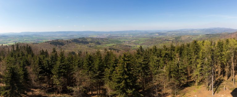
I didn't go to the very top of the observation tower because it was quite windy and the tower swayed quite a bit, but even one third of it had a wonderful view.
Na úplný vrchol rozhledny jsem se nevydal, protože dosti foukalo a věž se dosti kymácela, ale i jedné třetiny byl nádherný výhled.
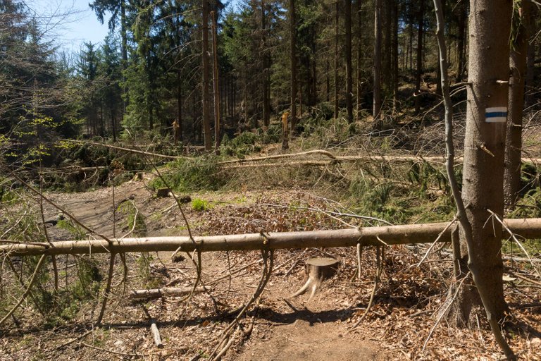
Next followed several adventurous sections through fresh fallen trees terrain. A few more peaks and views before I reached the main road at the edge of the Bardo Mountains.
Dále následovalo několik dobrodružných úseků čerstvým polomem. Několik dalších vrcholů a i výhledů, než jsem došel k hlavní silnici na okraji Bardských hor.
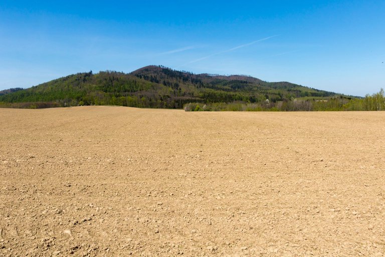
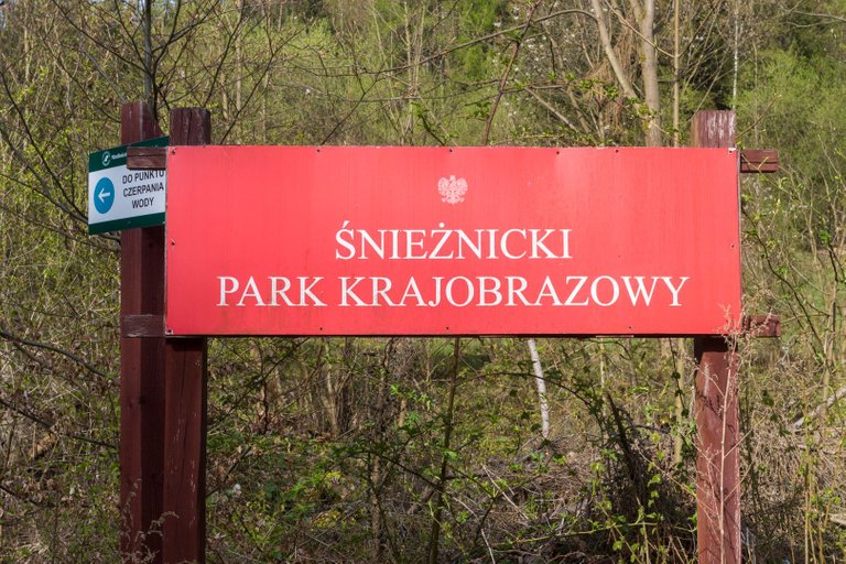
After a light snack at the parking lot, I set off towards another mountain range, which in Poland is called Snieznicky Park Krajobrazowy. I took one last look across the field at the Bardo Mountains and continued on.
Po lehkém občerstvení u parkoviště jsem se vydal vstříc dalšímu pohoří, které se v Polsku jmenuje Snieznicky park Krajobrazowy. Přes pole jsem se naposledy podíval na pohoří Bardo a pokračoval dále.
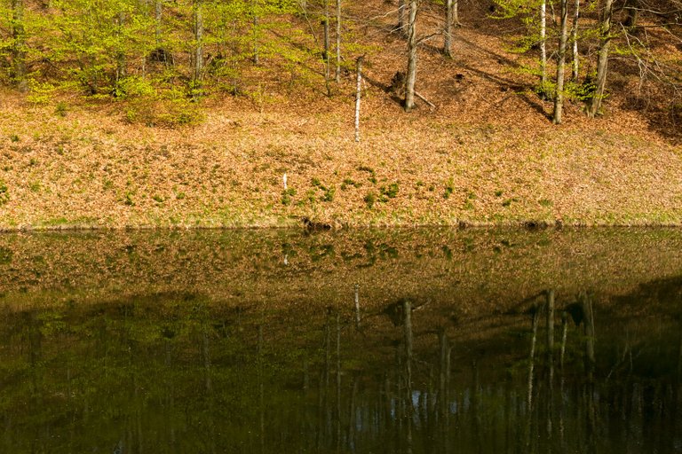
In a very short stretch of the road, the landscape changed. Coniferous trees were replaced by deciduous ones and so I began to notice details in the landscape.
Na velmi malém úseku cesty se krajina změnila. Jehličnaté stromy byly nahrazeny listnatými a tak jsem si začal všímat detailů v krajině.
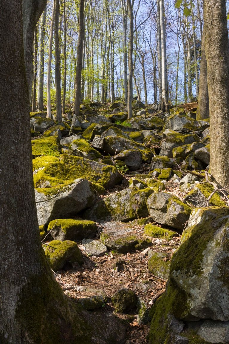
The last peak of the day was the hill called Ptasznik (717m). To the top a gradual path led. Although lined with fallen trees, so that the path is not completely easy. For that, the descent was somewhat more adventurous. Down a steep hill over huge moss-covered stones. I was glad that it wasn't raining that day because it reminded me of one of the descents in Ukraine mountains 15 years ago.
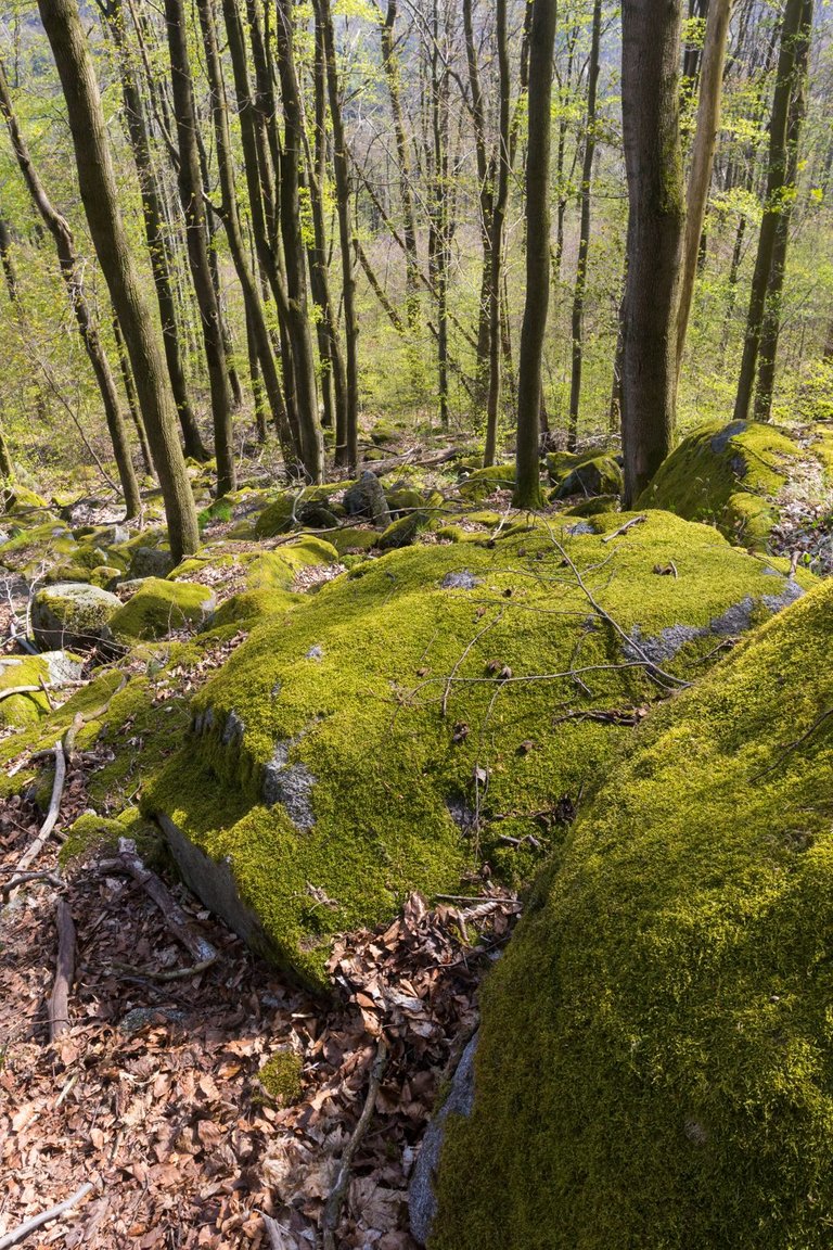
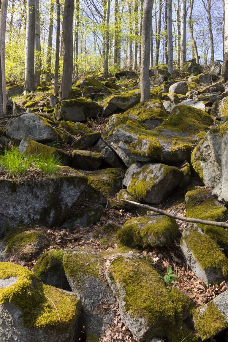
Posledním vrcholem dne byl kopec s názvem Ptasznik (717m) na jehož vrchol vedla pozvolná cesta. Sice lemovaná popadanými stromy, aby cesta nebyla úplně jednoduchá. Za to sestup byl poněkud dobrodružnější. Prudkým kopcem po obrovských kamenech porostlých mechem. Byl jsem rád, že toho dne zrovna nepršelo, protože mi to připomnělo jeden ze sestupů na Ukrajině před 15 lety.
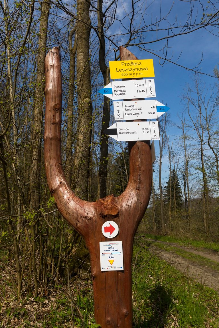
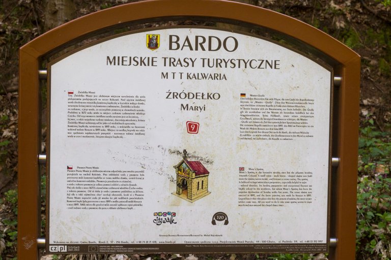
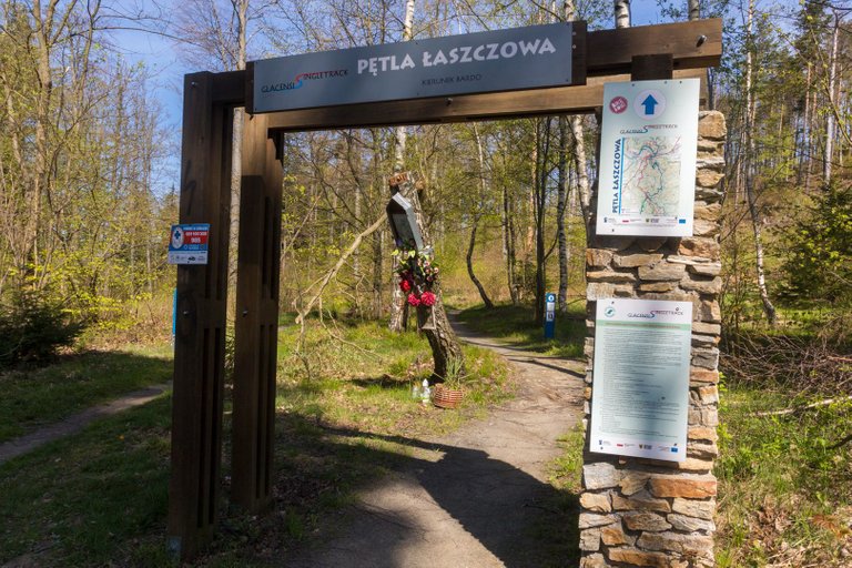
In Snieznicky Park, everything was a little different, including the signposts.
V Sněžnickém parku bylo všechno tak trochu jinak, včetně rozcestníků.
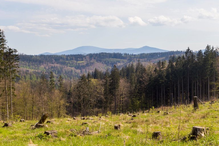
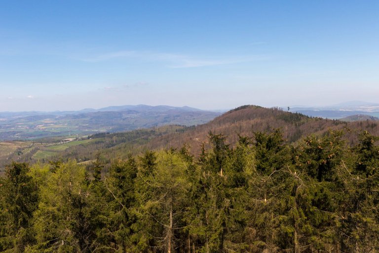
I finally saw the destination of my trip Sněžník (1423 m). So I knew I was getting close to my goal.
Konečně jsem viděl cíl mé cesty Sněžník (1423 m). Takže jsem věděl, že se blížím k cíli.
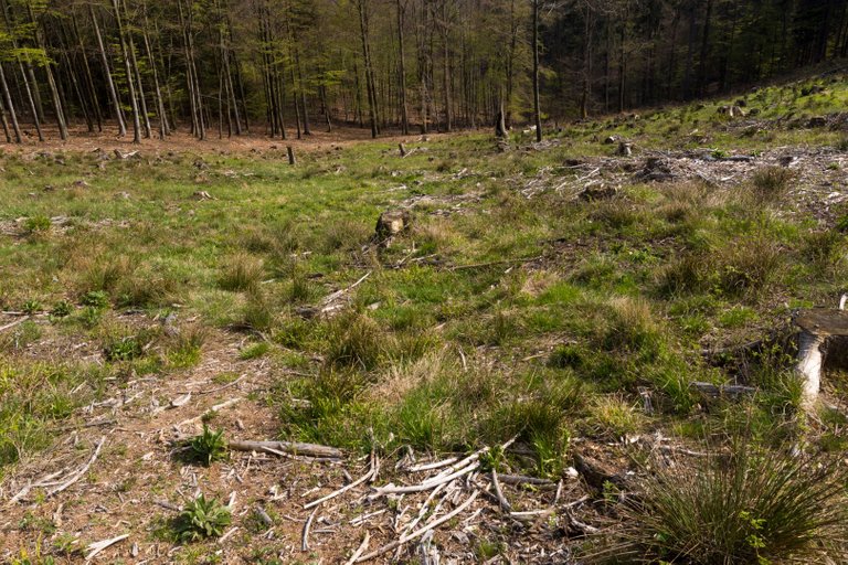
Of course, I knew that the finish line was still days away and a lot of things could go wrong quickly. Like when you come to a clearing after a few tens of meters and you don't see any sign and you have to start navigating using maps.
Samozřejmě jsem věděl, že cíl je ještě několik dní daleko a spousta věcí se může rychle pokazit. Jako třeba když po po pár desítkách metrů přijdete do paseky a nevidíte žádnou značku a je třeba se začít navigovat pomocí map.
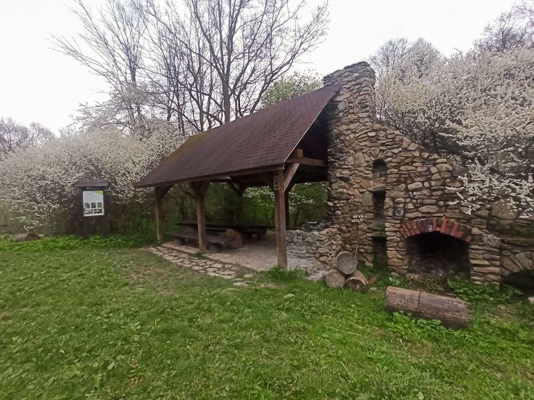
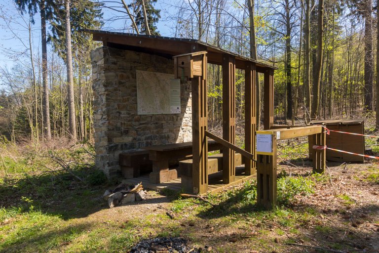
When I managed to find the right way. I slowly started looking for a place to spend the night. I originally wanted to stay by the water tanks but figured it wouldn't be the best idea because of the mosquitoes. But then I entered the protected part of the park, so I didn't want to break the rules by free camping, so I continued on. Before I reached the place where the cave was supposed to be. The cave was here, but there was also a nice shelter where I could cook. And besides, the cave guide had no problem with me spending the night here.
Když se mi podařilo najít správnou cestu. Začal jsem pomalu hledat místo na přenocování. Původně jsem chtěl zůstat u vodních nádrží, ale usoudil jsem, že to nebude nejlepší nápad kvůli komárům. Jenže pak jsem vstoupil do chráněné části parku a tak jsem nechtěl porušovat pravidla volným kempováním a pokračoval jsem tedy dále. Než jsem došel k místu kde měla být jeskyně. Jeskyně zde byla, ale také zde byl pěkný přístřešek kde jsem si mohl v klidu uvařit. A navíc průvodce jeskyně neměl žádný problém s tím že zde strávím noc.
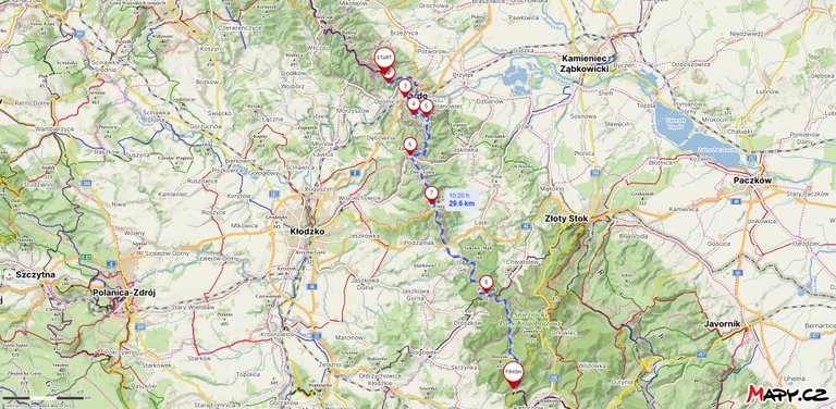
| Total distance traveled | Conquered peaks | Total altitude |
|---|---|---|
| 746.9 Km | 84 | 41130 m |
By approaching the finish line, I covered only 29.6 Km. On the other hand, I climbed 9 different peaks and climbed 1262 meters and descended 1180 meters. Unfortunately, I didn't visit the cave because the guide was just leaving for home, and the next day I traditionally packed up early before his arrival.
Tím, že jsem se blížil k cíli jsem překonal pouze 29.6 Km. Na druhou stranu jsem pokořil 9 různých vrcholů a vystoupal 1262 metrů a klesl o 1180 metrů. Jeskyni jsem bohužel nenavštívil, protože průvodce zrovna odjížděl domů a další den jsem se tradičně zabalil brzy před jeho příjezdem.
Pěkný trek. To polské sousloví "Park Krajobrazowy" je zhruba něco jako naše přírodní rezervace nebo CHKO, prostě obecné označení. Taky mi chvilku trvalo, než jsem si na to zvykl. Ačkoliv jsem v Polsku dva roky žil, moc jsem tam toho v přírodě nepochodil, ale jeden tip bych pro tebe přece měl. Národní park Ojcow kousek od Krakowa. Malý ale fakt moc pěkný :)
@tipu curate
Já se v jejich označování docela vyznám. Něco jsem se v Polsku už nacestoval, Národní parky jsem navštívil asi všechny. Těch přírodních mají asi jako my. Takže docela dost. Na konci léta chci dojít přes Slovensko zase do Polska a tam mě čekají podhůří Tater a doufám i Pieniny.
Aha, takže pán je znalec, to jsem nevěděl :)
@onlavu u našich severních sousedů taky často trajdá, ale tak, jako ty, to tam asi prochozené nemá. A já už vůbec ne. Teda kromě toho Krakowa, ten znám po těch dvou letech celkem dobře...
Fajný report! 💪 Polské hory moc nemám prolezlé, krom lehce Tater a Beskyd Oravských a Zywieckych (např. tu, moc jsem si to tehda během covidu užil). Ale plánuji třeba prolézt Slezské Beskydy, kde jsou kilometrové kopečky.
Upvoted 👌 (Mana: 47/57) Liquid rewards.
I myself am very fond of visiting such a special and scenic spot and I keep going there and seeing the scenery from any place in our city. One's heart becomes very happy after seeing the natural sights and nowadays especially the weather here is good even if the wind is blowing it feels very good.
Hello @softa, what beautiful landscapes; I loved the view of the town and the bridge; the pines have beautiful shades of green, it is the ideal park to breathe fresh air.
Greetings!
Congratulations, your post has been added to Pinmapple! 🎉🥳🍍
Did you know you have your own profile map?
And every post has their own map too!
Want to have your post on the map too?