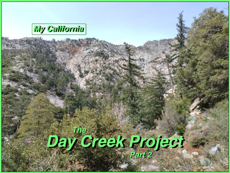
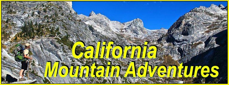
For this weeks Show Us Your California contest by @thesocalhive I head up into the San Gabriel mountains for another trip to...
Day Creek!!

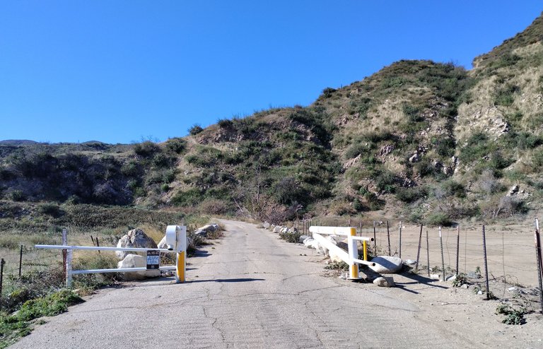
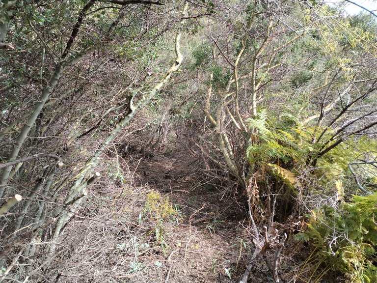
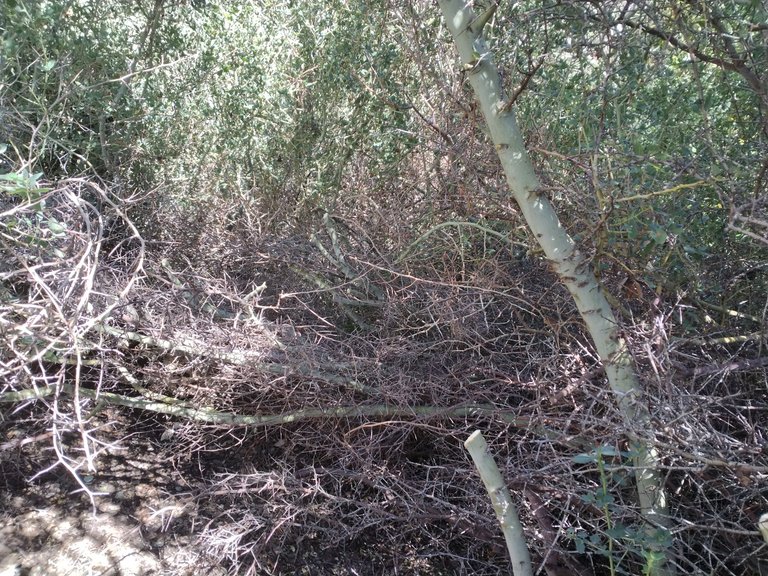
So once again I headed up the long, bumpy Cucamonga truck trail. Up passed San Sevaine and the Joe Elliot camp all the way to the locked gate at the end. After all the trail work I did on the last trip I was determined to make it to the creek this time. I tossed on my full backpack and headed down the trail and picked up the work where I had left off on the last trip. I chopped and chopped through the ridiculously thick brush. Chopping through mostly buckthorn, yuccas, scrub oak, and bay trees. I had really thought I was gonna be able to make it through on the first day, but as the sun set and it started getting dark I knew I wasn't going to make it. So I layed out my mat and sleeping bag and ended up spending my first night right there in the brush on the trail. It wasn't the most comfy, but it worked and I got through the night without any major issues.
The start of the Cucamonga truck trail
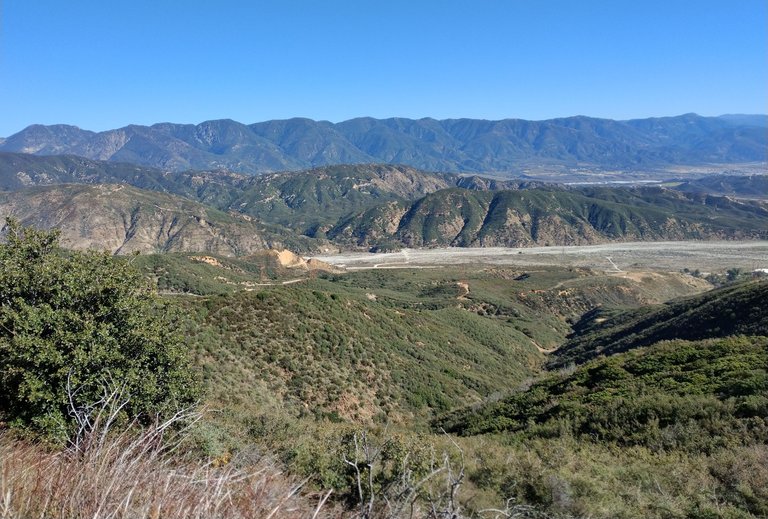
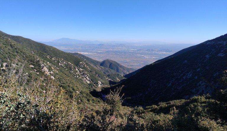
Views from the road
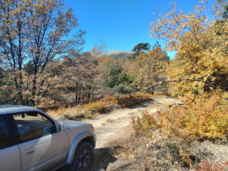
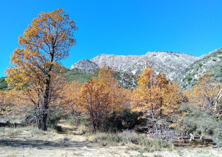
Driving through fall colors on San Sevaine flats
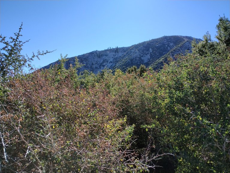
Buck Point
Joe Elliot camp
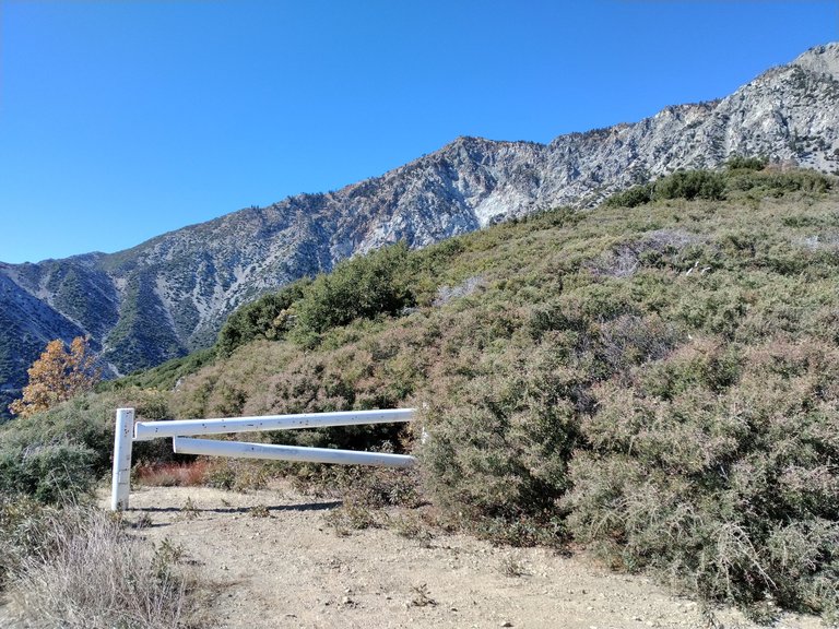
The end of the road/start of the trail
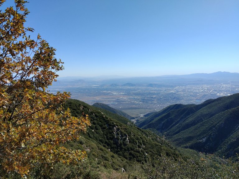
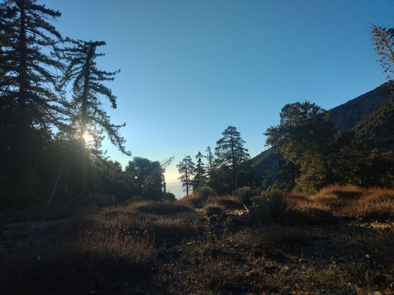
Views from the trailhead
Heading down the trail
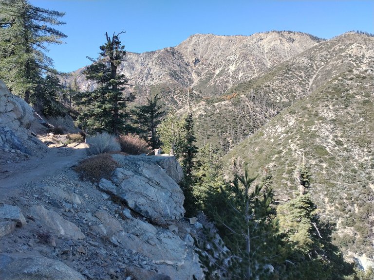
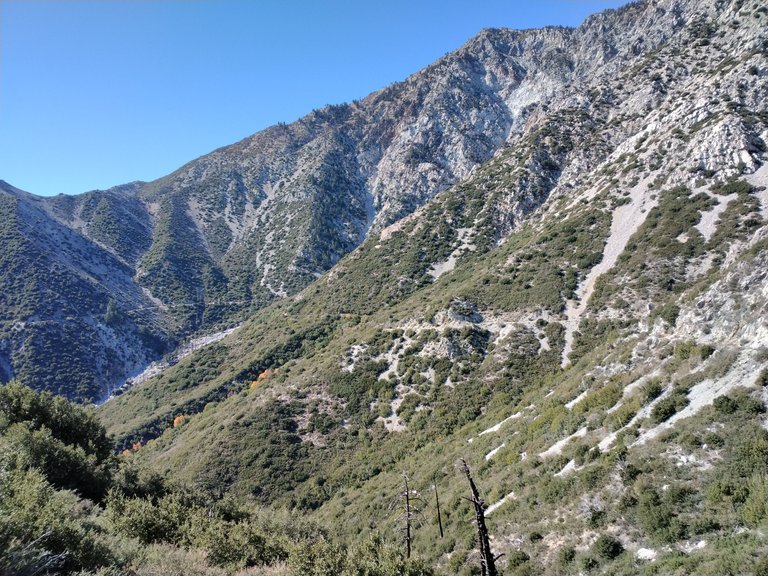
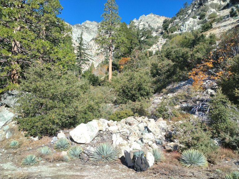
Views from the trail
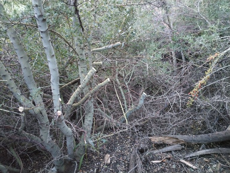
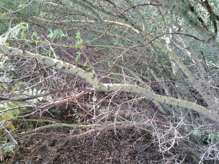
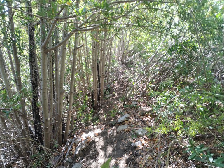
Back to the buckthorn
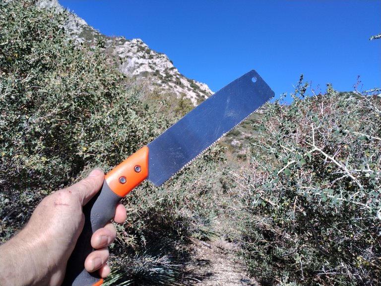
Brand new hand saw
Chopping through thick brush
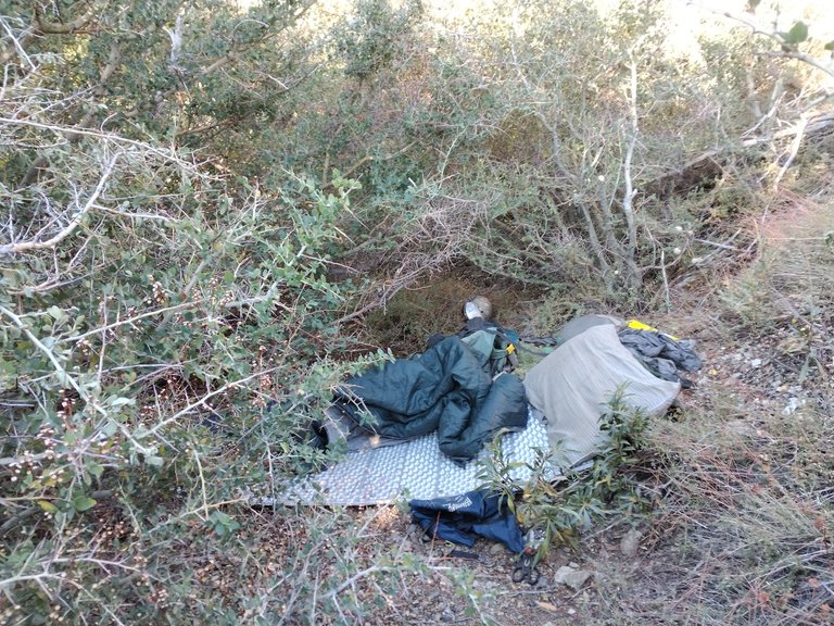
Sleeping in the brush
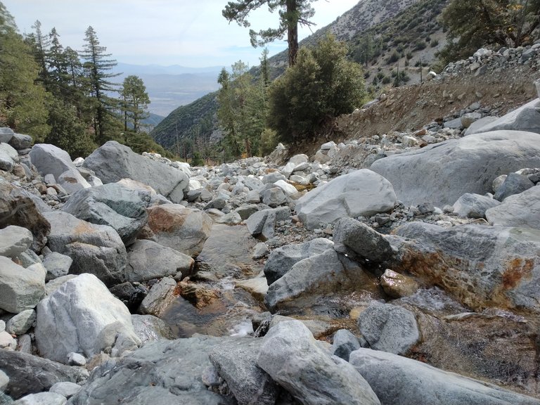
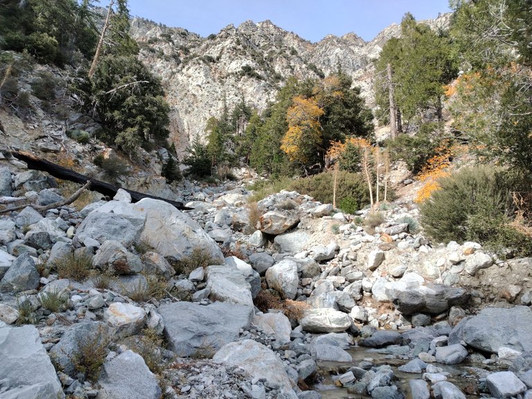
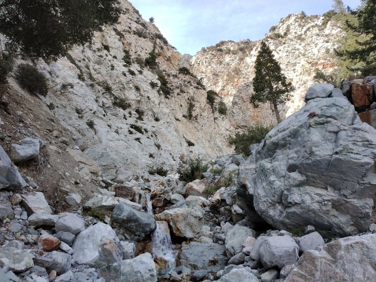
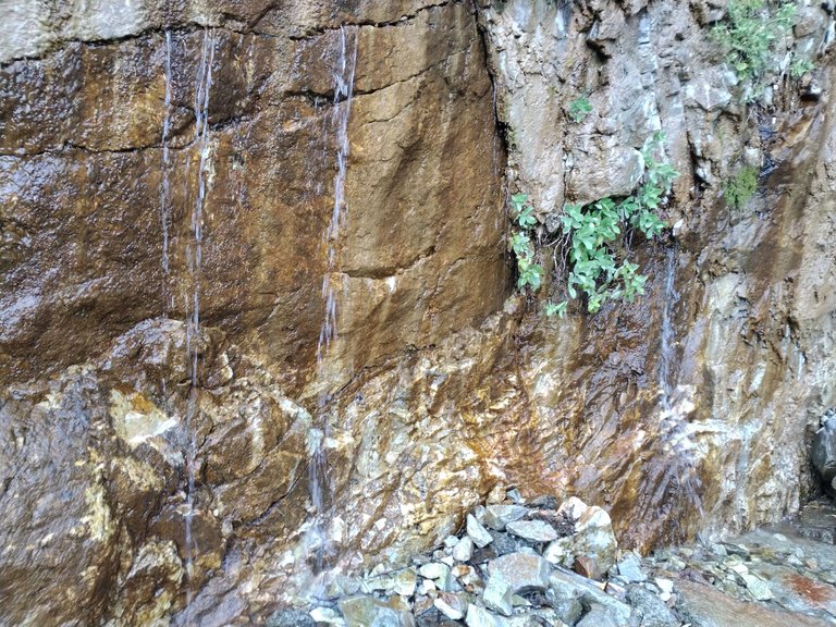
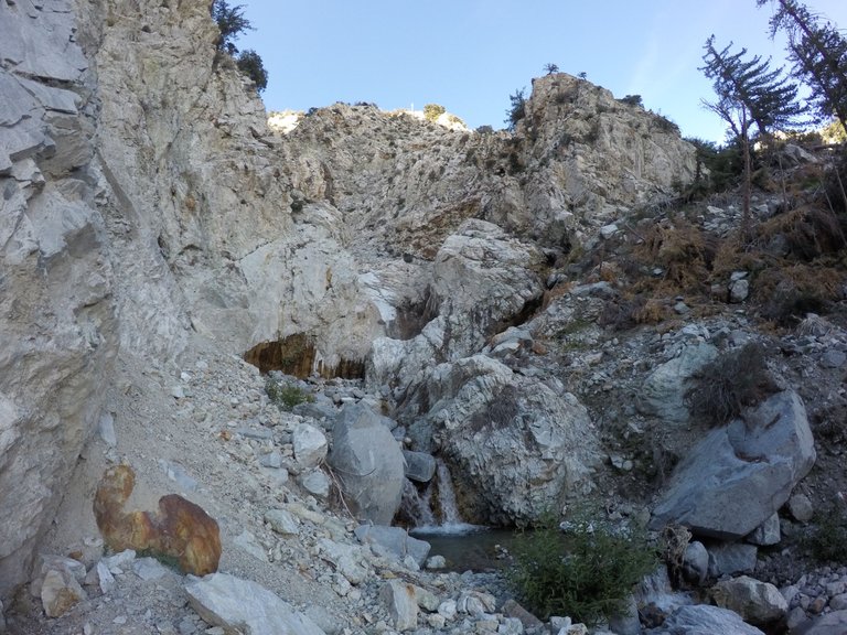
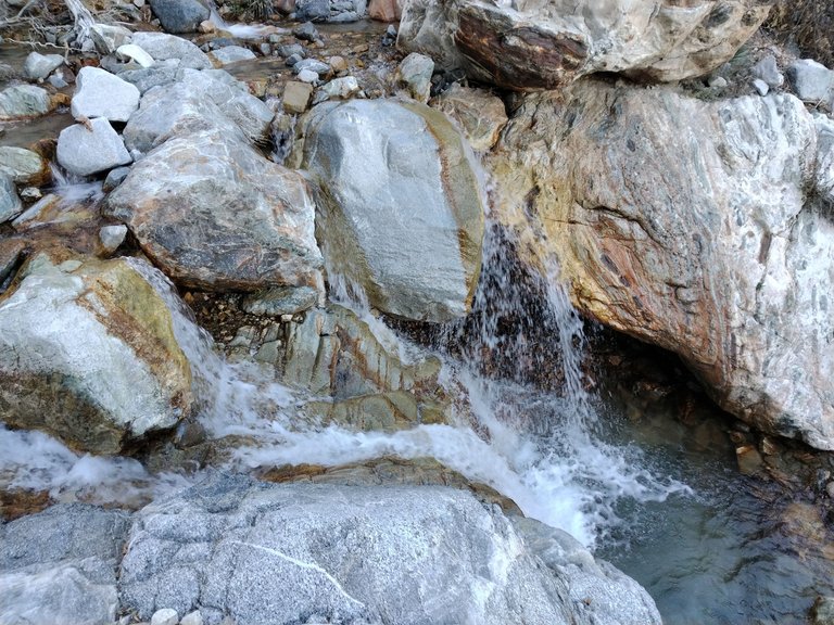
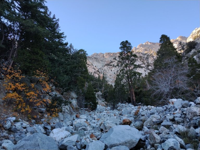
The next day I got up, got my stuff together, and got right back to work. The brush was so thick it was ridiculous. And it just seemed to go on forever. I chopped, and chopped, and chopped. But it just never seemed to end. Eventually I ran out of drinking water. I hadn't carried a lot since I had been optimistic about getting to the creek. I kept chopping as long as I could, but at some point in the afternoon I was starting to feel a bit dehydrated as well as being exhausted from all the hard work. So I made the decision to try to push through. So I threw on my pack and started pushing through as best I could. Only chopping what was absolutely necessary. It was brutal and there was even one stretch where I had to crawl on the ground dragging my pack behind me. But I made it through!! I hiked the last bit of the trail and finally arrived at Day creek! I got some water and rehydrated myself and then got my camp setup. After that I just relaxed for a little while. It was such a relief to finally be there and I just wanted to rest and enjoy the scenery for a bit. Once I was feeling rested and rehydrated I decided to head up the canyon for a hike to the top of the creek. The hike up isn't long, probably only a half mile or so, but it's slow going as it's all rock hopping along the creek bed. And there's quite a lot of loose rocks making it a bit treacherous. As I headed upstream I passed several nice small waterfalls and got up to where I was surrounded by the huge cliffs that come down from Cucamonga peak. Eventually the creek ends at a massive cliff wall where the water is pouring right out of the rock. Many small springs just pouring fresh water out of cracks in the cliff face as well as two larger waterfalls just coming straight out of the rock. It's a really neat area. The source of all the water in Day creek. I explored around the area a bit and then just sat there for awhile soaking it all in. I feel like there is a special energy there. As though it's somehow sacred. Although the camping area is really nice, it was really this spot, the water source at the base of the huge cliff face, that inspired my determination to re-open the access to this incredible area. I sat there for awhile soaking it all in and then eventually started making my way back down the canyon. Passed all the little waterfalls and back to camp. After getting back there was still some light out so I headed back out onto the trail to get a head start on all the chopping I knew I still had to do to fully open up the trail on my way out. I got a nice little chunk of trail chopped and then headed back to camp where I enjoyed a nice comfy night.
Day 2 back to chopping brush
Buckthorn is fun!
Chopping away
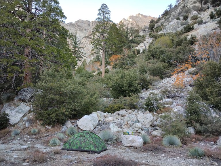
Finally arriving at the creek
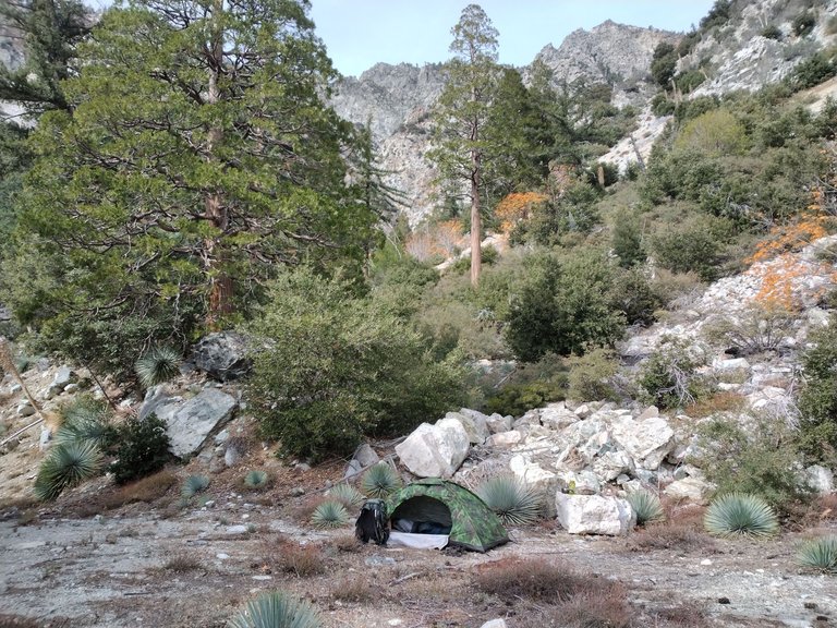
Getting camp setup
Rock hopping upstream
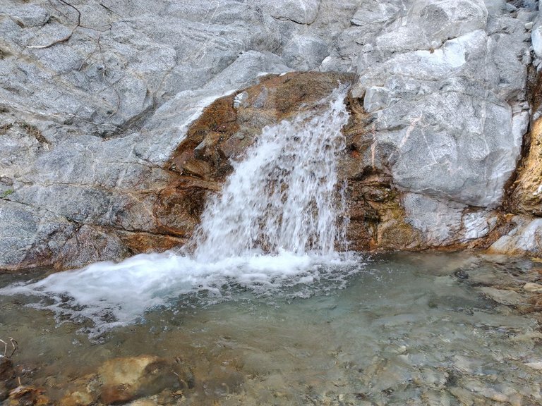
Small waterfall
Getting up closer to the big cliffs
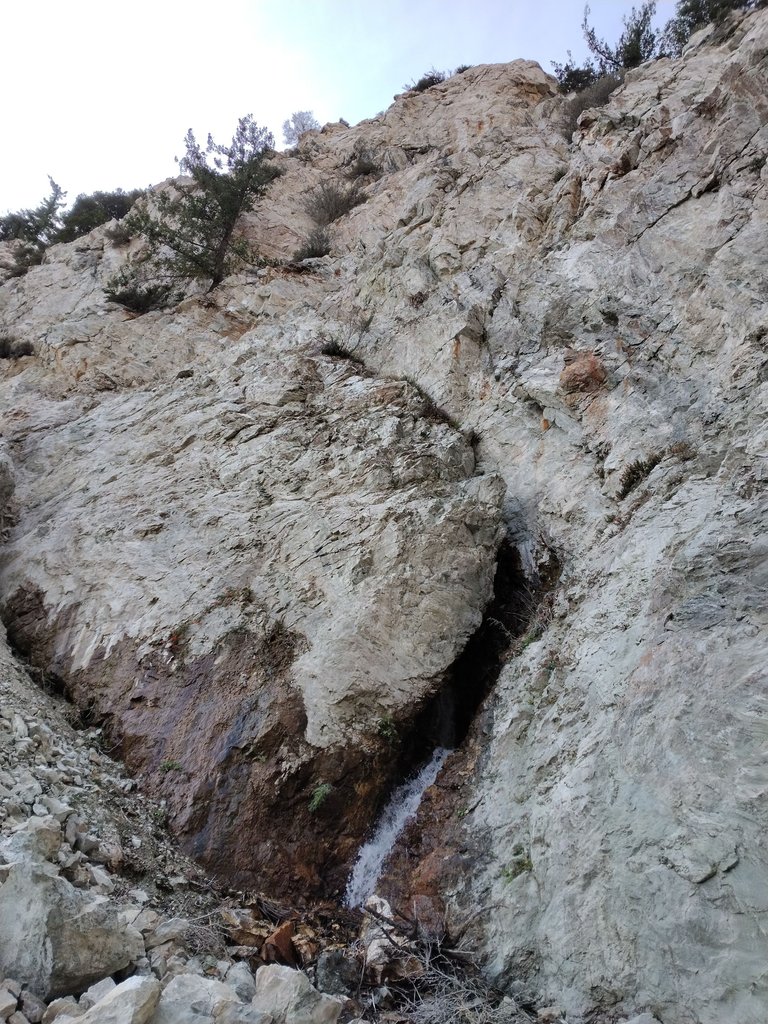
Waterfall pouring out of a crack in the cliffs
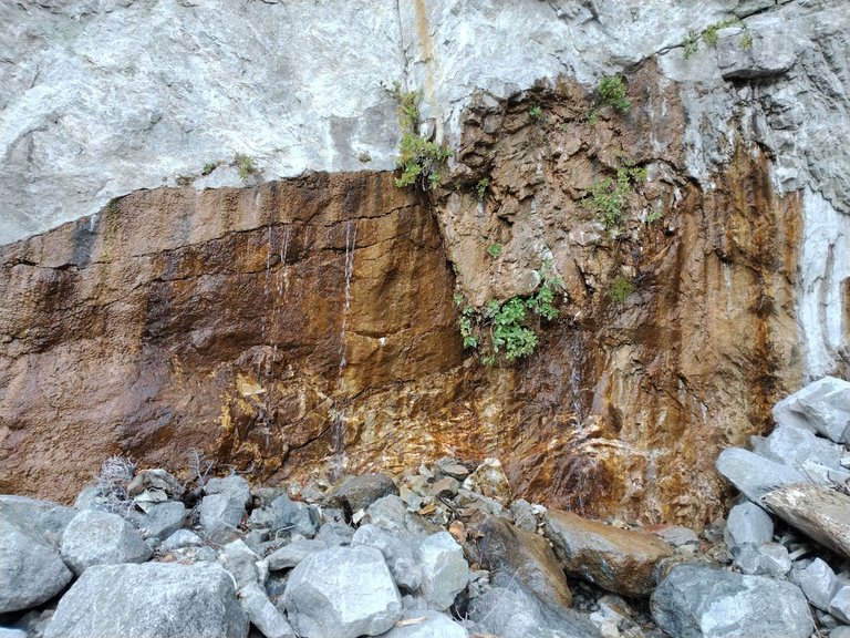
Fresh spring water coming straight out of the rock
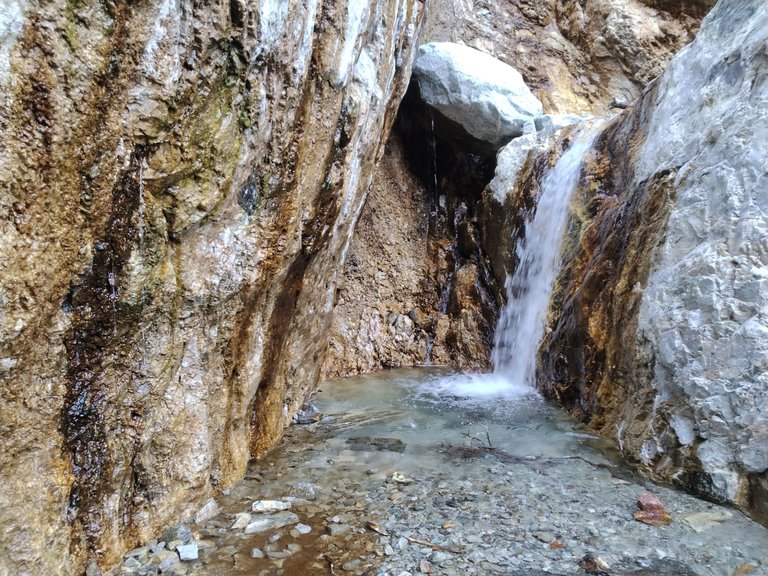
Another spring fed waterfall coming right out of the cliffs
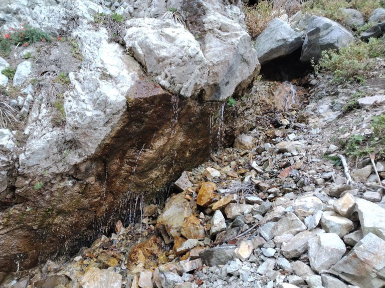
More springs
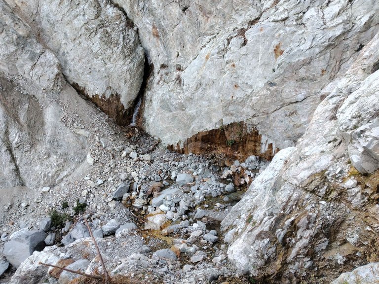
Overlooking the springs
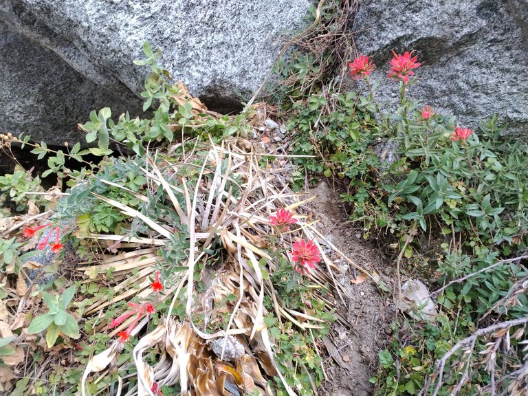
Some wildflowers by the springs
More springs
One last shot before heading back to camp
Passing the waterfalls on the way down
Rockhopping back downstream
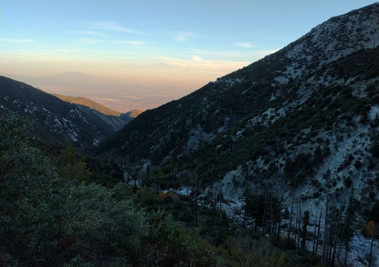
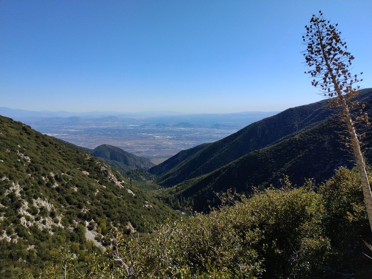
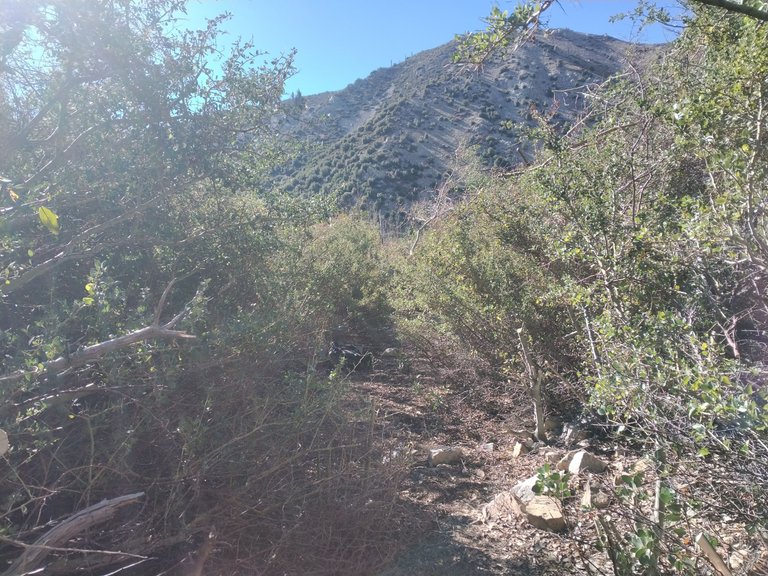
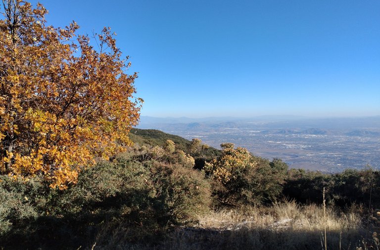
Views from the trail
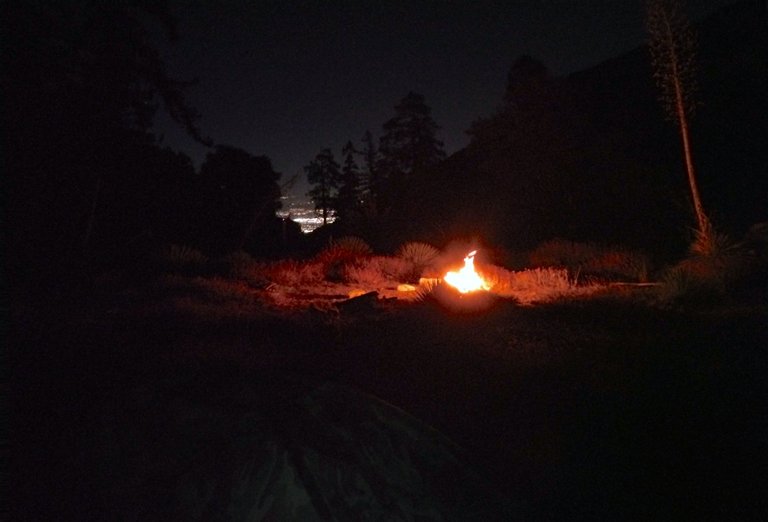
Campfire and city lights
The next morning I woke up feeling great. I had some breakfast, packed up camp, refilled my water bottles for the day, and headed out on the trail for another day of trail work. I still had lots of chopping to do, but this time I had plenty of energy and plenty of water. Once again I chopped and chopped all day. When I finally connected with my chopping work from the day before it was a huge relief. The trail was finally fully passable and the hardest of the chopping was done. Although there was still a lot of work to do. So I kept chopping away trying to make the trail nice and wide. Eventually it was getting late in the day and I had to start hiking back up to the trailhead. And although there is still work to do to get it all nice and wide like I want it, especially in one section in the middle where it's still a little tight, it is all passable now and I was feeling quite accomplished with everything I had done. I got back to my truck and made the long drive back down the mountain. Feeling tired, but good. I'm hoping to make it back at least one more time while the road is open this season. I still wanna put the finishing touches on the trail and there is another fork in the canyon above camp I'd like to explore, as well as possibly scouting out a route to climb Cucamonga peak from there. Which would be really epic. So stay tuned for part 3!!
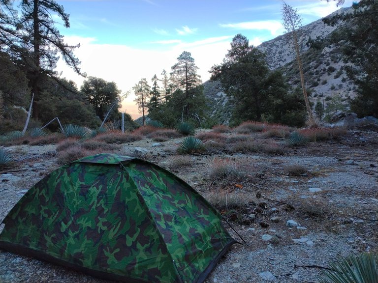
Sunrise at camp
All packed up and ready to head out
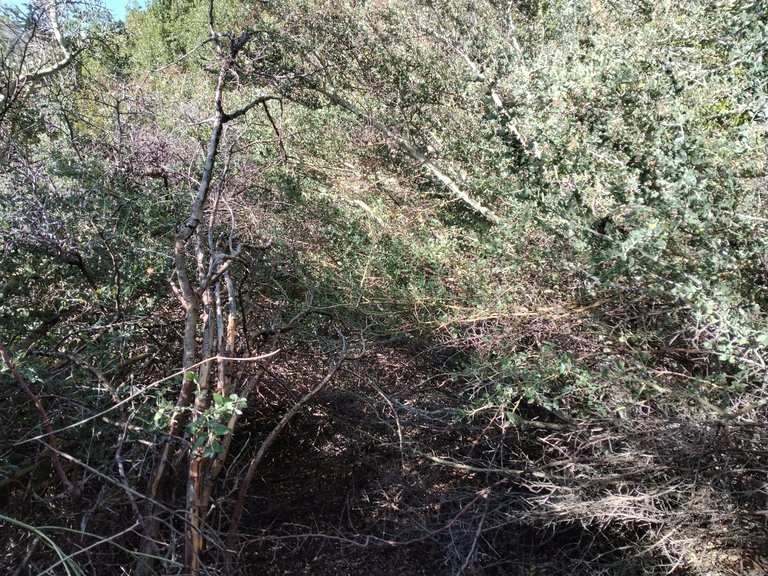
Back in the thick of the brush
Chopping through it
Cutting a tunnel through the bay trees
Views from the trail
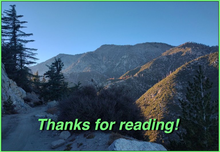
Back at the trailhead
And so until next time...
I hope you have enjoyed this glimpse into
My California!!

#SoCalHive is building and supporting the Hive Blockchain community in Southern California. If you are from SoCal and are into creating quality content here on Hive, we'd love for you to follow us @theSoCalHive and join our group on Discord


Pinmapple
That’s awesome! Nice job finishing the trail! 😎
Hiya, @choogirl here, just swinging by to let you know that this post made it into our Honorable Mentions in Travel Digest #2062.
Your post has been manually curated by the @pinmapple team. If you like what we're doing, please drop by to check out all the rest of today's great posts and consider supporting other authors like yourself and us so we can keep the project going!
Become part of our travel community:
Congratulations, your post has been added to Pinmapple! 🎉🥳🍍
Did you know you have your own profile map?
And every post has their own map too!
Want to have your post on the map too?
Congratulations @derekrichardson! You have completed the following achievement on the Hive blockchain And have been rewarded with New badge(s)
Your next target is to reach 49000 upvotes.
You can view your badges on your board and compare yourself to others in the Ranking
If you no longer want to receive notifications, reply to this comment with the word
STOPCheck out our last posts: