Hello everyone, this time I will share with you my trip tour to the top of Widosari which is located in Tritis Village, Ngargosari, Samigaluh District, Kulon Progo, Yogyakarta.Indonesia

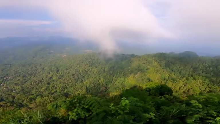
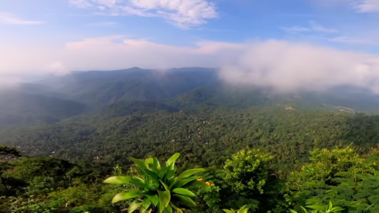
The trip to the top of Widosari is quite safe for us to climb because it is not too high compared to other peaks, but it is also quite tiring for us to reach, up to the top. Widosari Peak presents the feeling of green trees, and one step further, up to the clouds.
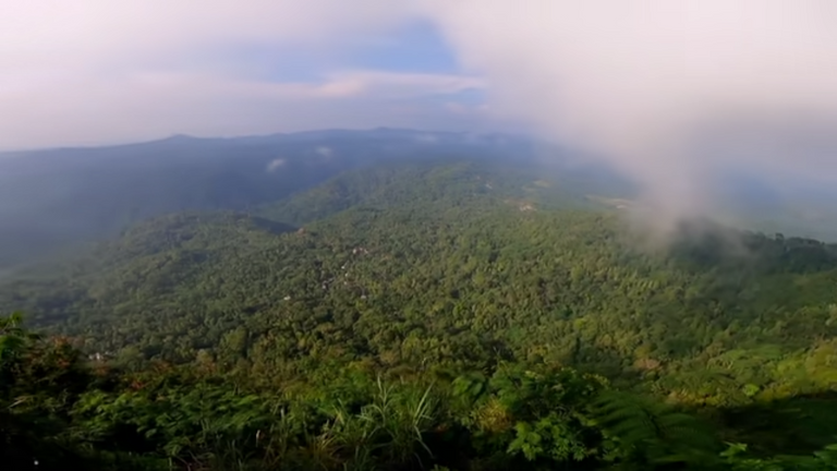
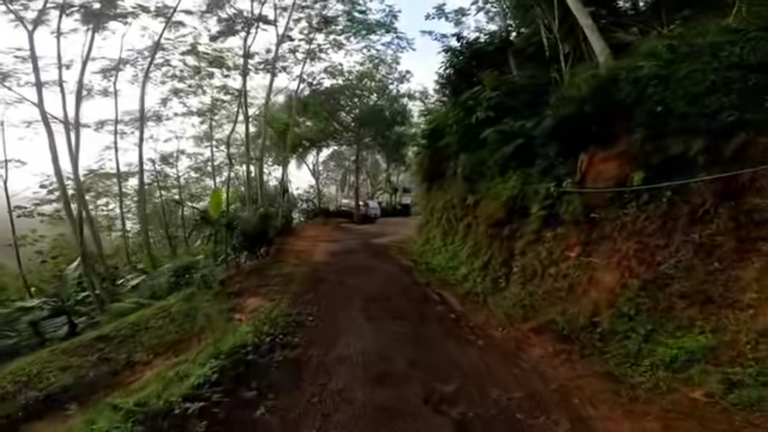
The trip to Widosari Peak is quite enjoyable and tiring. Because along the way, even if there is a beautiful view of the green trees, to reach Widosari Peak, we have to take a special vehicle to walk along the Menoreh hills.
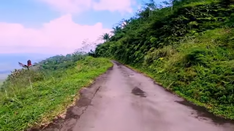

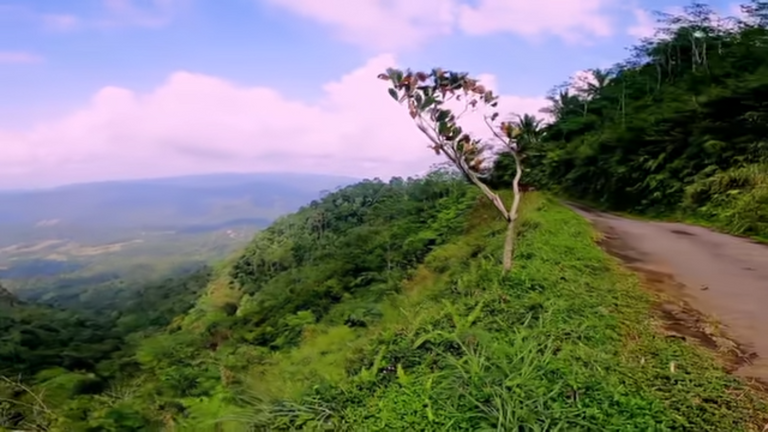
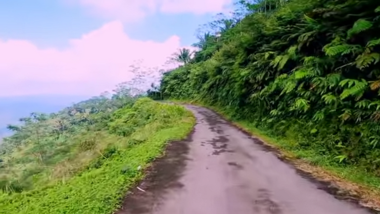
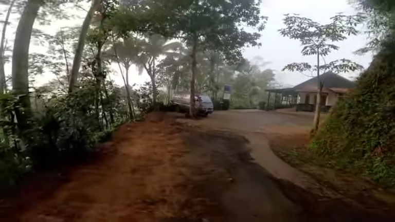
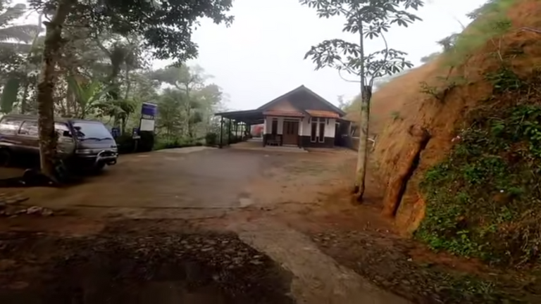
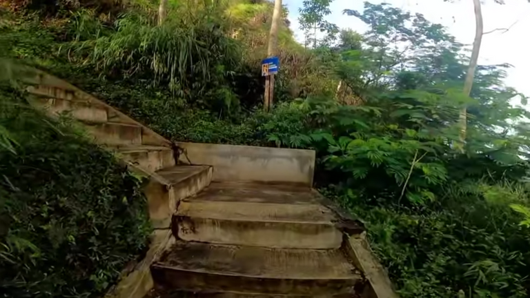
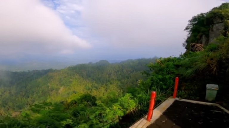
Only a small part of the road is not yet optimal. The road to the Widosari Peak tourist area will be a bit narrow as you approach the parking area.

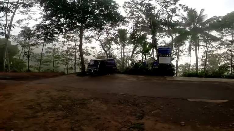
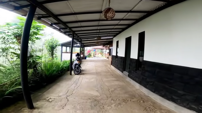
This is the parking lot.
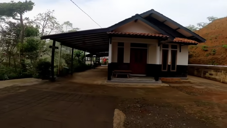
There’s a house right in front of the parking lot.
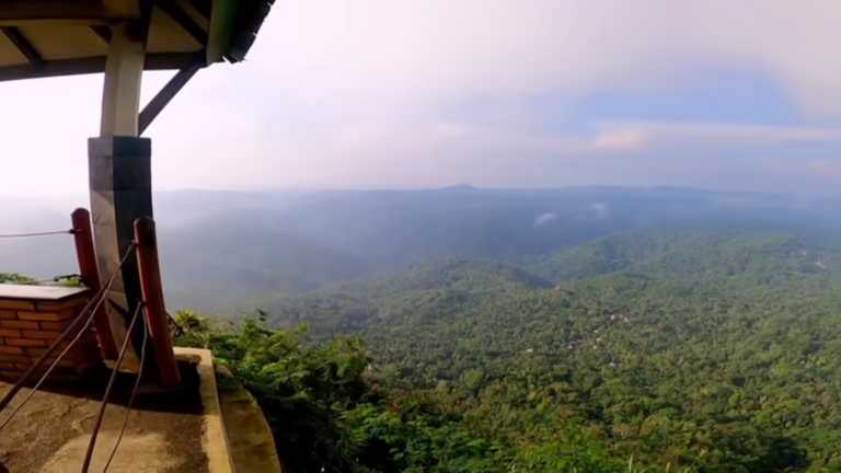
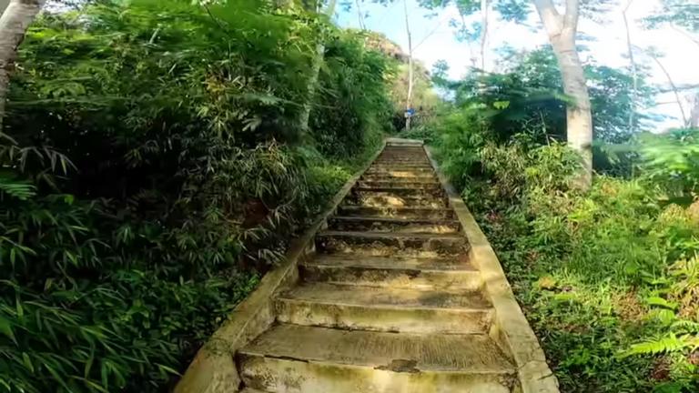
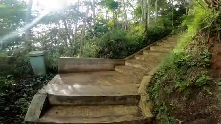
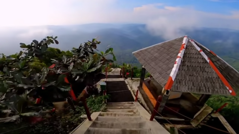
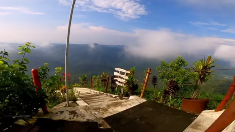
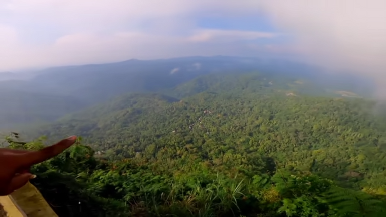
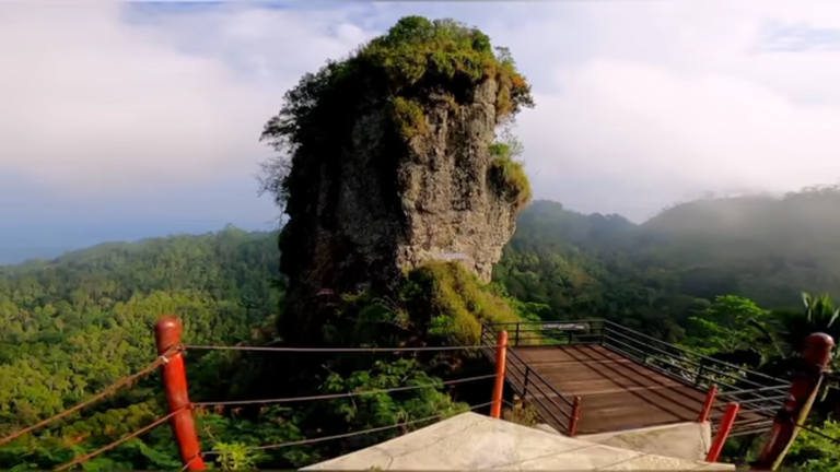
As far as the eye can see, we can see the location of the top of the widosari. It looks very high. This is the main location when I climb the stairs.
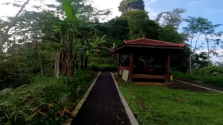
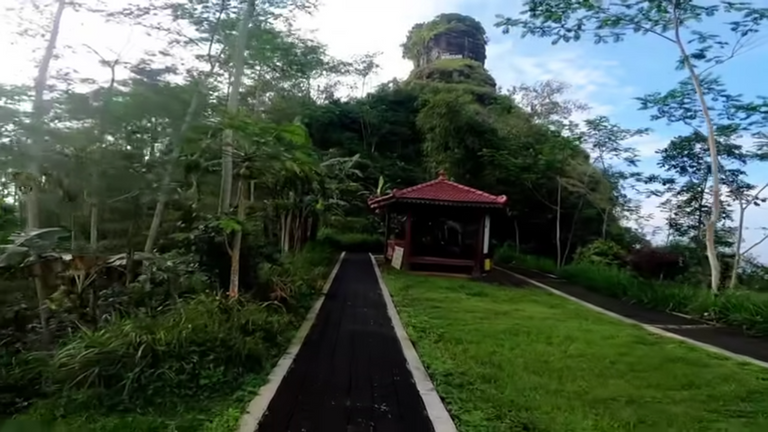
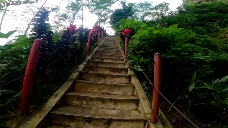
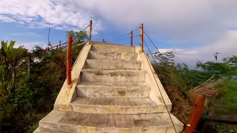
The journey doesn’t end there, because we have to continue through hundreds of other stages until we get to the top.
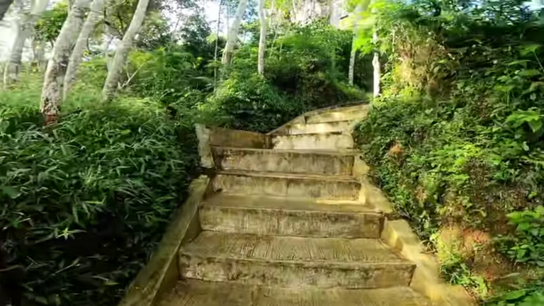

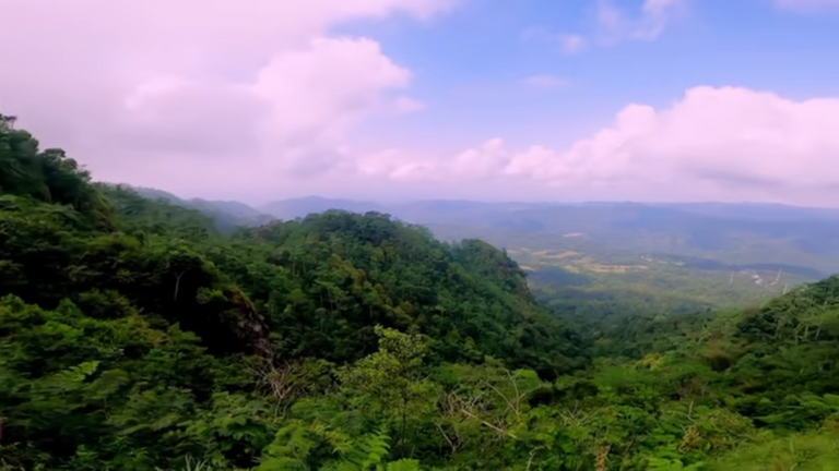
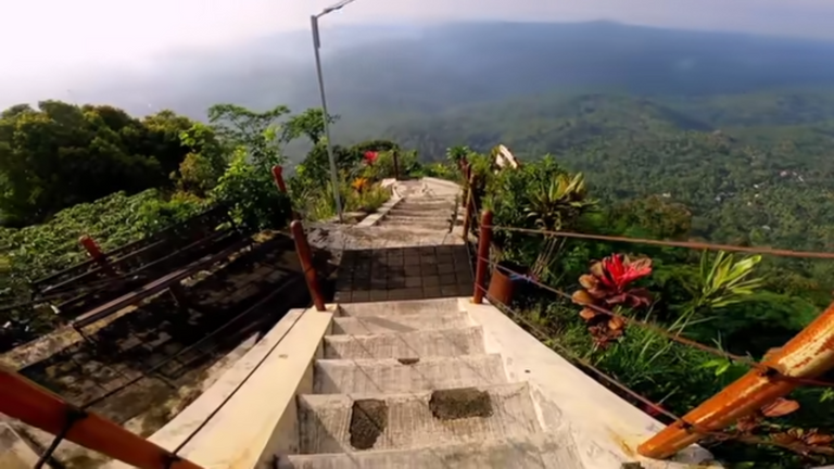
The distance is quite long, with the condition of the stairs that will continue to climb. However, because the location was approaching the top of Widosari, these feelings of fatigue finally paid off, when I saw the beautiful and beautiful view above the top of Widosari.
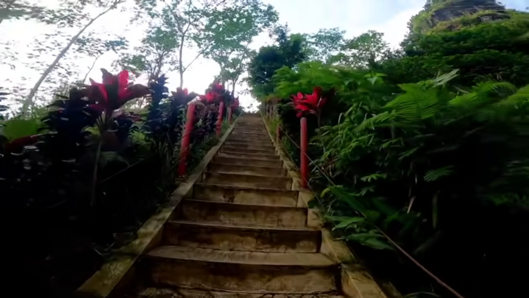
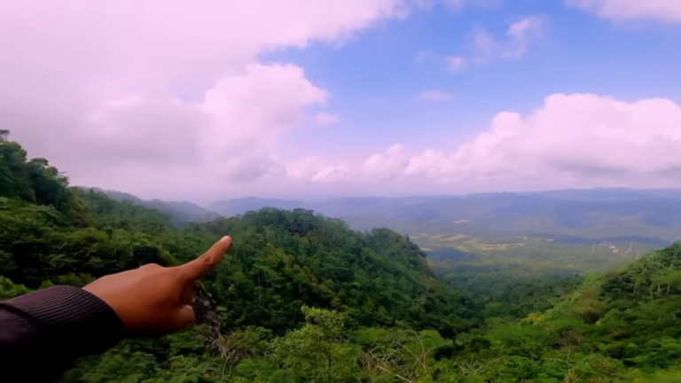
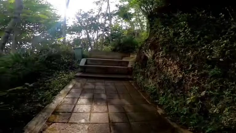
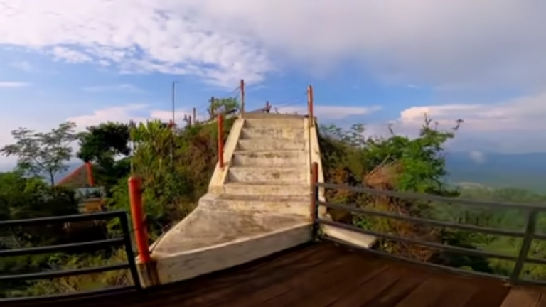
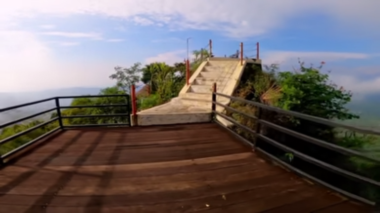
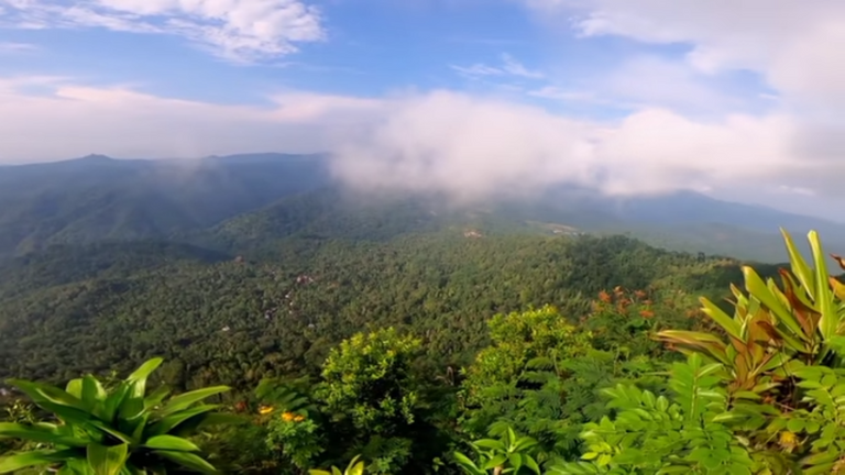
This is the last step, only a few steps, I started walking at the last second, until I got to the top of Widosari to see the panorama of the natural beauty of the mountains that stretched wide when I was above the top.
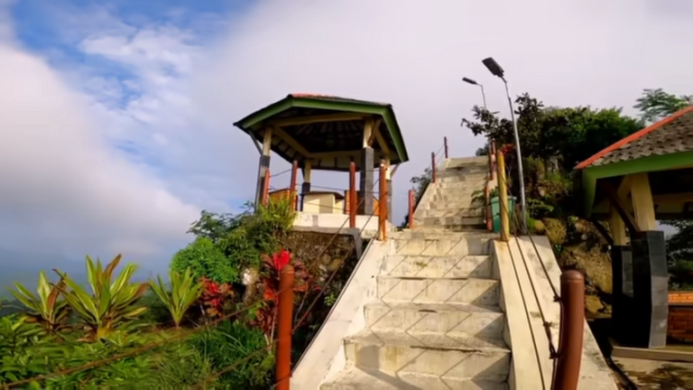

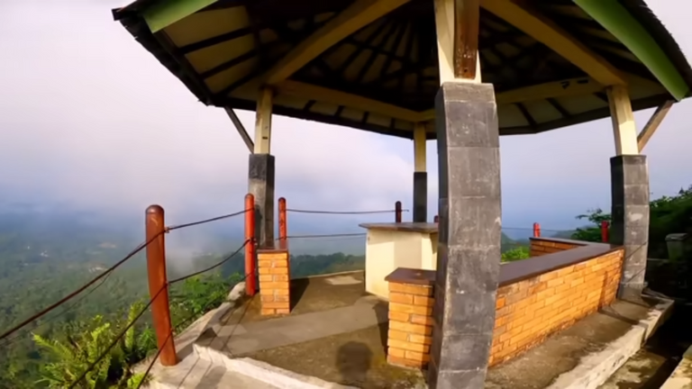

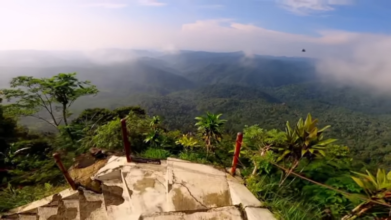
above the summit of Widosari, one can also see the enchanting natural beauty of Mount Merapi and Mount Merbabu, to be precise, on the southern coast, which is covered with mountain craters.
Thank you to all who followed my trip to the summit of Widosari, Kulon Progo Regency, Yogyakarta Special Region, Indonesia See you soon.
Greetings:@zul212
[//]:# (!pinmapple -7.65830 lat 110.14880 long d3scr)
Congratulations, your post has been added to Pinmapple! 🎉🥳🍍
Did you know you have your own profile map?
And every post has their own map too!
Want to have your post on the map too?
It really is a very high and beautiful place. Greenery gives peace of mind.🌲
@cryptorator Yes, our minds are very calm when we are at this highest altitude.
Thank you, friend
Hiya, @lizanomadsoul here, just swinging by to let you know that this post made it into our Honorable Mentions in Daily Travel Digest #1727.
Your post has been manually curated by the @pinmapple team. If you like what we're doing, please drop by to check out all the rest of today's great posts and consider supporting other authors like yourself and us so we can keep the project going!
Become part of our travel community:
Hello @zul212, good post. I saw the Pinmapple code as visible in the post (and in that way it doesn't work properly). Try to solve it:
EDIT your post
Go to the end of the post
Add a space between the last 2 lines, pressing the ENTER button: the line with "greetings:@zul212" and the one with "[//]:# (!pinmapple -7.65830 lat 110.14880 long d3scr)"
Have a nice day :) !PIZZA
@davidesimoncini, Thank you for sharing
To you :)
Thank you @pizzabot