Travel around Olkhon Island
Hi there! Earlier I started to publish a series of posts about my trip to Lake Baikal. In this post I want to tell about a trip to the most northern point of the island - Cape Khoboy.
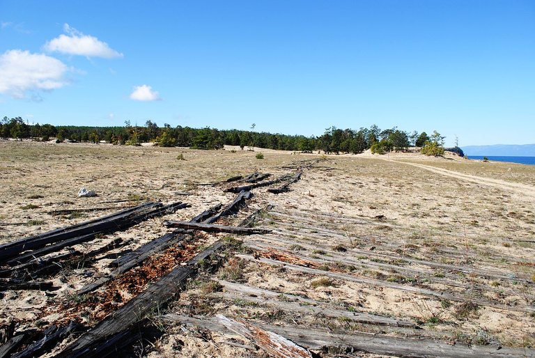
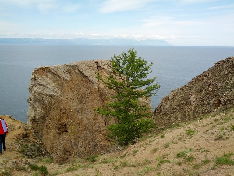
On the island there are only country roads. In some places you can drive only on an off-road car. On the way to Cape Khoboy there is a small village - the village of Peschanoe. In 1913, there was a project to create a penal prison in this place and even a commission to select a specific place. But because of the First World War that began in 1914, and subsequent revolutionary events, the plans were left only on paper. Already in Soviet times, until the mid-1950s, the Gulag institution was located in the Peschanoe tract. In four barracks lived condemned. They worked in the shop of the Khuzhirsk Malmorian Fish Factory located here, catching and cutting fish. Up to now, the remains of the stilts have been preserved - decking from the planks along the sand for transport to the shop.
The remains of the road in the shop of the fish factory.
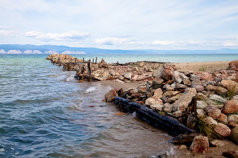
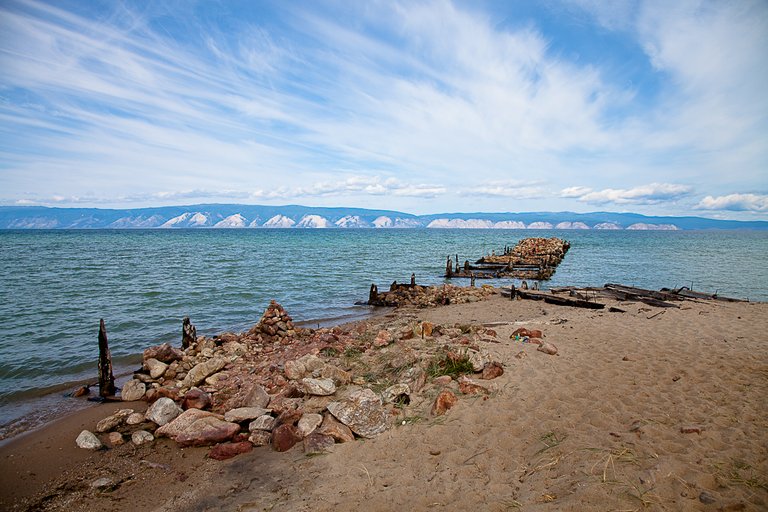
The remains of the pier, the village of Peschanoe.
Also, in Sandy and not far from it lived special settlers, deported from Lithuania, Western Ukraine, Byelorussia, Poland, etc. A total of 27 nationalities. In 1956, they were allowed to return home during the then amnesty.
Peschanoe village.
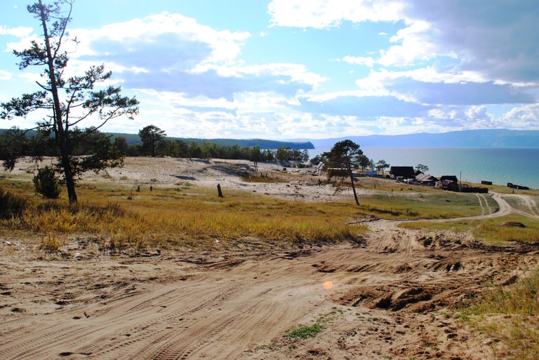
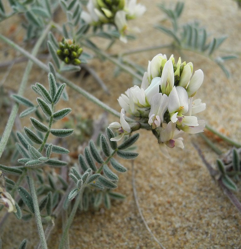
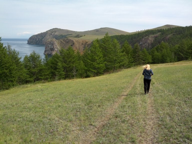
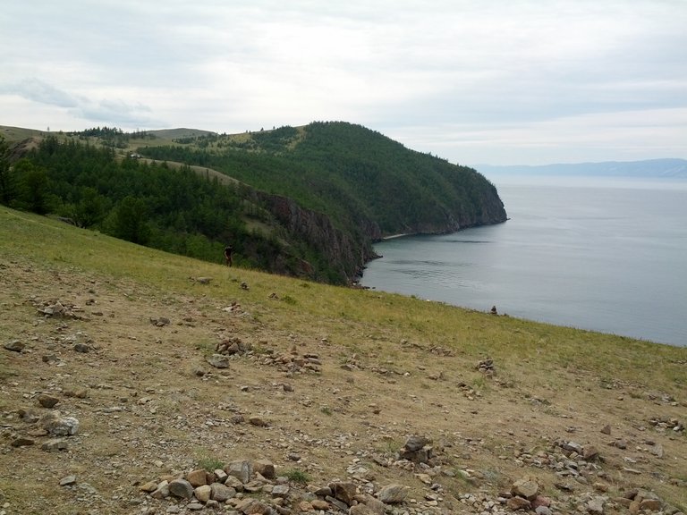
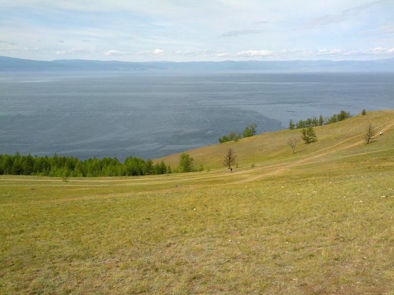
The tract Peschanoe is located 20 km to the north of the village of Khuzhir on the coast of the Nyurgan Bay. It is distinguished by its sand dunes, occupying an area of about 3 km², on which a rare endemic plant grows, which is not found anywhere else in the world - Astragalus olchonensis, perennial from the family of legumes.

On this hill used to be barracks for prisoners. One of the interesting facts is that there were very few prison guards in the Gulag on the island. This is due to the fact that during the escape the prisoners could not leave the island on their own. Those who dared to sail to the mainland did not usually arrive, because for most of the year the water in the lake is quite cold, and to the shore to swim a few kilometers and they just froze in the way.
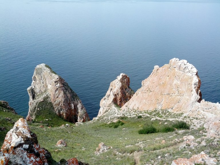
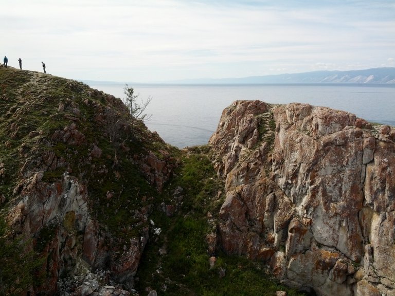

Natural arch in the rock.
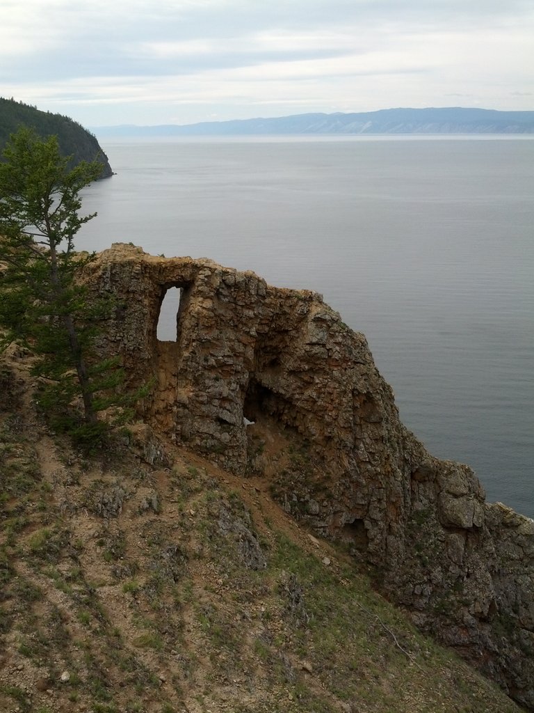
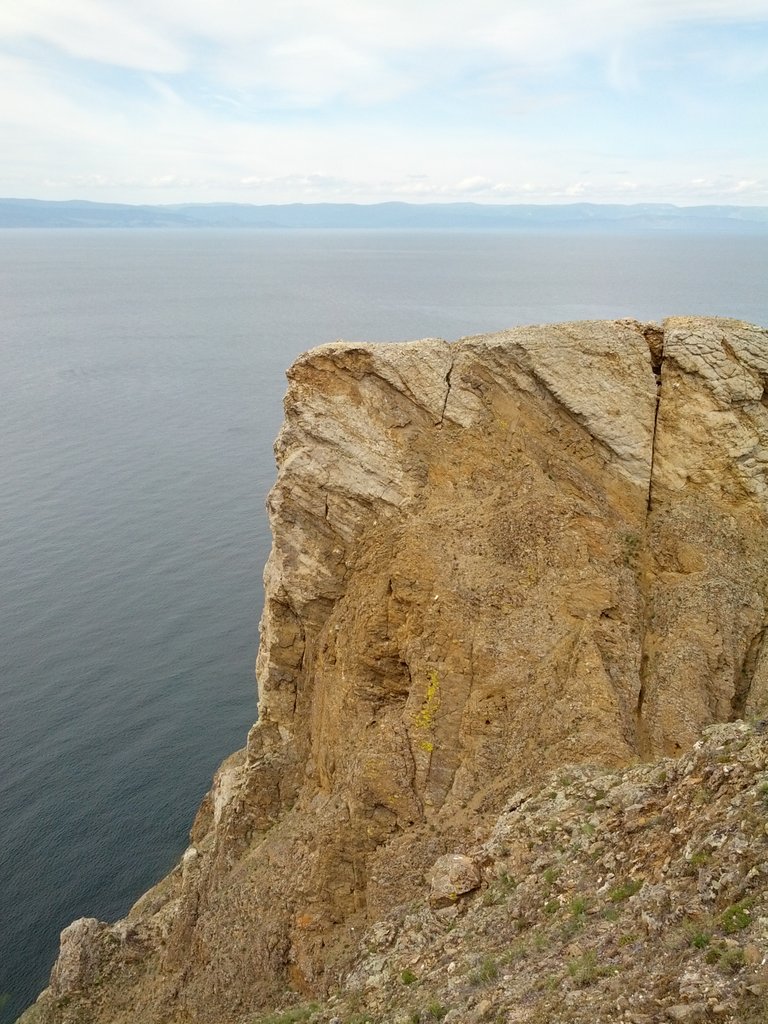
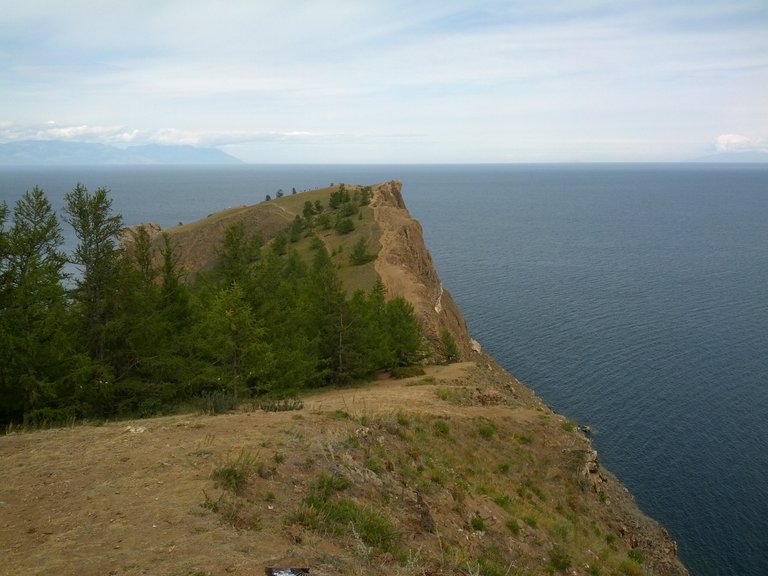
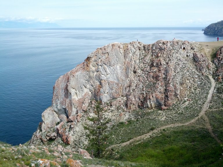
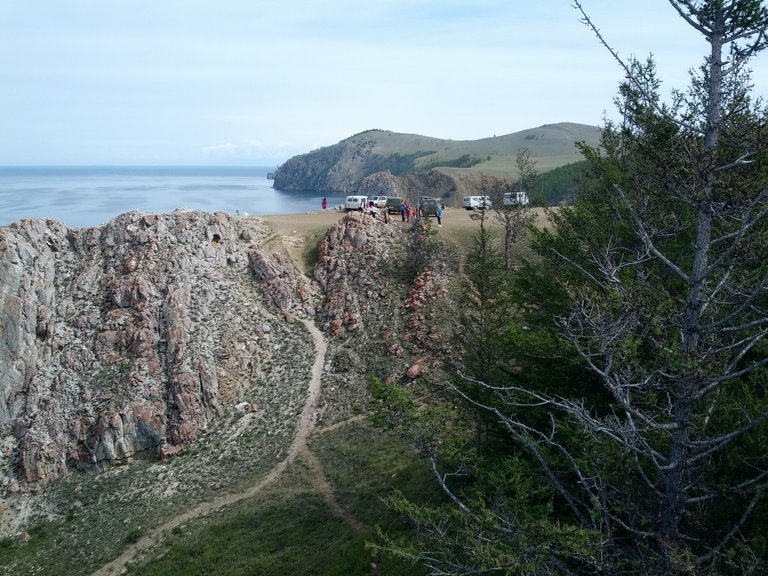
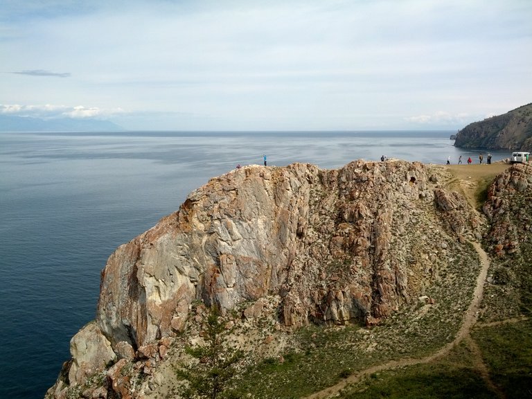
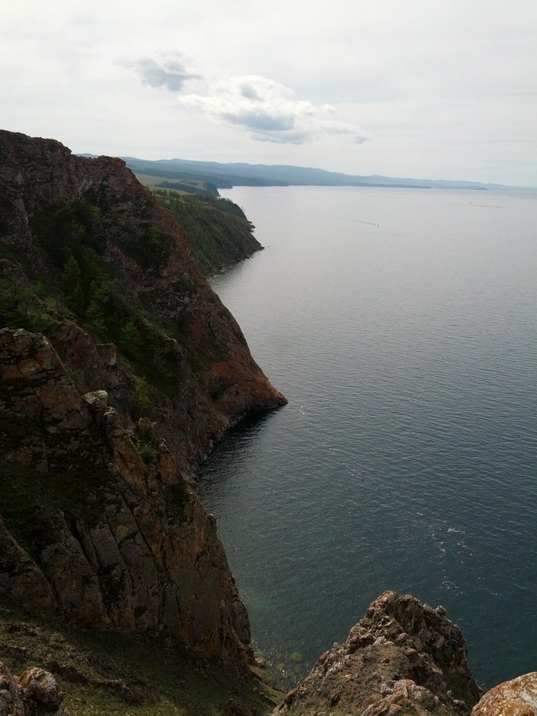
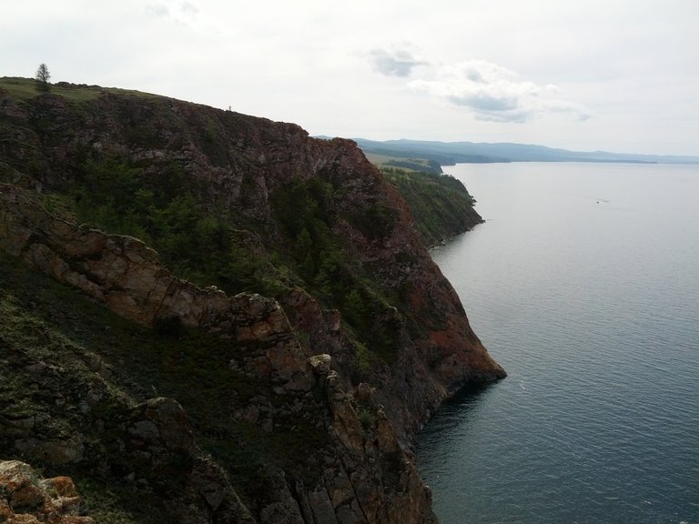
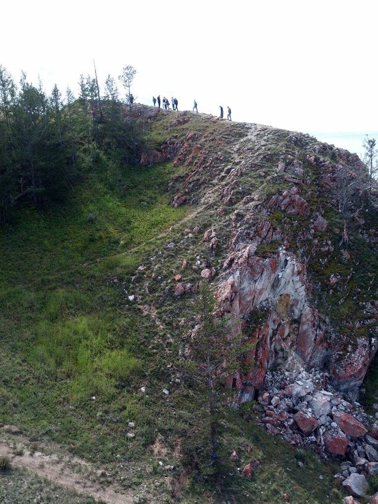
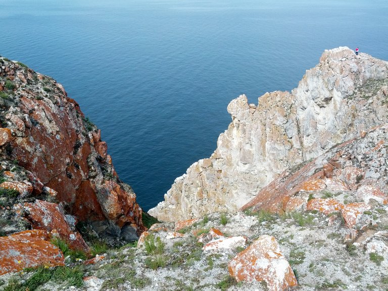
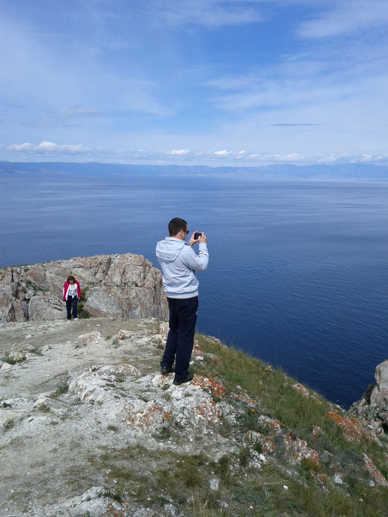
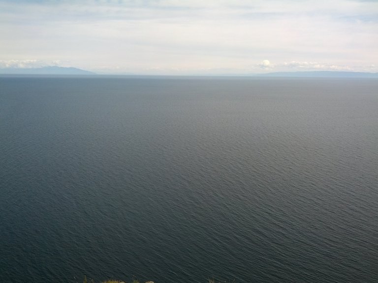
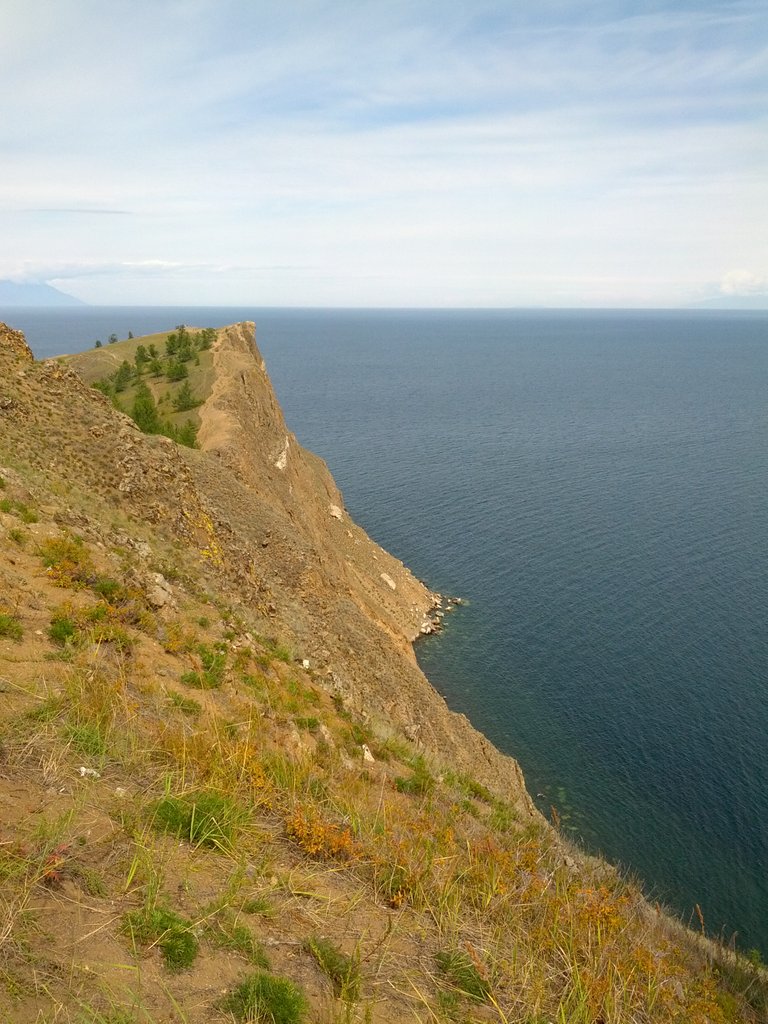
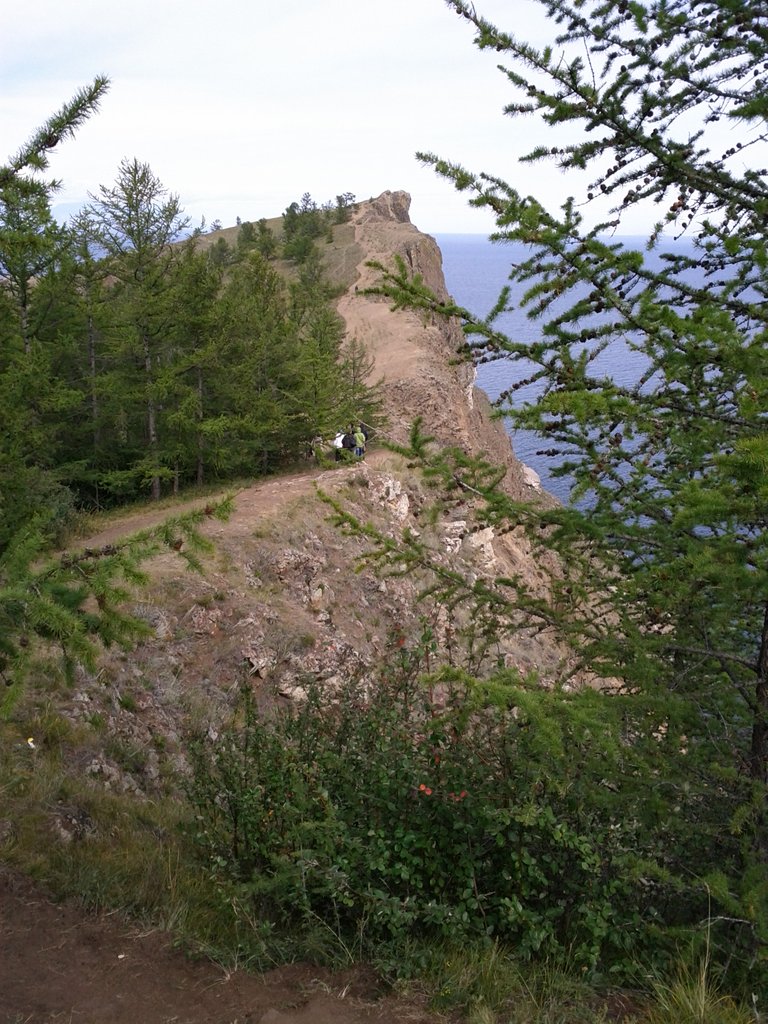
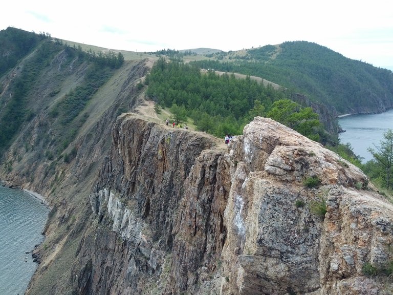
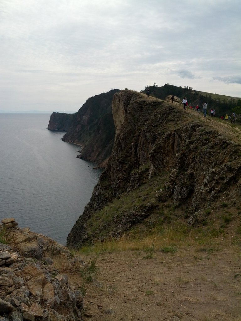
So we reached Cape Khoboy) This is the most northern point of the island of Olkhon. From the cape you can see both shores of Lake Baikal (standing on one shore you will not see another). Cape Khoboy is located near the widest point of the lake (79.5 km).
МЕста с мрачной историей...
относительно
I've never been there but we learned about Lake Baikal at school. Is it true that it feels like a sea?
Thank you for taking us with you on a tour. You may consider adding your posts to @steemitworldmap to gain more visibility..
Yes, the lake is so large that it is compared to the sea.
Thanks for the information about the resource @steemitworldmap! Be sure to use it!