 When showing you My California, I figured I would start at home. I live just south of an unincorporated part of San Bernardino known as Devore Calfornia. Devore California is nestled in an area known as the Cajon Pass. The Cajon Pass would be considered the suburbs of Los Angeles and Orange County. It is just down the hill from the high desert.I actually live north of @derekrichardson, and his post on this contest shows everything south of me, below the train tracks.
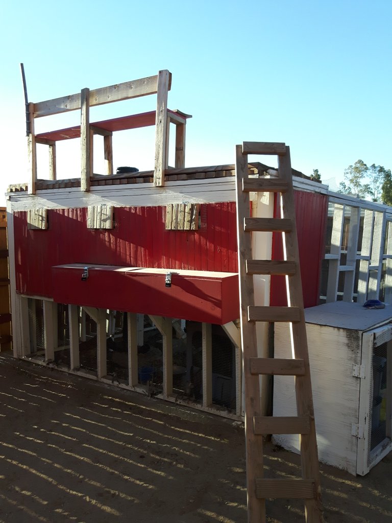
When building my chicken coop one of my friends who aided in the design brought it to my attention i might as well make an upper deck. I did so and considered it my look out post. As my house is essentially surrounded by mountains, Its a good idea to see it coming. I have no immediate neighbors to my south so the view of the city is pretty stunning.
Viewed from the top of my coop looking north of me are the San Bernardino mountains. I live right at the foothills and this makes it easy to take a dirt road quickly to escape the confines of the city.
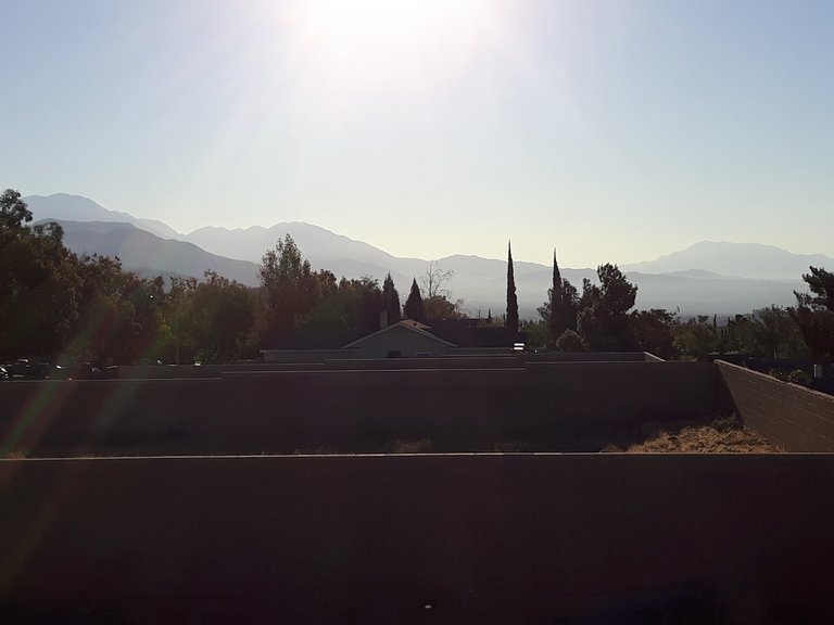
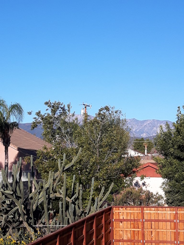
When I mentioned my house was surrounded by mountains I meant that I live in an area that is surrounded by three of the tallest peaks in Southern California. In this photo looking east, Mt San Gorgonio and Mt San Jacinto are pictured. Each of these Peaks are above 10000 ft.
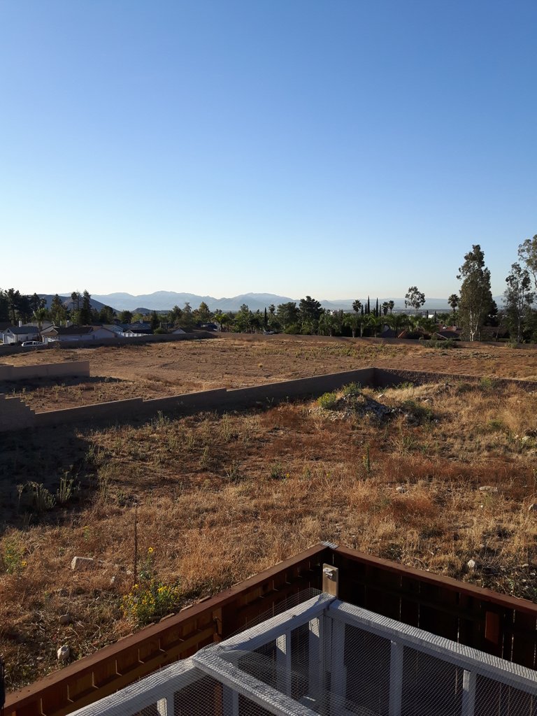
Looking more south of those peaks is the way toward downtown San Bernardino as well as the general direction of San Diego. This is often the direction being stared at when its new years as all the fireworks shows are visible from this lookout post.
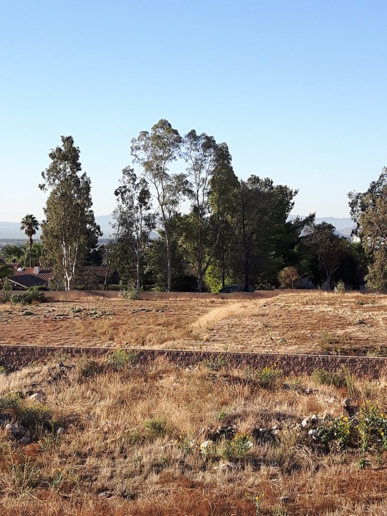
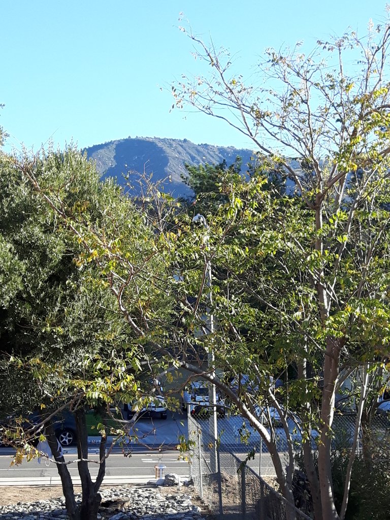
Looking due south and just through the trees in the photo is "saddleback peak" and the Santa Ana Mountains. These mountains experienced a severe fire just a few months back that put thousands out of their homes. On the other side of this range is Orange County. This is also the direction of Muscoy California and where @derekrichardson's post is about.
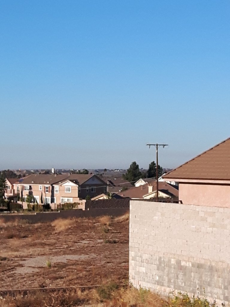
If you pan more west you will see that there are no peaks or hills at all. This is the gateway to the beach and the ocean. When the clouds and fog get thick on the coast it will blow in and often create a "wall" of fog, going from completely sunny and clear to cloudy and gloomy. The coast is only around 75 miles from my place and on a clear day can be seen from the hills behind me.
Coming almost full circle back around and west of me is Los Angeles National Forest and the Third tallest peak in the area, Mt San Antonio. My proximity to this mountain range allows for a pocket of different weather than the surrounding area. This mountain range can block a lot of bad weather coming off the coast. On the flip side, this area can experience severe winds due to the Cajon Pass.
I hope you enjoyed this edition of "My California" and if your interested and in the neighborhood, shows @socalsteemit YOUR California!
 All photos, unless otherwise stated or sourced, were taken by @csusbgeochem1 and may not be reused without permission. Animations and cover photo created by @csusbgeochem1 using GIMP.
If you found this story interesting you can find more like it by following @socalsteemit and help us expand the Steemit community together
All photos, unless otherwise stated or sourced, were taken by @csusbgeochem1 and may not be reused without permission. Animations and cover photo created by @csusbgeochem1 using GIMP.
If you found this story interesting you can find more like it by following @socalsteemit and help us expand the Steemit community together
Join the SoCal Steemit Discord group today!
Nice dude!! But Devore? That's totally Verdemont. lol.
And don't forget that for your contest entry to be valid you need to put the link in the comments of the contest post!