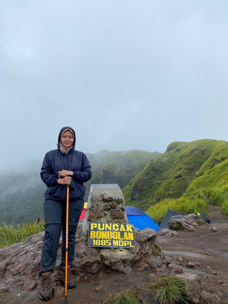
Hi all, this time I will share the story of yesterday's experience climbing to Mount Ungaran.
Mount Ungaran is located in Ungaran, Semarang Regency, Central Java, Indonesia with an altitude of 2,050 meters above sea level (masl), and has 3 peaks including Bondolan Peak 1,855 masl, Botak Peak 2,050 masl and Banteng Raiders Peak 2,050 masl.
Actually, the plan to climb to Ungaran has been from the previous year and last June we were ready to leave, it turned out that we got news that the basecamp was temporarily closed due to the Lockdown from the Government. Failed again.
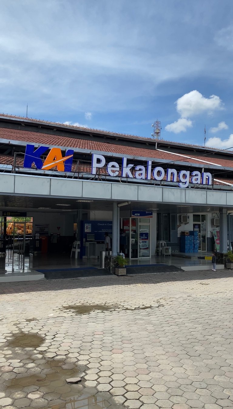
Finally, on Saturday, November 13th, my partner and I started the journey to Mount Ungaran and chose the route of the Perantunan which was only opened a year ago and is said to be the fastest and most friendly path for beginner climbers. Fyi, Mount Ungaran has several routes including, via Mawar, via Gedong Songo Temple, via Promasan and via Perantunan.
My journey started from home using train transportation after arriving at Semarang Poncol Station and after being picked up we left at 12.55 pm. In the middle of the journey, it rained all the way, of course, the weather was difficult to predict, which was still sunny and hot at the time of departure. The distance from the center of Semarang to the Perantunan basecamp is approximately 1 hour.
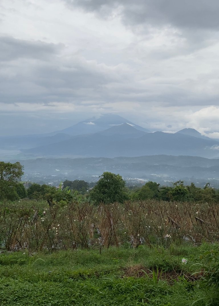
Until we were at the entrance gate at 16.30 pm, we were directed by the guard to go directly to the registration counter and one person entry fee is Rp. 15,000, which must have implemented the health protocol requirements according to government recommendations.
Oh yes, here you can also camp cheerfully or just relax by enjoying the view of the city of Semarang.
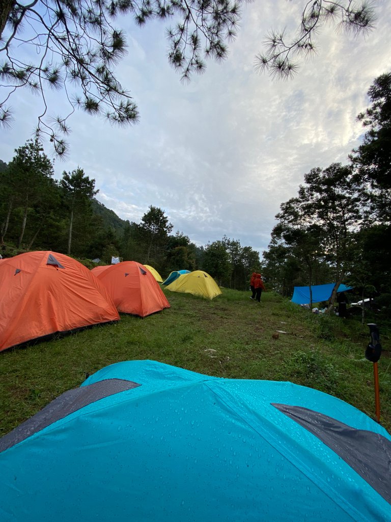
At the basecamp there are also many facilities that are quite complete and a large enough parking area, for four-wheeled vehicles it is not recommended to park above considering the road is quite narrow and steep, later those who bring four wheels will be directed to the parking lot at a certain location that has been provided by the manager. , and if you are lazy to walk to basecamp with a distance of 1 km you can also take a motorcycle taxi, I don't know how much it costs.
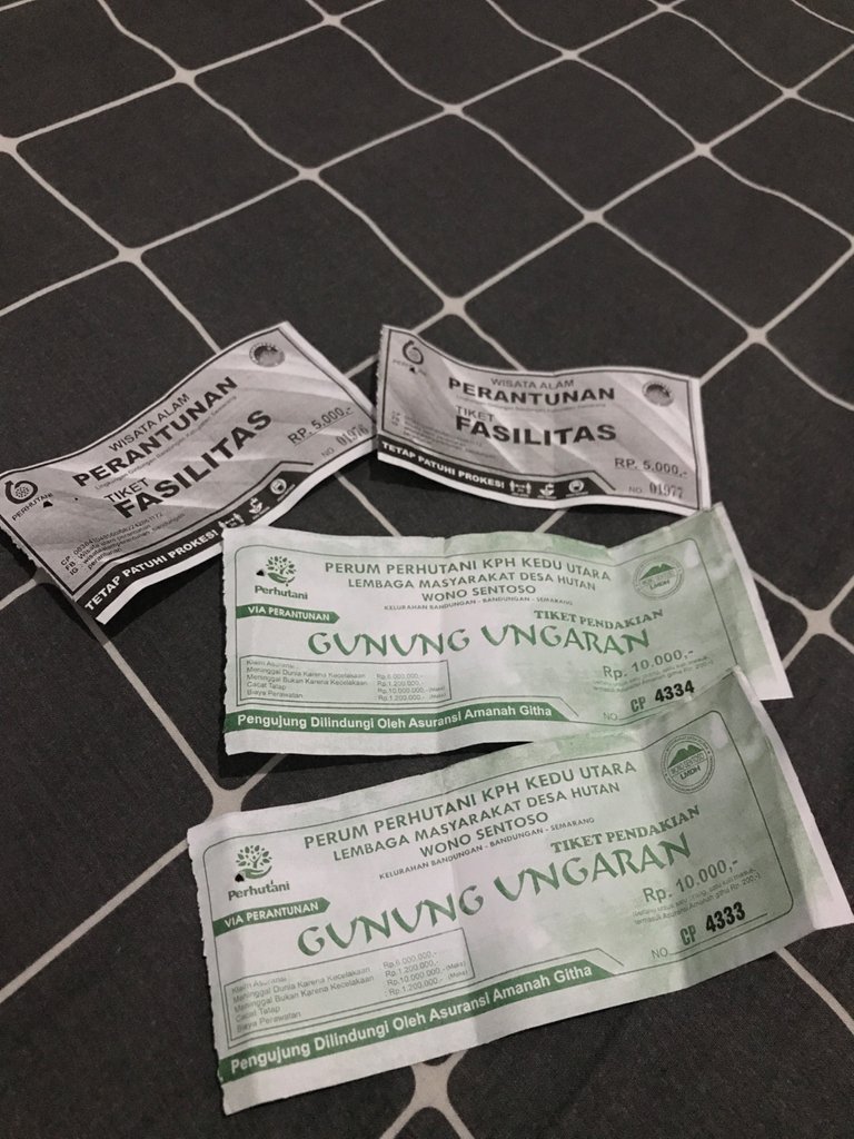
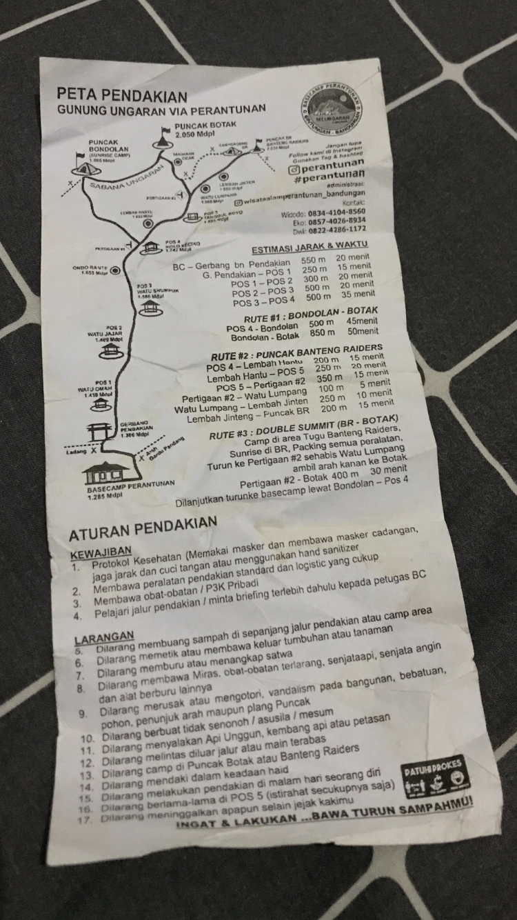
The camp area here is also wide enough to accommodate many tents, usually some climbers often prefer to set up a tent below and do a “tektok” climb the next day, because this mountain belongs to the low category which does not take too long to climb and only takes about 3 hours to the top.
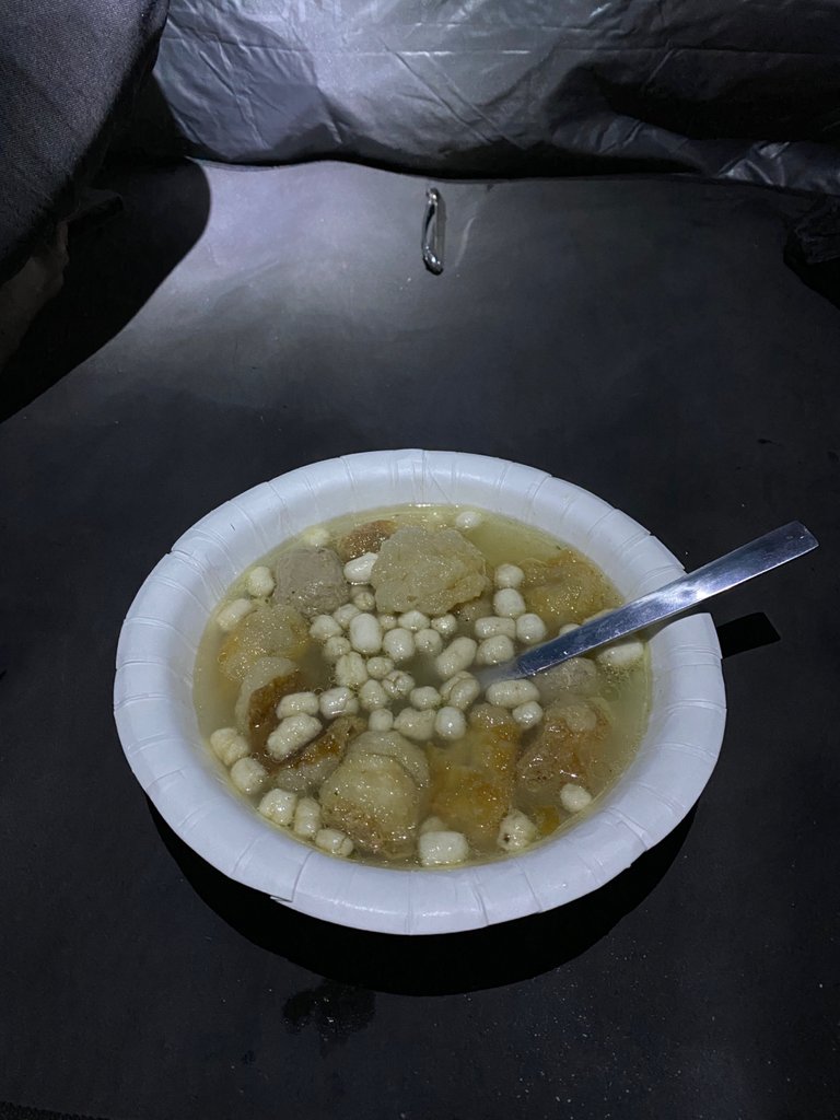
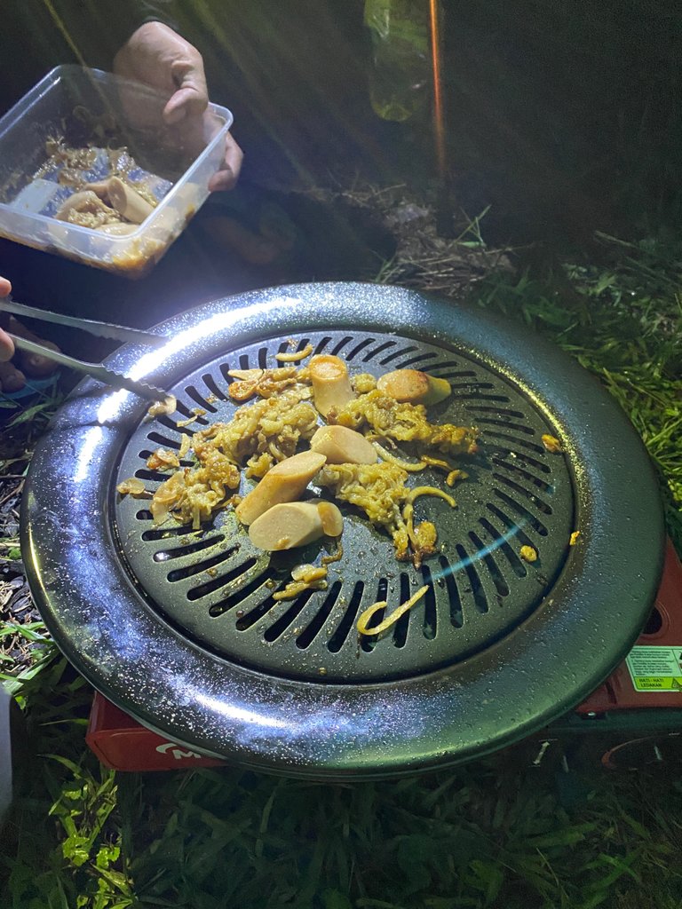
Because the weather conditions were still drizzling in the end we decided to just set up a tent below and do a “tektok” climb the next day. It turned out that at night, more and more visitors came and set up tents around us, then we chatted casually while cooking the supplies that had been brought from home, this hike was quite intended to bring a grill tool, bored every time on the mountain you eat instant noodles, occasionally BBQ on the mountain. haha
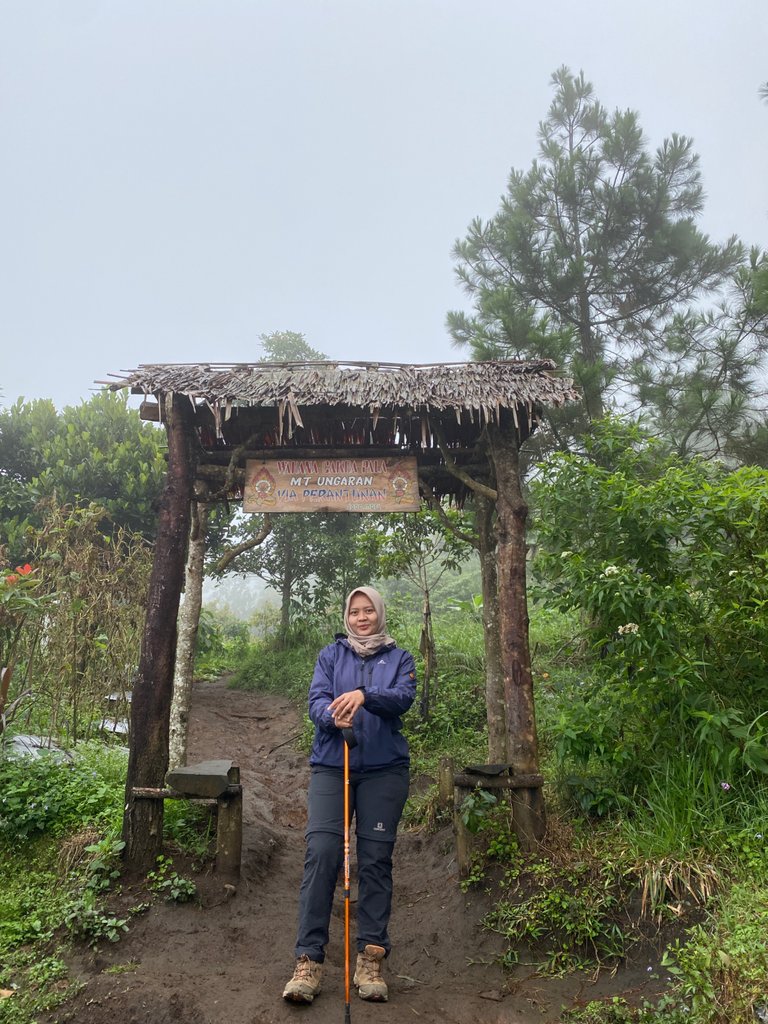
The climbing plan from early in the morning is a necessity, we are delayed until 06.00 am and just started climbing hahaha
Starting with a path that is still gently sloping, rocky and grassy, walk about 10 minutes until the climbing gate of Mount Ungaran via Perantunan.
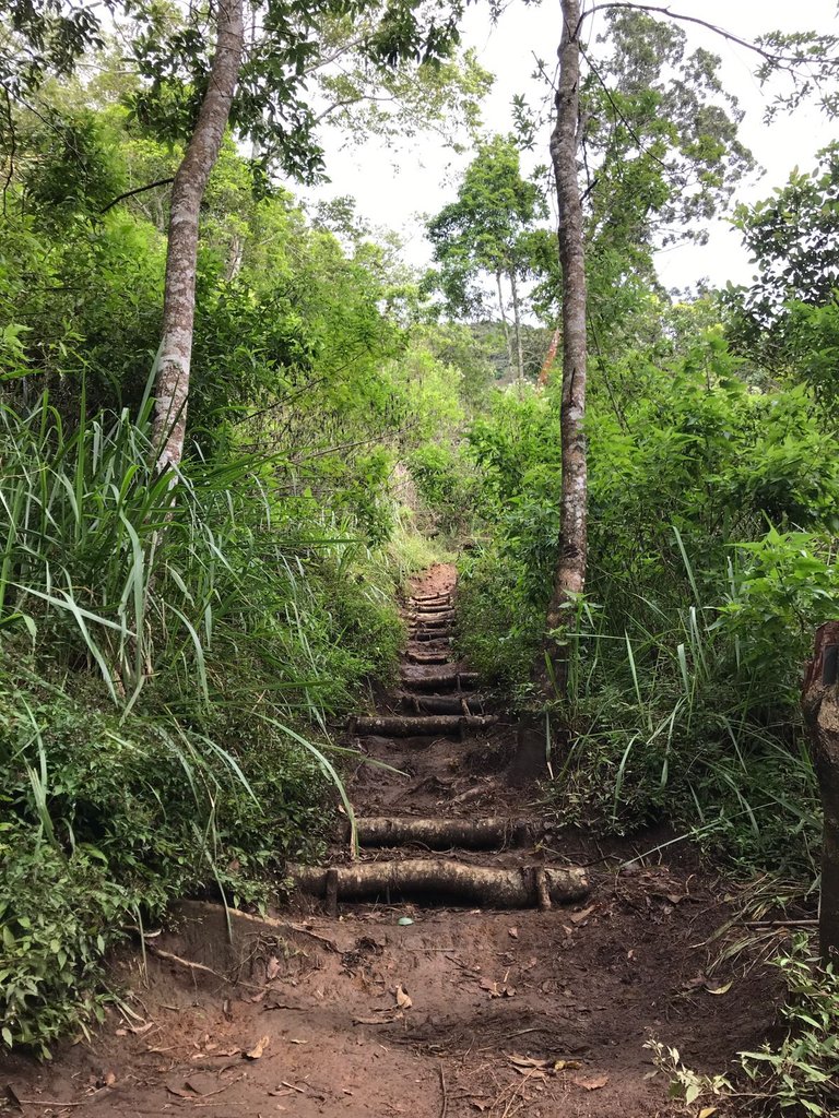
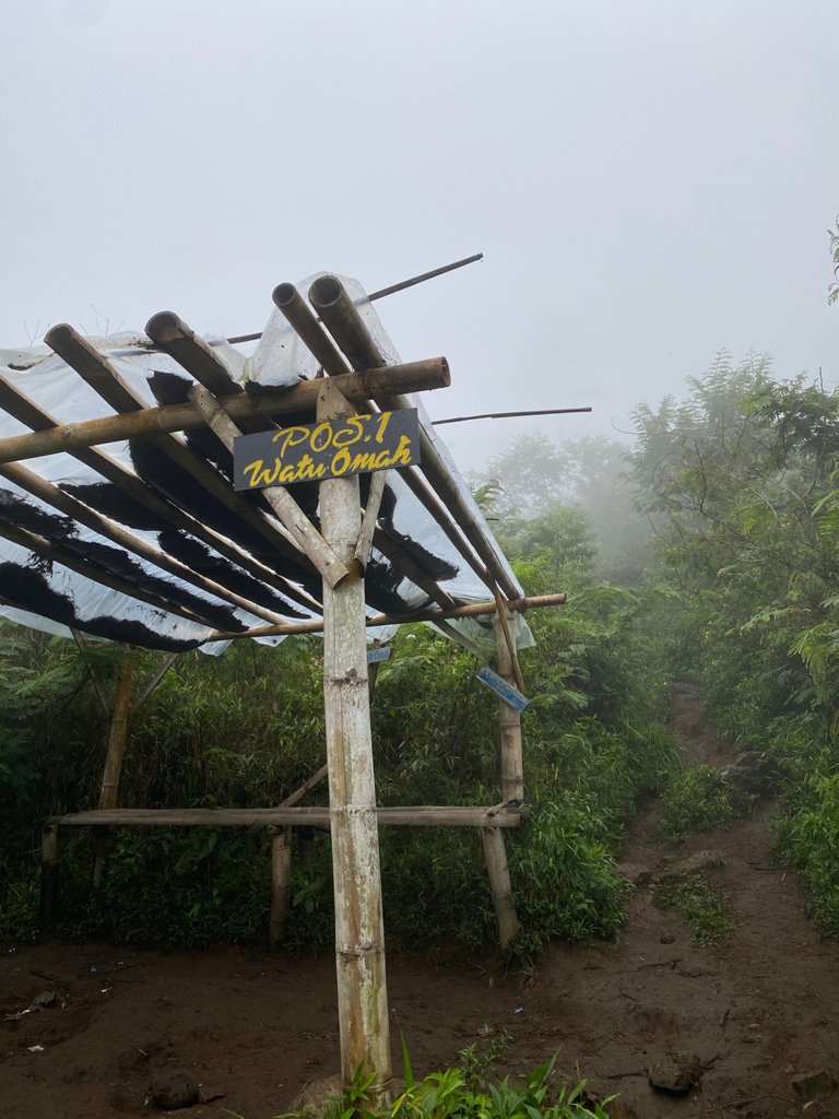
From the climbing gate, we walked with the sky still foggy towards post 1 "Watu Omah" for about 10 minutes, the path started to climb slightly with wet soil due to heavy rain yesterday last night
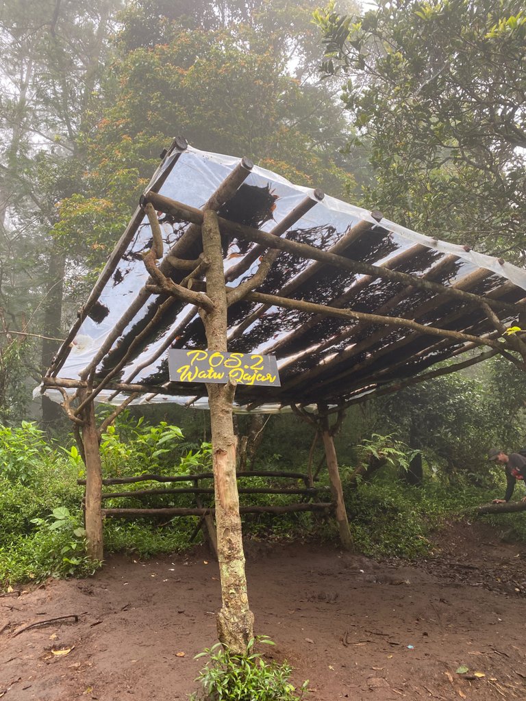
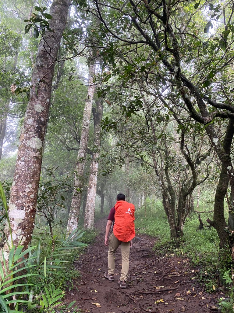
After walking leisurely because our intention did not want to be in a hurry we also arrived at post 2 "Watu Jajar" about 15 minutes from post 1, rest for a while
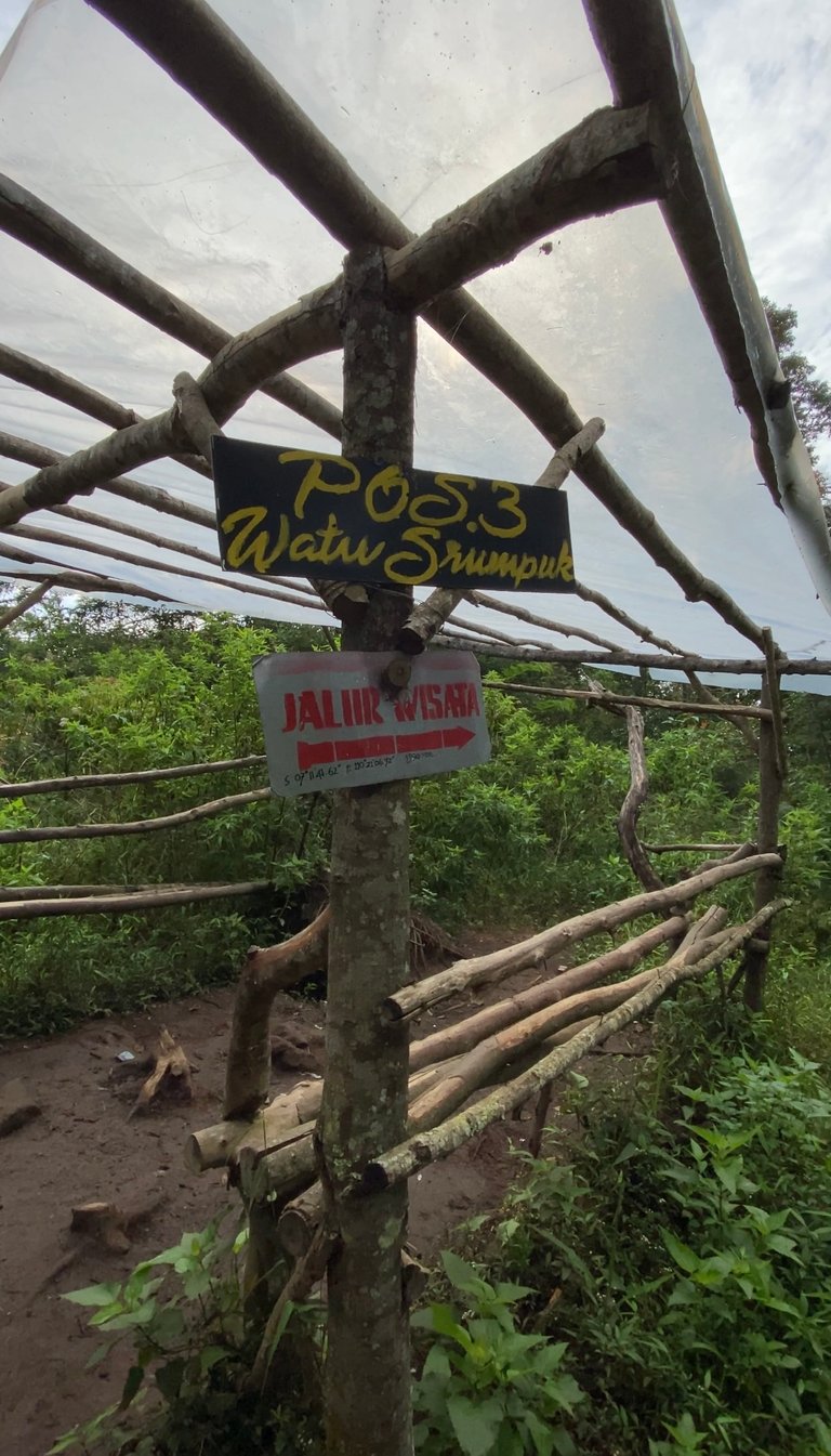
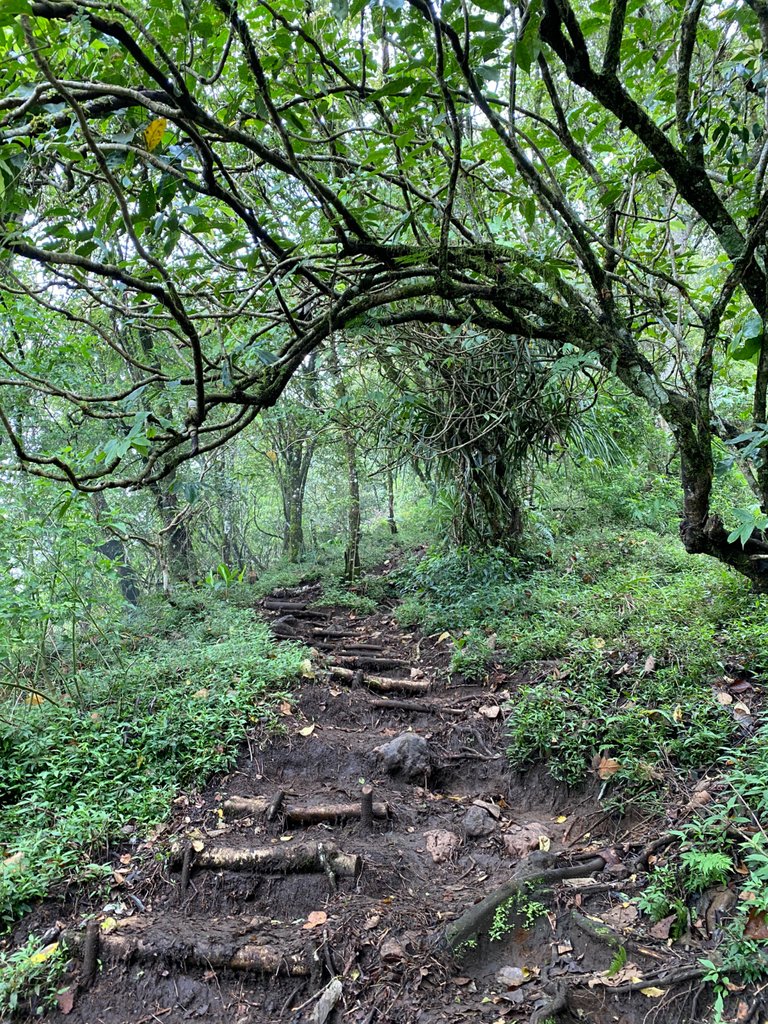
Continue until post 3 “Watu Srumpuk” about 30 minutes with the path still rising and the ground is wet
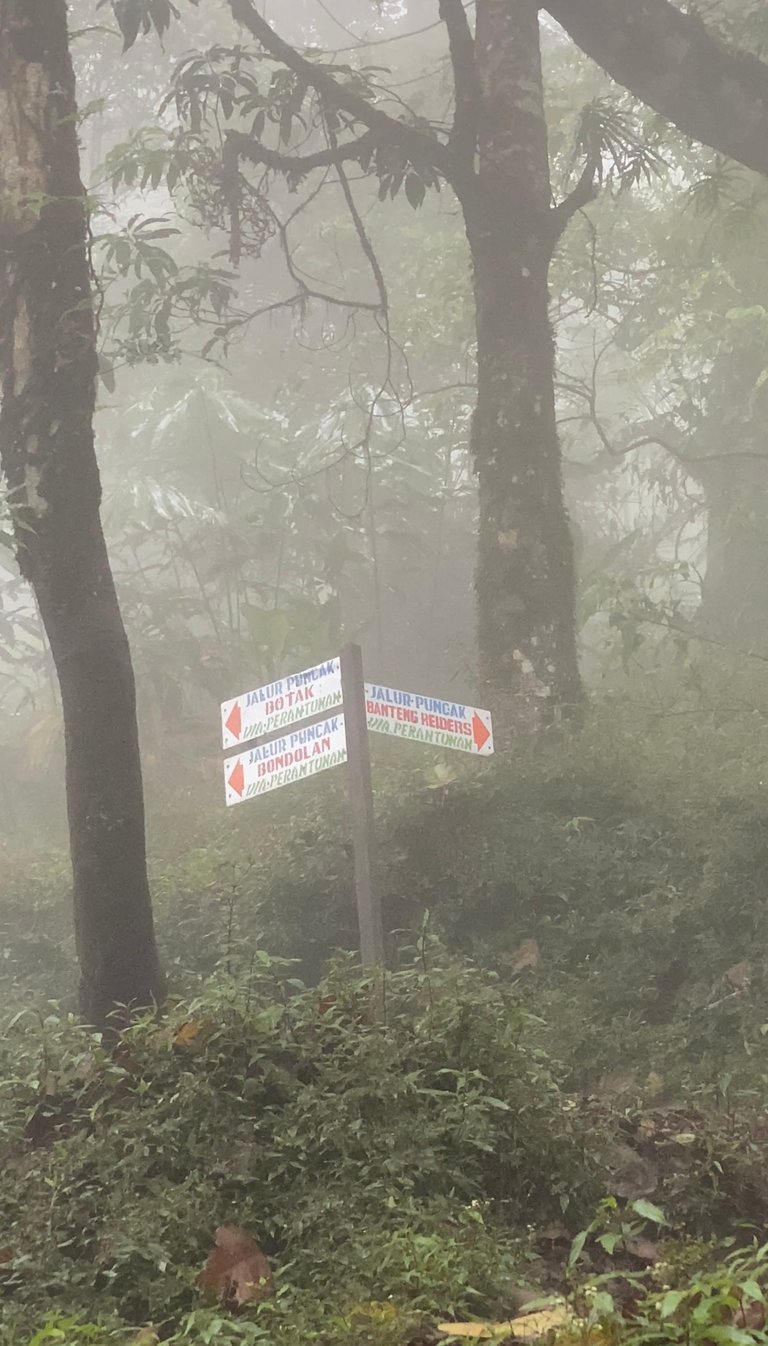
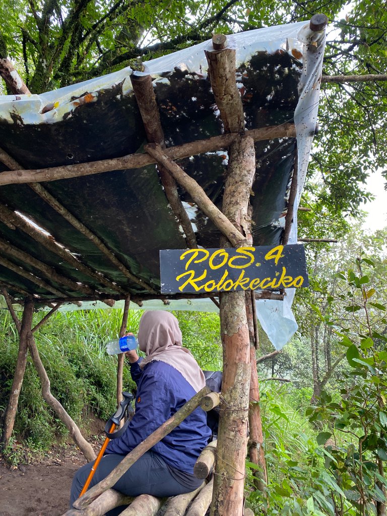
Next, the path starts to be steep and continues with mud terrain until you reach post 4 “Kolokeciko” for about 40 minutes, at this post there are two fork if you choose to the right go straight to the Peak of Banteng Raiders while if you choose to the left you will pass two peaks at once, namely Peak Bondolan and Peak Botak.
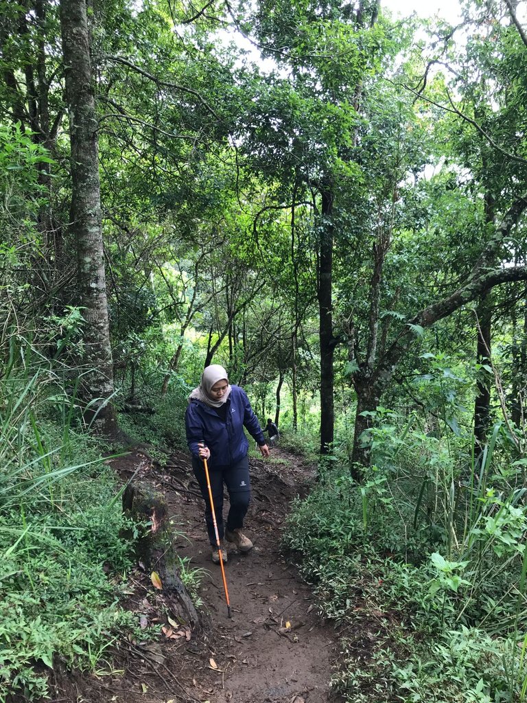
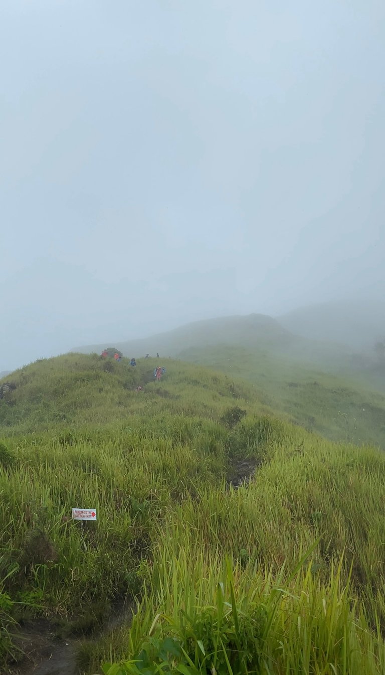
The two of us decided to take the left path to the two peaks of Mount Ungaran, the weather was getting cloudy and foggy and the rain finally fell, unfortunately we forgot to bring a raincoat that was left in the tent, with several other climbers we took shelter under a thick tree waiting for the rain to stop
After it had calmed down we continued our journey again until we reached the savanna before the peak of Bondolan, actually, if it wasn't foggy, the view would be cool. We continued walking for about 50 minutes from post 4, we finally arrived at the top of Bondolan, accompanied by rain again, seen some climbers setting up tents at the top of Bondolan before finally to the top of the Botak. Huh! weather conditions and time are increasingly impossible to continue to the top of Botak which is still less than 3 hills, there, and we just need to take documentation for a while and go straight down.
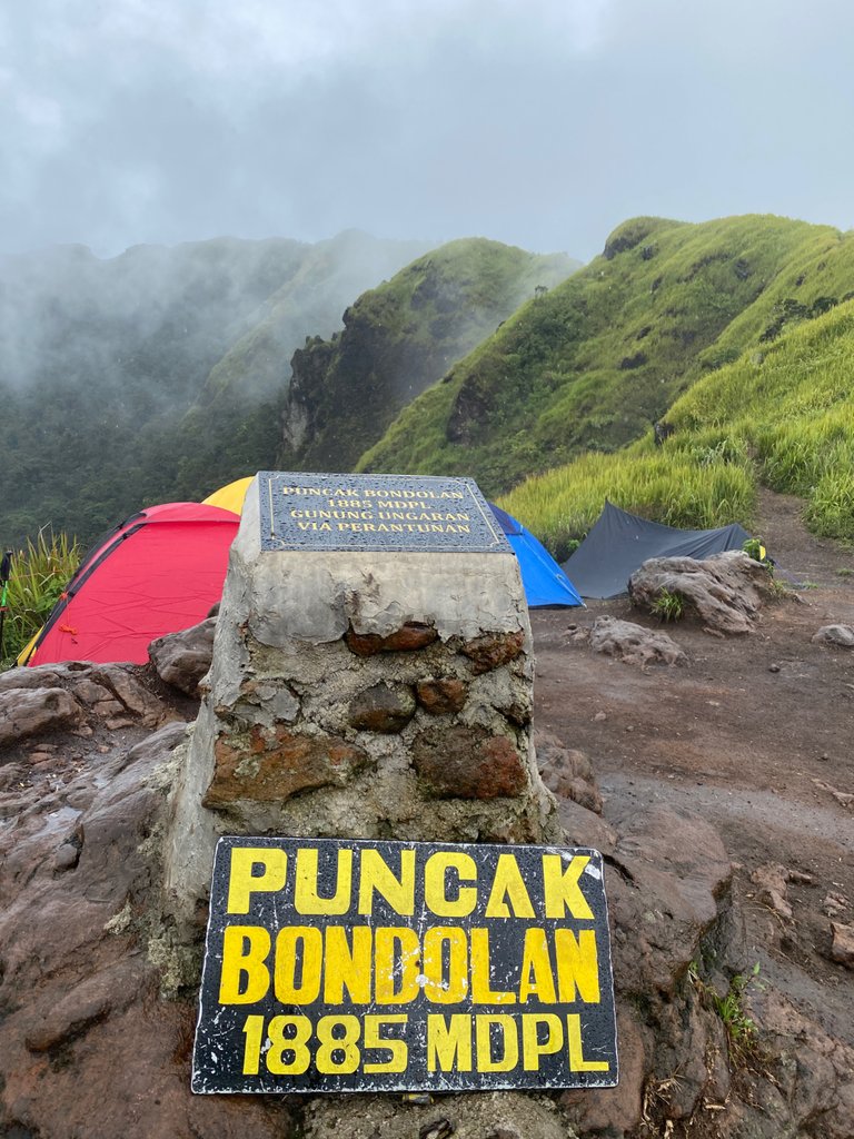
And a few stories about the experience of climbing Mount Ungaran in the rainy season yesterday with a feeling of immense pleasure. Maybe, next time we can repeat the climb again in the summer.
See you in another travel story, thank you for taking the time to read guys.
Congratulations @fatimatuzzahro! You have completed the following achievement on the Hive blockchain and have been rewarded with new badge(s):
Your next target is to reach 200 upvotes.
You can view your badges on your board and compare yourself to others in the Ranking
If you no longer want to receive notifications, reply to this comment with the word
STOPCheck out the last post from @hivebuzz:
Congratulations, your post has been added to Pinmapple! 🎉🥳🍍
Did you know you have your own profile map?
And every post has their own map too!
Want to have your post on the map too?
Hiya, @lizanomadsoul here, just swinging by to let you know that this post made it into our Honorable Mentions in Daily Travel Digest #1398.
Your post has been manually curated by the @pinmapple team. If you like what we're doing, please drop by to check out all the rest of today's great posts and consider supporting other authors like yourself and us so we can keep the project going!
Become part of our travel community:
Finally, you are able to climb Mountain again :)
Stay safe with your partner :)
alhamdullillah
thanku sis🤗
Wow! it was really foggy from the pics, was it cold?😅
haha..yeah pretty cold but still fun😁