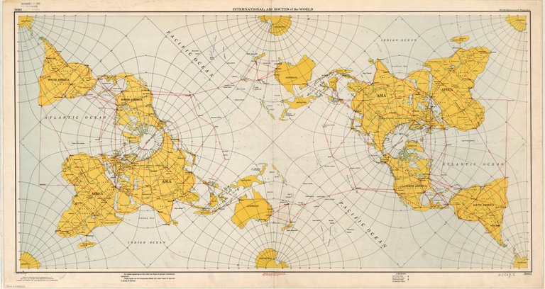
International air routes of the world / compiled and printed at Washington, D.C. by the U.S. Coast and Geodetic Survey under authority of the Secretary of Commerce.
Shows air routes and distances, and first, second and third class cities. "Air routes appearing on this chart are those of pre-war commercial operations. These routes do not necessarily reflect the exact track of any one or group of airlines." "Price 40 cents." "Received Dec 21 1945 gift from publisher" -- stamped in upper margin.