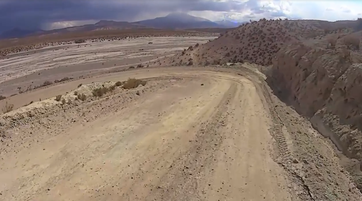
After having completed the first stage without problems
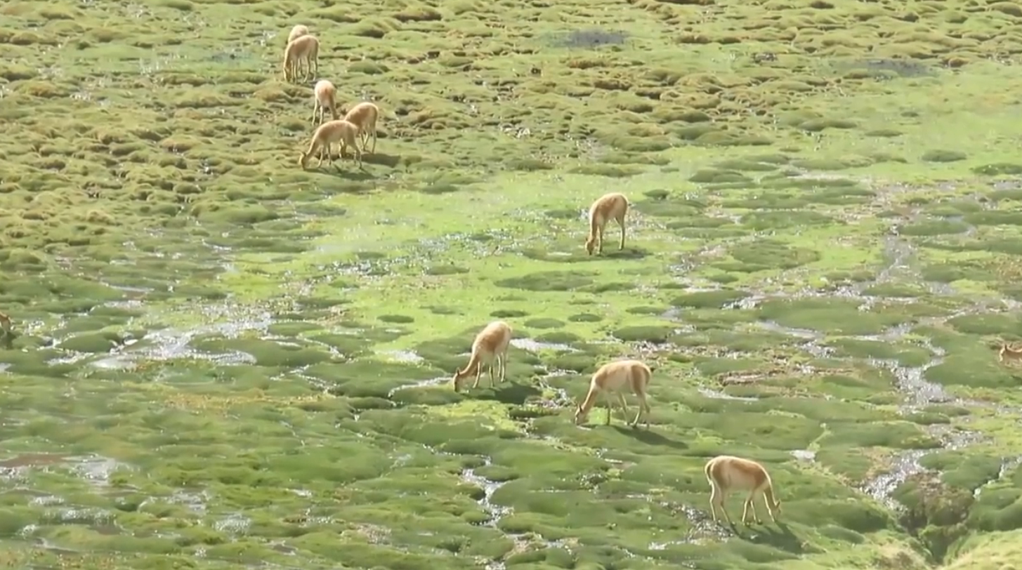
and the second contemplating the wonders of the puna landscape
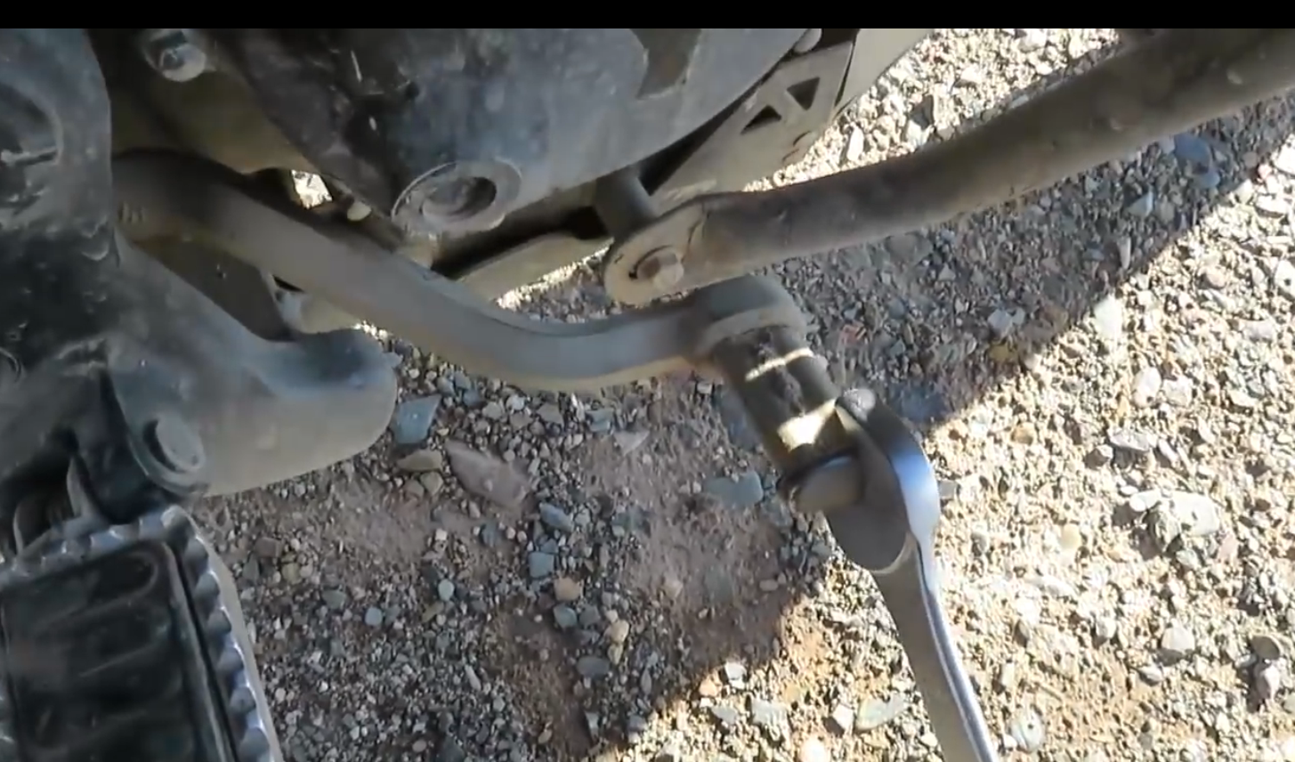
he would encounter the first (mechanical) difficulties in the course of the third stage.
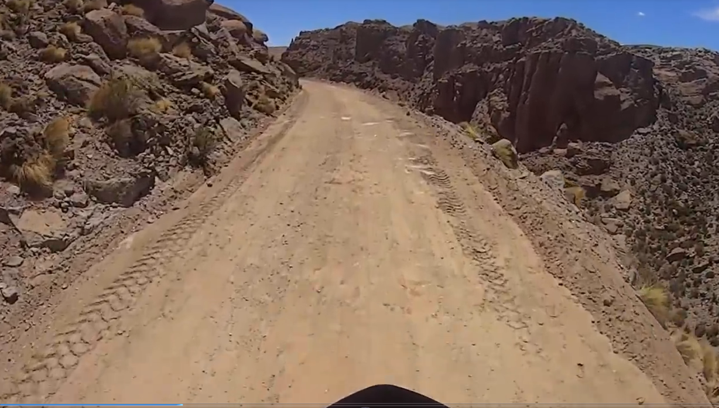
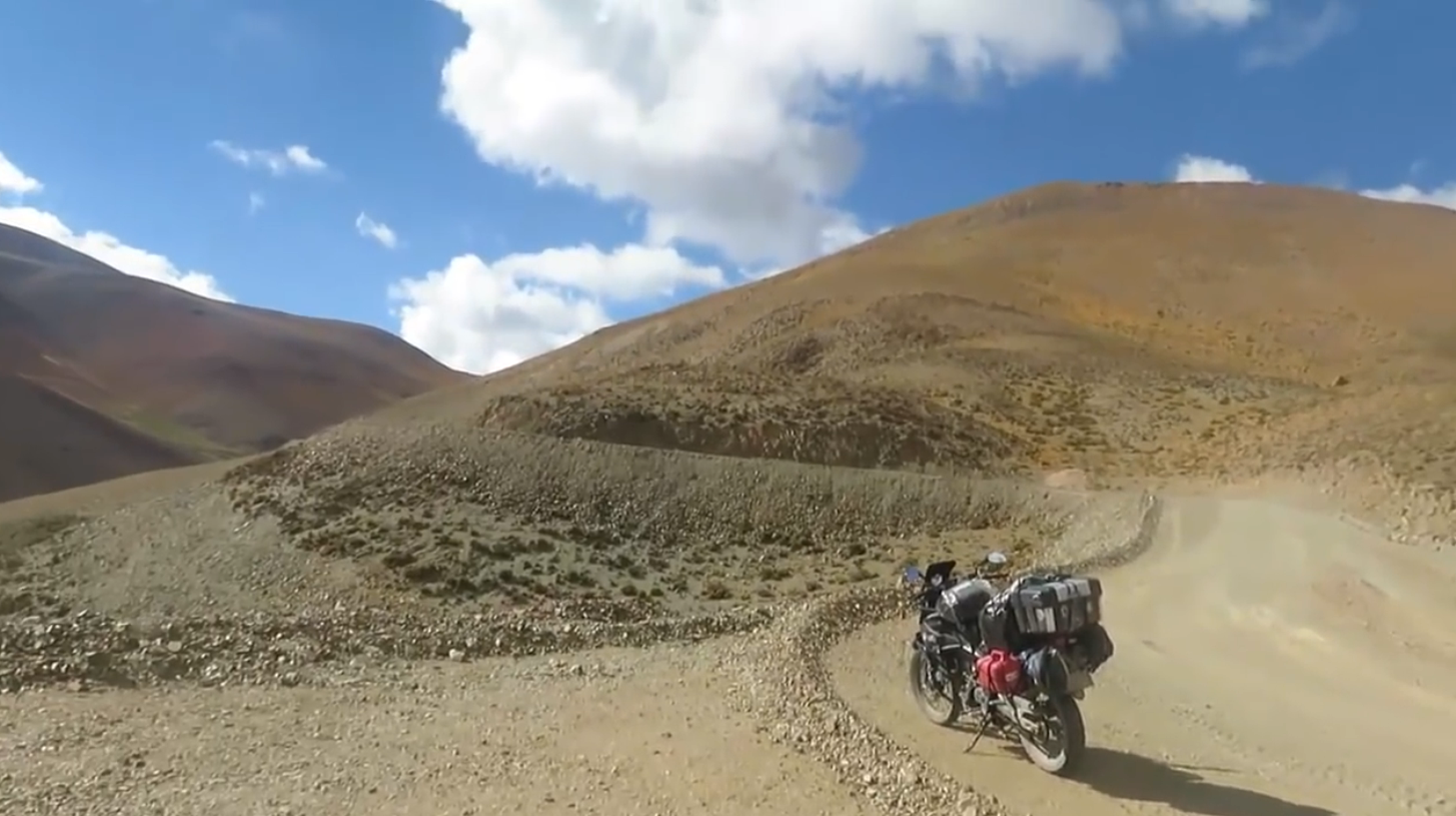
Roll and roll. It goes up and down the hill. With all senses alert.
A distraction, speeding means losing control of the bike and ruining the trip. And perhaps with more serious consequences.
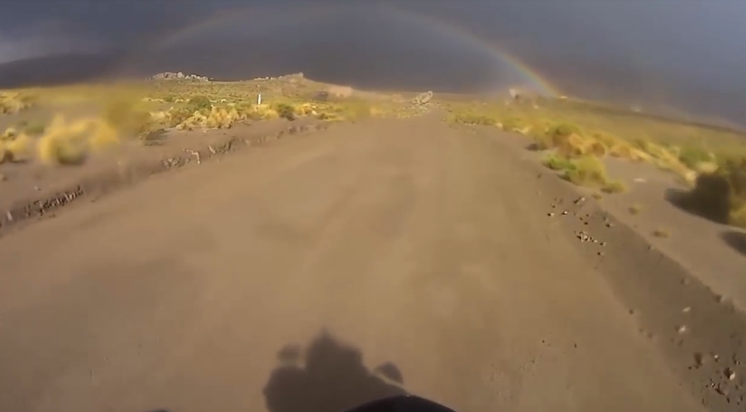
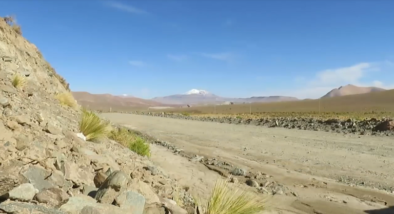
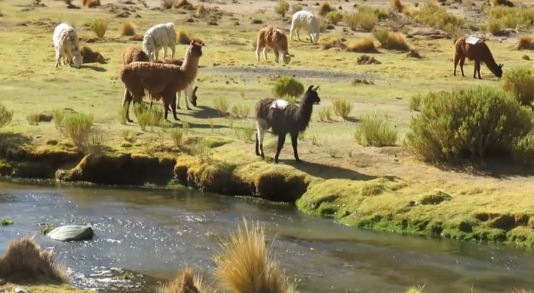
And suddenly again in the middle of the aridity of the terrain, characteristic of the Puna, the water in our journey.
Water that steadily descends from the mountains and seeps through the terrain on each decline it encounters.
And suddenly the inevitable. I let myself be carried away by the enthusiasm and observe that endless landscape, I got distracted, I slipped and I went with the motorcycle to the ground.
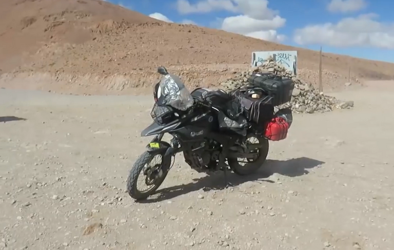
Logro repararla y sigo
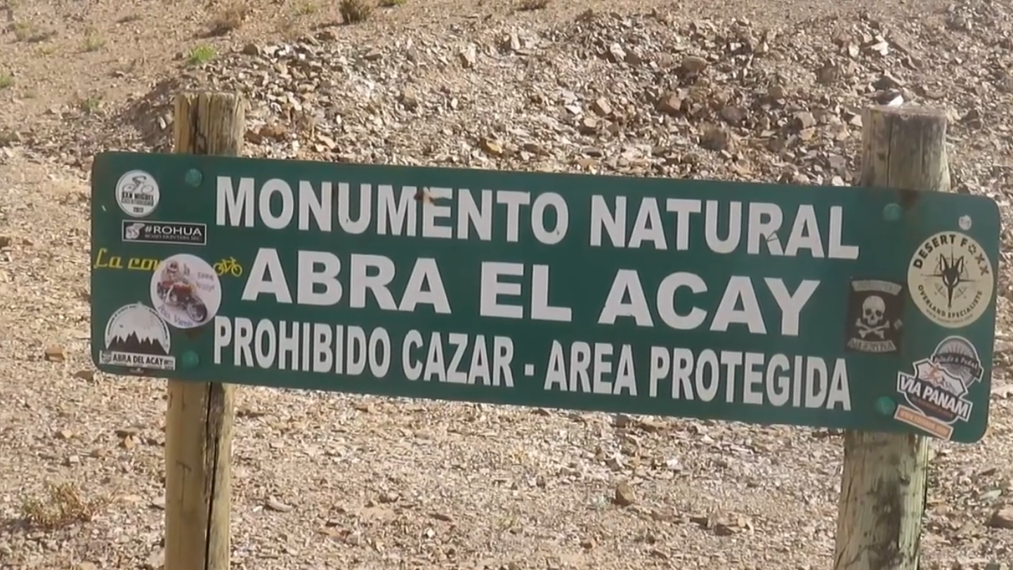
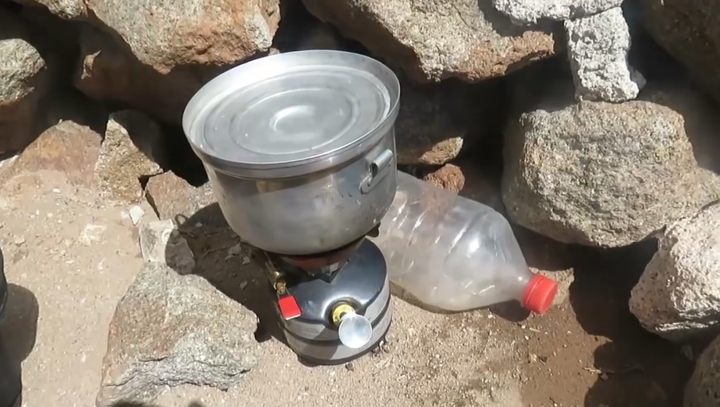
Finally I get to Abra del Acay.
The highest place on Route 40 at more than 4800 meters above sea level.
The old, long-suffering and beloved motorcycle, faithful companion of so many adventures, resists.
Upon reaching the top I make myself a coffee. Cafe in the clouds.
Thank you for reading!
To get more updates you can follow my blogs and / or feel free to follow me on social networks Facebook, Instagram, Medium, Pinterest, Telegram and Twitter.
 |  |  |  |  |  |
|---|

Congratulations @patagonian-nomad! You have completed the following achievement on the Hive blockchain and have been rewarded with new badge(s) :
You can view your badges on your board And compare to others on the Ranking
If you no longer want to receive notifications, reply to this comment with the word
STOPSupport the HiveBuzz project. Vote for our proposal!
Thank you for the support received in this community @hivebuzz
You are so very welcome @patagonian-nomad! This is a great post! Why didn't you put it on @pinmapple for your travelmap?
cheers, liz
I'm going to try to do it.
Thanks for commenting and supporting my content.
What application should I use to publish in @pinmapple Liz?
Hey @patagonian-nomad! You can get out the code and put it in your post without application or do it with the Haveyoubeenhere App. - It is simple really :)
cheers, liz
This looks like an amazing adventure and one I think I would like to be on also! I was wondering how remote this area is. I assume it is pretty remote judging by the images. Is it dangerous to travel in this area, are there bandits or troubles from locals?
The problem @allover is represented above all by the lack of technical assistance for vehicles, fuel service stations and food stalls throughout much of the route. I had to fix the bike on my own in the middle of the gravel road because there was nothing nearby.
Bandits exist only in films and people are very friendly and simple.
It is a unique and exciting experience that you have to do at least once in your life.
Greetings and have a good weekend.
I live in a massive country, in fact my country is a continent in its own right. It is huge, and only sparsely populated with 26 million people so we have many remote places. 95% of our population lives on 5% of the land and the vast majority is coastal so inland there are places that have probably not felt the tread of a human foot. I travel to those places a lot, adventuring as you have done. Not on a bike though.
I would love to explore the areas you have and to understand them more.
Thank you and have a good weekend.